• Home
  • Trails
    • Trails and Hikes Blog
    • Photography
    • Trail and Hike Index
  • About
    • Background
    • Terms
  • Resources
    • Trail Safety
    • Trail Maps and Links
  • Programs
    • Corporate Wellness
    • Guided Meditation
    • Life Coaching
    • Personal Training
  • Contact
  • Menu

Find Your Trail®

Health and Wellness through Nature
  • Home
  • Trails
    • Trails and Hikes Blog
    • Photography
    • Trail and Hike Index
  • About
    • Background
    • Terms
  • Resources
    • Trail Safety
    • Trail Maps and Links
  • Programs
    • Corporate Wellness
    • Guided Meditation
    • Life Coaching
    • Personal Training
  • Contact
Lagunitas Creek 6.jpg
Lagunitas Creek 13.jpg
Lagunitas Creek 20.jpg
Lagunitas Creek 28.jpg
Lagunitas Creek 31.jpg
Lagunitas Creek 33.jpg
Lagunitas Creek 35.jpg
Lagunitas Creek 43.jpg
Lagunitas Creek 6.jpg Lagunitas Creek 13.jpg Lagunitas Creek 20.jpg Lagunitas Creek 28.jpg Lagunitas Creek 31.jpg Lagunitas Creek 33.jpg Lagunitas Creek 35.jpg Lagunitas Creek 43.jpg

Lagunitas Creek

September 13, 2013

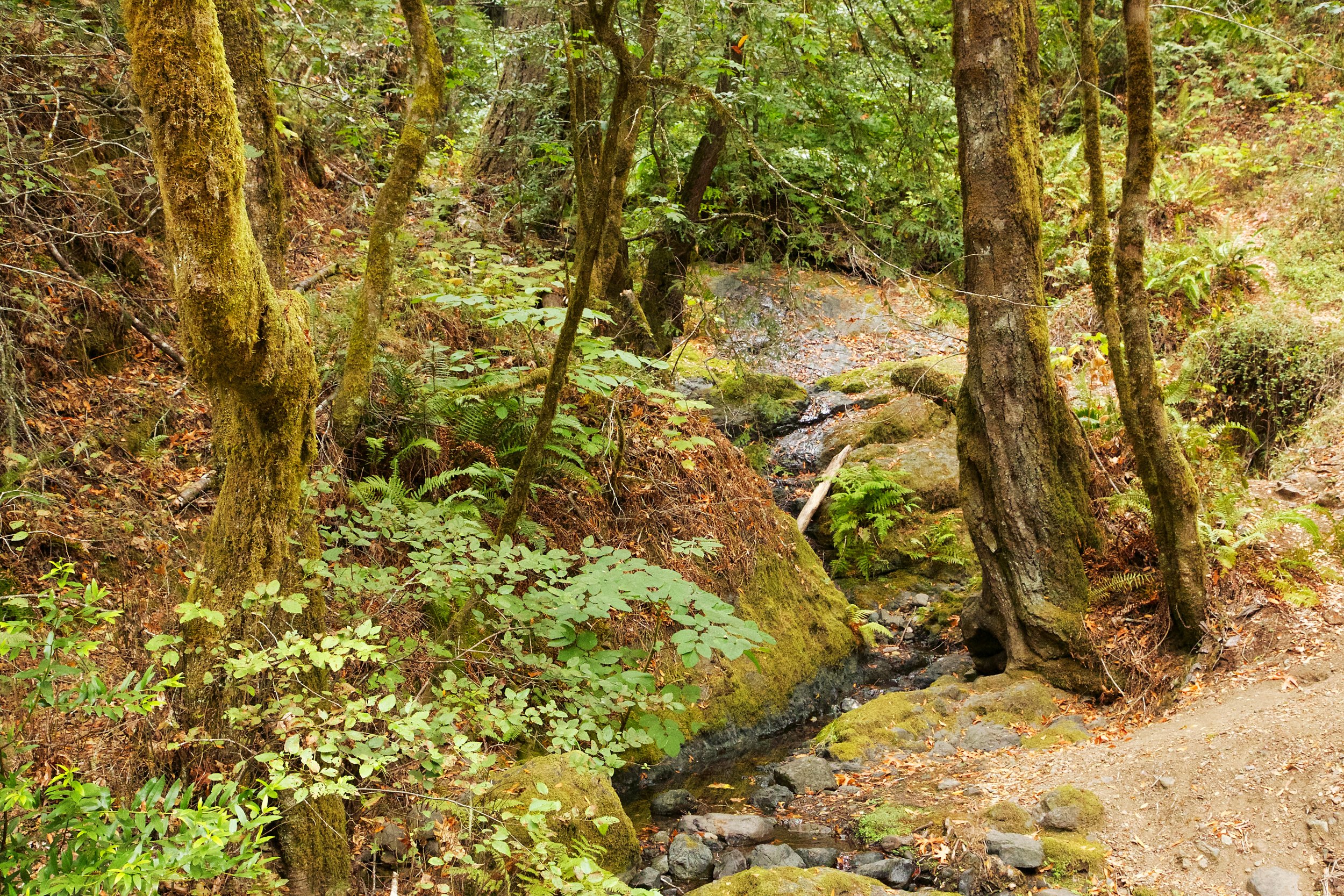
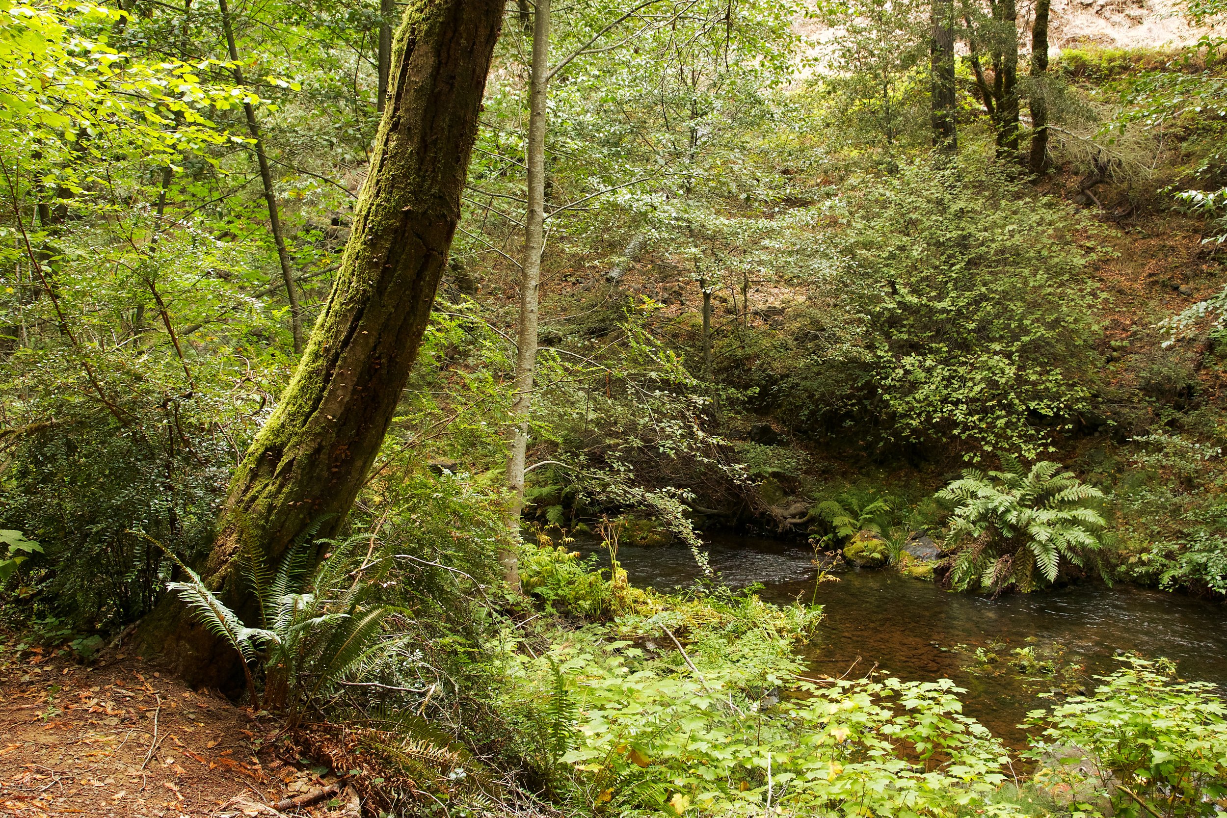
Lagunitas Creek is one of the last strongholds for central California coast Coho salmon.  As part of their spawning process, they enter the creek from the ocean.  Their migration starts in October, and they swim upstream to spawn.  Peak spawning is in December, and lingers until February.

Baby Salmon hide under log jams for protection. The Marin Water District has created these artificial log jams to help protect the salmon.I walked along the creek to the dam, and then turned around and climbed up Shafter Grade.  This is a nice hike, with views and the ability to go deep in to Marin Watershed lands, and ultimately to the coast.

Keeping an eye on me.

My trip was quick, I just wanted to scout this location and take some pictures.  I will explore this in more detail in the future, but I wanted to share this with you now in case you're interested in watching the salmon spawn.

Enjoy your hike, and be safe.


  • Location: Lagunitas Creek, Mount Tamalpais Watershed
  • Route: Shafer Grade Trail and Lagunitas Creek Trail
  • Mileage: 3.06 miles
  • Difficulty Level: Moderate
  • Description: Lagunitas Creek is one of the last strongholds for central California coast Coho salmon.  As part of their spawning process, they enter the creek from the ocean.  Their migration starts in October, and they swim upstream to spawn.  Peak spawning is in December, and lingers until February. I walked along the creek to the dam, and then turned around and climbed up Shafter Grade.  This is a nice hike, with views and the ability to go deep in to Marin Watershed lands, and ultimately to the coast. 
  • Trail Map
  • Trailhead and Parking

Lagunitas Creek 25.jpg

Lagunitas Creek

Mount Tamalpais Watershed

Full Image Gallery


Comment
Napa State Park Coyote Peak 9.jpg
Napa State Park Coyote Peak 12.jpg
Napa State Park Coyote Peak 13.jpg
Napa State Park Coyote Peak 18.jpg
Napa State Park Coyote Peak 24.jpg
Napa State Park Coyote Peak 36.jpg
Napa State Park Coyote Peak 52.jpg
Napa State Park Coyote Peak 9.jpg Napa State Park Coyote Peak 12.jpg Napa State Park Coyote Peak 13.jpg Napa State Park Coyote Peak 18.jpg Napa State Park Coyote Peak 24.jpg Napa State Park Coyote Peak 36.jpg Napa State Park Coyote Peak 52.jpg

Hike to Coyote Peak, Bothe - Napa Valley State Park

September 03, 2013

Bothe - Napa Valley State Park is accessible right off Highway 29 and just down the street from downtown St. Helena.  You can get there early, do this hike, a pleasant and rewarding 4.73 miles, and finish with a meal and great local wines. 

Directions to Park

Trail Map

Park History

Trail Description from Park Website

Full Photo Gallery (Ritchey Canyon Trail, South Fork Trail)

Full Photo Gallery (Coyote Peak Trail, Redwood Trail)

As of this writing, the park access fee is $8. You can park right near the trailhead, and you'll see this sign at the start of the trail.

Starting here takes you on to the trails, but first, cross a paved narrow service road and go by a few other buildings.  They have a few Yurts set up too.  You can rent them for camping if you don't have your own tent. 

As the trail map shows, there are not a lot of trails here.  But you'll see a great variety of trees in this park, including coastal redwoods, oaks, maples, madrones and hazelnut.  

Even late in the summer the forest looked lush and green.

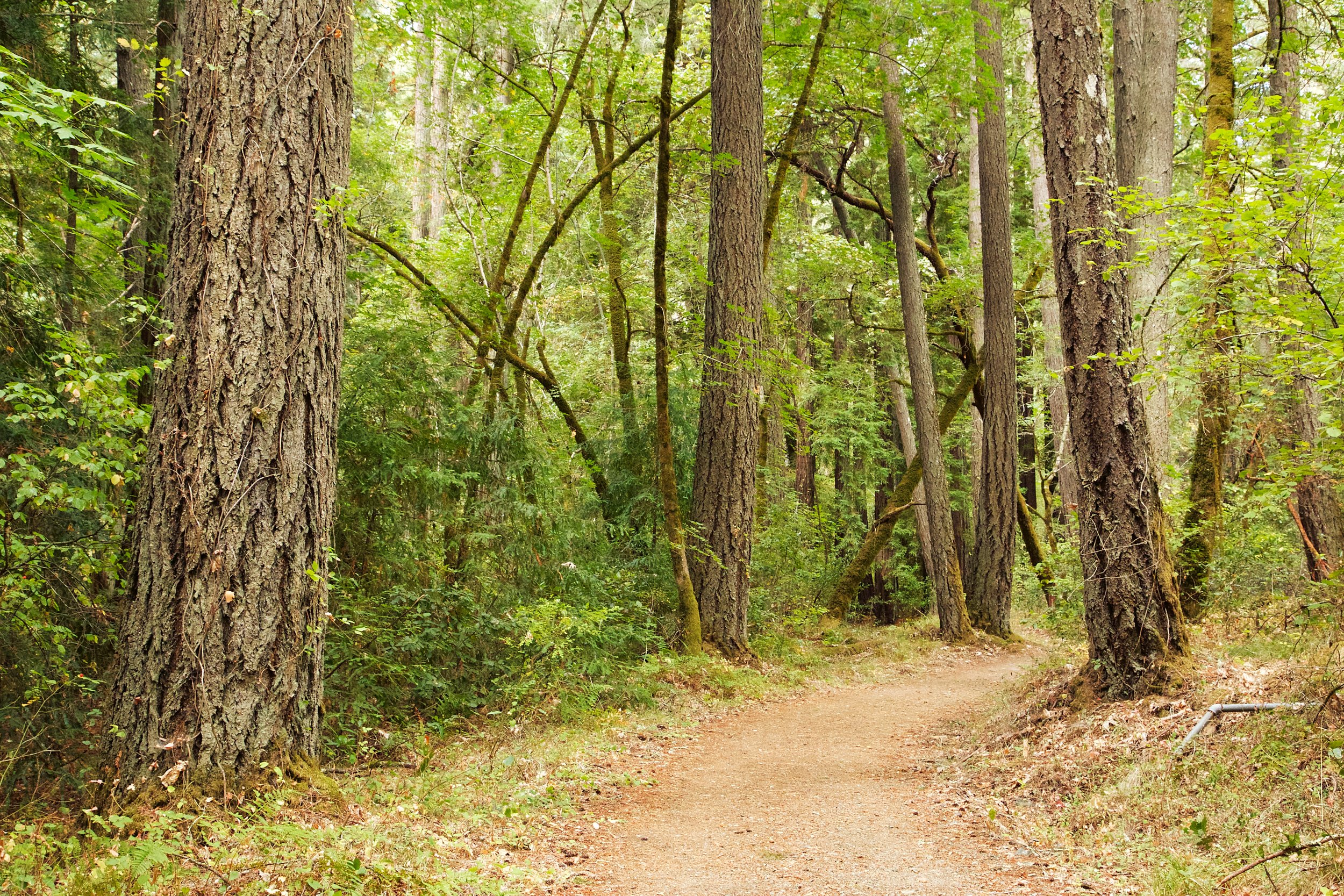
Redwoods are abundant here, but not towering.  Like most of the local redwood forests, the giant trees were logged in the mid 1800's to provide the structure for San Francisco. 

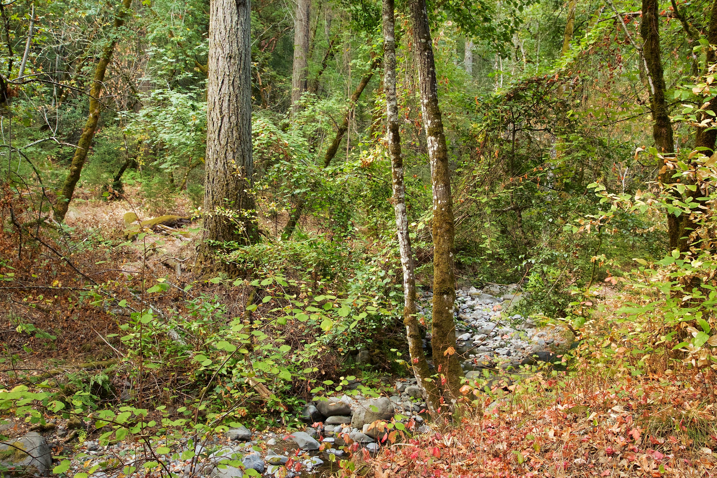
In the fall, Ritchey creek is mostly dry, with a moderate trickle of water flowing through the rocks.

Continue on the Ritchey Canyon Trail, crossing the stream here:

Cross the stream and continue on the Ritchey Canyon Trail when you see this sign.

Now Ritchey Creek is on your left, as you continue to hike through the bays, oaks and redwoods.  

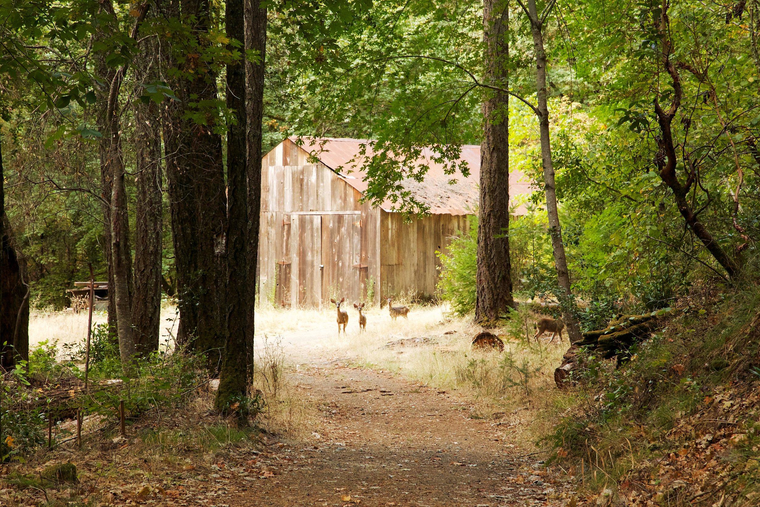
You'll pass a boarded up house, and eventually a barn.  I paused and hid a bit so I could photograph some of the locals.  Walk past this barn and continue on the trail.

Continue on Ritchey Creek Trail.

The forest becomes more dense, and the noise from the campground and highway 29 traffic starts to dissipate. 

A little madrone makes its appearance.

This trail is open to equestrians, so watch where you step.  

Continue on Ritchey Canyon Trail

Next, take the South Fork Trail and cross Ritchey Creek again.

The bridge across Ritchey Creek.

The trail goes deeper in to the redwood forest.  The trail narrows and the climb gets more intense.

Enjoy your climb through the redwoods, and eventually you'll see this sign. Here, you'll want to go left on to Coyote Peak Trail.

Nice patch of redwoods in this area.

You'll go through more redwoods, and then the trail opens up a bit as you climb.  You'll start to see quite a few vibrant and twisted manzanitas.  

Almost at the top.  When you see this sign, take a right and start your climb to the top of Coyote Peak.

There are a few old manzanitas here, as well as some madrones. 

Once you get to the top of Coyote Peak, you'll only be able to see the valley through gaps in the trees.  However, this is a nice place to rest and hydrate. 

Take some time to explore the manzanitas and madrones on your way down from the peak.

As you climb down from the peak, go right at the trail split, instead of returning the way you came. You'll visit a forest with more oaks, bays, redwoods and maples.

More redwoods start to appear on the way back.

There is a spectacular Oak forest near the end of this hike.

When Coyote Peak Trail ends, take a right on to Redwood trail, and head back to the parking lot.

This is a shorter version of the loop recommended by the park, but very doable, and leaves you with some energy to visit the wineries.  

Route Recap:

  • Start out on the Ritchey Canyon Trail
  • At split with Redwood Trail, Continue Right on Ritchey Canyon Trail
  • Continue on Ritchey Canyon Trail past Vineyard Trail
  • Cross the cement bridge, and look for South Fork Trail
  • Left on to South Fork Trail, cross wooden bridge
  • Left on to Coyote Peak Trail
  • Right at the sign to Coyote Peak, climb to the top
  • On return, back at the Coyote Peak sign, take a right on the Coyote Peak Trail (Left returns you back, right is a loop)
  • Continue on this trail until intersection with Redwood Trail.  Right here, and retrace your steps back to your car.

Be safe, and have fun.

Screen Shot 2013-09-03 at 4.51.07 PM.png
Comment