Short family loop hike from the Valle Vista Staging area.

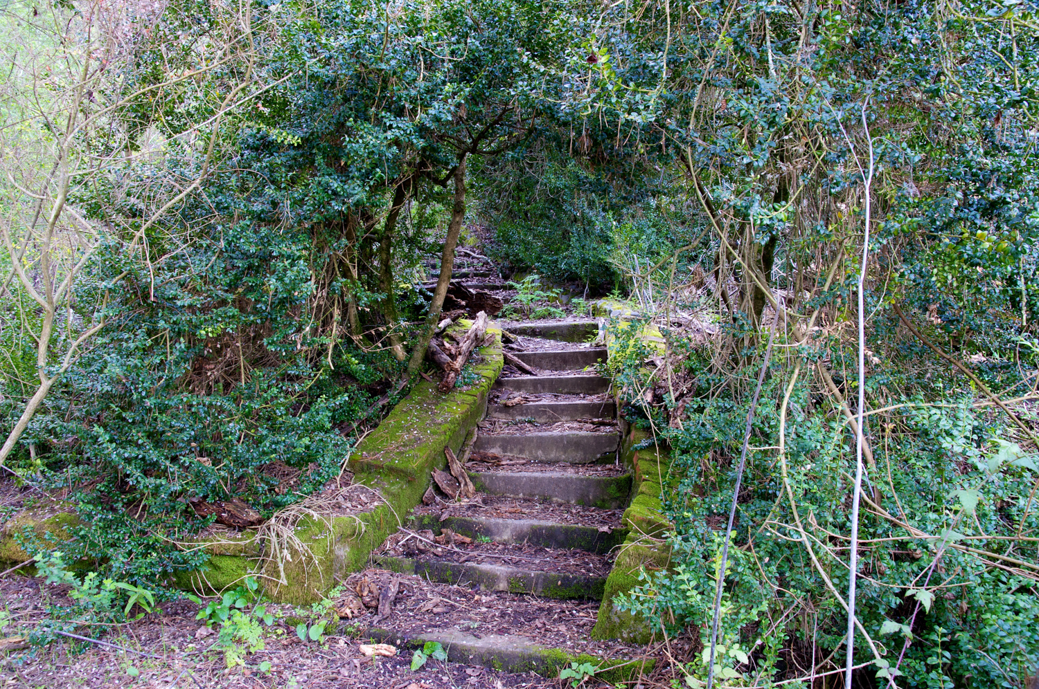
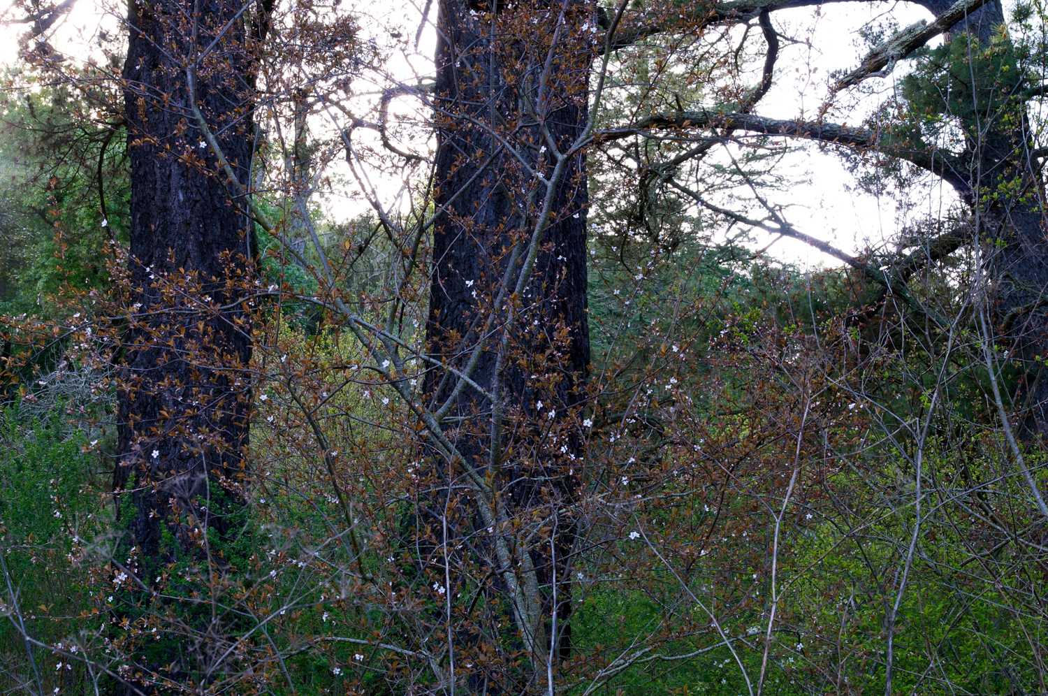
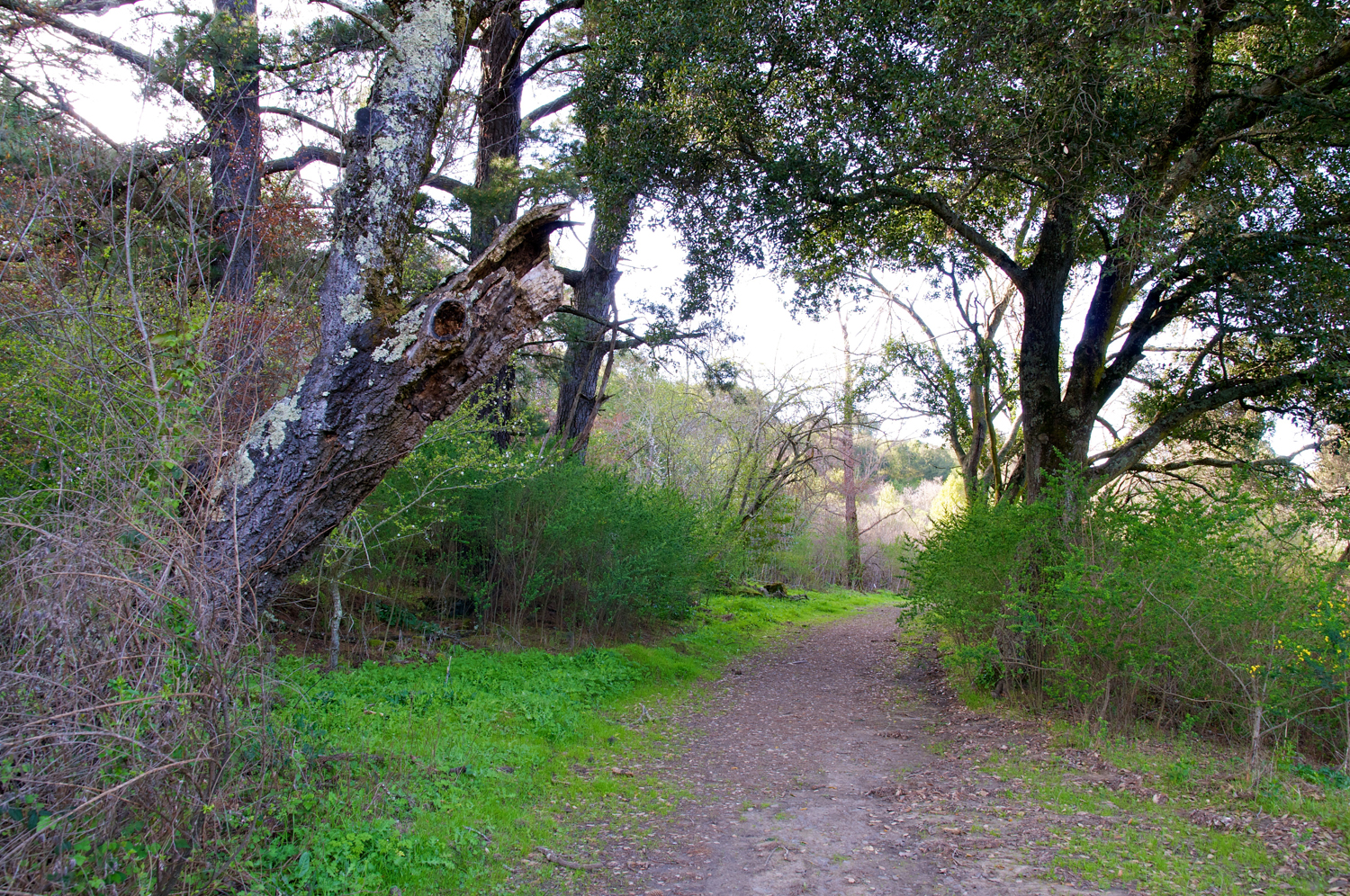
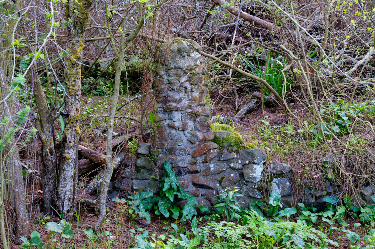
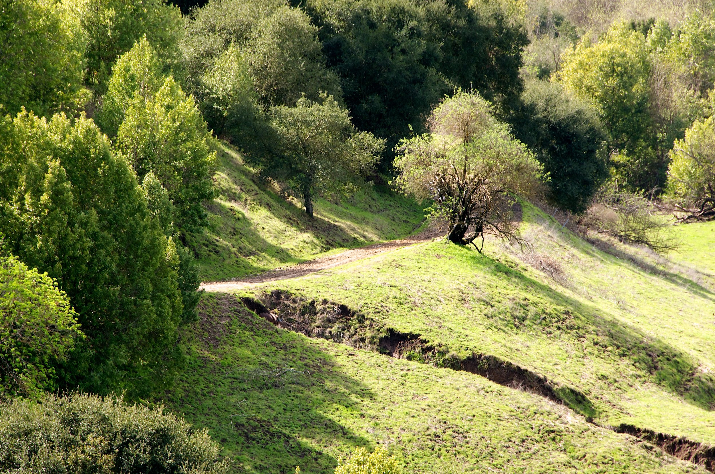
Mysterious hidden steps along the trail lead to the foundation of an old, abandoned house.

Highlights:


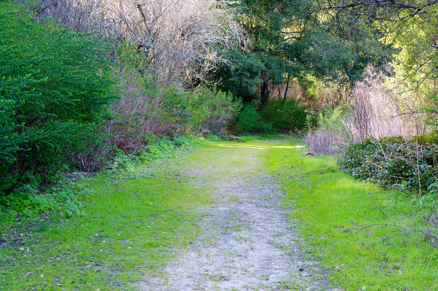


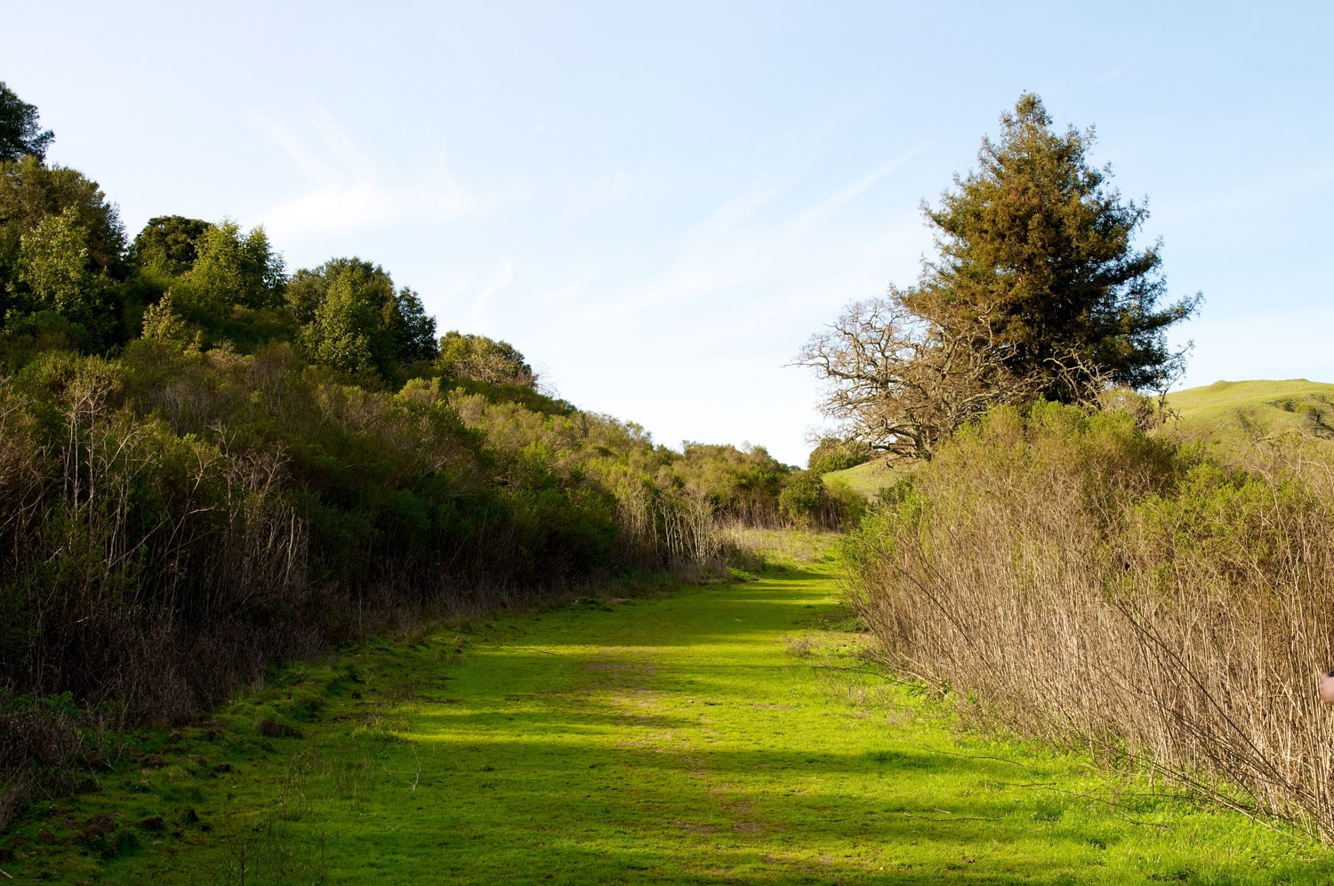


Short family loop hike from the Valle Vista Staging area.
Mysterious hidden steps along the trail lead to the foundation of an old, abandoned house.
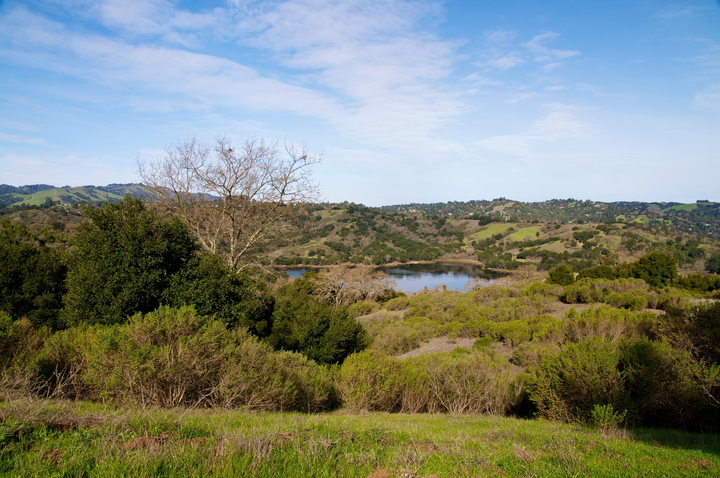
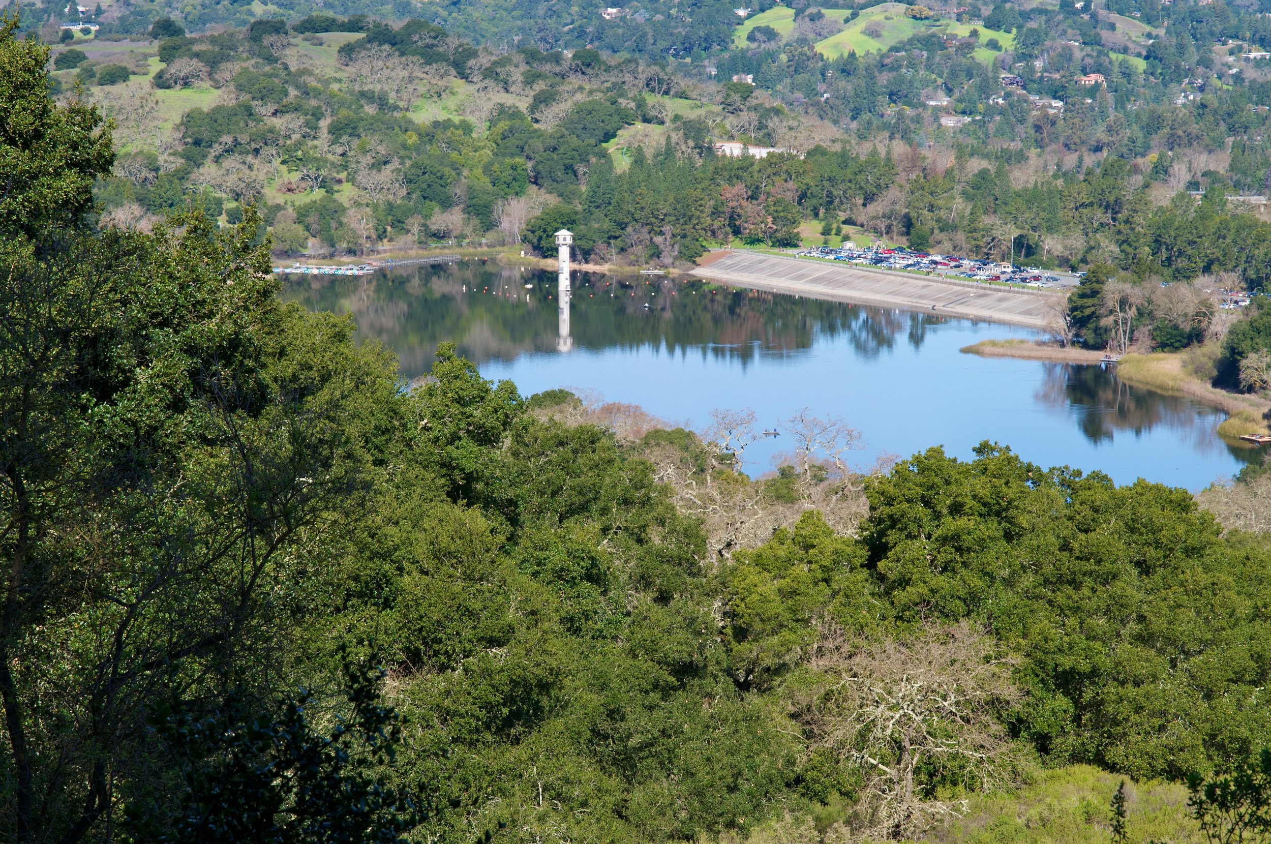
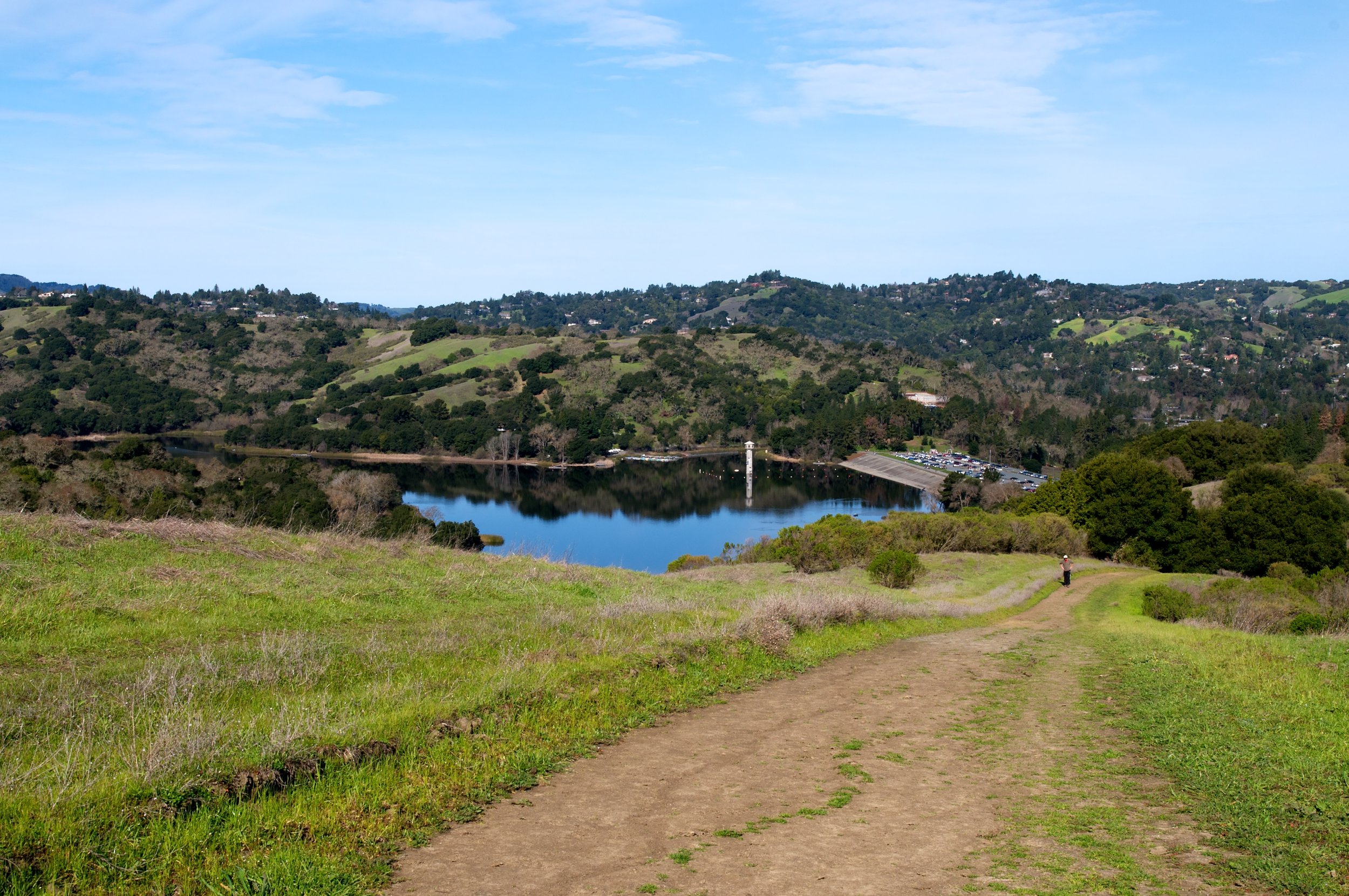
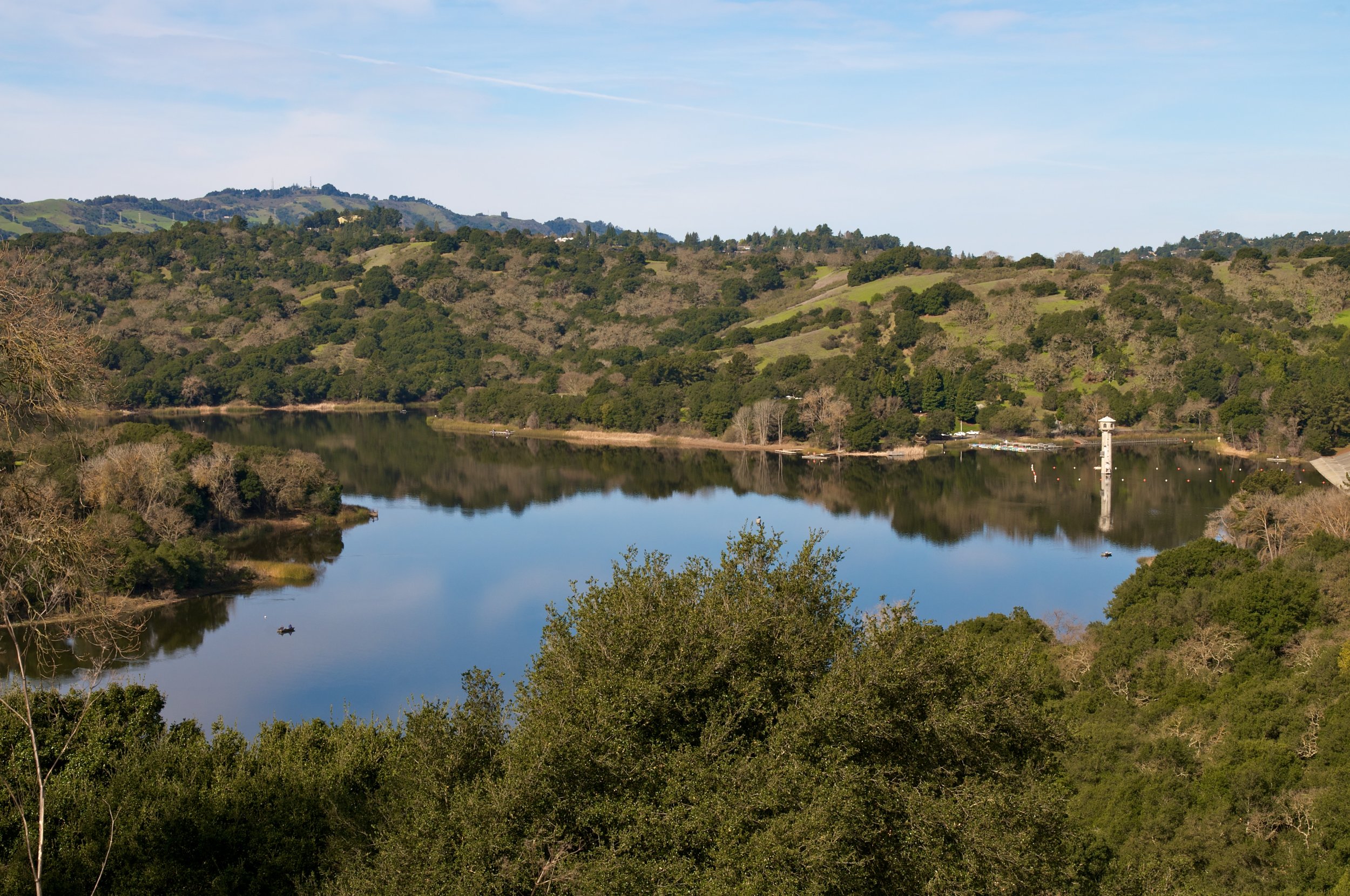
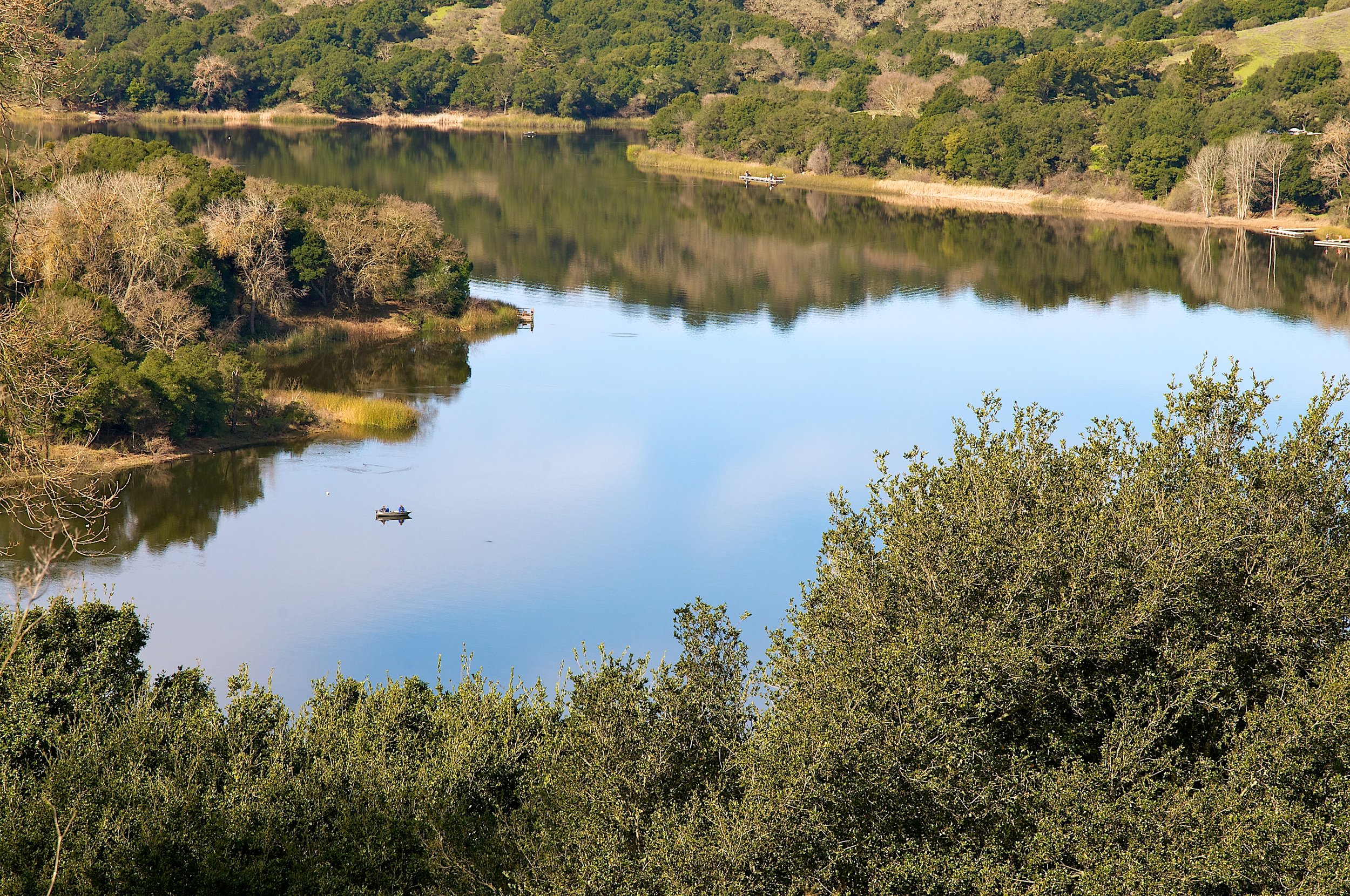
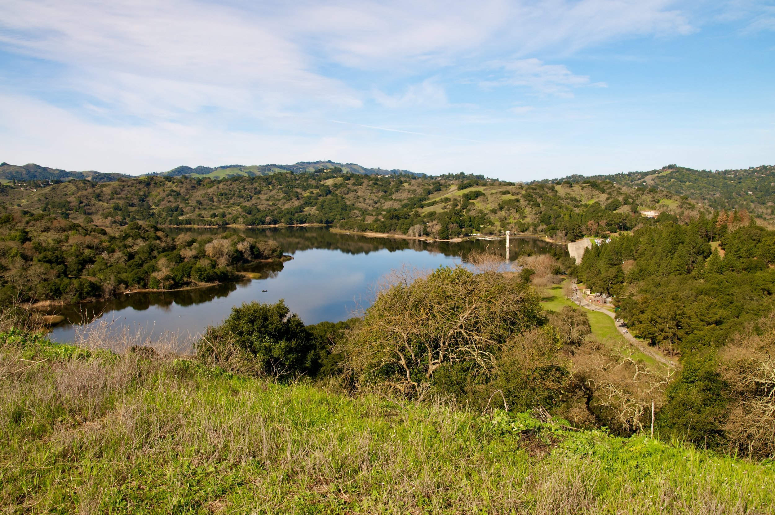
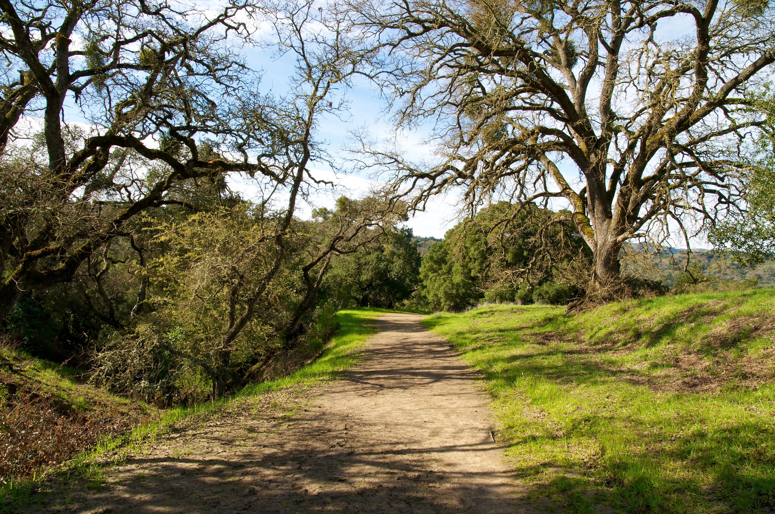
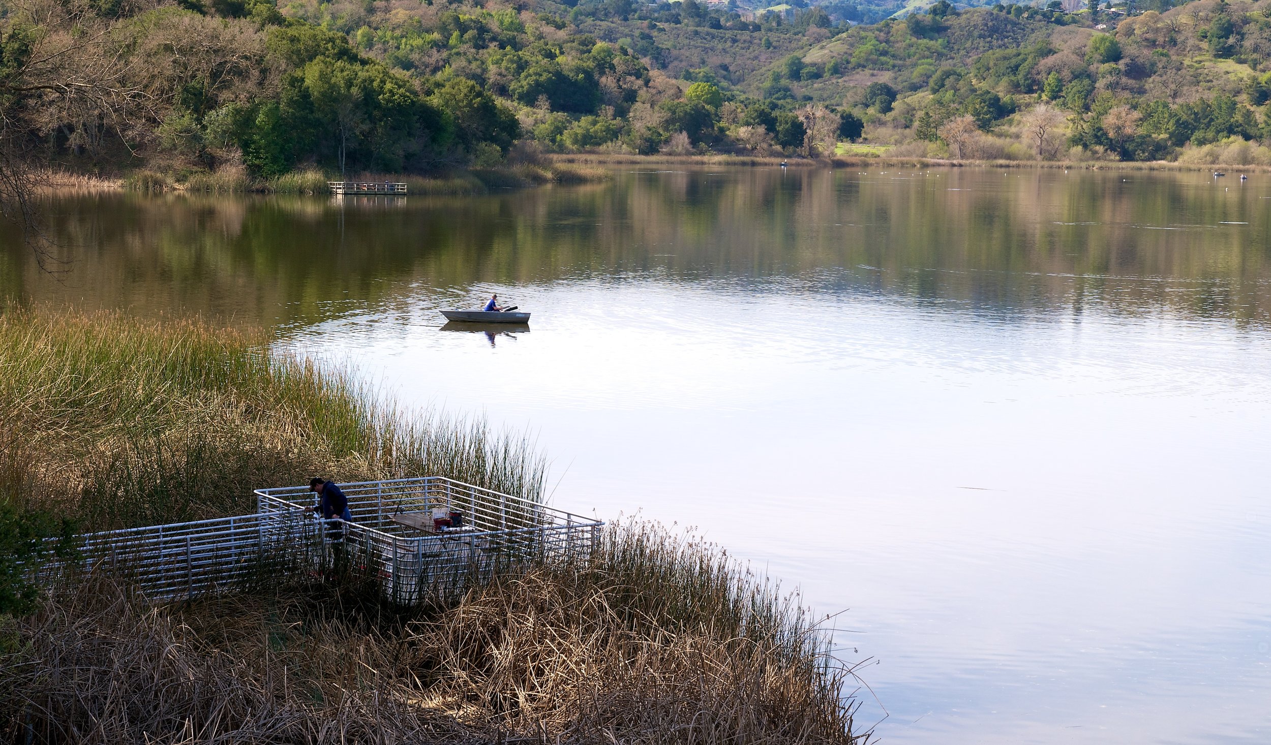
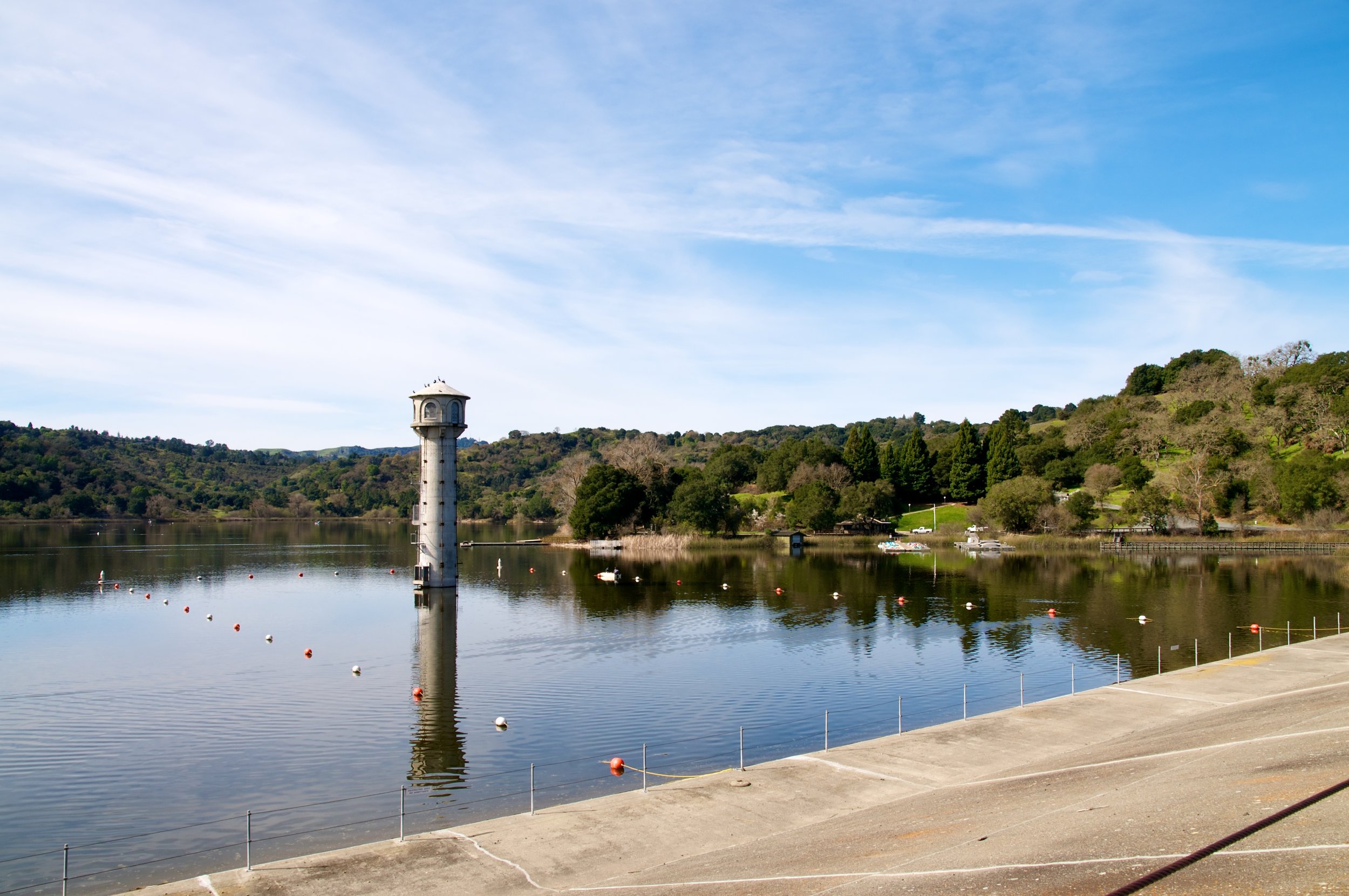
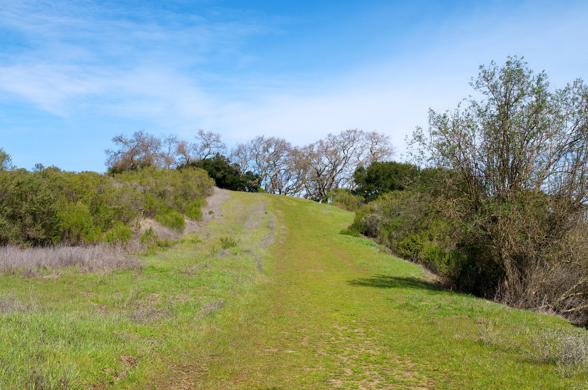
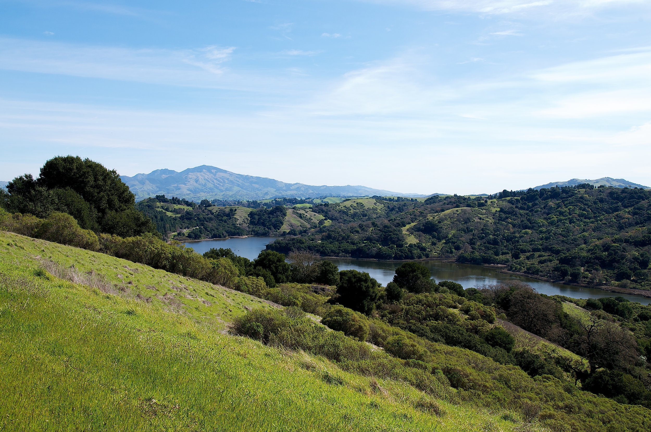
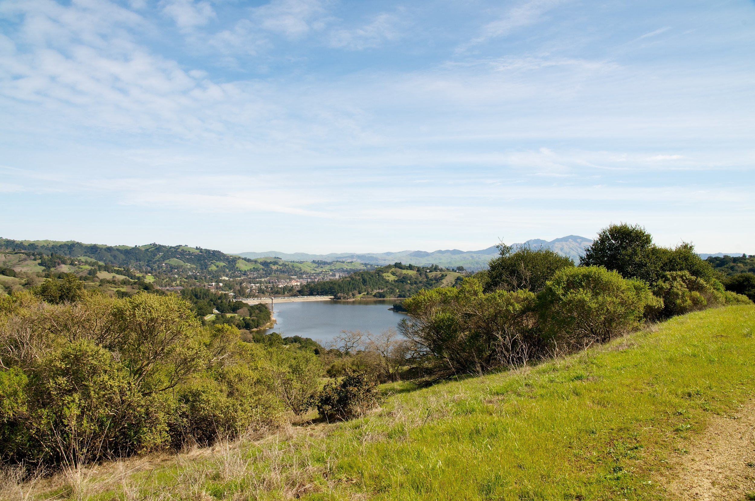
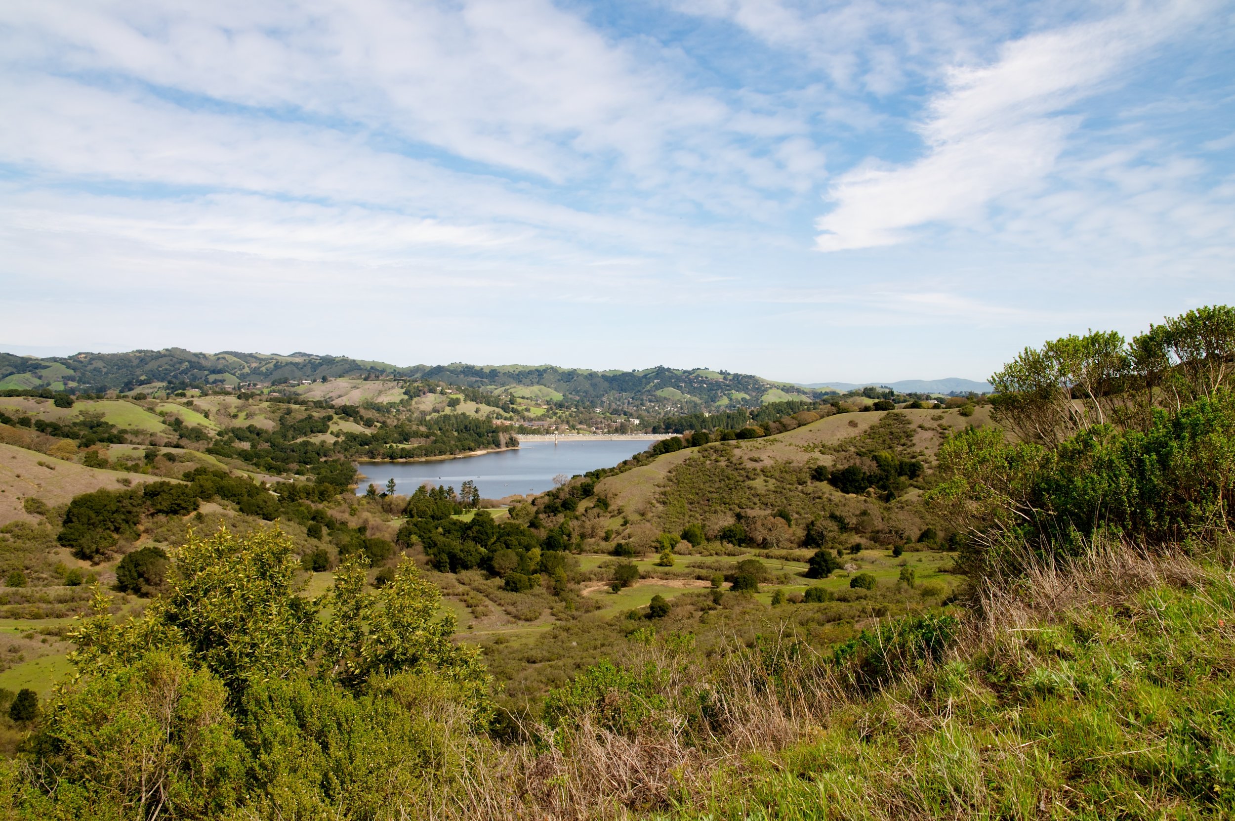
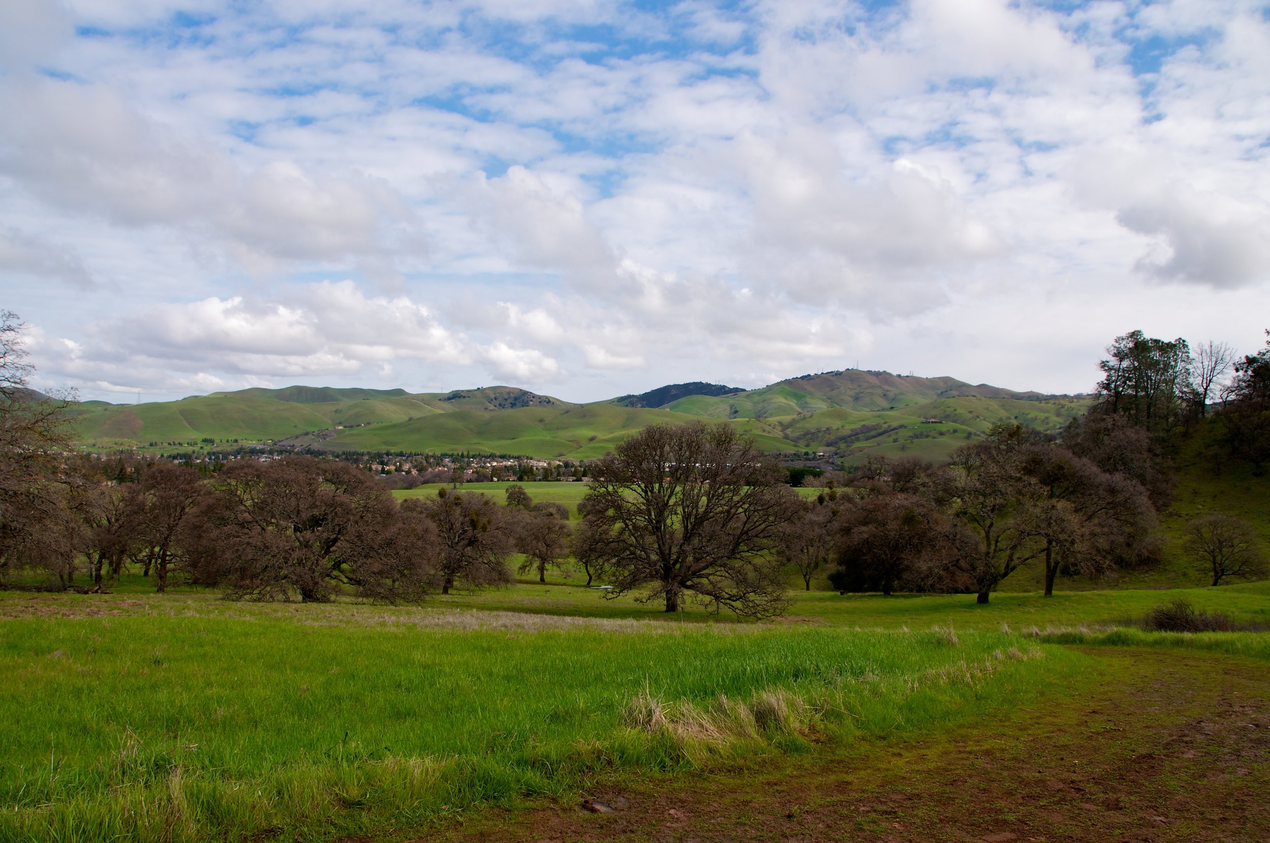
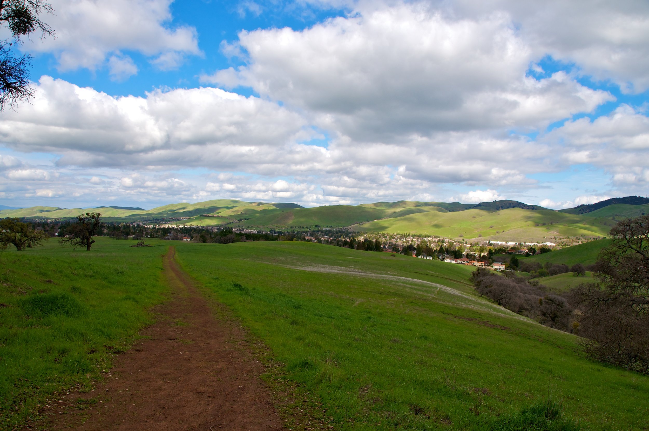
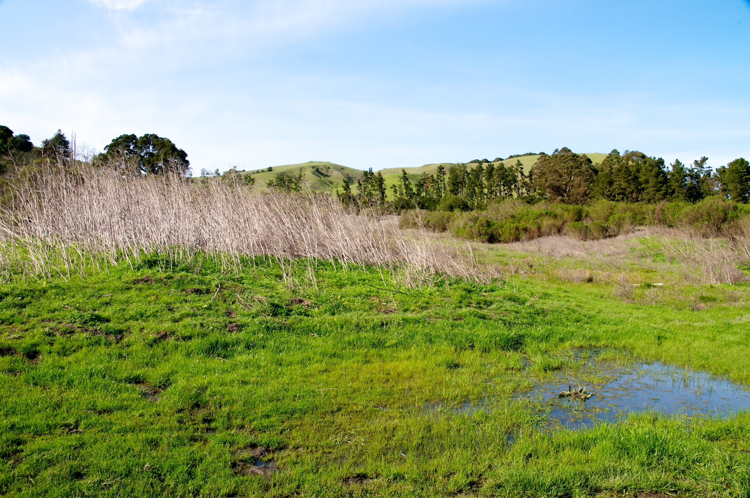
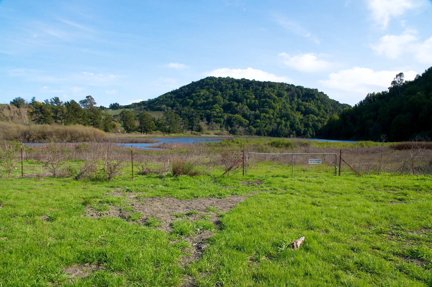
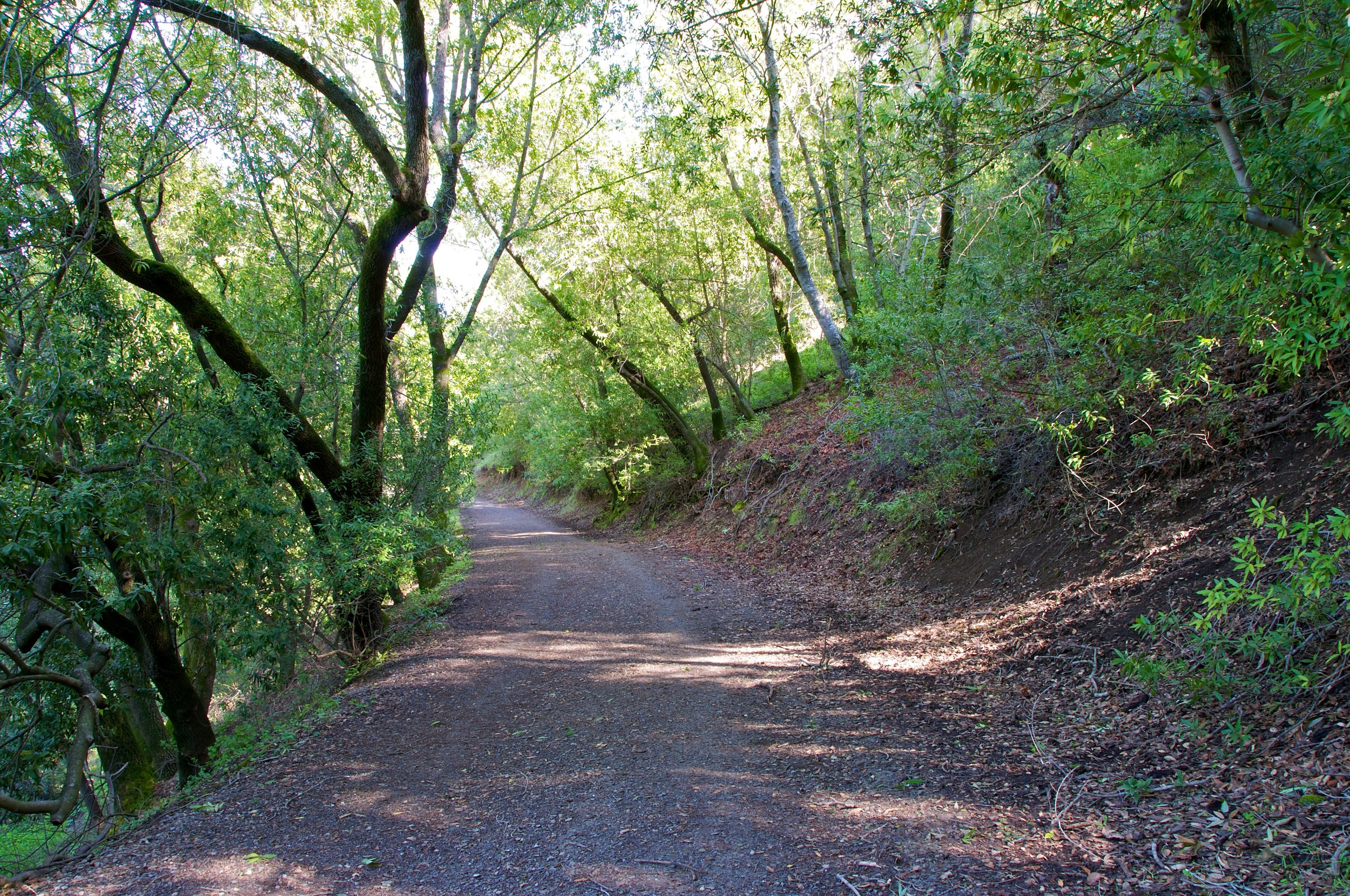
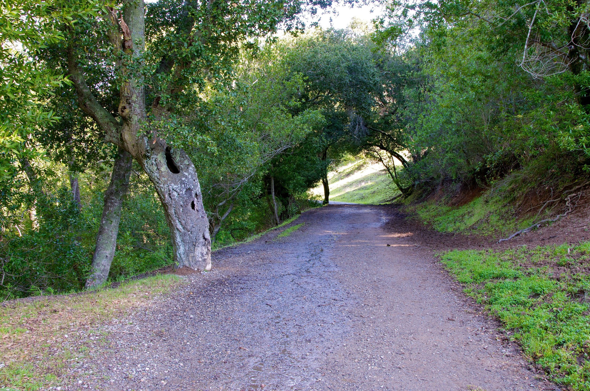
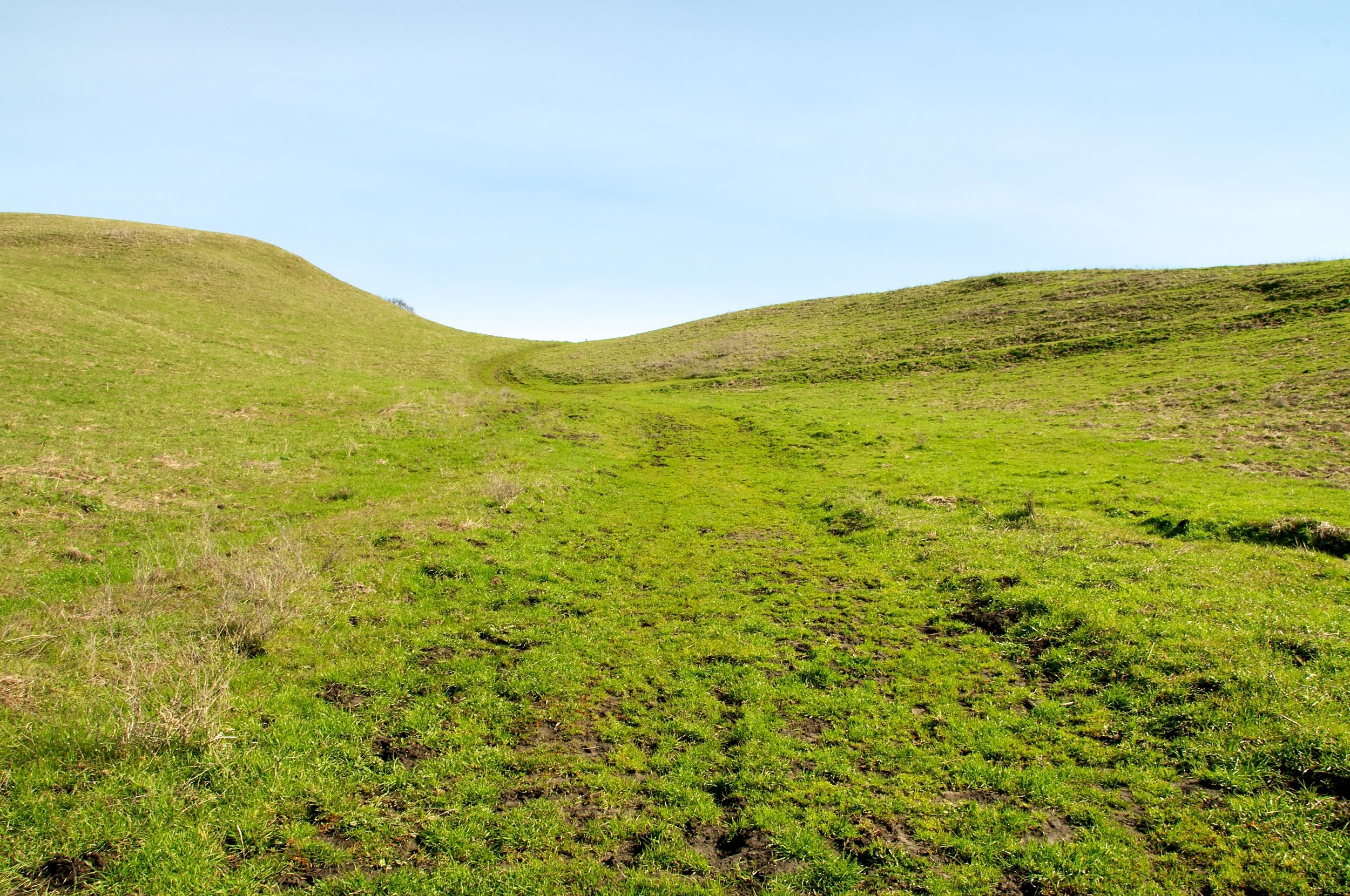
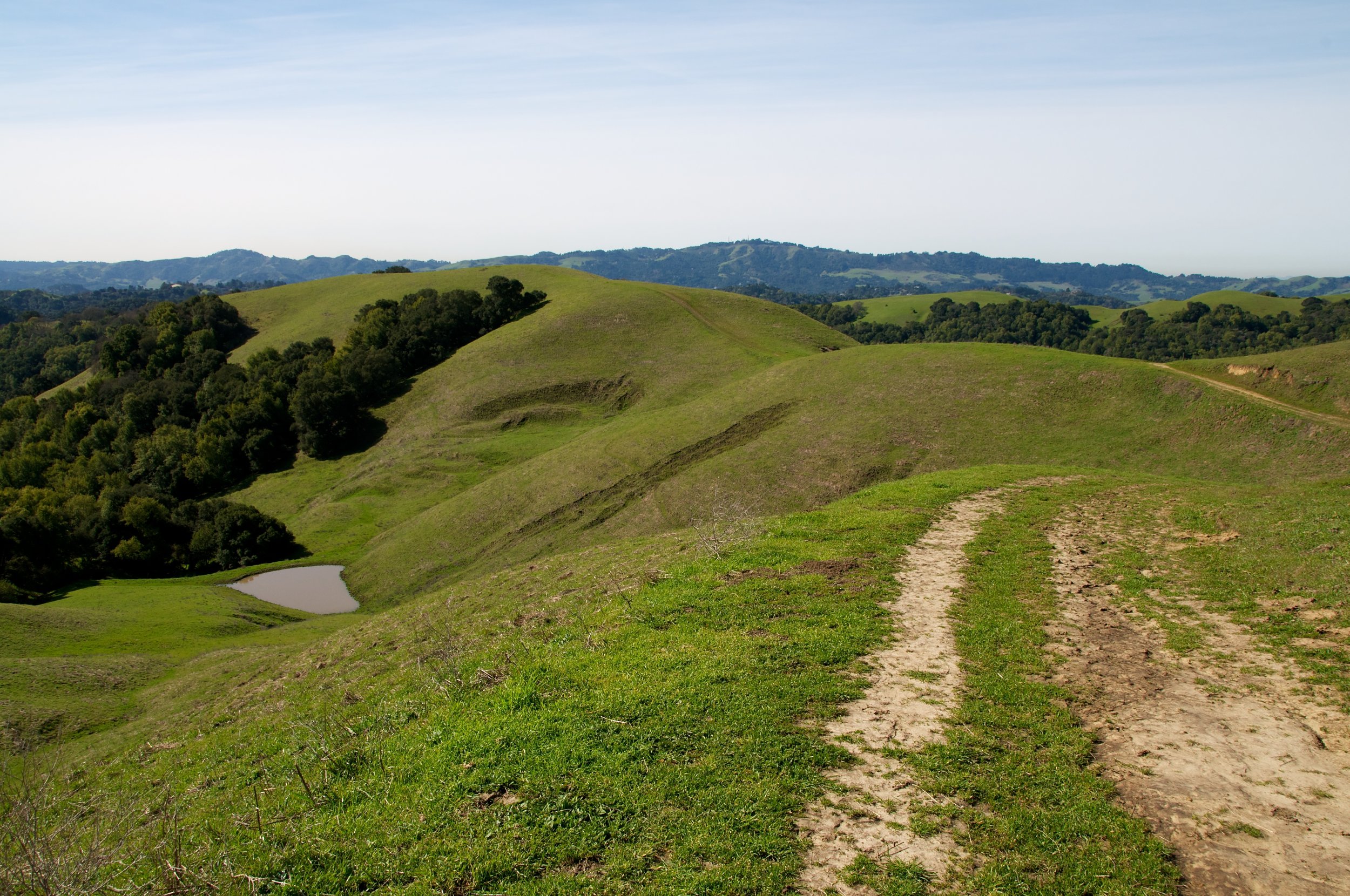
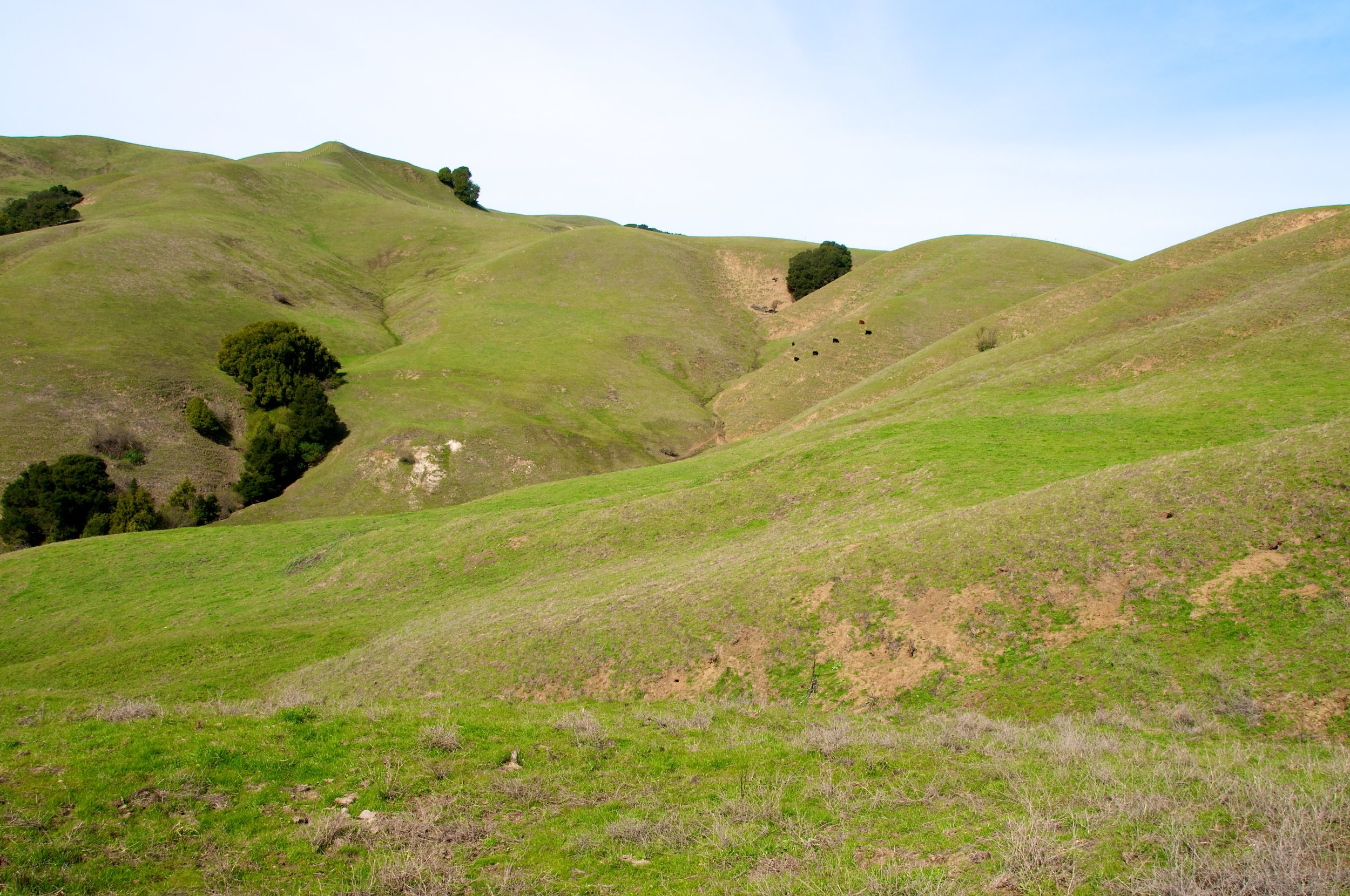
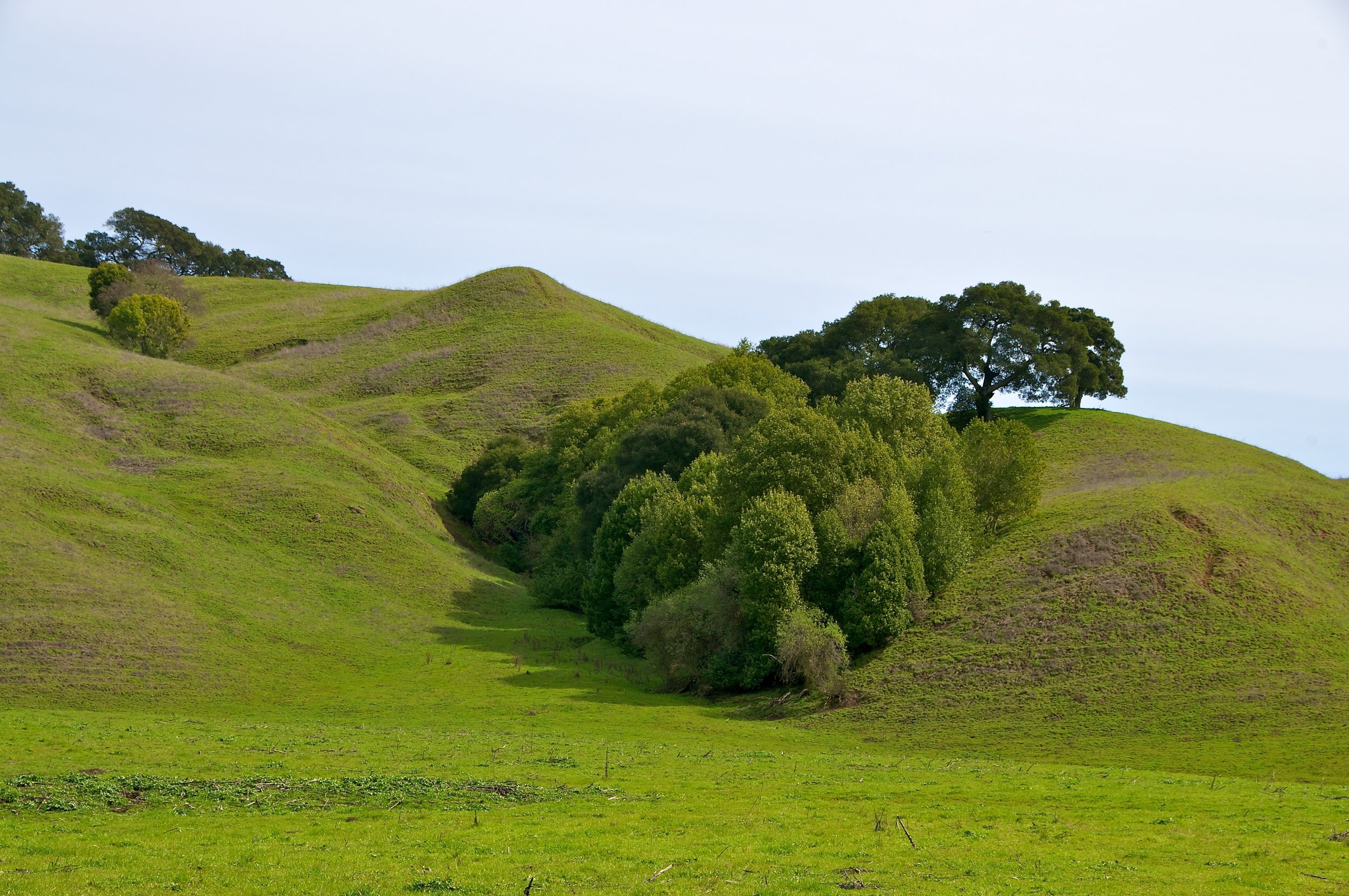
Rim Trail is the giant, mostly fire road type trail around the Lafayette Reservoir. The hills are quite steep, and the trails can be very slippery when wet. Park on the side streets and walk to the reservoir to avoid the parking fees.
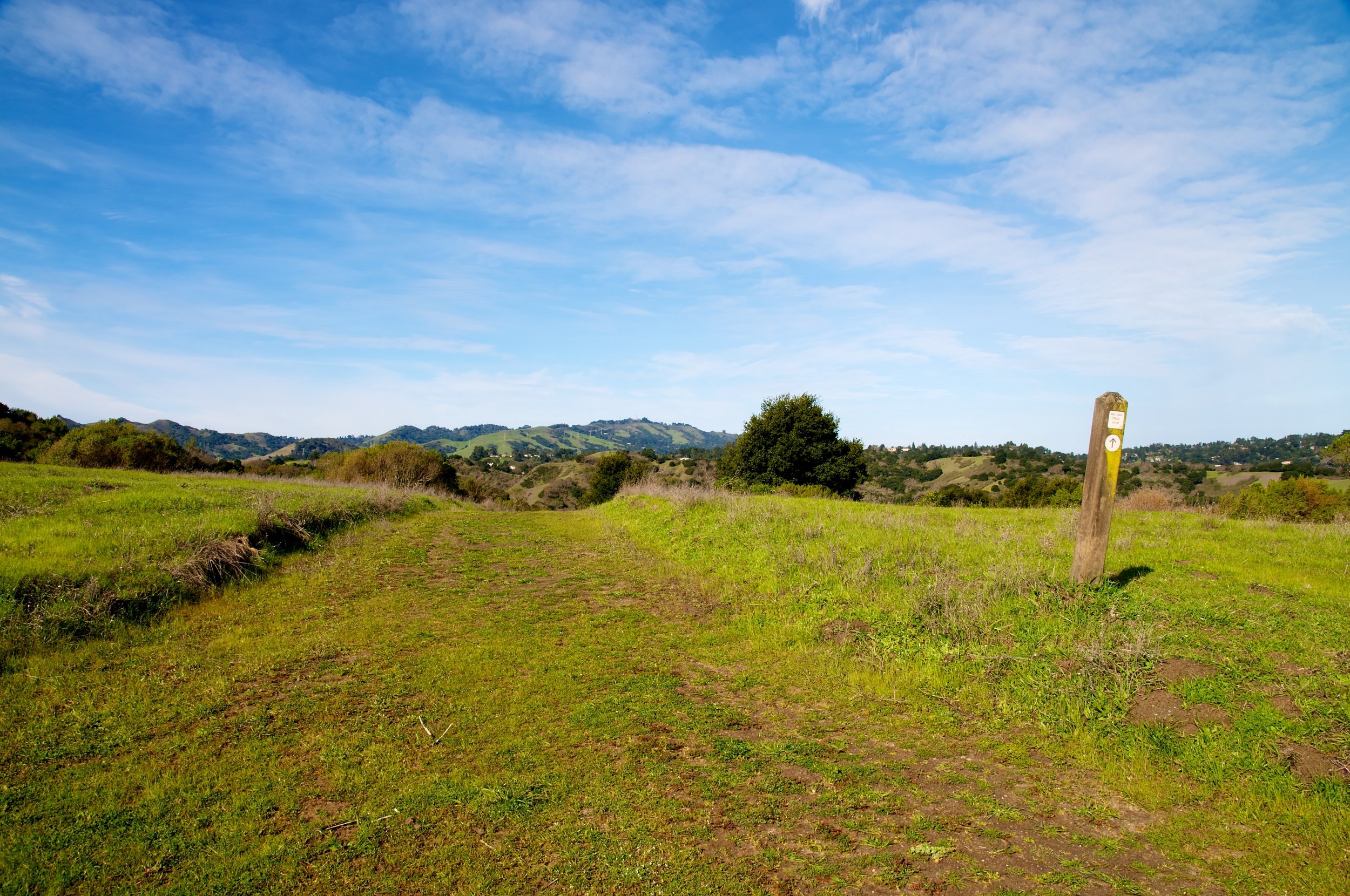
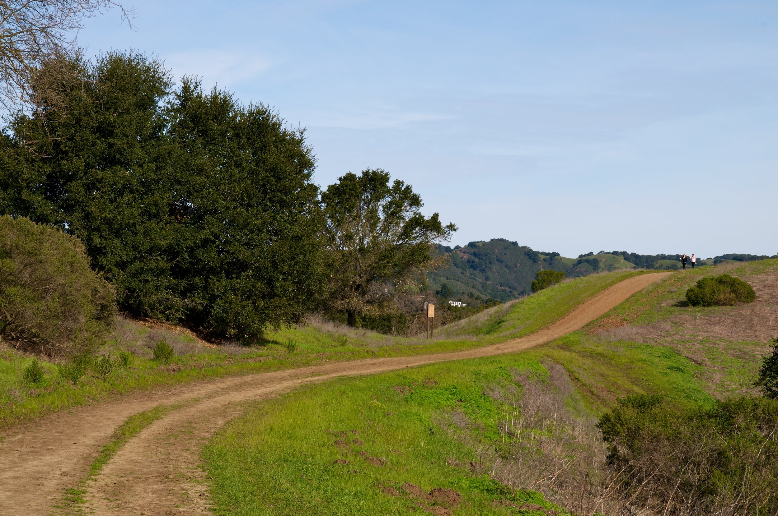
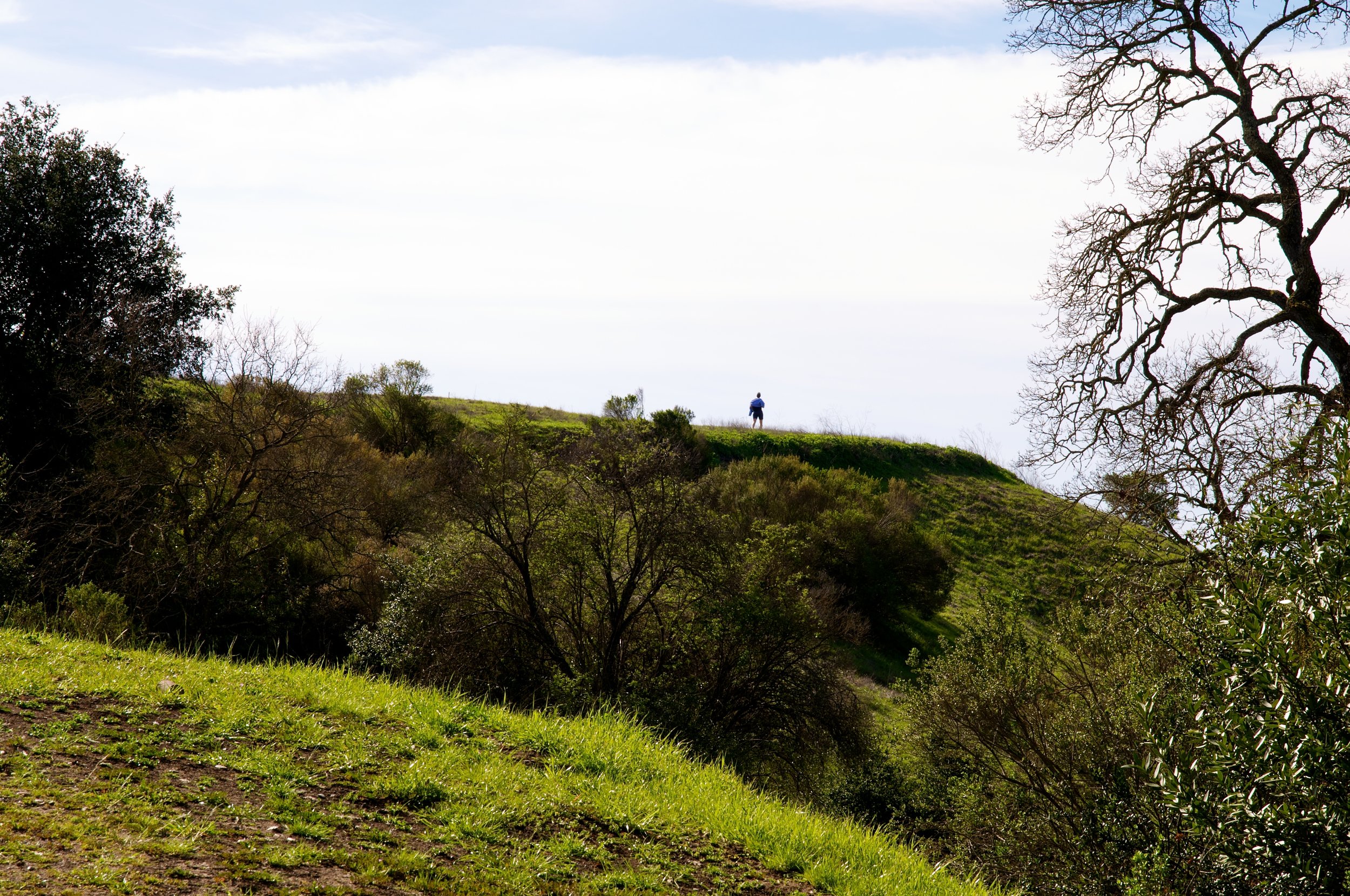
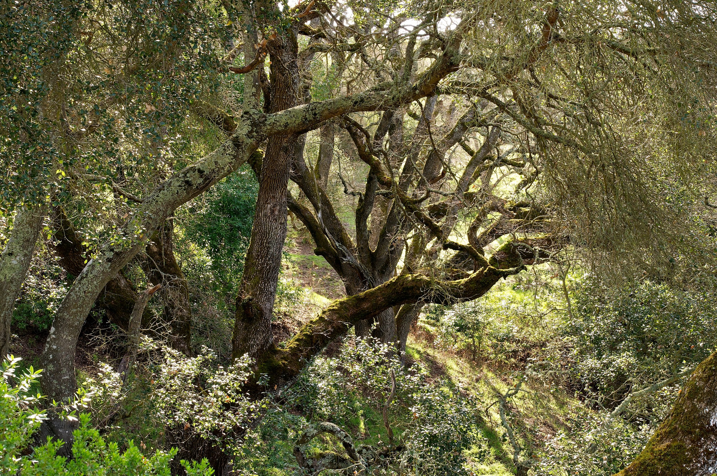
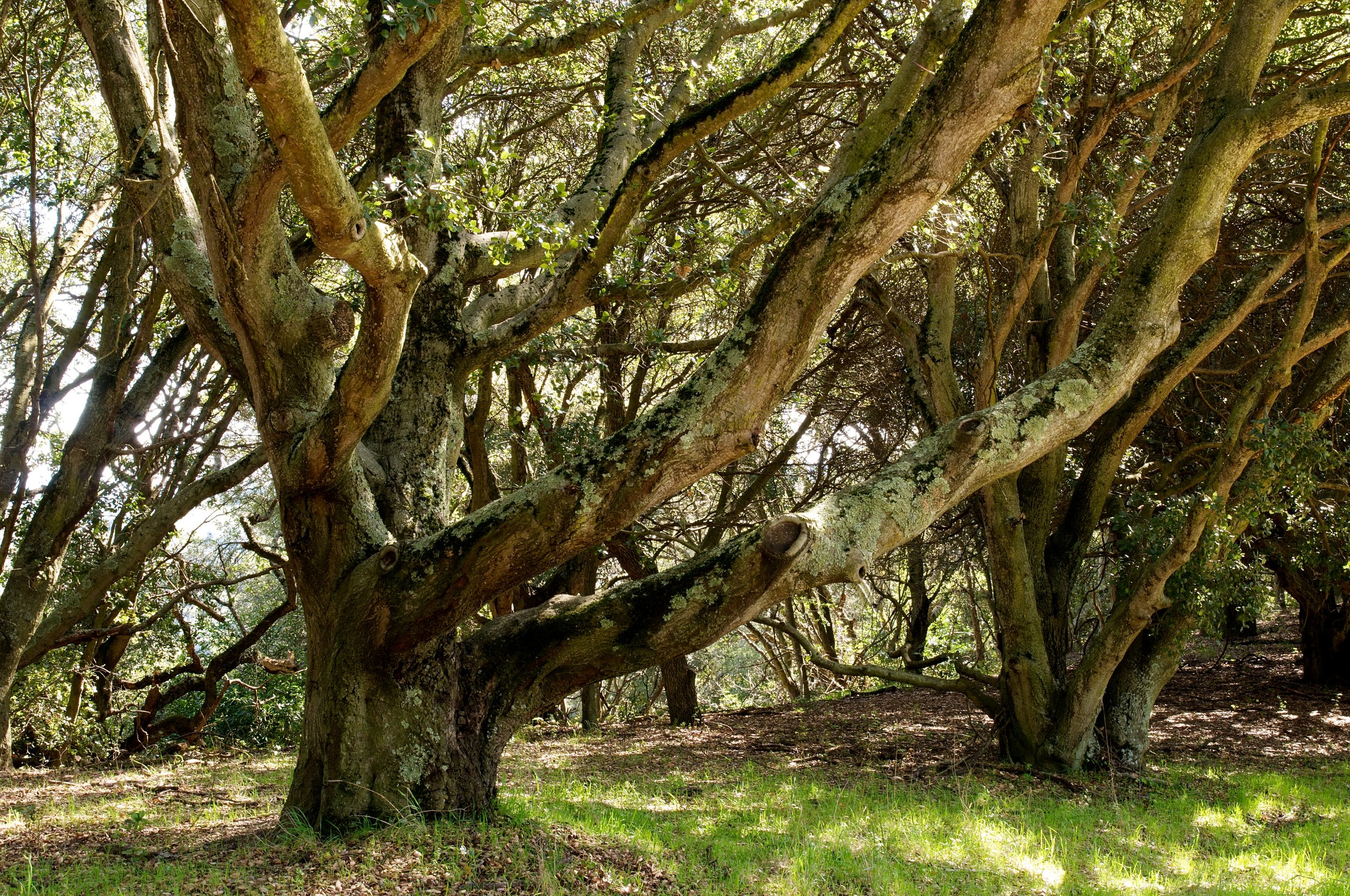
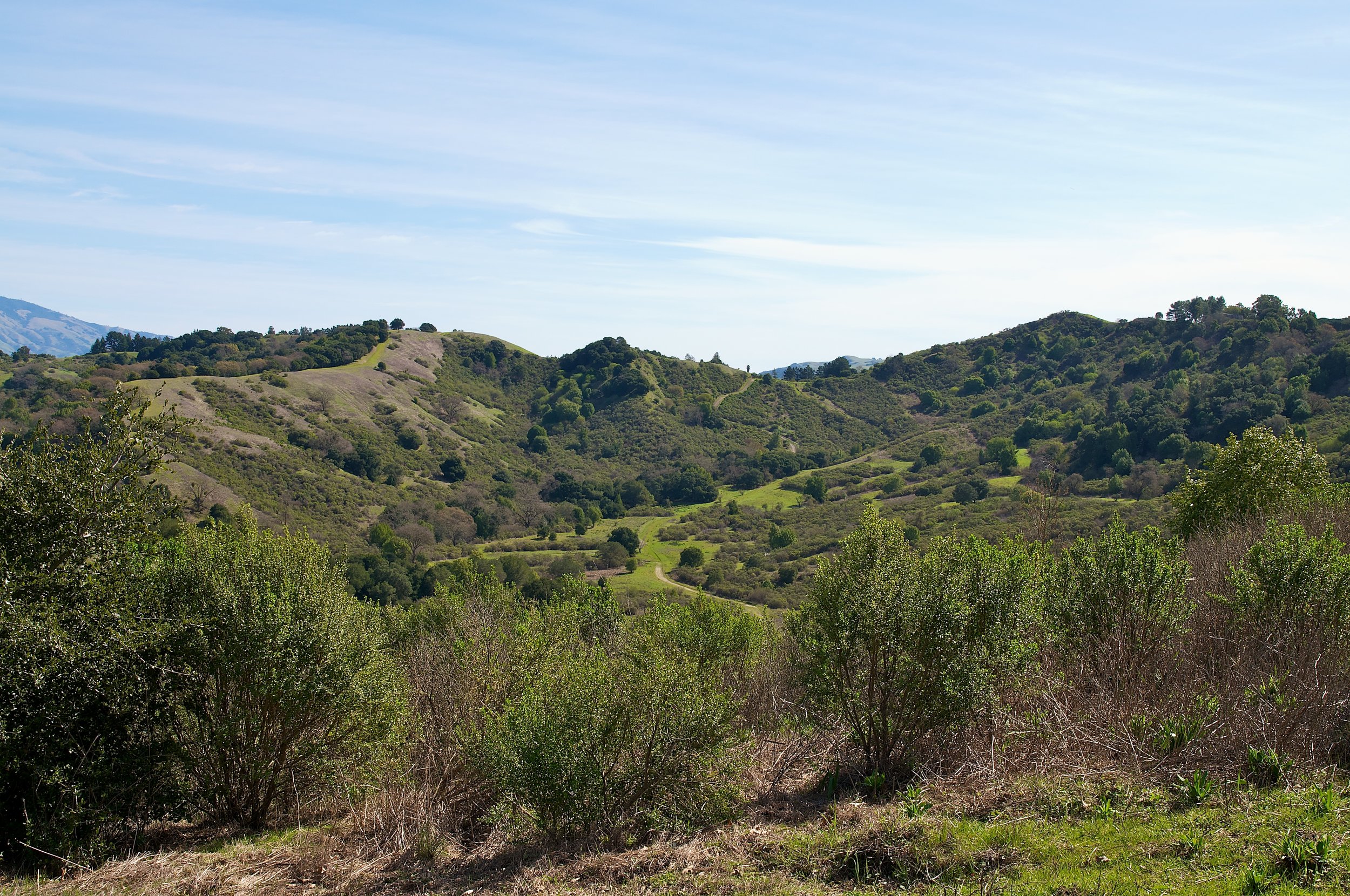
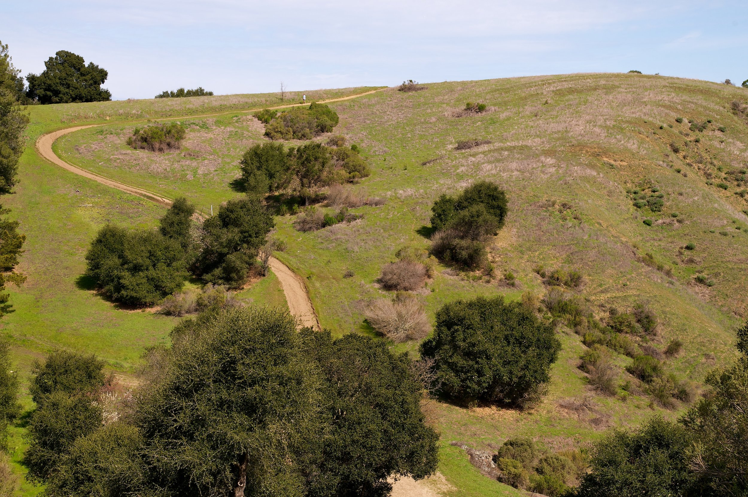
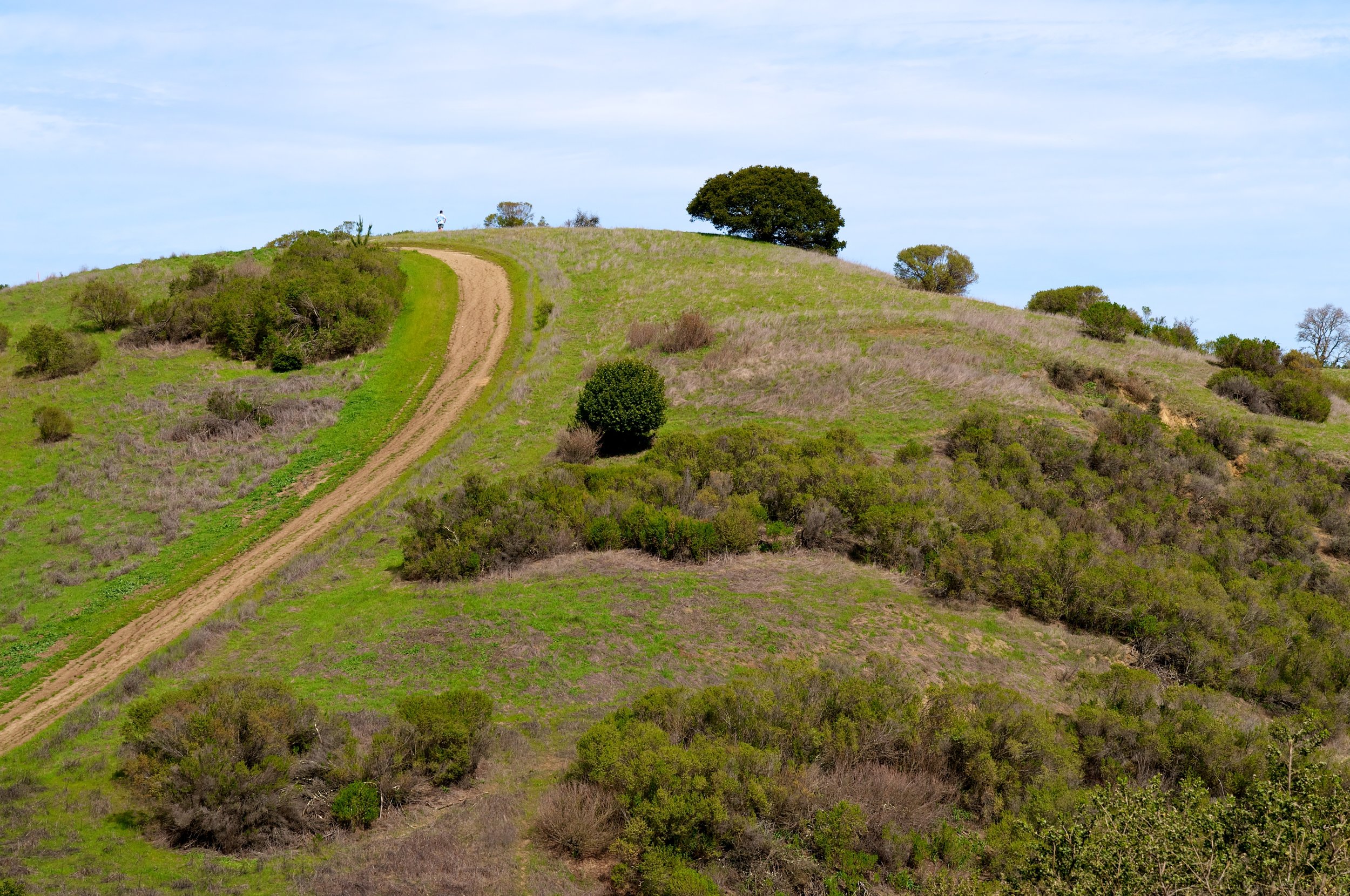
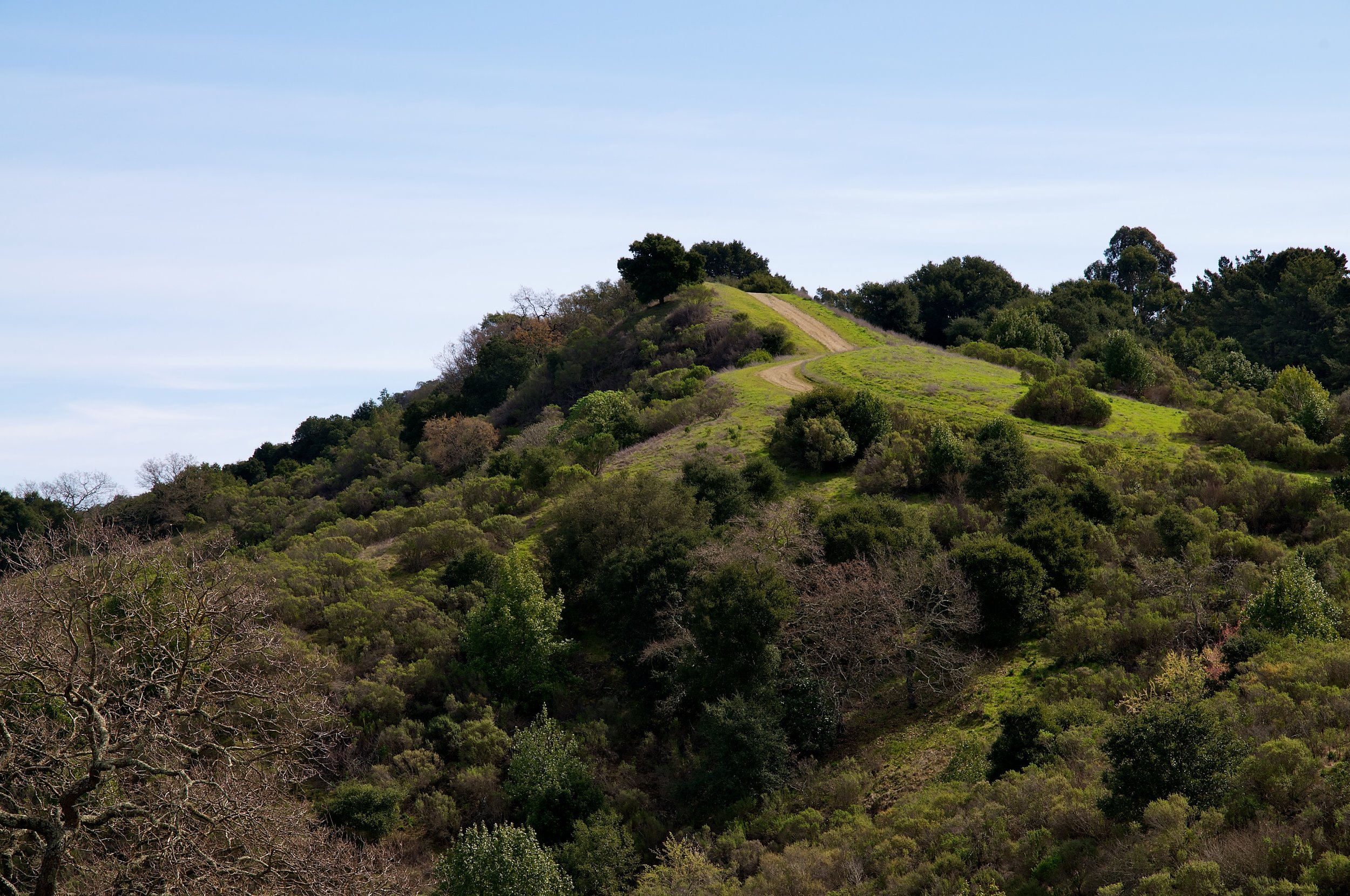
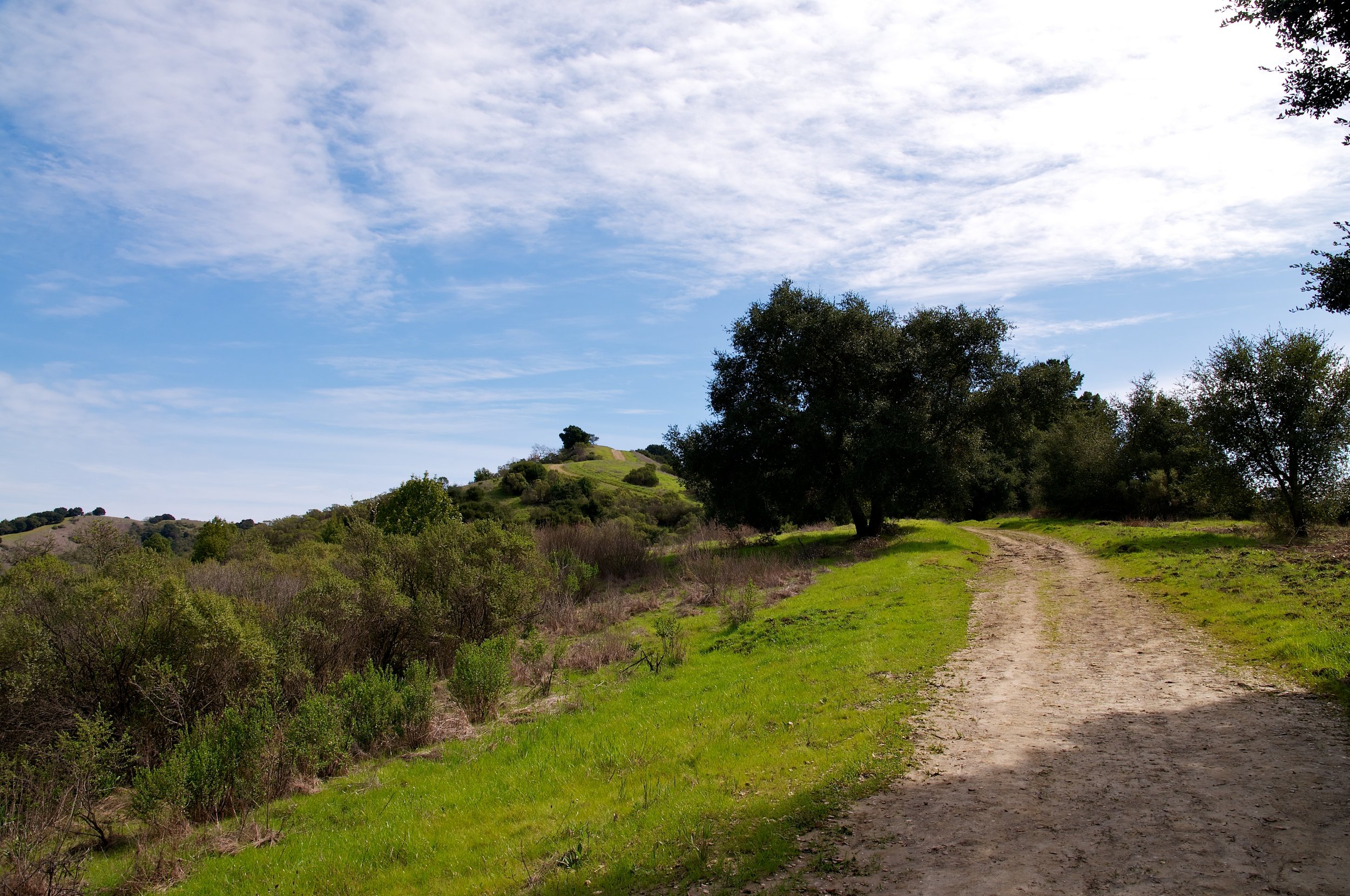
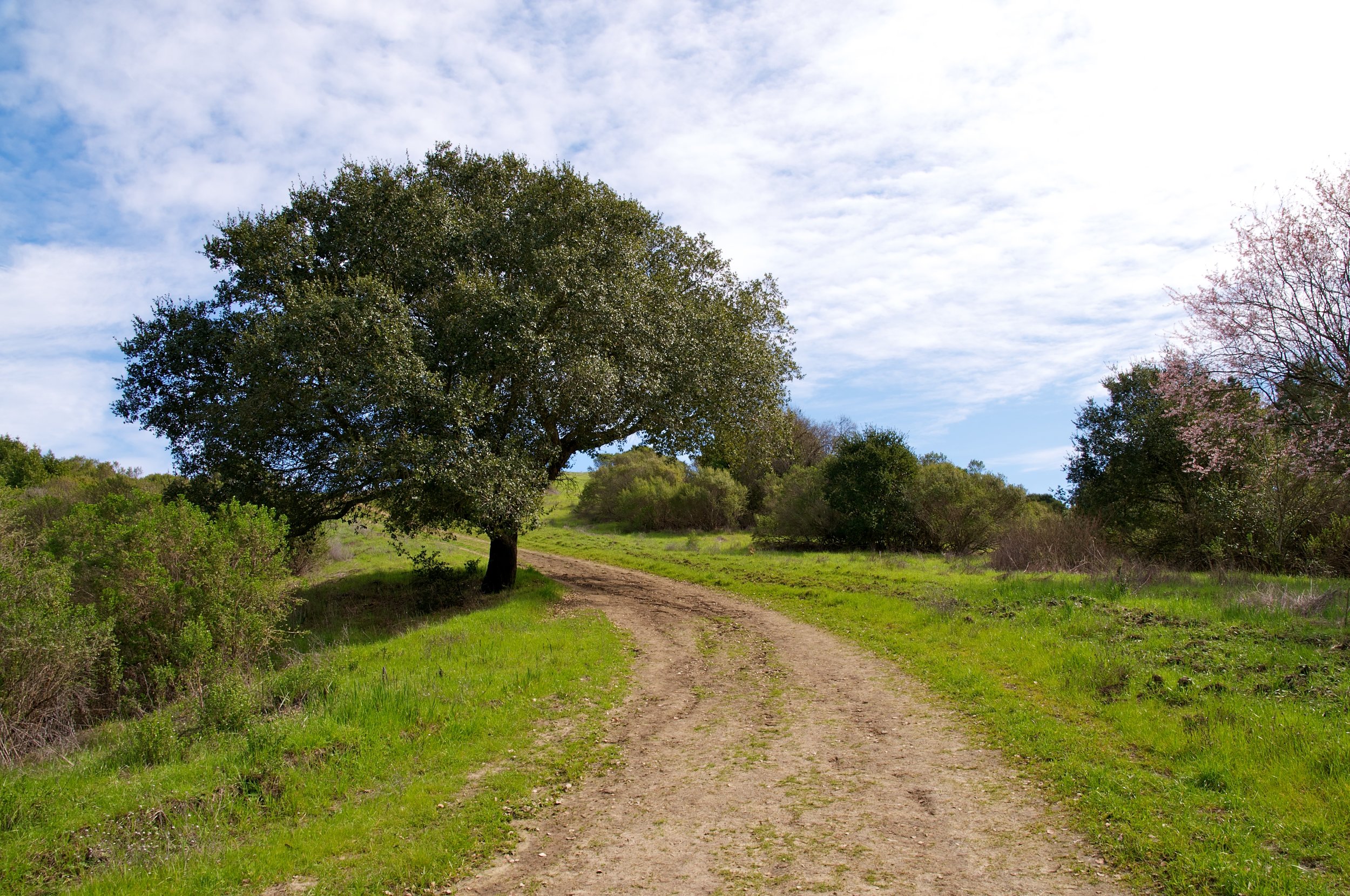
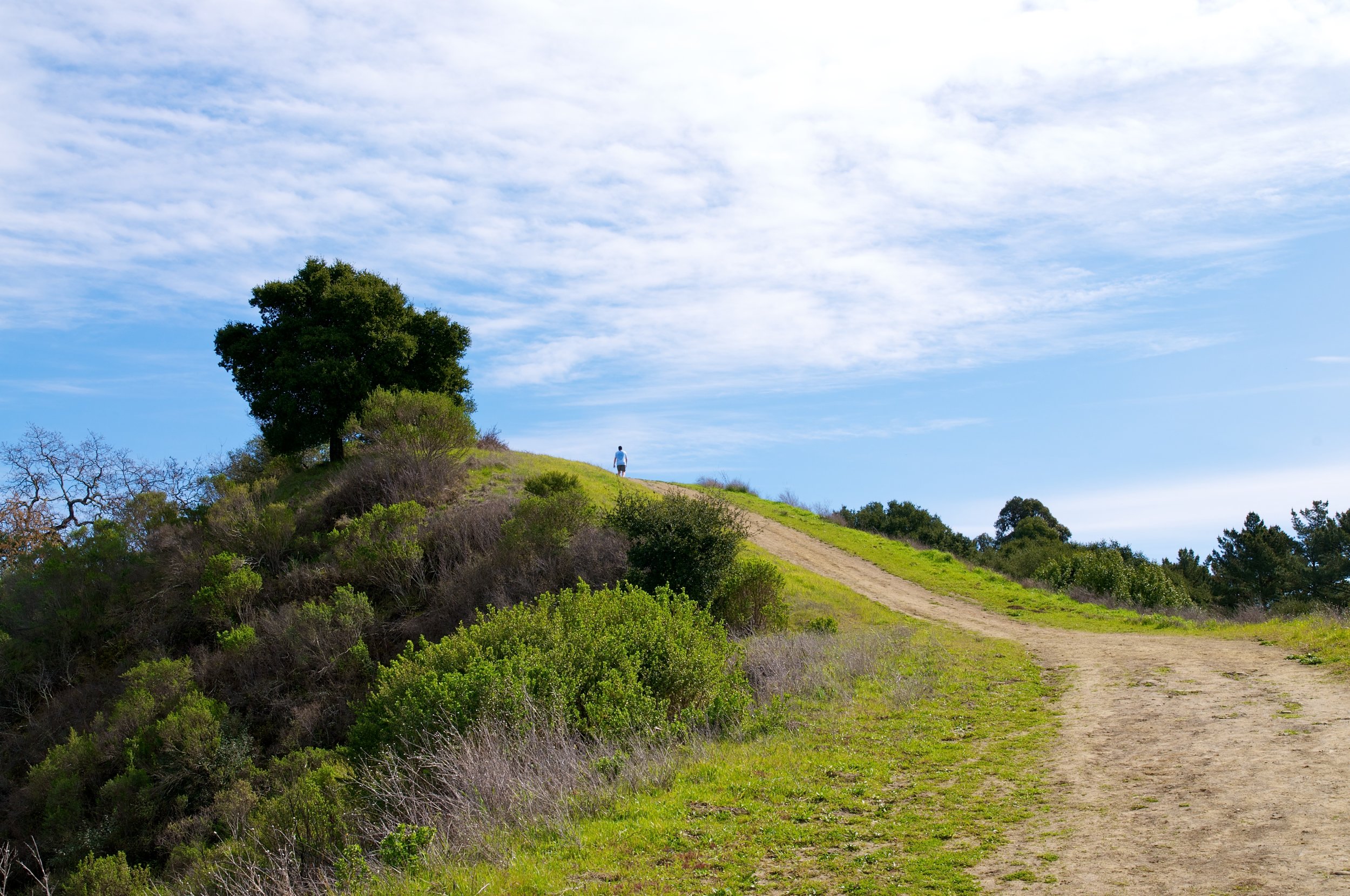
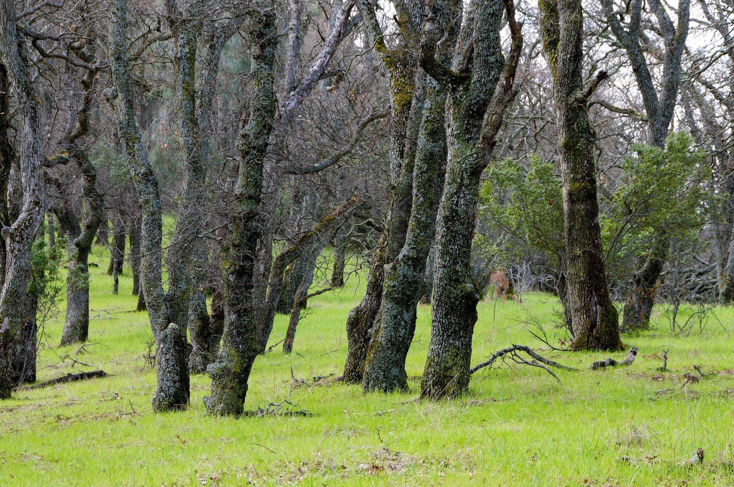
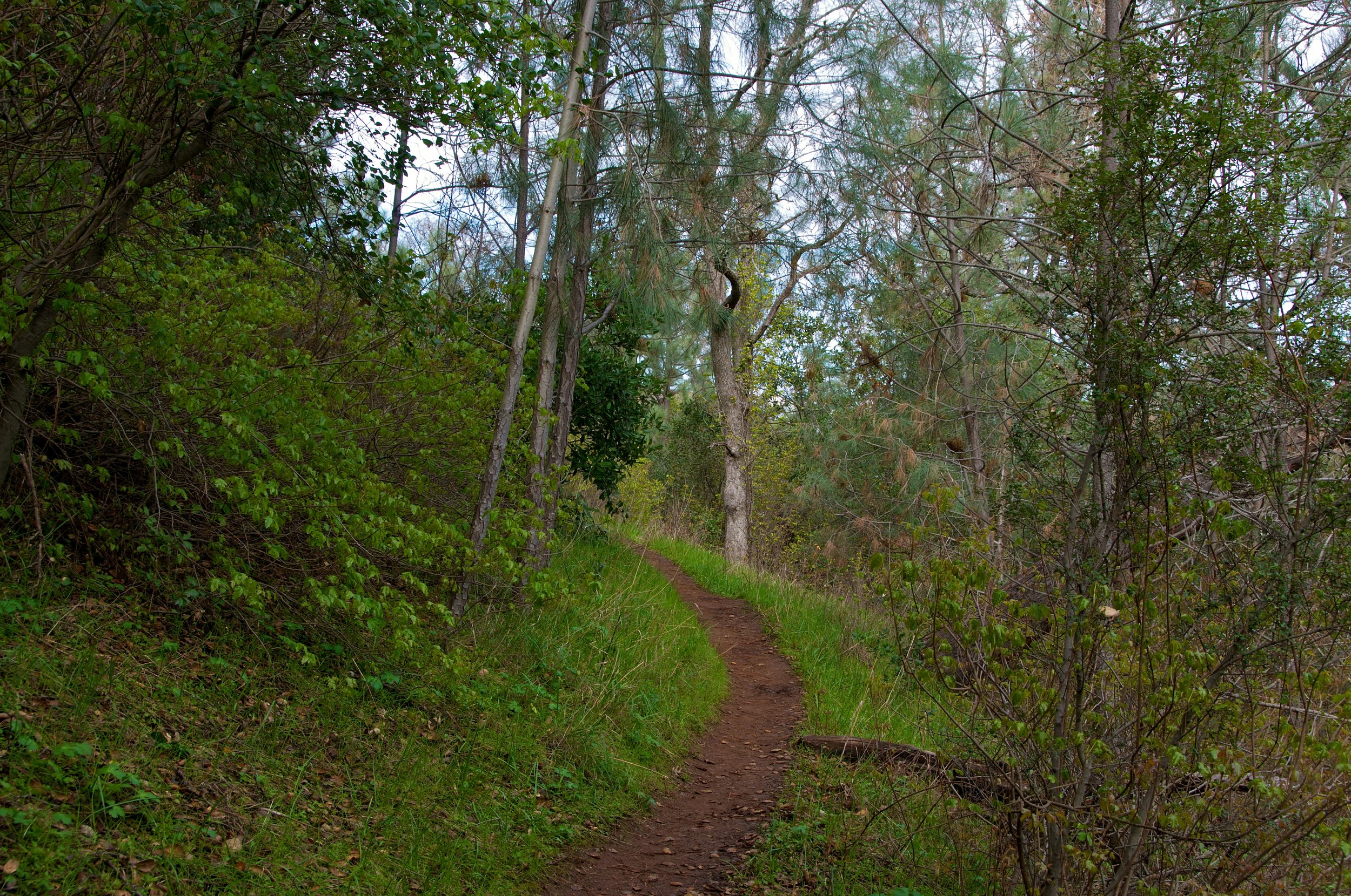
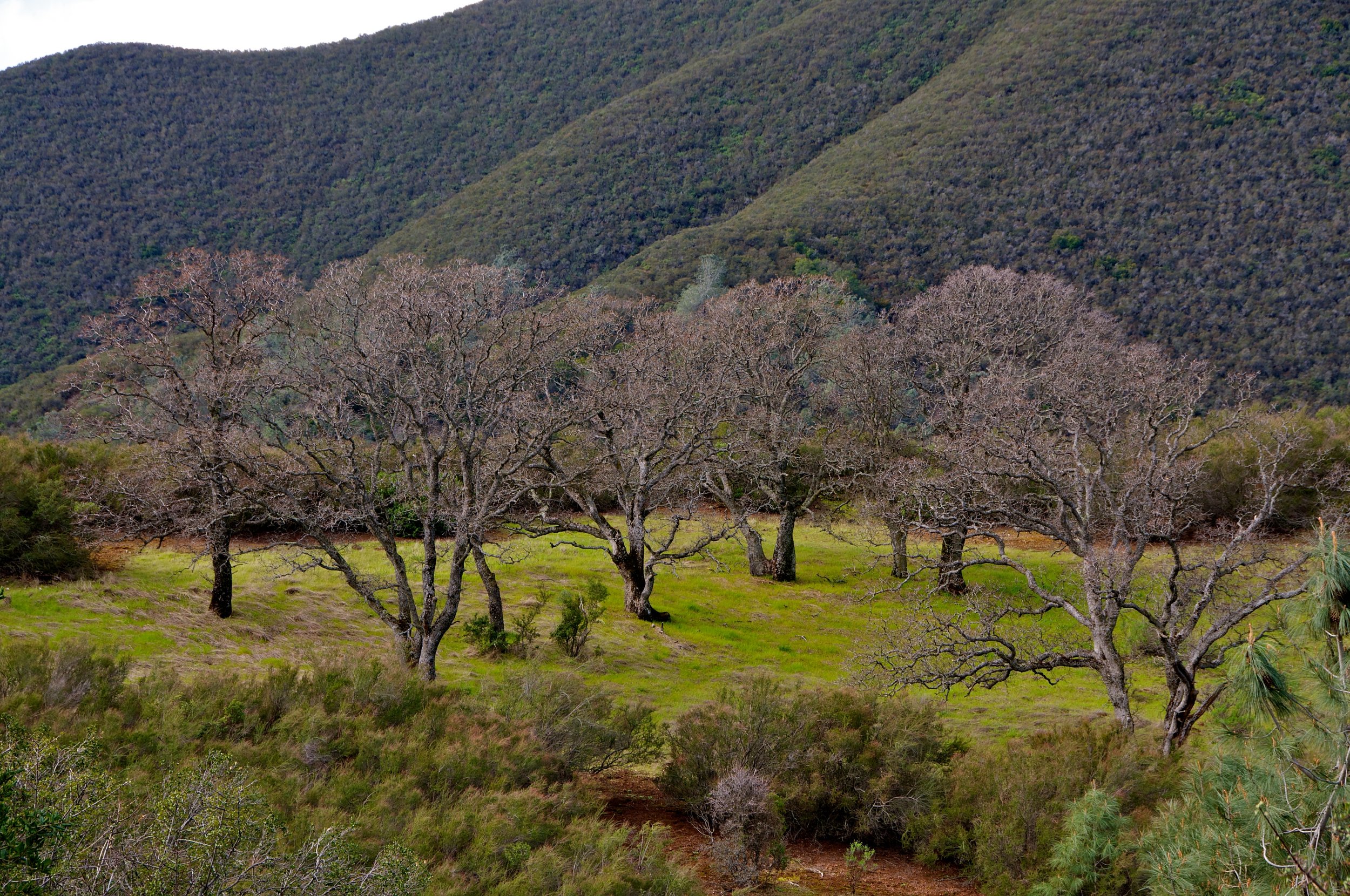
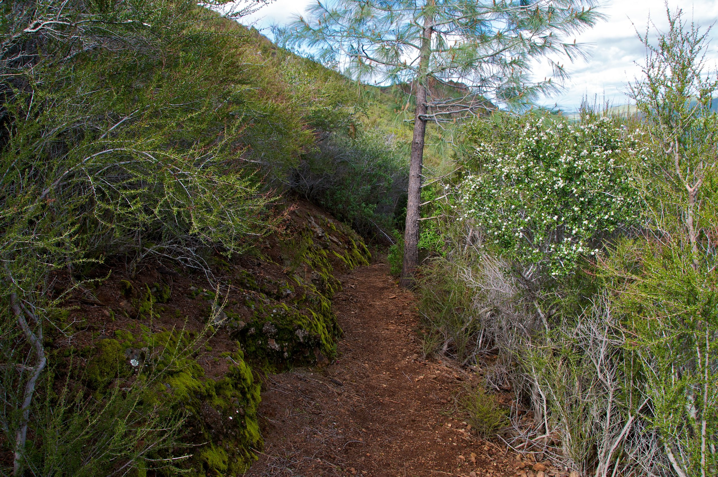
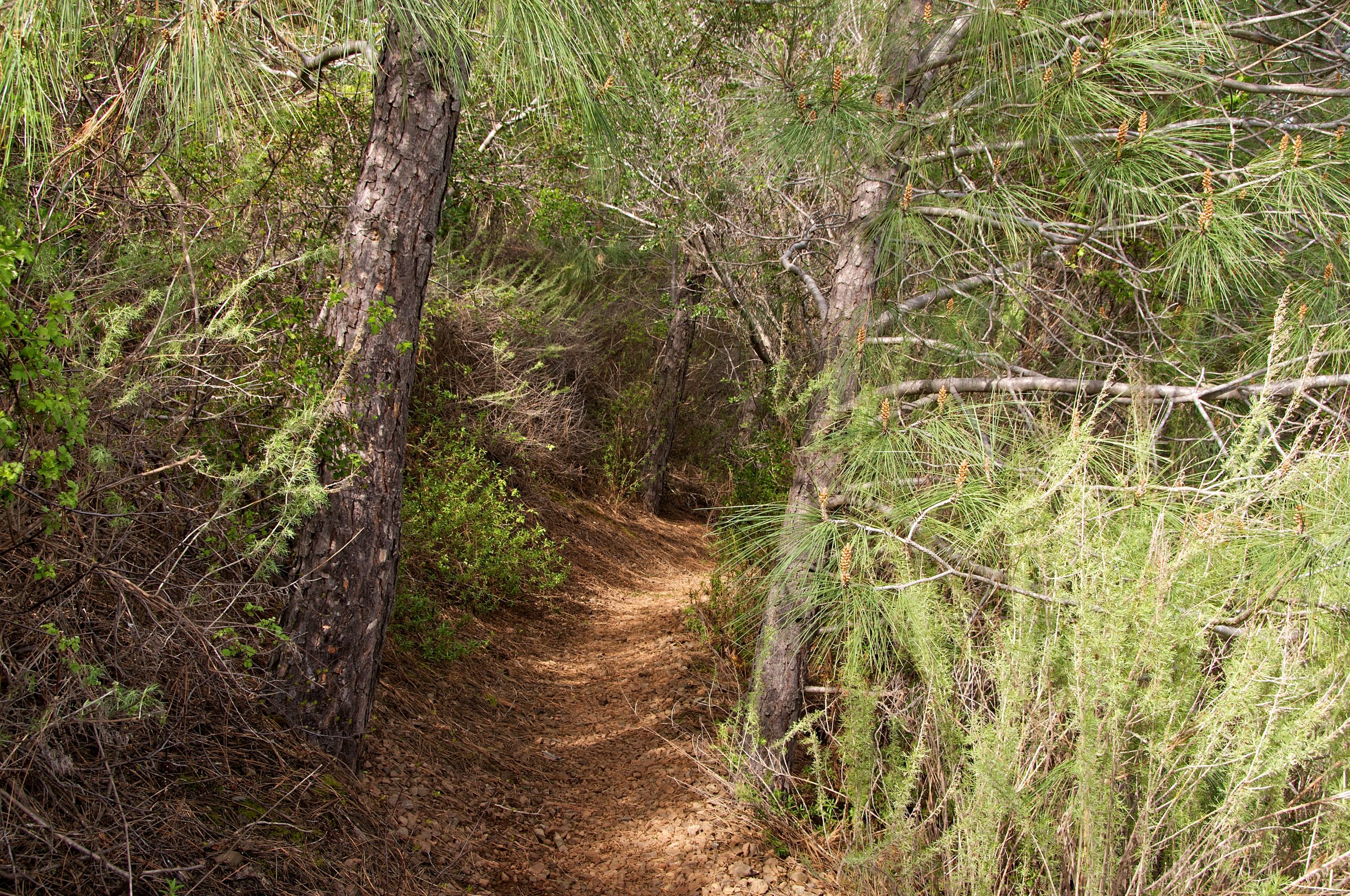
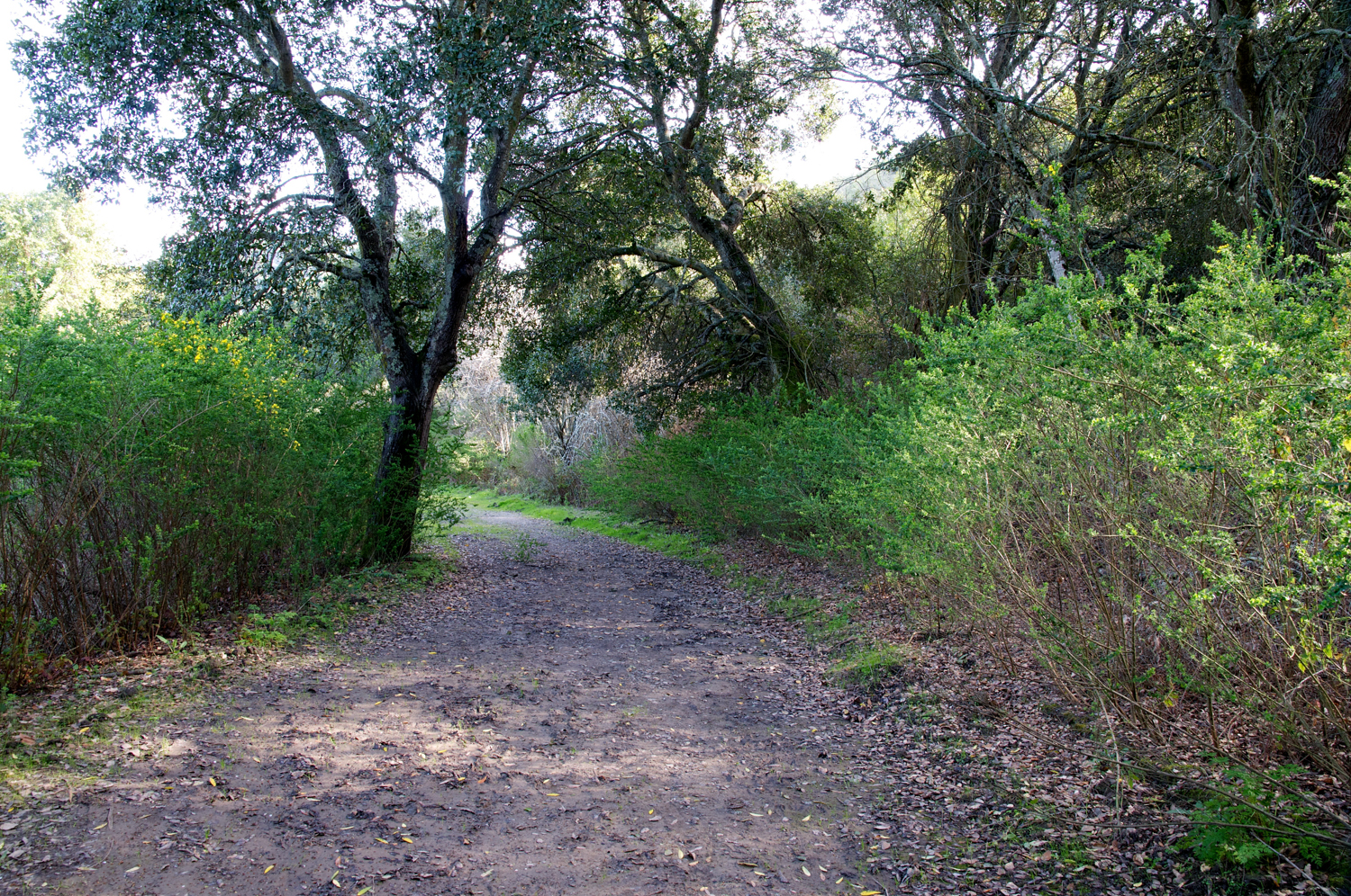
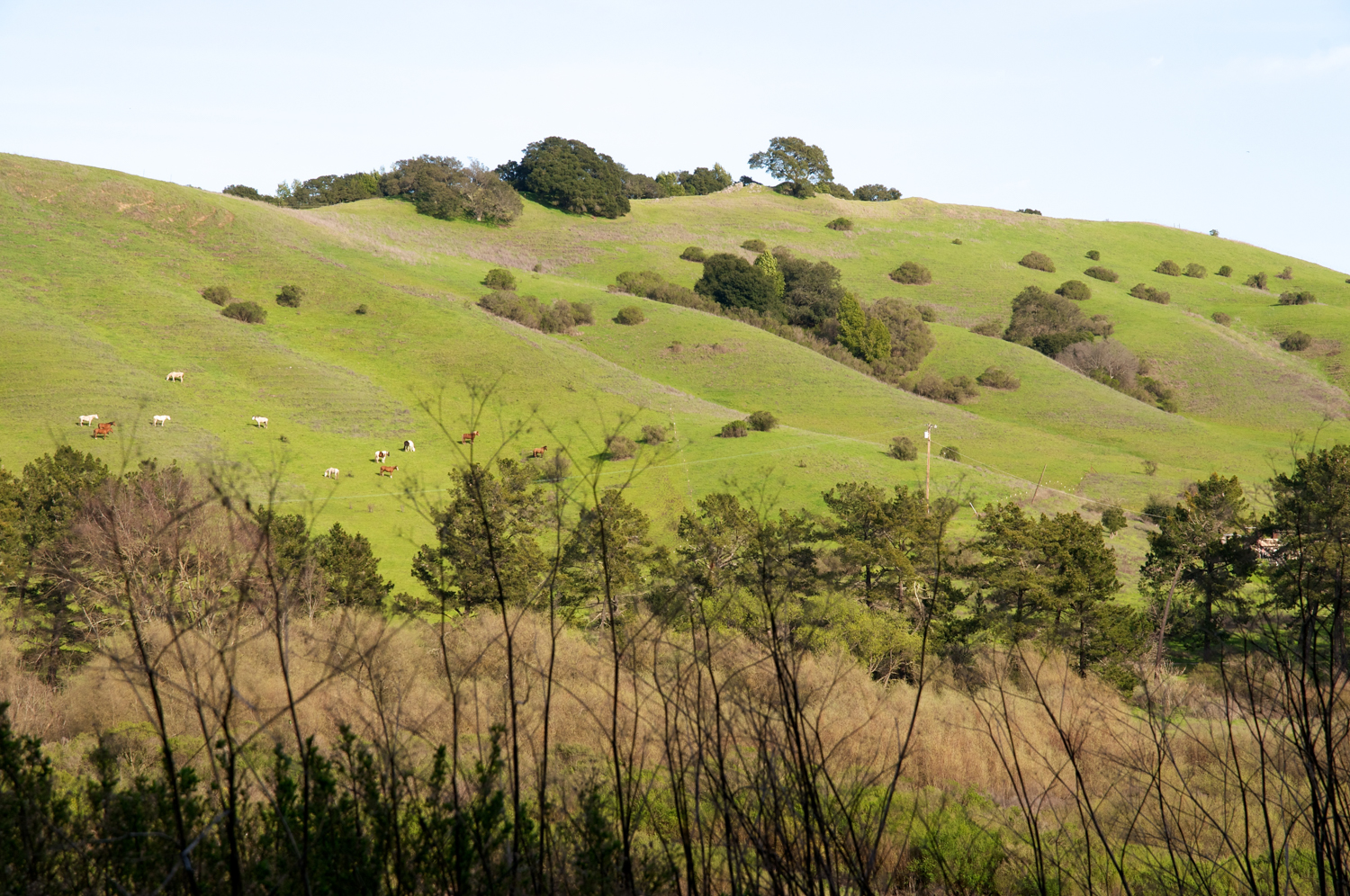
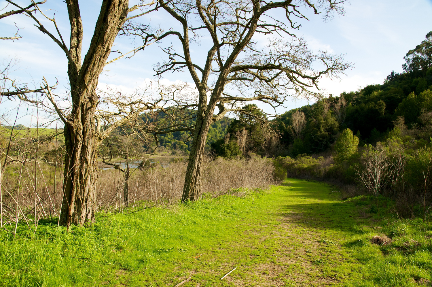
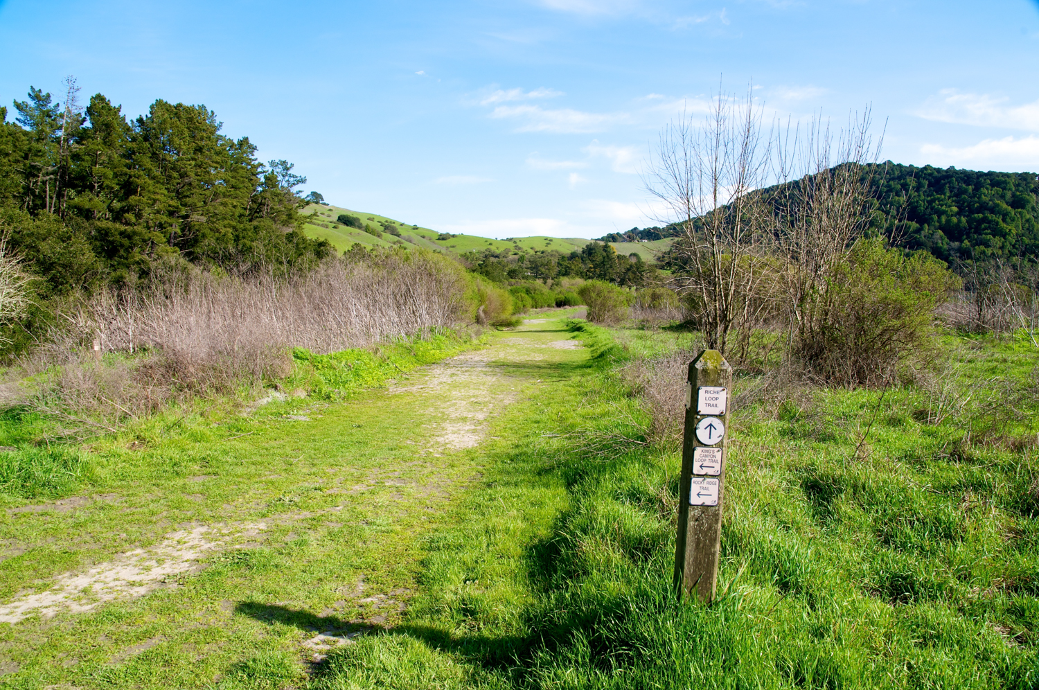
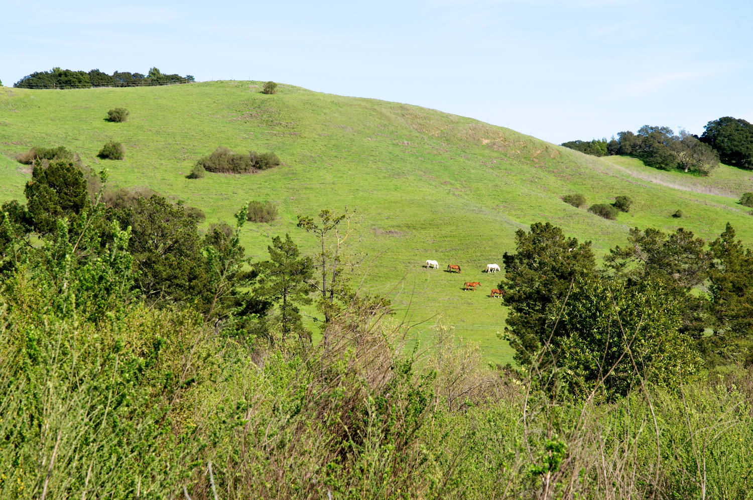
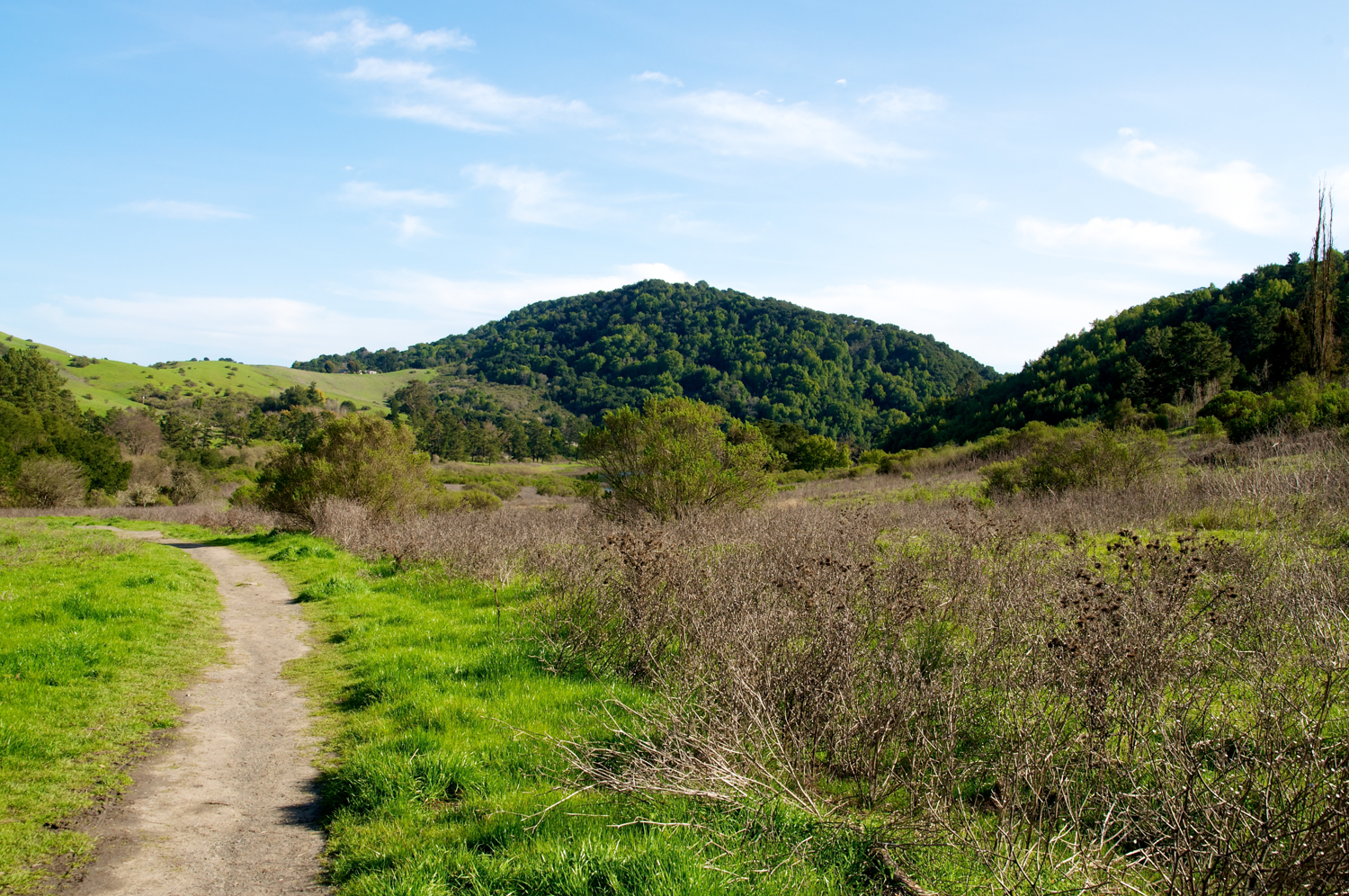
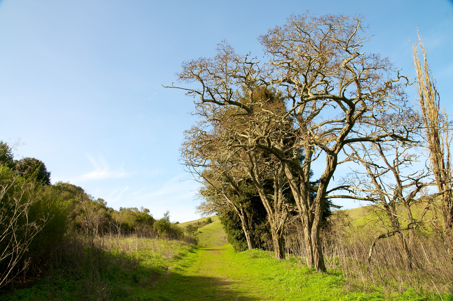
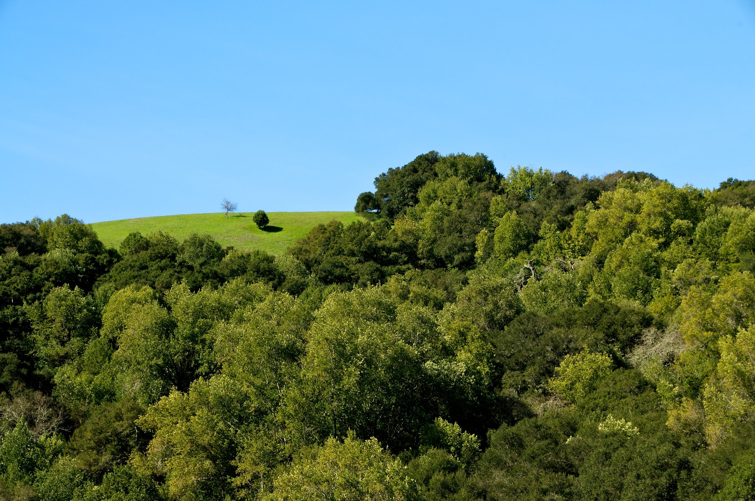
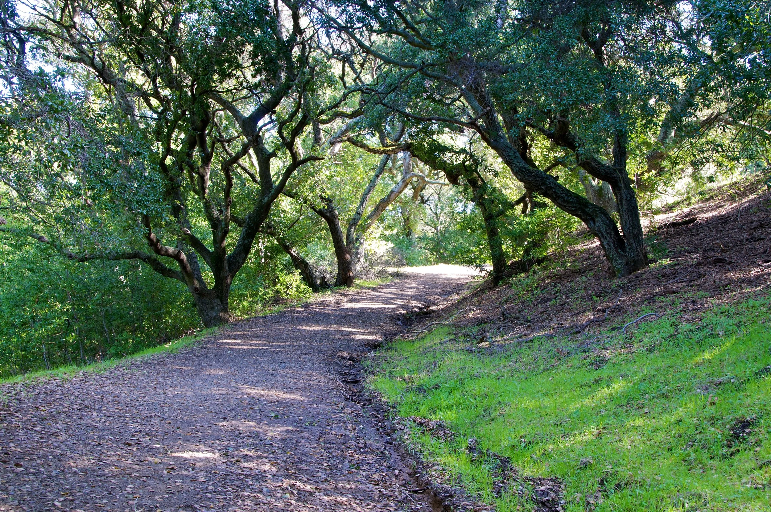
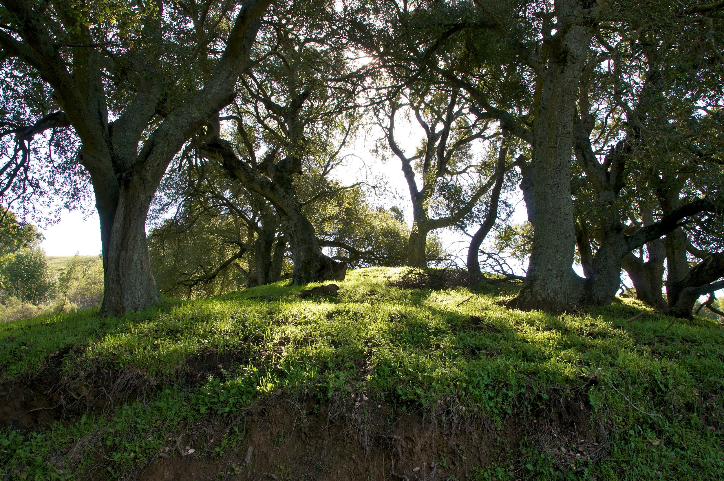
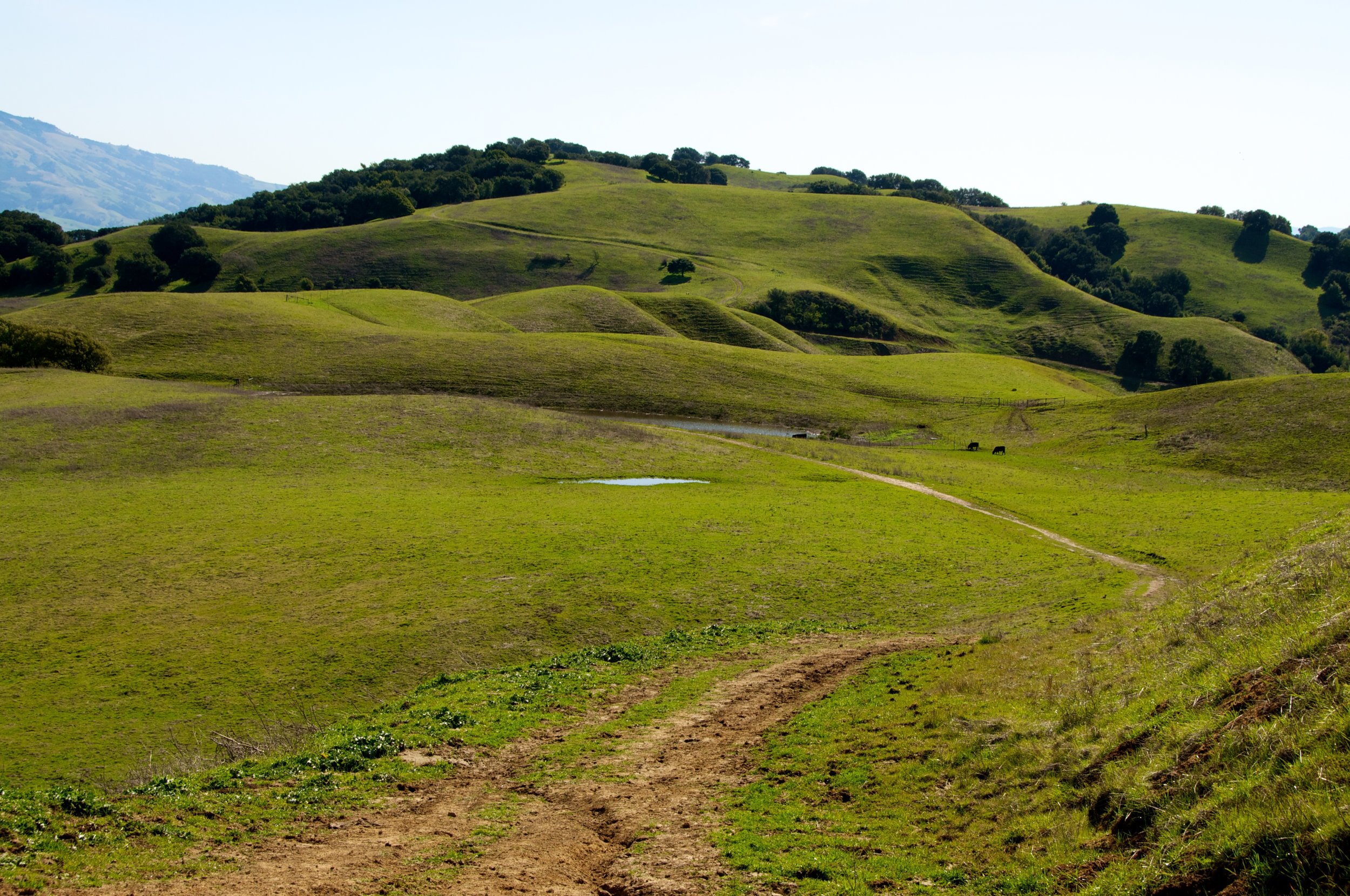
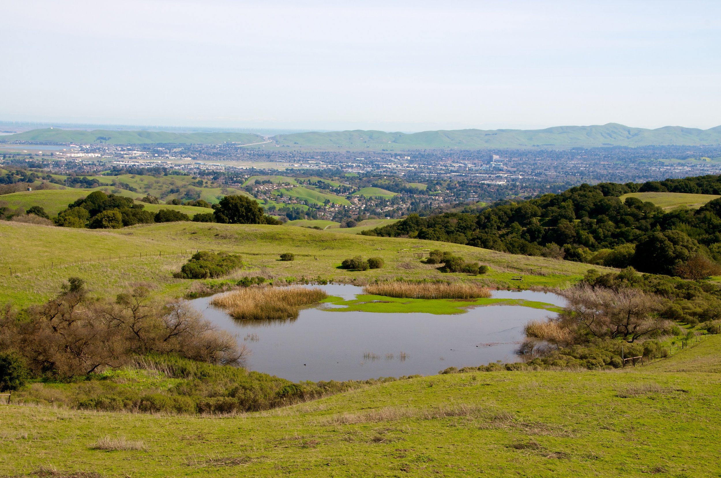
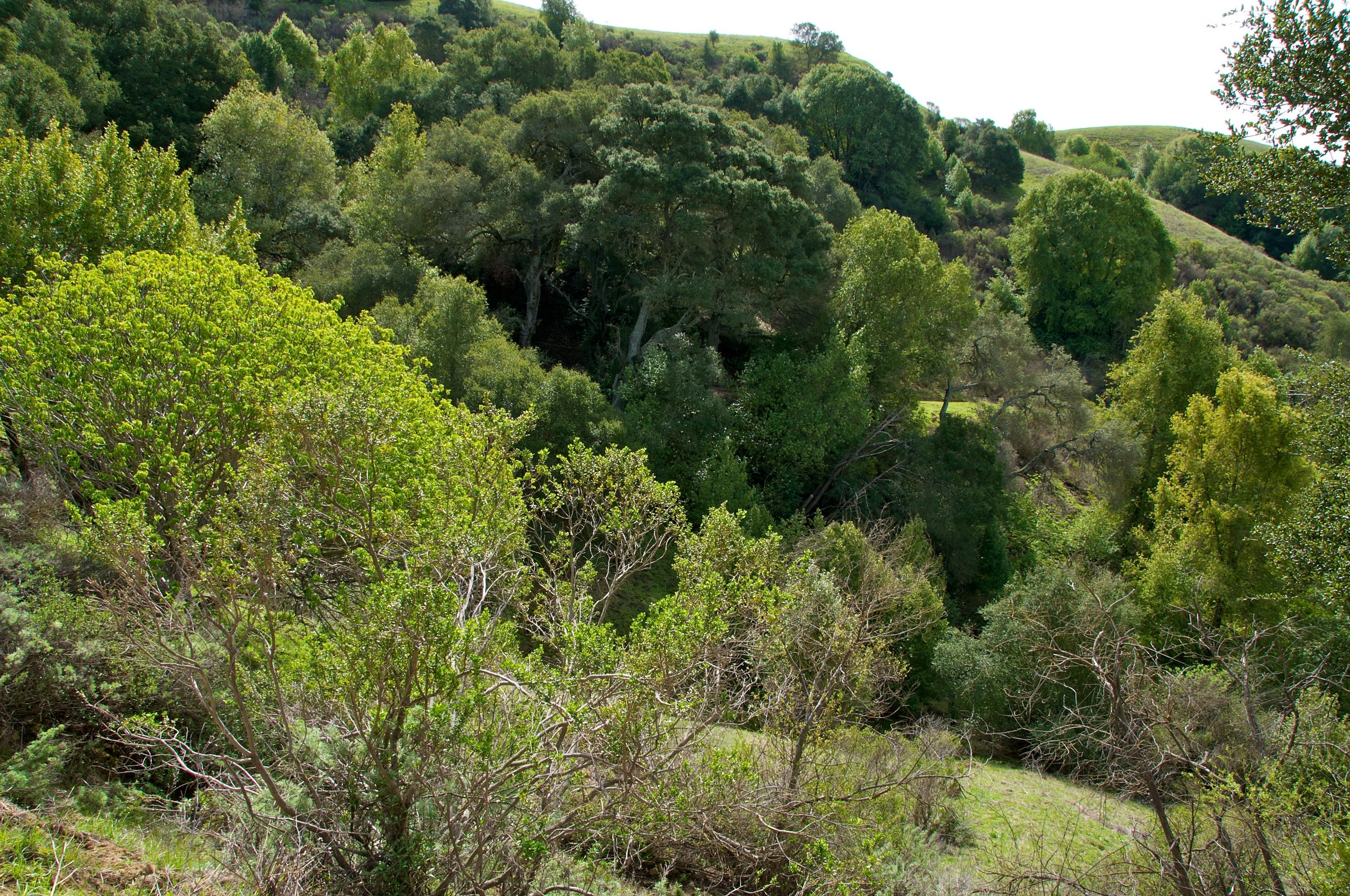
An easy hike in a friendly park. Briones is a popular place for day hikers and trail runners. Some wide, flat trails provide space for easy, slow moving conversations


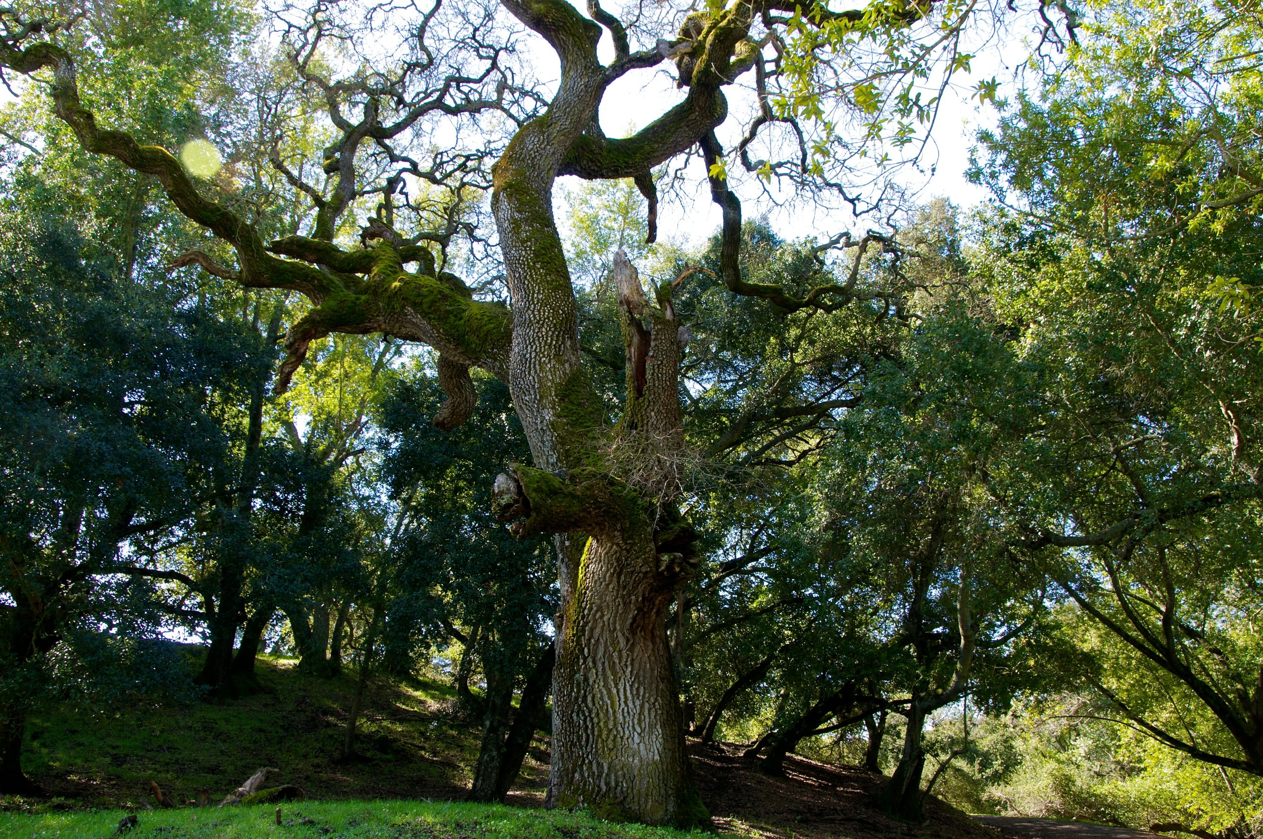
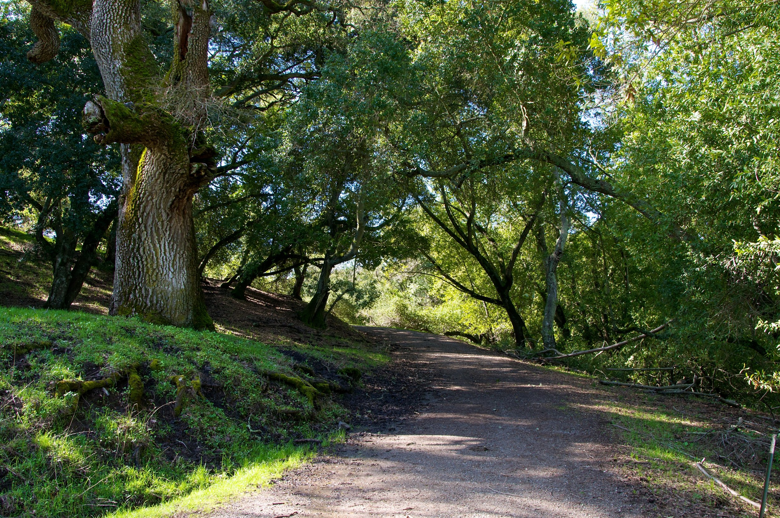
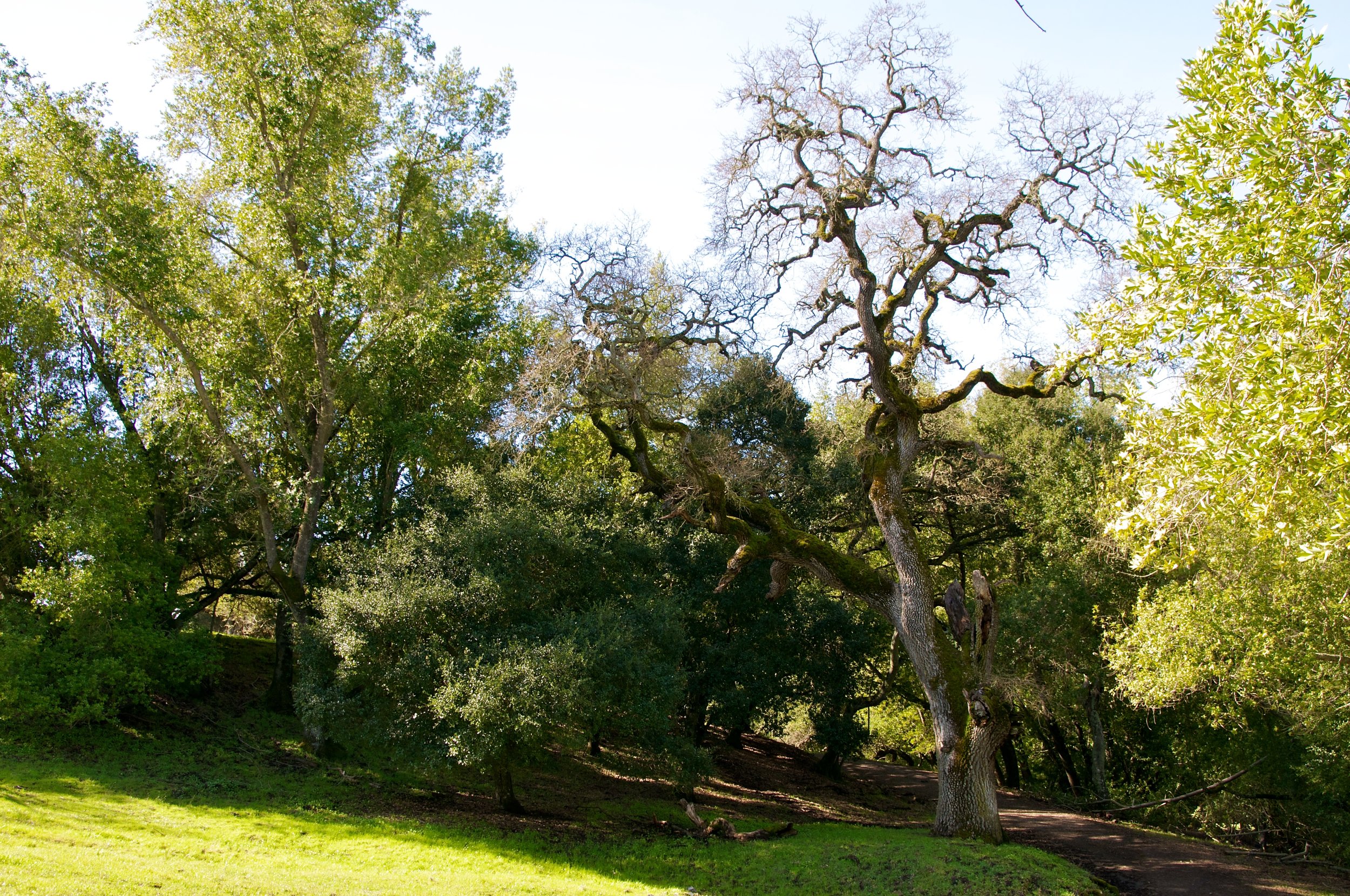


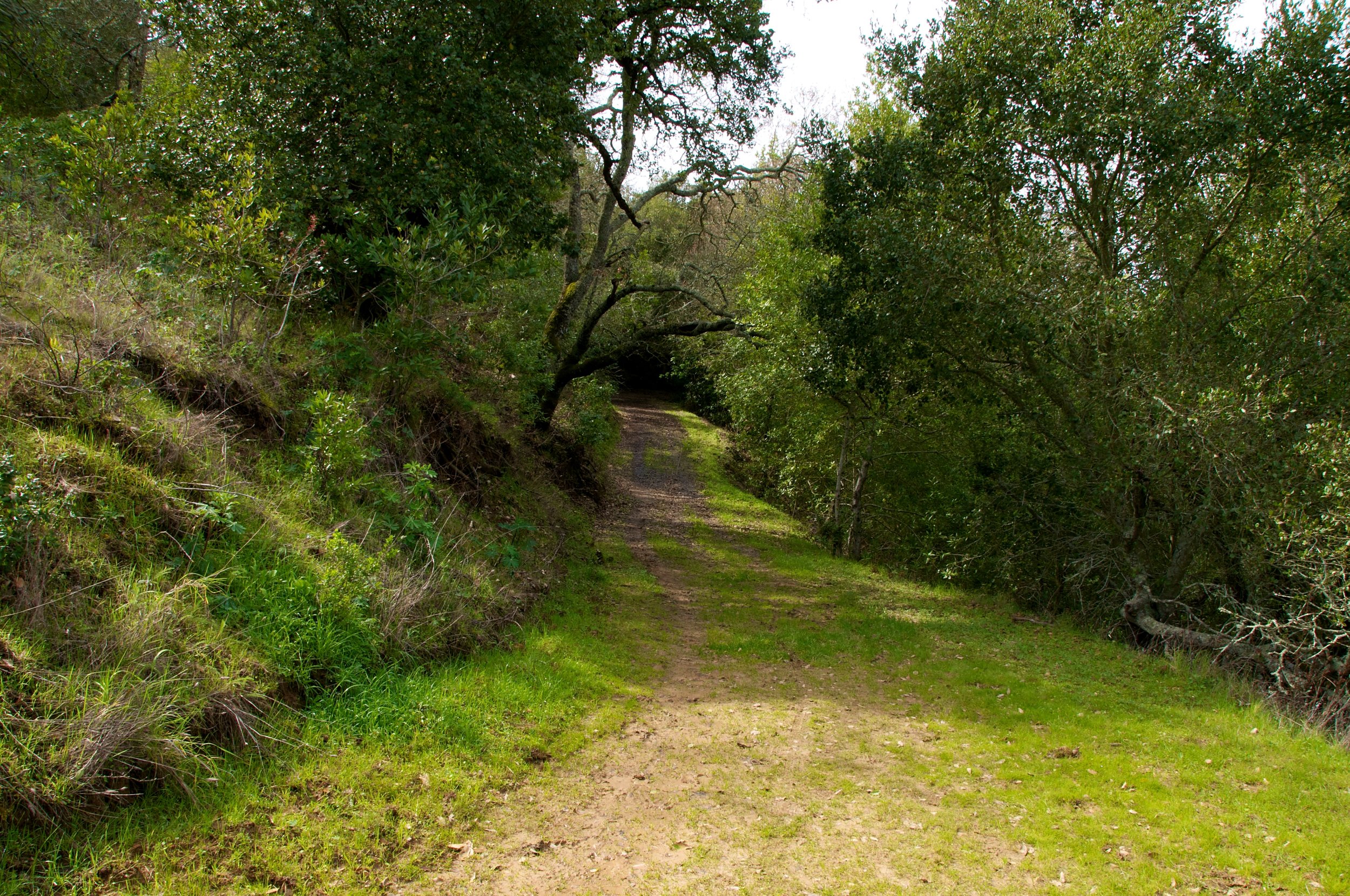


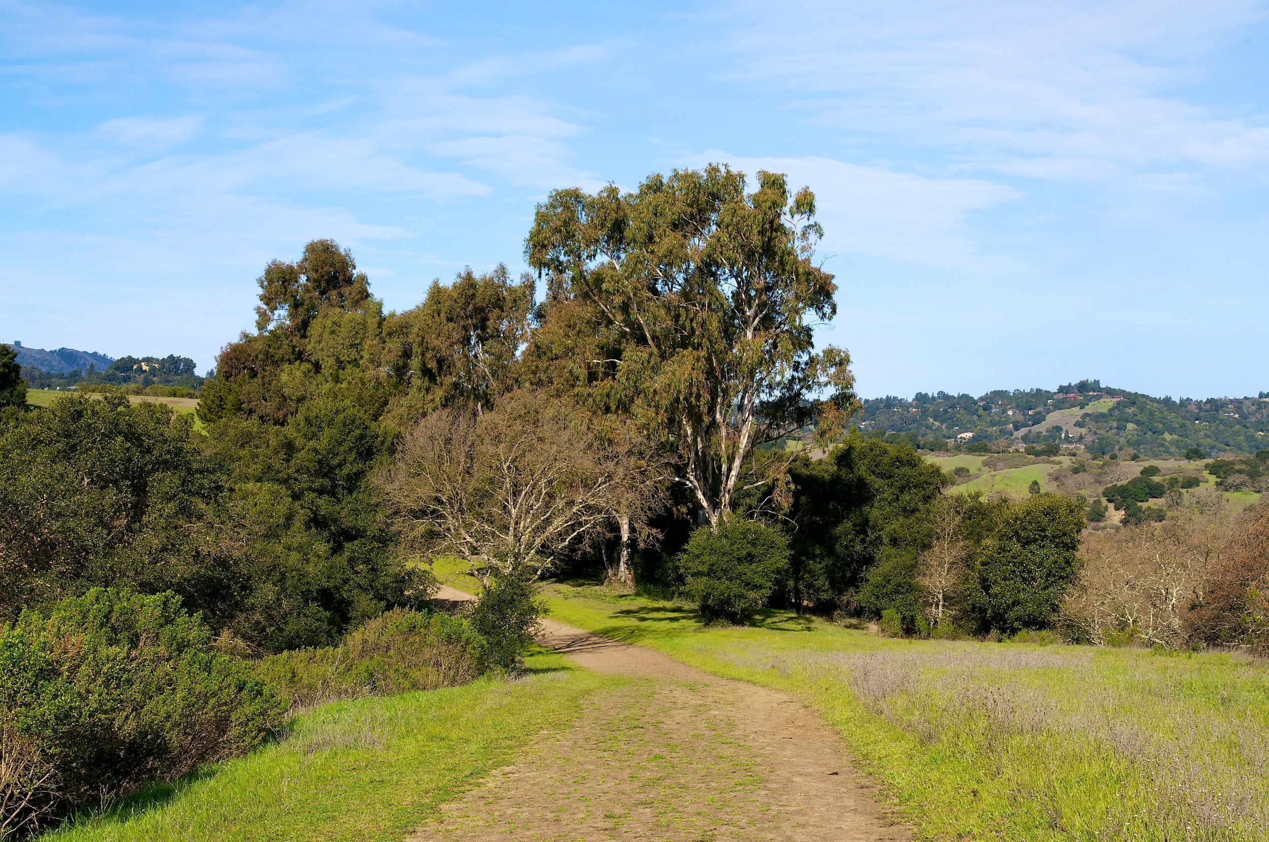
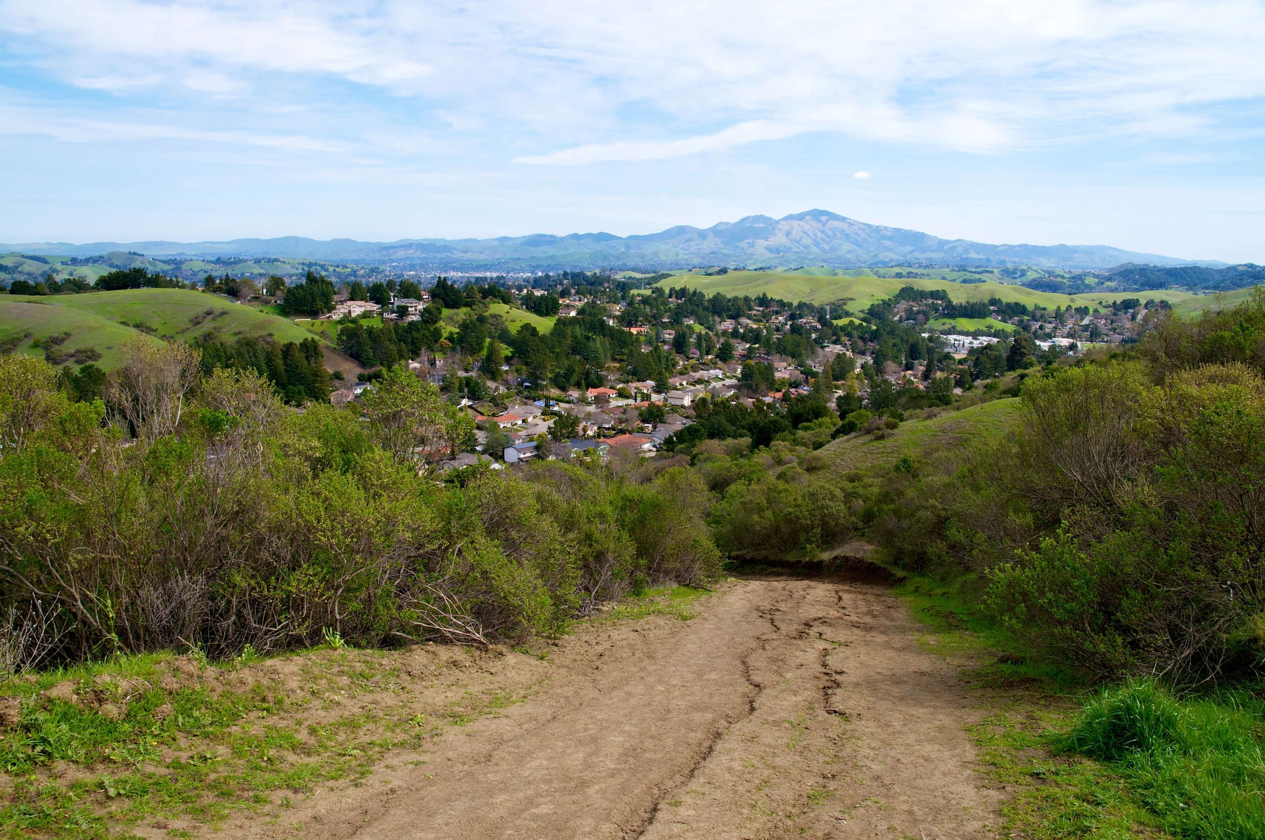
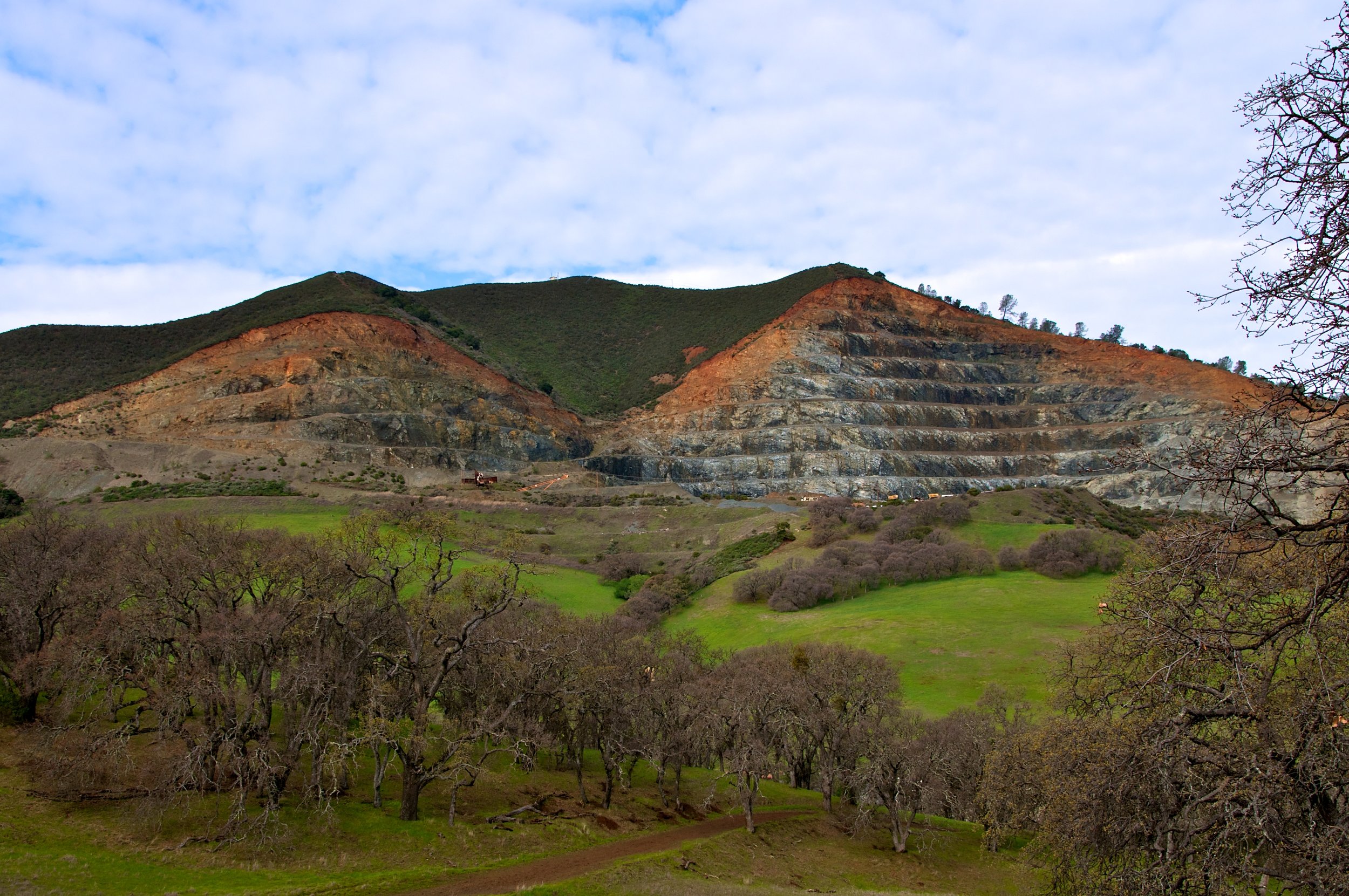
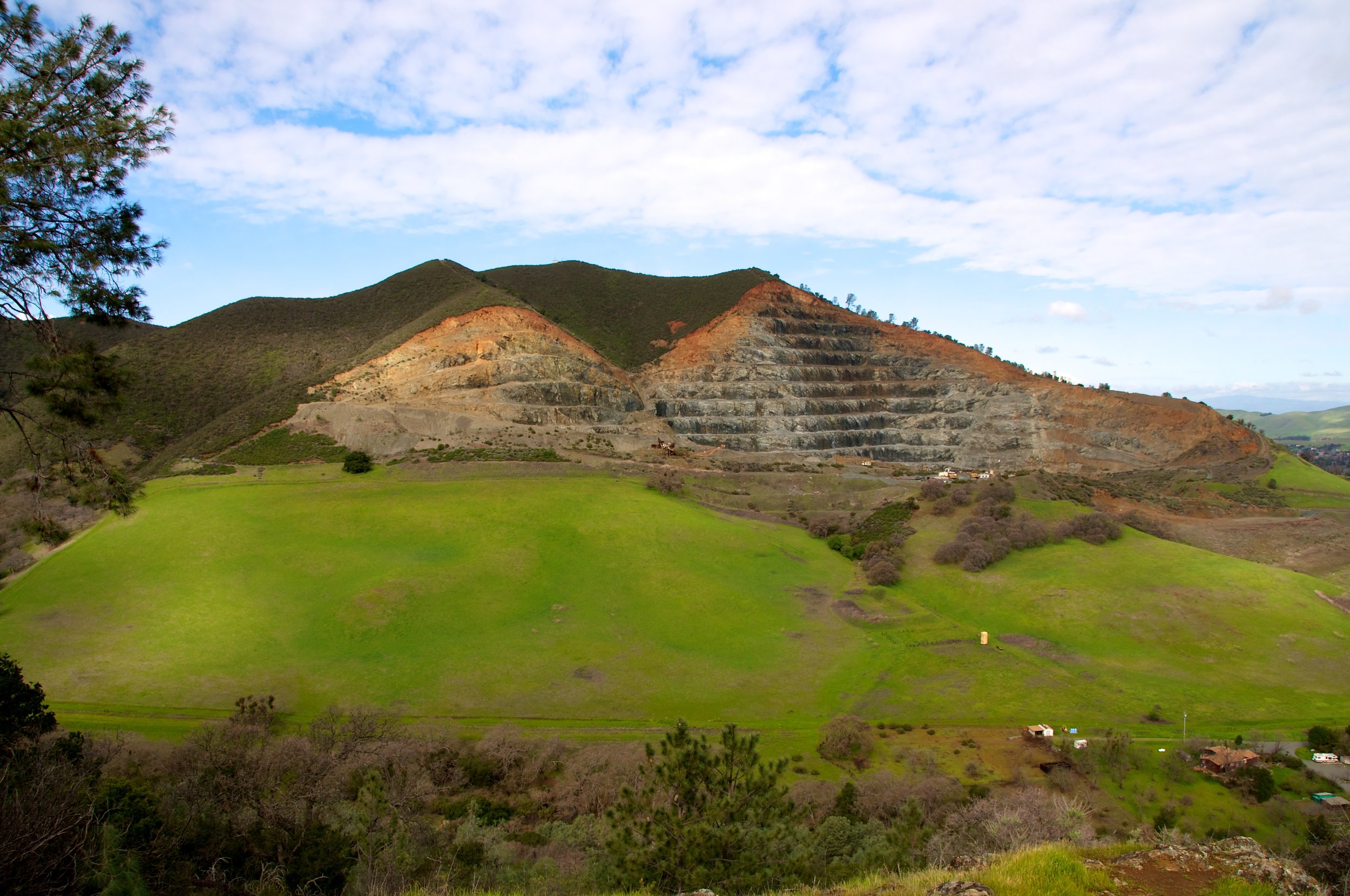
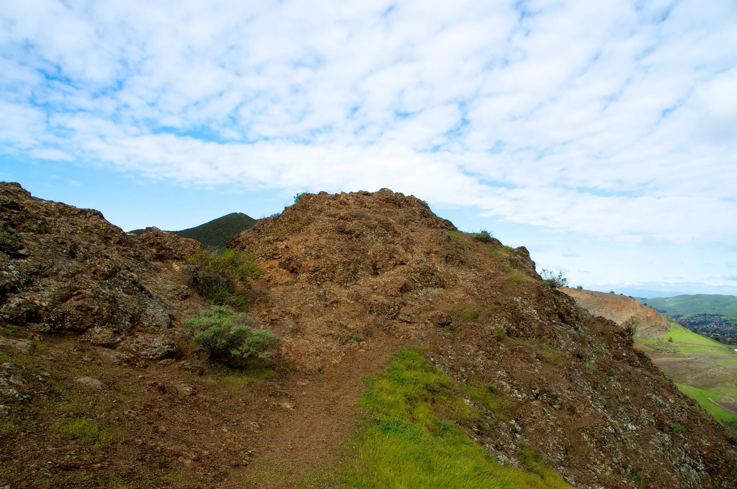
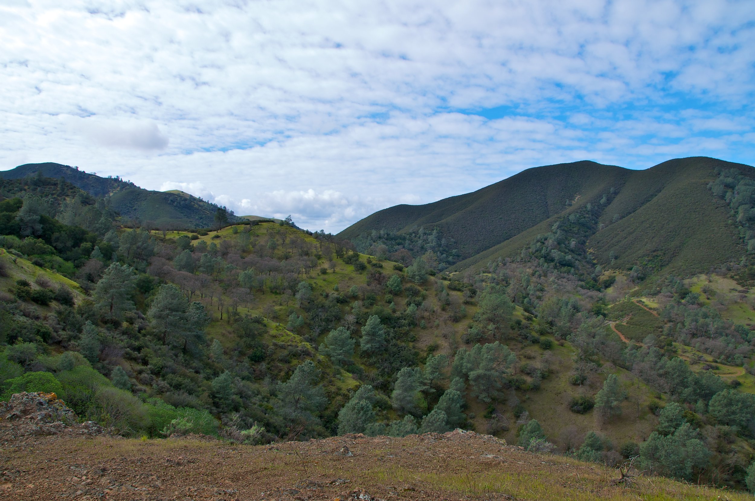
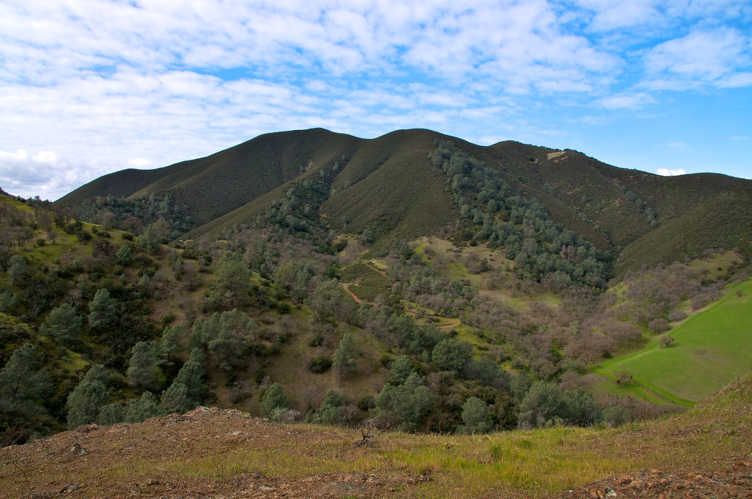
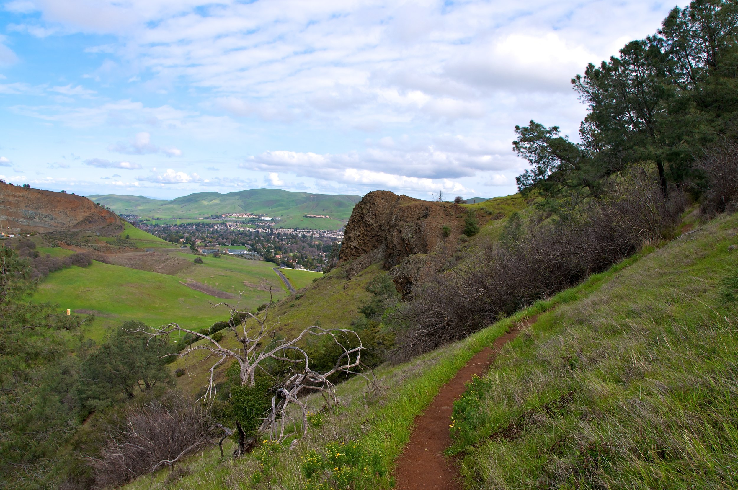
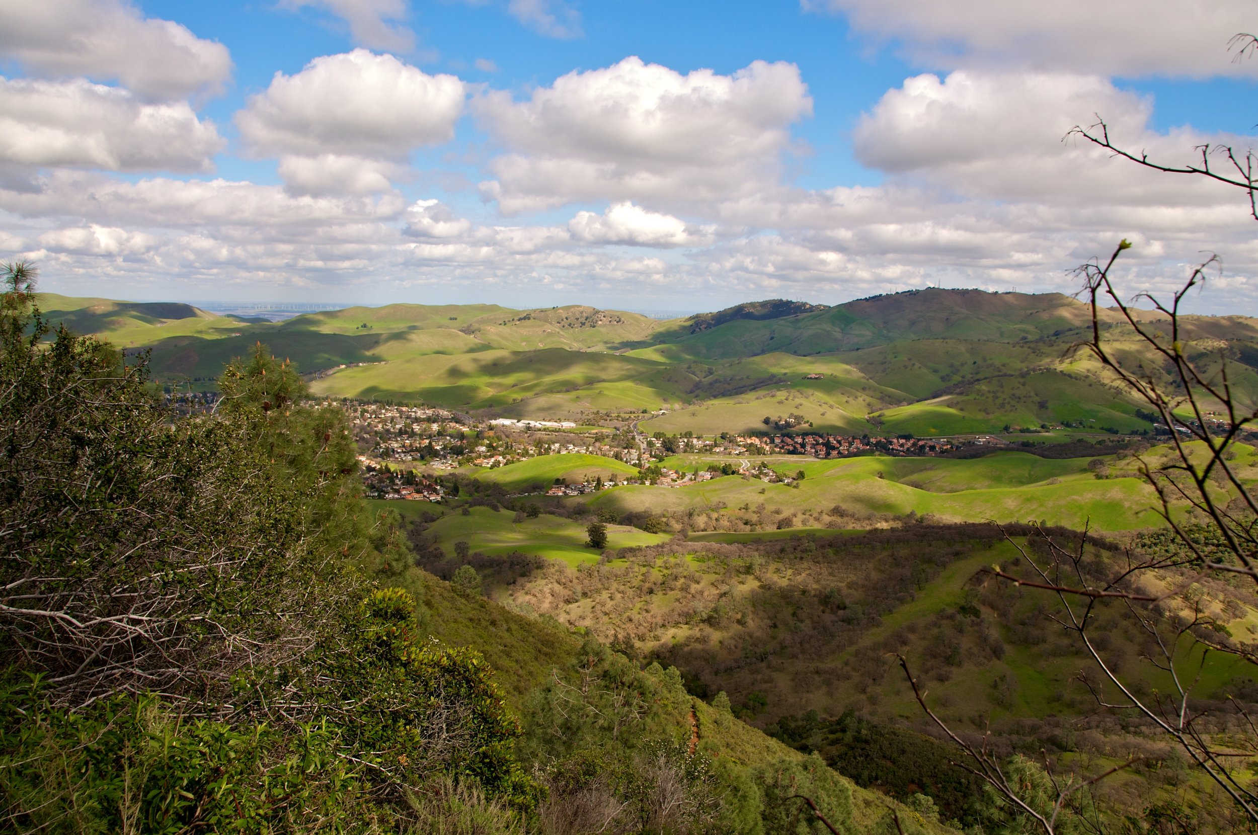
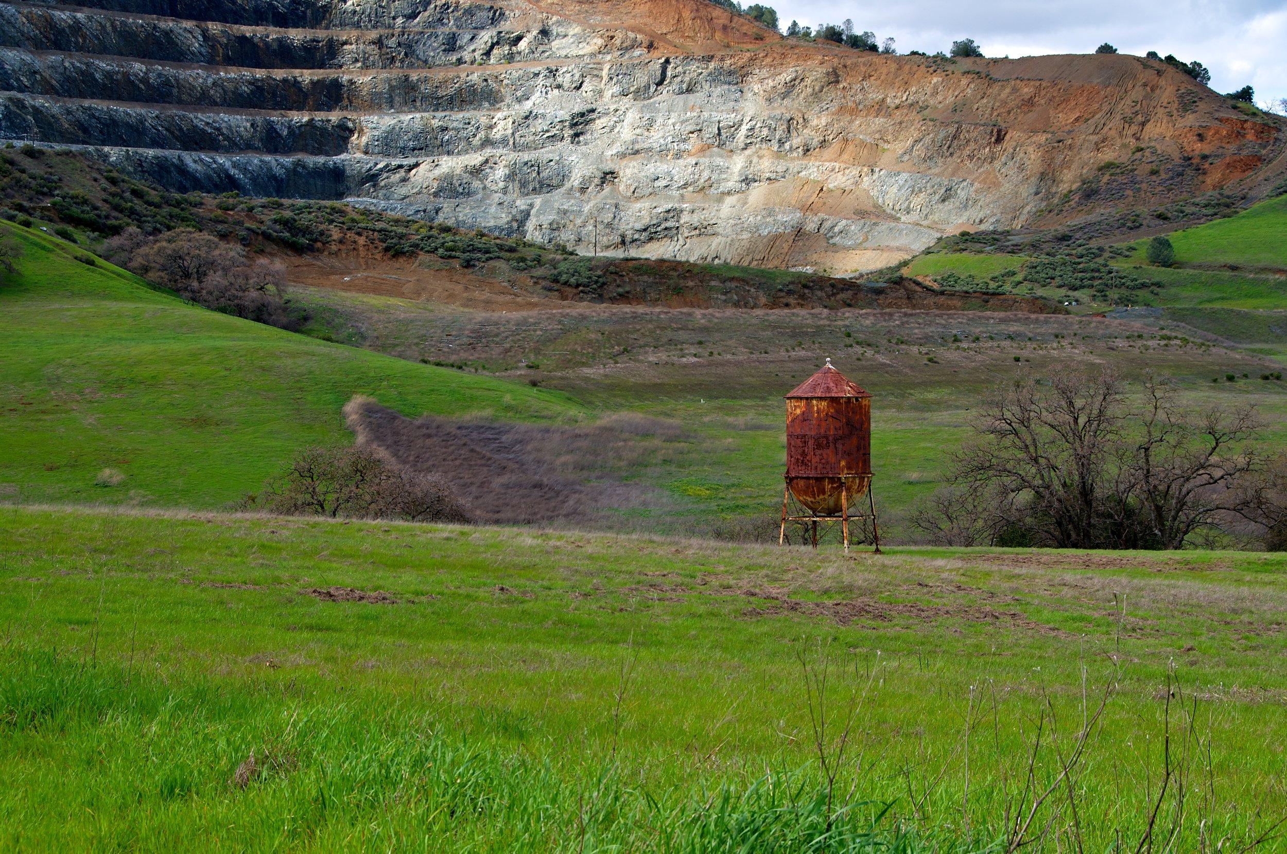
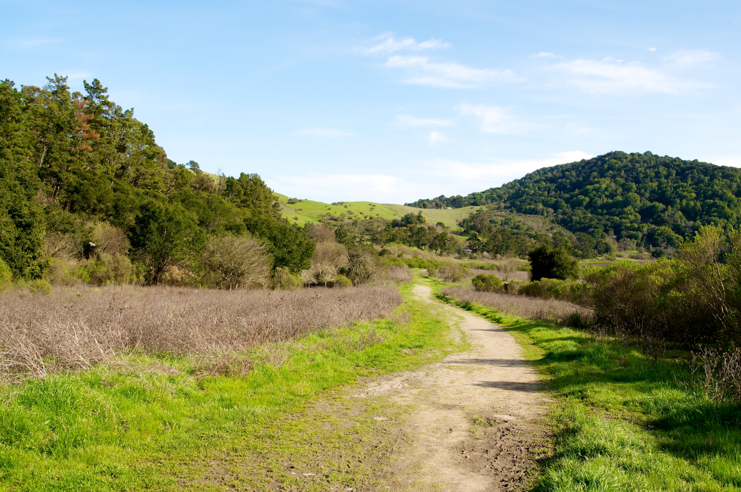
Beautiful hike with a challenging climb.
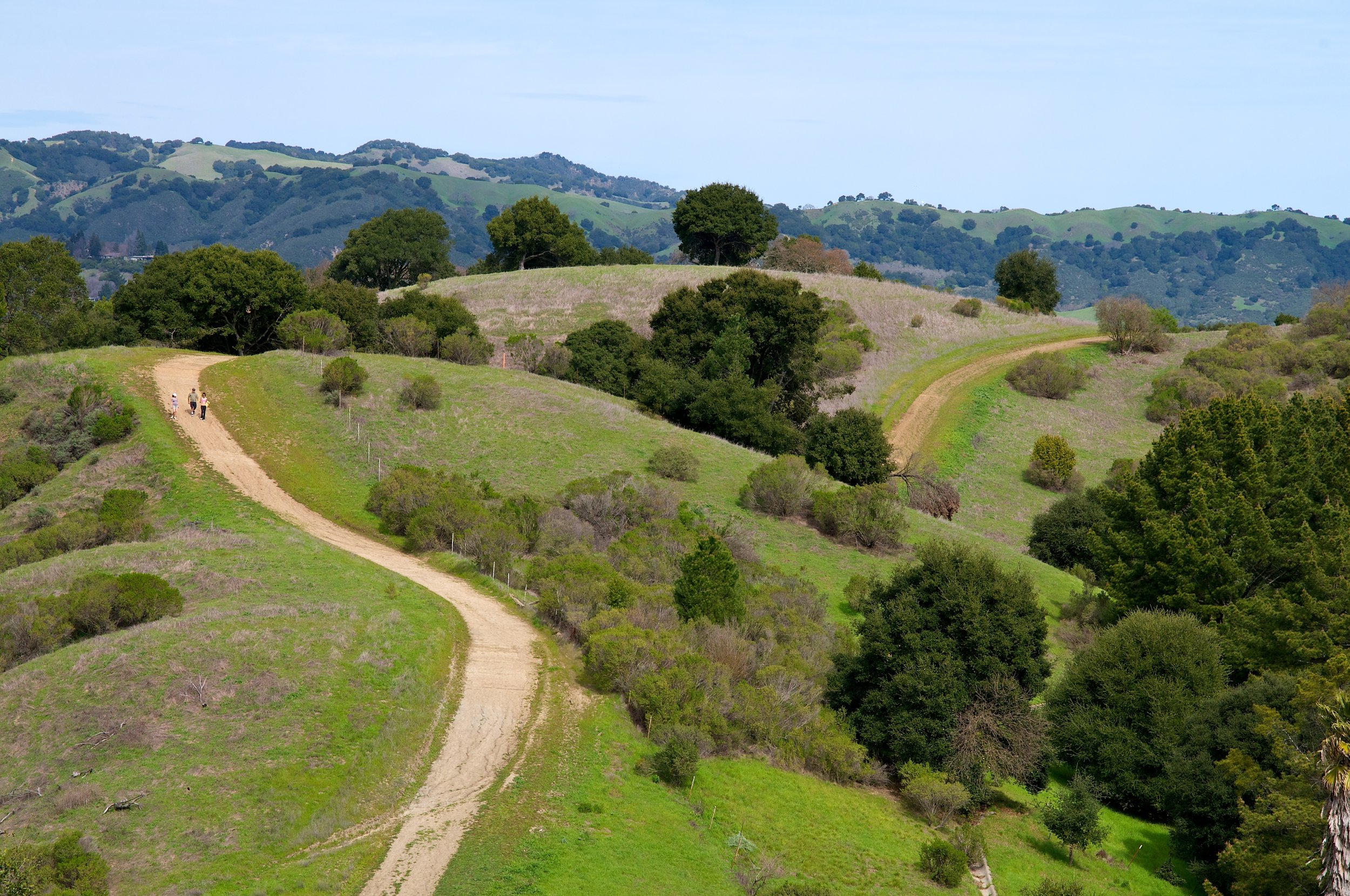
Start at the Mitchell Canyon Visitor Center.