King's Canyon Loop Hike, June 2011

This wonderful loop trail, about 6.5 miles, is a great hike or run, especially if you are trying to prepare for a trail 10k.  You'll see groves of Oaks, nice views of the Upper San Leandro Reservoir, numerous birds, including water birds, and possibly deer, wild turkey, rabbits, horses and probably a few cows.  In the wetter months, I've even come across some California Newts.   

Trails Featured: Riche Loop, Rocky Ridge Trail, King's Canyon Loop Trail


King's Canyon June 2011 38.jpg

King's Canyon Loop

East Bay Mud

Permit Required

Trailhead:


Round Valley Regional Preserve - May 2011

  • Location: Round Valley Regional Preserve
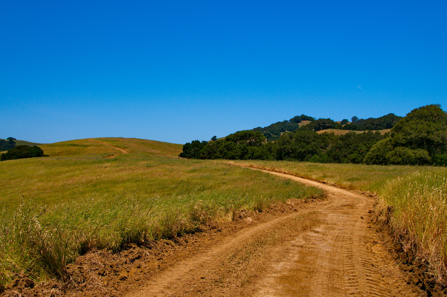
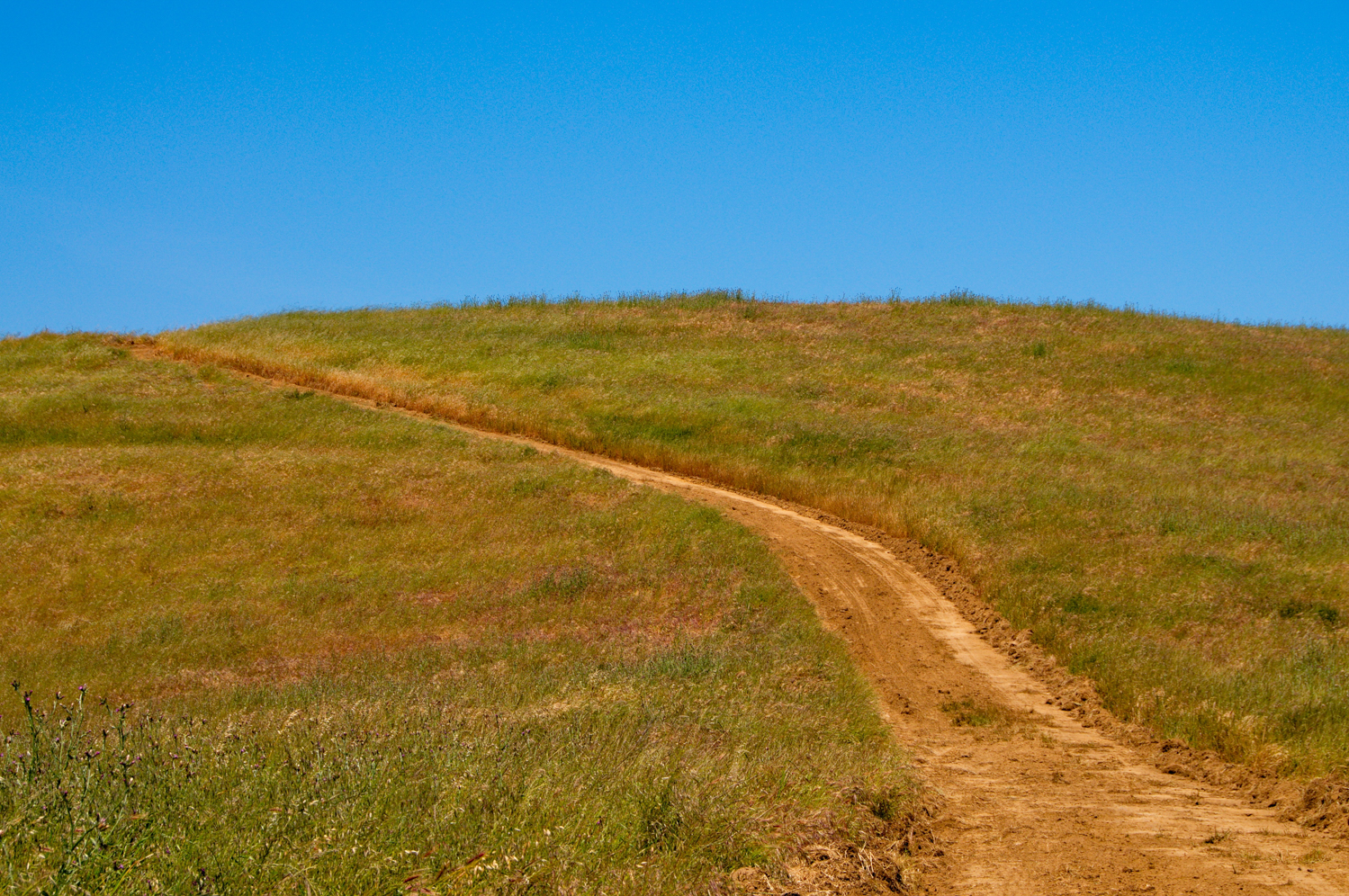
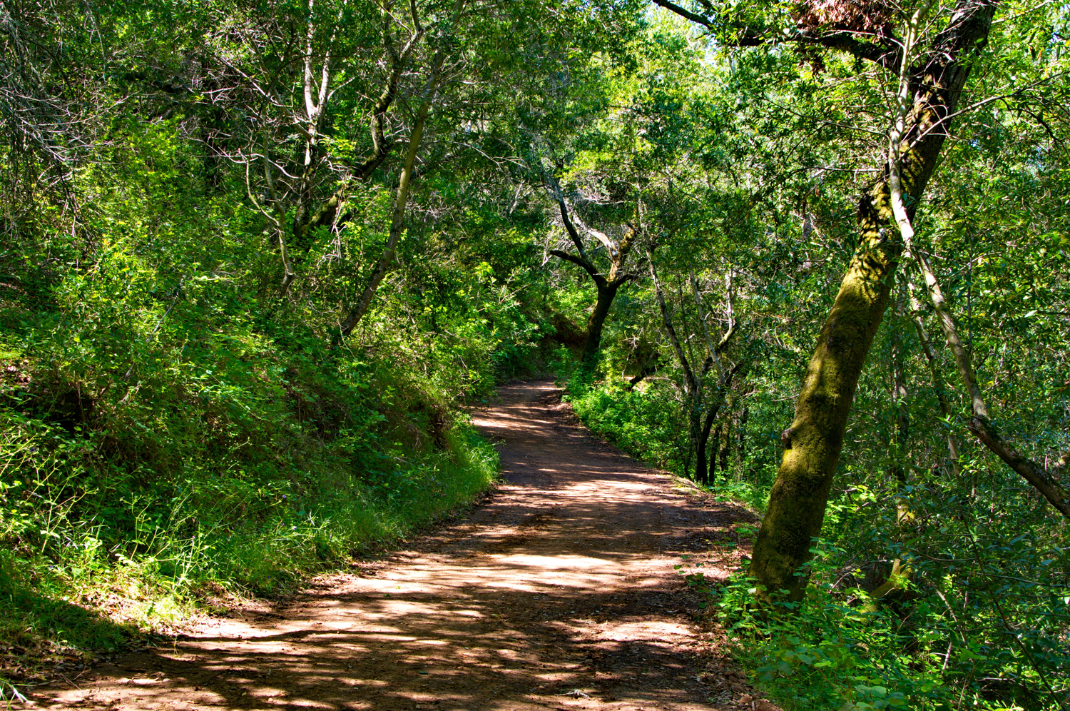
  • Route: Start out on the Miwok trail and cross the bridge.  You'll go through a cattle gate and start a rolling climb on a wide fire road type trail.  On your left you'll see clusters of Oaks, and on your right, you'll see a pleasant vineyard.  Be careful to avoid the horse poop and ruts on the trail left by cattle and horses.

    You'll see some random trails shooting off Miwok, but I stayed on the main trail.  

    At .6,  Cross a little cement bridge

    At .72 Cross another cement bridge

    At 1.14 Cross another Cement Bridge

    At 1.28 Cross a heavier bridge

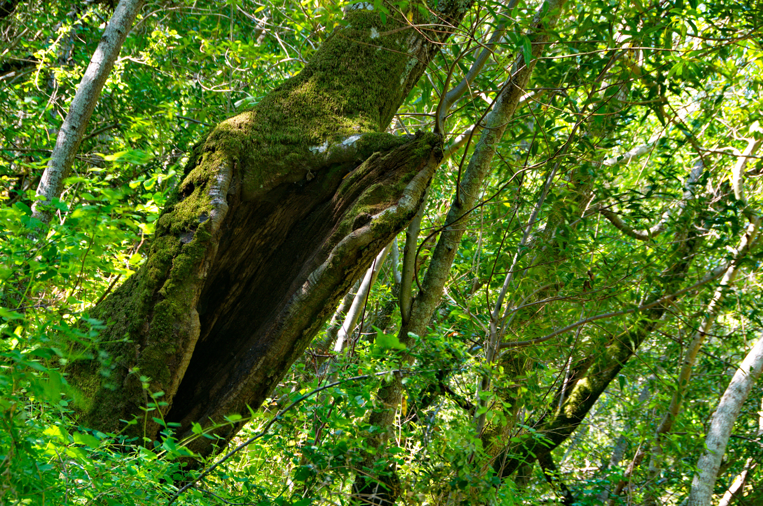
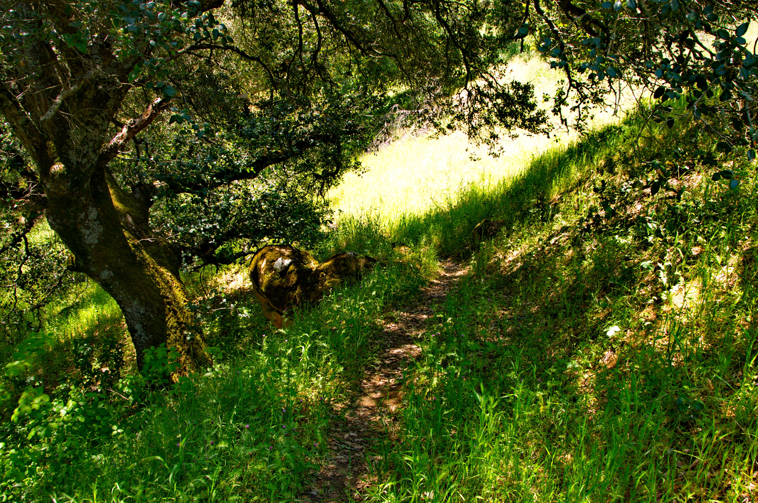
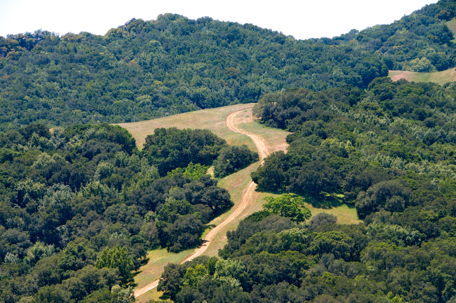
    1.39 Stream on right is loaded with boulders.  Seeing Oaks, boulders and grasses with patches of canopy

    1.49 Take a Left on to Hardy Canyon Trail

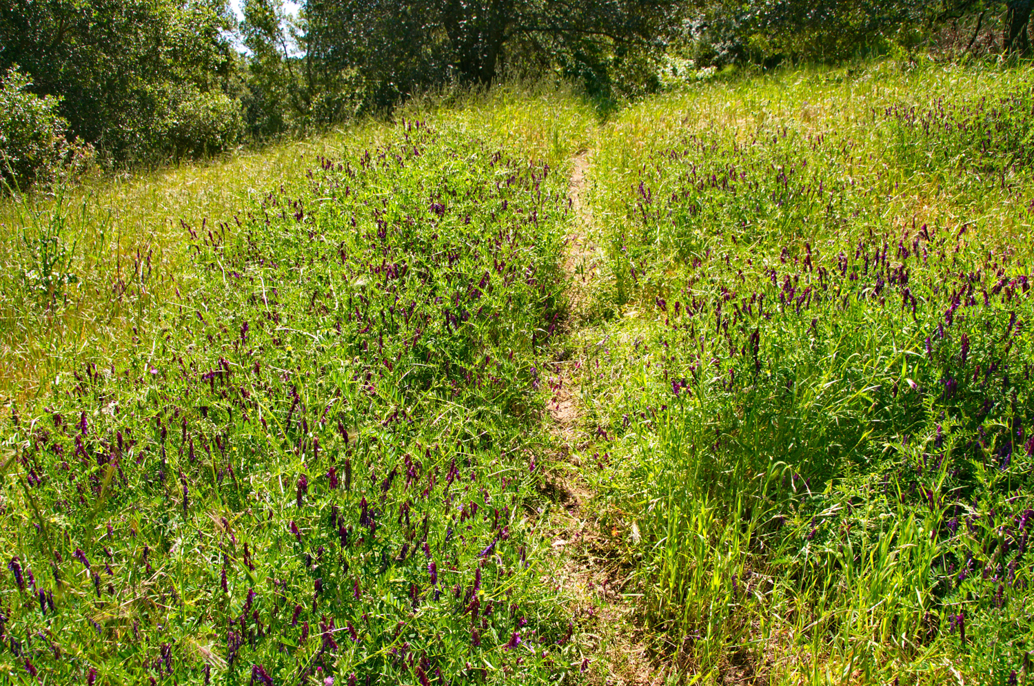
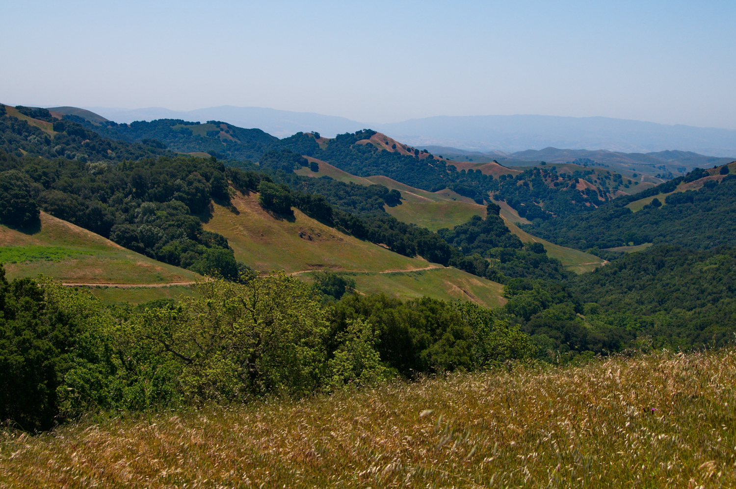
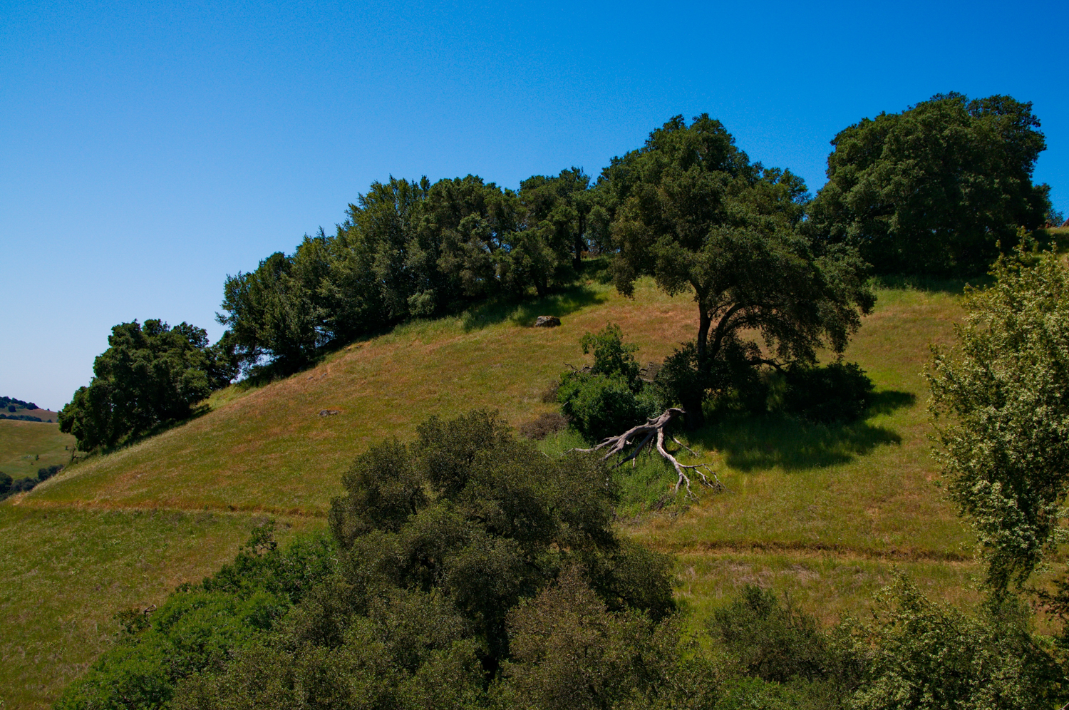
    Hardy Canyon Trail is a climb as you start up.  To the right is a nice valley, to the left is an Oak studded hillside.

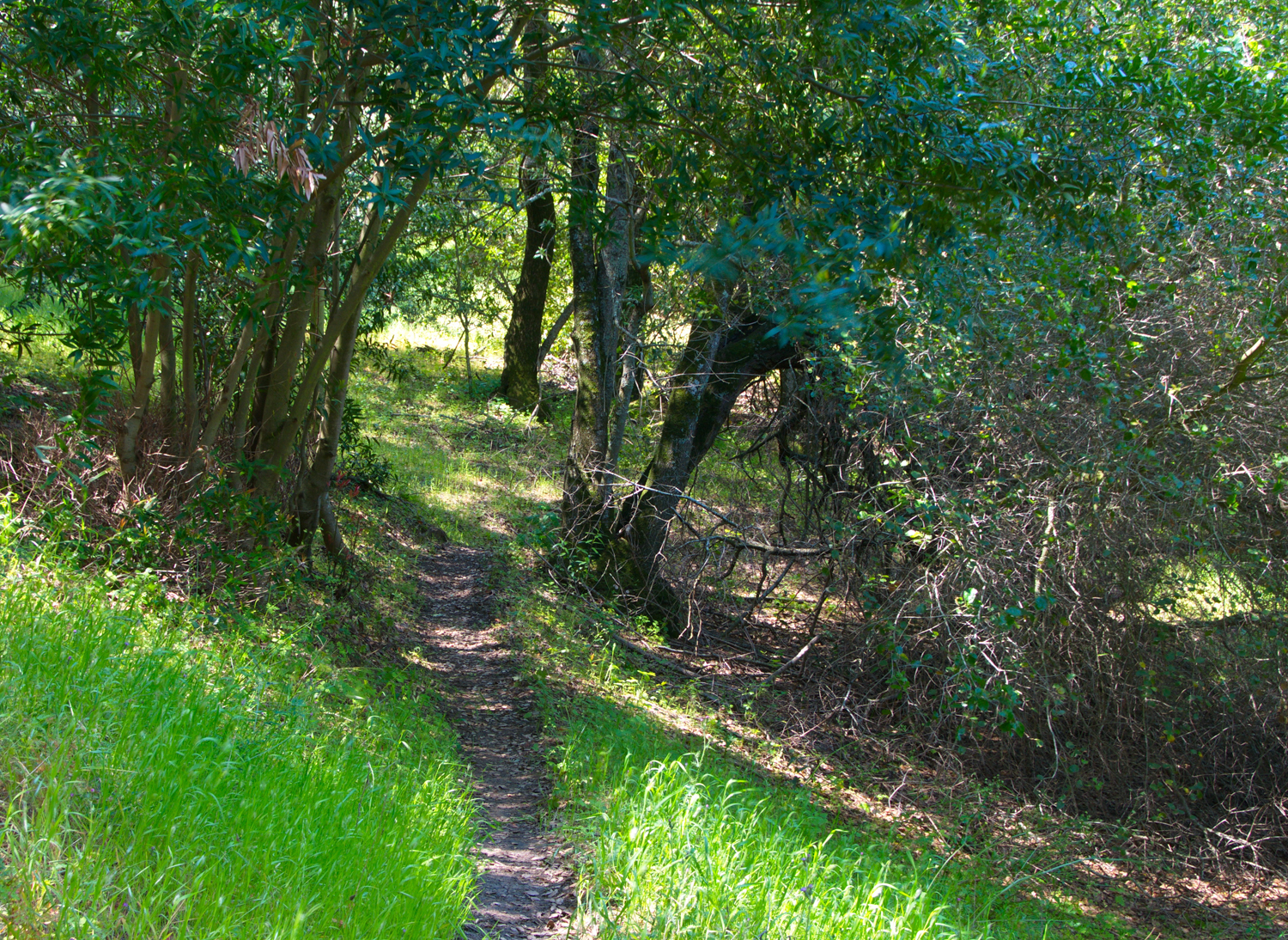
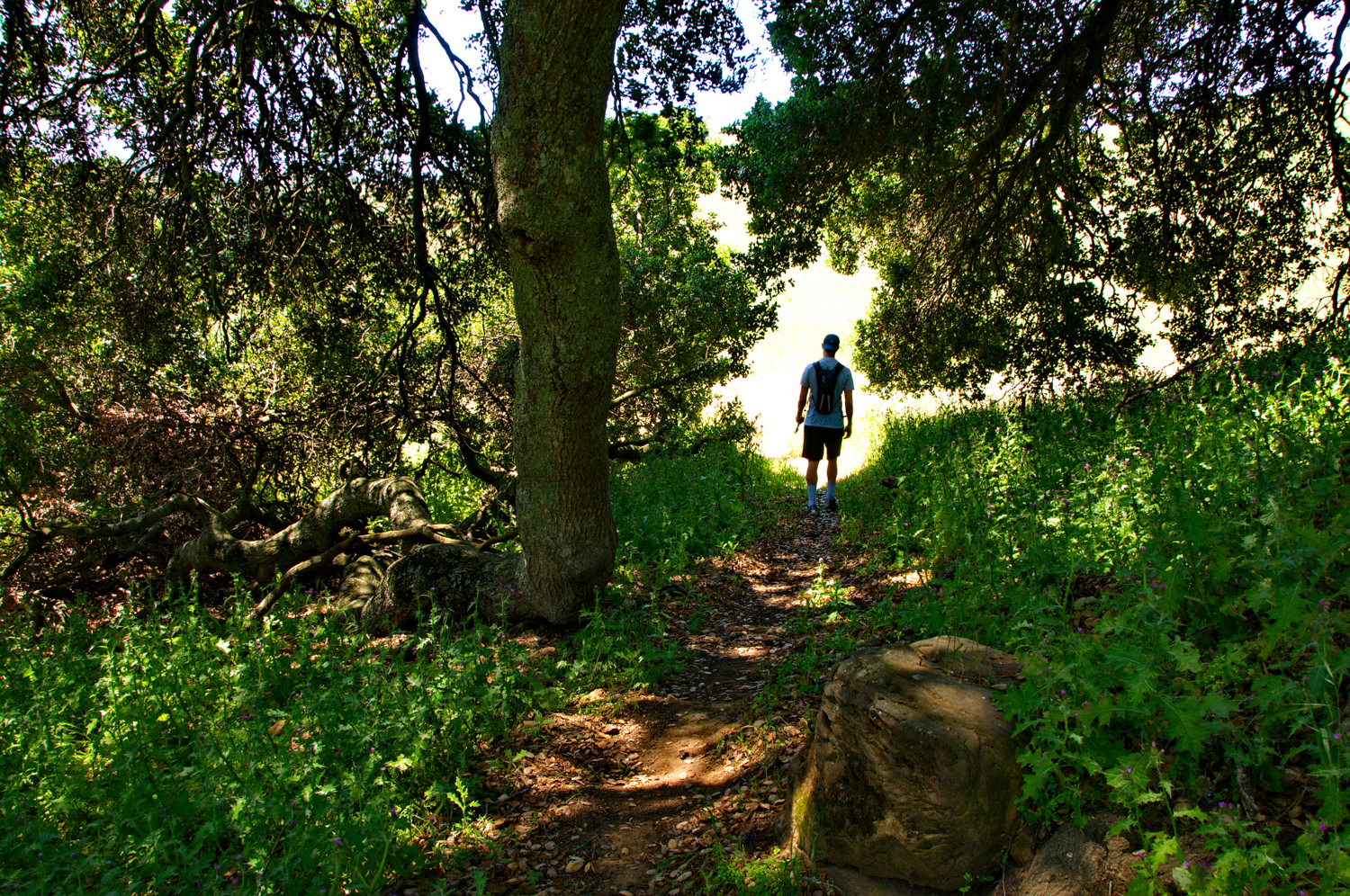
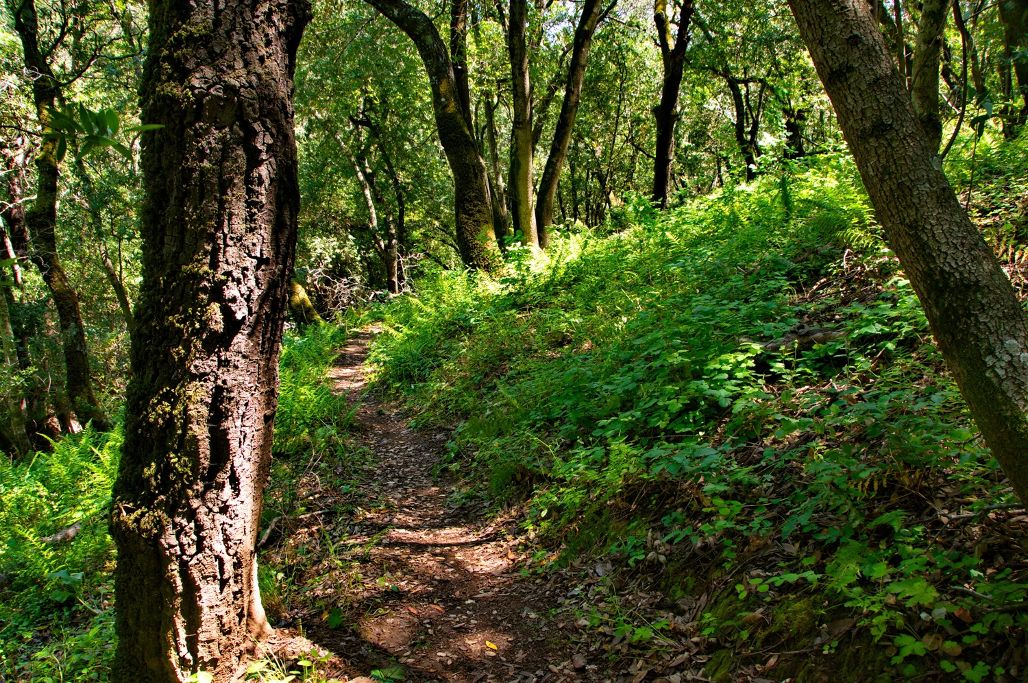
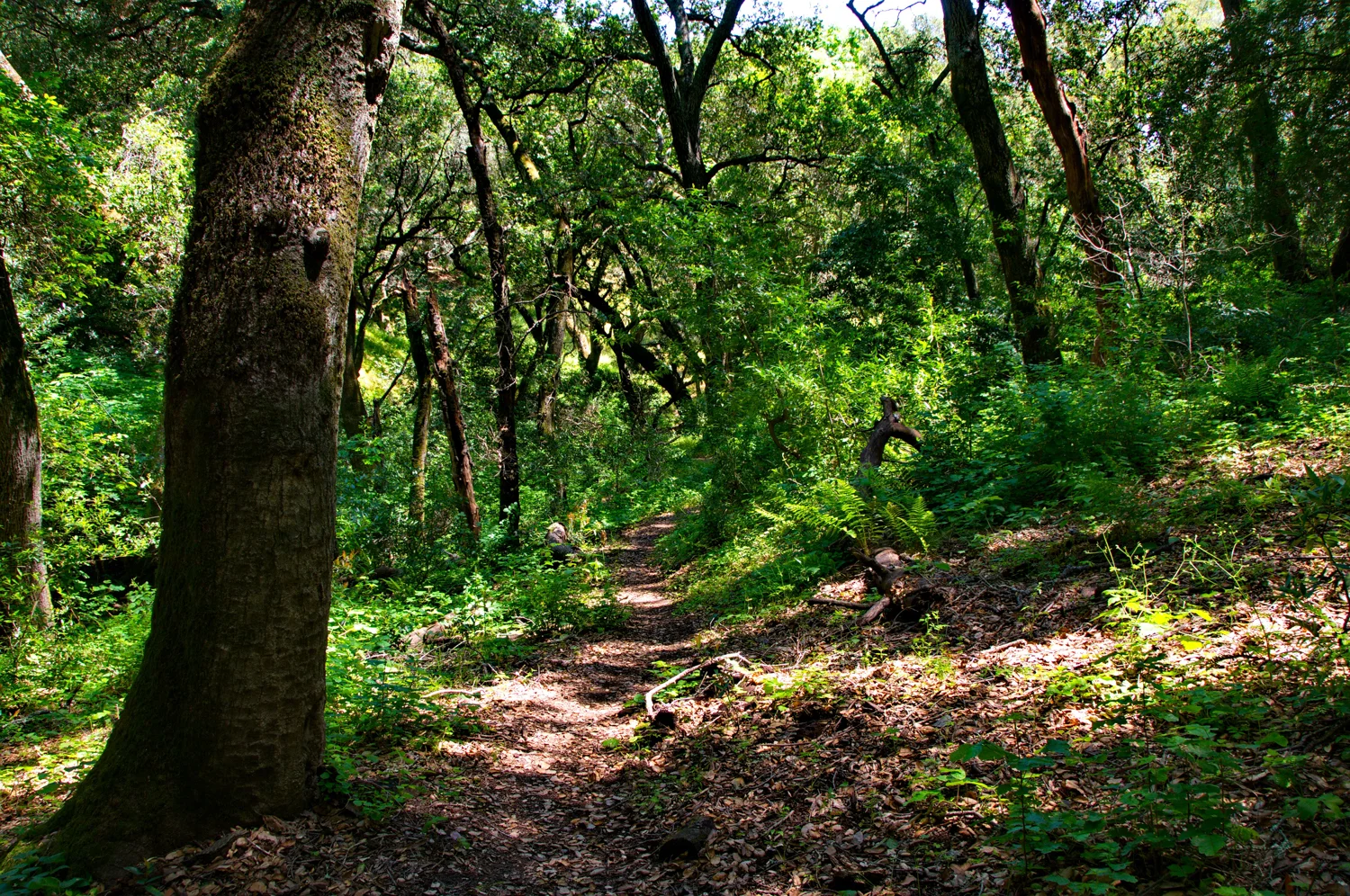
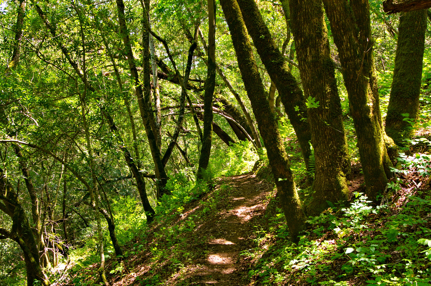
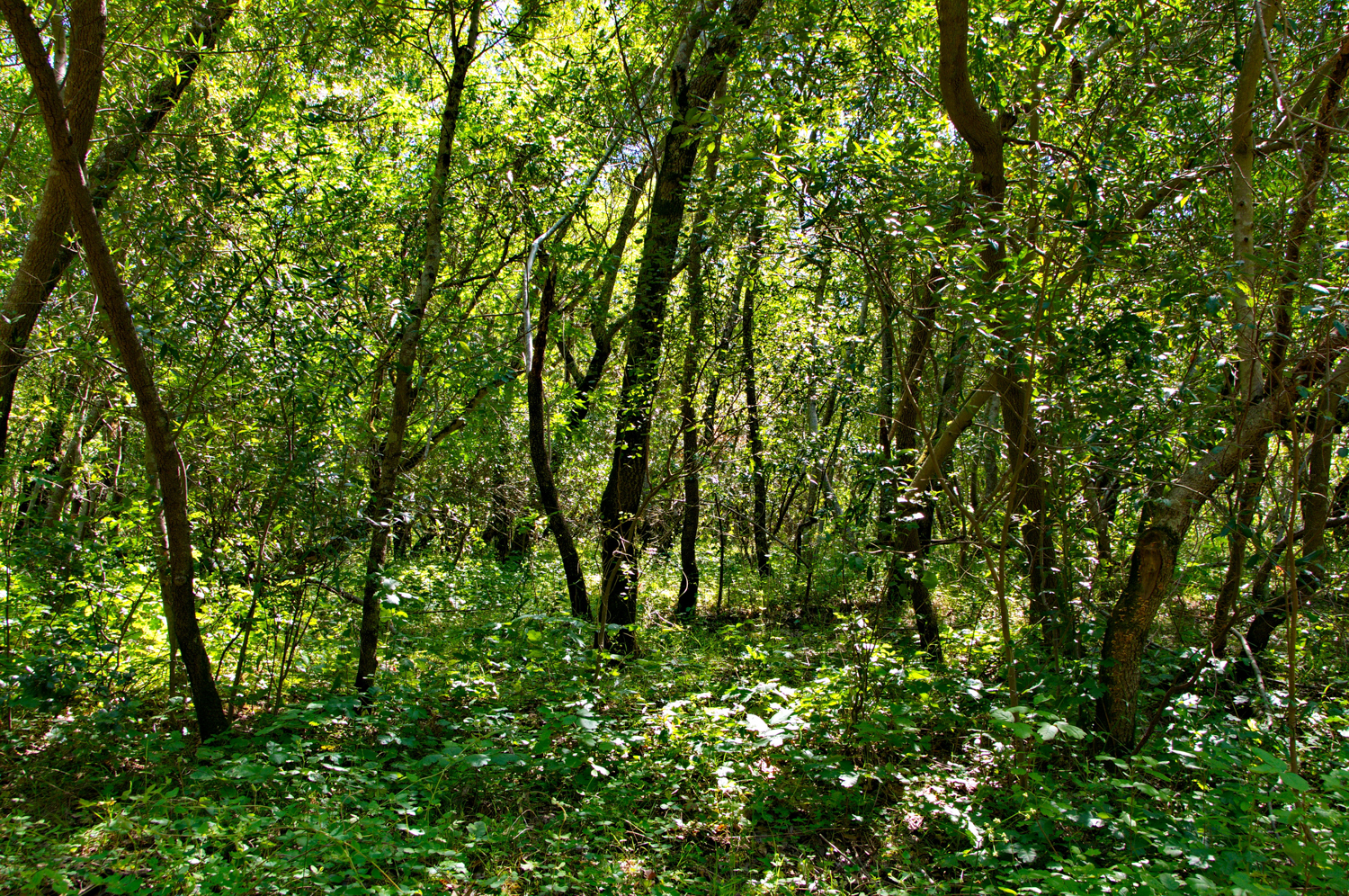
    Hardy Canyon Trail is a narrow, single track trail.  I saw squirrels and rabbits, and the valley below is beautiful...Hardy Canyon Trail will give you a nice, heart pounding climb.  I saw a few runners coming down the trail, but I was the only one going up.  This must be the hard direction!  

    2.35 on Hardy Canyon, almost all uphill, moderately steep

    2.44 on Hardy Canyon Trail, hawks circling above, hunting ground squirrel

    2.71 Trail here is in pretty bad shape, on right is a gulley, on left the dirt is rutted, but footing is precarious, but doable
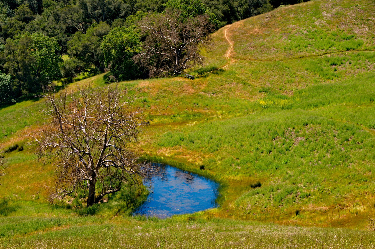
    2.97 Pond on right

    3.25 Clusters of Buckeyes

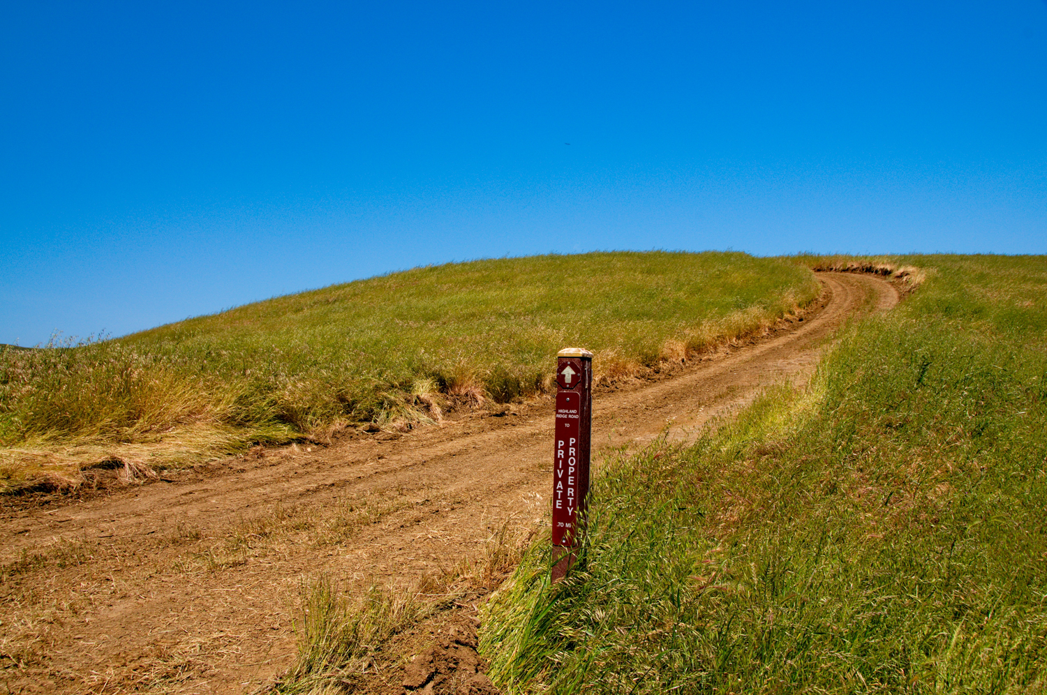
    3.83 Trail splits - take the trail to your left.  The last time I was there, someone had blocked the trail on the right with a few logs.  I think it goes past the ranch, but keep to the trail on your left.

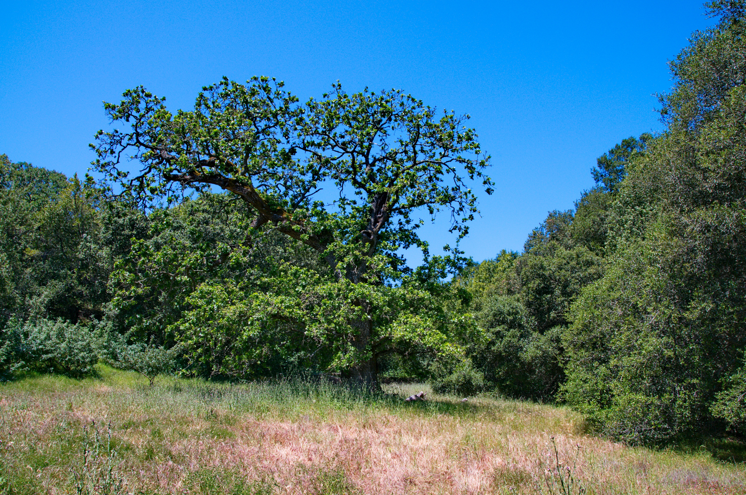
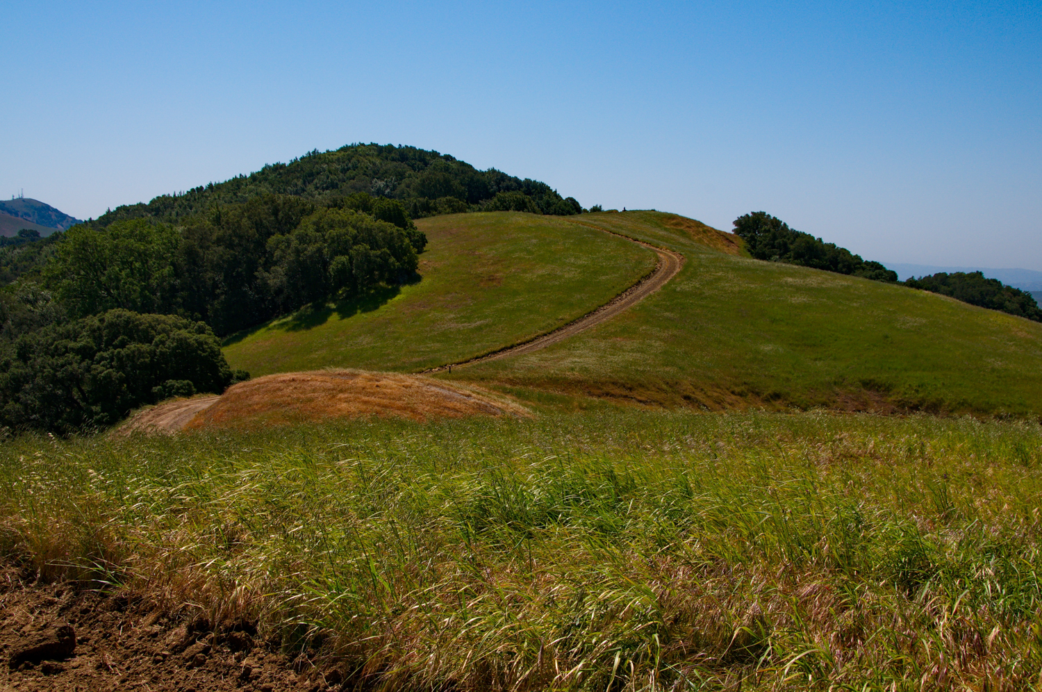
    Continue on through a few more forests of oak, and pass through another cattle gate.

    4.66, cross back over the bridge to the parking area.

  • Mileage: 4.66 miles
  • Difficulty Level: Moderate, with some steeper climbs on the Hardy Trail
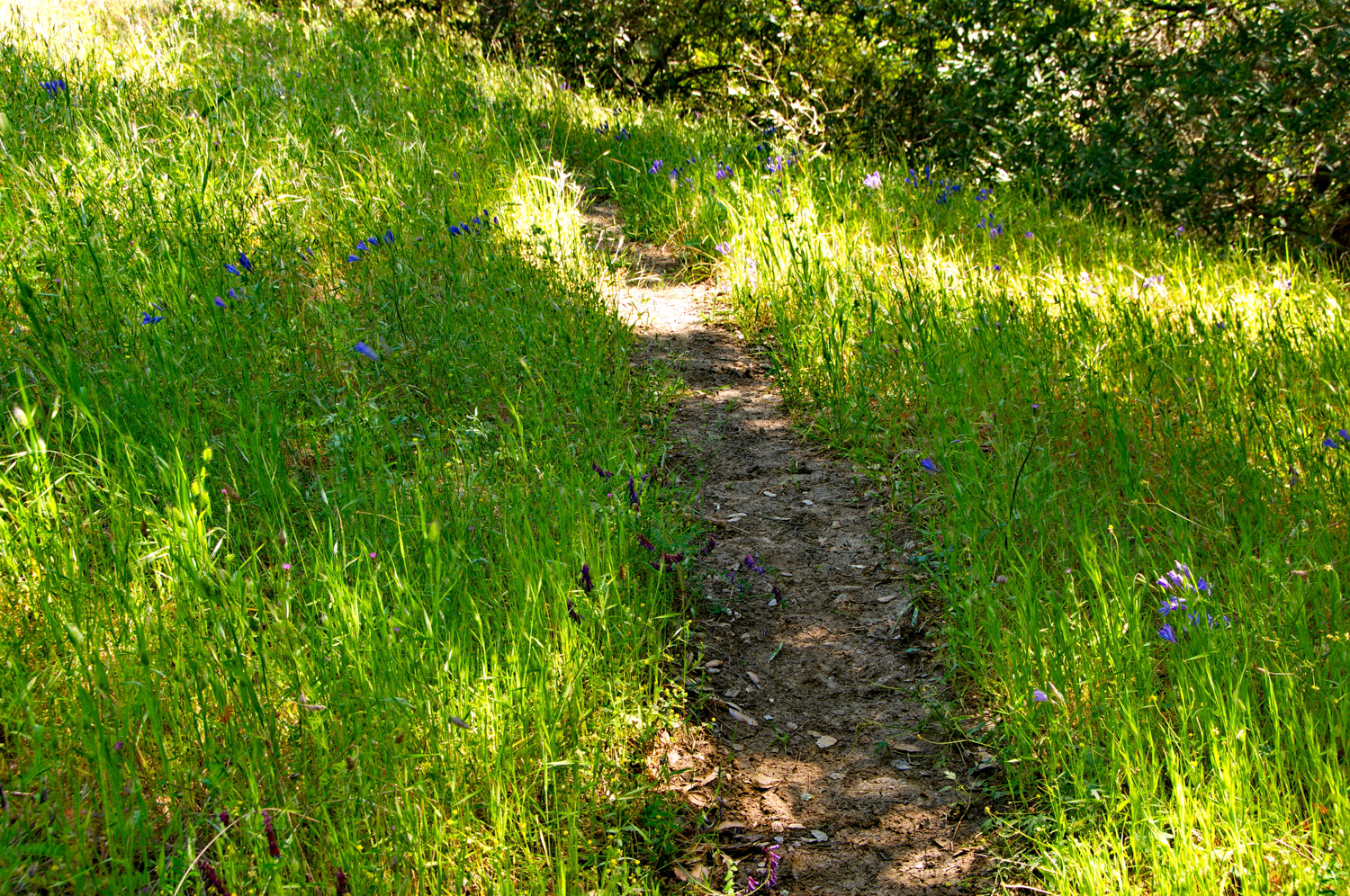
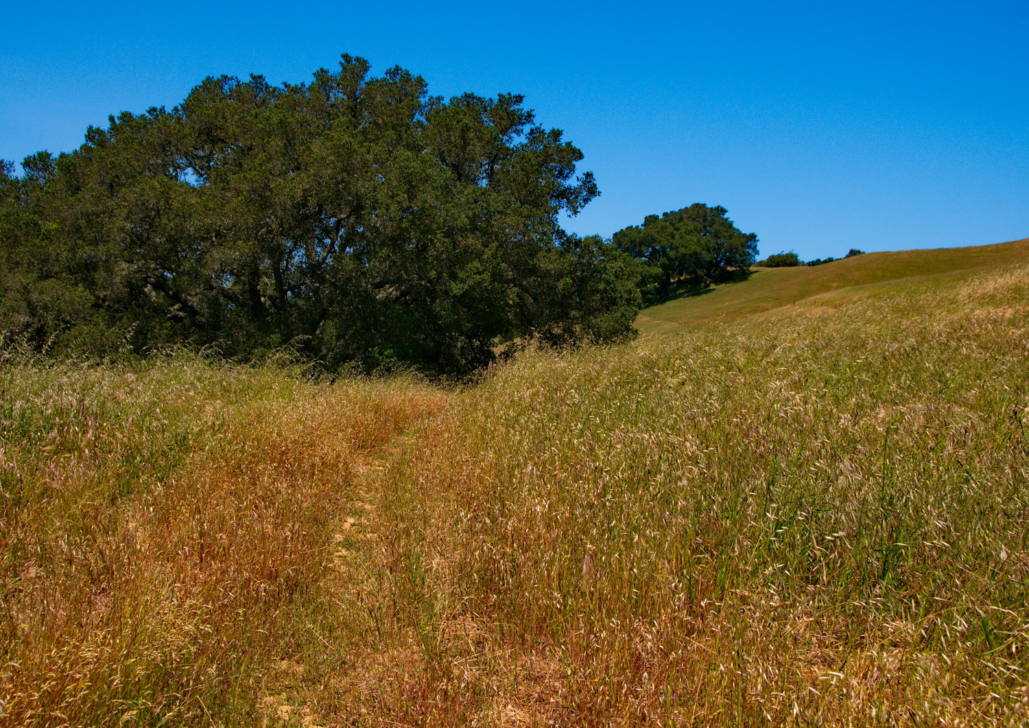
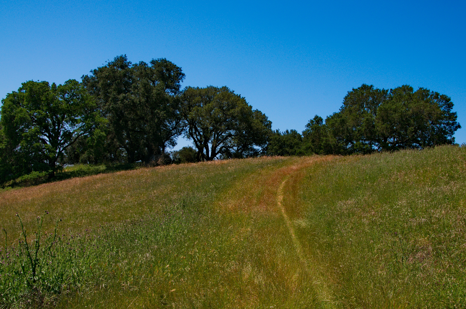
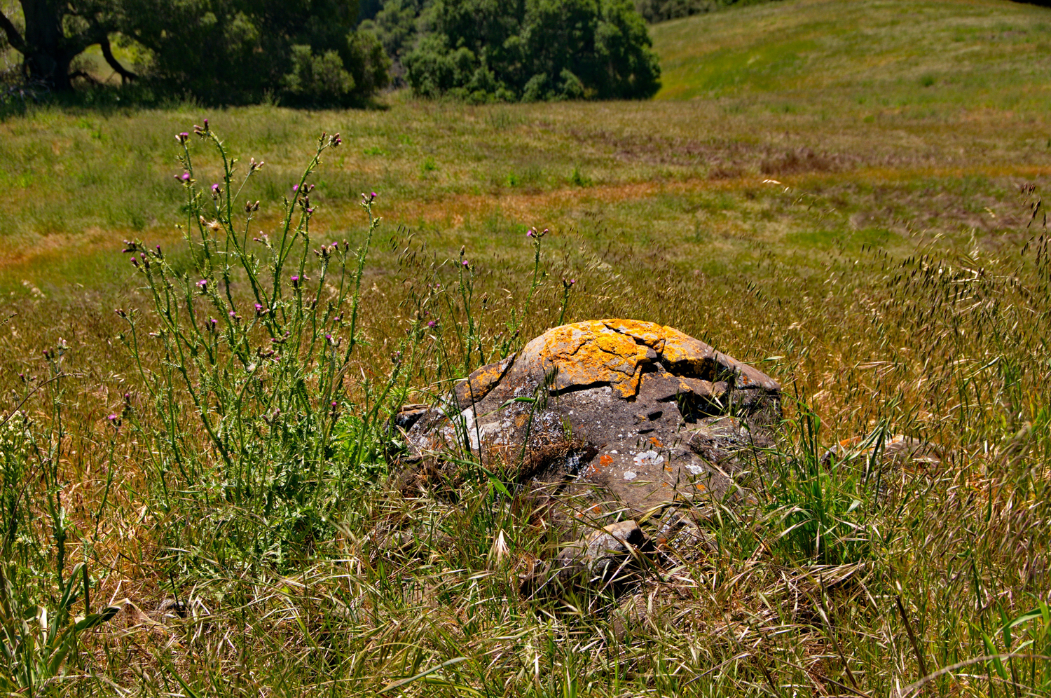
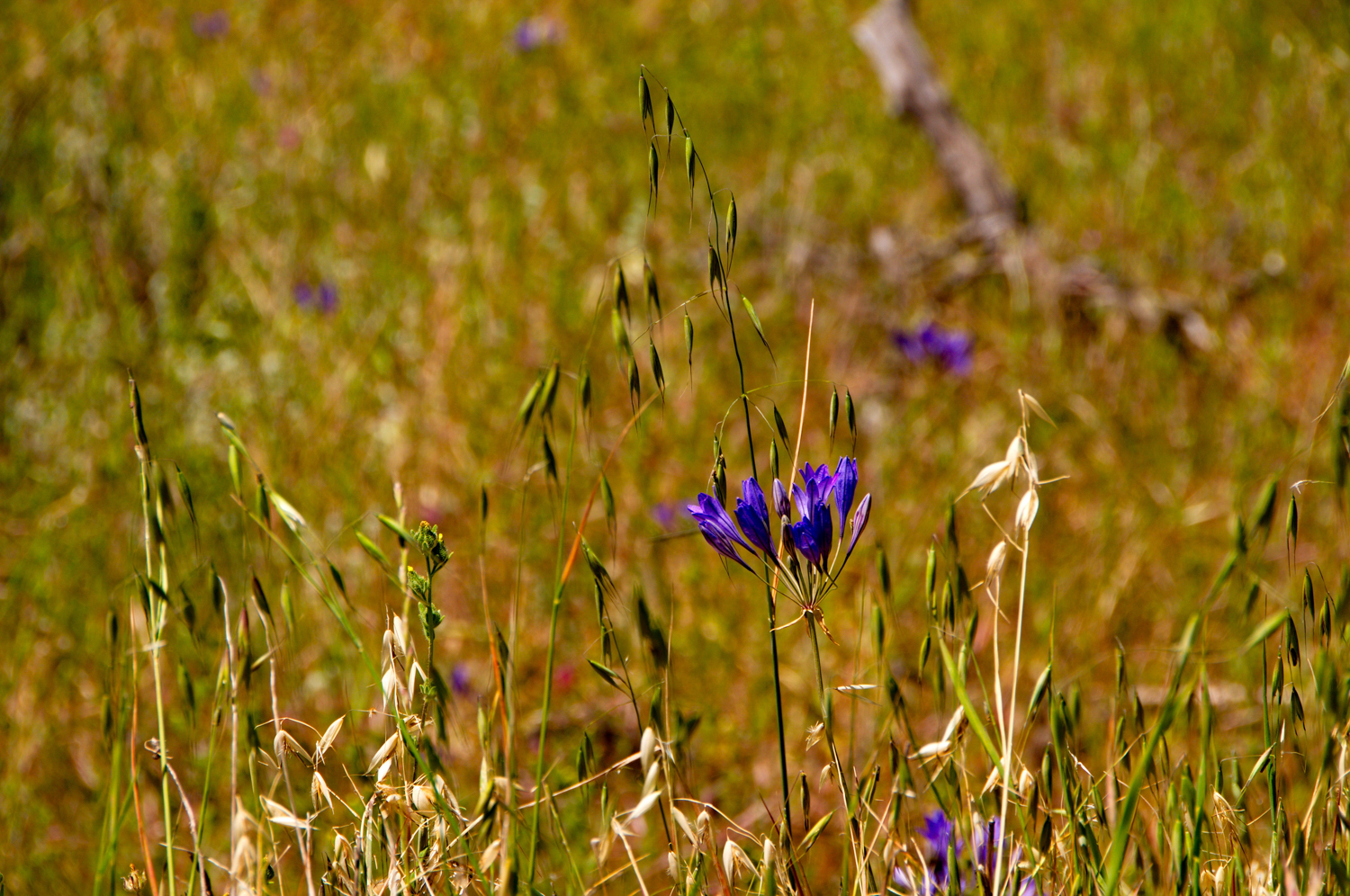
  • Description: 

    Round Valley Regional Preserve is a nice, secluded place with beautiful clusters of oaks and a wide variety of grasses, including rye, wild oats, foxtail chess, and wild barley.  This was once home to California Indians, and evidence of their past activity has been found in several areas at the preserve.  

    I took a loop hike, which included only two trails, the Miwok and the Hardy Canyon Trail.  Along the route you may see rabbits (Audubon or desert cottontail), hawks, golden eagles and certainly some ground squirrel, which are food for the raptors.  In the rainy season, you'll see some nice streams and ponds, which are home to red-legged frogs, western toads, western pond turtles and Pacific tree frogs.  You'll pass through oak woodland, with pockets of blue, valley, coast and interior live and black oaks.  In my first visit, the buckeye was flowering, and the during the second visit, was dropping leaves

  • Trail Map
  • Trailhead and Parking:
 

round valley 2011_LND5607.jpg

Round Valley

Round Valley Regional Preserve

Photo Slideshow:

Tassajara Creek Hike - Mt. Diablo

This hike explored a remote but beautiful part of Mt. Diablo State Park, and we mostly followed the hike suggested by the East Bay Trail Dogs.  Here is some background from their website: 

"The Tassajara Creek Trail is located in the southeast portion of Mount Diablo State Park (MDSP), between Highland Ridge Road and Riggs Canyon Road.  The original 1.25 mile section of the trail, which largely runs parallel to the Tassajara Creek, was build by the East Bay Trail Dogs in 2003.  At that time the property (known as the “Silva property”) was owned by Save Mount Diablo, but was later transferred to MDSP.  This original section of the Tassajara Creek Trail has also been referred to as the “Trillium Trail” due to the abundance of Trillium plants growing alongside the trail.
In 2009, at the request of MDSP, the East Bay Trail Dogs built a 0.75 mile extension of the Tassajara Creek Trail to bypass most of the (now-abandoned) Bob’s Pond Fire Road.  A picnic table, also built by the East Bay Trail Dogs, is located where the original and new sections of the trail meet, overlooking Bob’s Pond."

We fought a battle with ticks, especially on the lightly travelled Jeremiah Creek Trail.  Due to the remoteness, I would suggest hiking this route with others rather than going solo.  There is quite a bit of diversity here.  You'll see some nice canopies on the Tassajara Creek Trail, and some exposed and open fire road trails on Morgan Creek Road, Highland Ridge Road, and Morgan Ridge Road.  Don't forget to pack a lunch and sit at the picnic table overlooking Bob's Pond.  

Mount diablo state park Tassajara-2.jpg

Tassajara Creek 

Mount Diablo State Park


Image Highlights:


Location of the Trailhead:


Purisima Creek Trail

I took a hike in Halfmoon Bay.  The Purisima Creek Openspace is a beautiful Redwood Forest just east of the ocean.  

  • Location: Purisima Creek Redwoods Preserve
  • Route:  Explored the Purisima Creek Trail, Craig Britton Trail and Harkins Ridge Trail. 
  • Difficulty Level: Moderate to strenuous, depending on distance. 
  • Description: Stunning hike through Purisima Creek Canyon, filled with old growth redwoods, and a foliage rich forest floor with a meandering creek. 
  • Trail Map
  • Trailhead and Parking
Purisima 2011-04-26 13-03-26 - _LND5493.jpg

Purisima Creek

Purisima Creek Redwoods Preserve