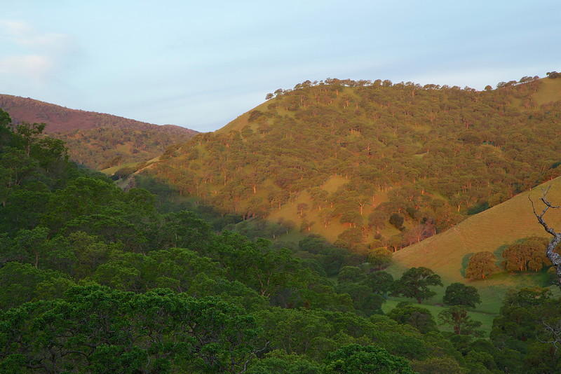
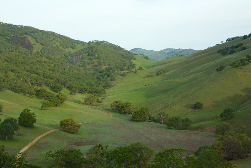
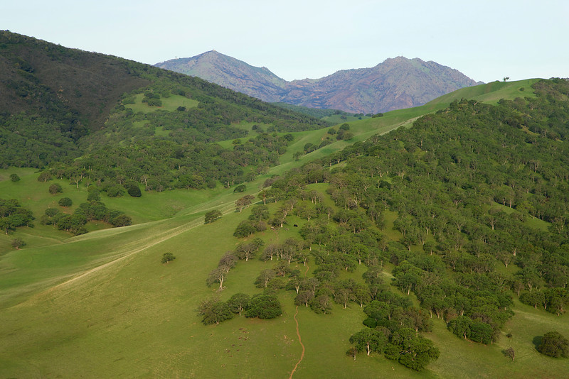
Mangini Ranch is a property acquired in 2006 by Save Mt. Diablo, an organization dedicated to preserving and protecting the land around Mt. Diablo. The ranch is 208 acres, and contains the headwaters of Galindo Creek.
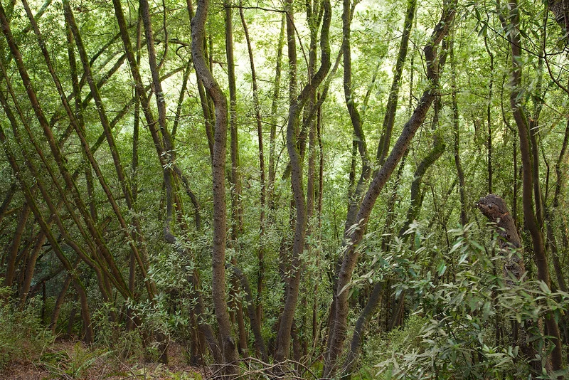
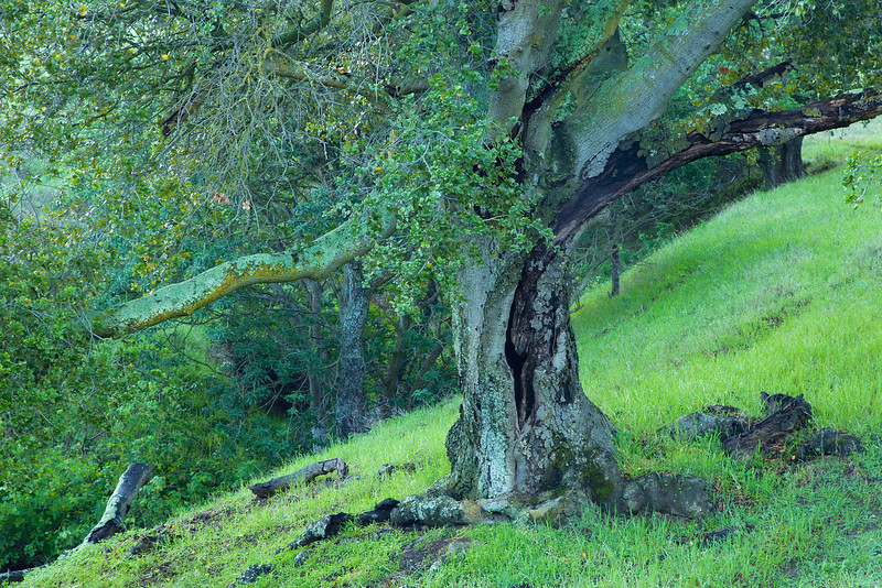
One of the many old Buckeyes that dot the property.
The property has been used in the past for ranching, and was a tempting target for developers for quite a while.
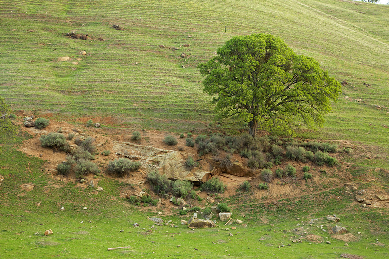
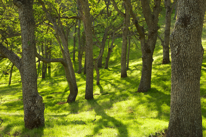
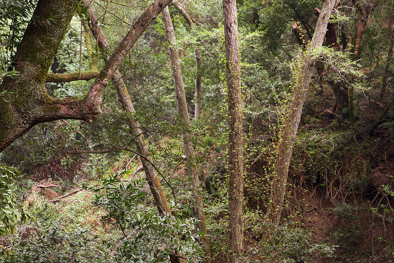
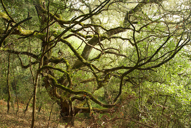
An old oak stretches on a hillside.
Fortunately for us, the Mangini family decided to sell the property to SMD, and now we can hike the property and observe nearly 600 species of birds, insects, reptiles, amphibians, mammals, plants and arthropods.

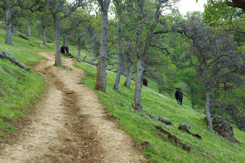
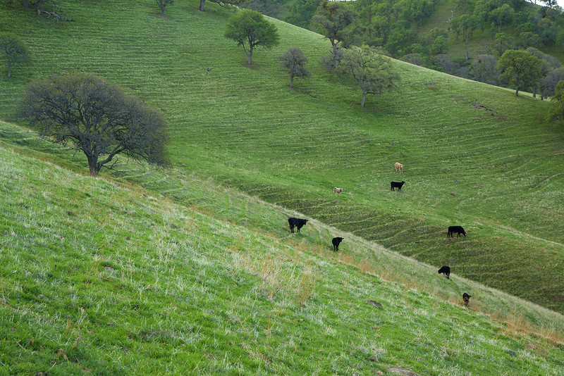
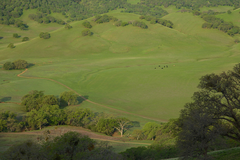
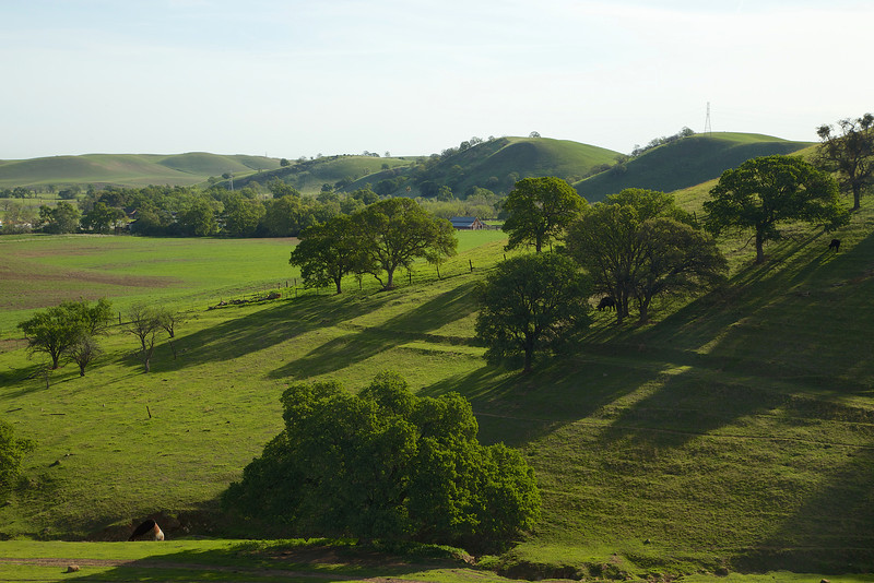
Grazing cows on the property help mitigate tall, dry grass as a fire hazard.
Save Mt. Diablo likes to donate their properties to the state to be incorporated in to the greater Mt. Diablo State park, but due to budget cutbacks at the state level, the park can not currently maintain any additional properties. As a result, SMD maintains the properties until the state resources open up.
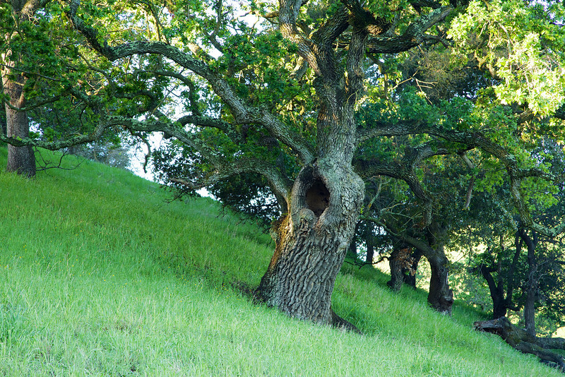
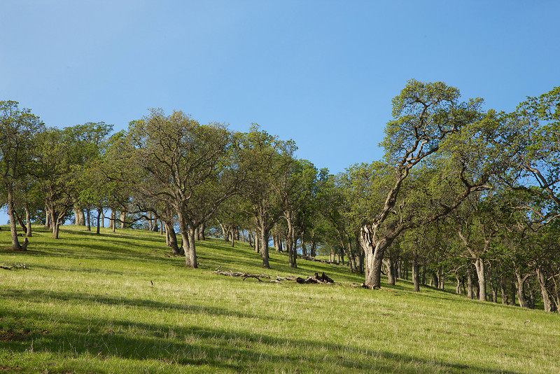
A yawning old oak on a hillside at Mangini Ranch.
Currently, the only way to hike this property is through a guided hike by SMD. I am a hike leader for SMD, and I and other SMD volunteers lead hikes here. For a full calendar of hikes on this property, and other SMD properties, please visit the SMD calendar.
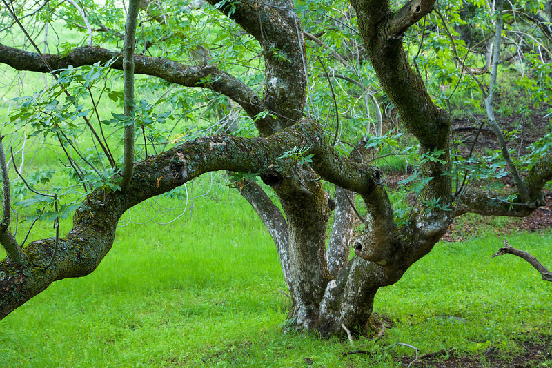
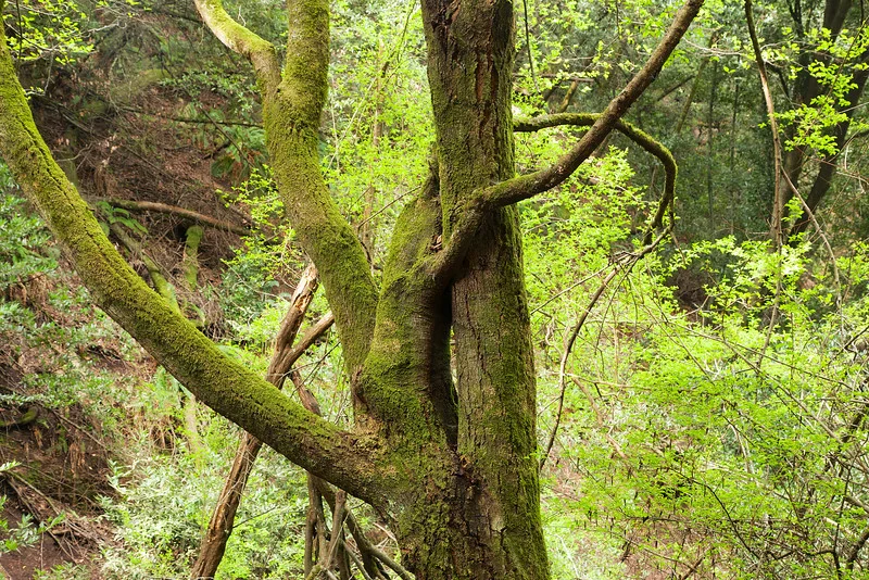
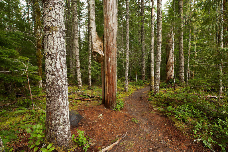
A Buckeye reaches out to say hi.
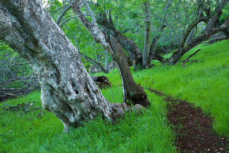
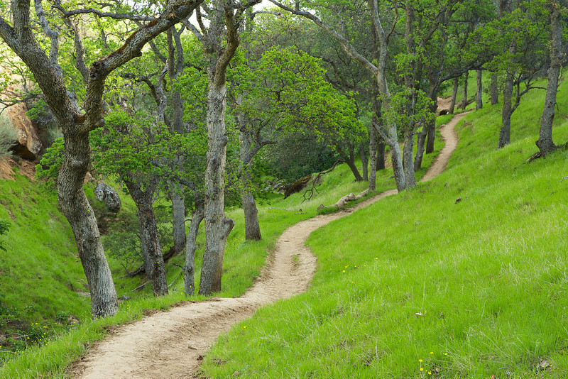
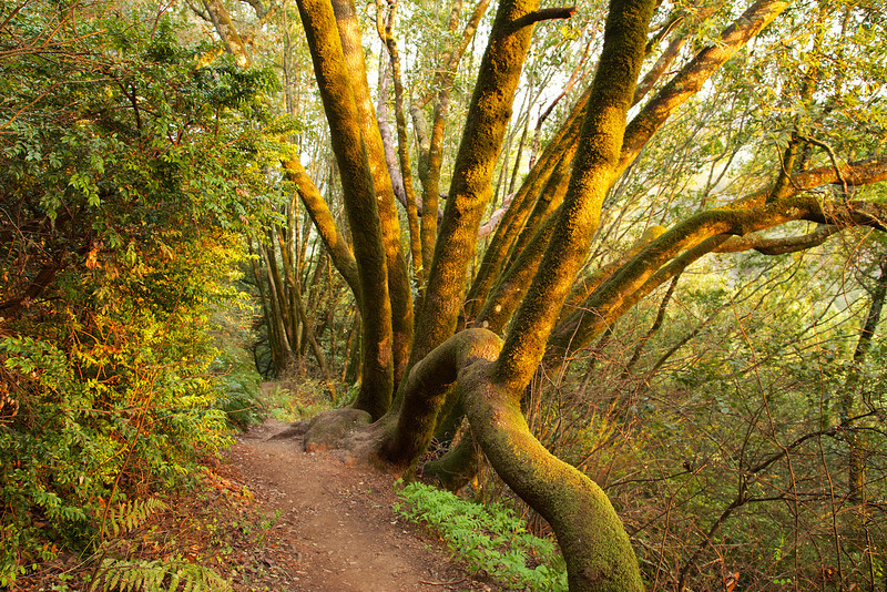
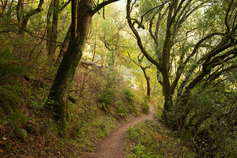
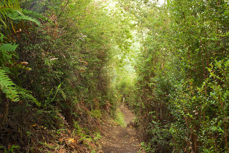
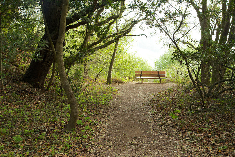
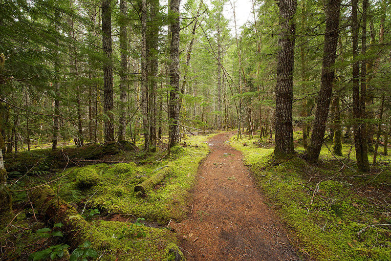
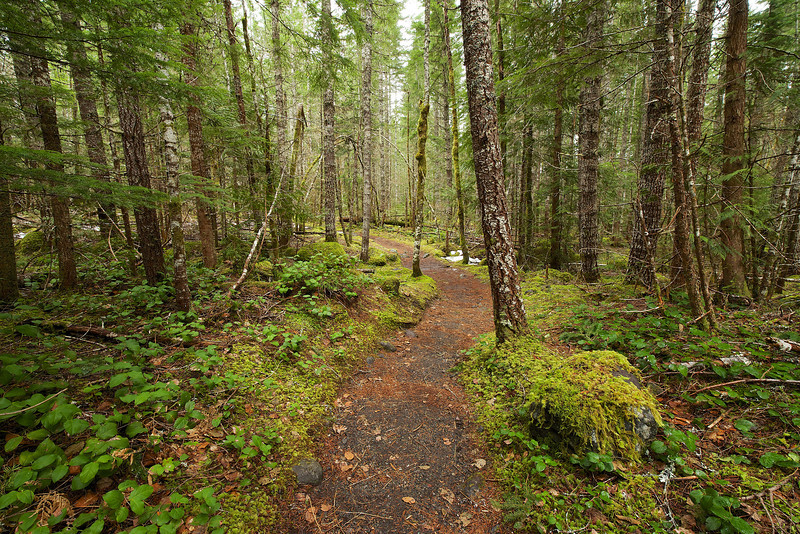
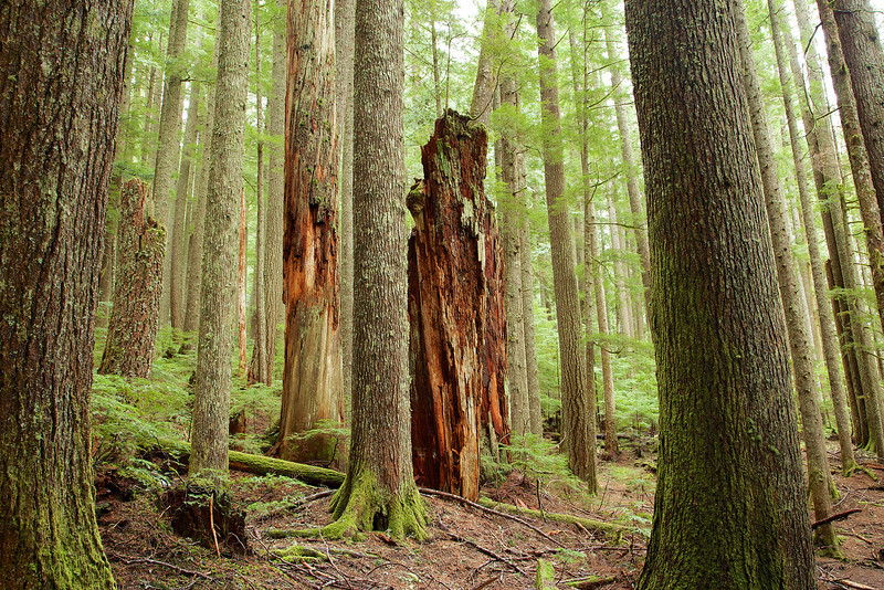
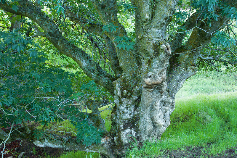
The trail winds through a patch of gnarly Buckeyes.
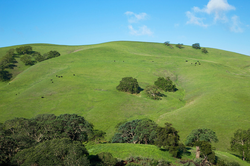
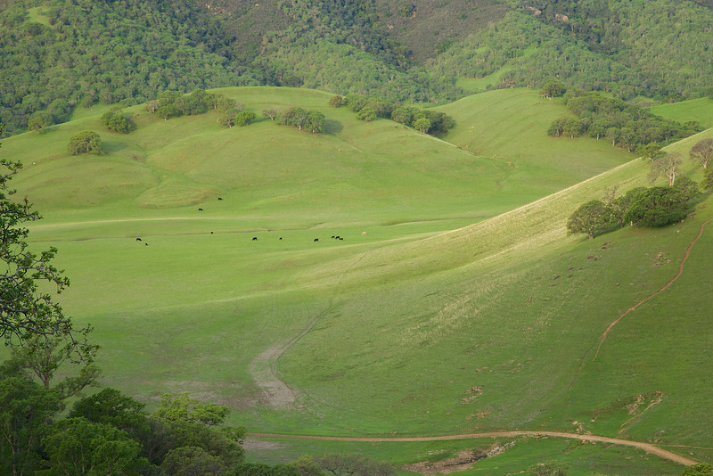
Cows graze on the rolling hills around the property.