

People have been enjoying and hiking around Mt. Tamalpais since trails were first developed here in 1884. There is such a variety of plant and animal life that pleasant surprises seem to be around every corner. You can find hilly grassland on the coastal trails, hike through oak covered hillsides, and wander through forests of Douglas fir and redwoods.
Friends of Mt. Tam (Trail and camping information, hikes, activities, maps, etc.)
This hike was originally planned to incorporate a long stretch of the Bootjack Trail, but it was closed for repairs. The loop I ended up taking led me to a bench overlooking the ocean, dedicated to military veterans. This loop is a roundabout way to get to the bench. For a more direct and handicap accessible route, take the Old Mine trail from the Pantoll Ranger Station.
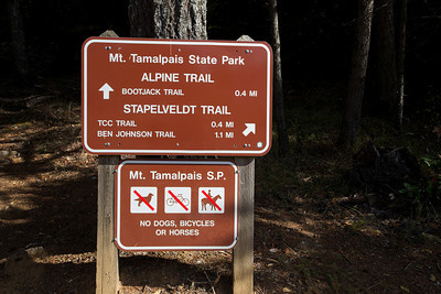
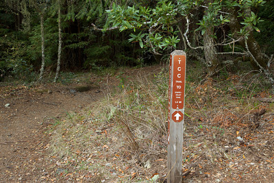
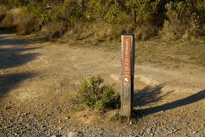
Starting out at the Pantoll Ranger Station, you'll see this sign as you begin the hike on the Alpine Trail.
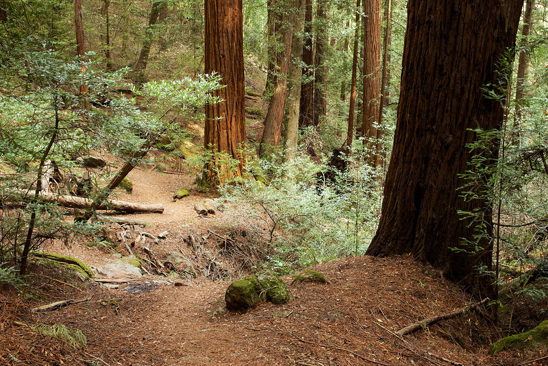
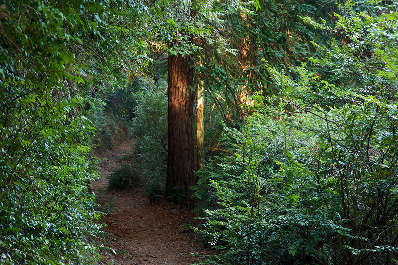
The Alpine Trail runs along the Panoramic Highway, so you may hear traffic as you hike this part of the loop. There were lots of interesting exposed roots, but the streams that should be flush with water this time of year were a trickle at best.

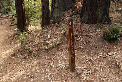
At .41 miles take a right on to Bootjack trail. This part of the Bootjack Trail is open.
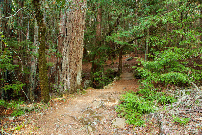
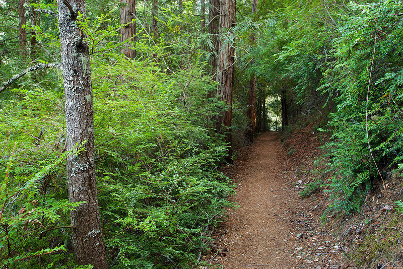
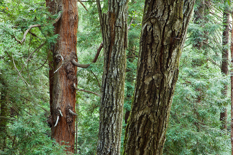
On the Bootjack Trail, you'll hike deeper in to redwood groves, and enjoy a nice variety of moss covered trees.


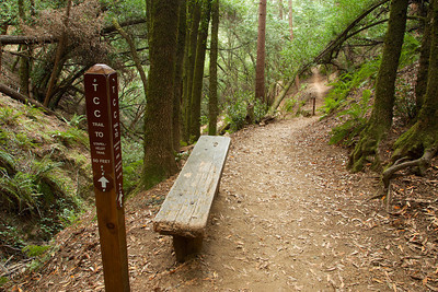
At .6 miles, cross a bridge that should have a running stream below it. At .64, enjoy a nice bench next to a young redwood grove and continue to VanWyck Meadow.
At .72 you'll encounter a beautiful collection of moss covered giant boulders. The light here was too bright for photographs, so you'll just have to see them in person.
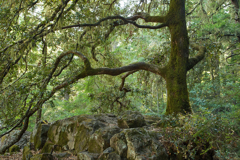
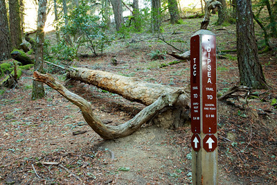
You'll reach Van Wyck Meadow at .75 miles. This part of the Bootjack Trail is currently closed for repairs. I took a right on to the T.C.C. Trail, not before admiring this beautiful Oak.
Here, go right on to the T.C.C trail toward the Stabelvelt Trail.
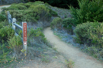
Start of the T.C.C. Trail
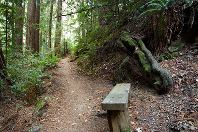
At .94 miles, you'll come across a bench near a stream. The surface of the bench doubles as a trail marker. This is a nice place to sit for a moment, and reflect. After you've enjoyed the place, continue on the T.C.C. Trail.
Trail directions on the bench

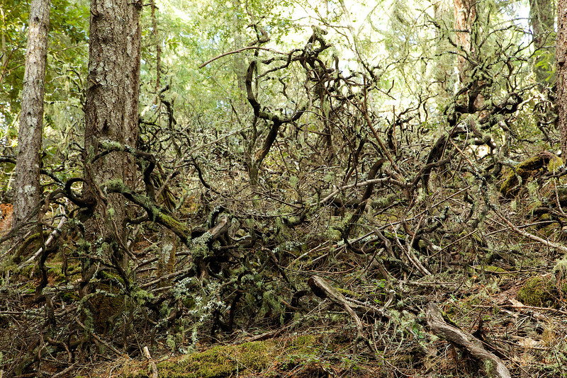
At 1.08, a hillside of dead manzanita looks like giant climbing spiders.
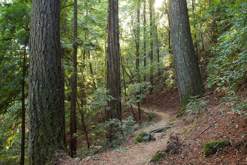
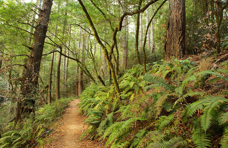
At 1.35 miles, there are some beautiful and mossy giant pines in this section, opening to groves of young redwoods.


At 1.47 miles cross another bridge. The stream was dry when I visited, but this time of year you can typically expect to see some nice streams.

A bit more vibrancy in this section, with sword ferns reaching out to tickle hiker's ankles.
At 2.41 miles, the trail splits. Stay on TCC trail, to the right. Here is another place to rest and look around.


At 2.93 miles, take a Right on to Dipsea Trail. Climb a staircase made of roots as you make your way to the ocean views.
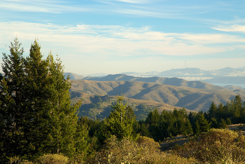
At 3.10 miles, the trail comes to a vista of the ocean. There is a working water fountain here, but don't count on it. Always bring your own water.
This sign to the Coastal Road leads up to the bench, and a trail split.
At 3.23 miles, you'll encounter the Veterans bench. It's a beautiful place to take in views of the Pacific, San Francisco and the rolling hills. Enjoy the circling hawks.

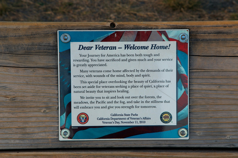
The plaque on Veteran's bench
Just down the hill from the bench is the Old Mine Trail. Take this trail to head back to the Pantoll Ranger Station.

Why is this trail called the Old Mine Trail? I found out by reading the sign below, located on the trail. The filled in mine entrance is just above the sign. I didn't see any gold laying around...

The hike ends at the Pantoll Ranger Station, for a total distance of 3.79 miles.
Since it was late afternoon, I decided to stick around and watch the sun set. Veteran's bench might also be a good spot for a sunset, but bring a flashlight for your walk back to the ranger station. The sunset shot below was taken above the ranger station, facing the ocean.

I took a long time on this short hike because the scenery was so beautiful. You can access Muir Woods in from the ranger station, so you have a lot of hiking options. The ranger was very helpful too. When you pay your $8 (currently) parking fee, ask the ranger for other hiking recommendations.
Be safe and prepared, and enjoy the experience.