Most people who have hiked or run trails in Northern California have heard of the Dipsea Race. This challenging 7.4 mile race starts in Mill Valley, and ends at Stinson Beach. One of the nicest sections of the race is the Dipsea Trail, between Panoramic Highway and Cardiac Hill. The route of the race passes through Cardiac Hill, and down the Dipsea to Stinson Beach. A few weeks ago, I hiked and photographed this section, starting from the trailhead at the corner of Panoramic Highway and Highway 1. This hike offers a rich and stunning canopy, dramatic views of the ocean, and full on cardio and muscular endurance training.
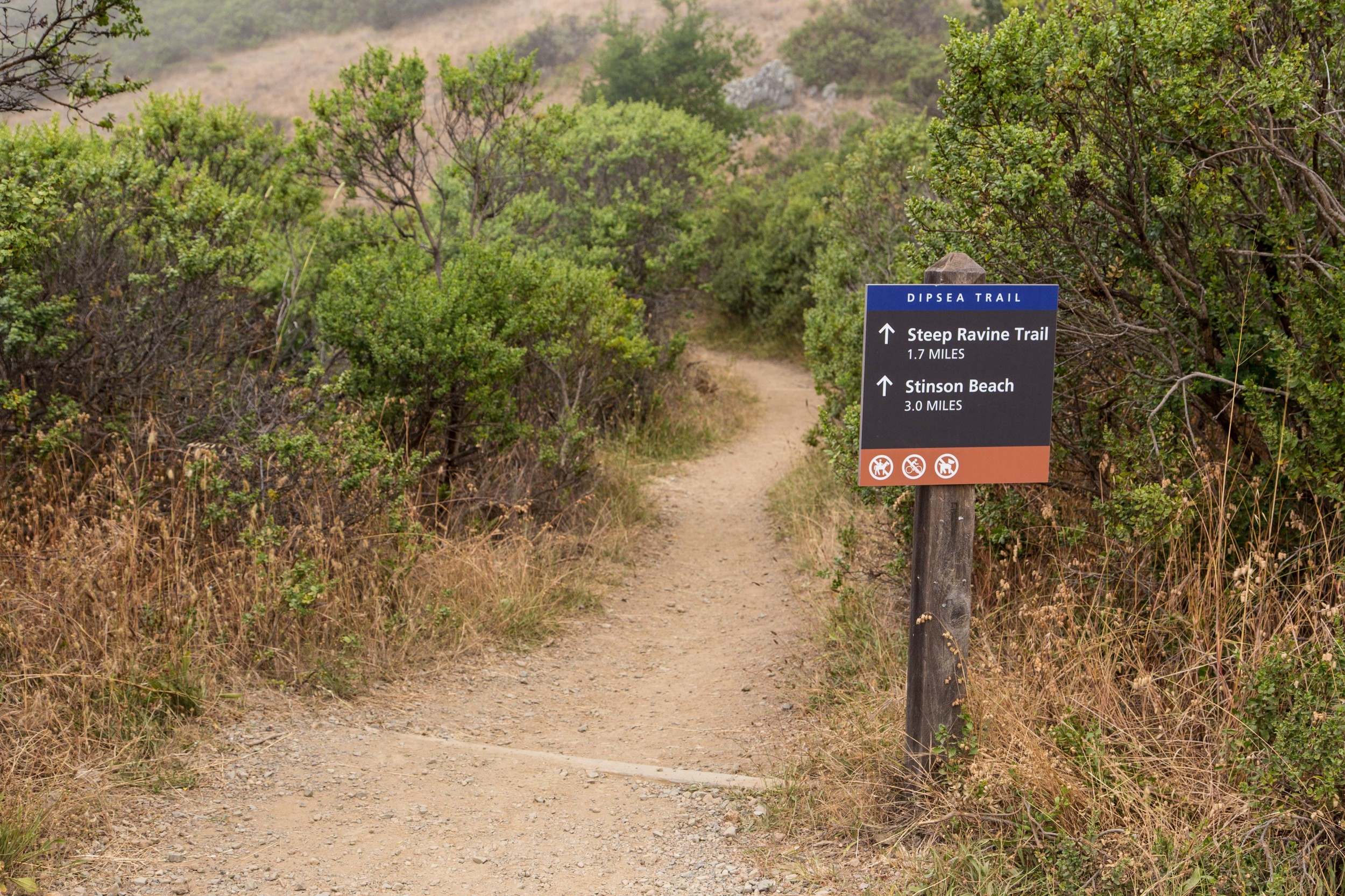
Just at the intersection of Panoramic Highway and Highway 1 is a tiny and treacherous little parking lot that eats cars with low clearance. Park here at your own risk, or drive another quarter mile below to Stinson Beach, where the parking lots often fill up early. Just across the street from the intersection of Panoramic Highway and Highway 1, you'll see this sign, which starts the hike.
This hike is a climb that will challenge you, especially if approached at a fast pace. This makes it ideal for people seeking a hike that will allow them to dump their mental detritus while their brain fills with the beauty of the forest and the pain in their legs.
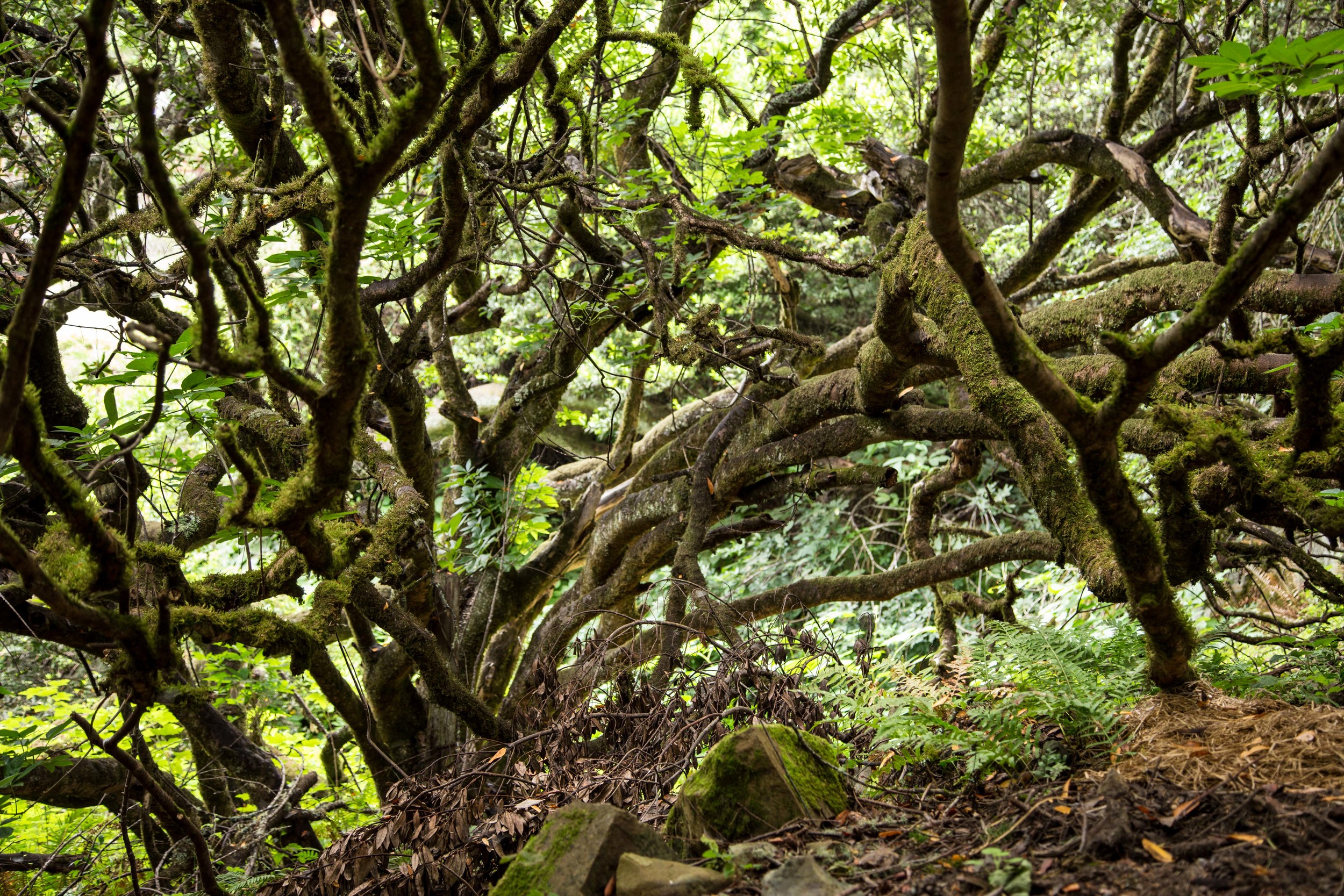
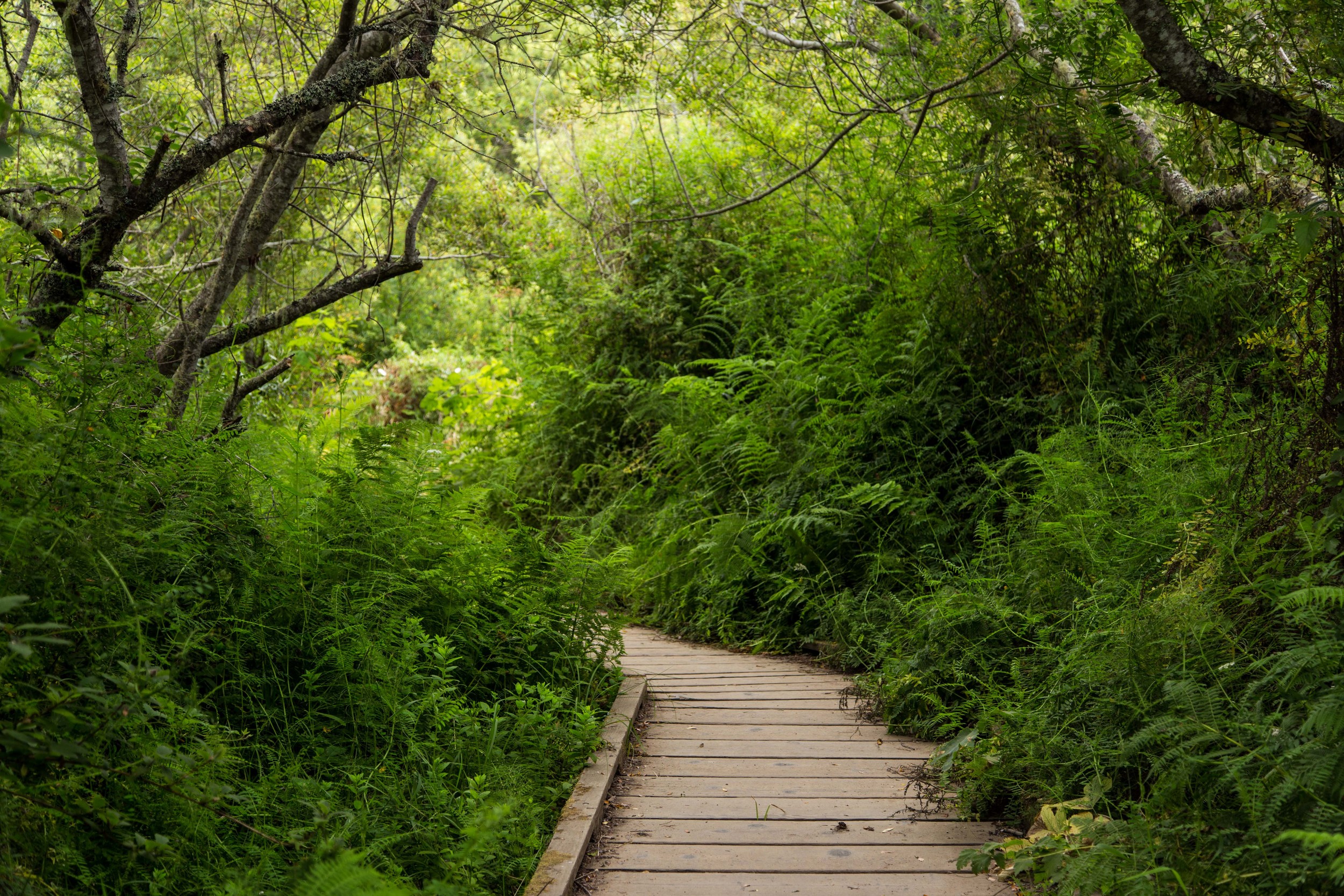
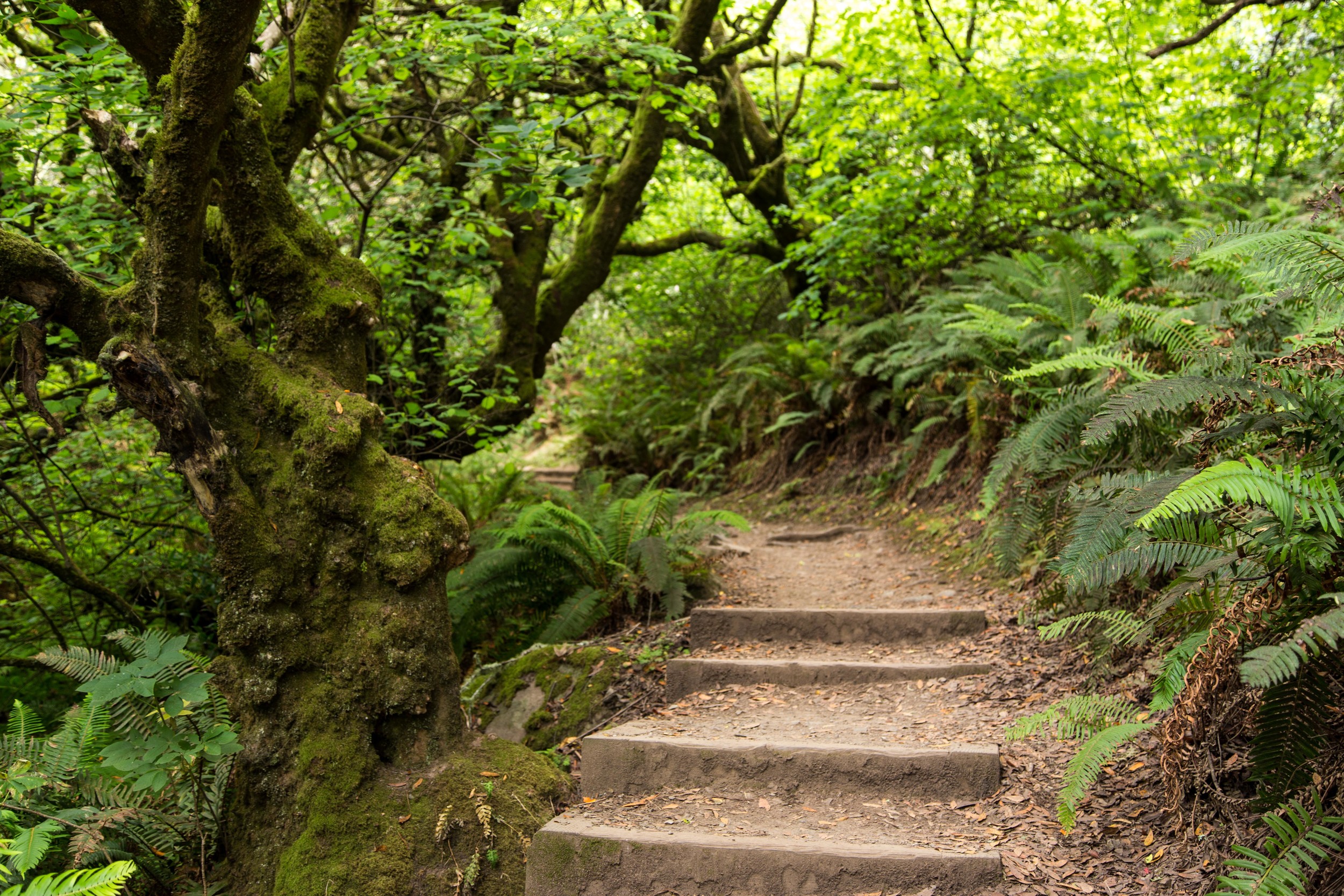
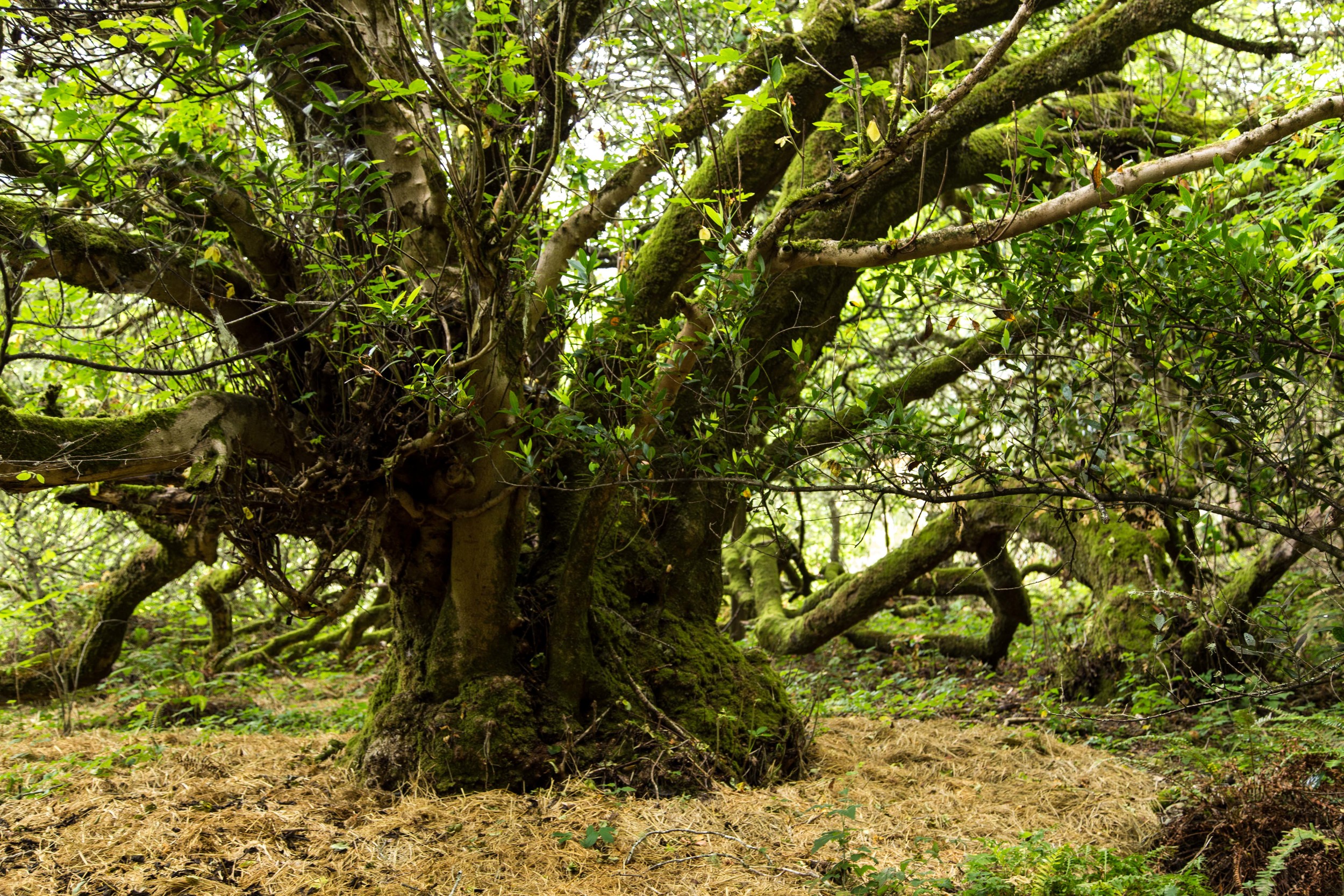
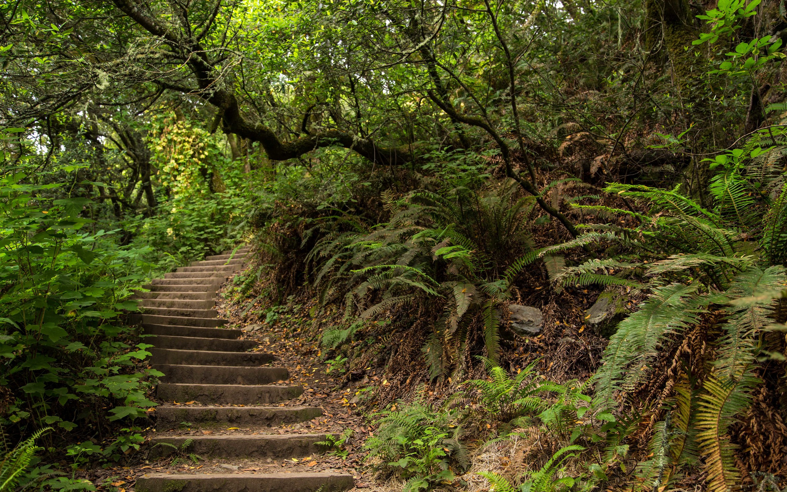
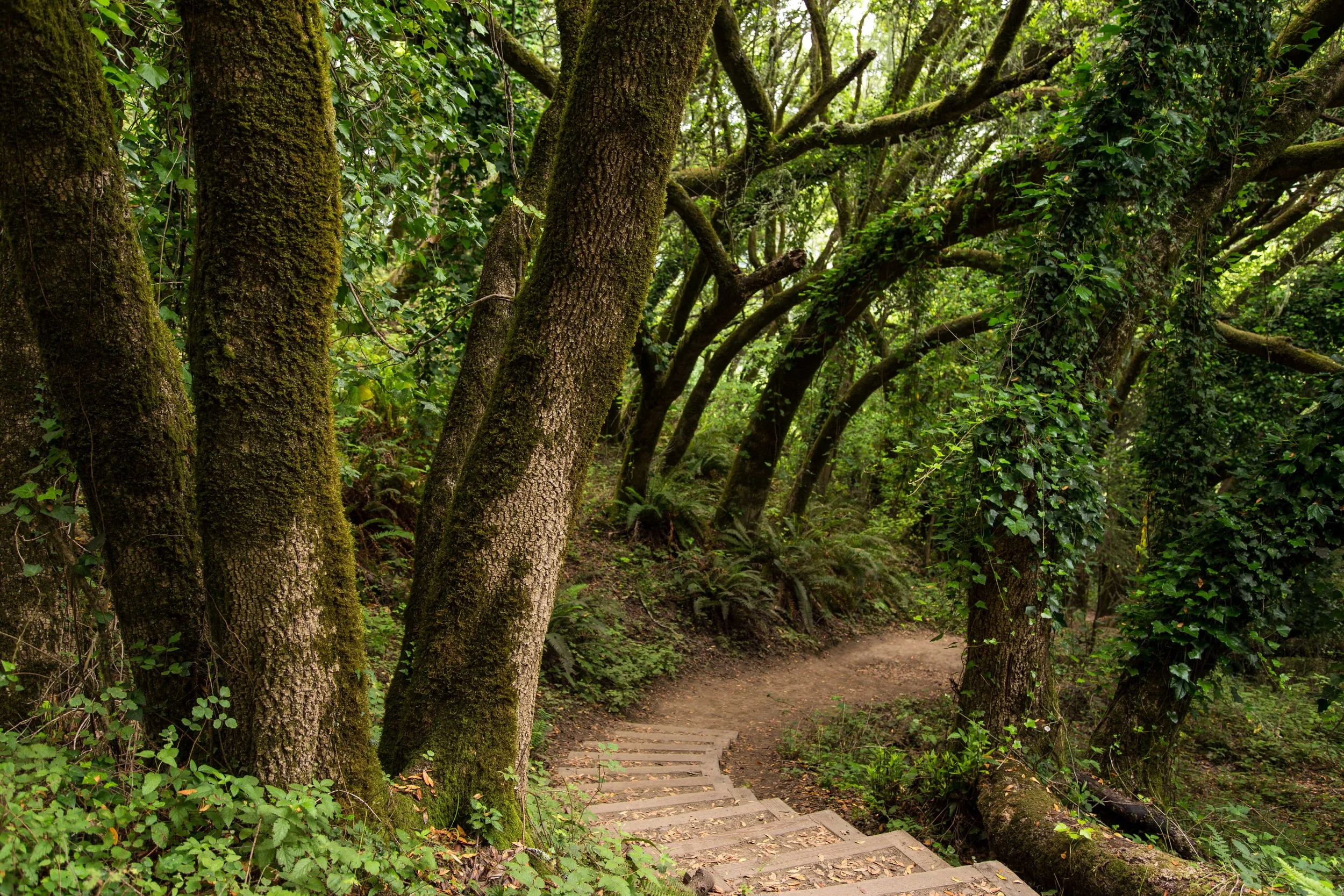
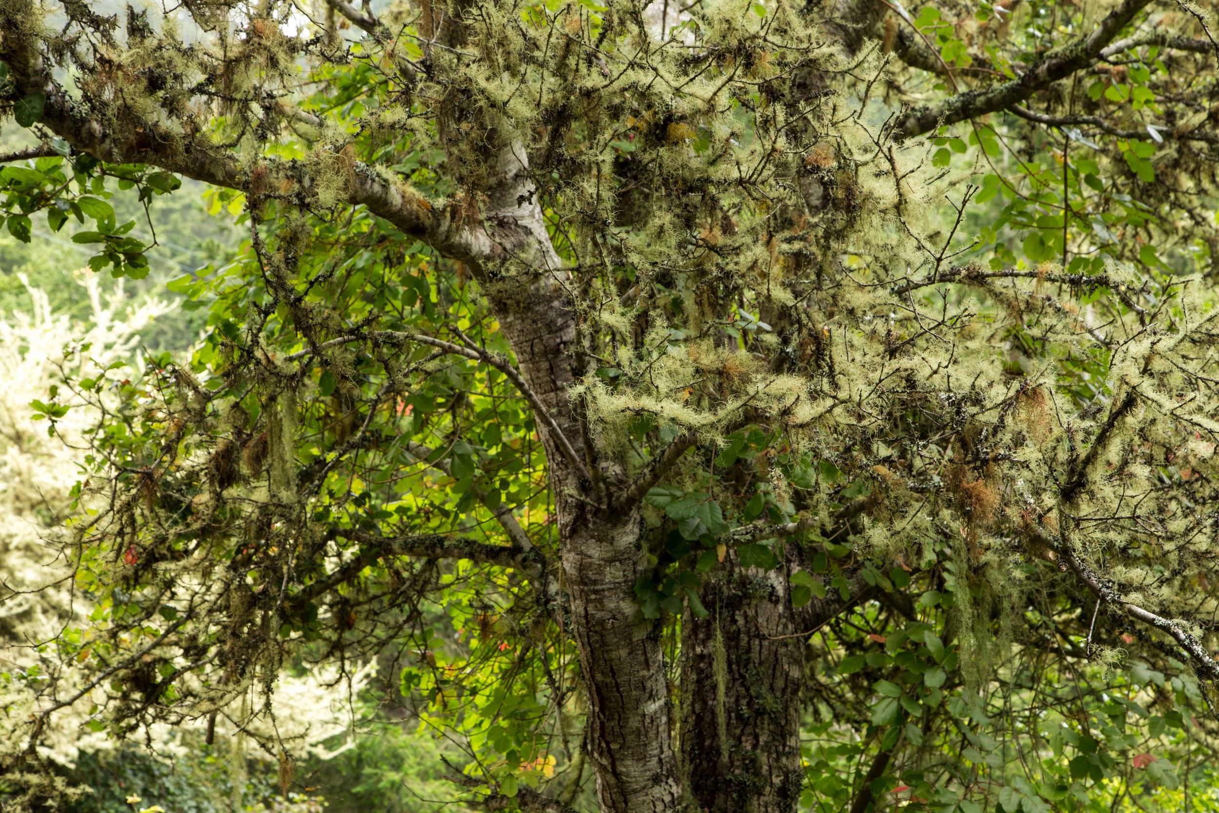
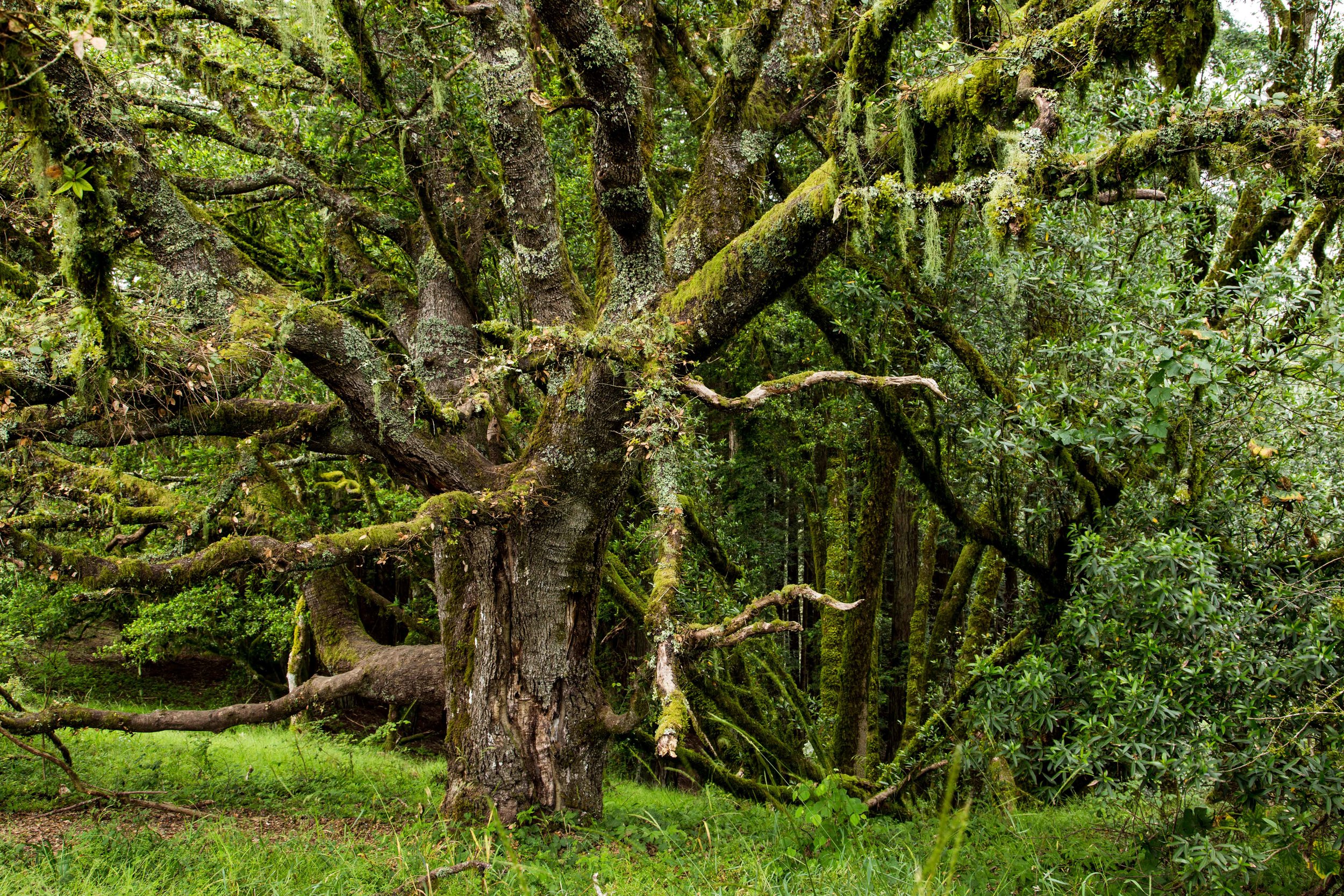
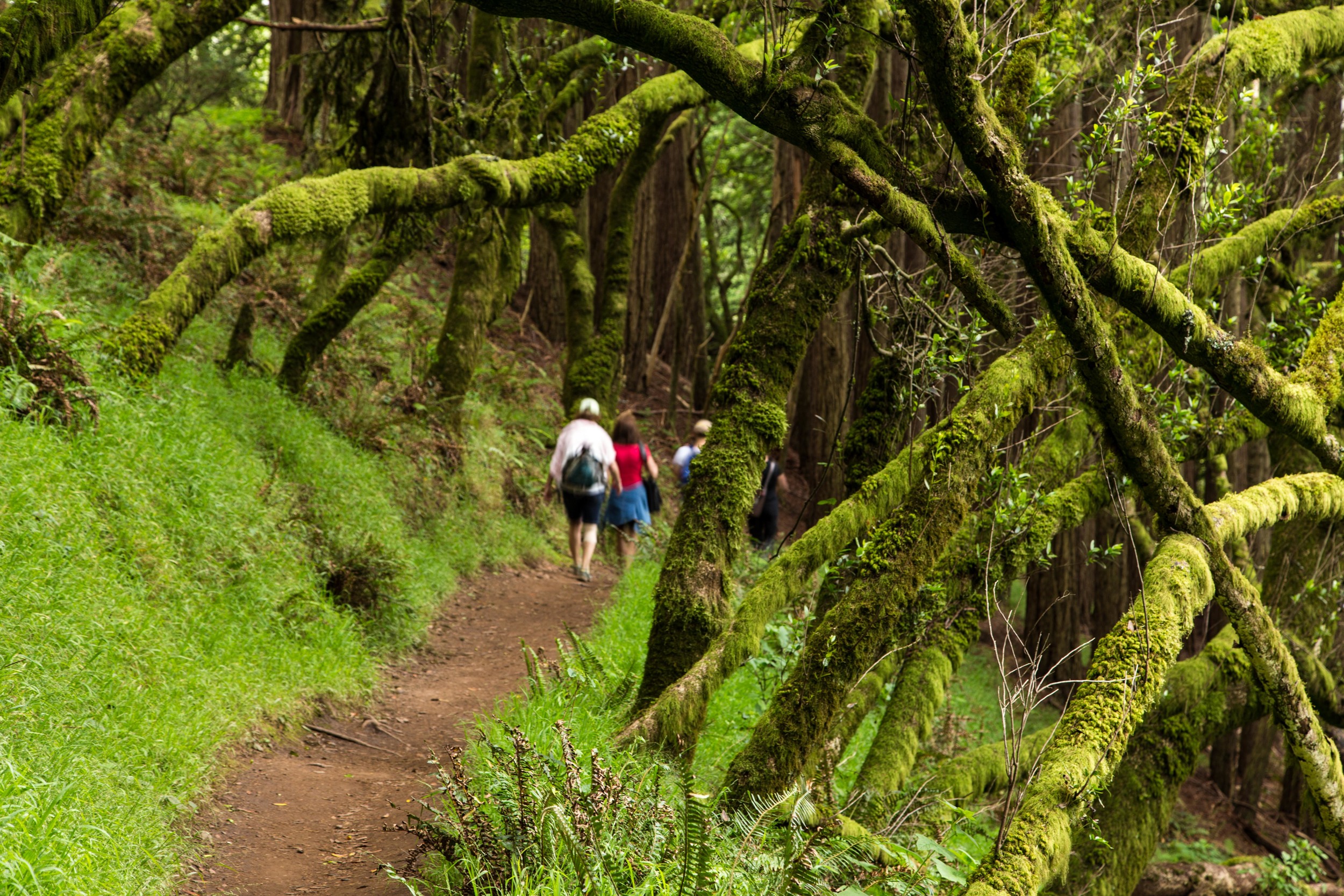
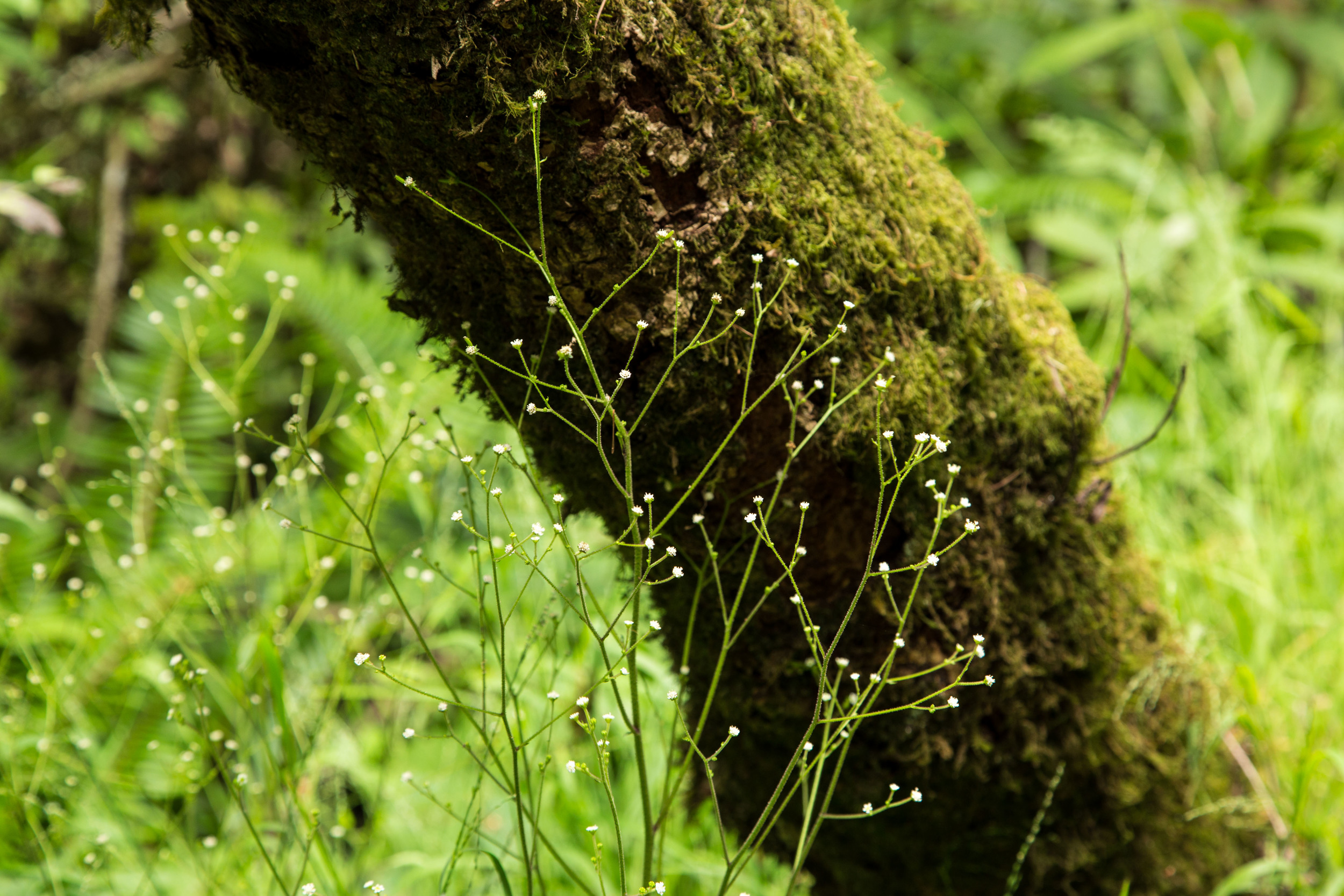
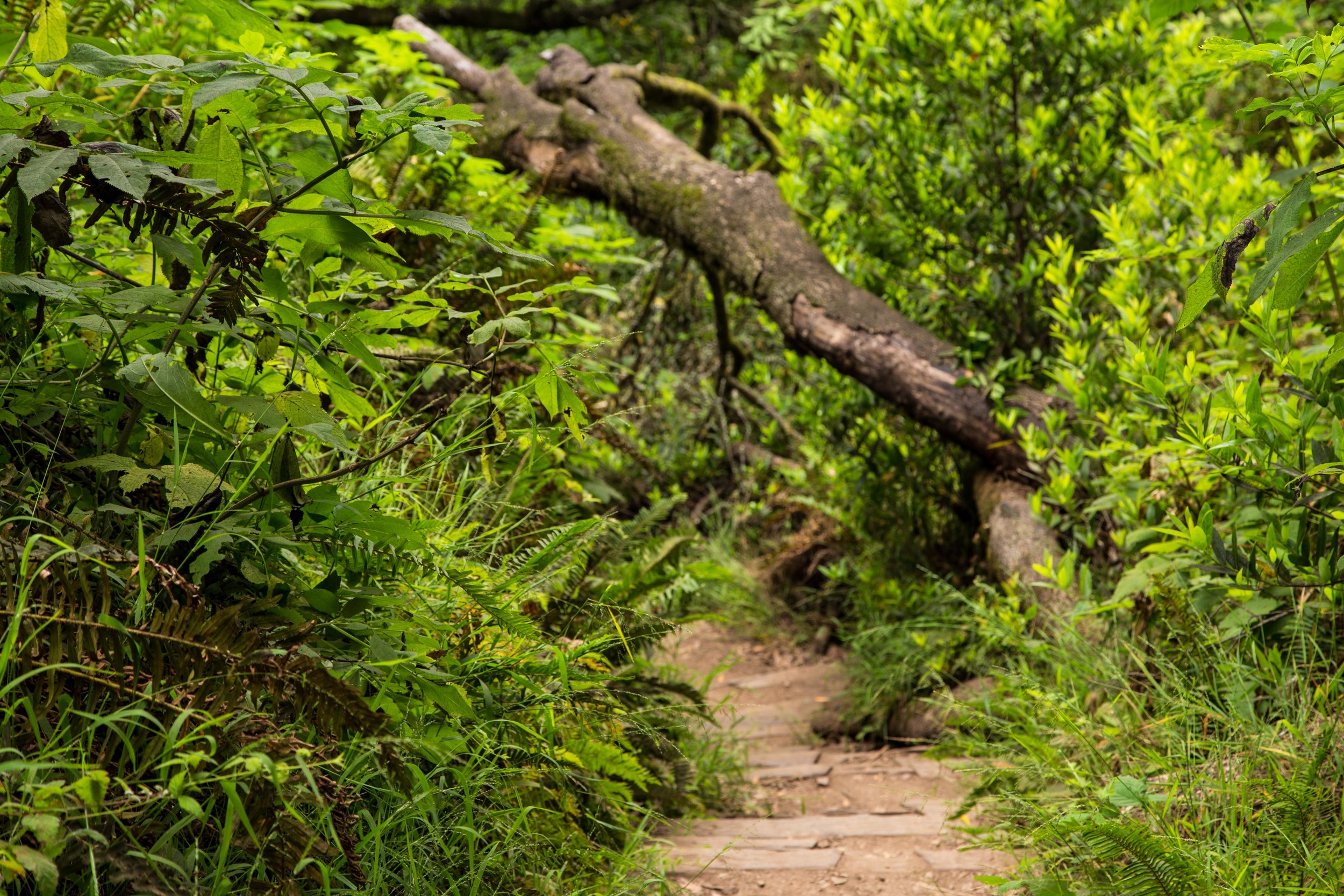
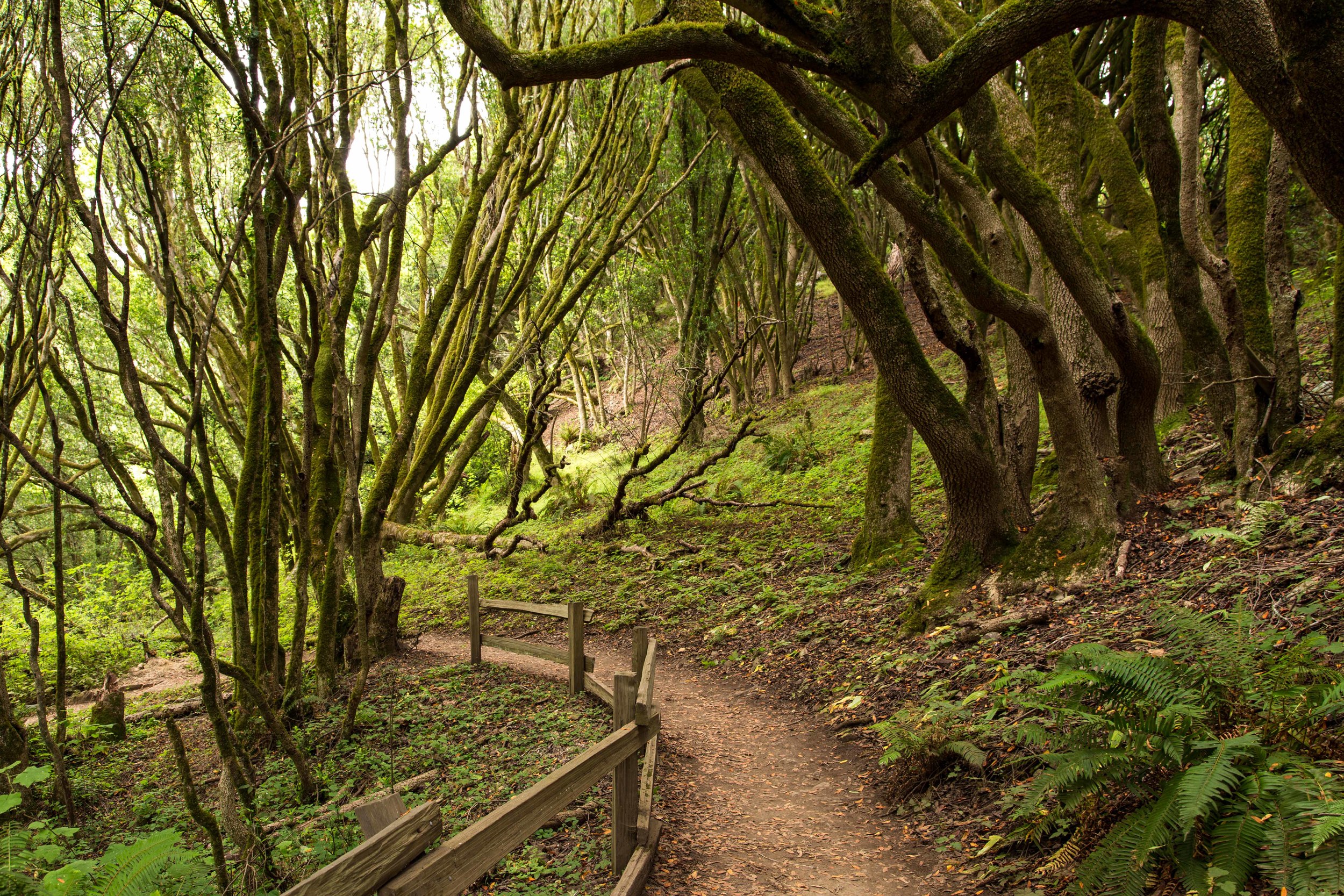
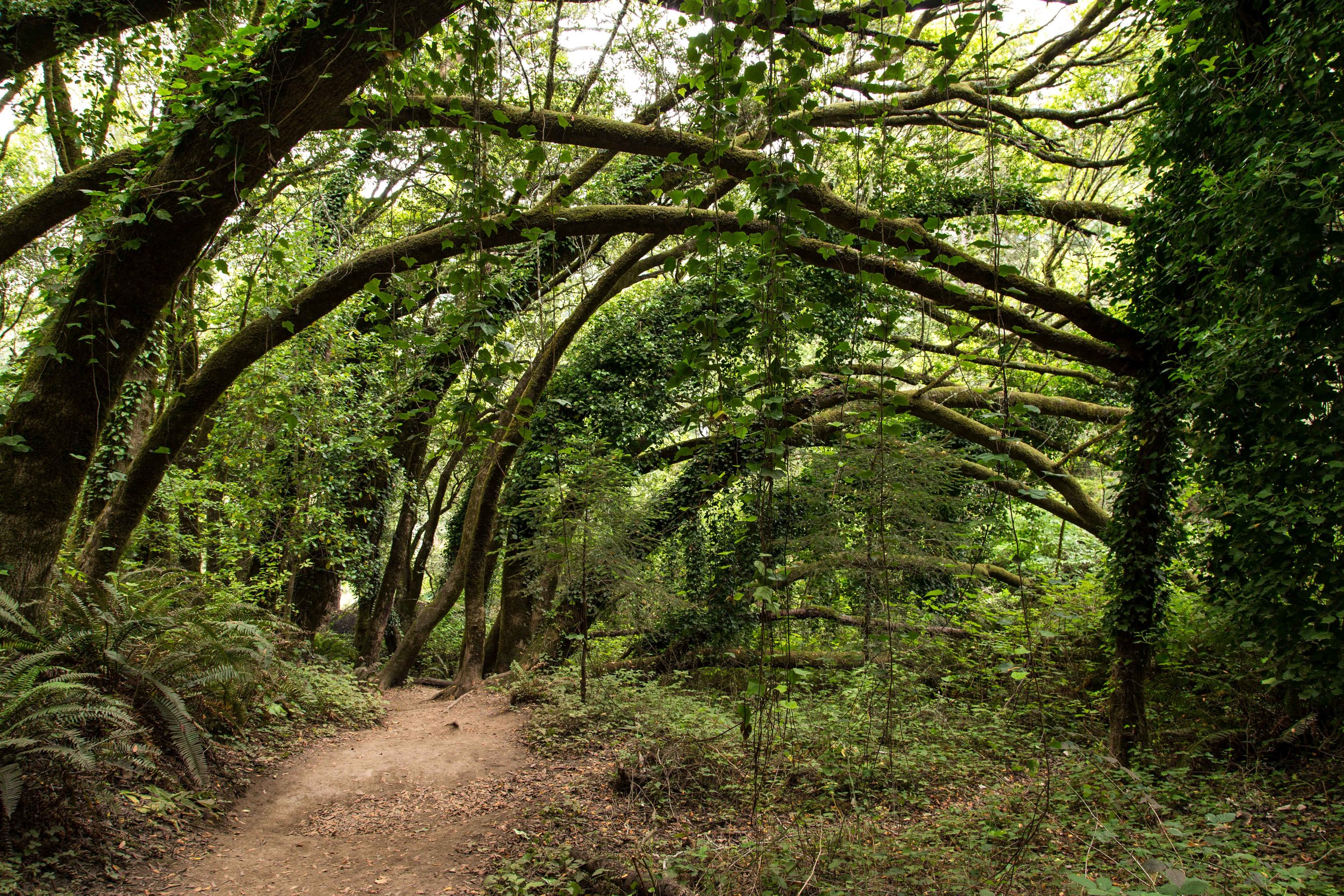
The first section of the hike begins with stairs, and climbs through a forest of tangled and twisted bays and oaks costumed with moss and lichen and posing as nature's runway models. Dusty sword ferns reach out to tickle hiker's ankles, and poison oak is weaved heavily throughout the underbrush.

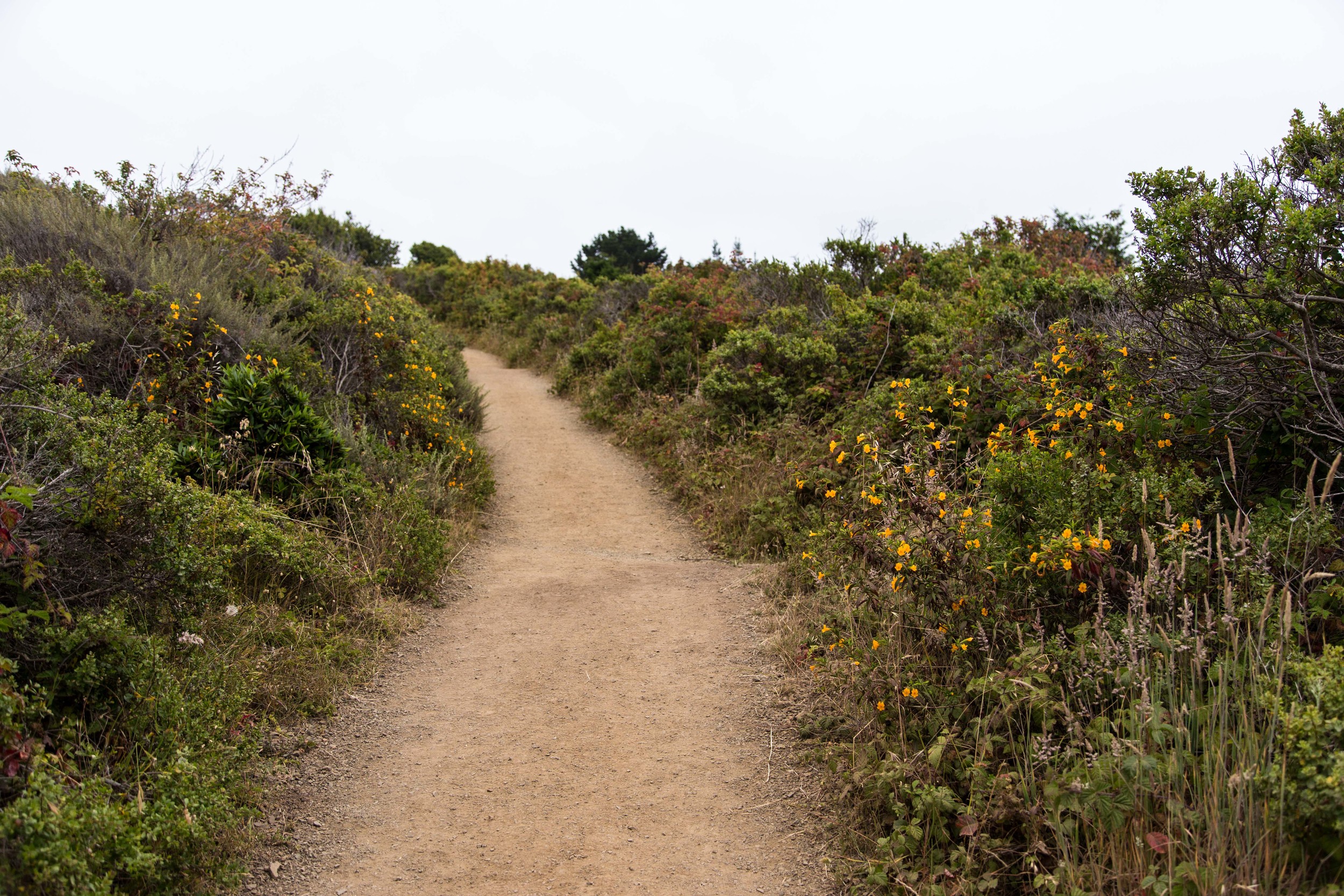
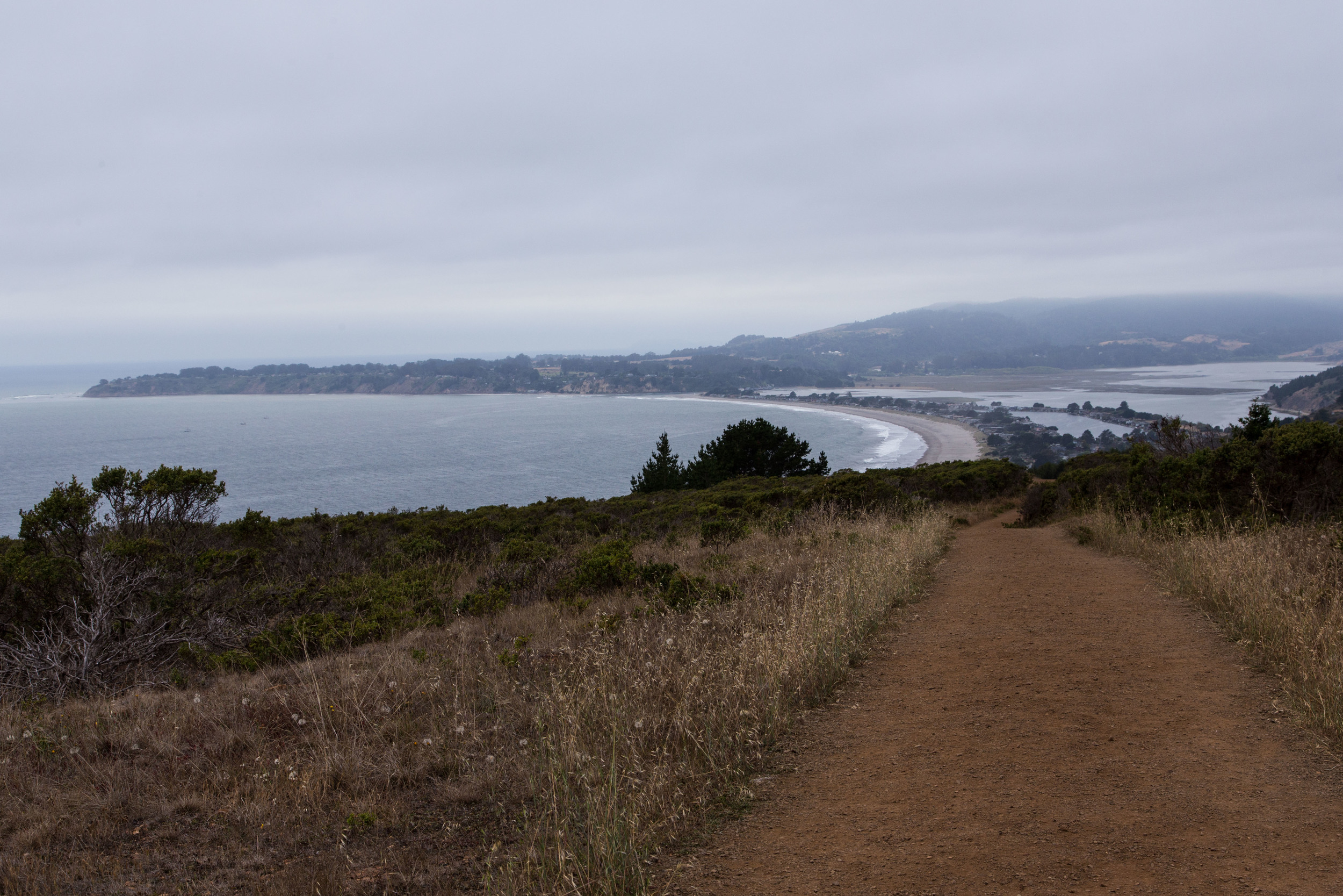
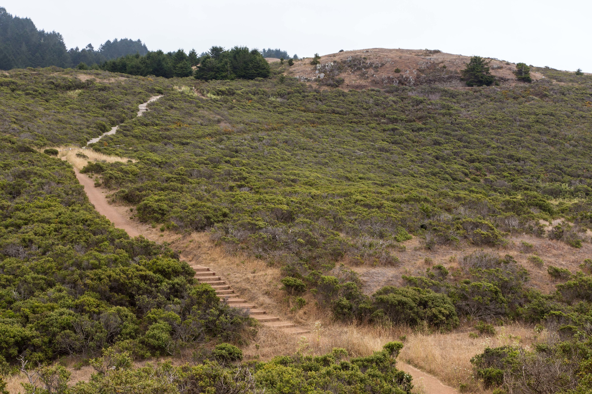
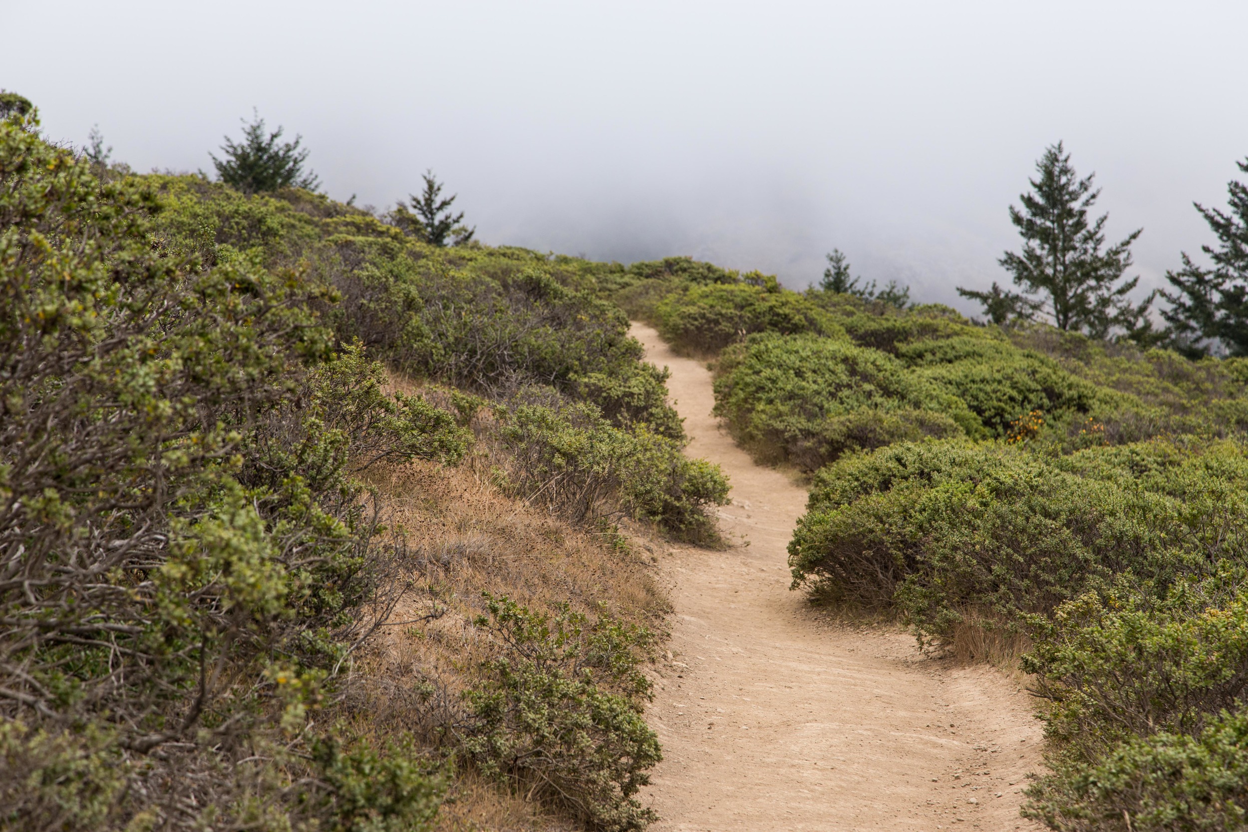
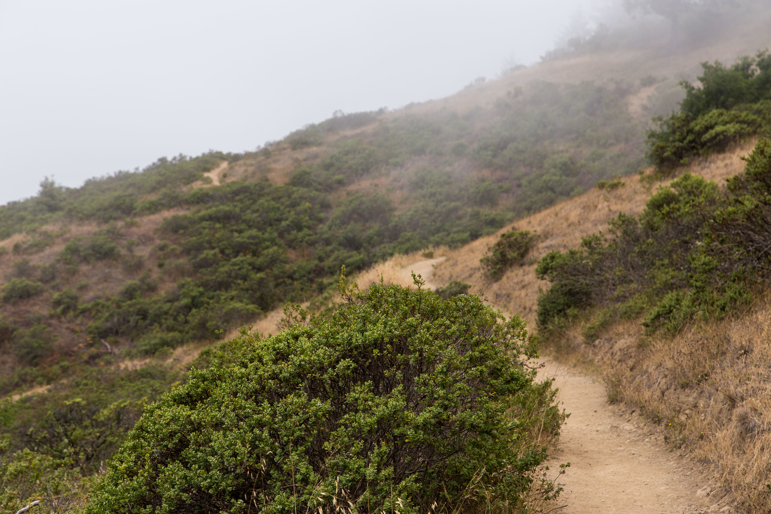
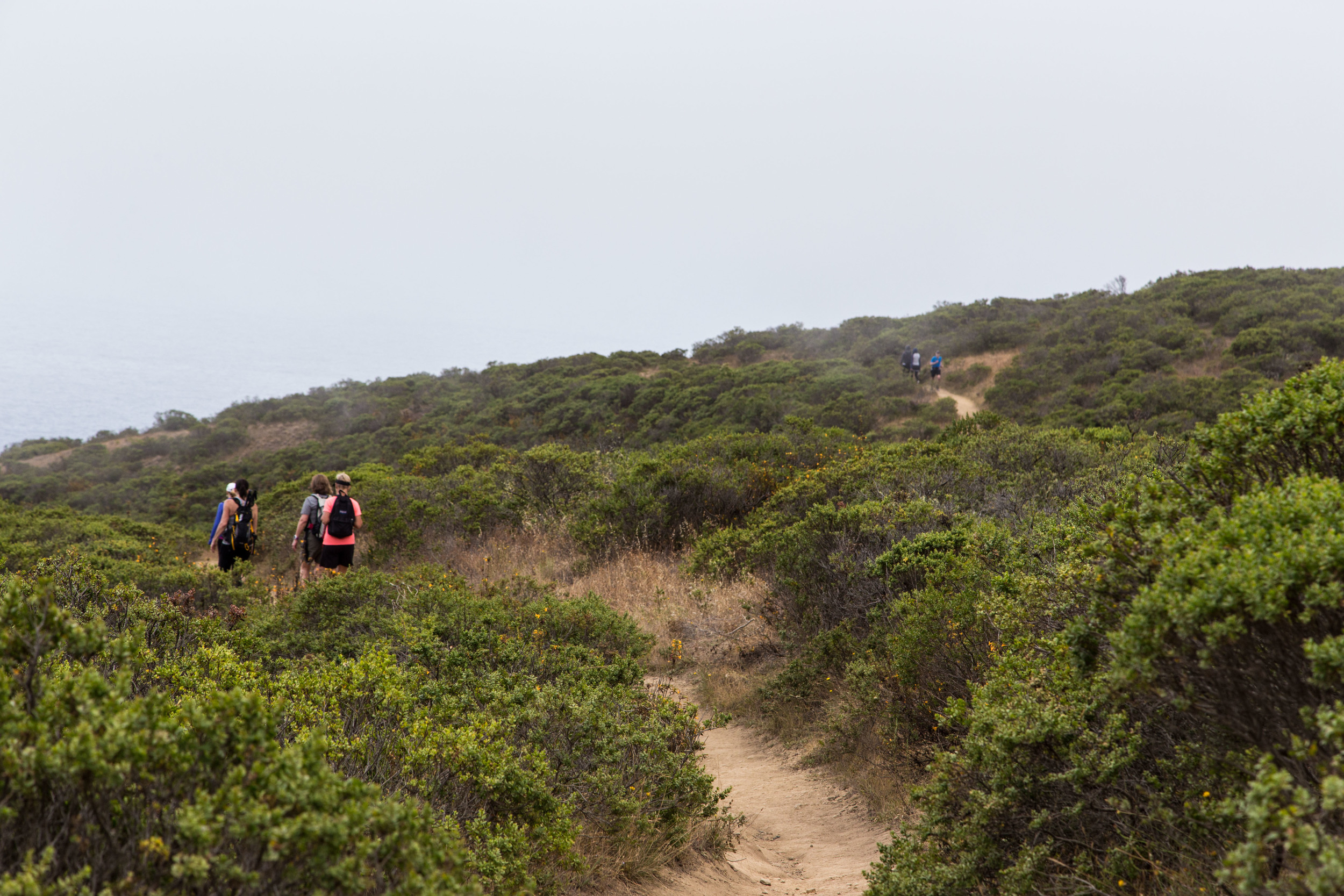
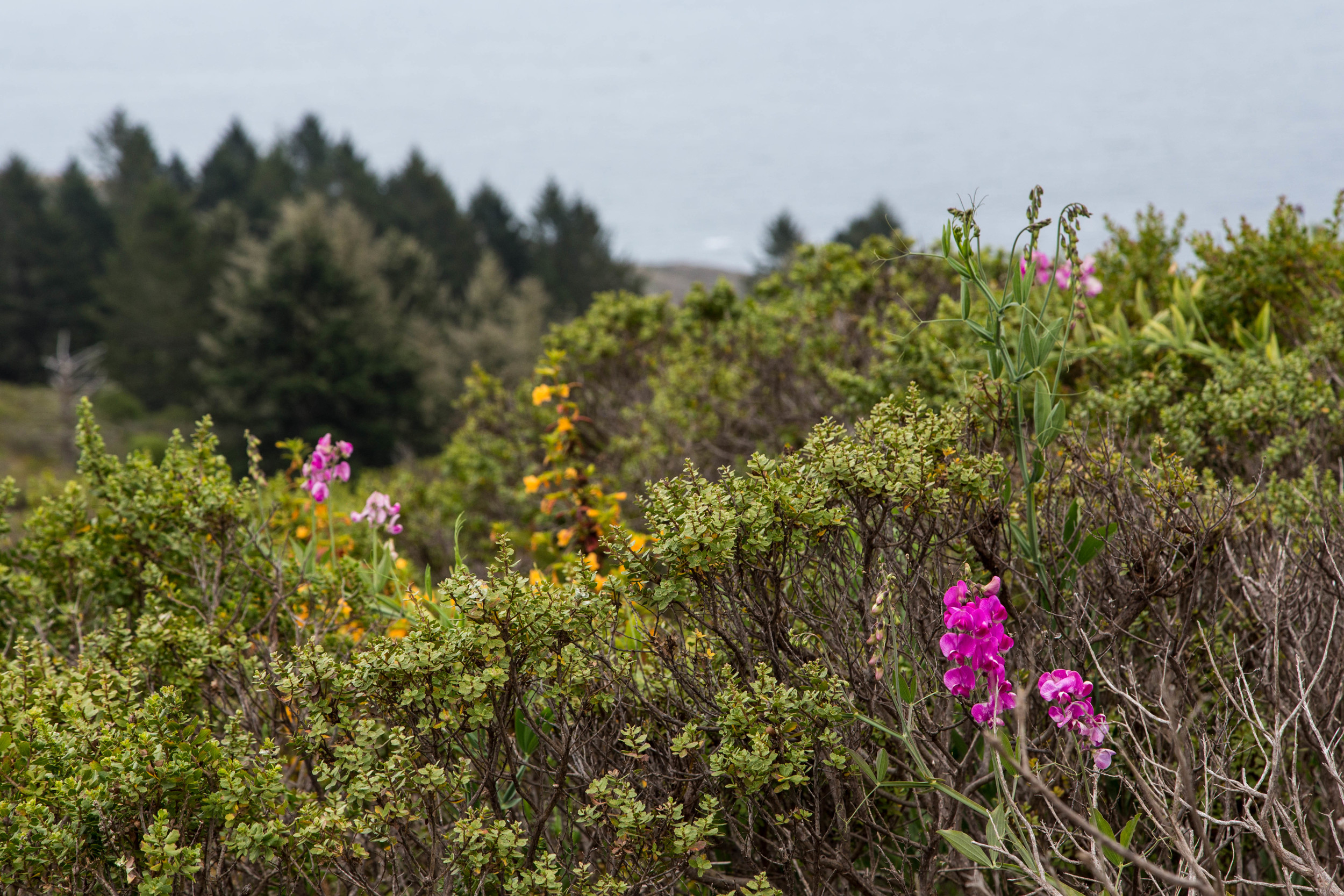
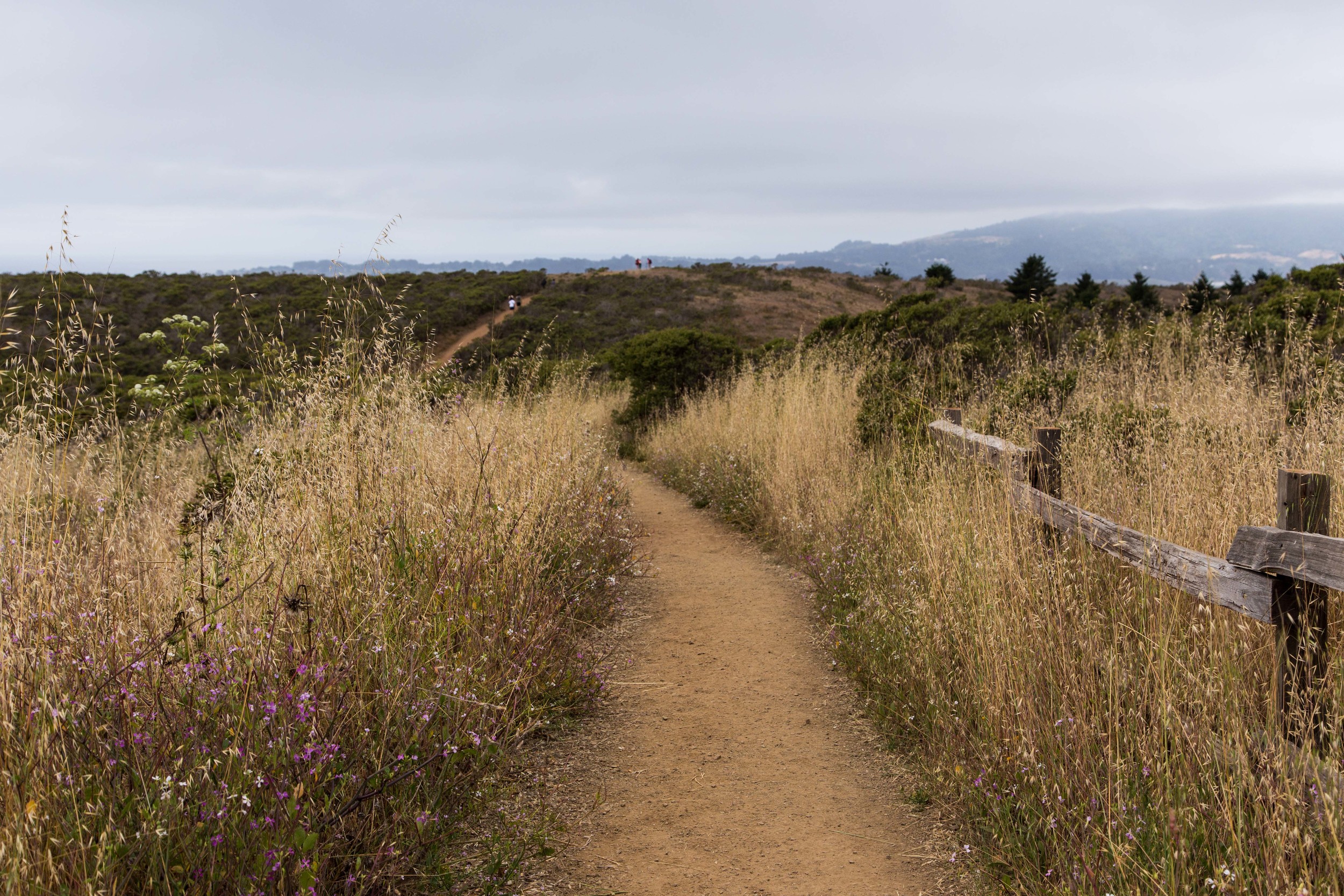
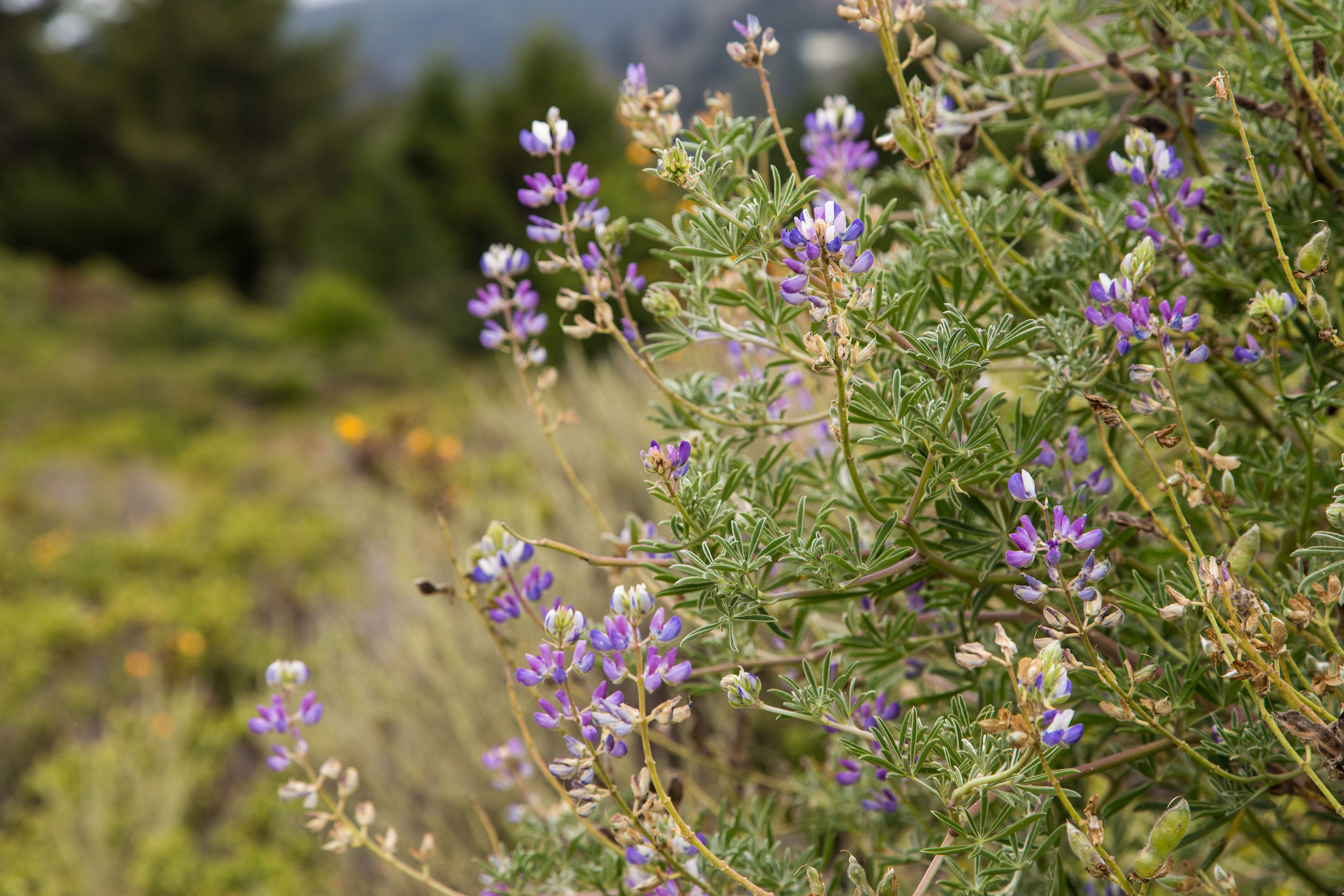
A little past a half mile in, the trail opens up, and the canopy is replaced by coastal scrub and wildflowers. The ocean mist tastes salty, and the trail widens enough for rabbits and runners to share. Clicking quail sound off along the way here, though their stealthy habits make them hard to see. Up at the split, about 1.25 miles in, stay straight and continue on the Dipsea Trail.
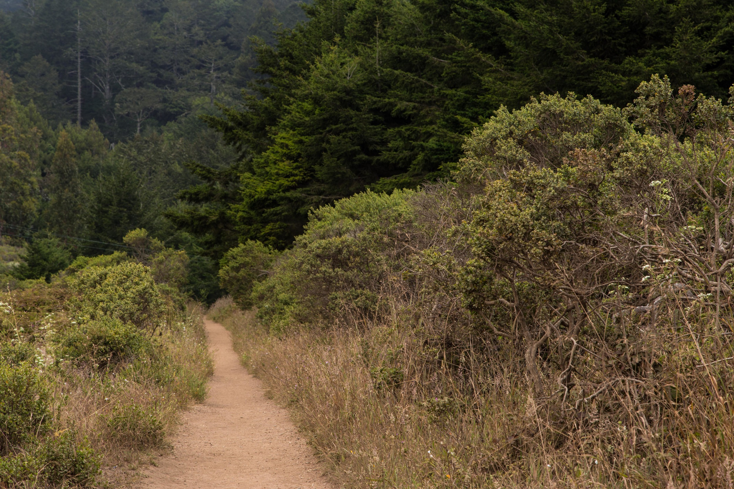
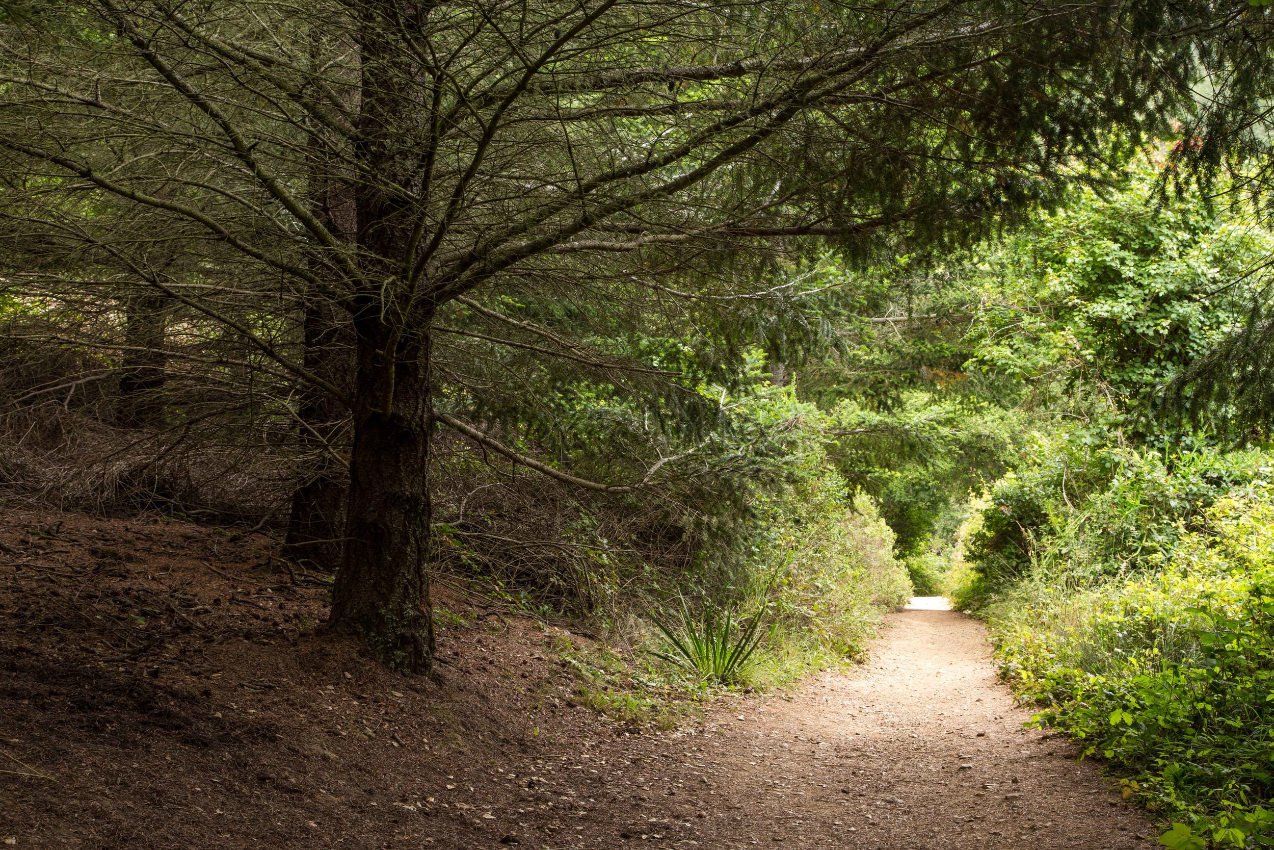
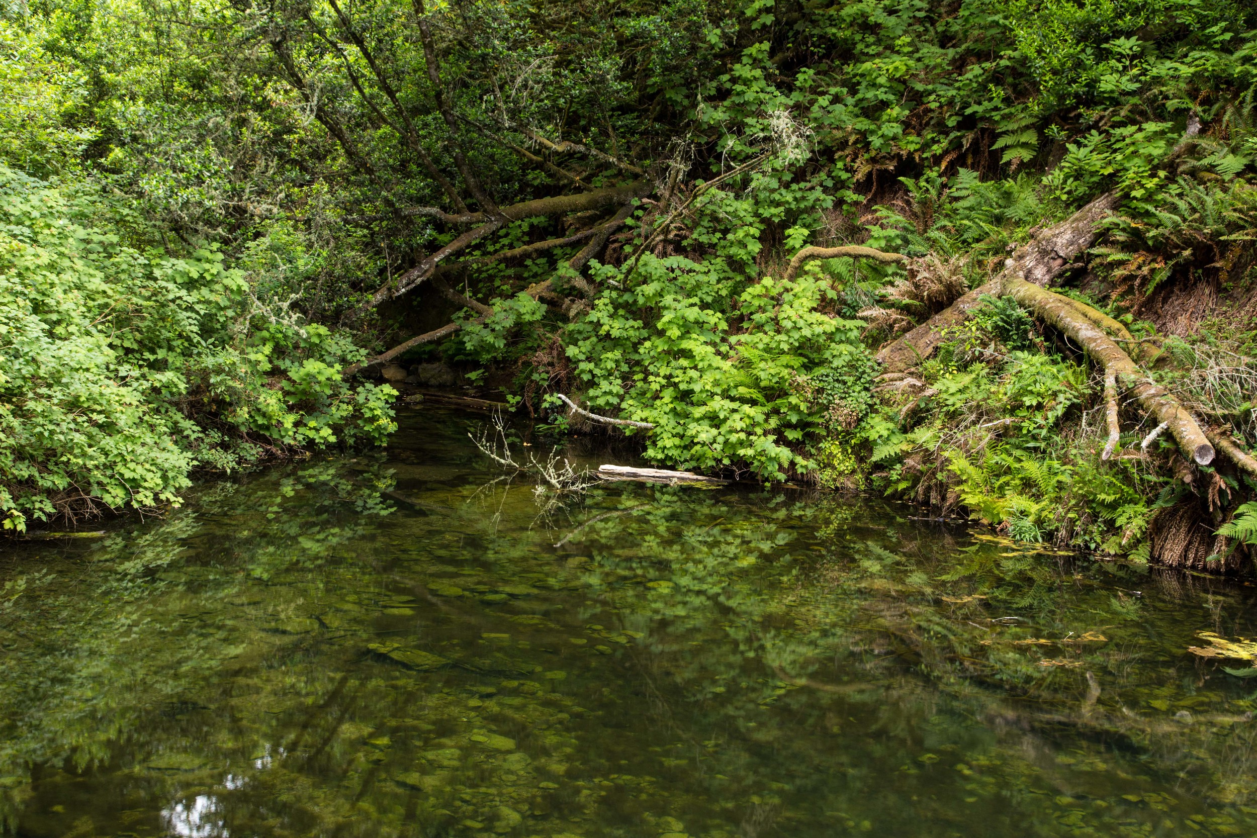
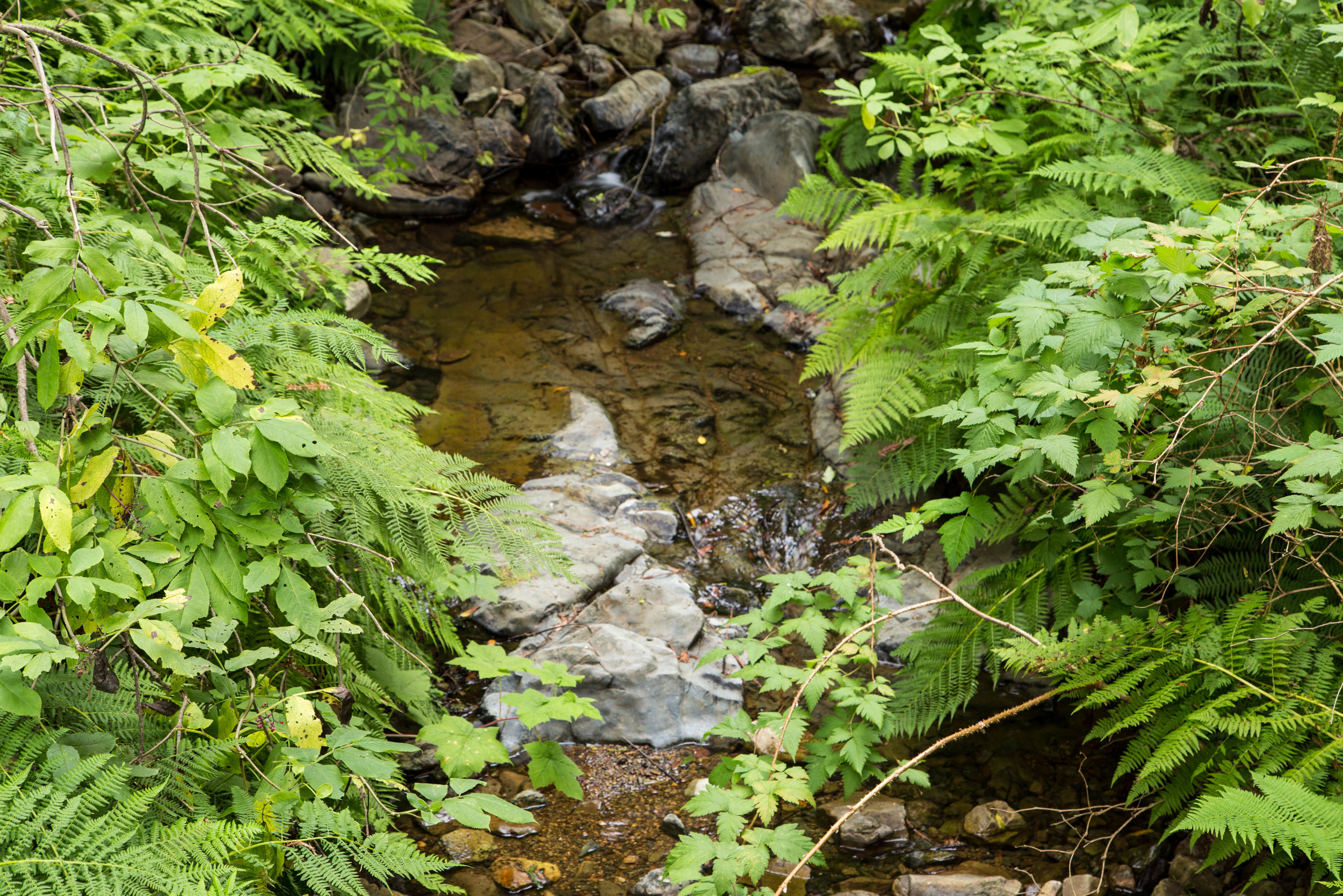
The trail turns woodsy again here. At about 1.4 miles, continue right onto the Dipsea Trail, and then follow the narrow single track to the left at the confusing and unmarked split. At 1.5 miles continue left on the Dipsea/Steep Ravine Trail. There is a little pond here, with tiny fish swimming around. Across the pond are a few towering redwoods; one with a fat burl bursting from its belly. The tangled bay laurels are mossy and mysterious, and seem vibrant even in the dryness of a California Summer. Continue on through the shaded trail, past the pond and to the wooden bridge. Cross at the bridge, and continue the climb.
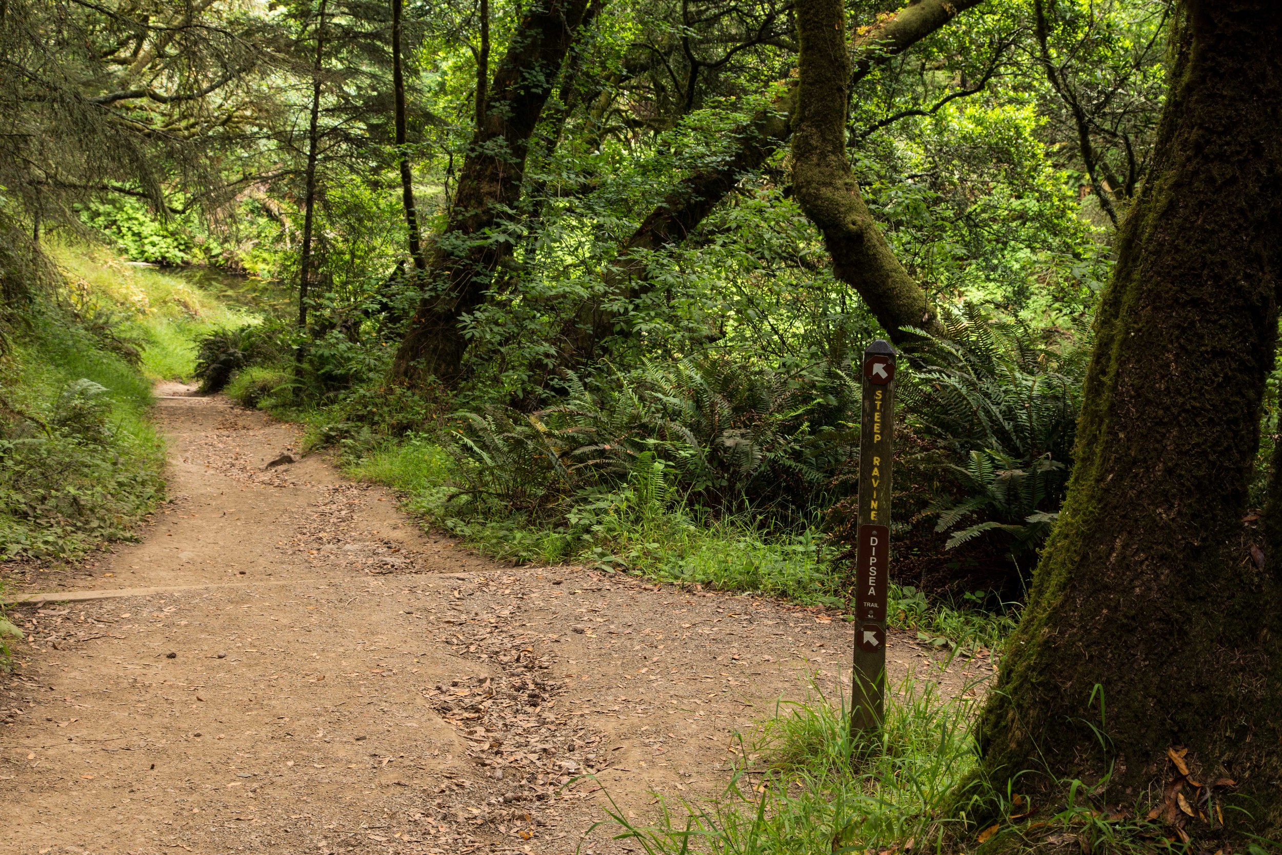
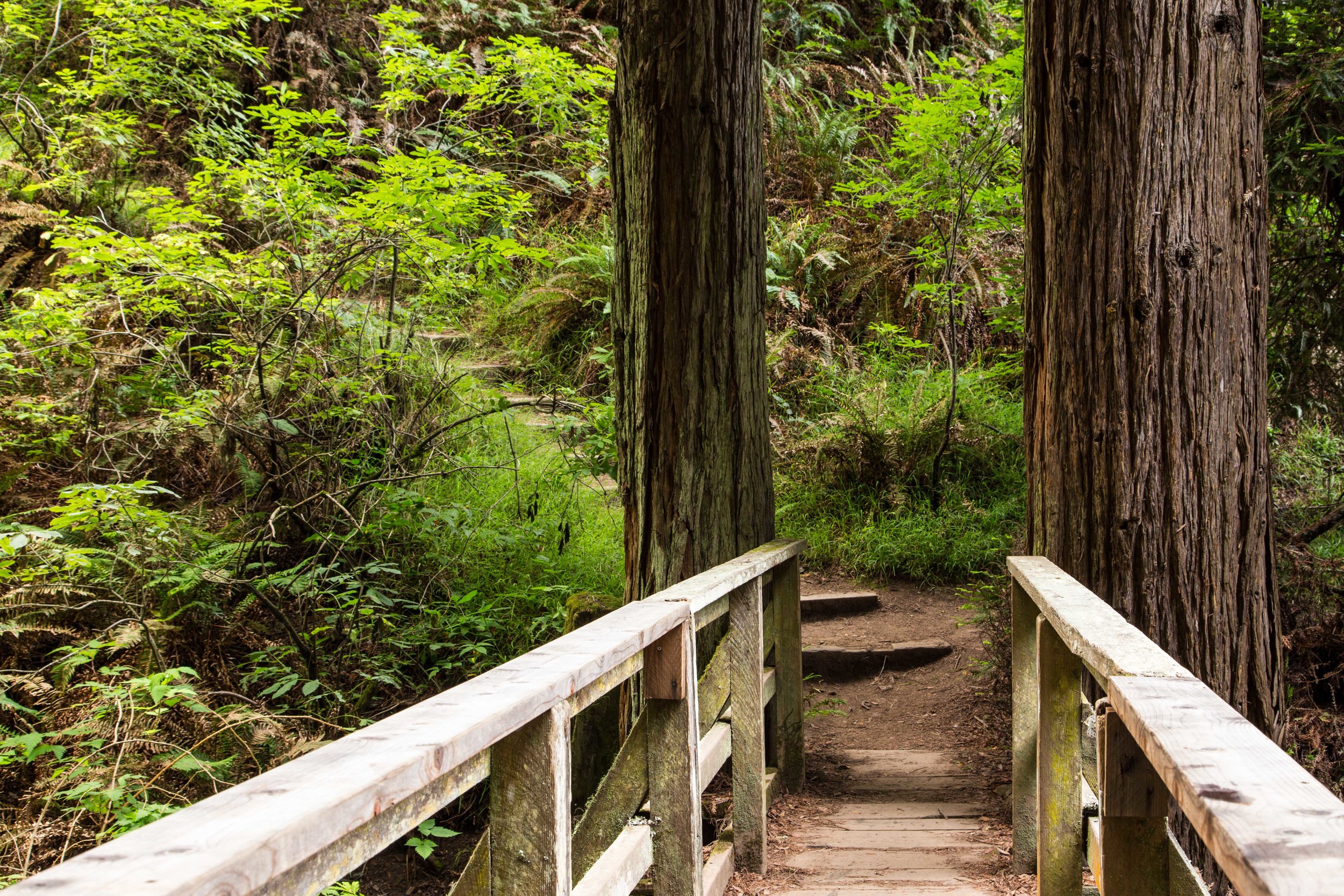
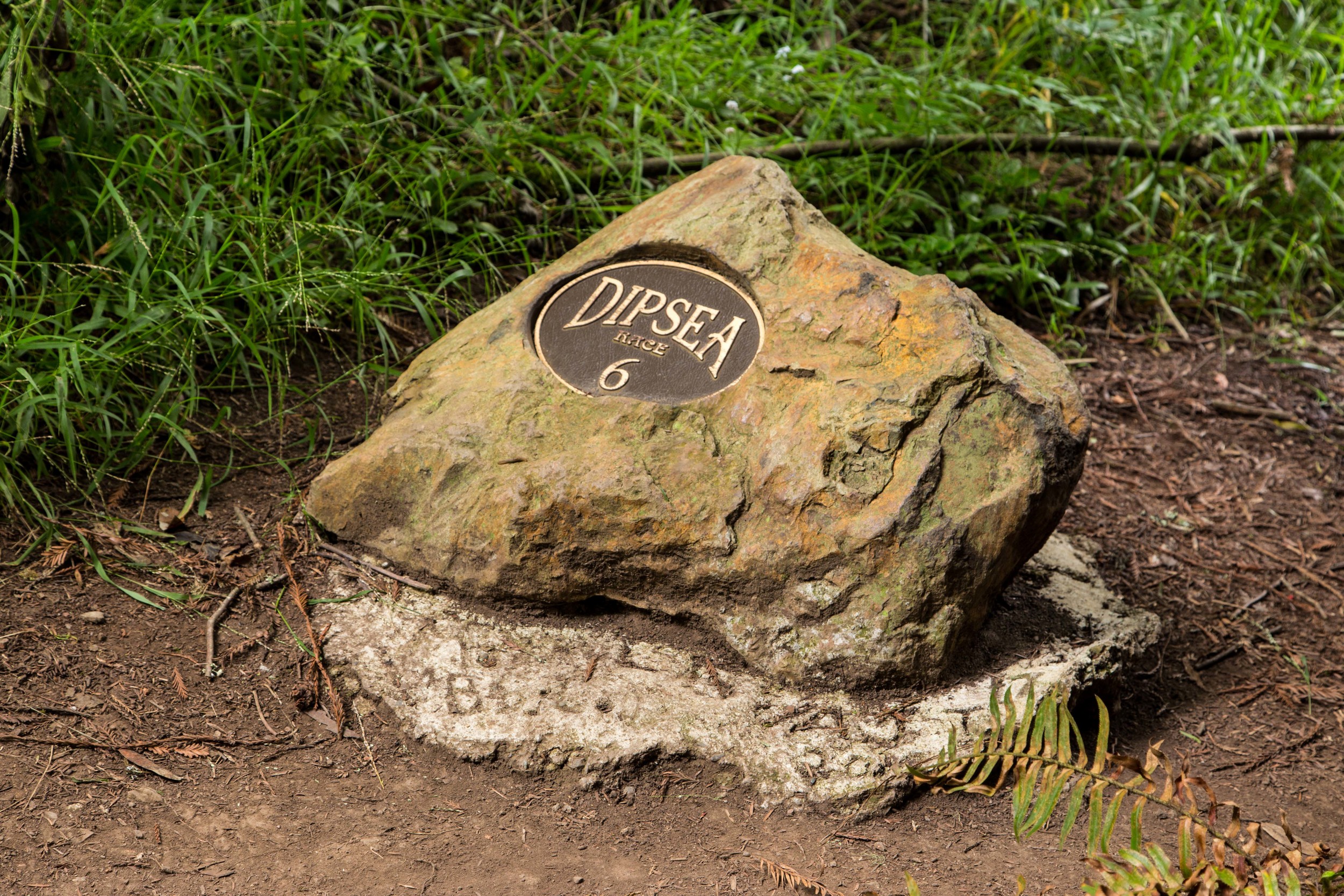
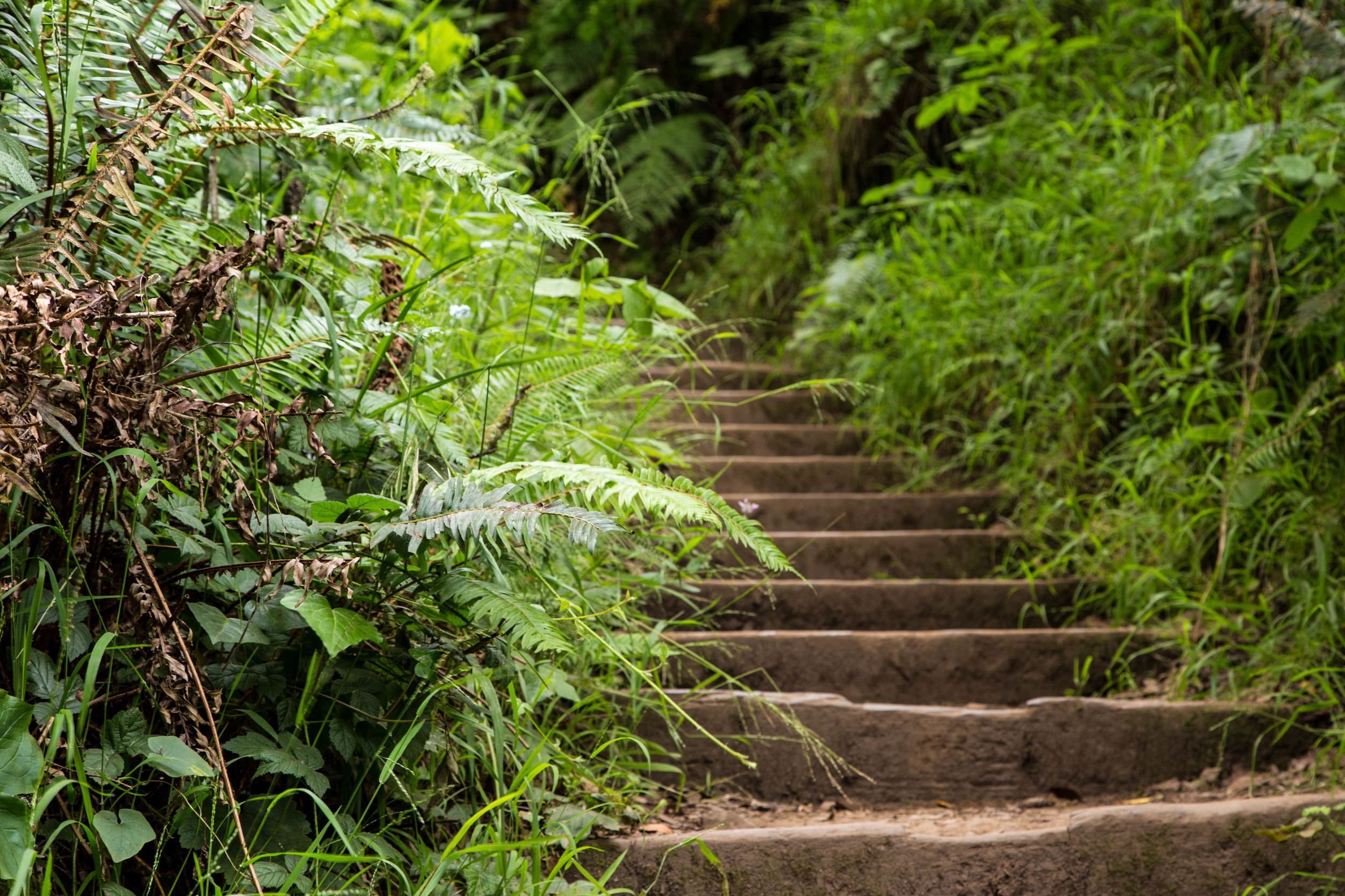
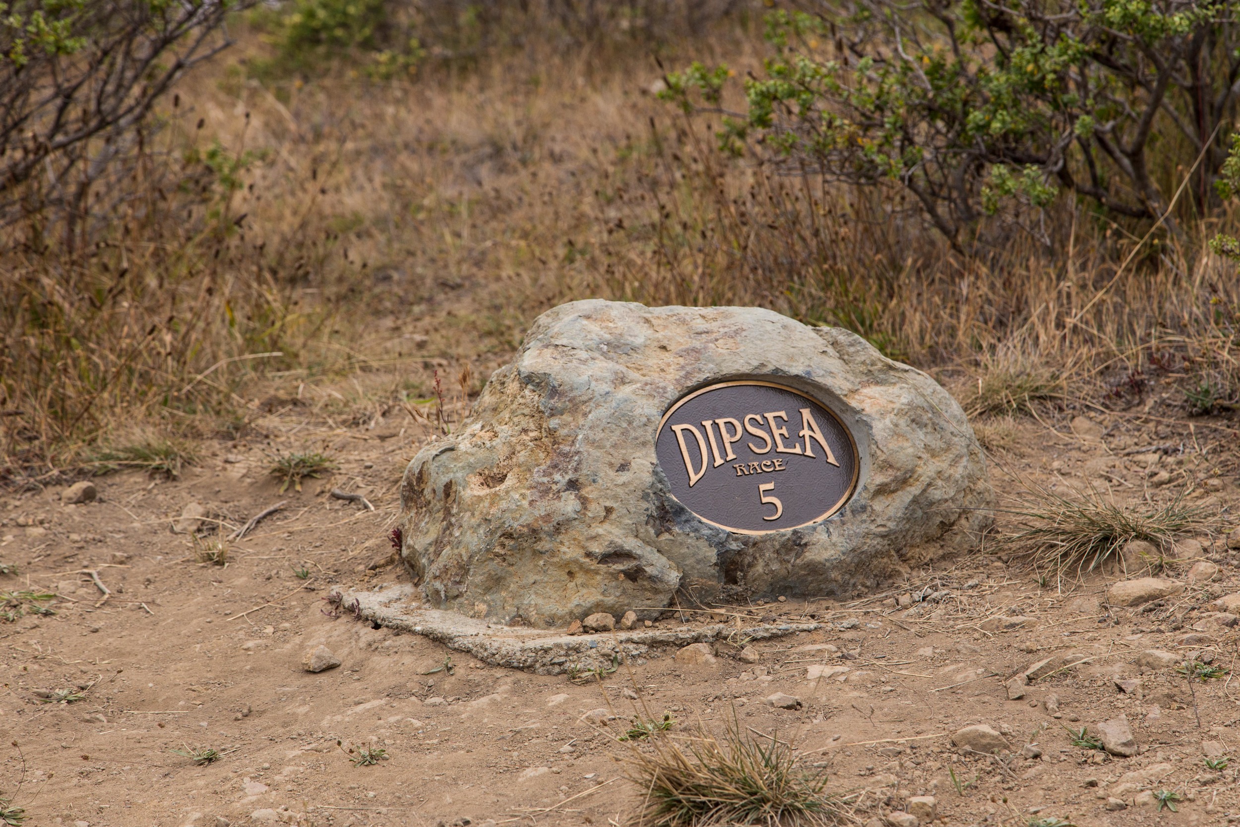
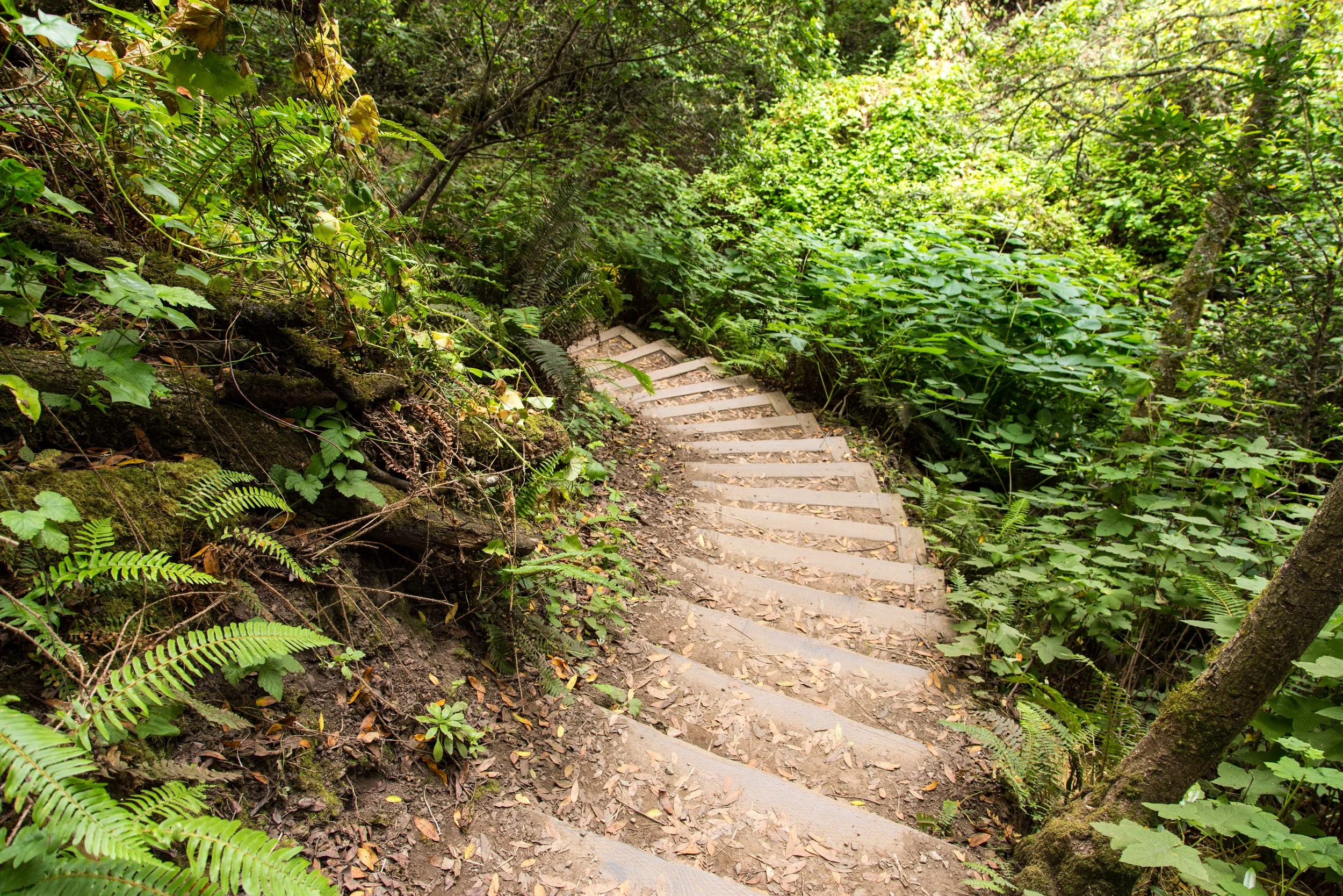
Just on the other side of the bridge is one of the Dipsea Race mile markers. Runners come down this trail, and by this point are almost done with the race. But our climb is just beginning. Every step resonates through the body. Soon, your heart might feel like a prisoner shaking his cage. But you'll eventually realize that the prisoner is doing cartwheels. The pounding heart and heavy legs are really gifts, reminding us where we are, and what we are accomplishing. The morning mist hydrates much of the green here. Marin is much wetter than much of the rest of the bay area, and the natural foliage still seems fresh and verdant. Gaps in the steps stand out like missing teeth, a reminder to pay attention and avoid falls.
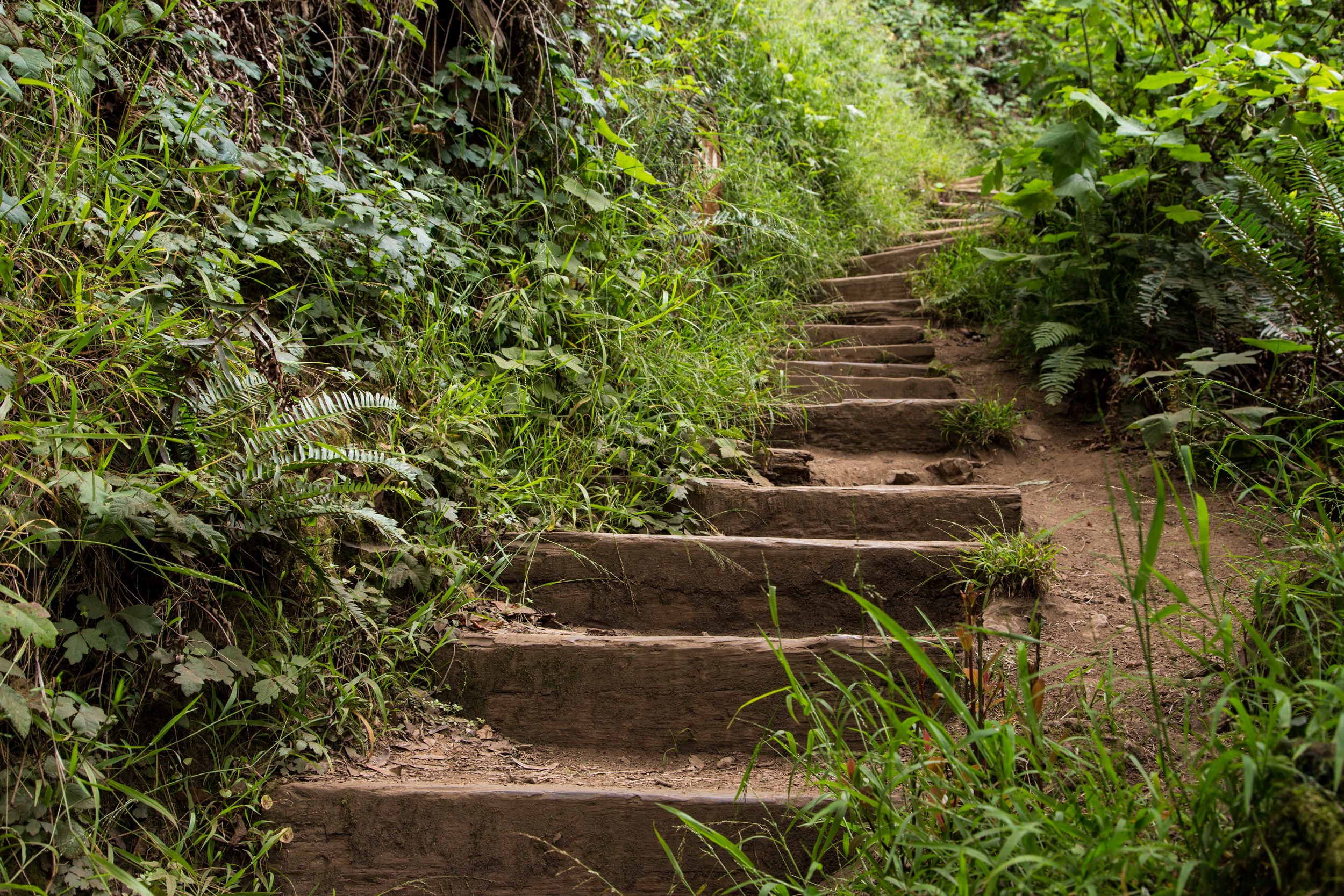
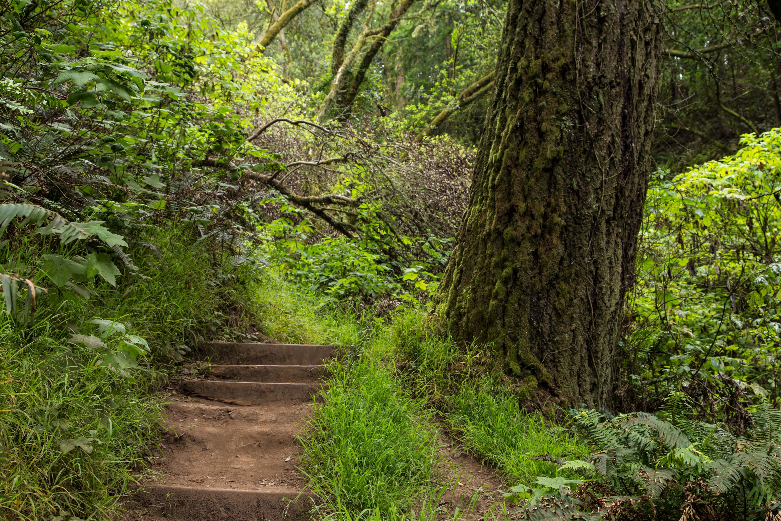
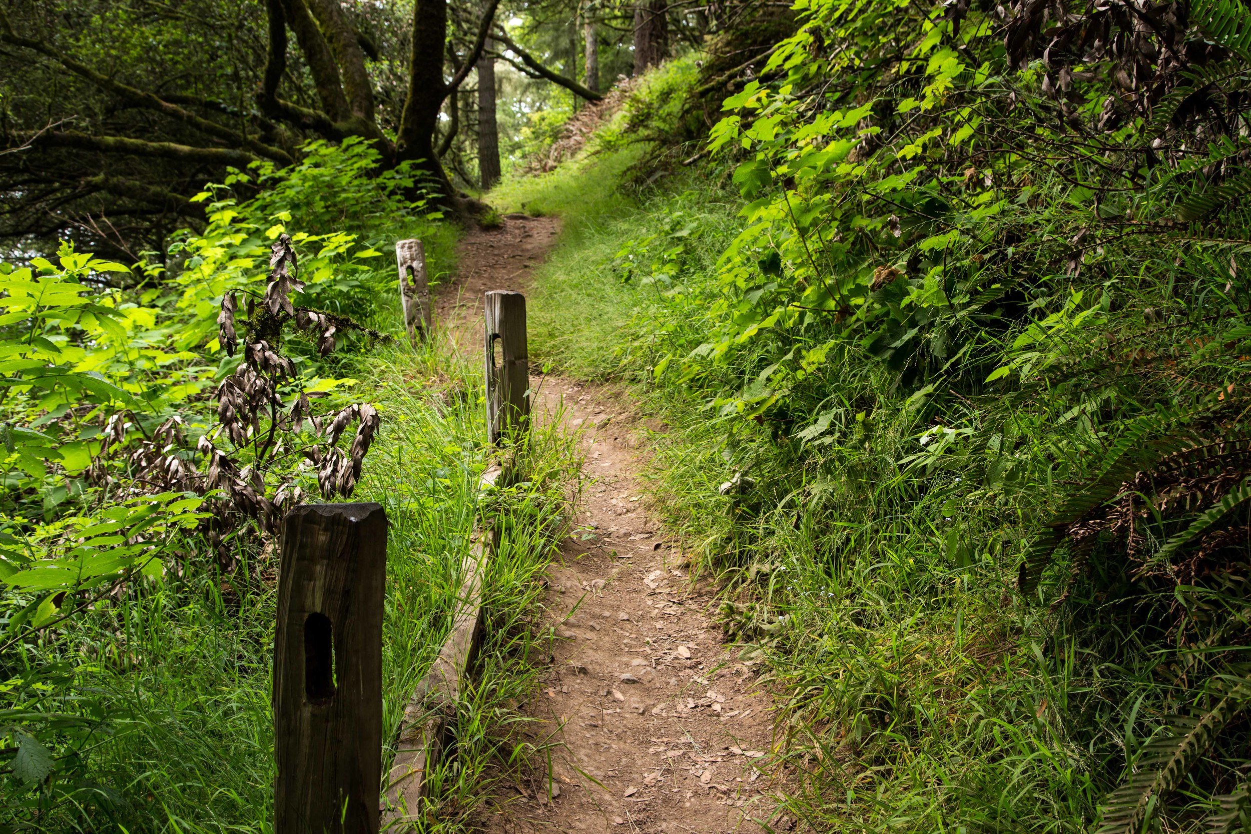
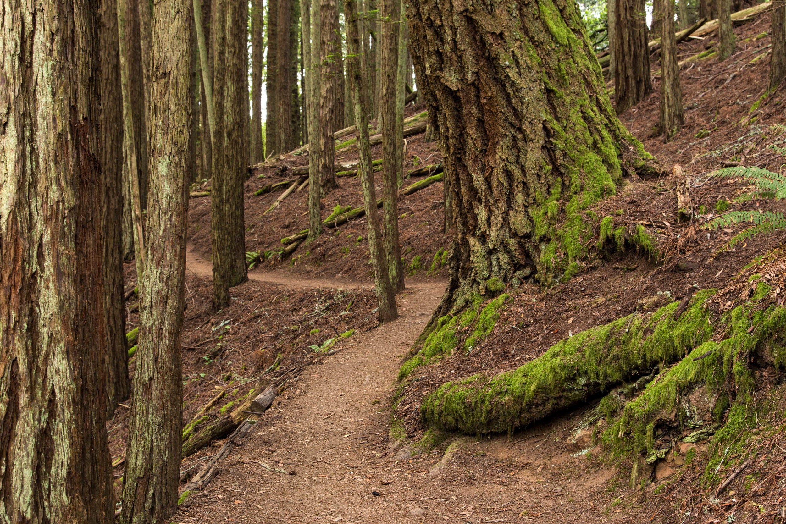
The trail enters a densely packed grove of redwoods. The forest floor in this section seems unusually void of plant life, with only a scattering of green here and there. This passes quickly, and the forest abruptly transitions back to a mixture of redwoods, bays and oaks, with thick undergrowth.
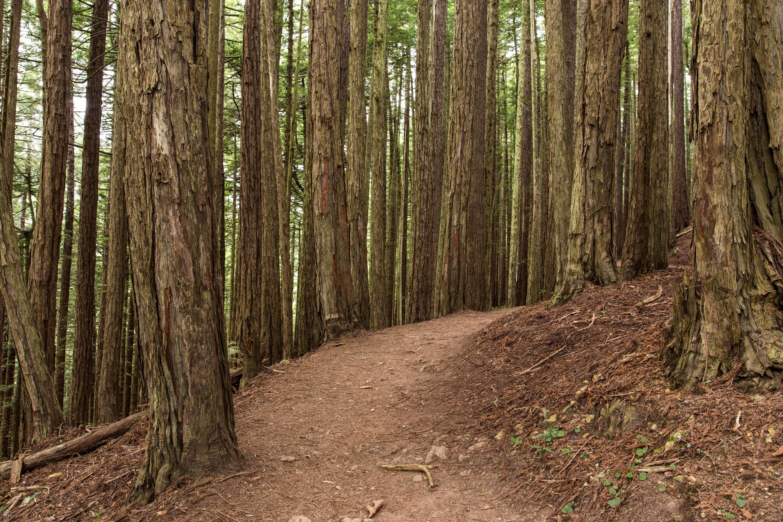
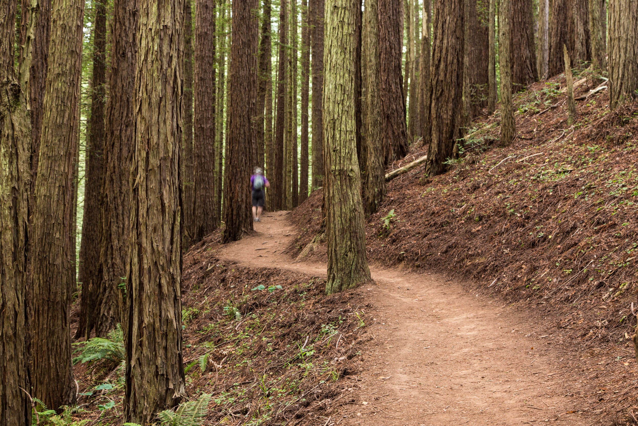
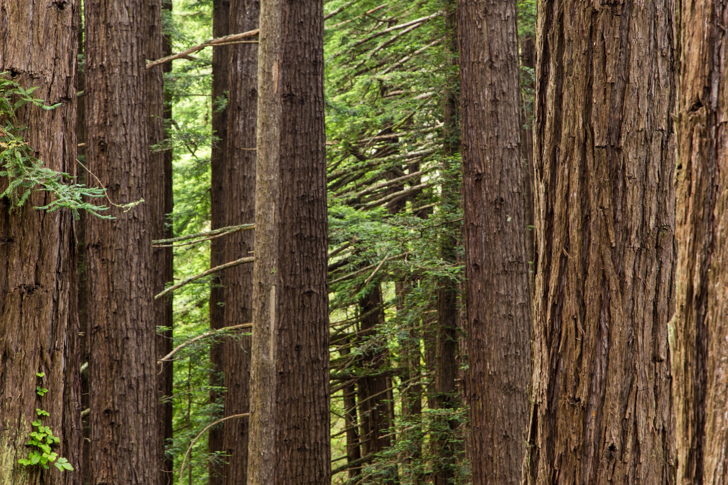

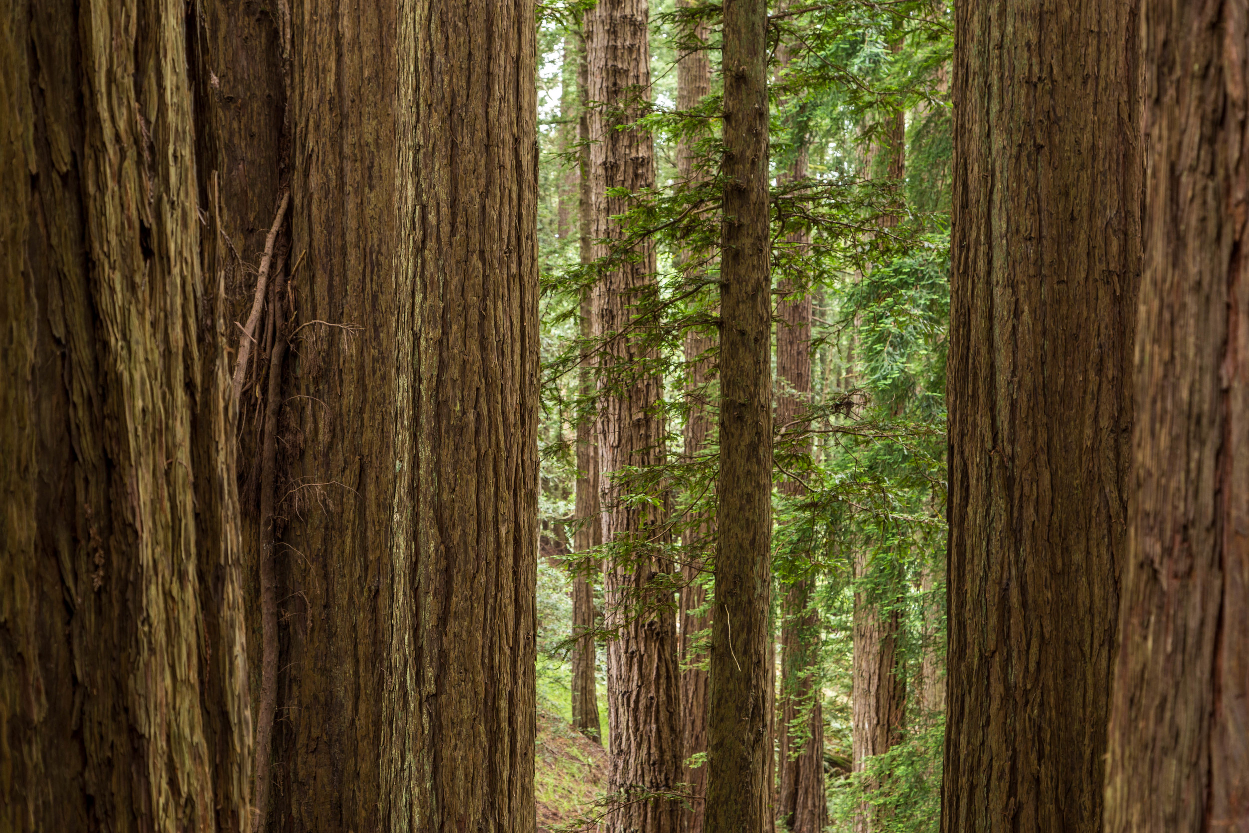
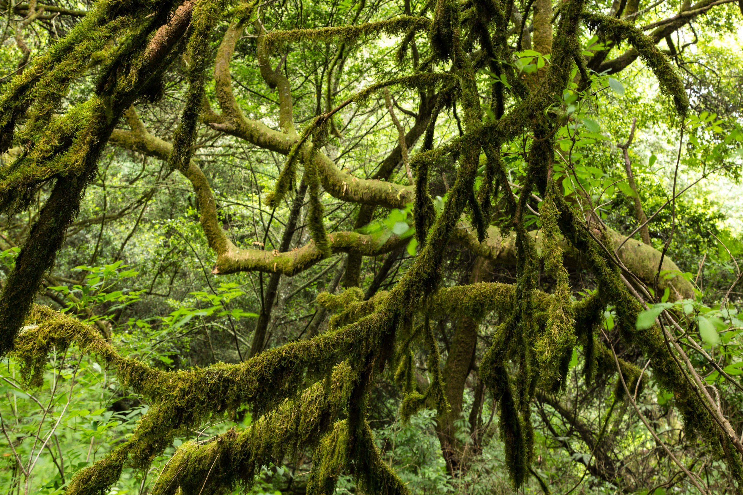
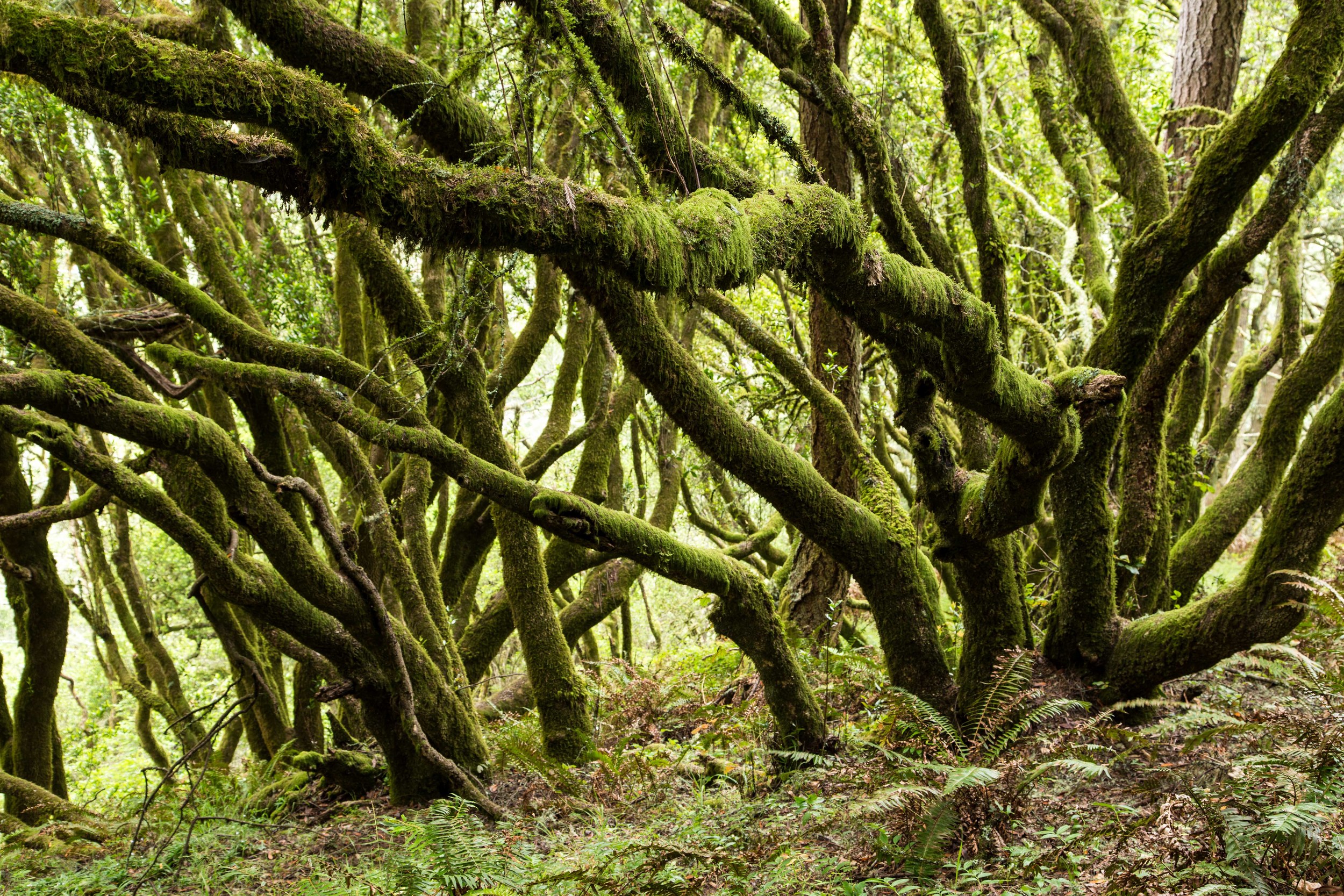
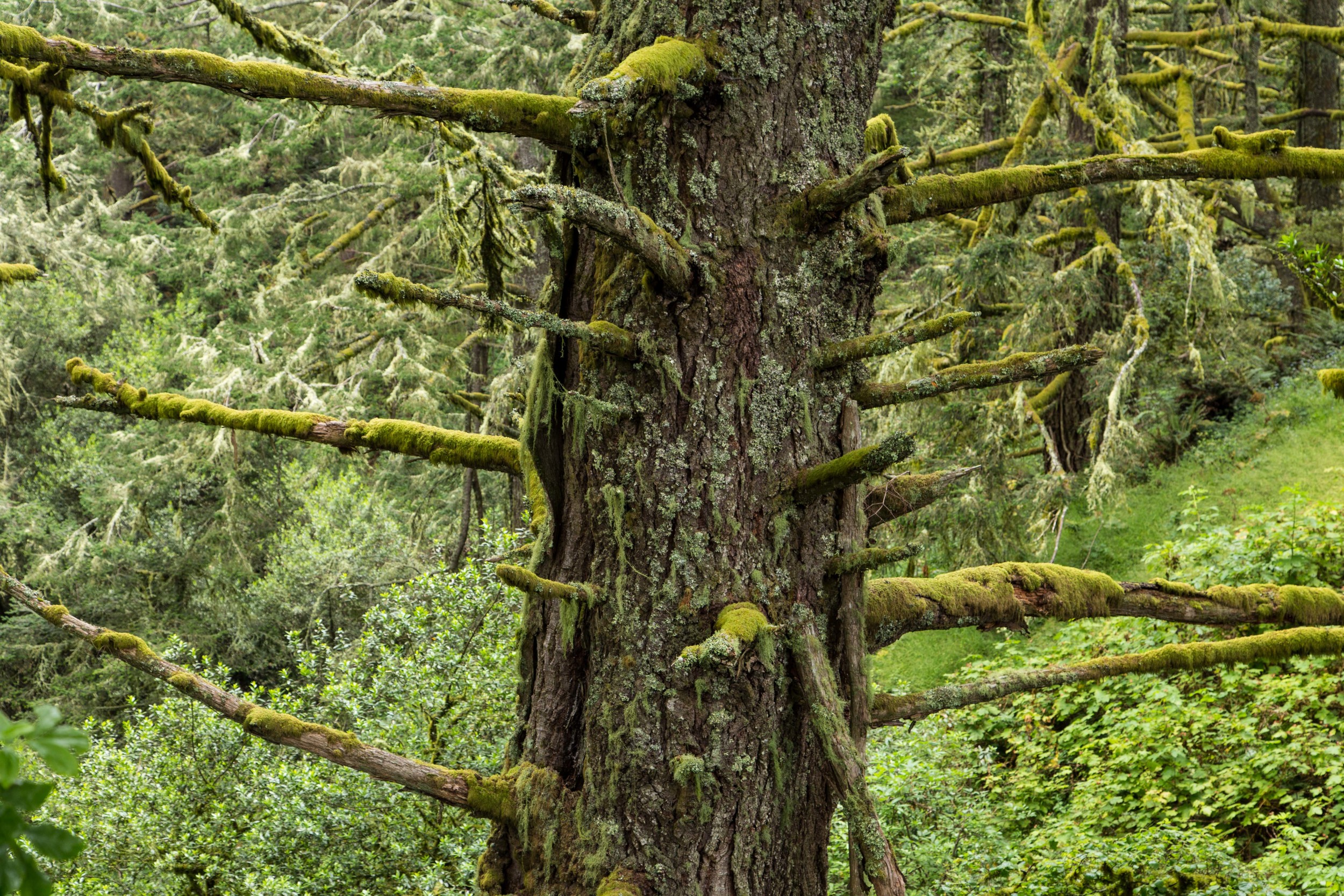
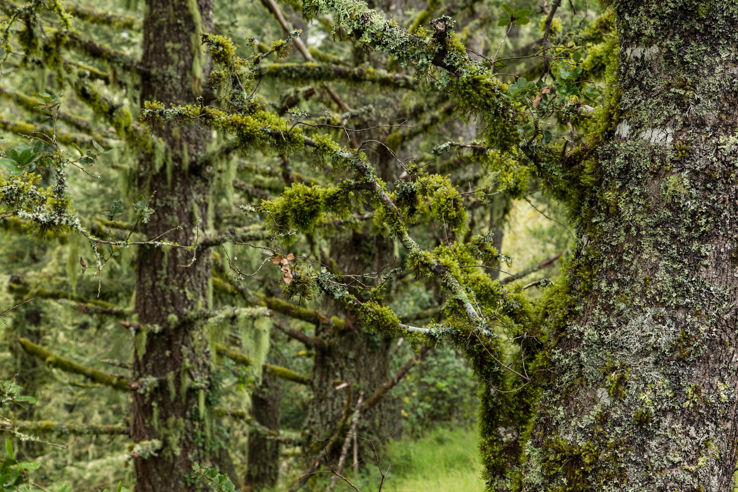
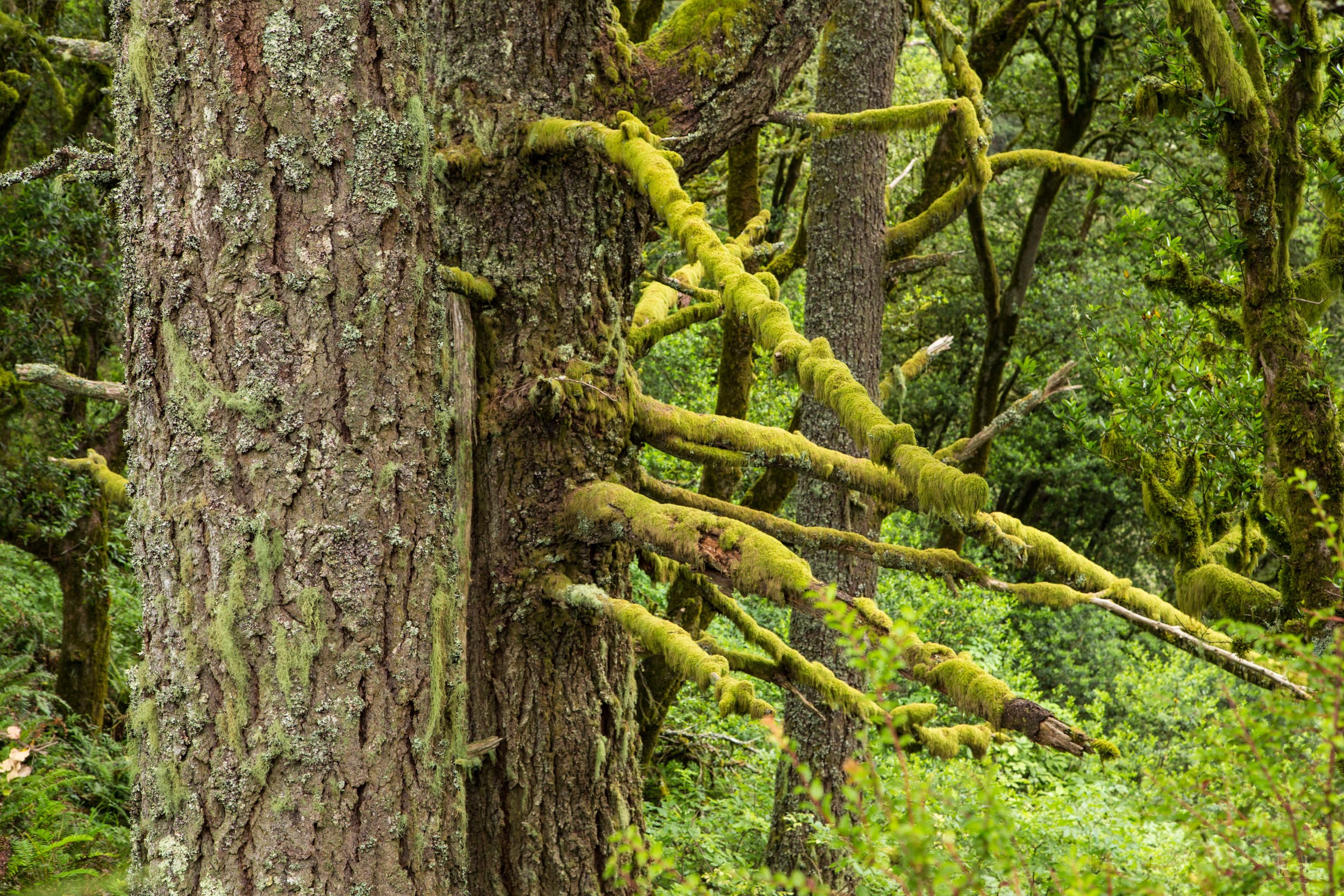
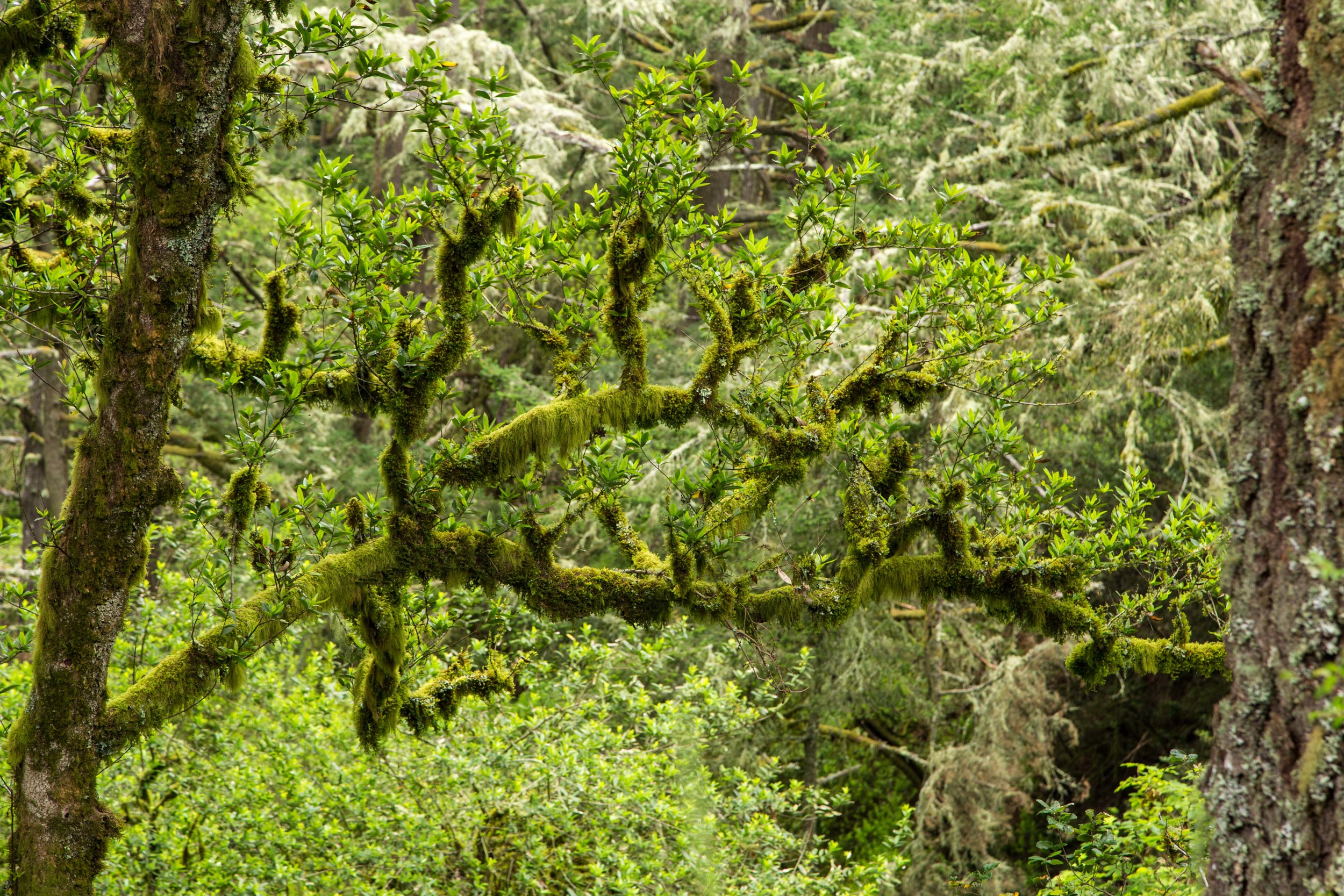
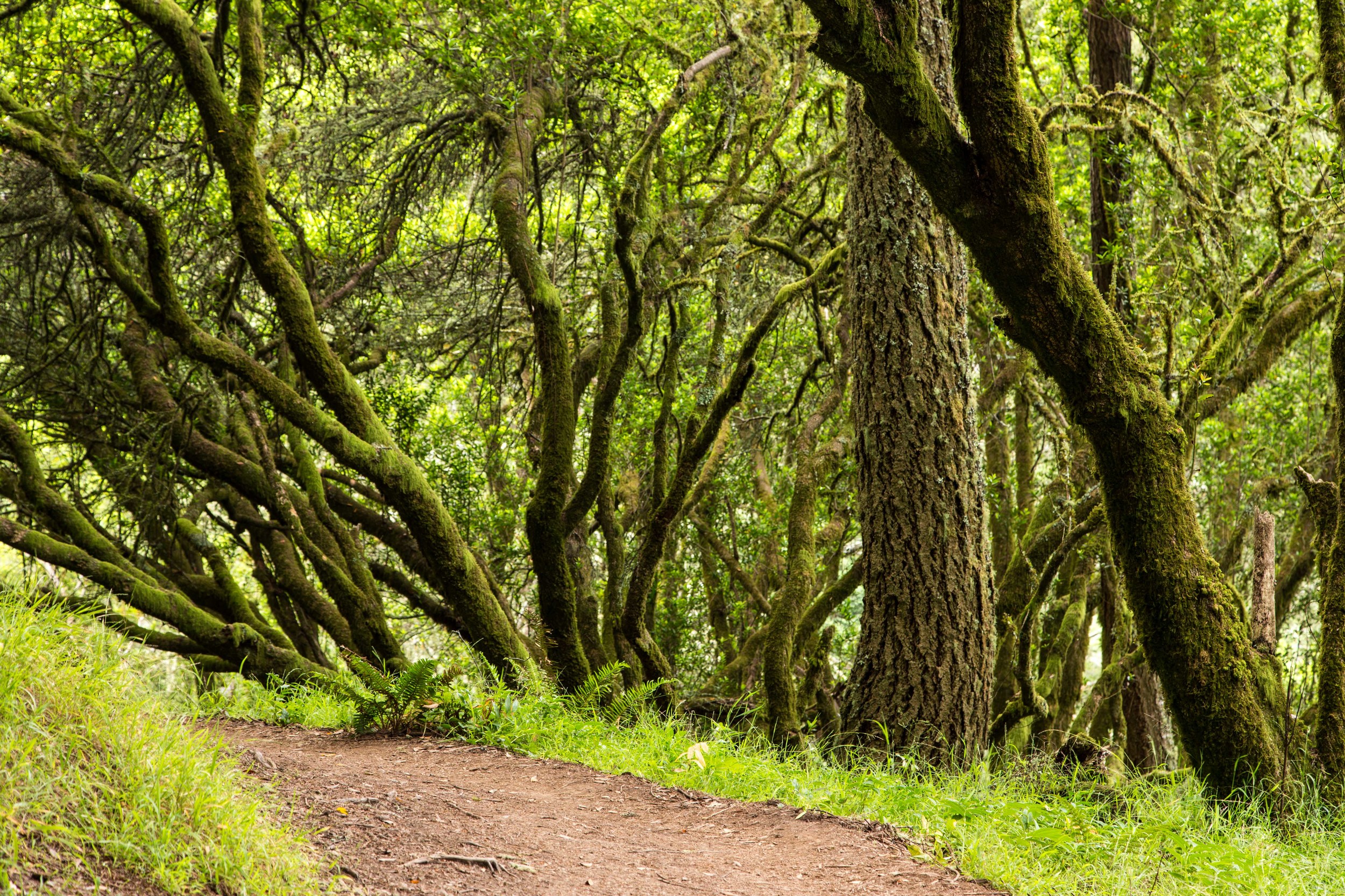
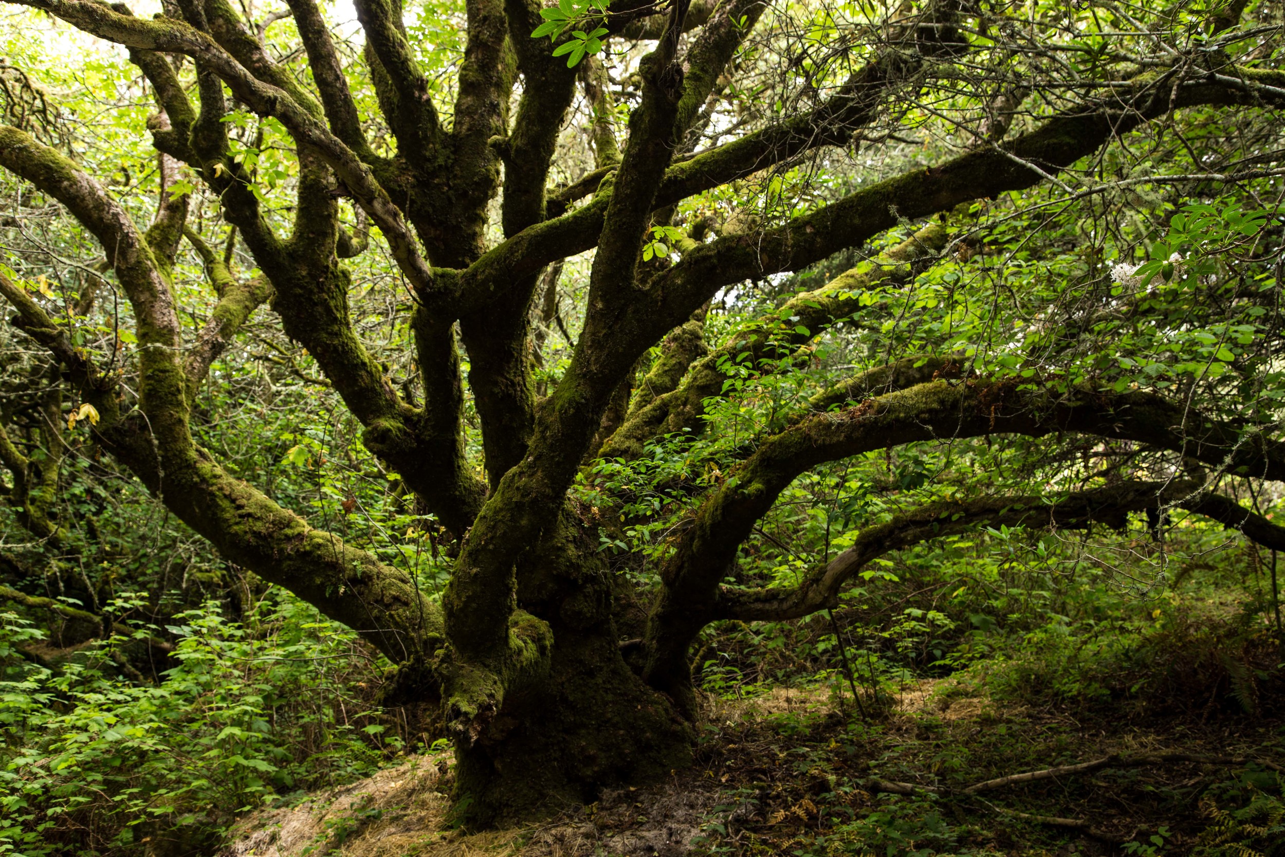
Past the redwood grove, the forest becomes vibrant and green again. Twisted moss covered bays and oaks tangle and dance with each other. Tufts of grass battle with ferns and ivy for ground supremacy. Moss and lichen add more depth and character to the trunks and branches. Odd shapes and contortions create mysterious illusions in the moss, and the lack of oxygen in your cells at this point of the climb contributes to an additional abstraction, as your brain works to coordinate muscular function. Take a break and stay hydrated. Soak up the air, which is filled with the molecules of defensive weaponry put off by the trees. These molecules stimulate the production of NK (Natural Killer) white blood cells, which help fight cancer in our bodies.
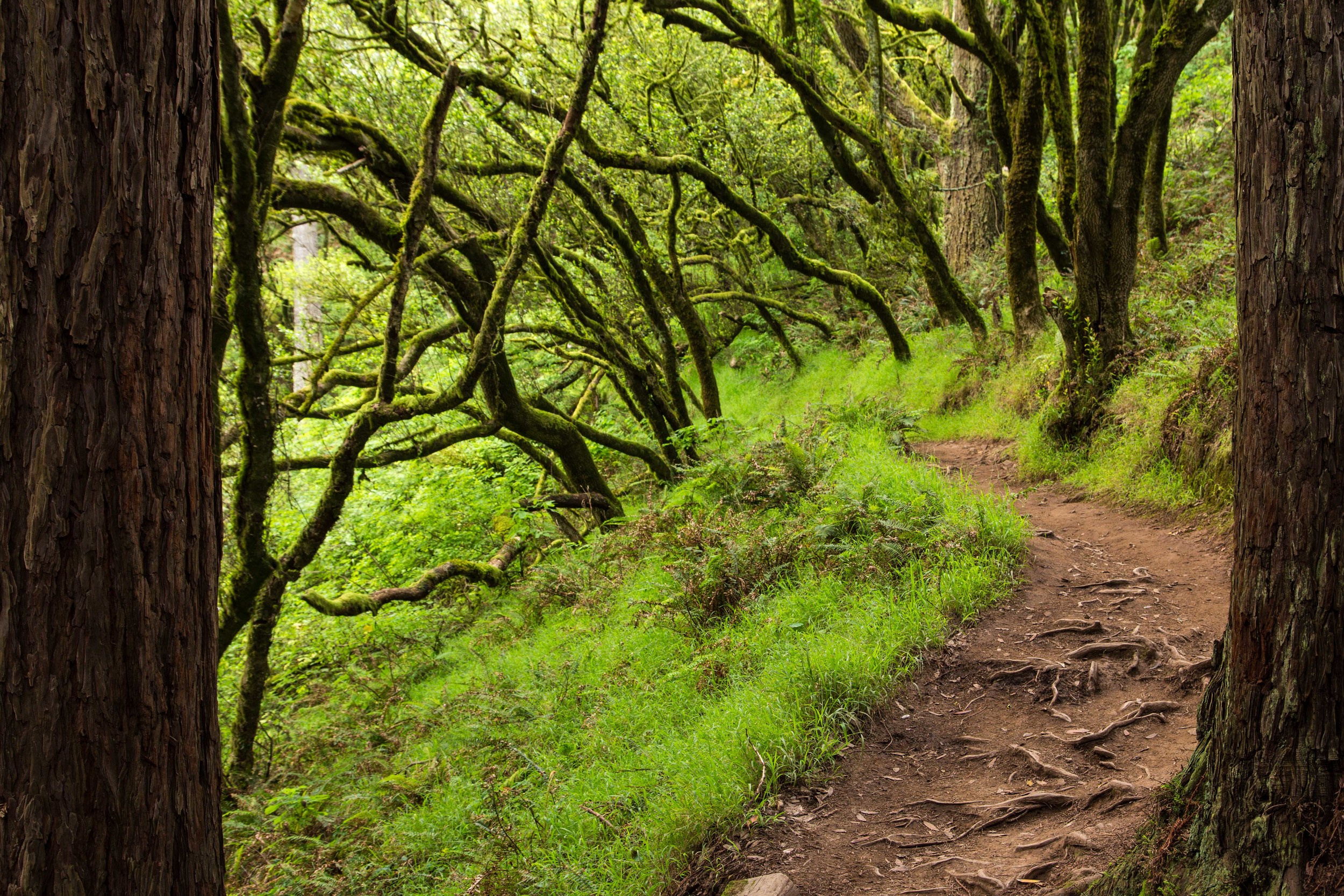
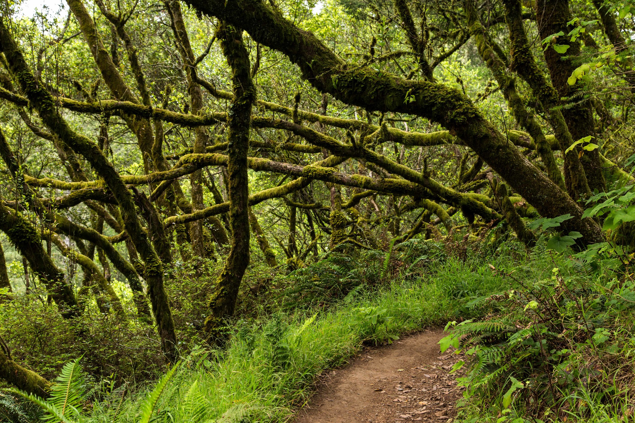
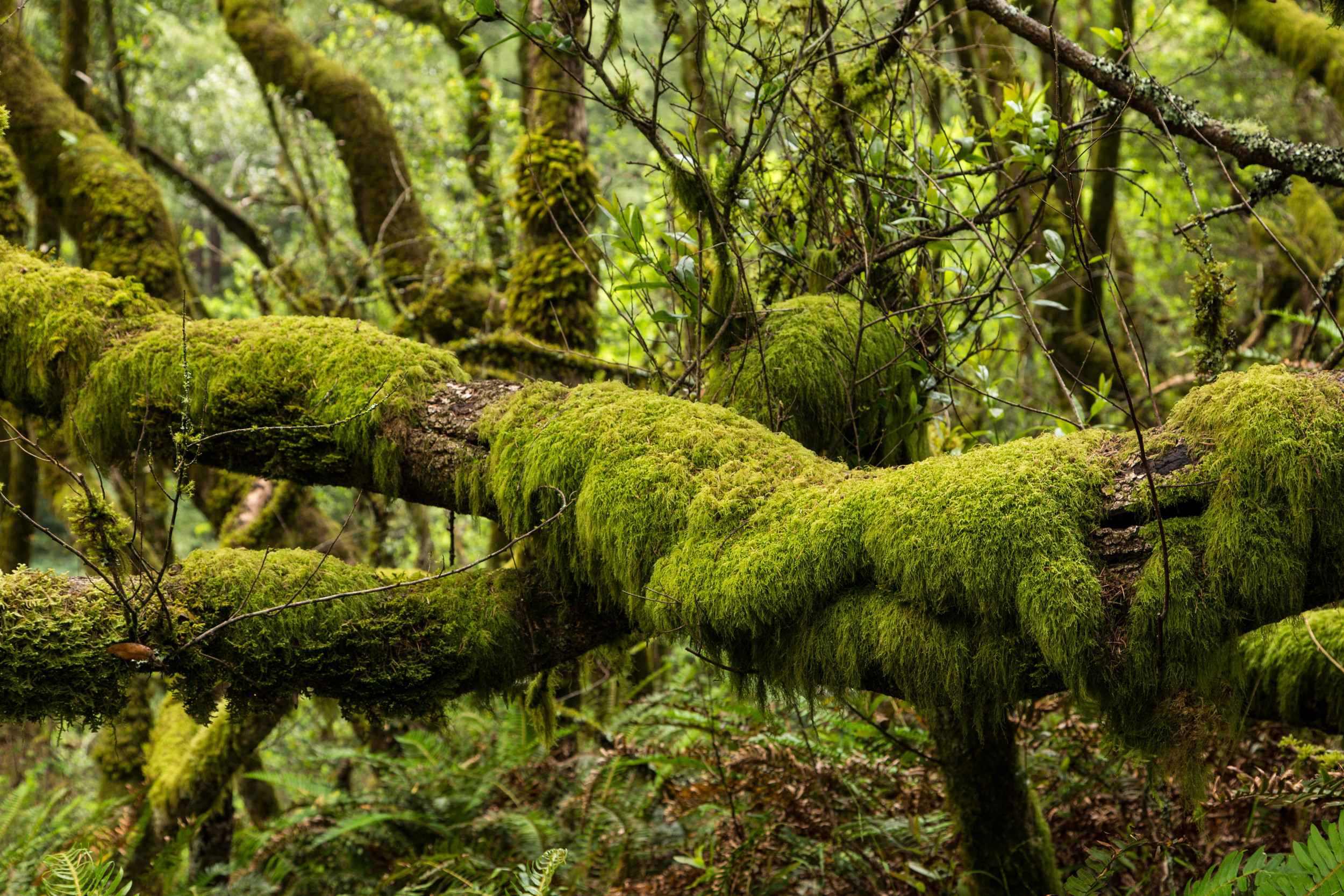
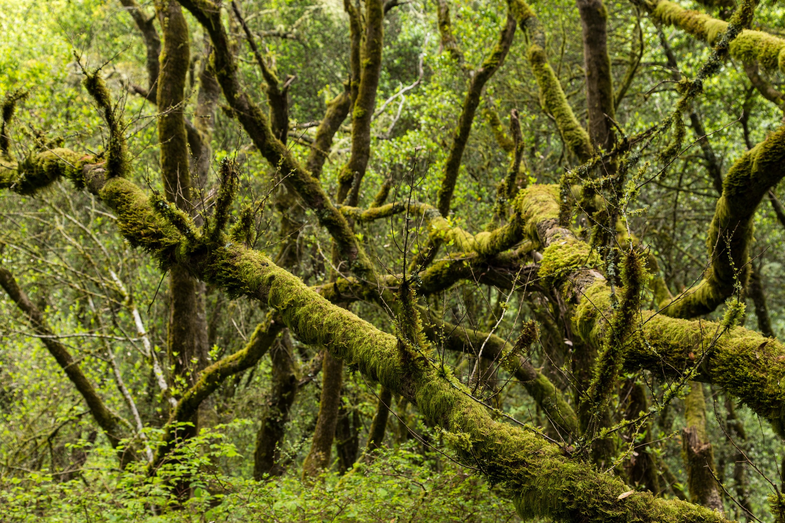
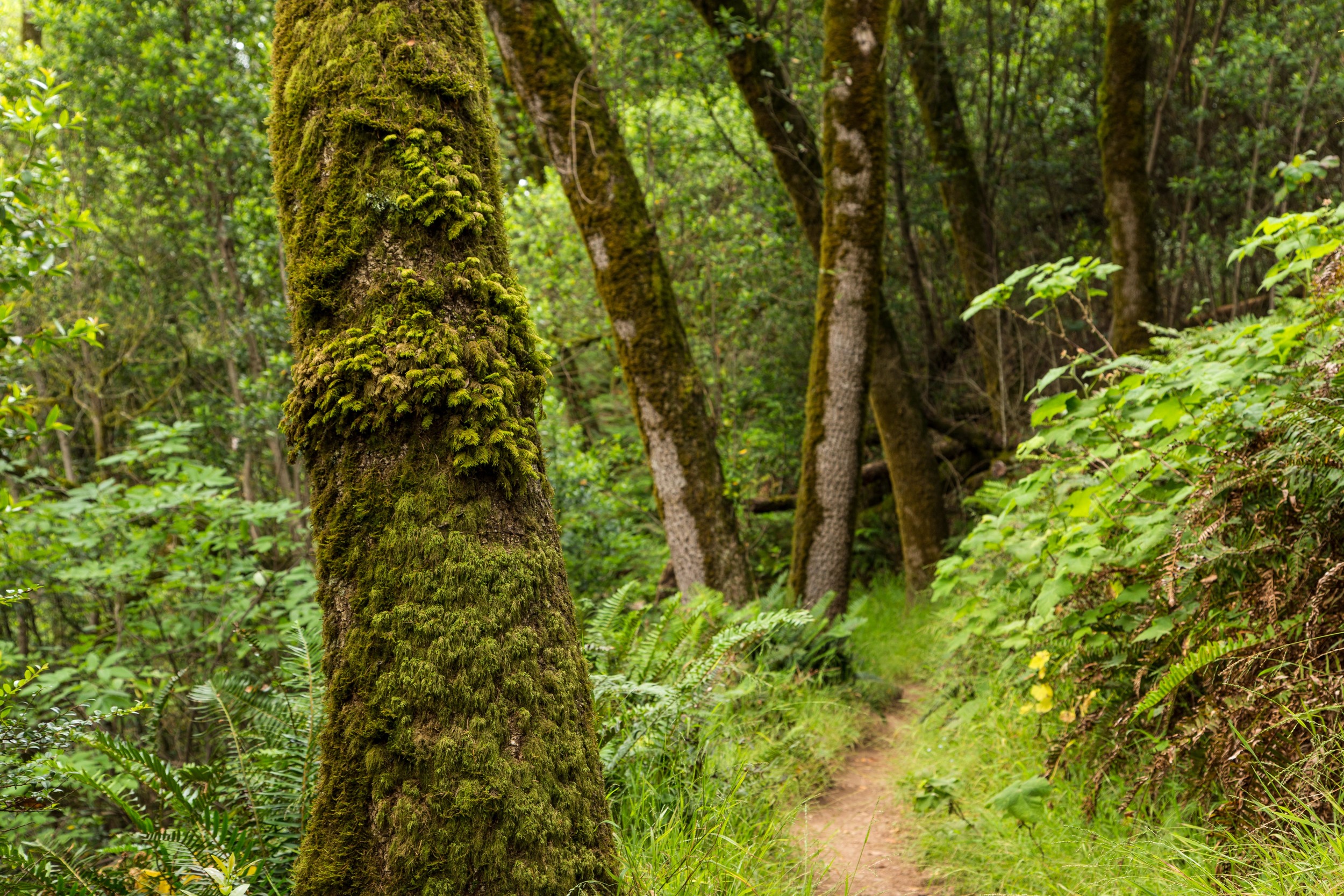
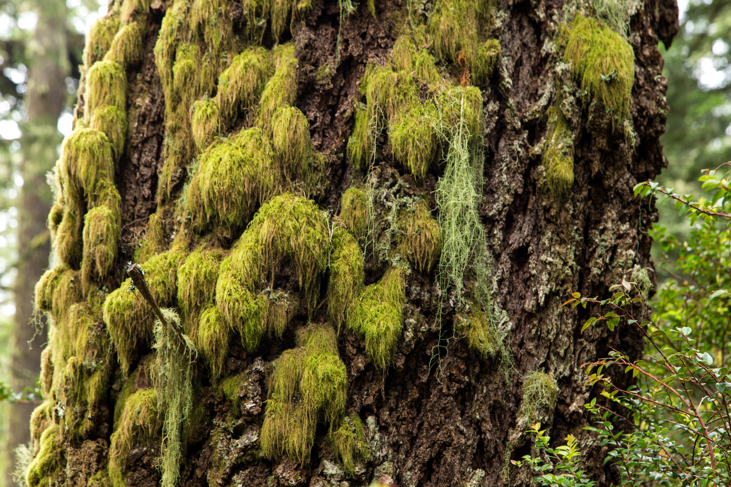
Approaching the last wooded section before the trail opens up again, the trees and branches become even more verdant and twisted. In the winter, the moss gets a steady diet of mist and rain. Draping lichen hangs like nature's laundry, and little sentries seem to be dancing on outstretched branches. All around, the trees reach and twist, adjusting to the endless ocean breeze and often sheltered from a searing California sun by a rejuvenating coastal fog.


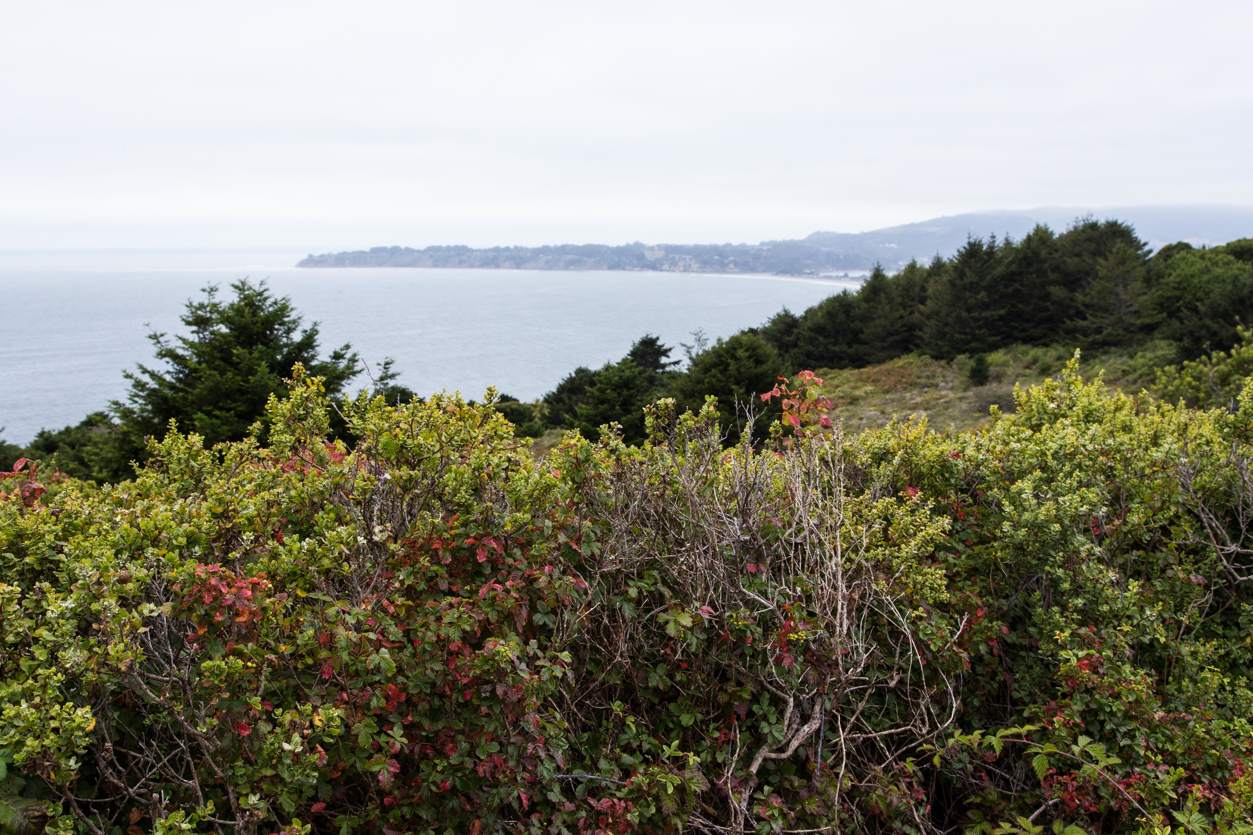
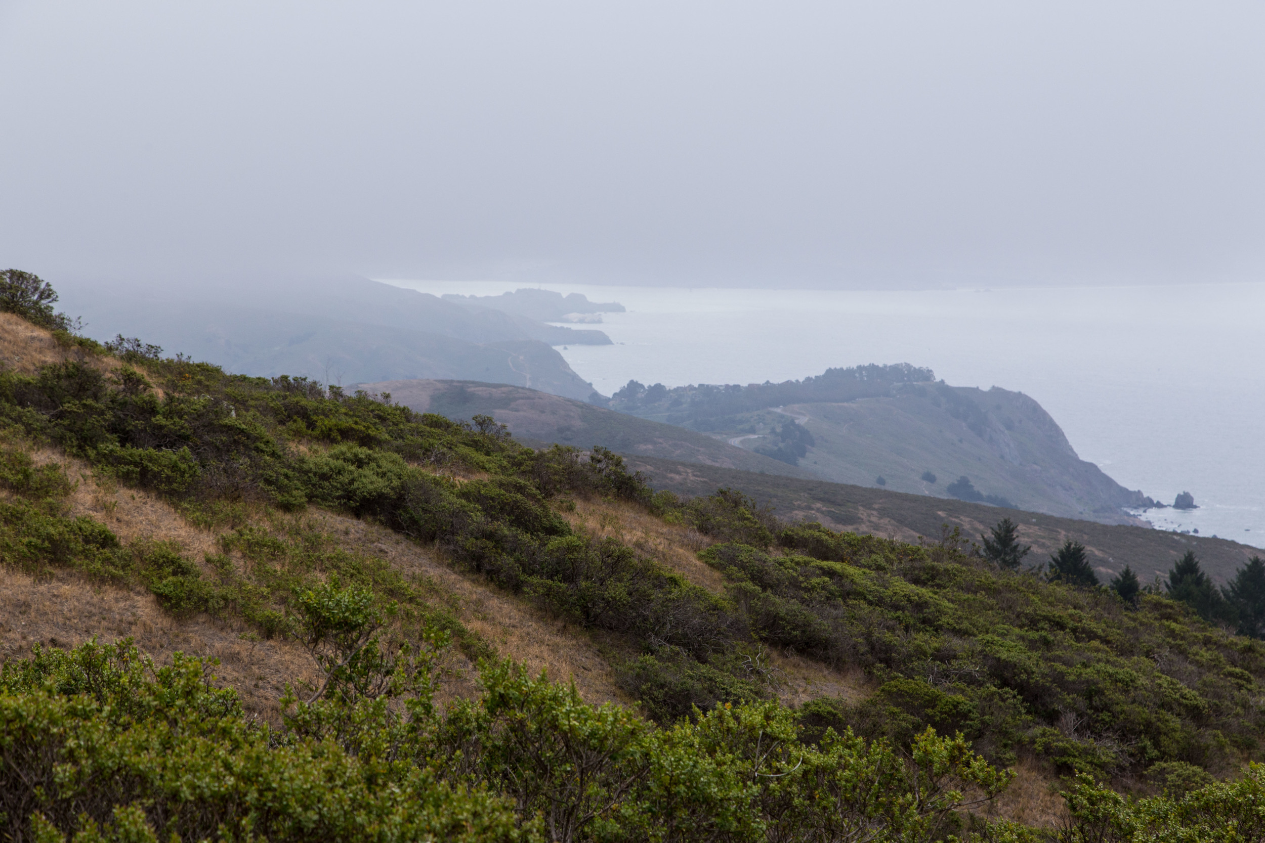
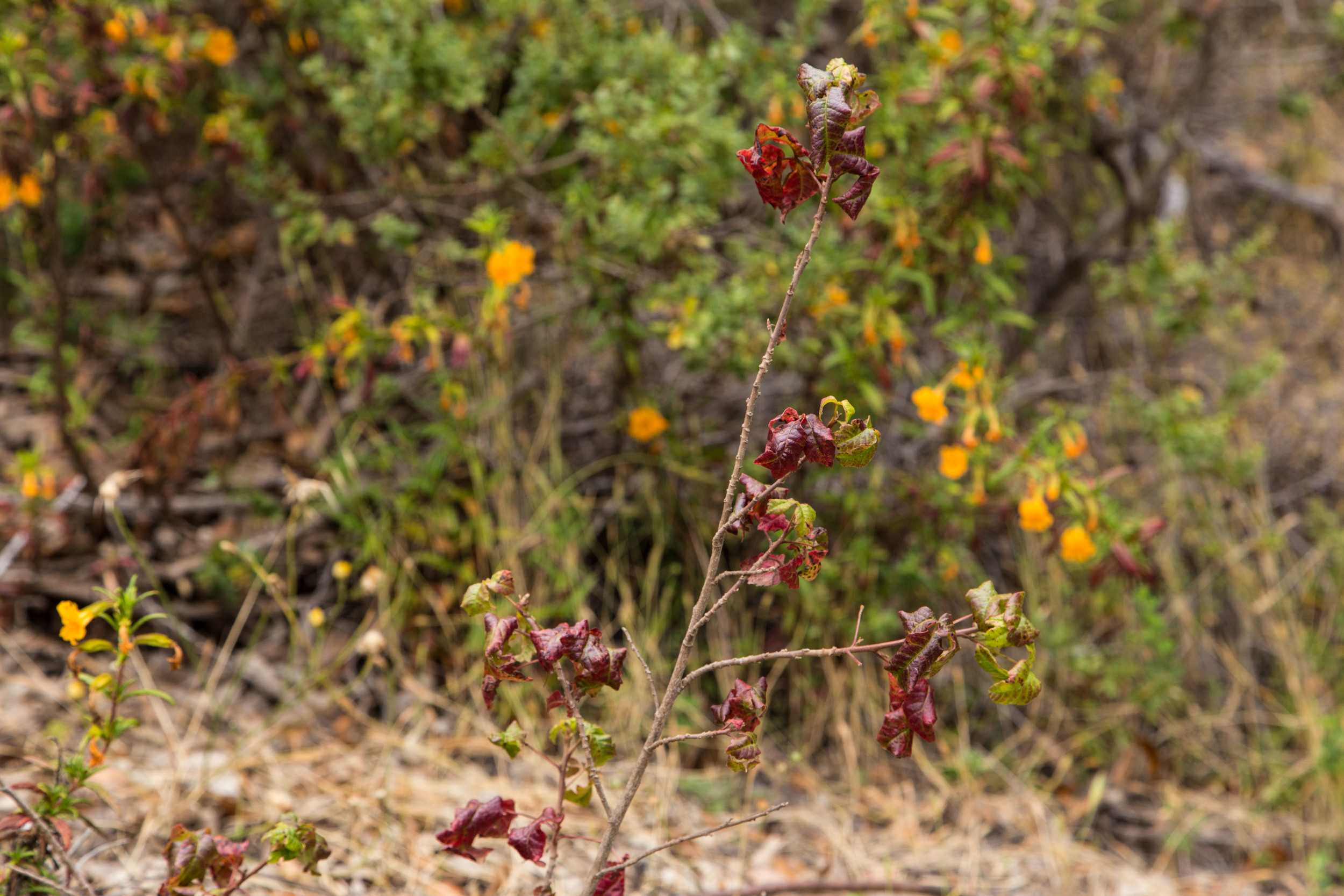
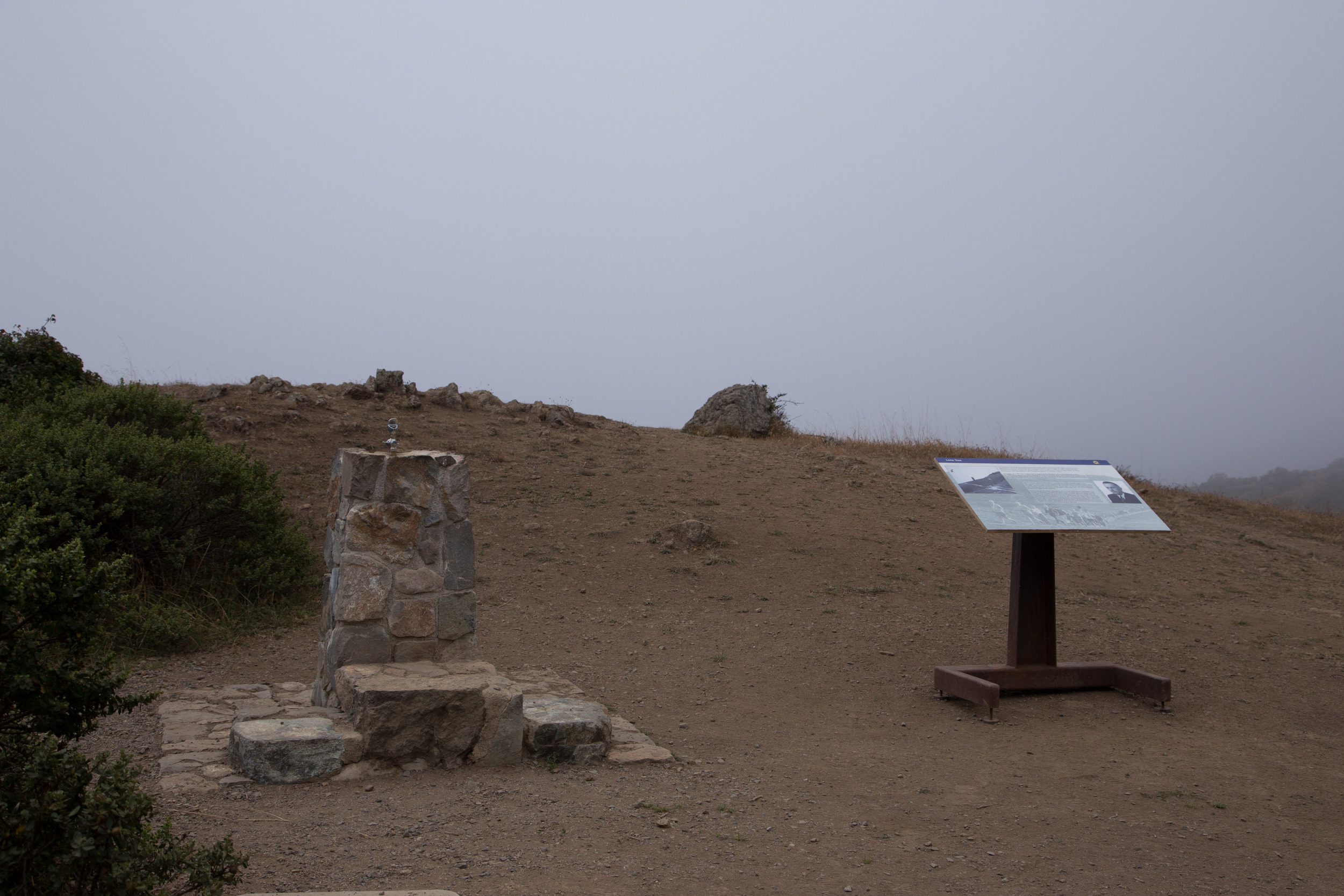
The last stretch of trail before opens up to more views of the coast. The mist sustains the flowers that bloom here even in June, during the fourth year of a drought. At Cardiac Hill, an interpretive display describes the history of the Dipsea Trail and race. The working water fountain is surprising to see, and fresh water saves me from sipping the flat bland water in my Camelbak.
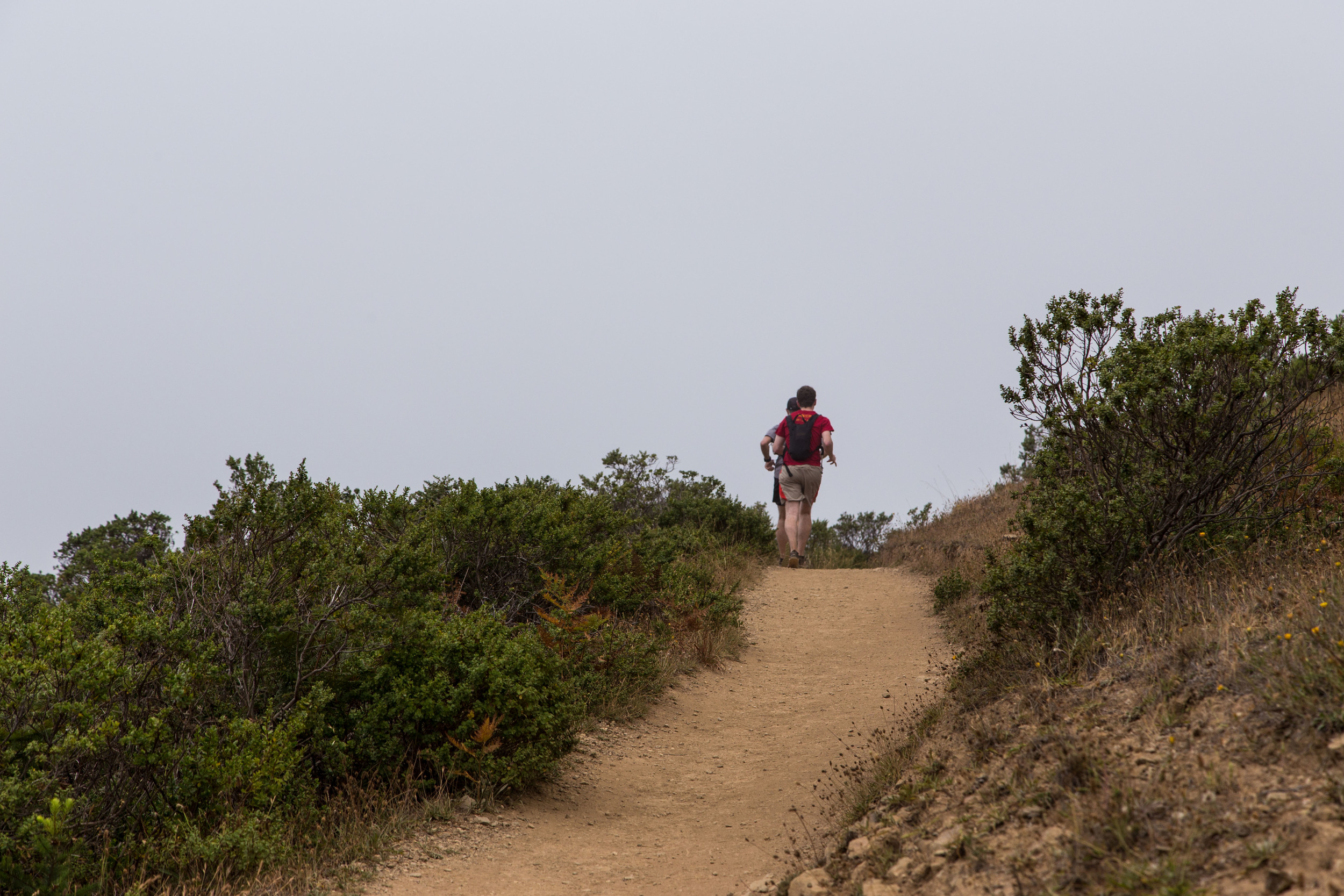
From here, there are many hiking options. The Dipsea Trail continues on to Muir Woods National Monument, and other trails at this intersection offer interesting alternatives. For this hike, I turned around and returned to the Dipsea Trail, and headed for Stinson Beach. As the day progresses, these trails get progressively more populated with hikers and runners. Dipsea runners in training fly by on the downhill, bounding from rock to step to trail. The more experienced runners make it appear effortless.
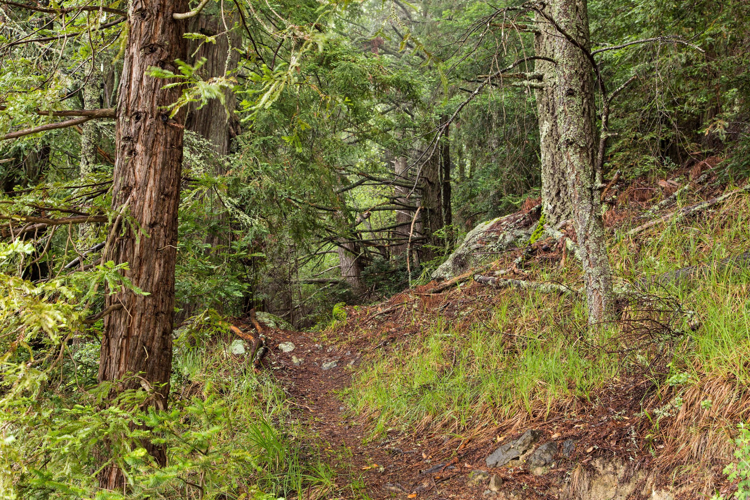
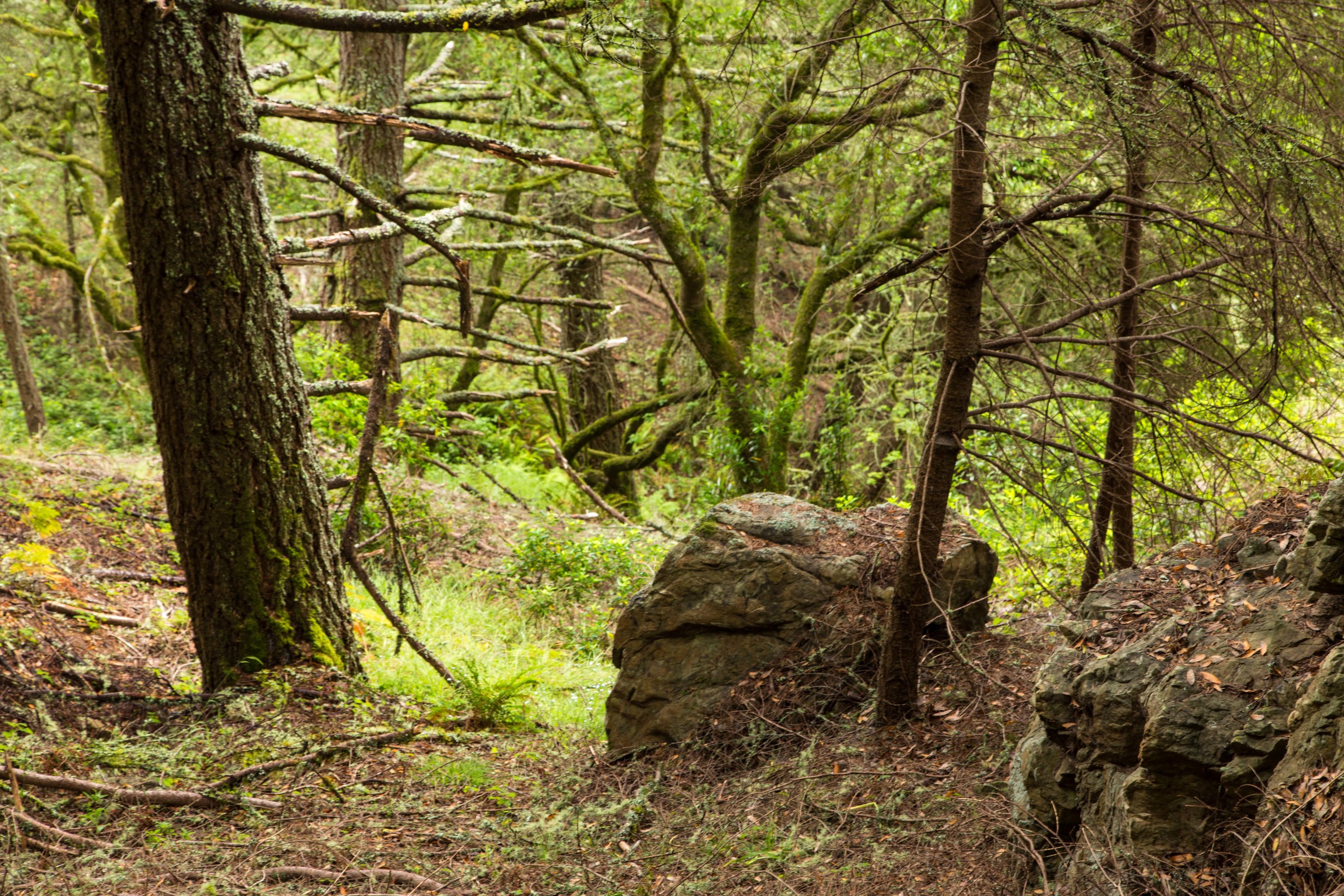
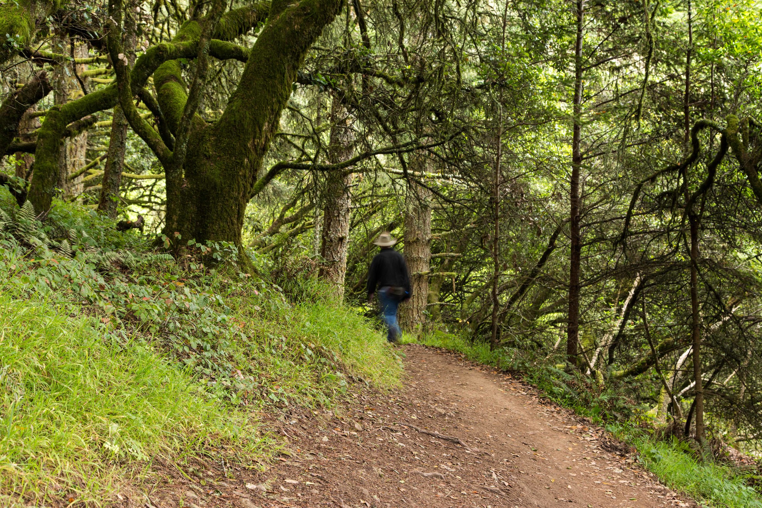
Returning to the canopy, the downhill is faster and easier. Things missed on the climb due to fatigue and visibility become more apparent. This is the view the Dipsea racers see as they descend. The steps start later. This part of the trail is still narrow single track. Roots and rocks on the path add additional obstacles to the runner and hiker.
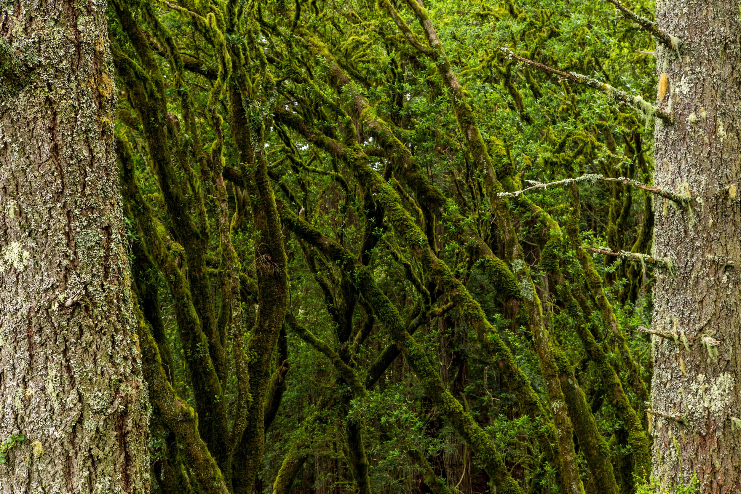
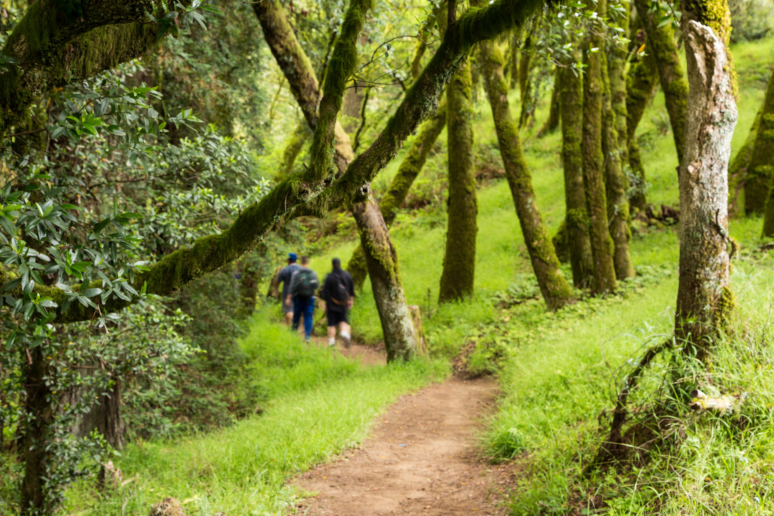
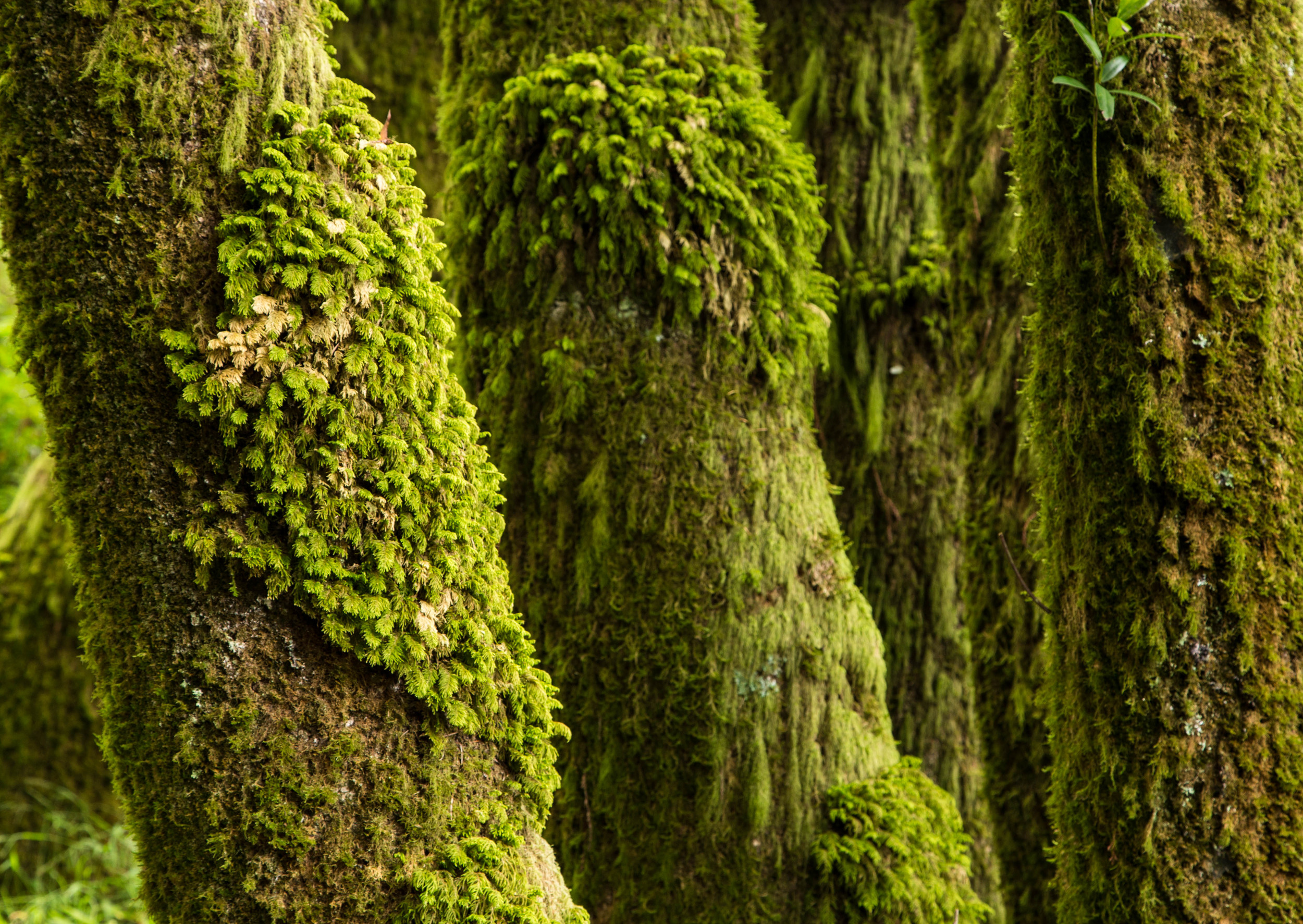
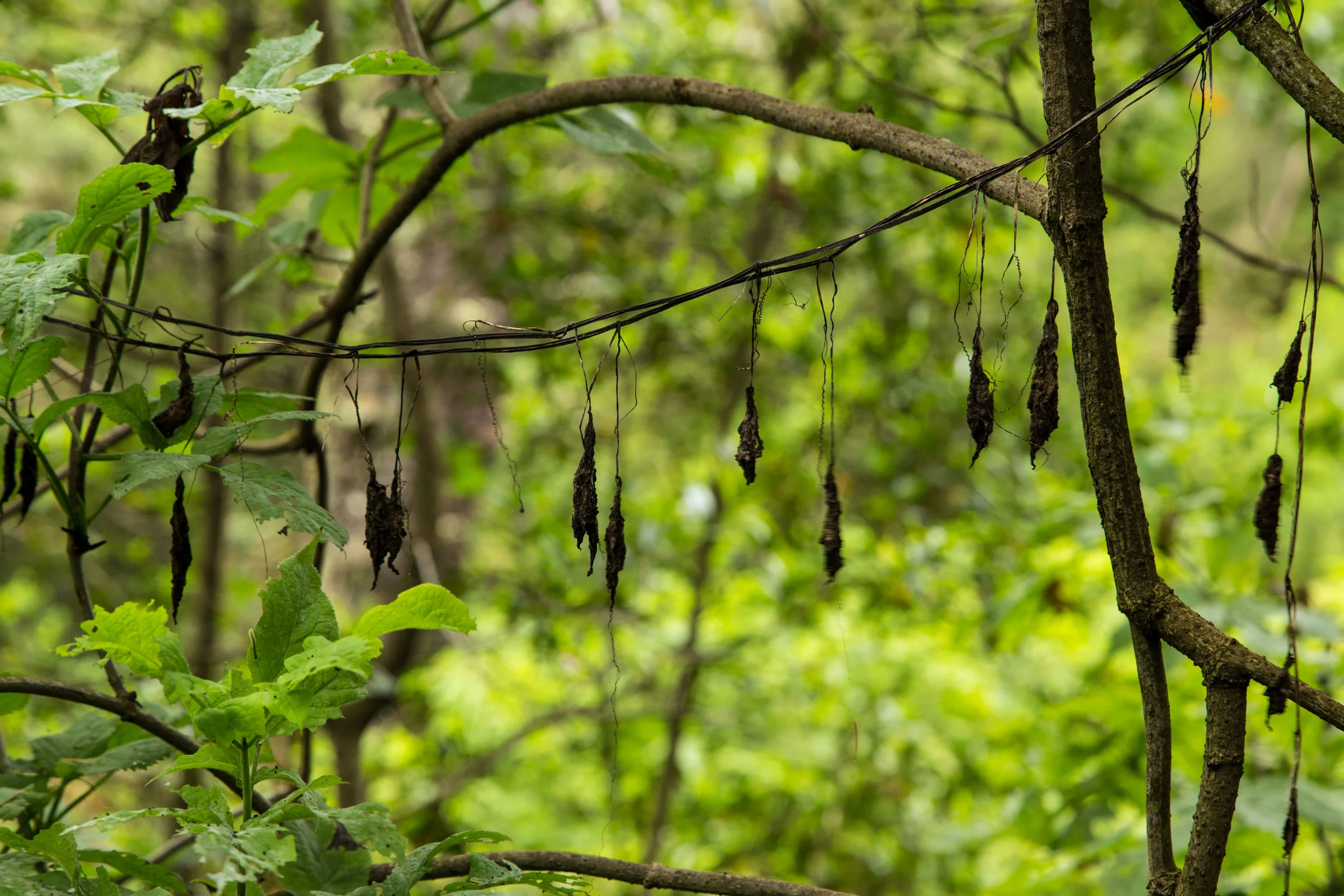
The descending elevation showcases the different topography. The weather, elevation and location each have an impact on the aesthetic display of the forest, and each is like a unique brush on the canvas of this hillside.
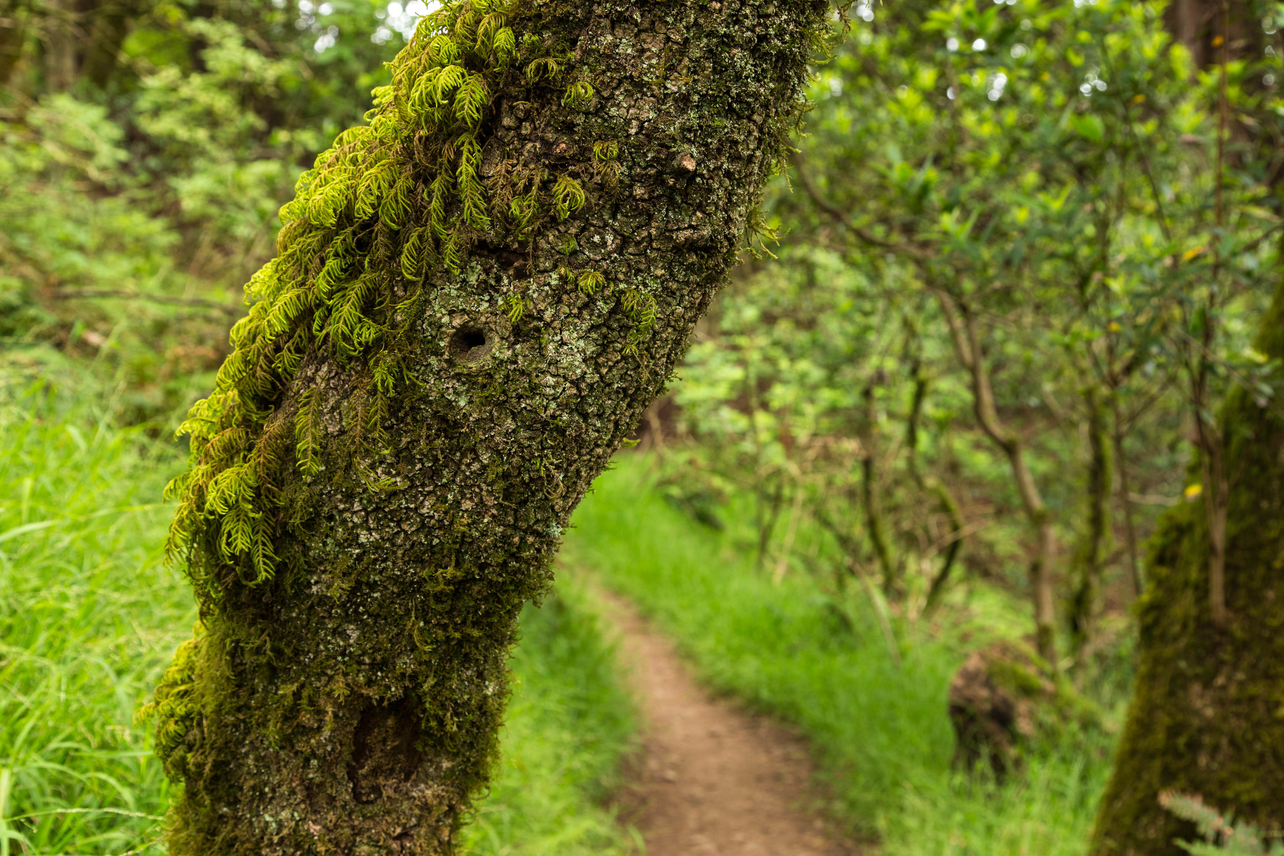
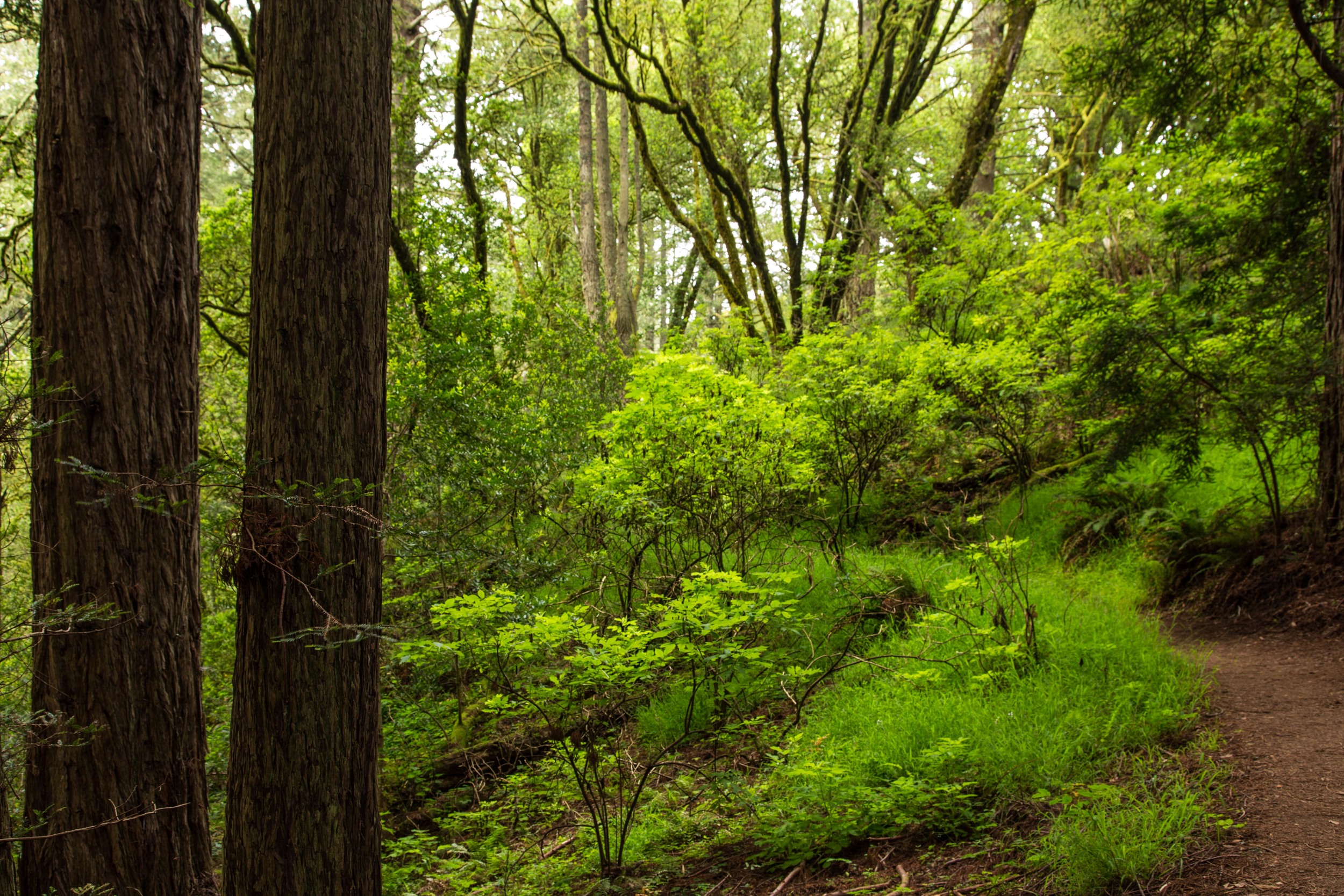
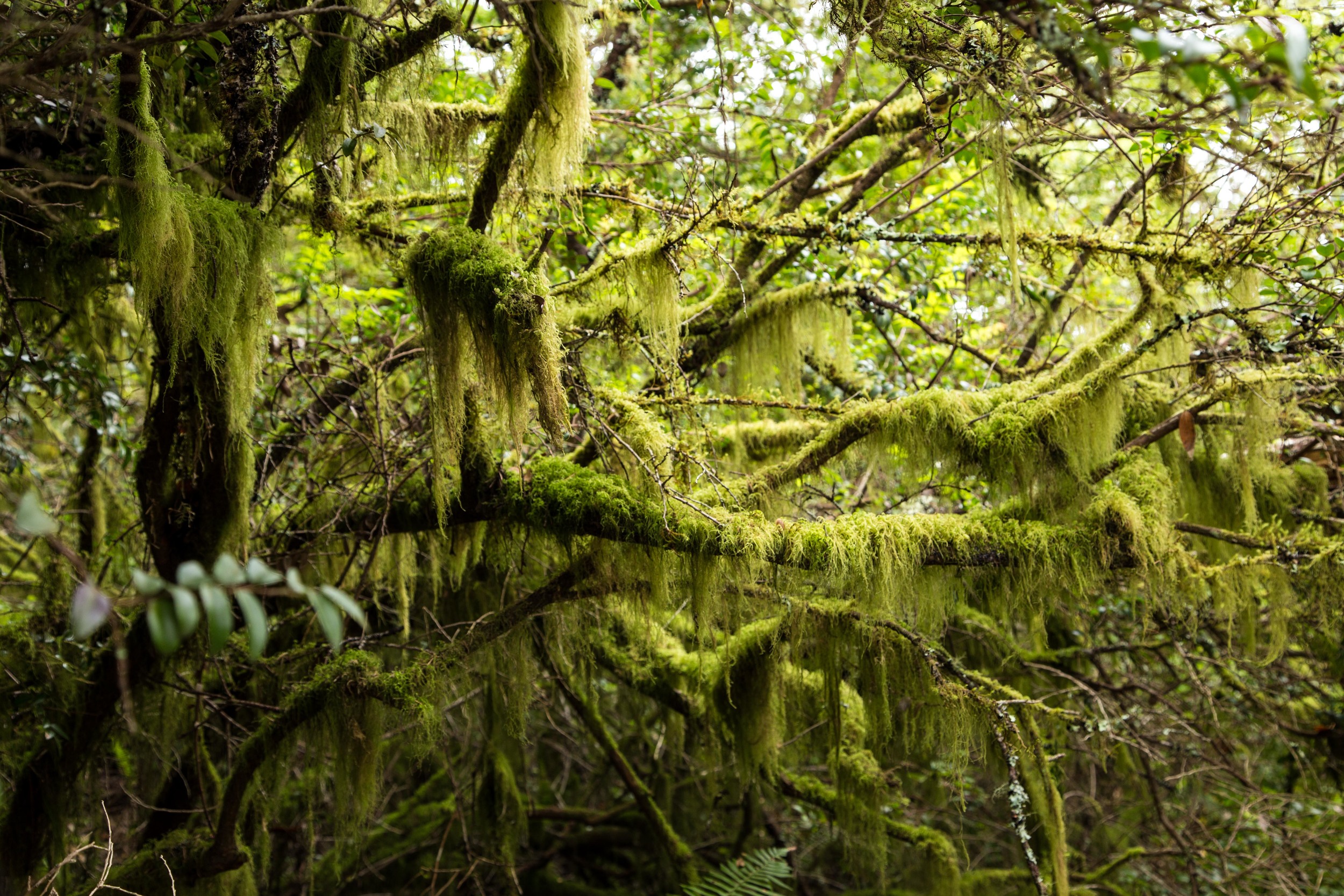
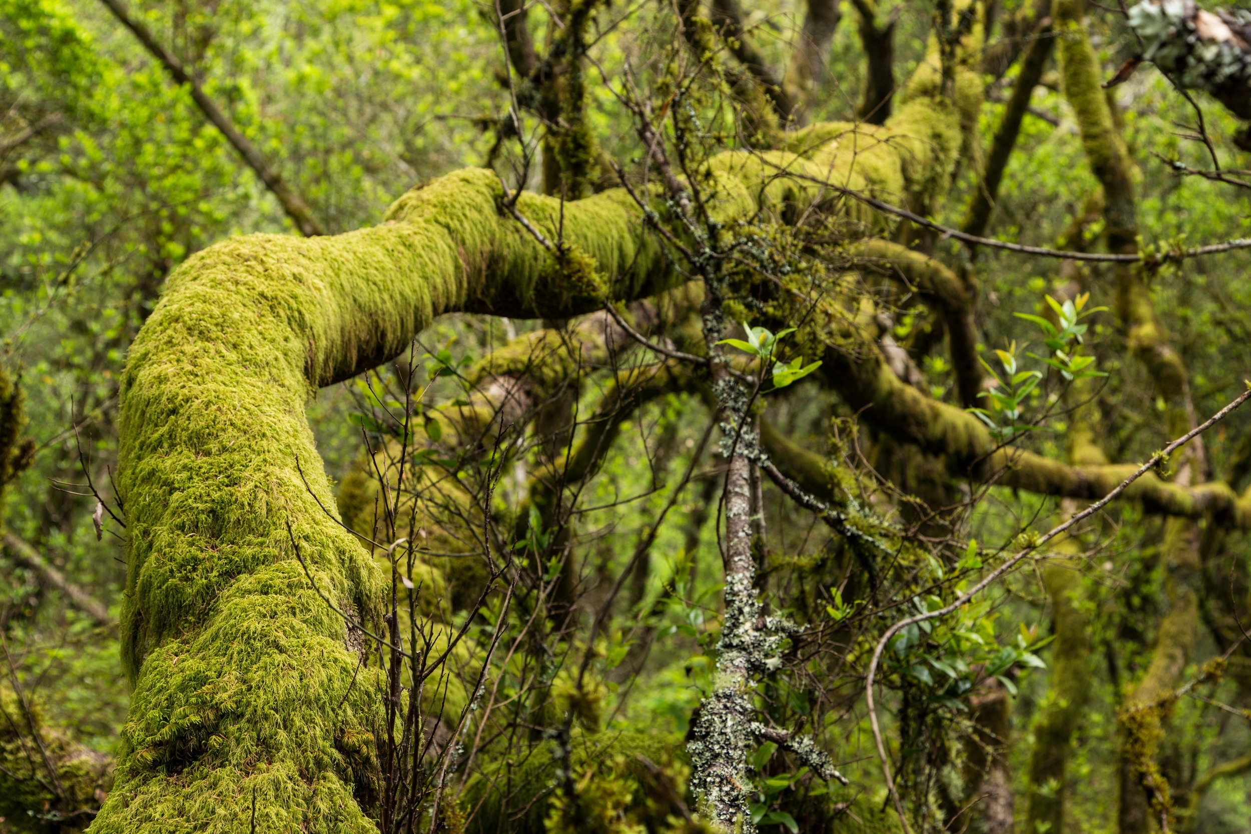

It's easy to overlook the elegant beauty of this forest due to the speed of the descent and the focus on observing the ankle twisting rocks, roots and steps. Pausing often and allowing time for observation and contemplation is a good idea. There is a free show going on all around you here. Take the time to appreciate the effortless beauty of nature.
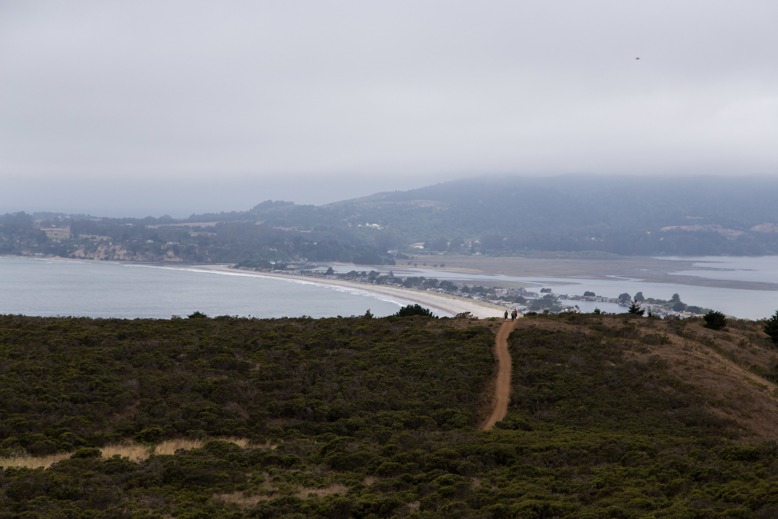
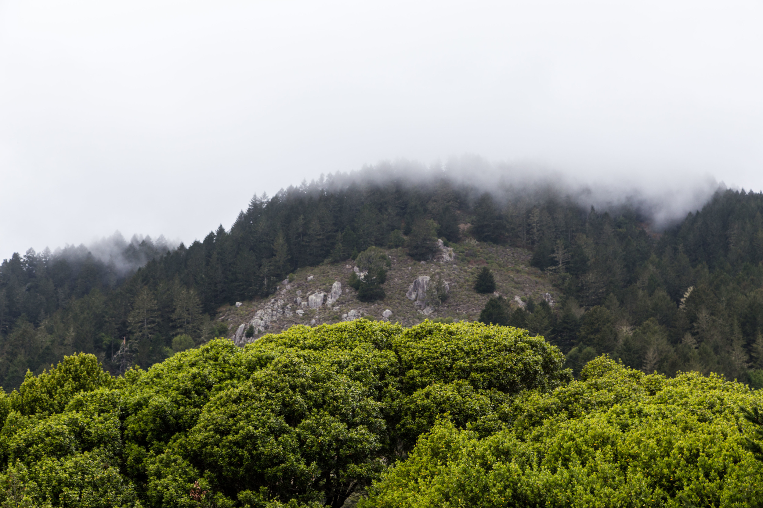
Soon, the trail opens back up again, and off in the misty distance, Stinson Beach seems like a very welcoming destination.
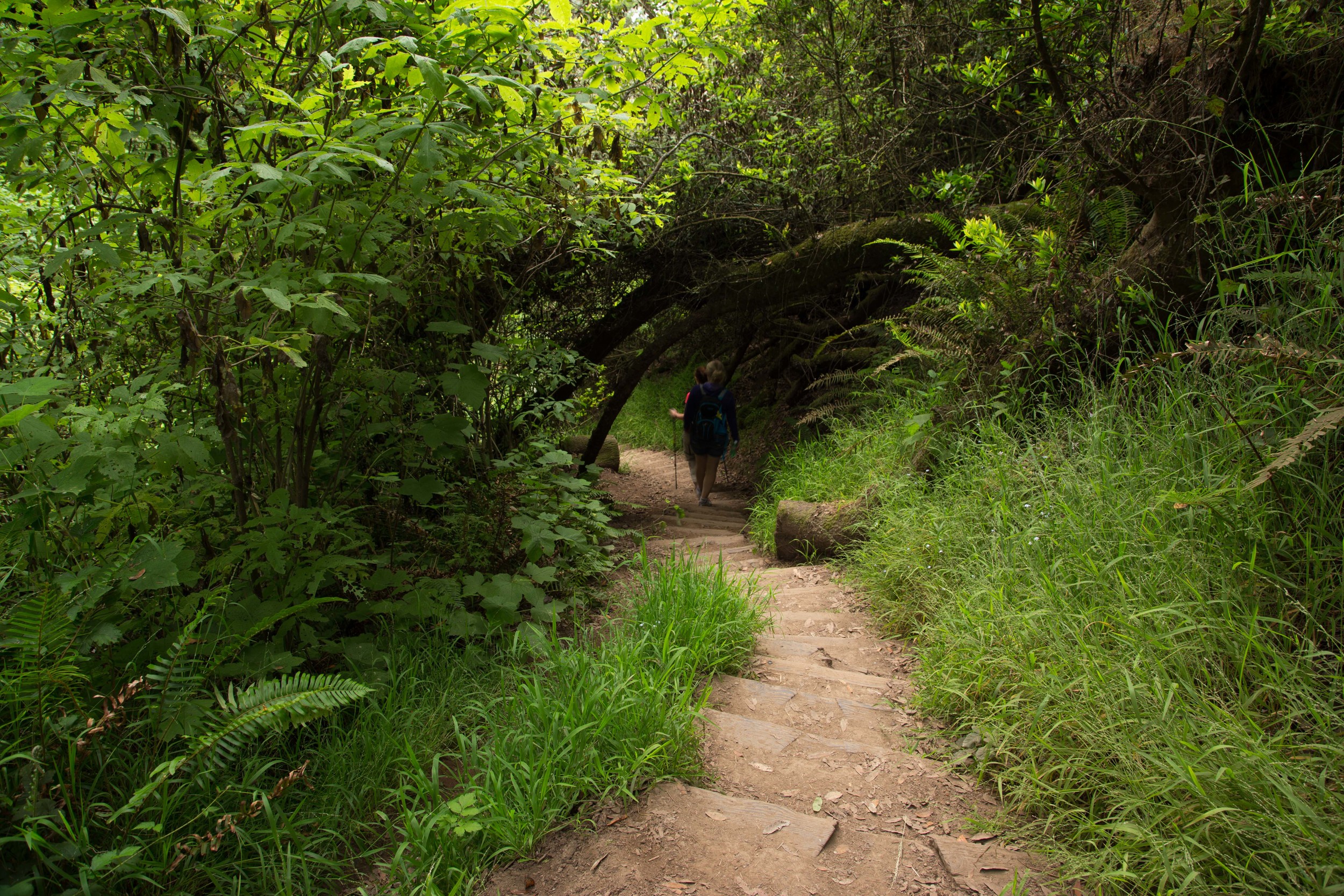
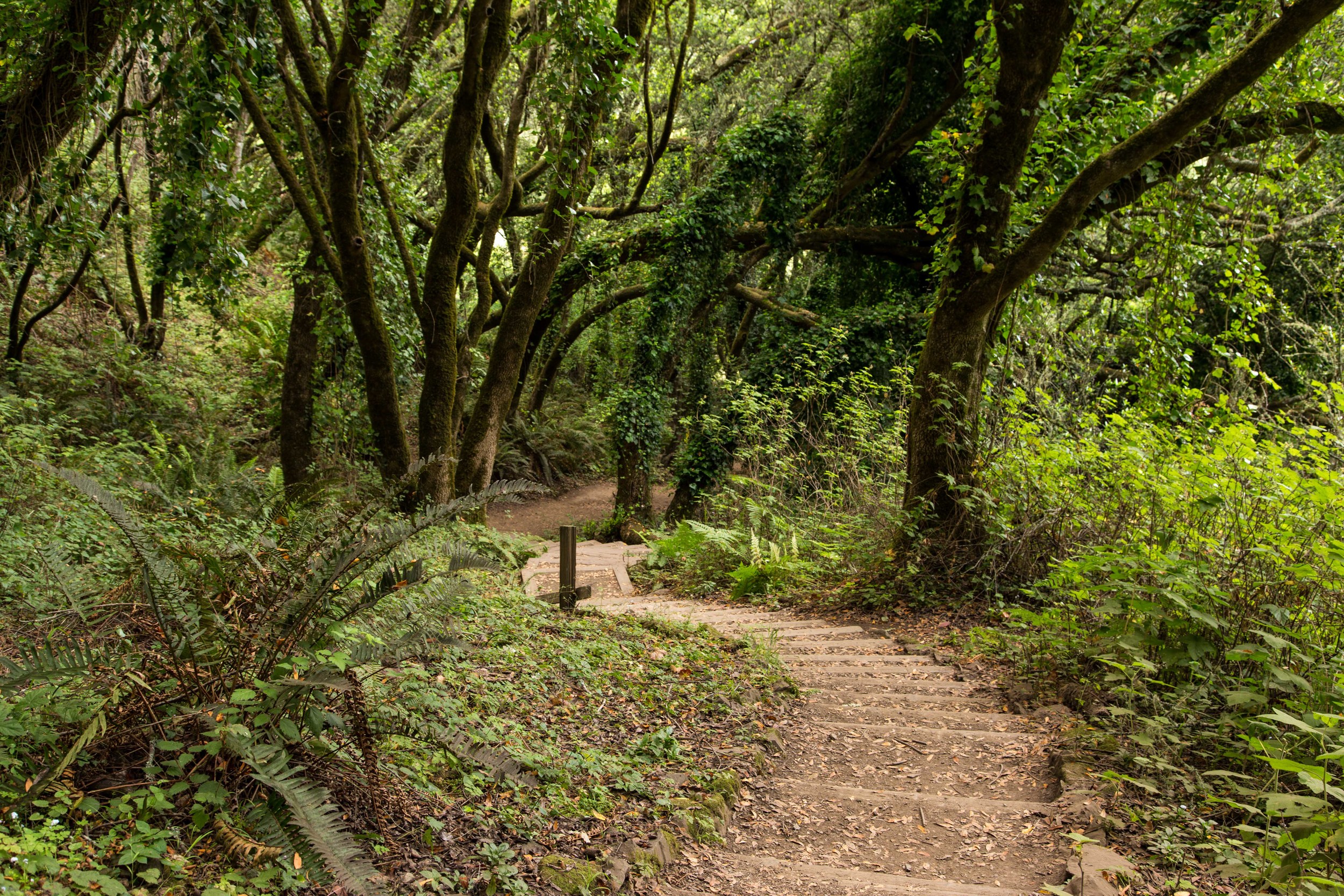
The last section of canopy before the trailhead is some of the nicest. The curves and lines of the stairs are graceful but precarious. They twist and turn and disappear mysteriously into more canopy, and new beauty is revealed around every curve.

Across the street from the trailhead, and at the back of the parking lot, is the path that leads down to Stinson beach. I walked down the .3 mile gravel and dirt path and headed for the beach. I snapped a picture and went over and got an ice cream cone at the diner by the beach. Yes! A great finish to an awesome hike.


