- Location: Carquinez Regional Shoreline
- Route: Franklin Loop Trail
- Mileage: Approximately 2.5 miles
- Difficulty Level: Moderate, some steep climbs
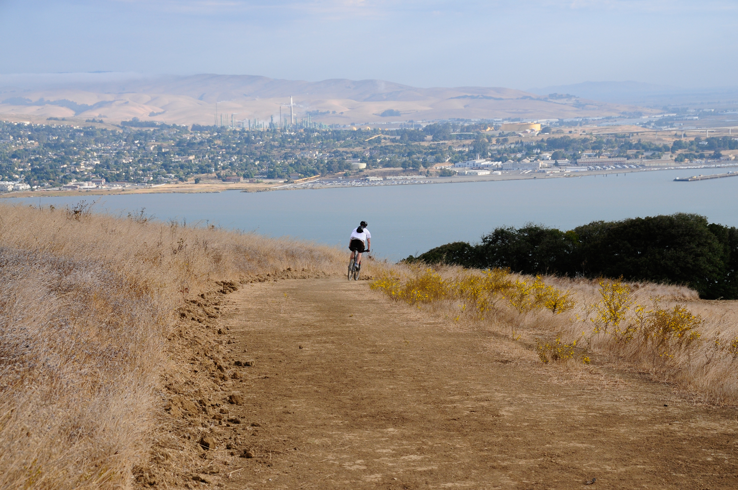
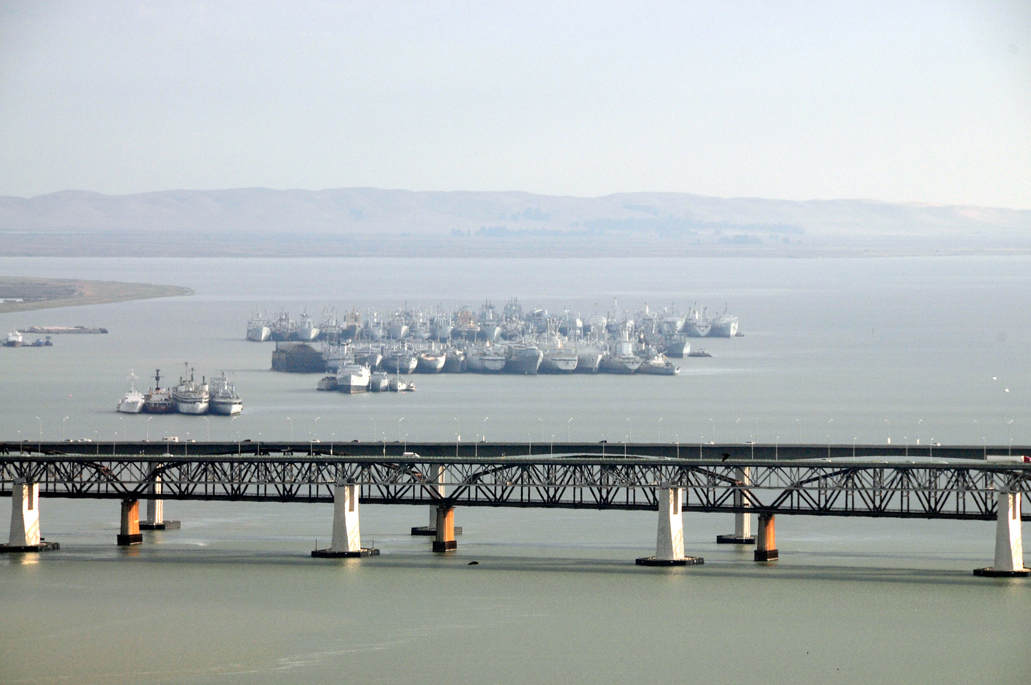
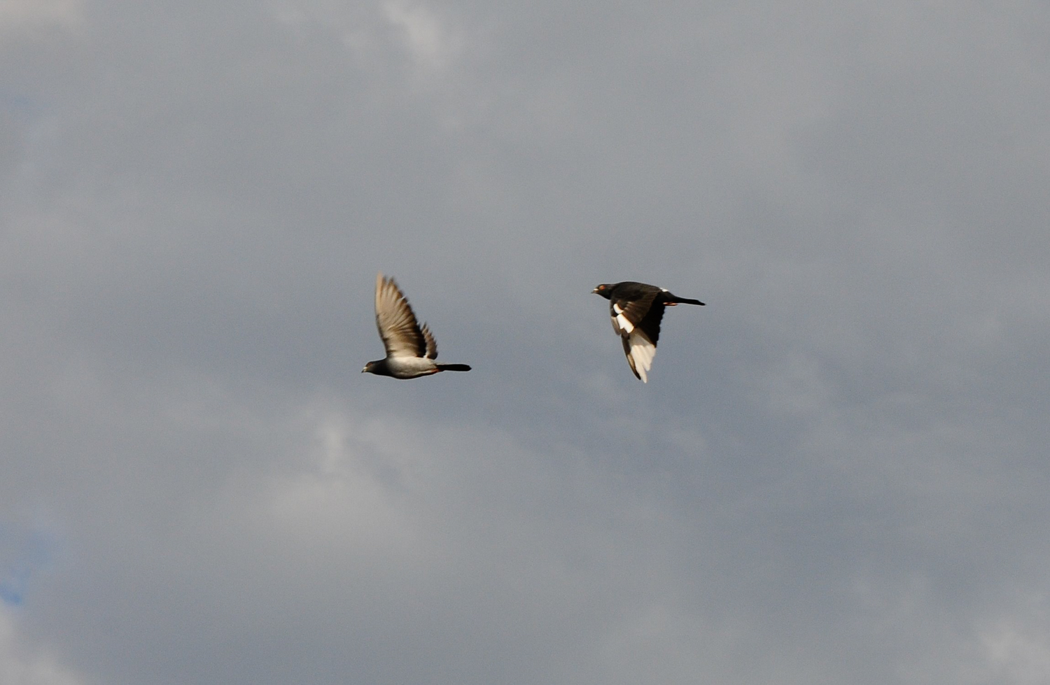
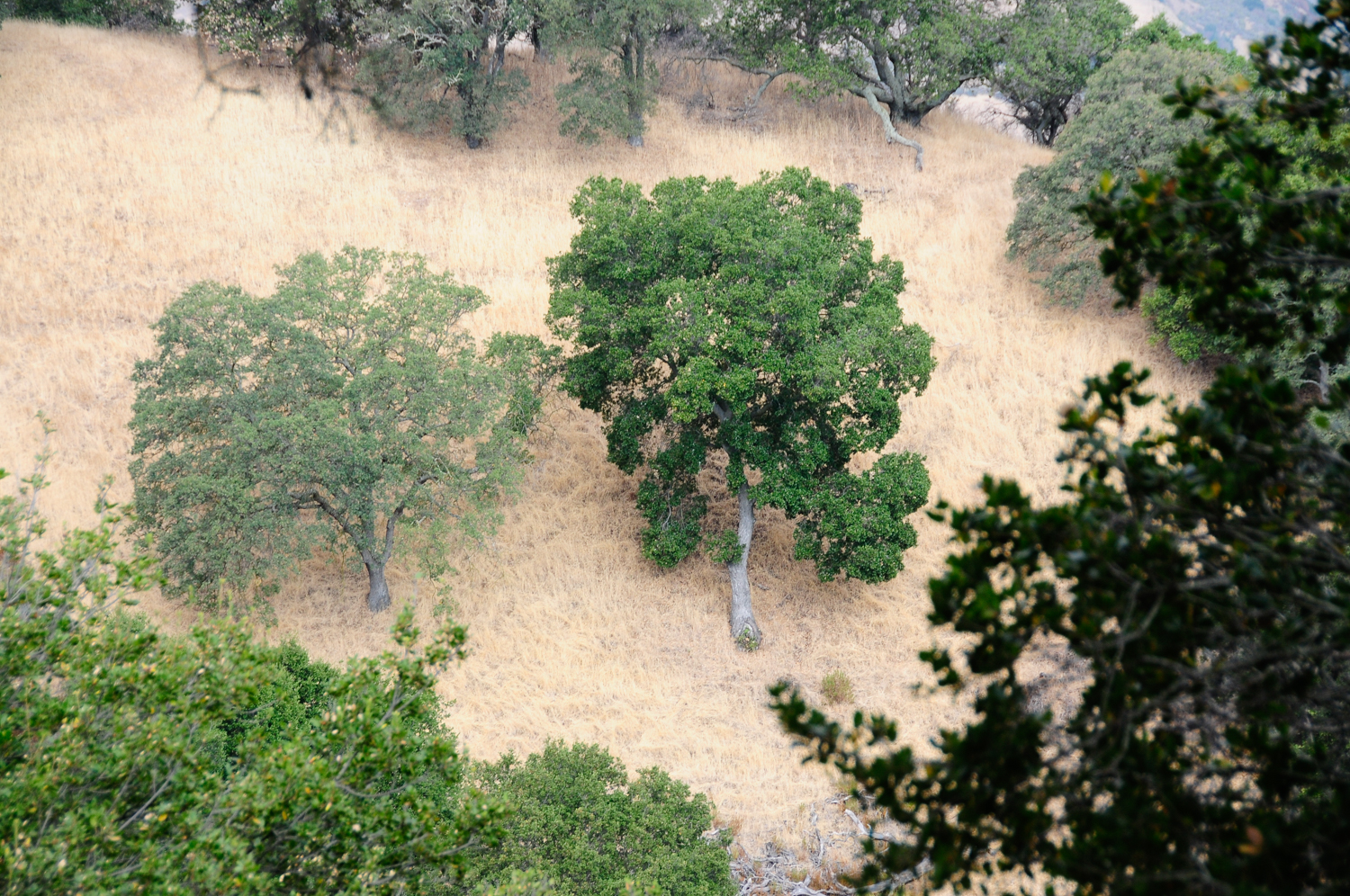
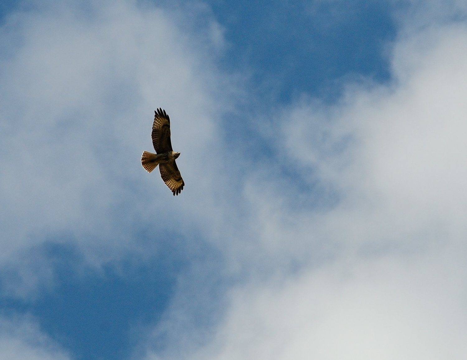
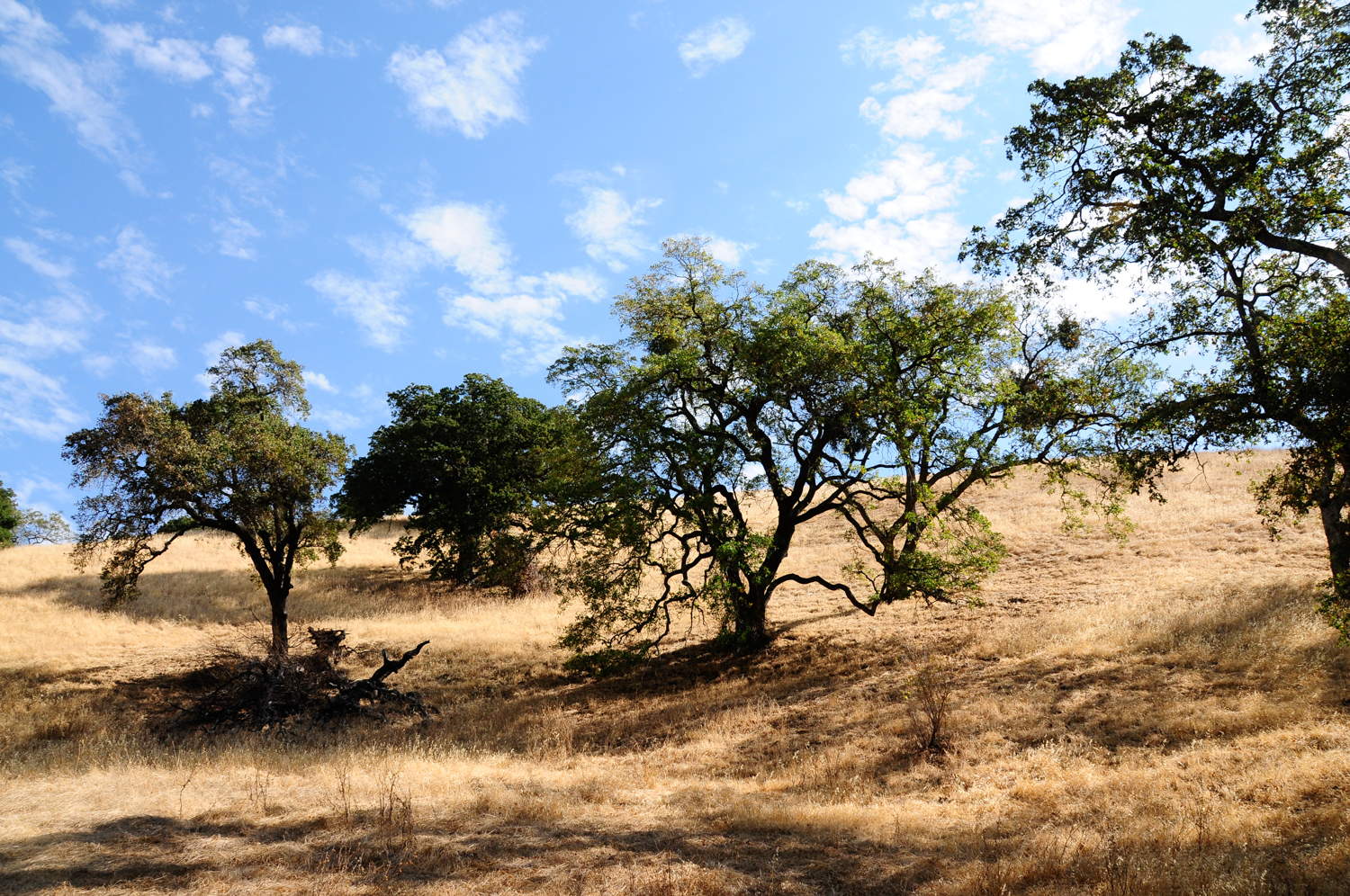
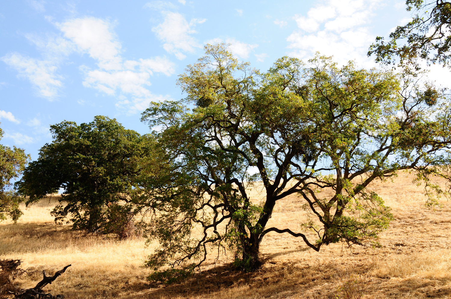
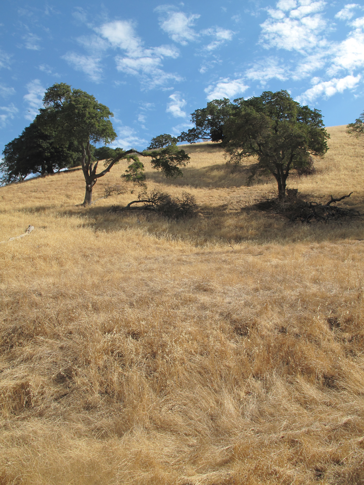
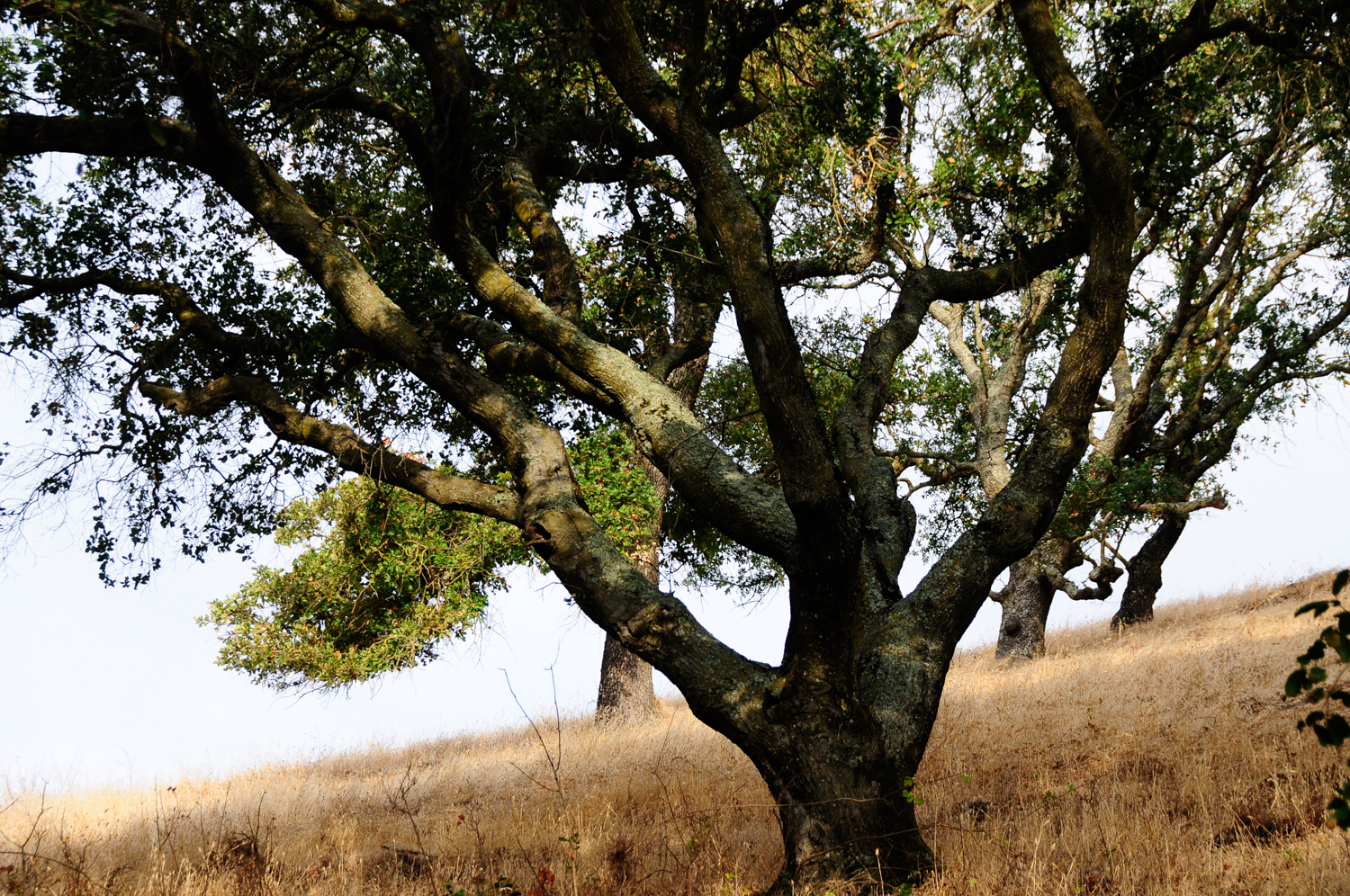
- Description: Great Place for birding, with moderate climbs, riparian corridor, and expansive views of the Carquinez Strait.
- Trail Map: East Bay Parks Map Page
- Trailhead and Parking:
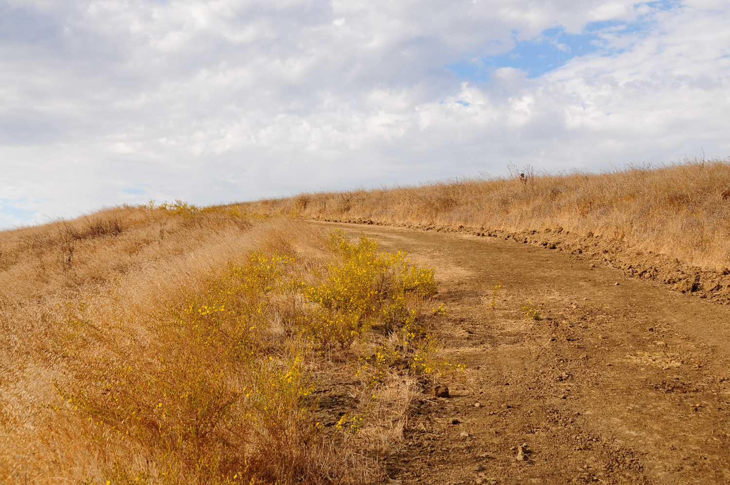
Image Highlights: