
I believe hiking and trail running are great ways to exercise, and a lot of people feel the same way. The challenge is fitting in a hike or a trail run when you have a busy schedule, especially during the week. Wouldn't it be nice if you could get off work, hike or run through beautiful groves of Oaks and Bay trees, and eat dinner in a grove of towering Eucalyptus trees?

Kennedy Grove Regional Recreation Area
is a small and accessible park, with bathrooms and ample parking.
It's a great place for a late afternoon hike, since the park closes at 8pm.
Here is a suggestion:
Pack a dinner. Either make something in advance, or bring something to barbecue. Kennedy Grove has grills, so you can have a cook out.
After work, drive to the park, pay the $5 parking fee, and take this hike. Either run it, or walk it at a steady pace. Even though the hike is short, the elevation change and the steep grade will make this a good workout. After the hike, relax and enjoy yourself in the picnic area. Groups can reserve picnic sections by calling
1-888-EBPARKS or 1-888-327-2757, and pressing option 2.
Note: Because of the steep grade, this hike is not recommended for small children or seriously deconditioned people. If you don't want to take this hike, the Black Oak Loop Trail is an easier alternative.
Route Instructions:
Start out facing the picnic area. On your left is the where the trail starts. Basically, just walk through the grove of Eucalyptus trees and past the picnic tables and you'll see the trails in the back, left section of the park.

Once there (.20 miles) you'll see the Laurel Loop Trail on your right.
Don't take that trail.
Instead, keep going straight, past the big Oak tree.
At .24 miles you'll see the trail split in to a Y. On your right is the Lower Seafoam Trail. You'll be coming down that trail, but you want to bear left.
This is the Kennedy Creek Trail.
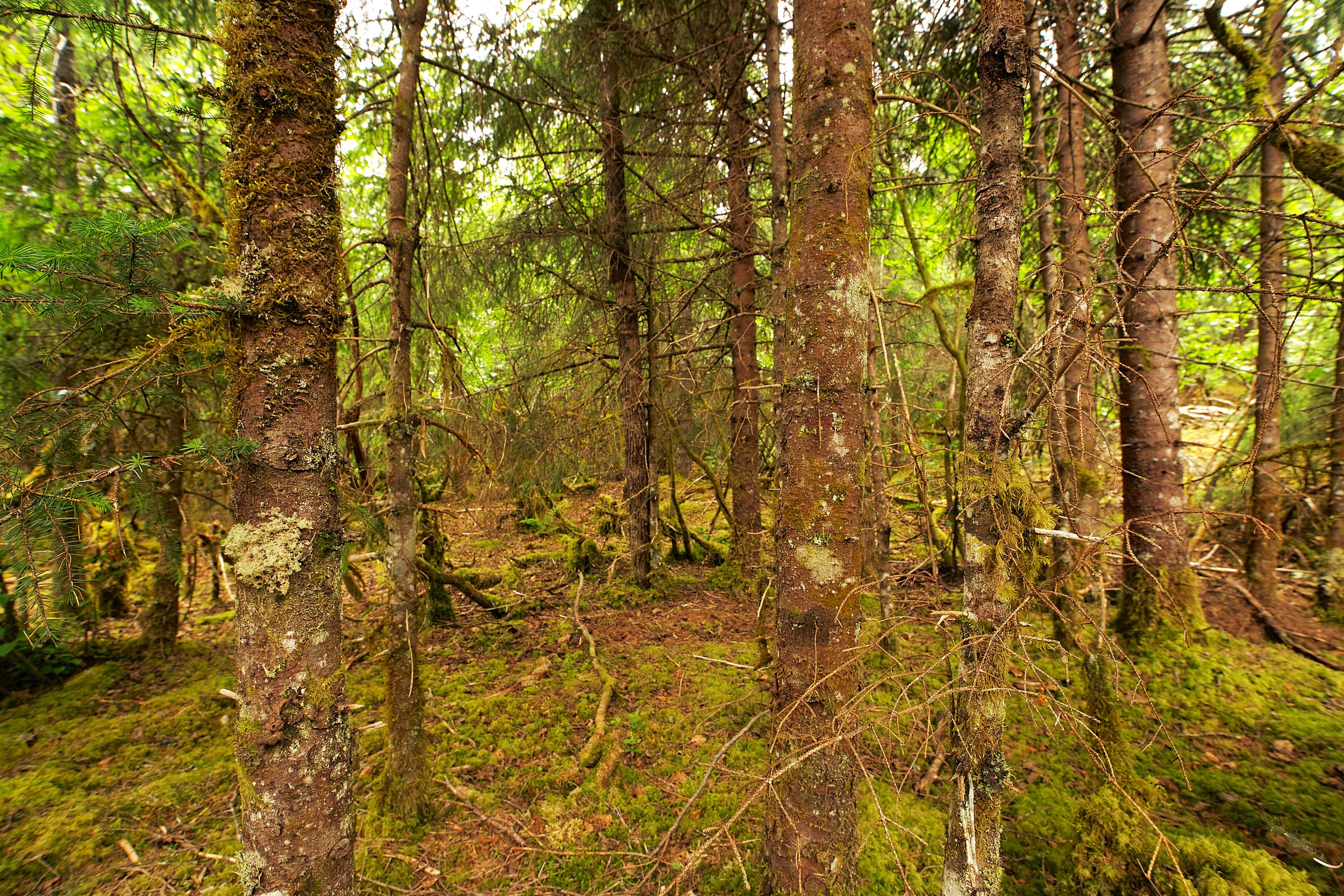
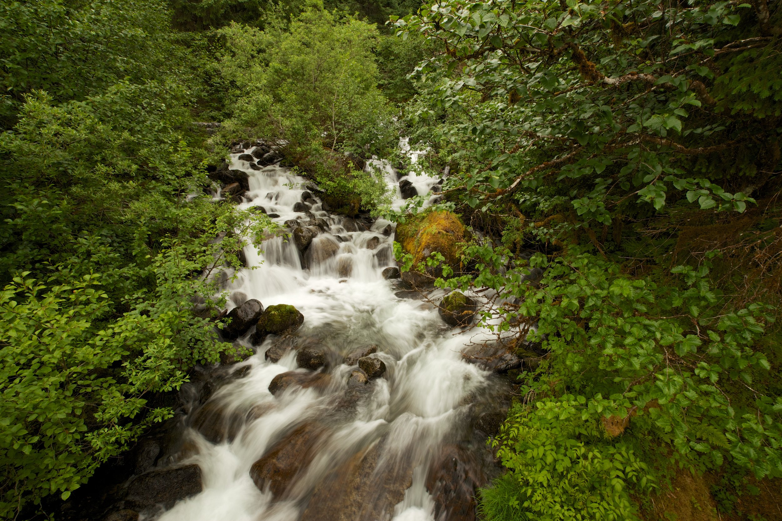
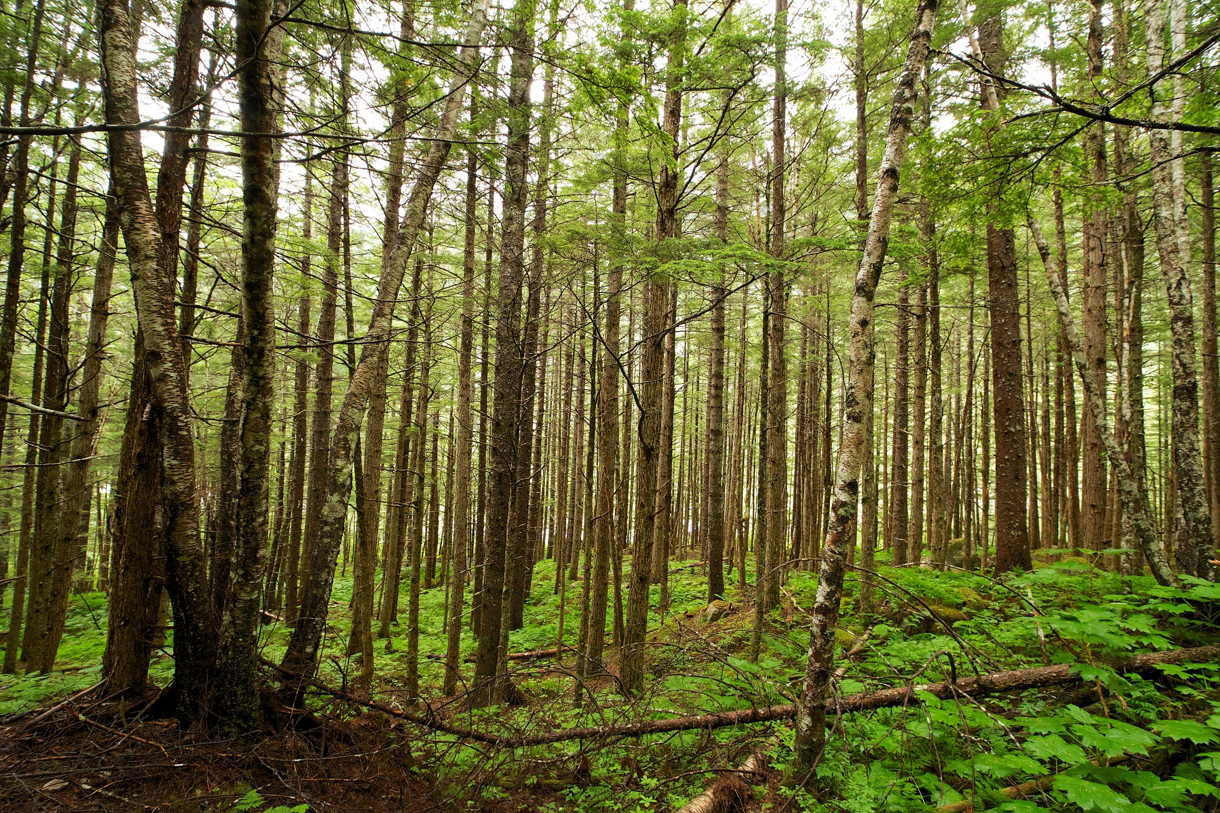
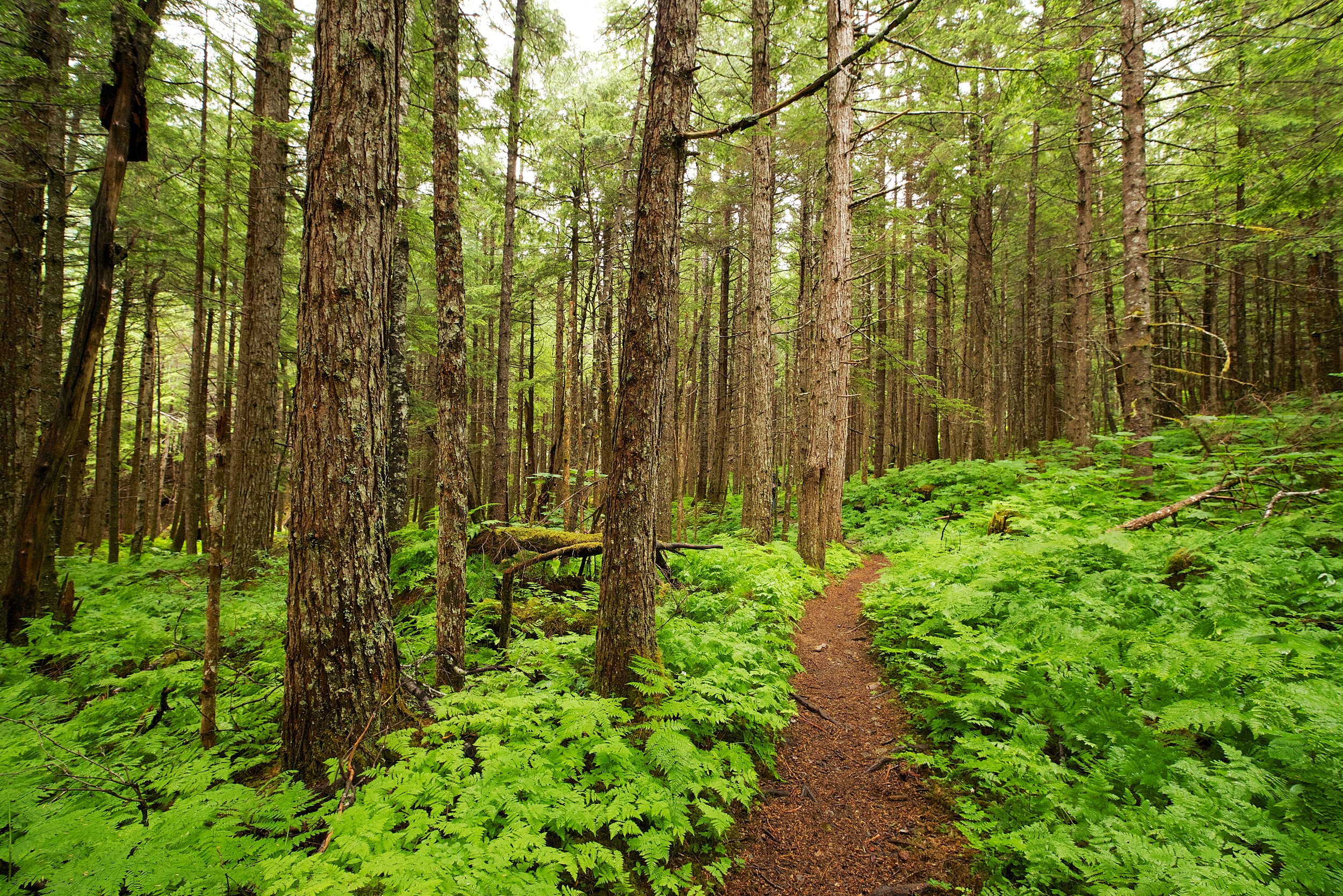
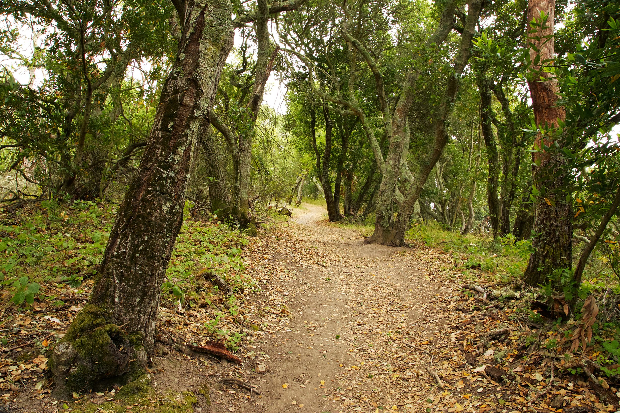
Kennedy Creek Trail is a wide, fire road type trail.
At .54 miles, you'll see a marker missing the trail signs. This is the start of Upper Sea Foam Trail
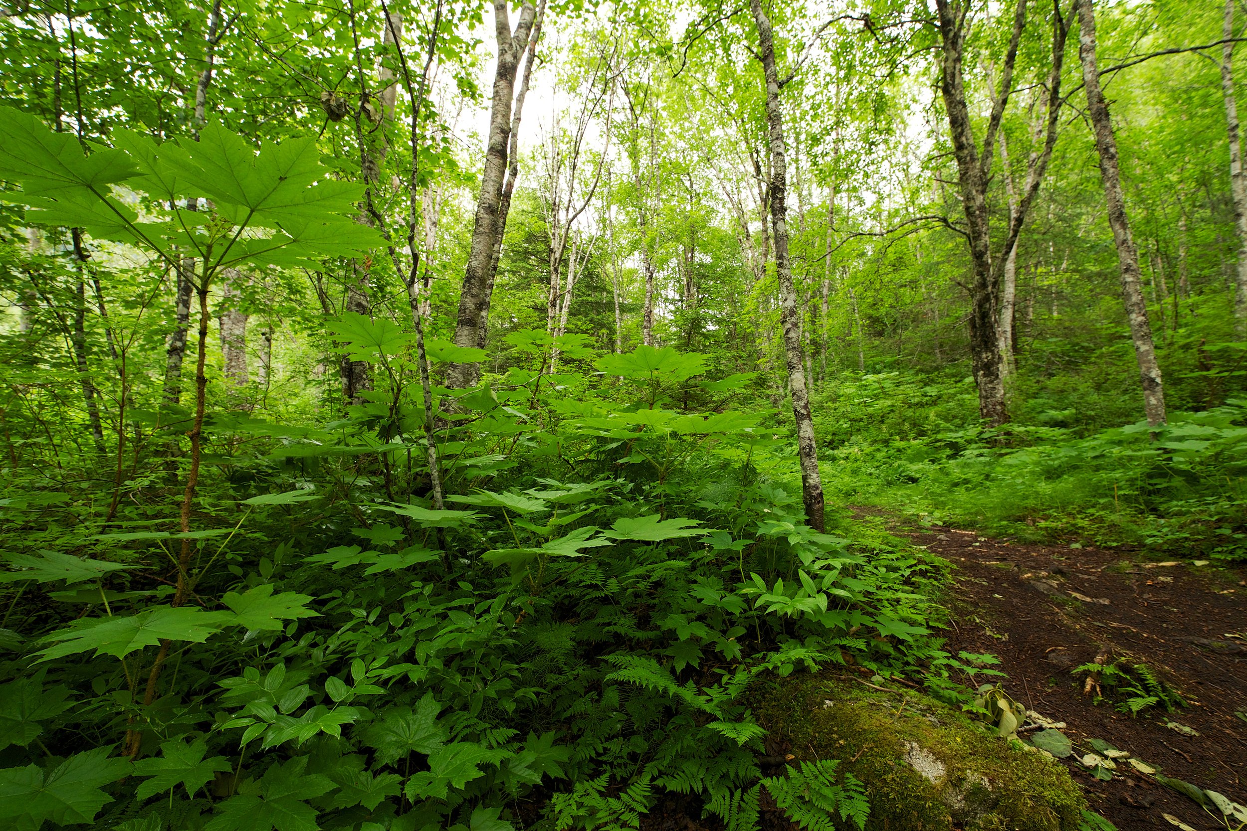
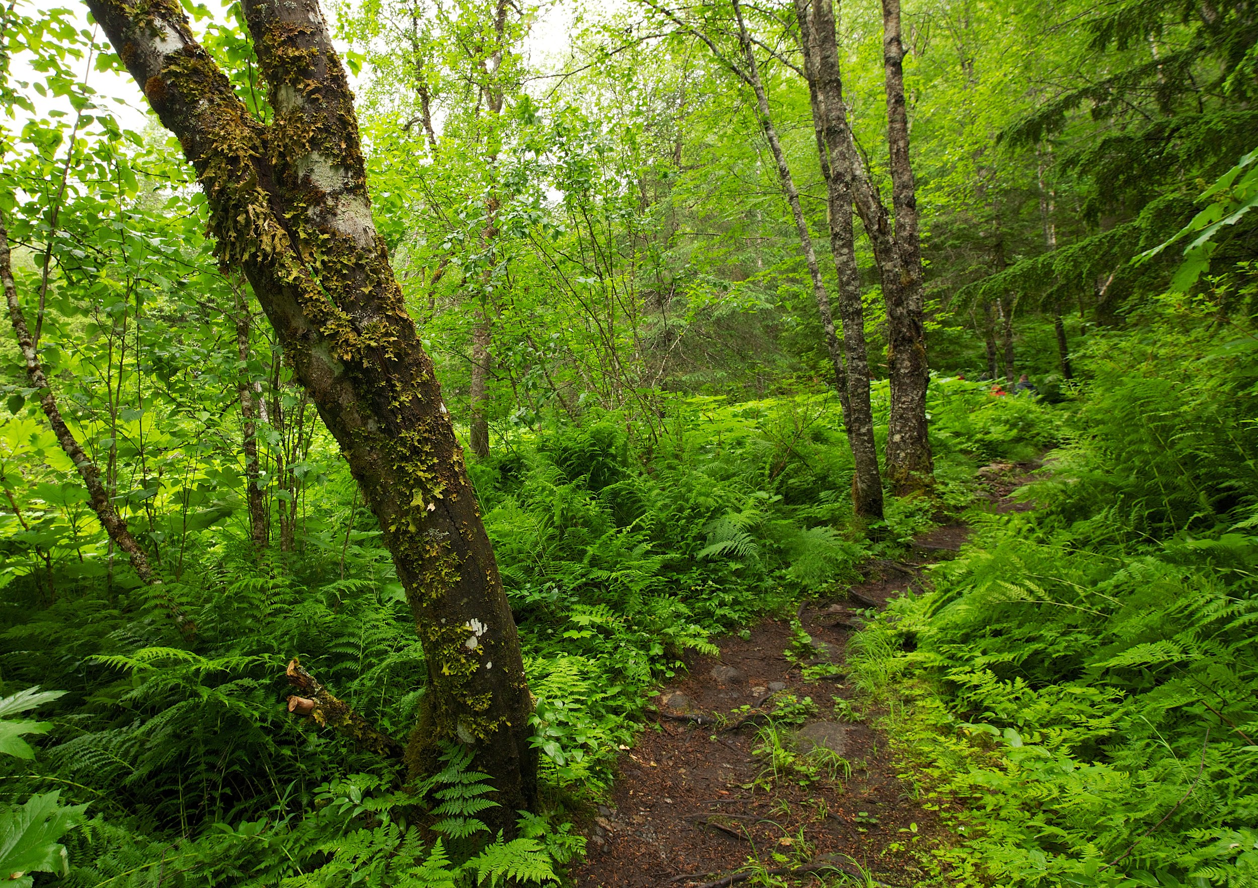
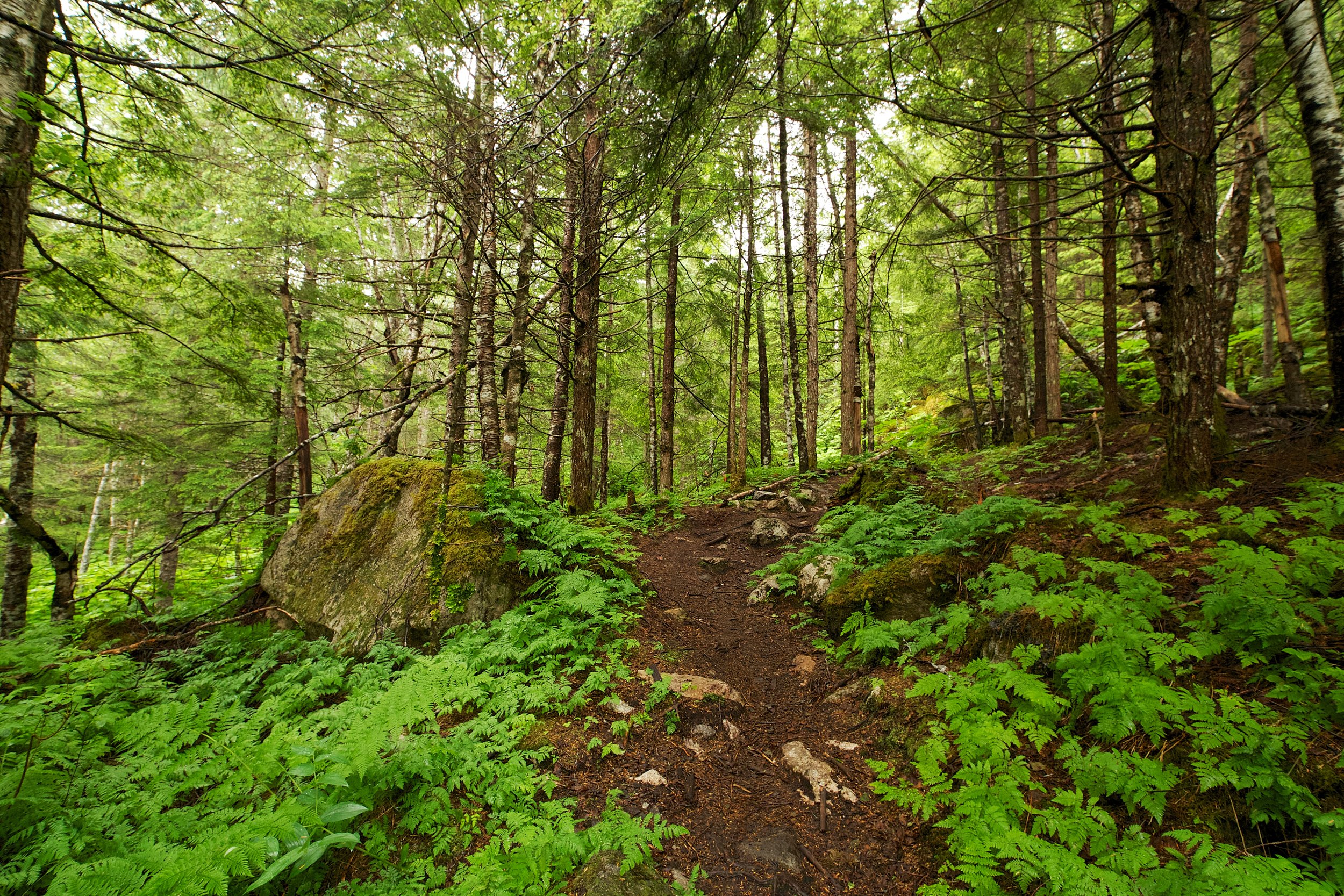
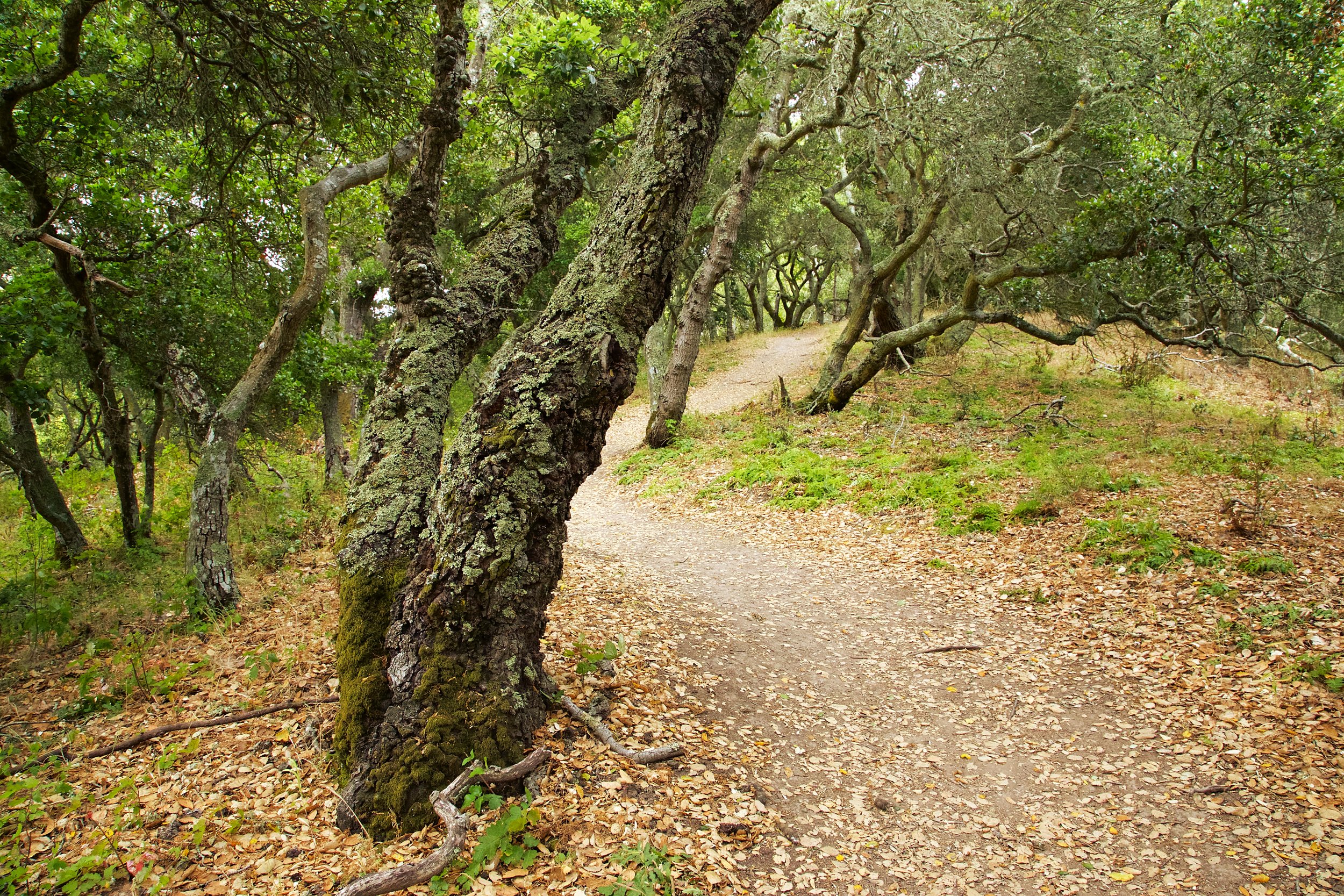
Take this trail (on the right) and start your climb. Upper Sea Foam quickly turns in to a narrow, single track trail.
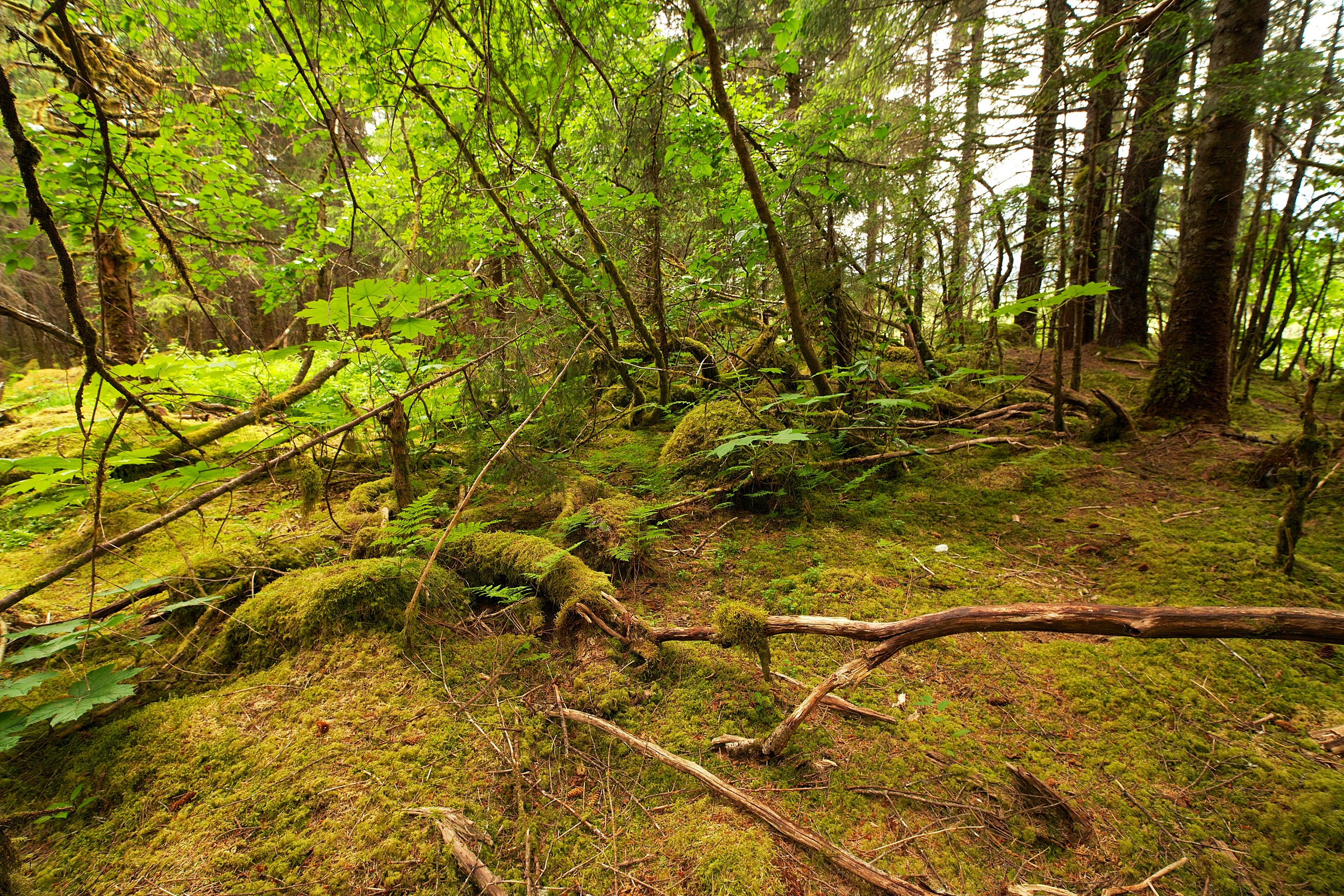
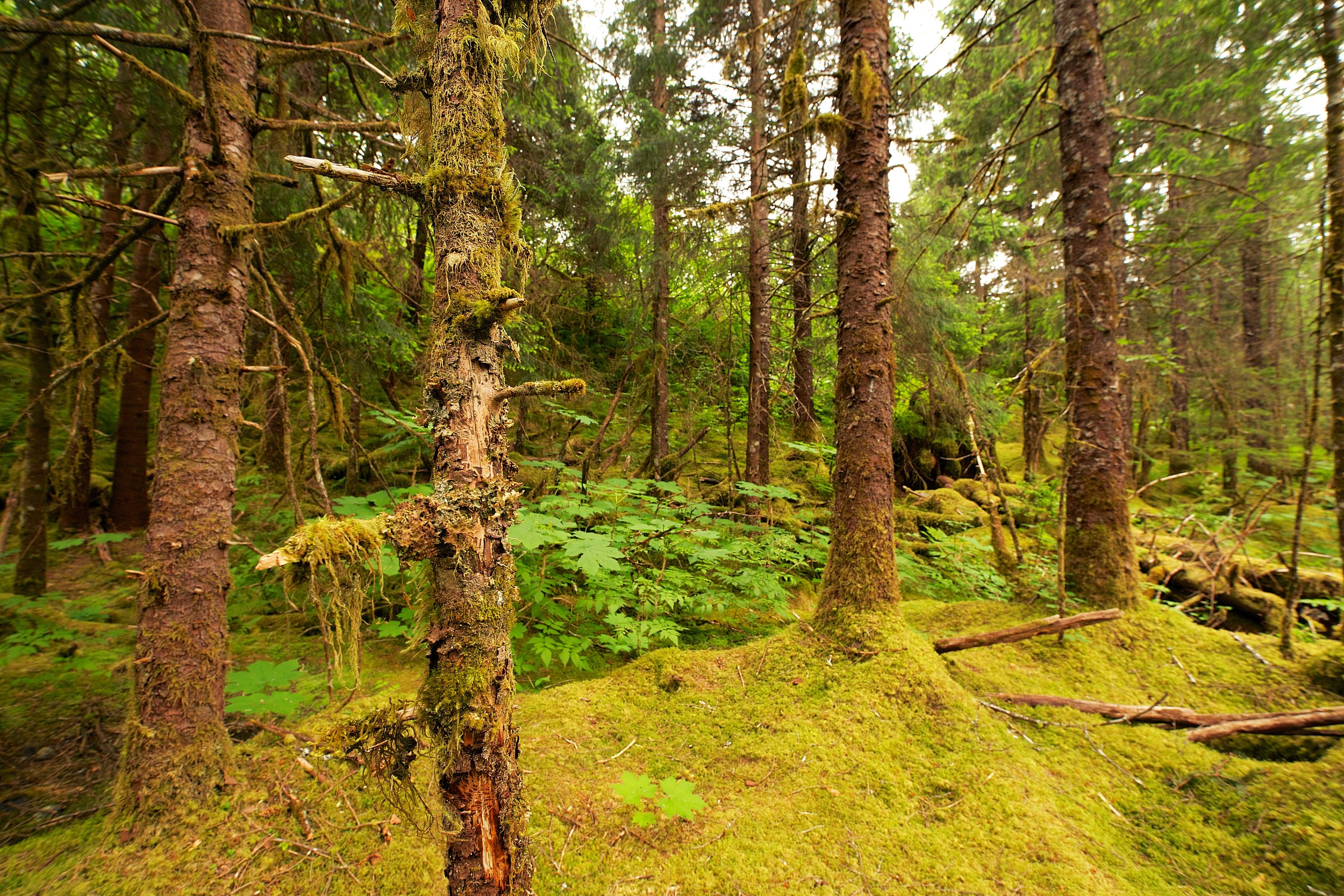
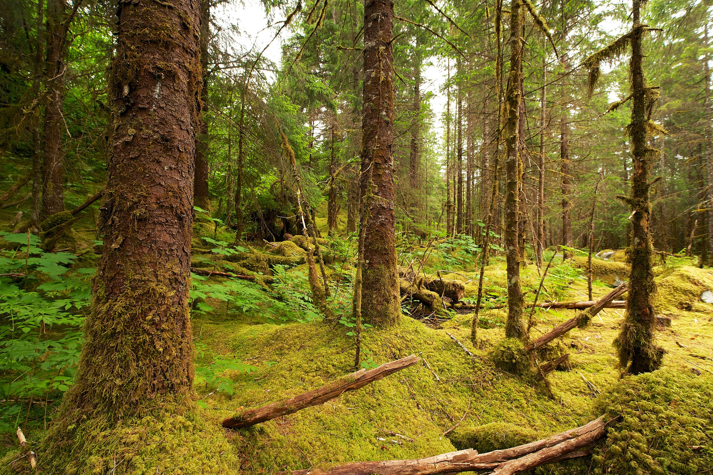
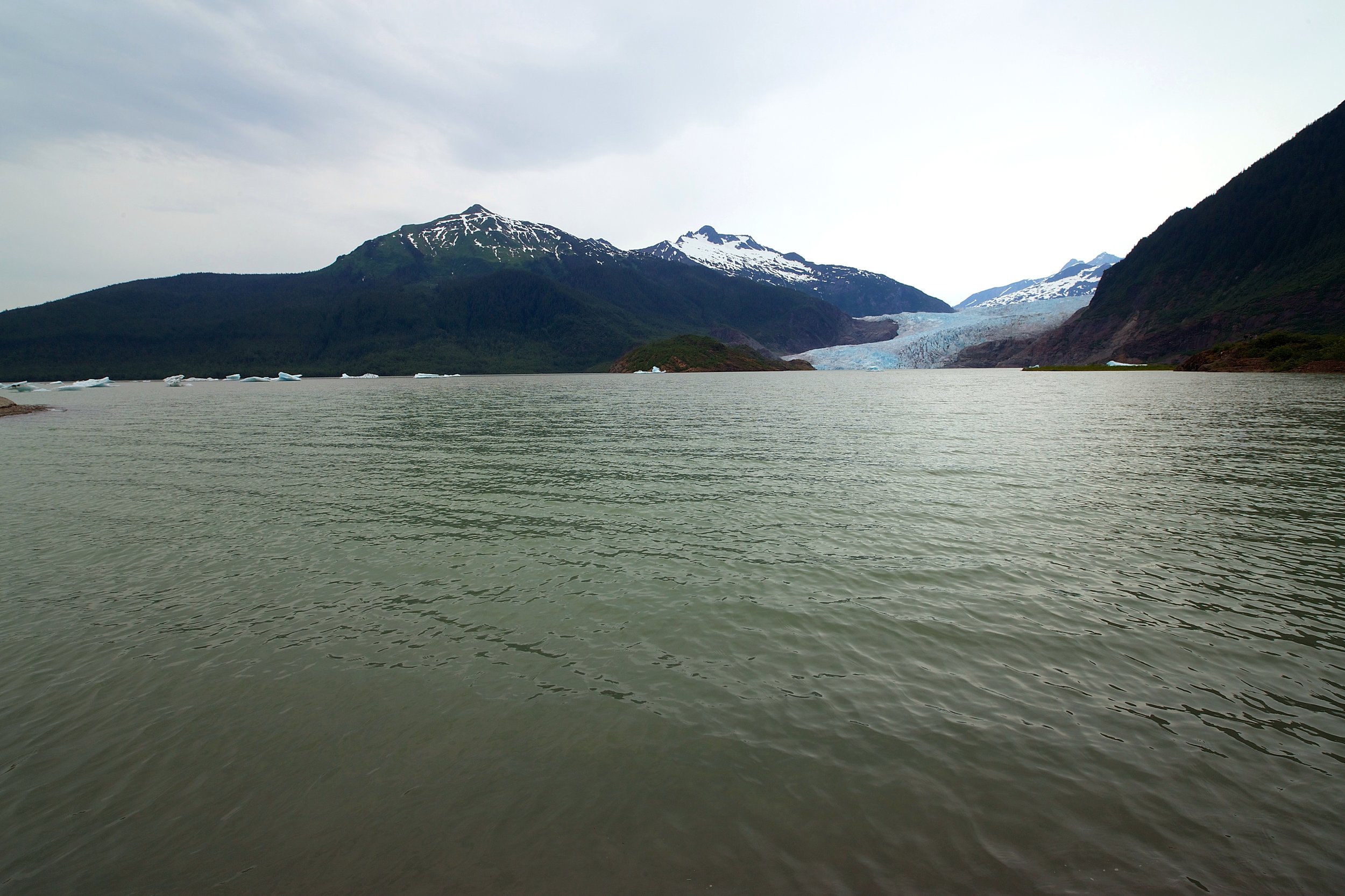
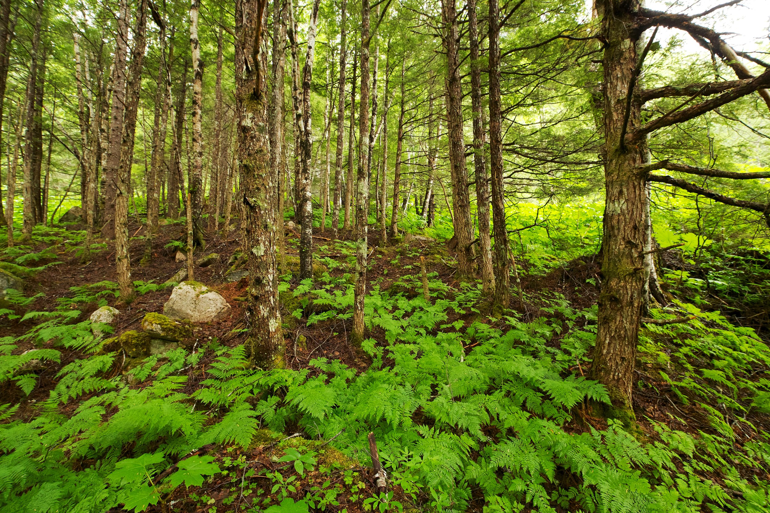
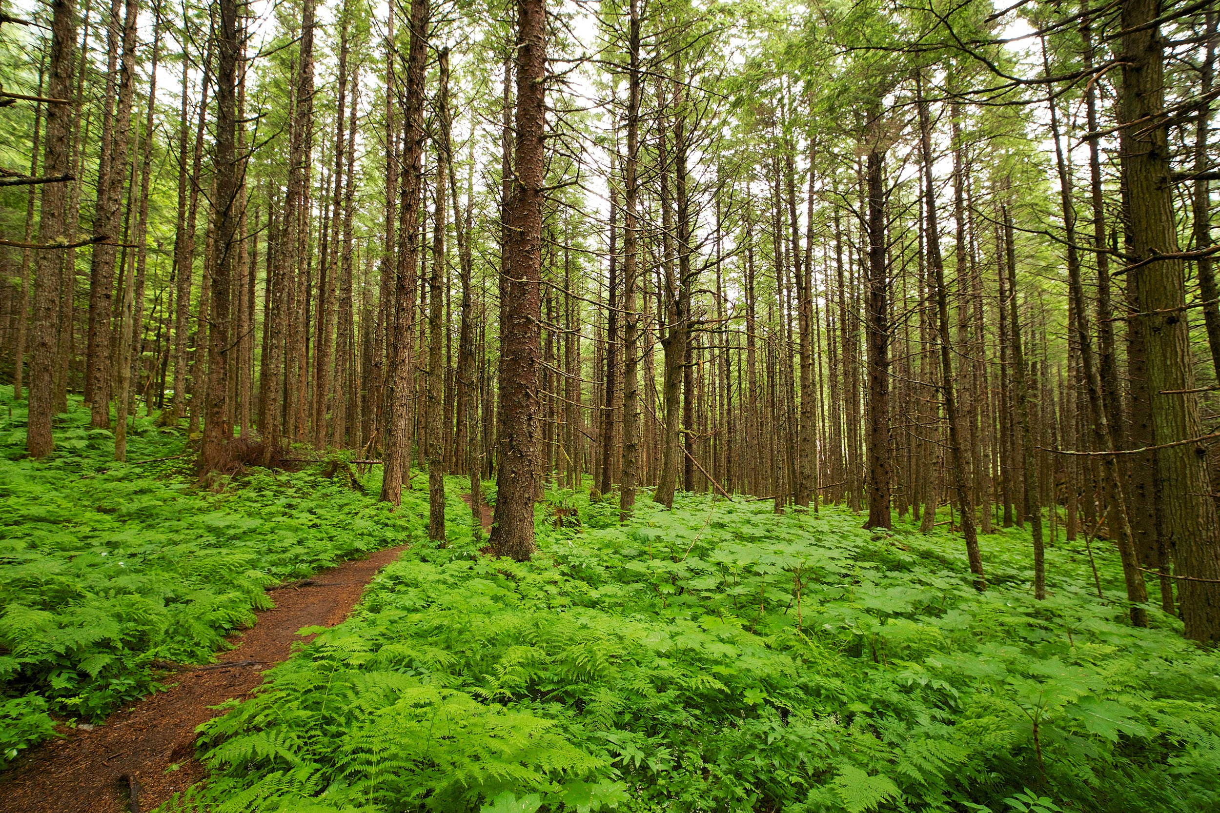
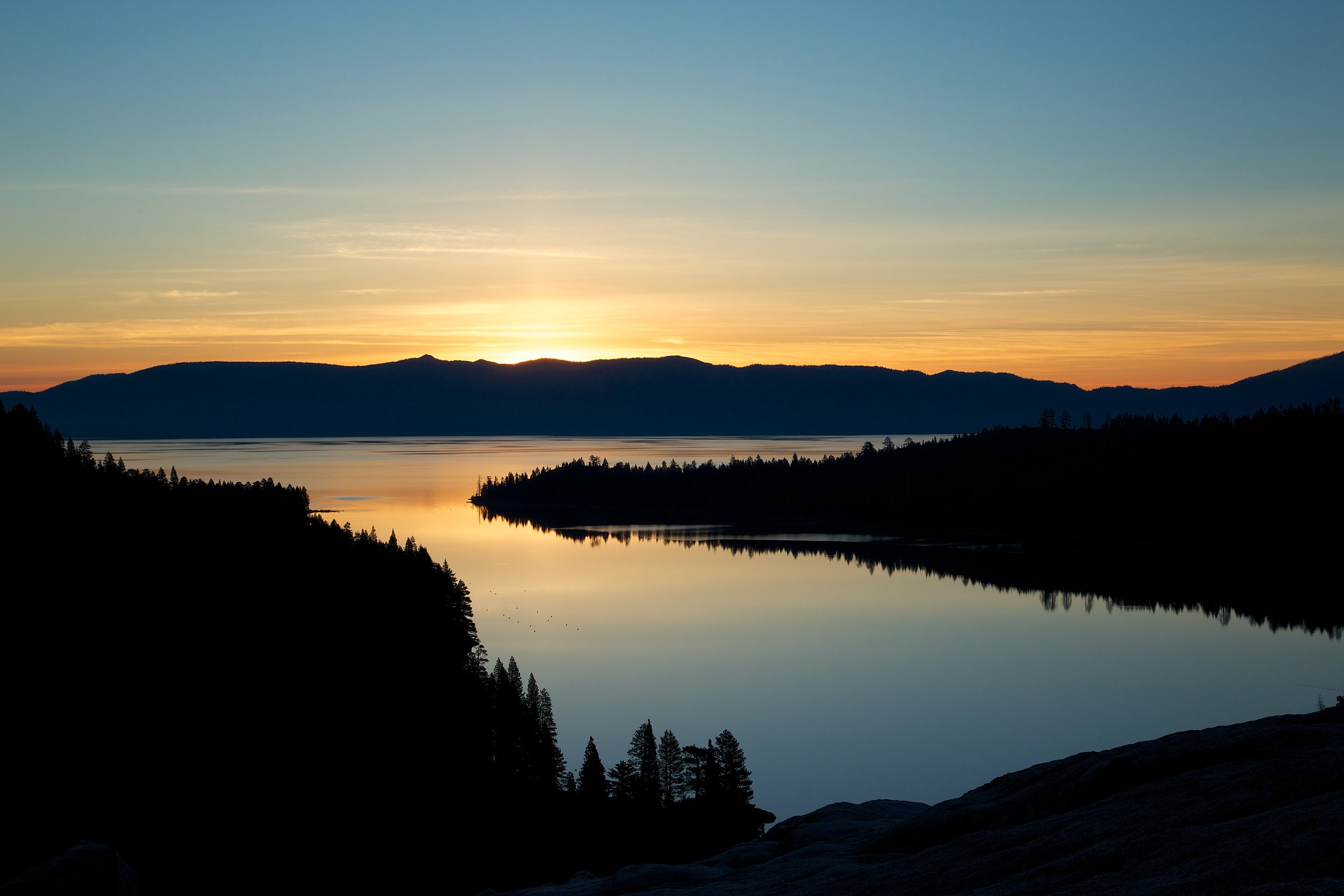
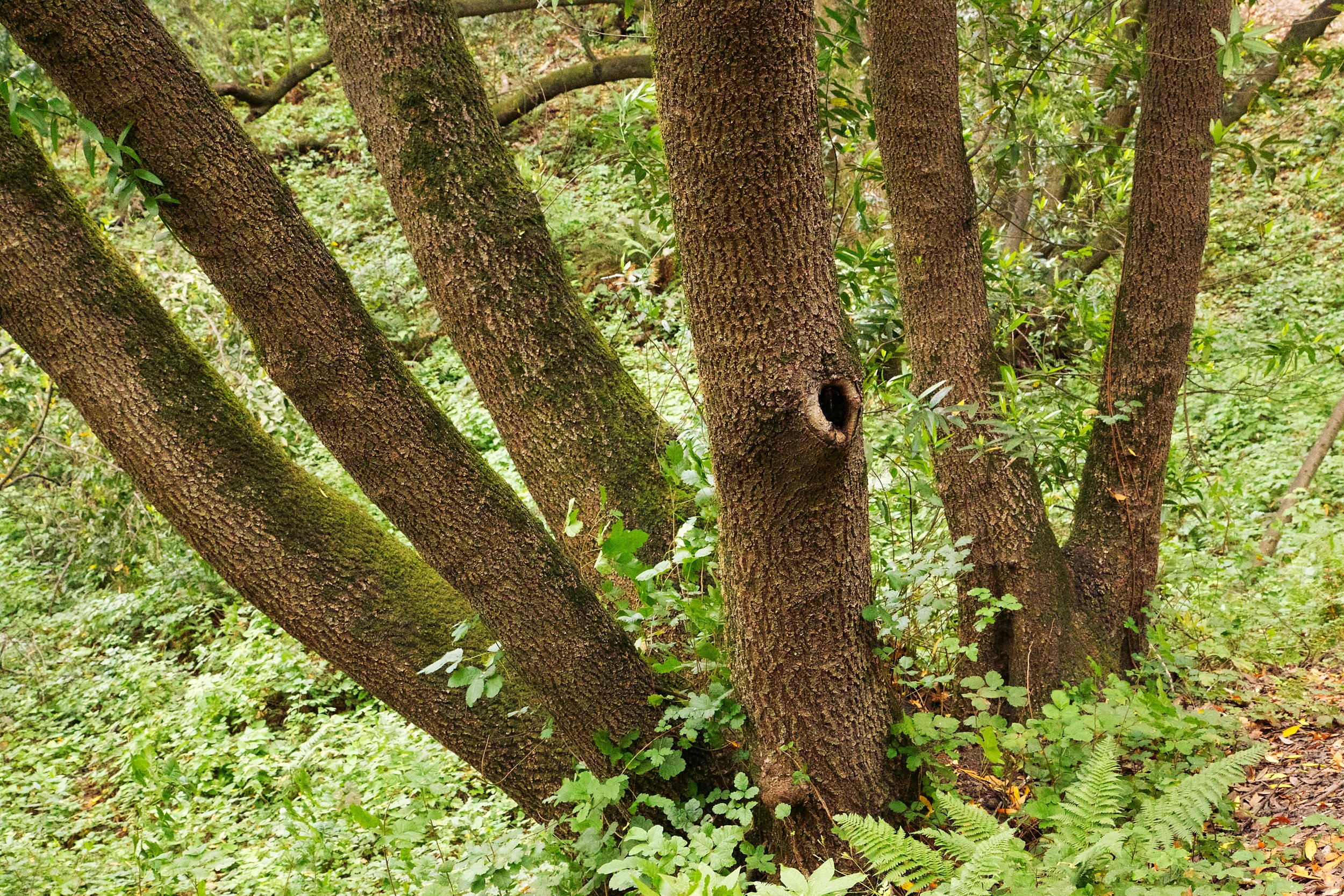
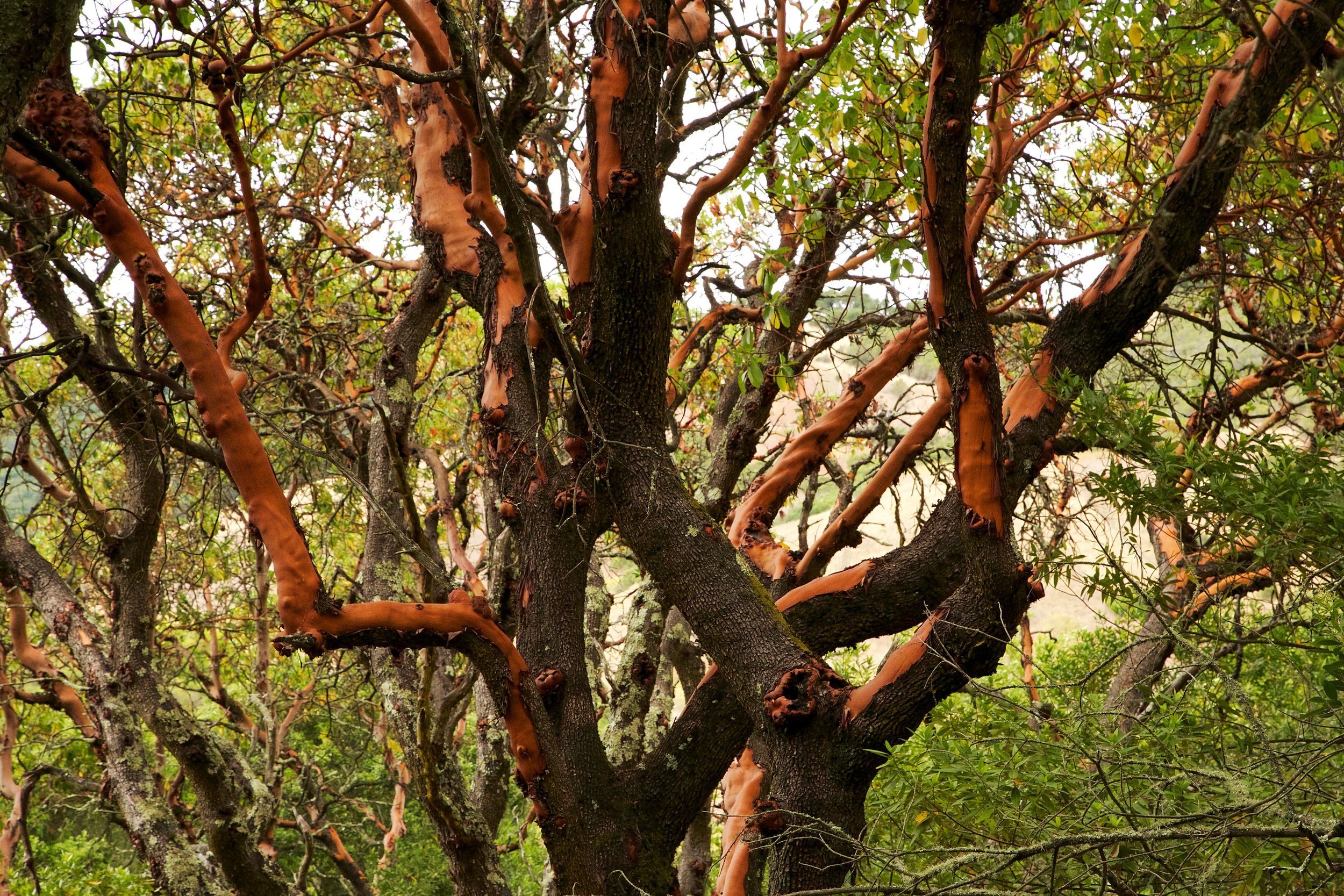
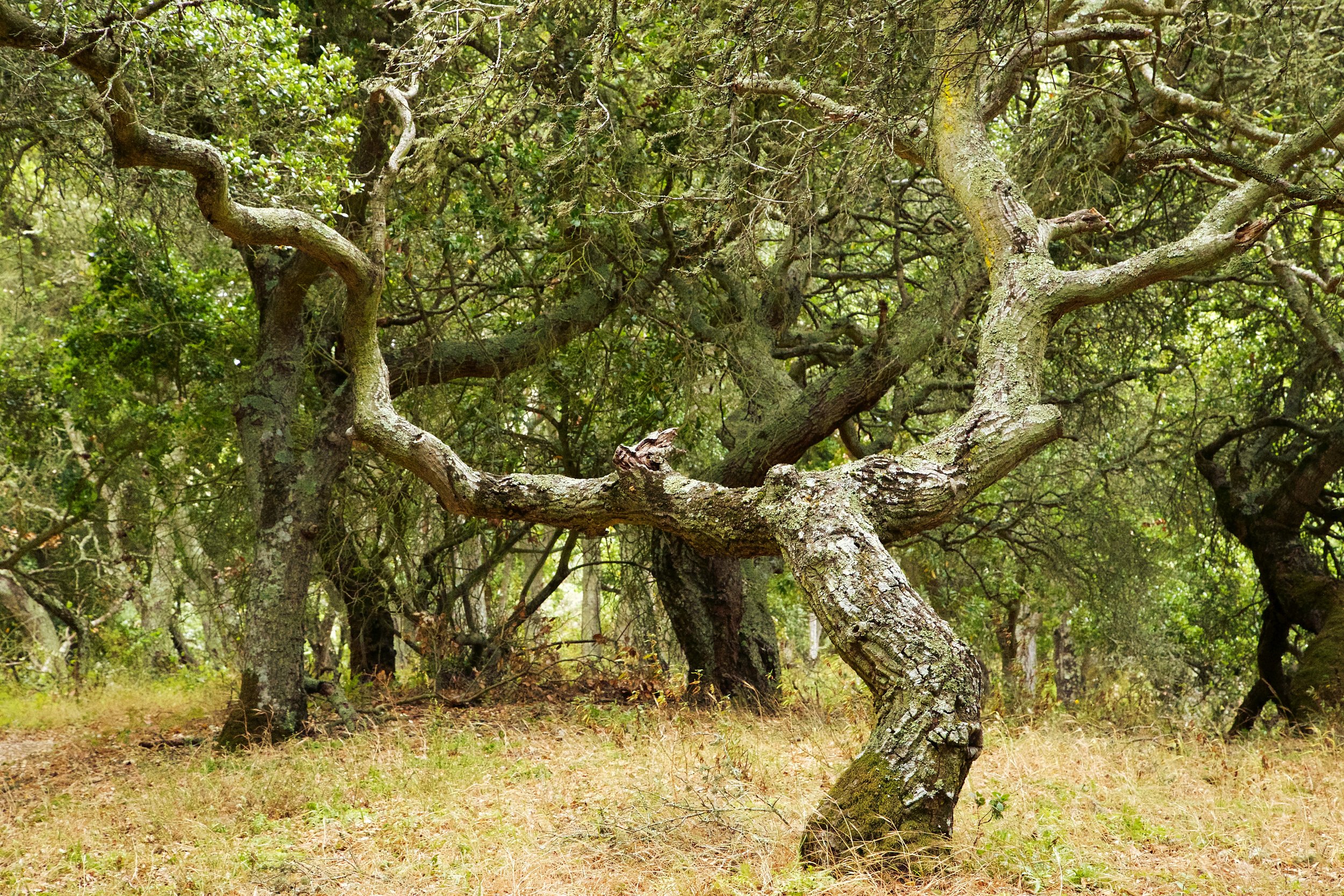
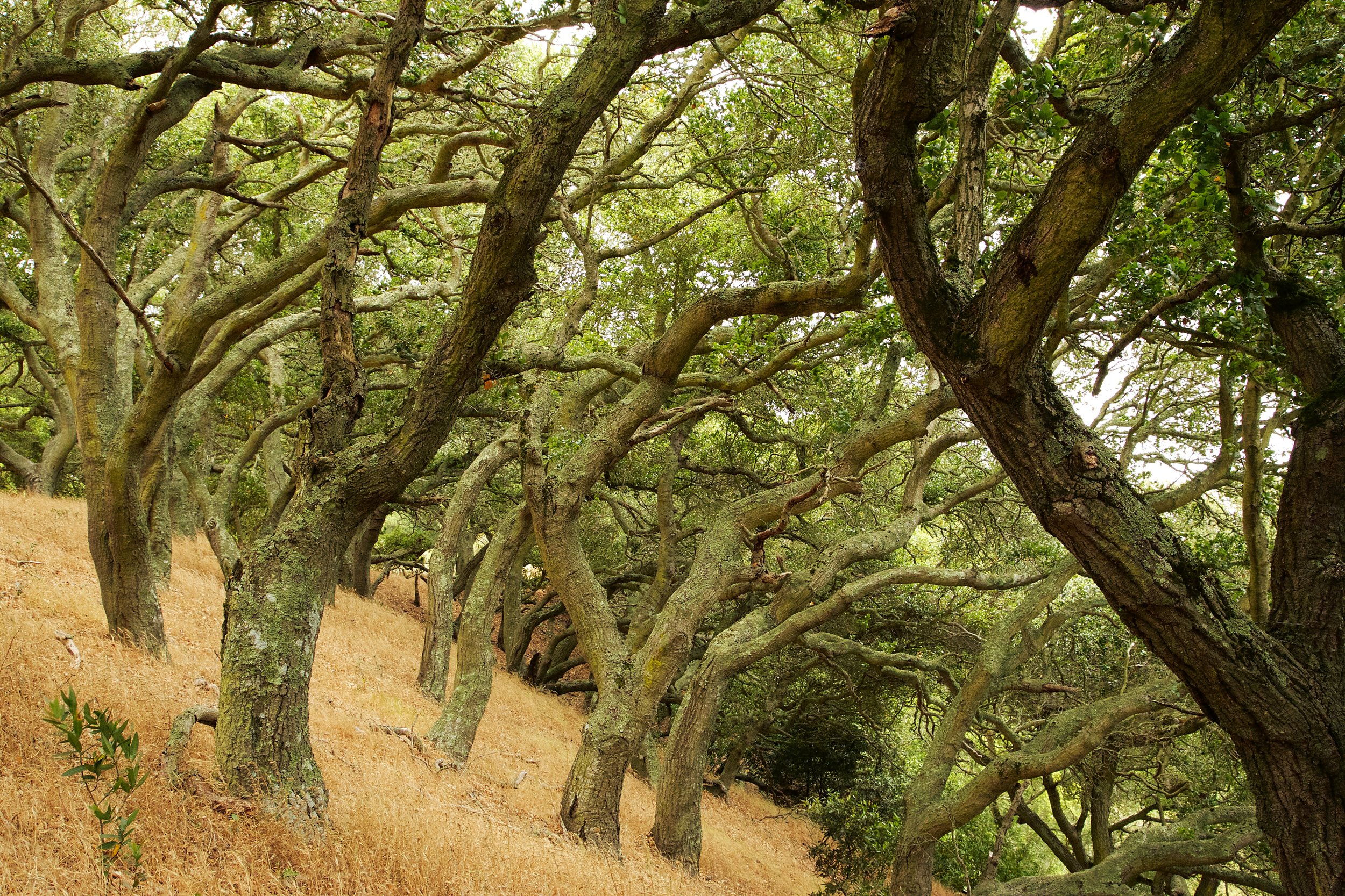
At .78 miles, you'll be getting in to a beautiful section with lots of old, twisted Oaks, and great views of the reservoir.

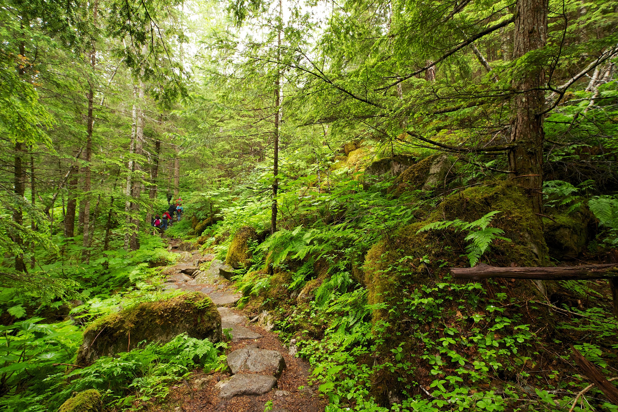
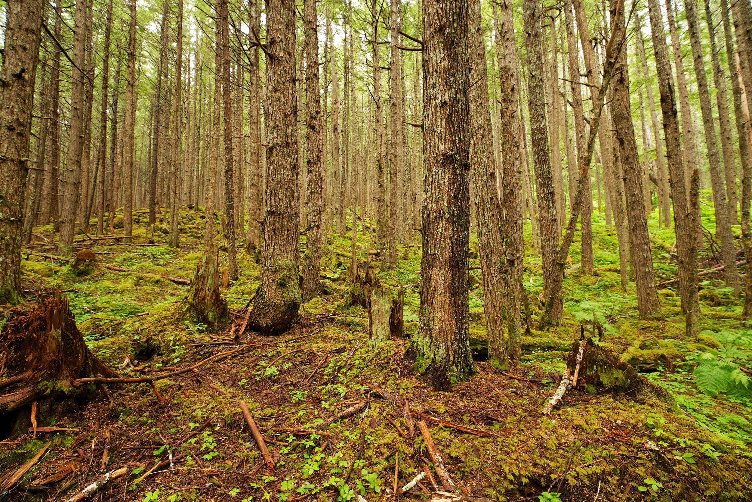
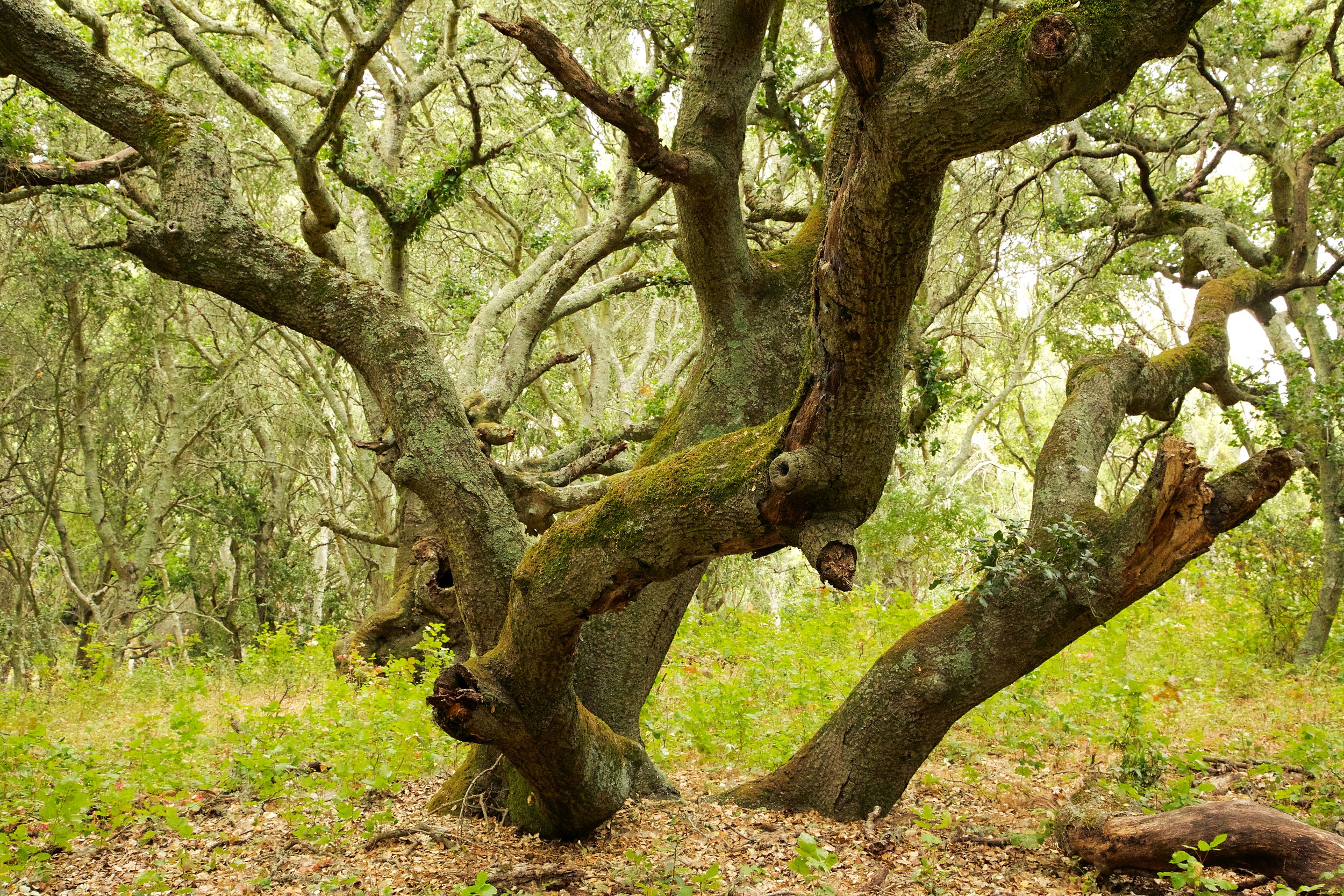
1.07 miles, and you're at the peak of the climb. Here is a beautiful section of larger and older Oaks. Take a right and start your descent. As the trail descends, be very careful with your steps. It can be steep, so make sure your foot is firmly planted before taking another step. It may be helpful to bring a hiking stick. The loose dirt on top of the trail makes the steep descent even more challenging.

1.15 miles, enjoy a rest on the bench and take in the views.

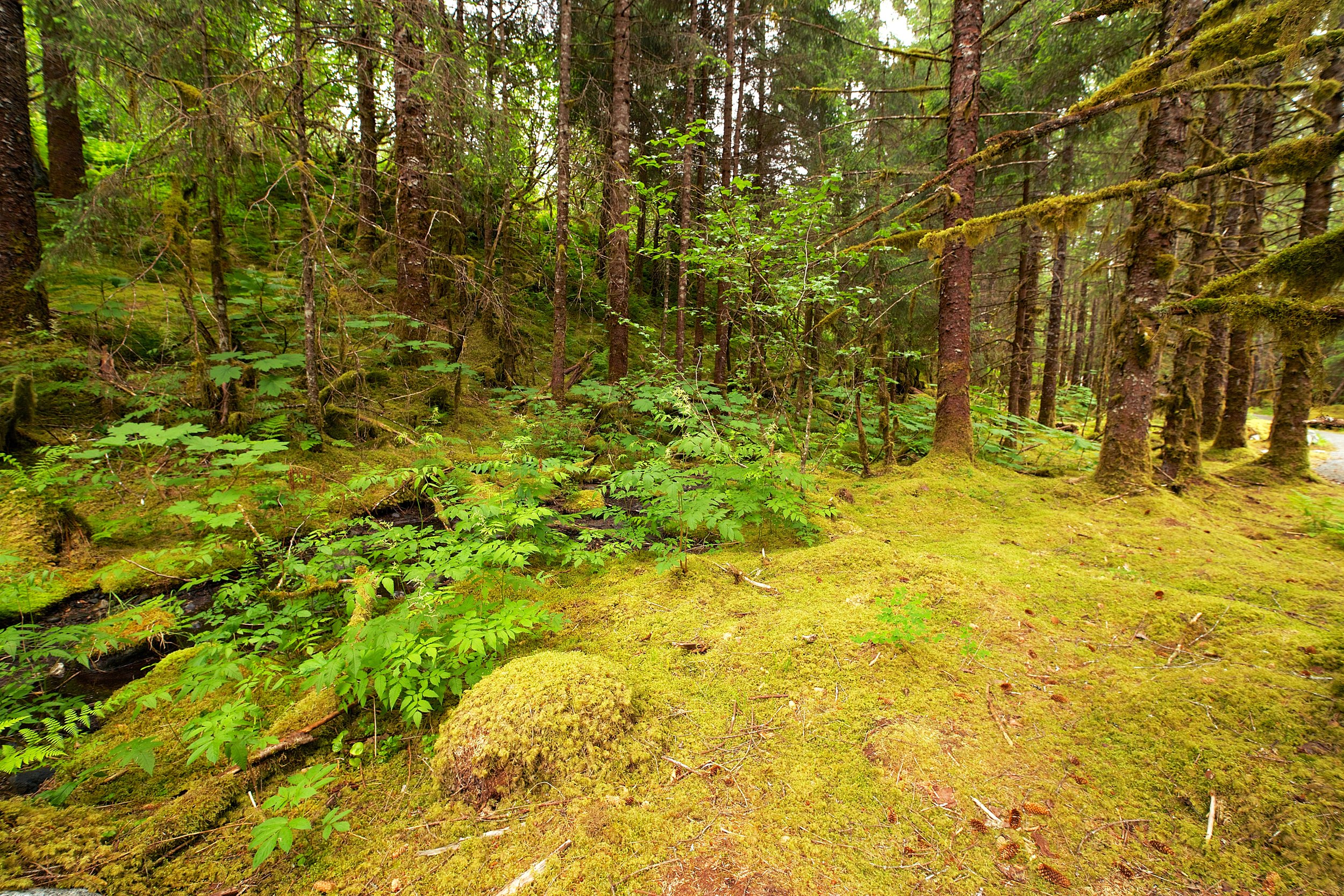
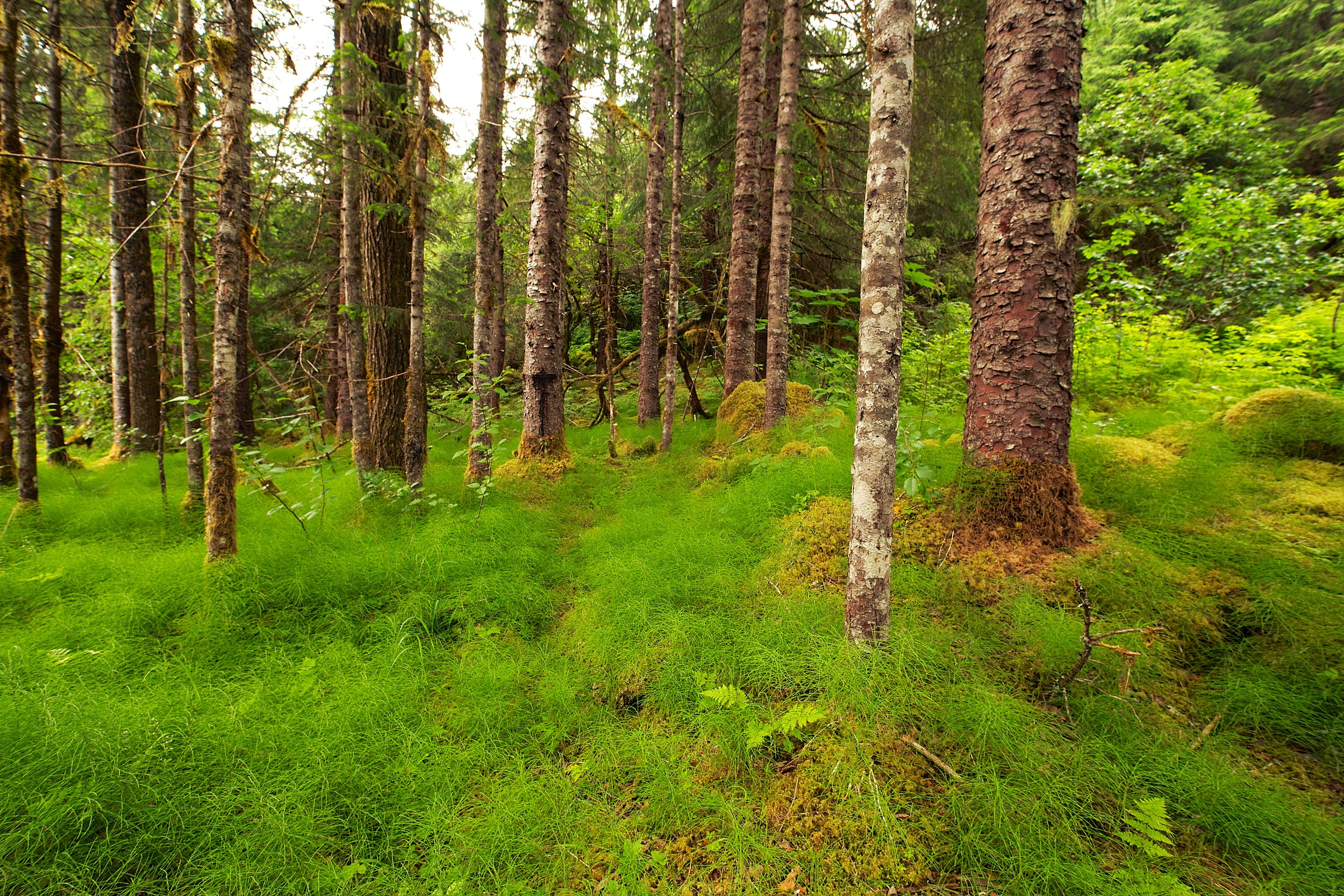
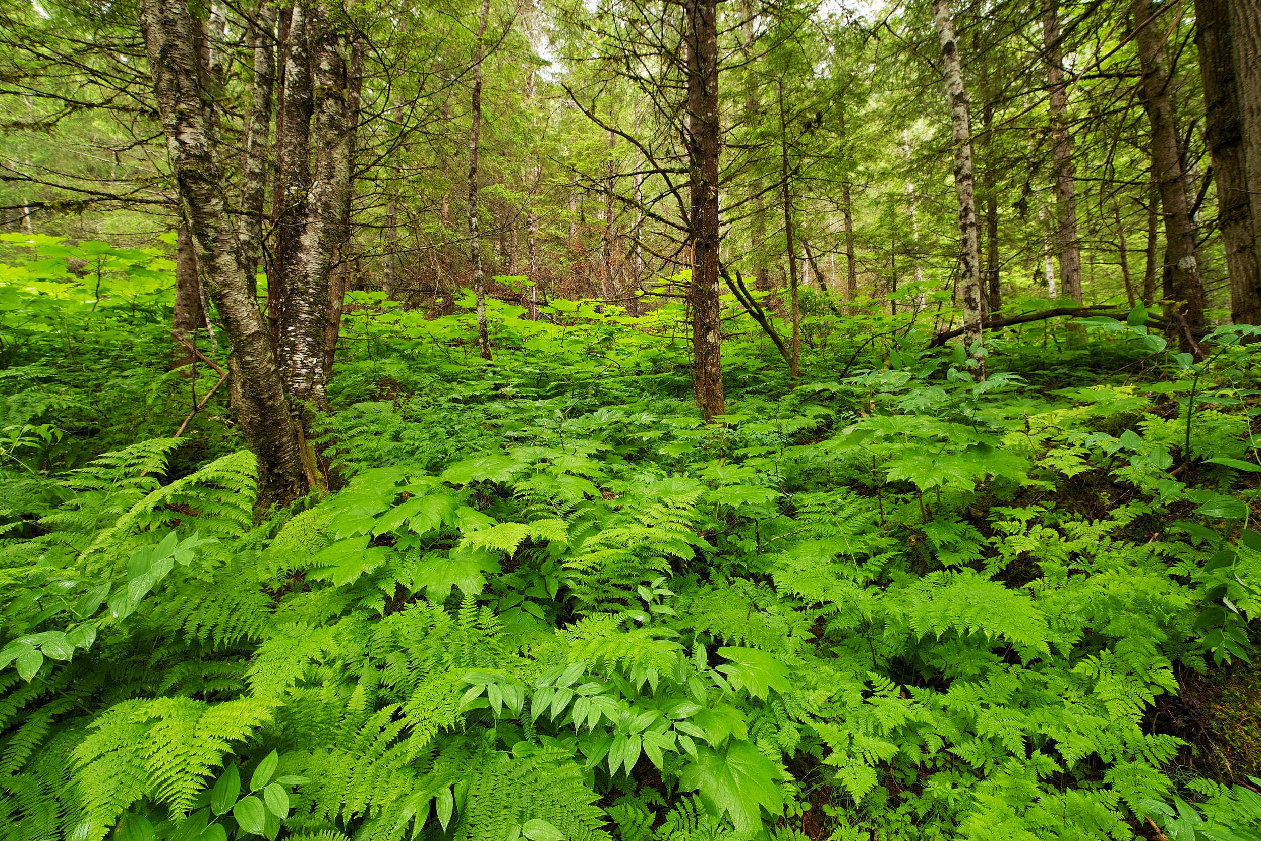
At 1.20 miles, the trail splits again. Keep going straight, on to Lower Sea Foam Trail. The other direction is the Laurel Loop Trail. This section takes you through some old and towering Bay Trees.

At 1.47, you can hang out here, at this secret picnic table. There isn't a barbecue here, but it might be a nice place to rest and enjoy the forest.

At the end of the trail, keep left and head back to the park.
Total mileage, 1.81 miles. This is a short hike with some nice elevation change. If you have more time, look at the map and hike other trails in this park. This particular hike should take less than an hour to hike, and leave you some time for a nice dinner.
Mileage: 1.81 Miles
Climb: 469 Feet
Average Grade: 8.9% (Pretty steep)
Park Information
Directions to the Park
Trail Map

Seafoam Trails
Kennedy Grove Regional Park