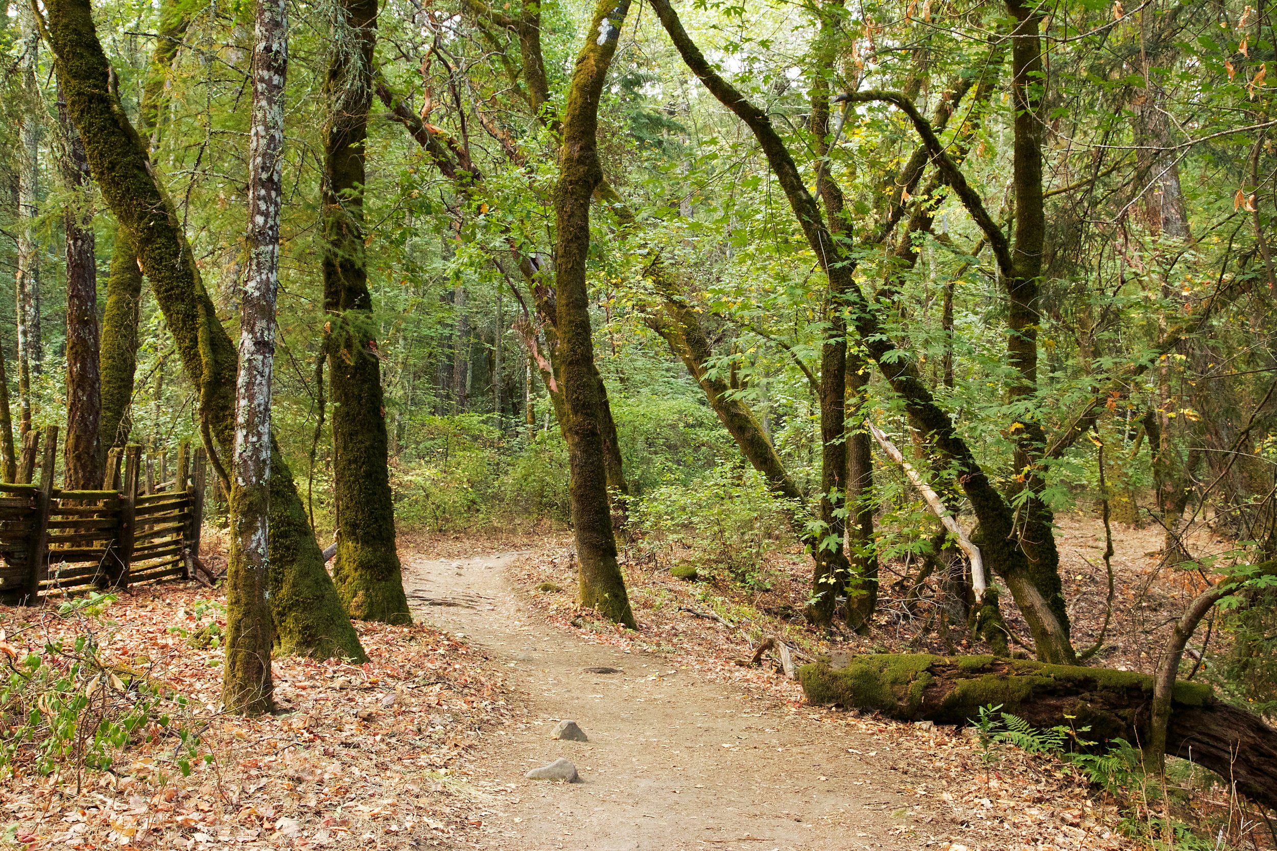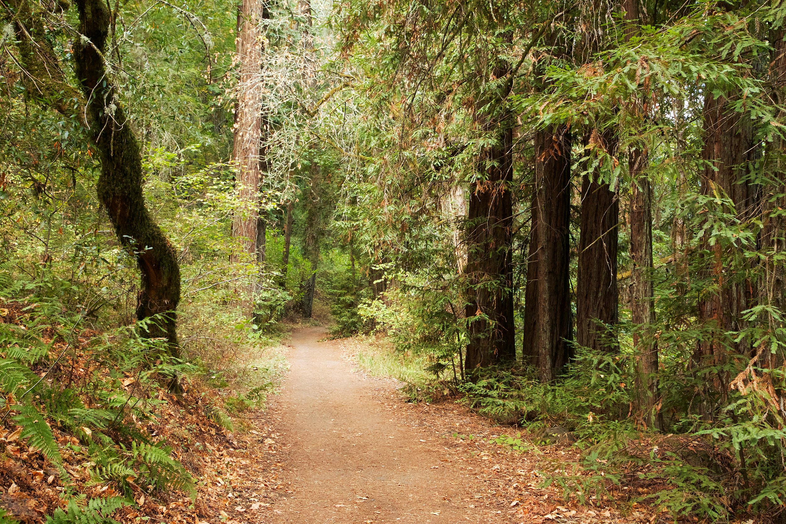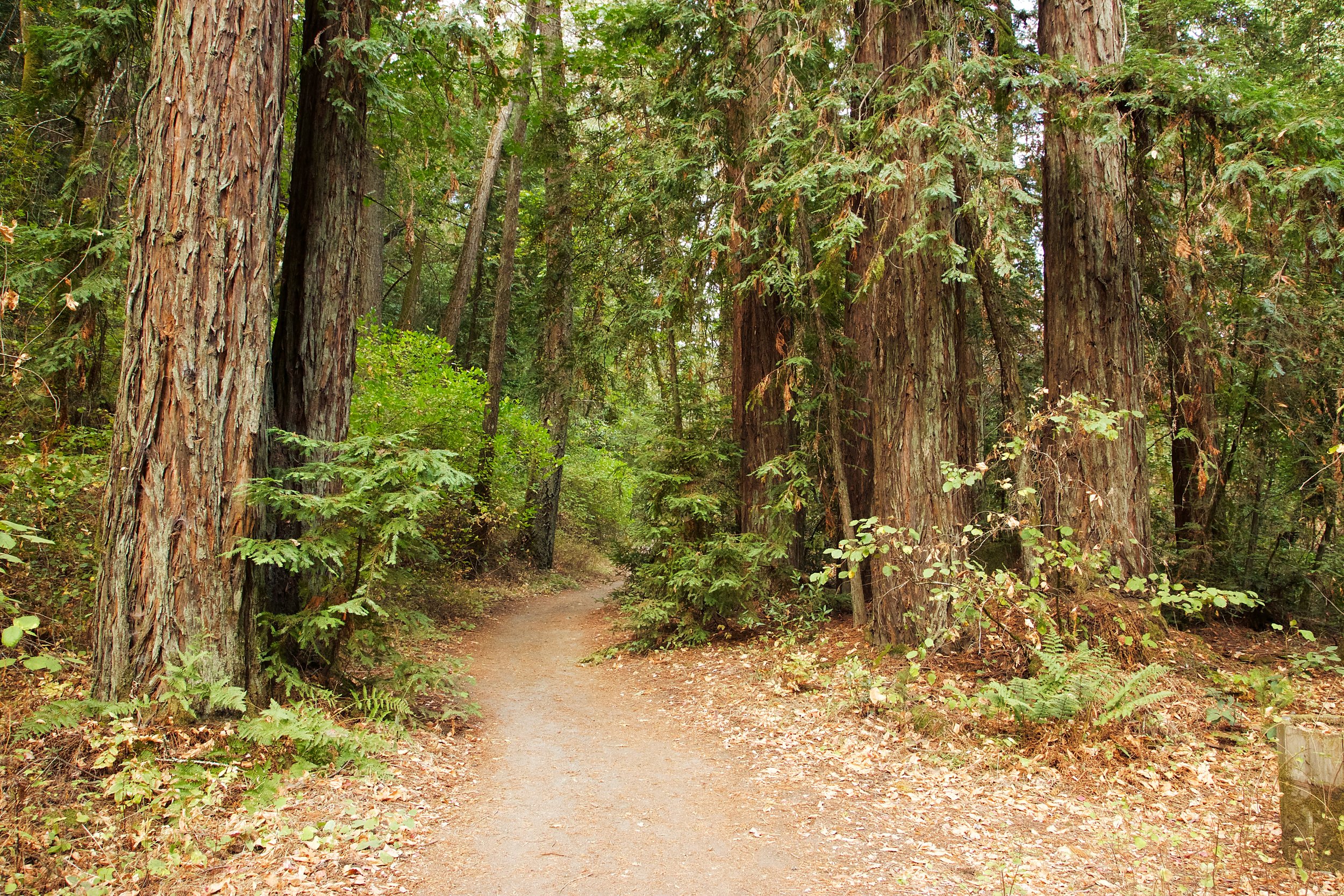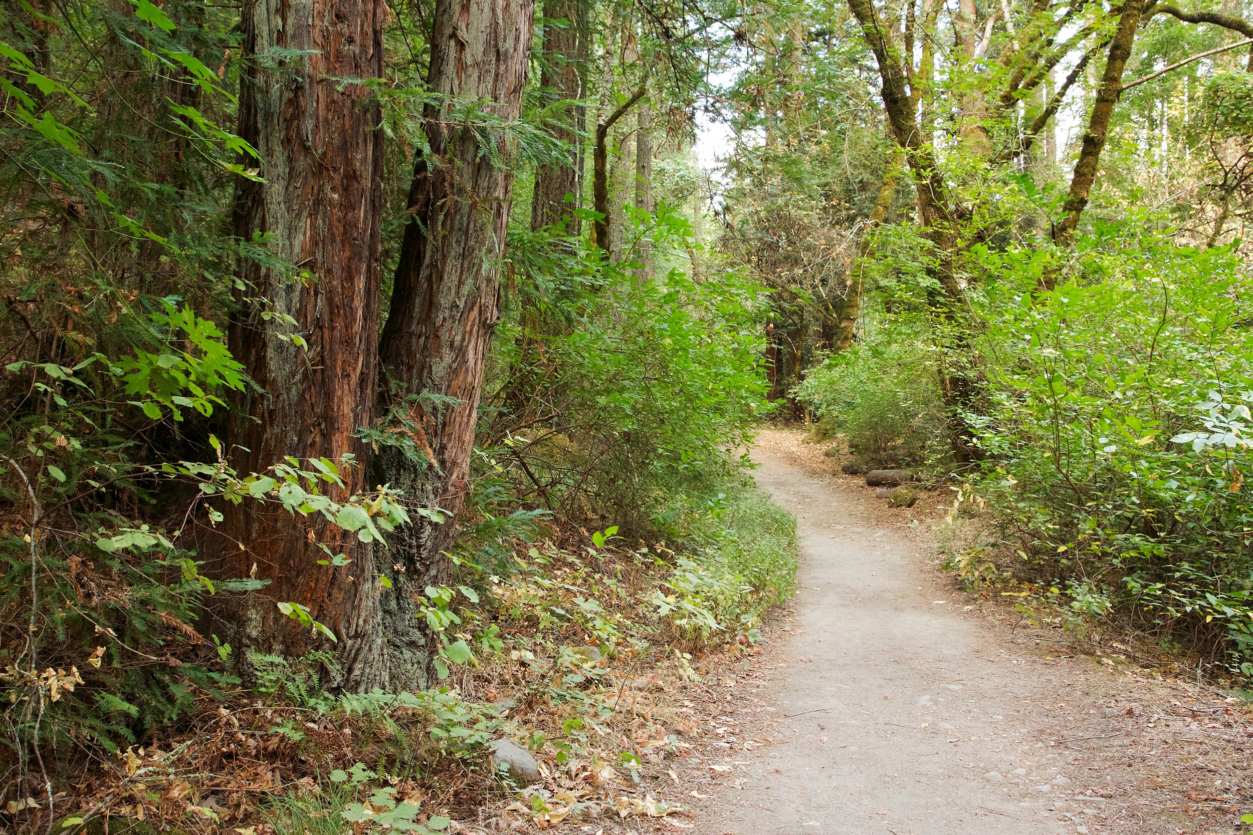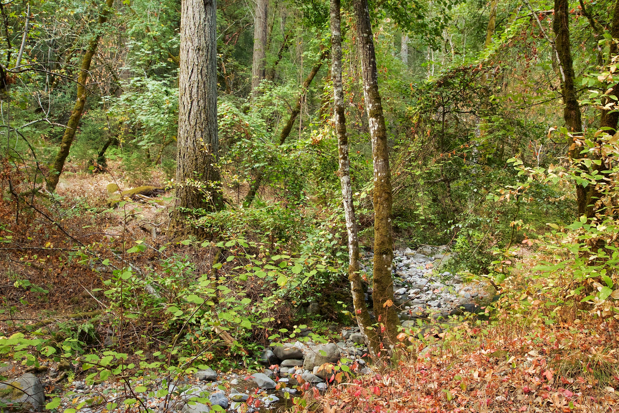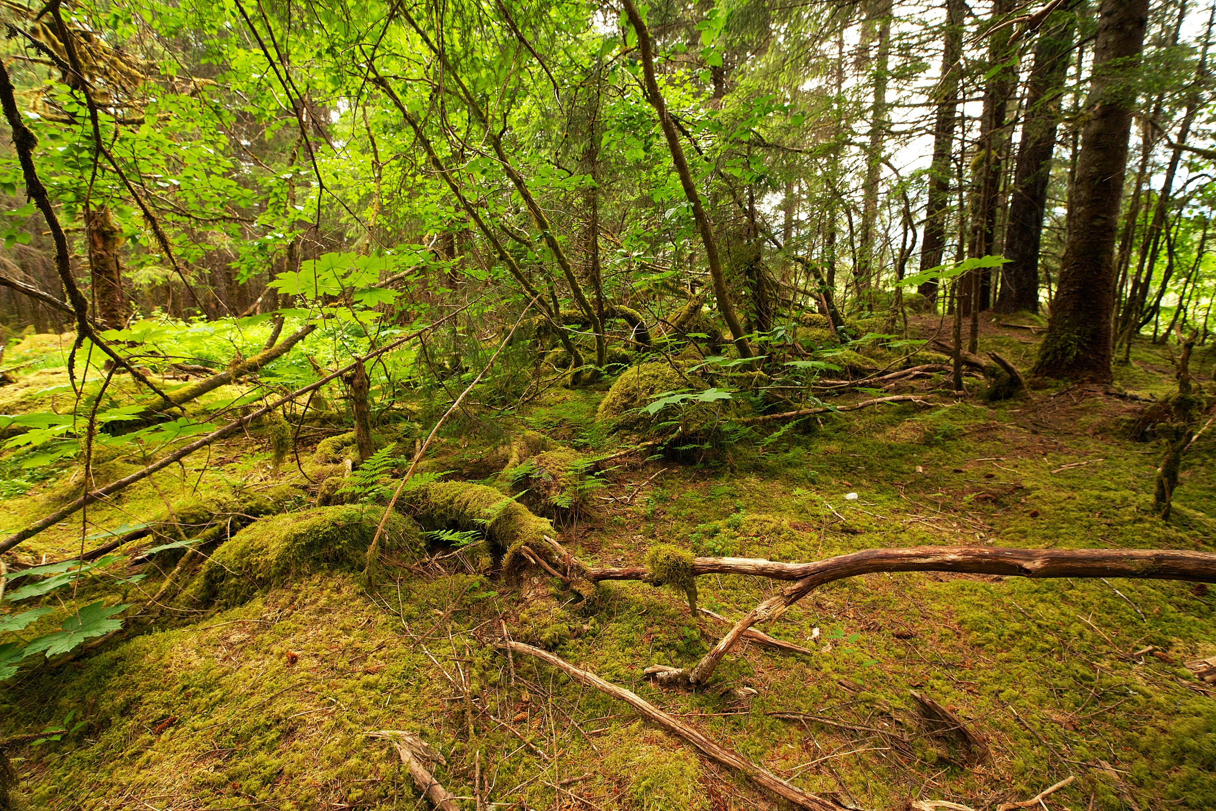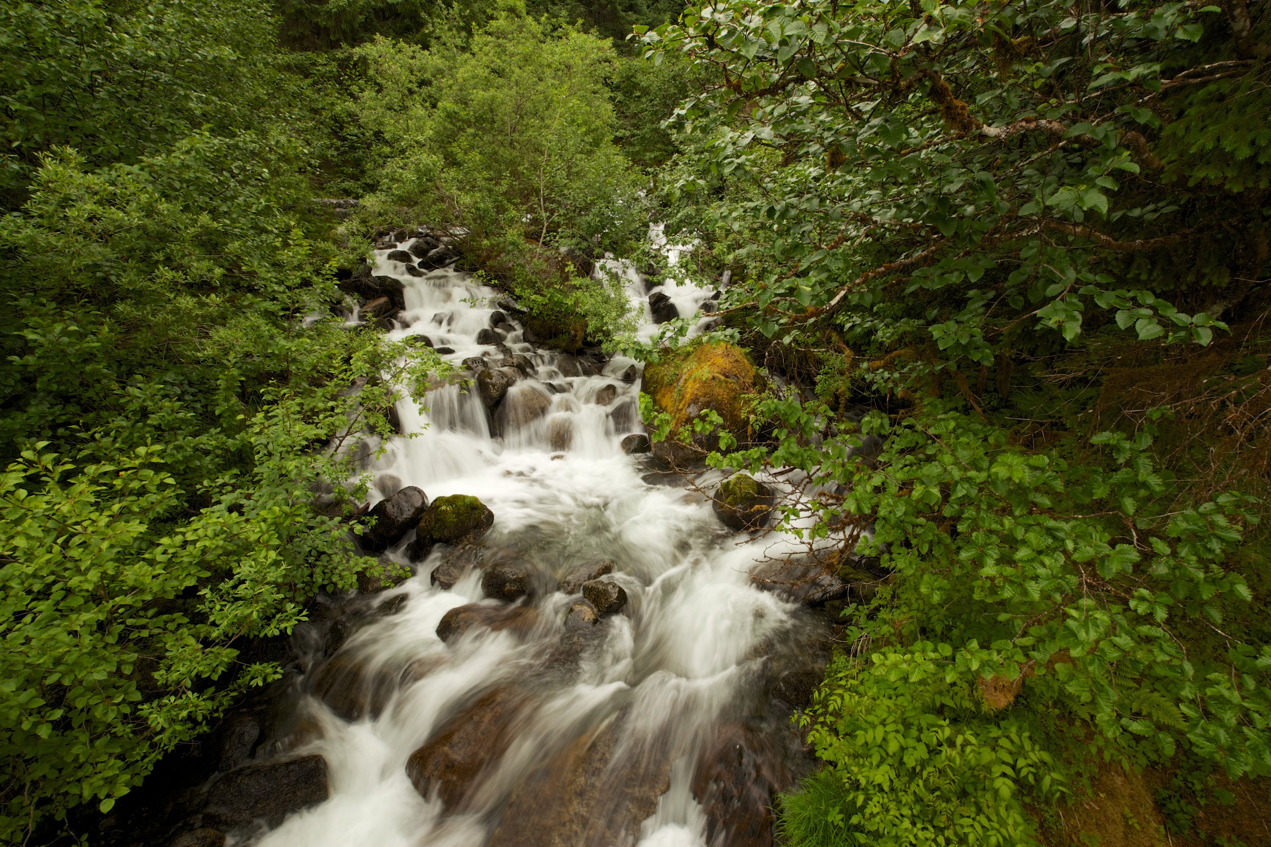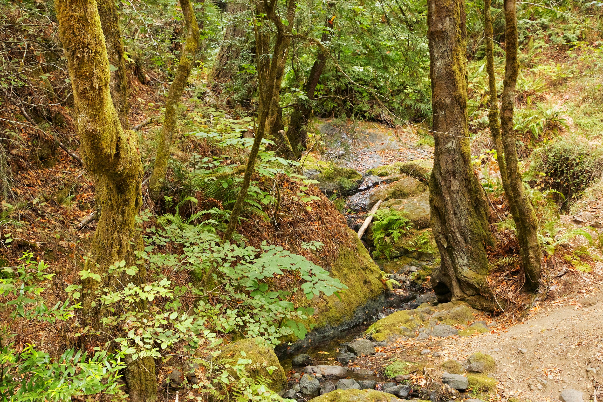
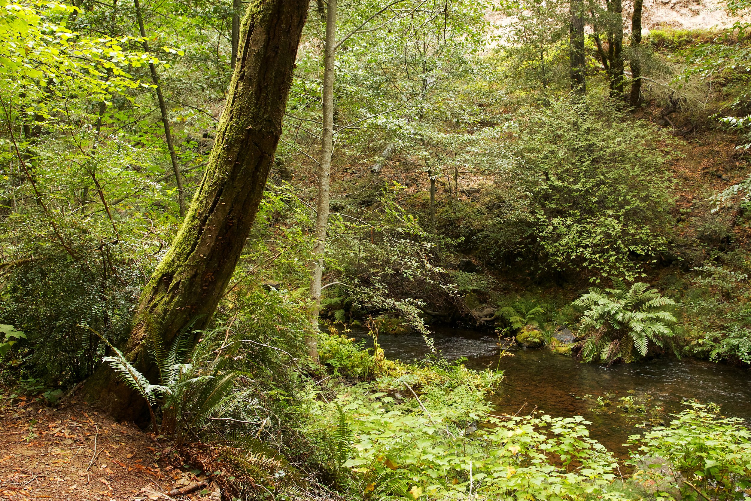
Lagunitas Creek is one of the last strongholds for central California coast Coho salmon. As part of their spawning process, they enter the creek from the ocean. Their migration starts in October, and they swim upstream to spawn. Peak spawning is in December, and lingers until February.

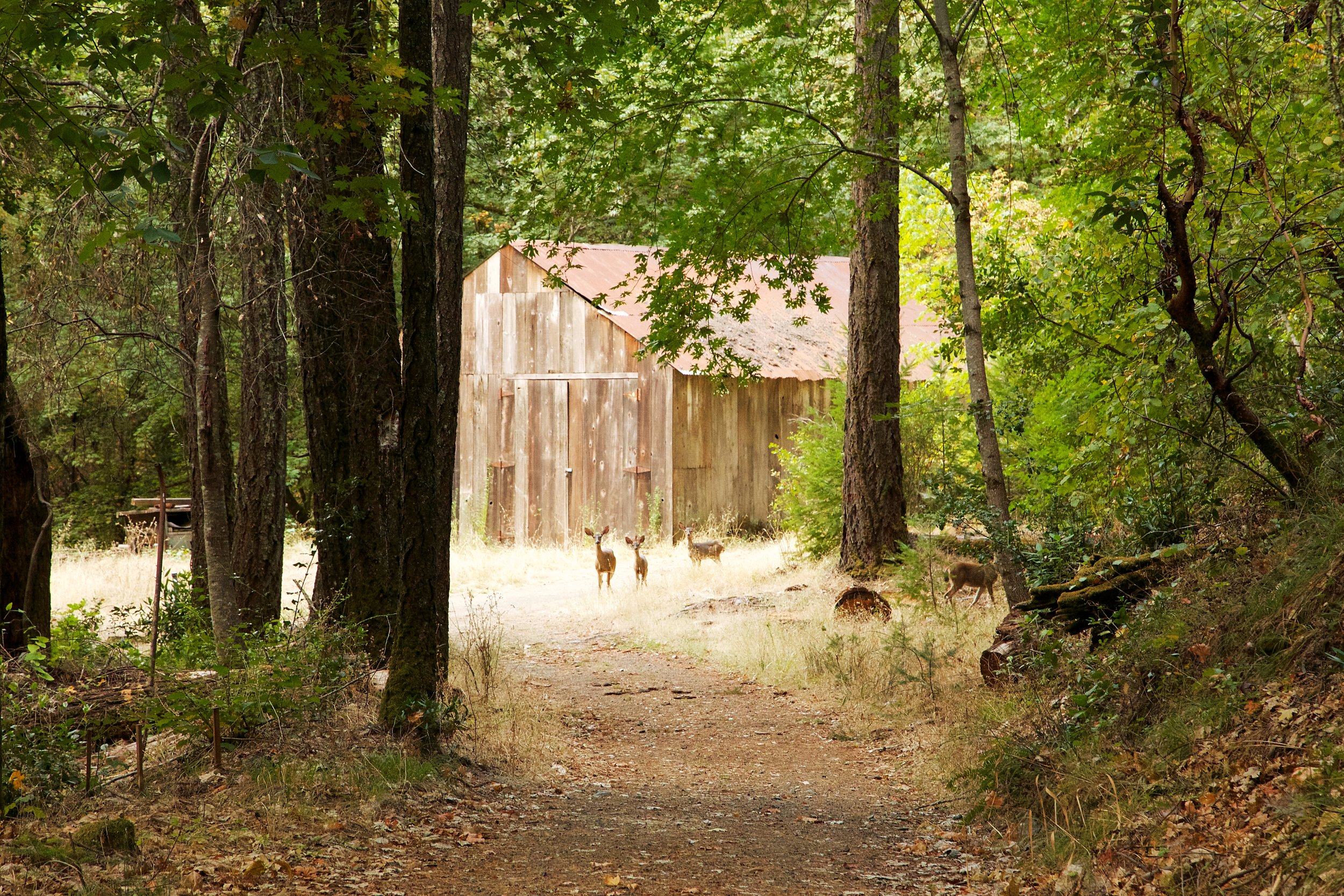
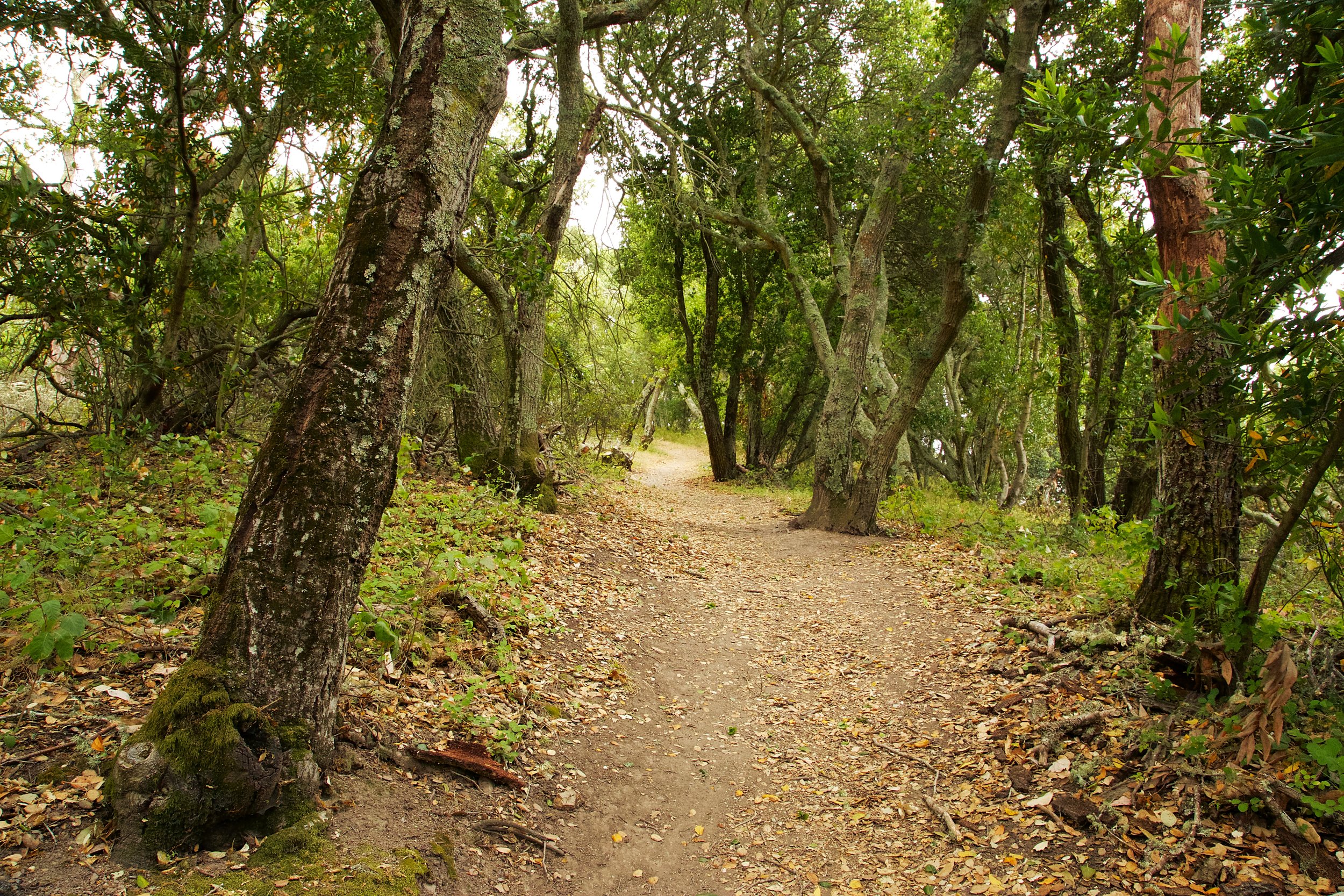
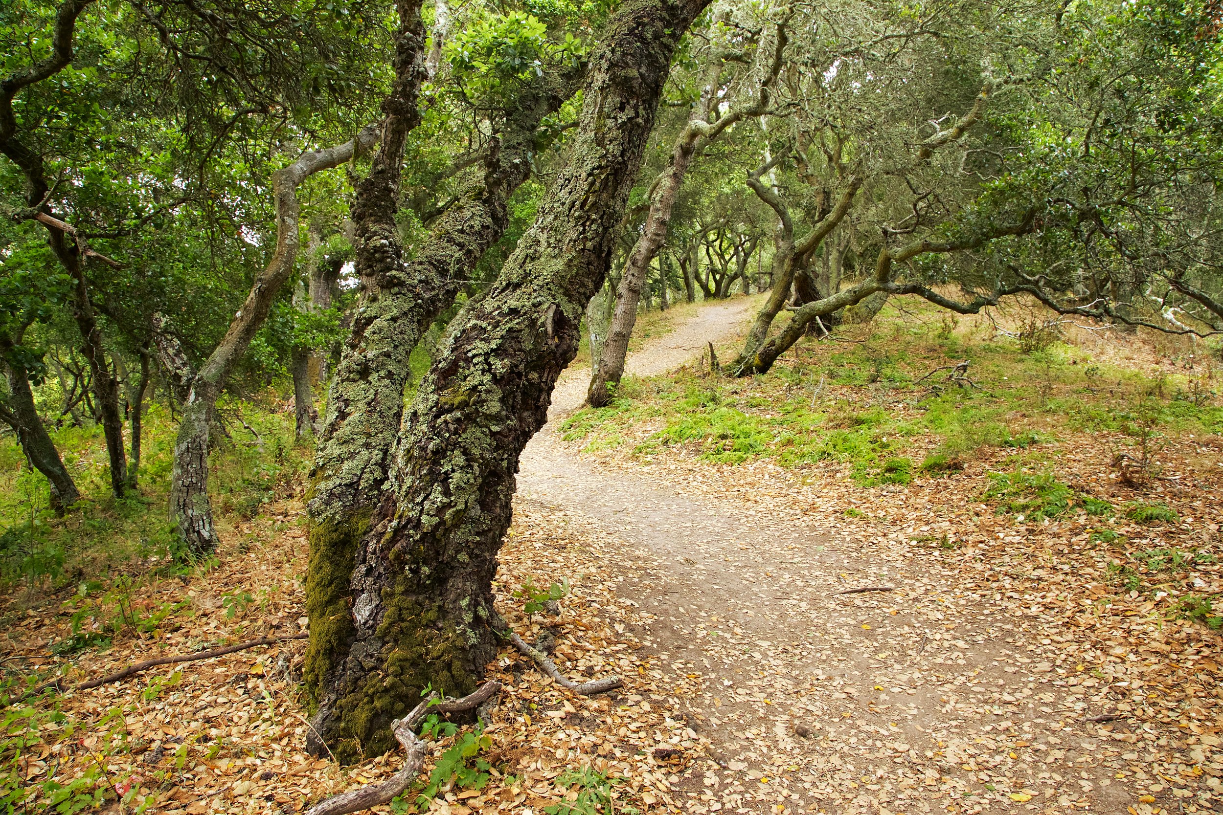
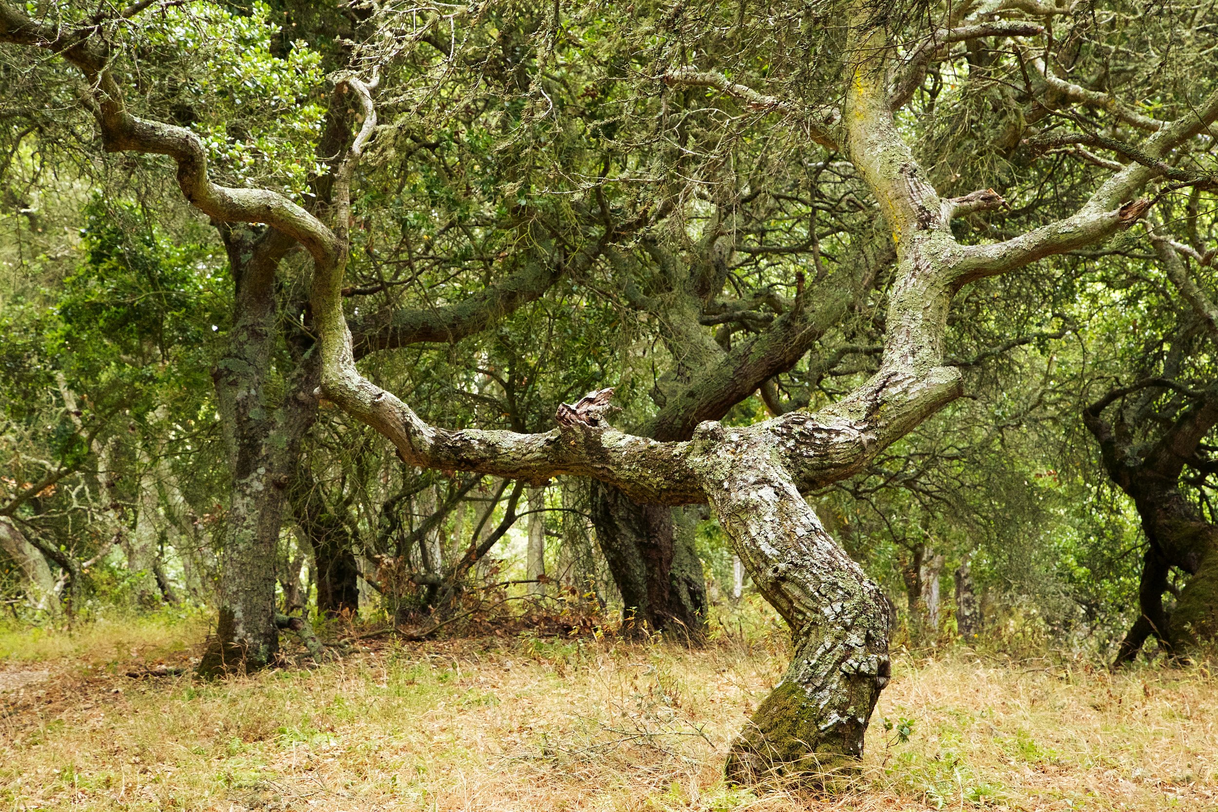
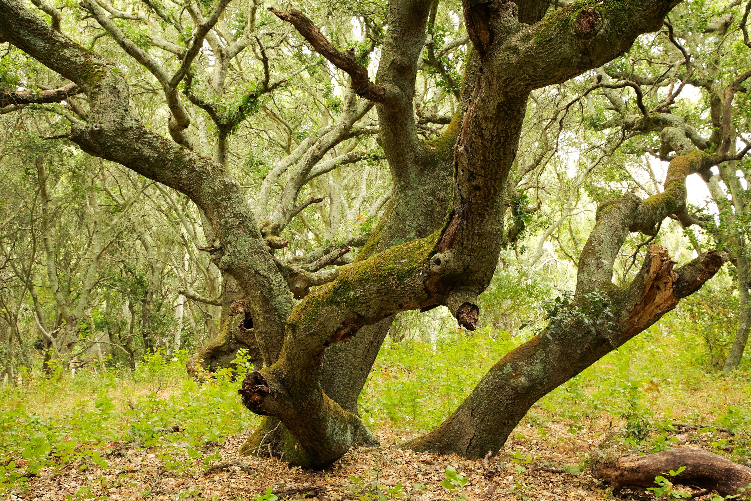
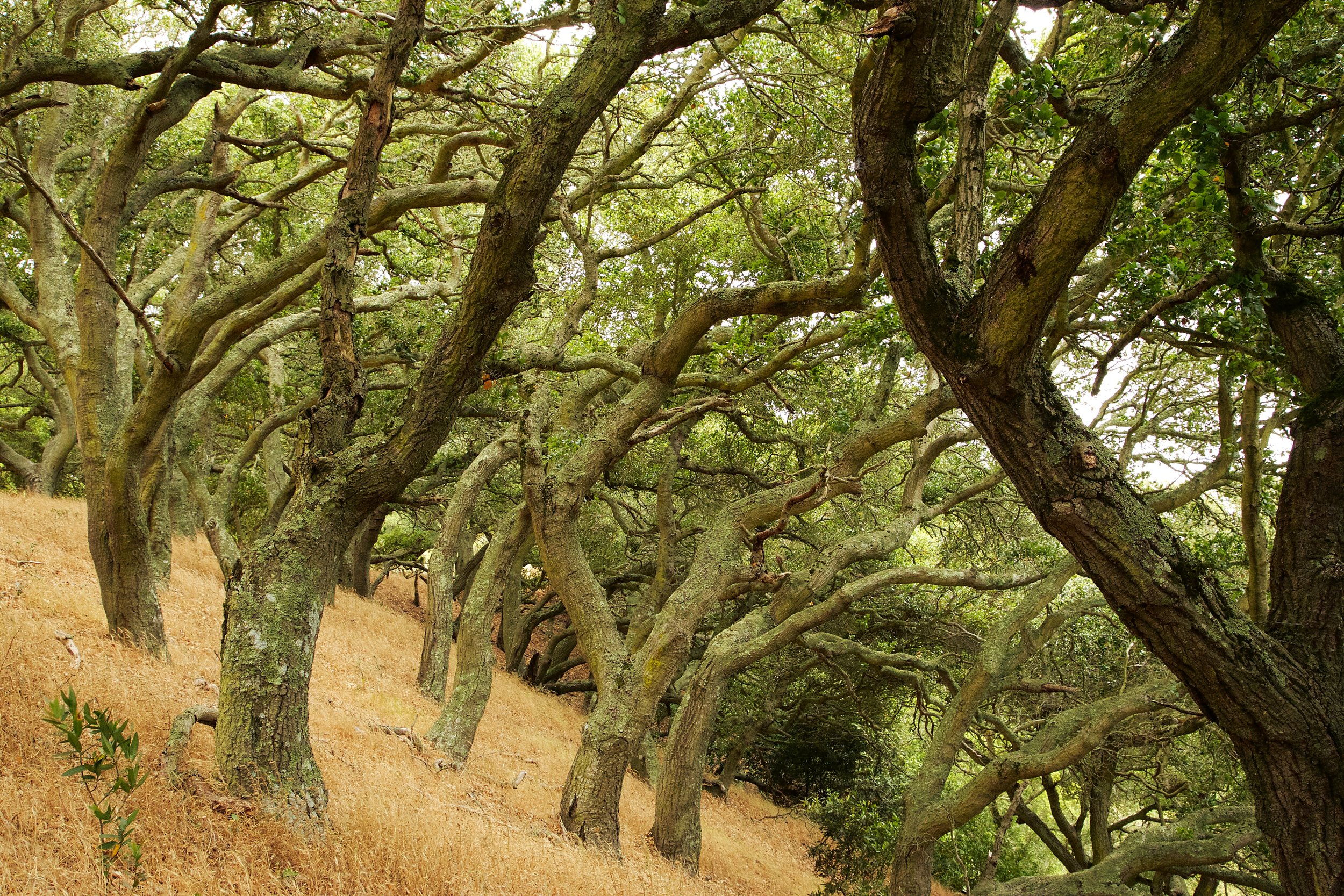
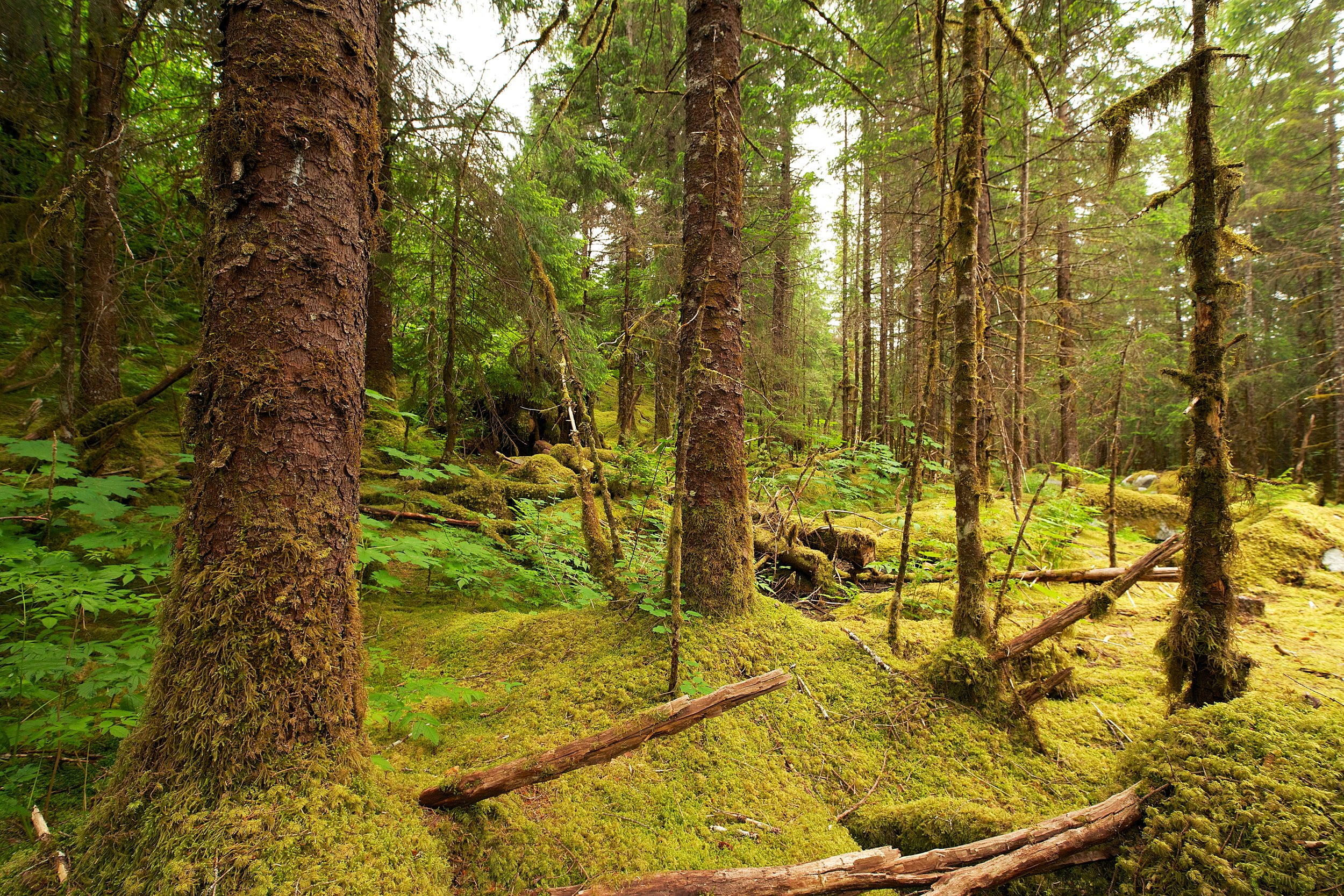
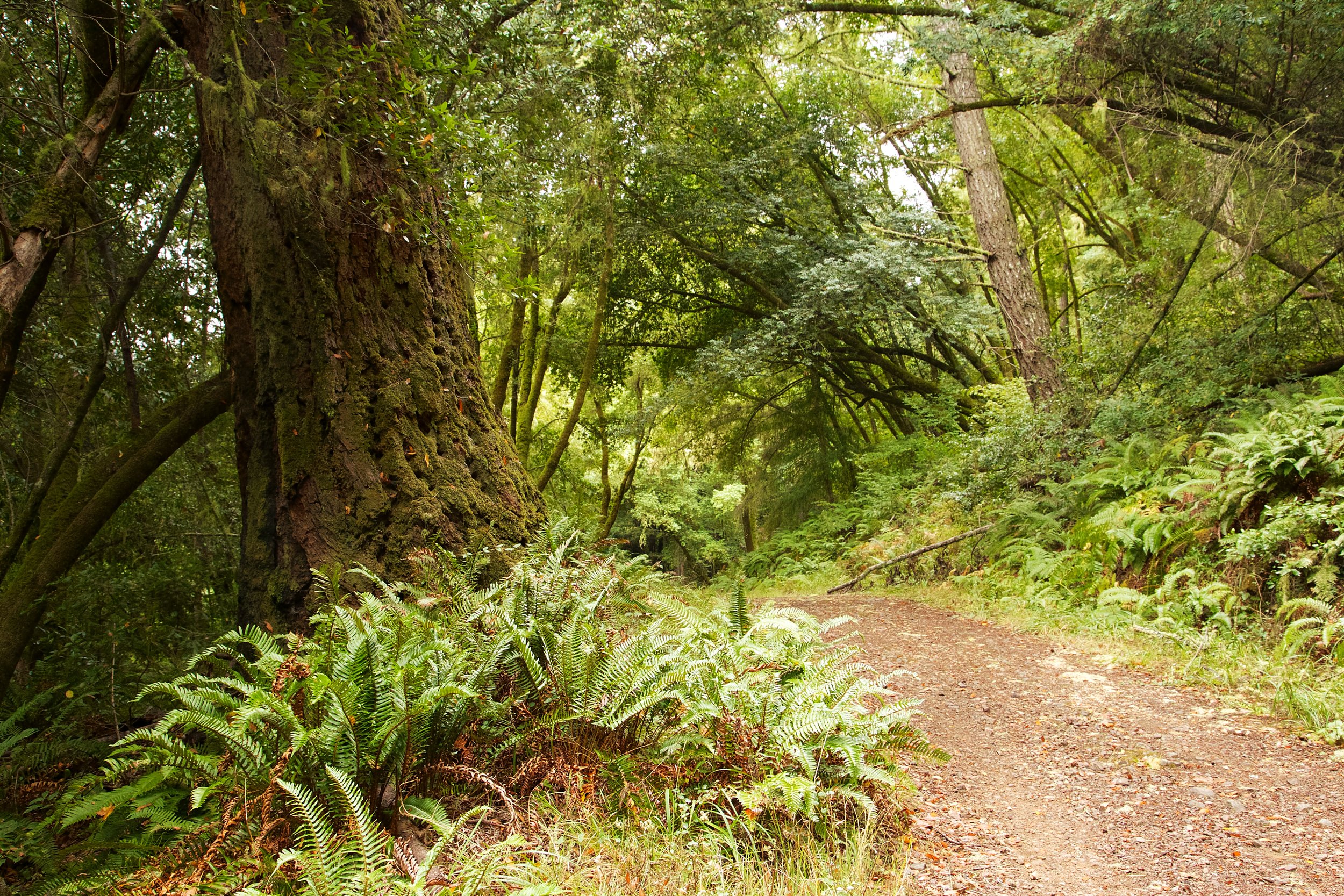
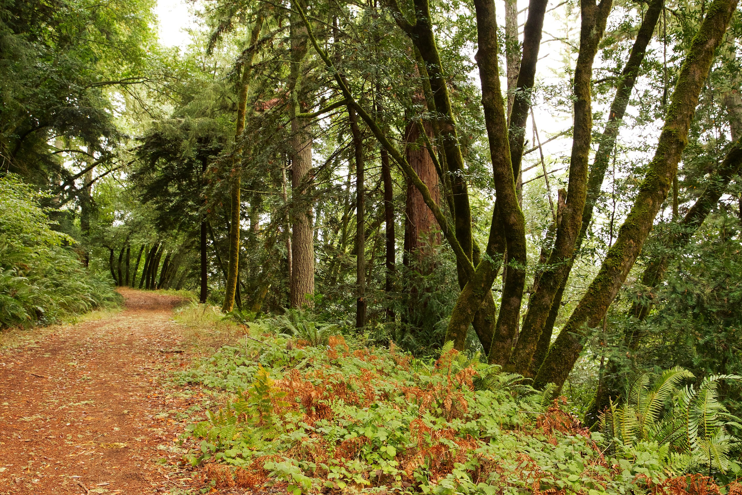
Baby Salmon hide under log jams for protection. The Marin Water District has created these artificial log jams to help protect the salmon.I walked along the creek to the dam, and then turned around and climbed up Shafter Grade. This is a nice hike, with views and the ability to go deep in to Marin Watershed lands, and ultimately to the coast.

Keeping an eye on me.
My trip was quick, I just wanted to scout this location and take some pictures. I will explore this in more detail in the future, but I wanted to share this with you now in case you're interested in watching the salmon spawn.
Enjoy your hike, and be safe.

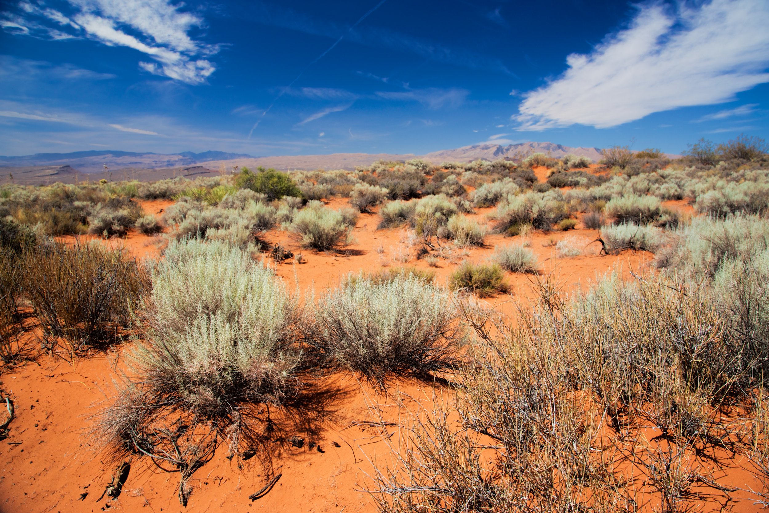
- Location: Lagunitas Creek, Mount Tamalpais Watershed
- Route: Shafer Grade Trail and Lagunitas Creek Trail
- Mileage: 3.06 miles
- Difficulty Level: Moderate
- Description: Lagunitas Creek is one of the last strongholds for central California coast Coho salmon. As part of their spawning process, they enter the creek from the ocean. Their migration starts in October, and they swim upstream to spawn. Peak spawning is in December, and lingers until February. I walked along the creek to the dam, and then turned around and climbed up Shafter Grade. This is a nice hike, with views and the ability to go deep in to Marin Watershed lands, and ultimately to the coast.
- Trail Map
- Trailhead and Parking

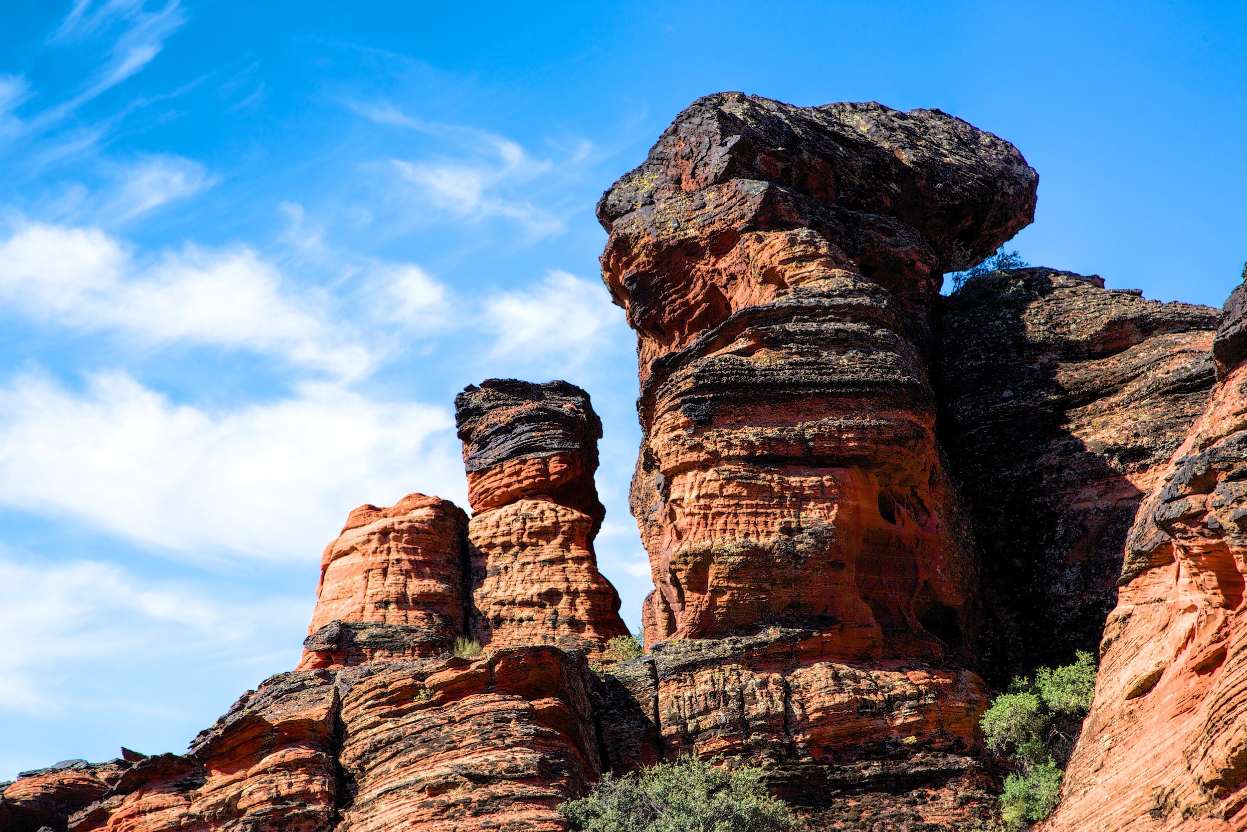
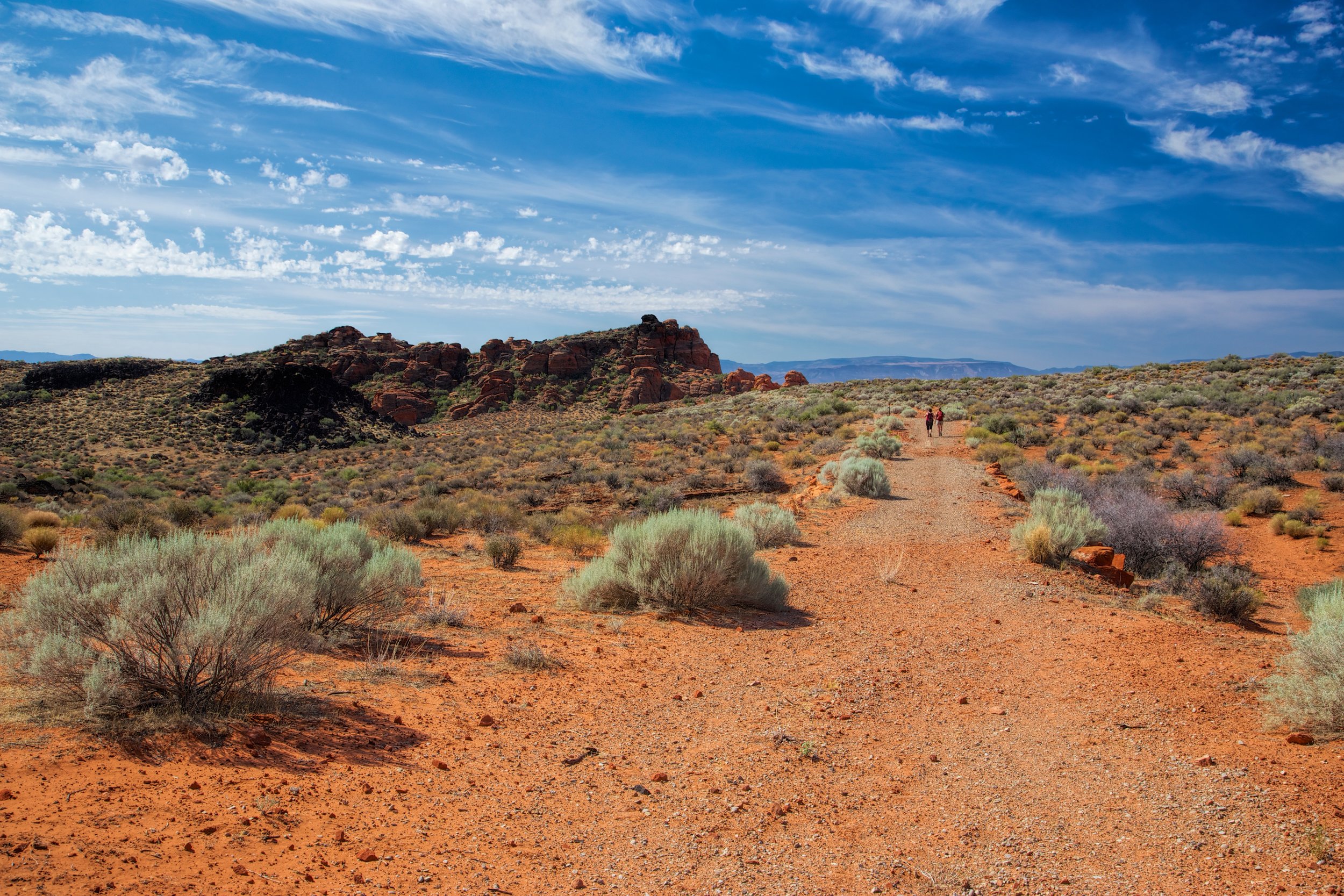
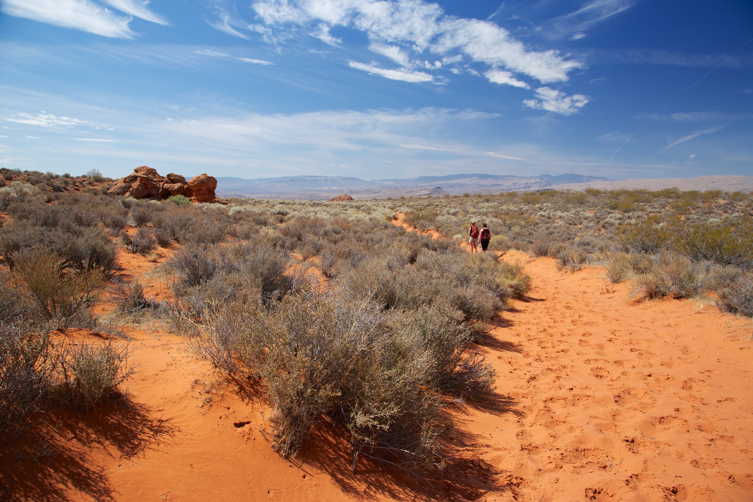
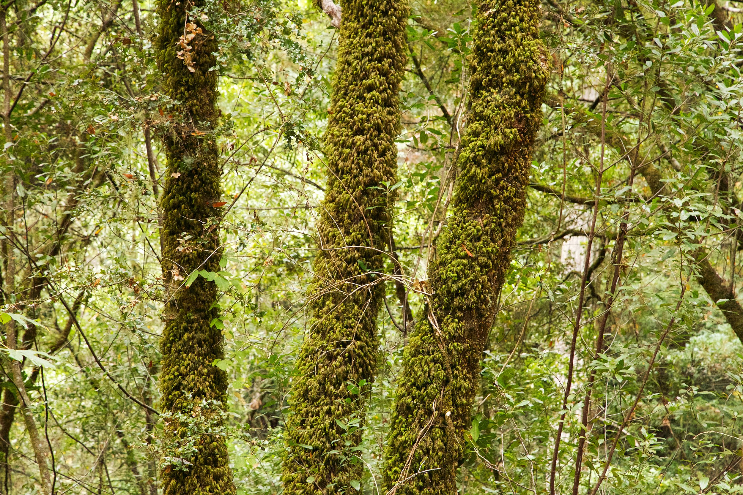
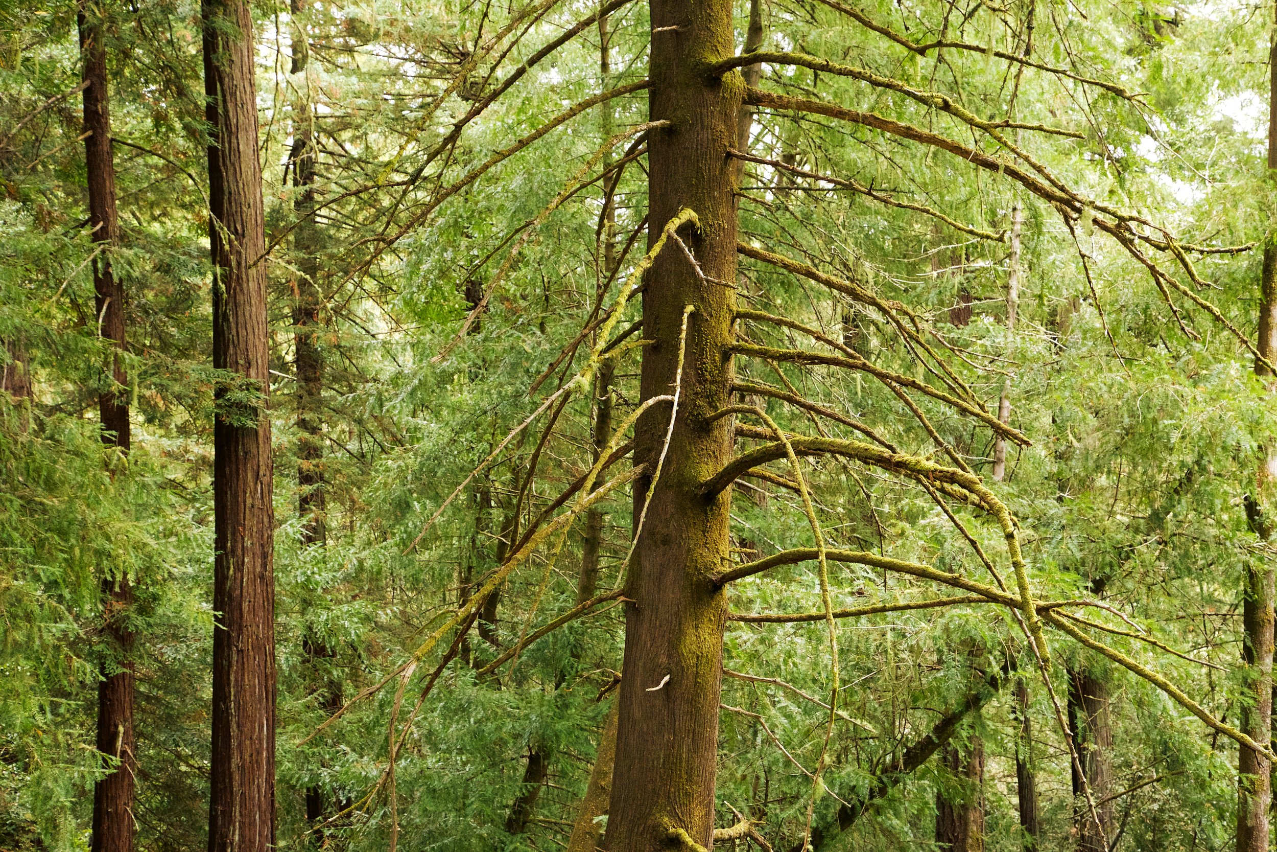
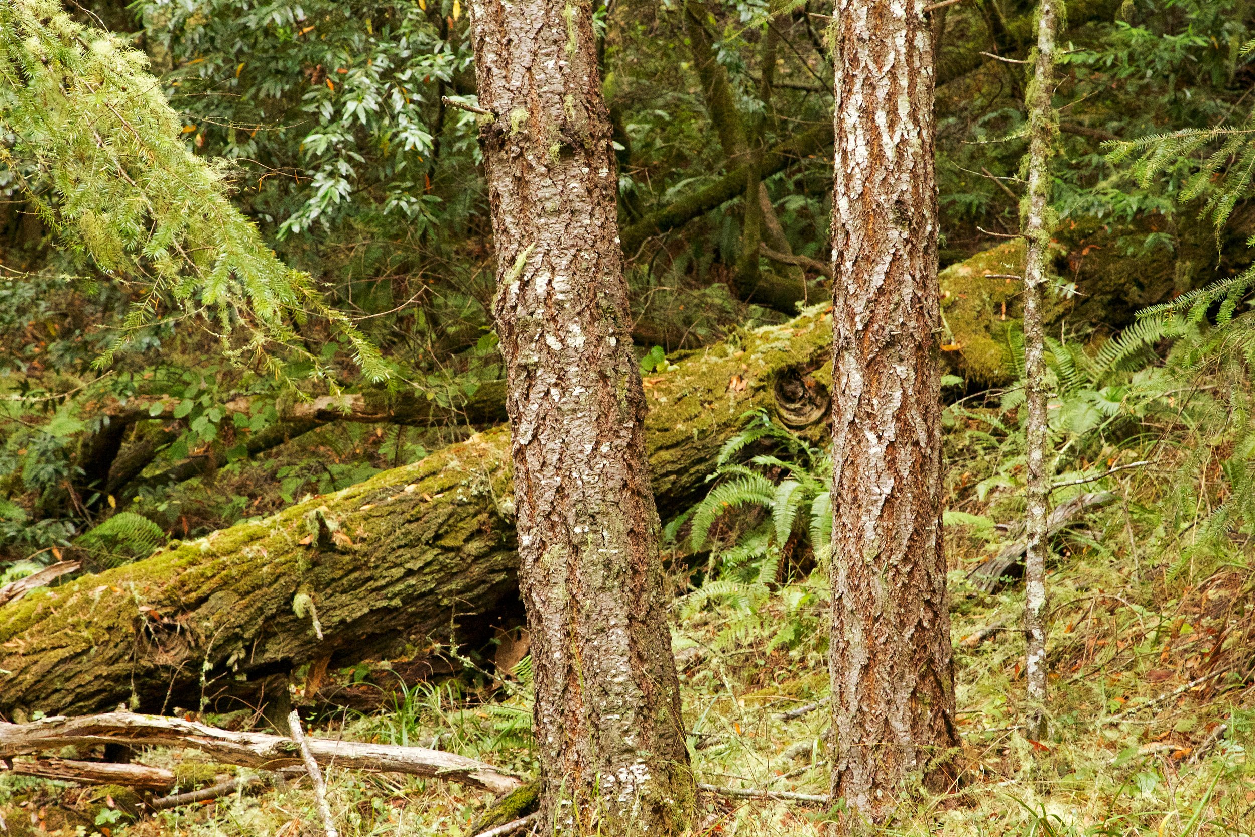
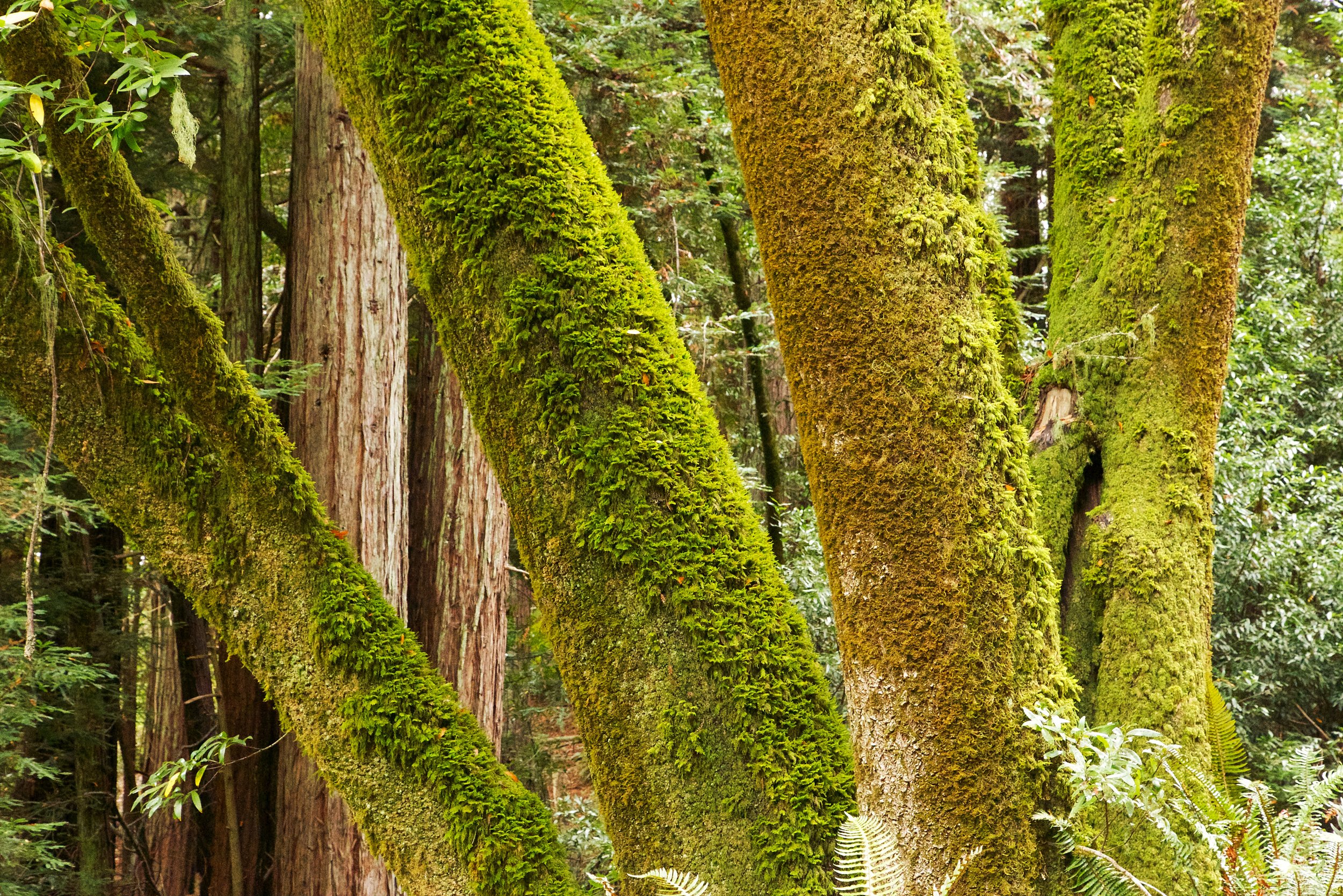
Lagunitas Creek
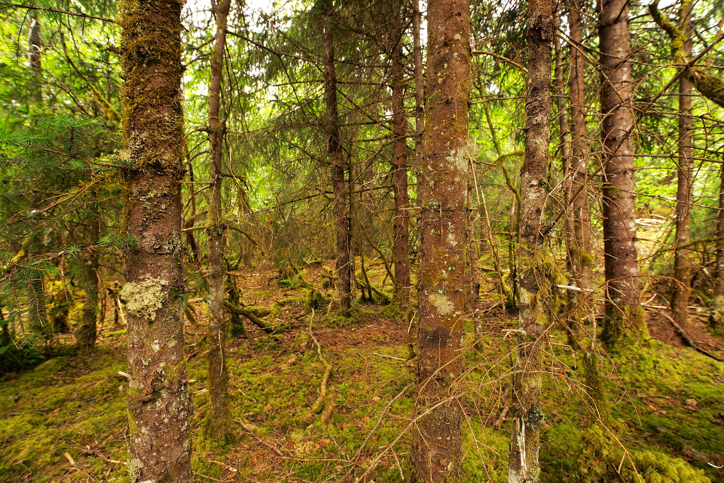
Mount Tamalpais Watershed