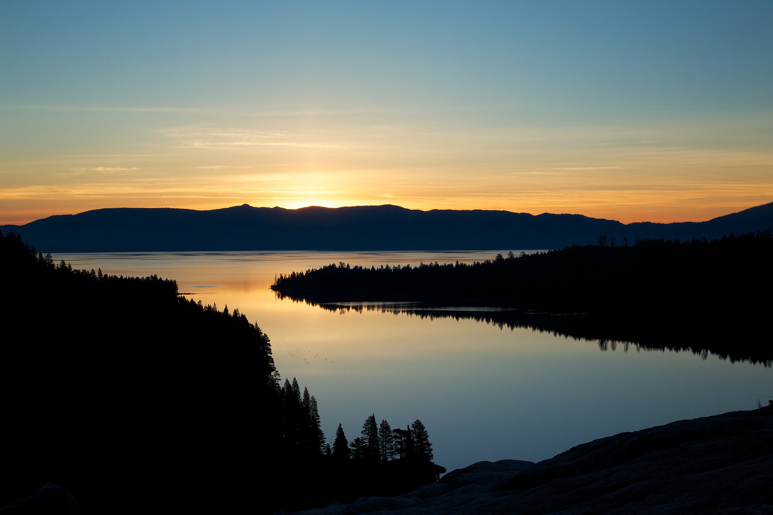
Since I've been doing some traveling, I haven't had much time to post. I'll write more about these places later, but I wanted to share some scenes of Alaskan Trails.
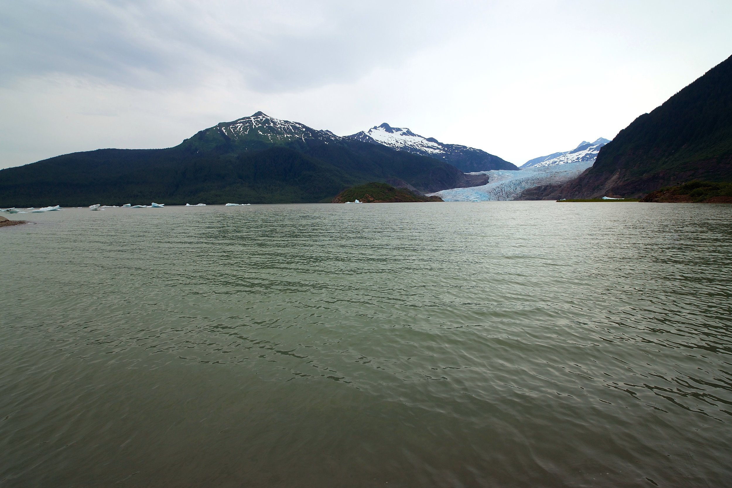
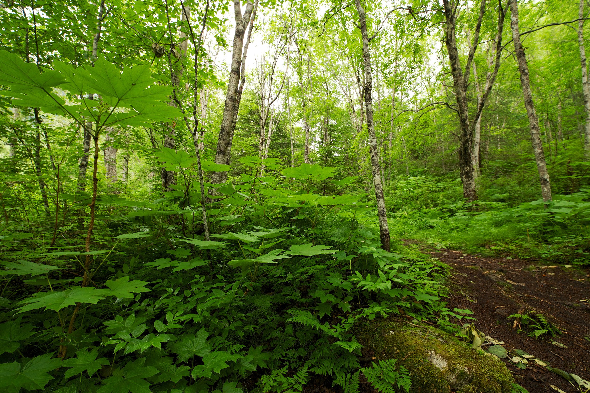
First, I went on a short, guided hike to Mendenhall Glacier. What you'll see in these images is the growth that comes after a glacier recedes. Here are a few scenes:
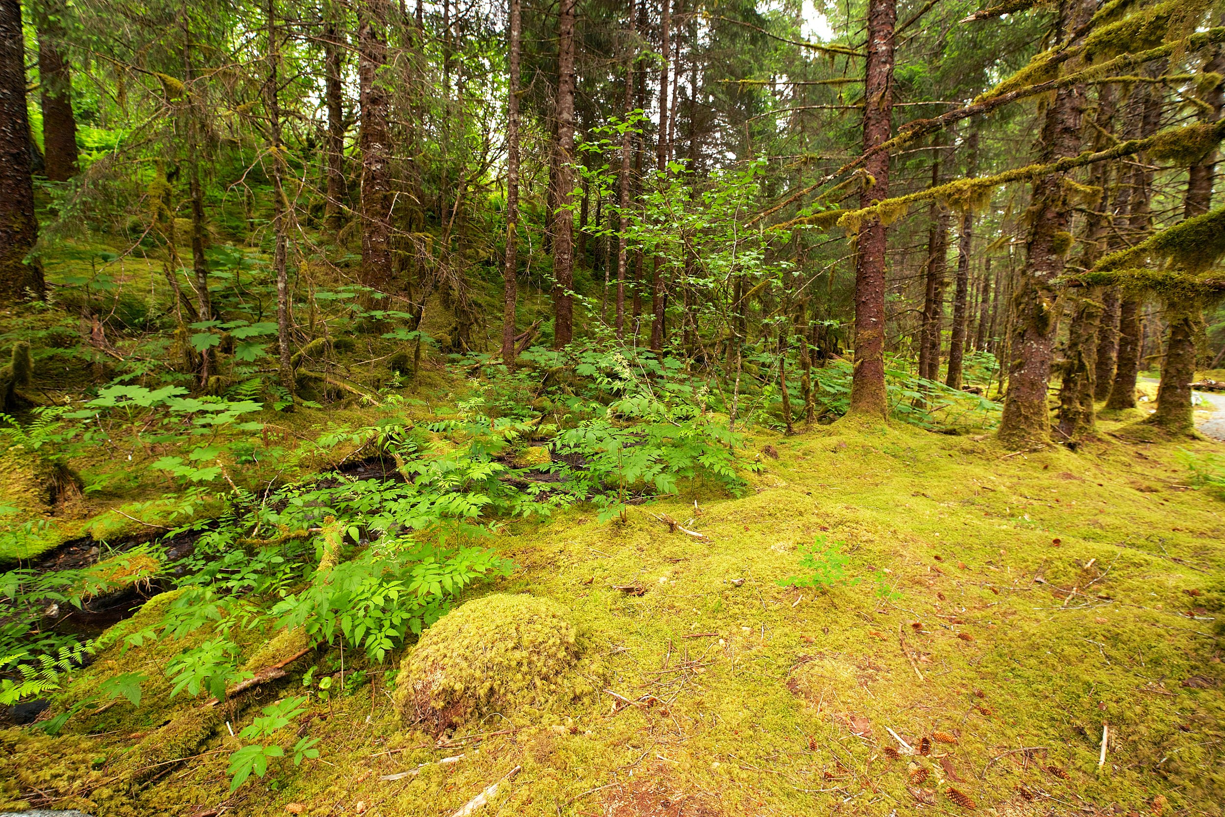
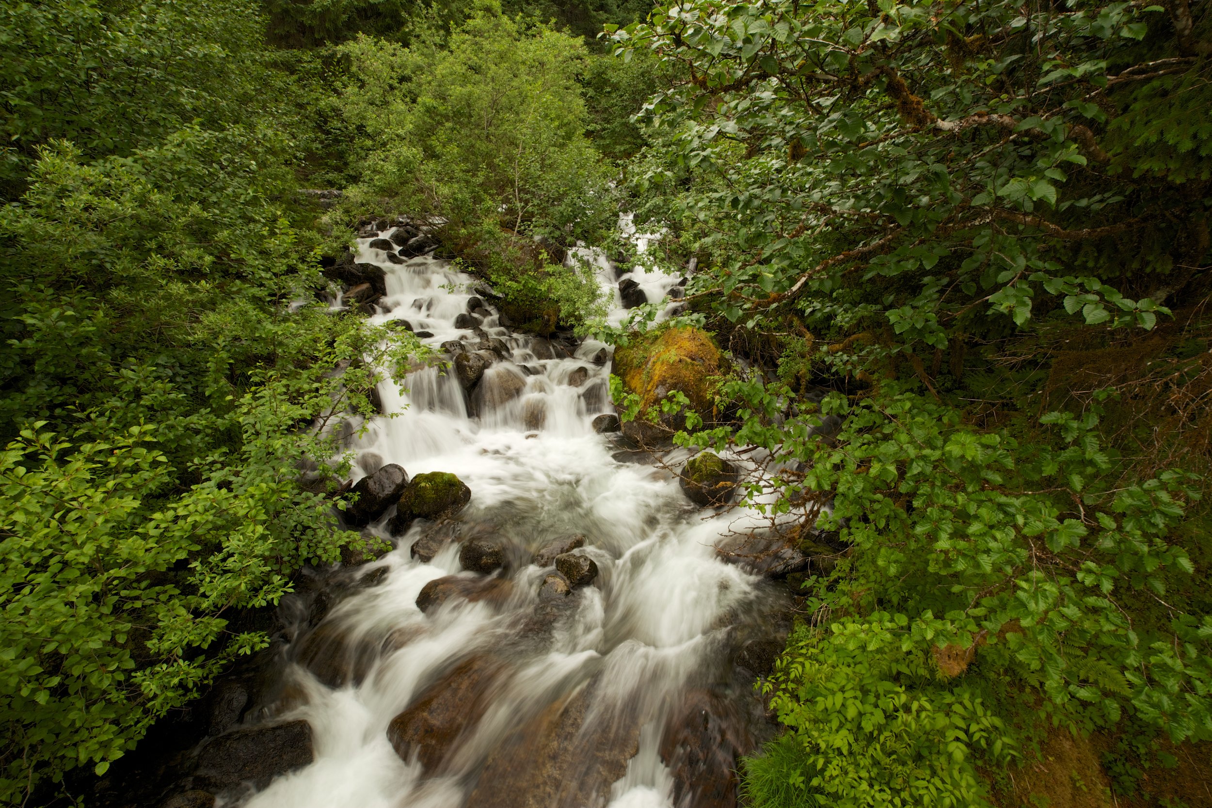
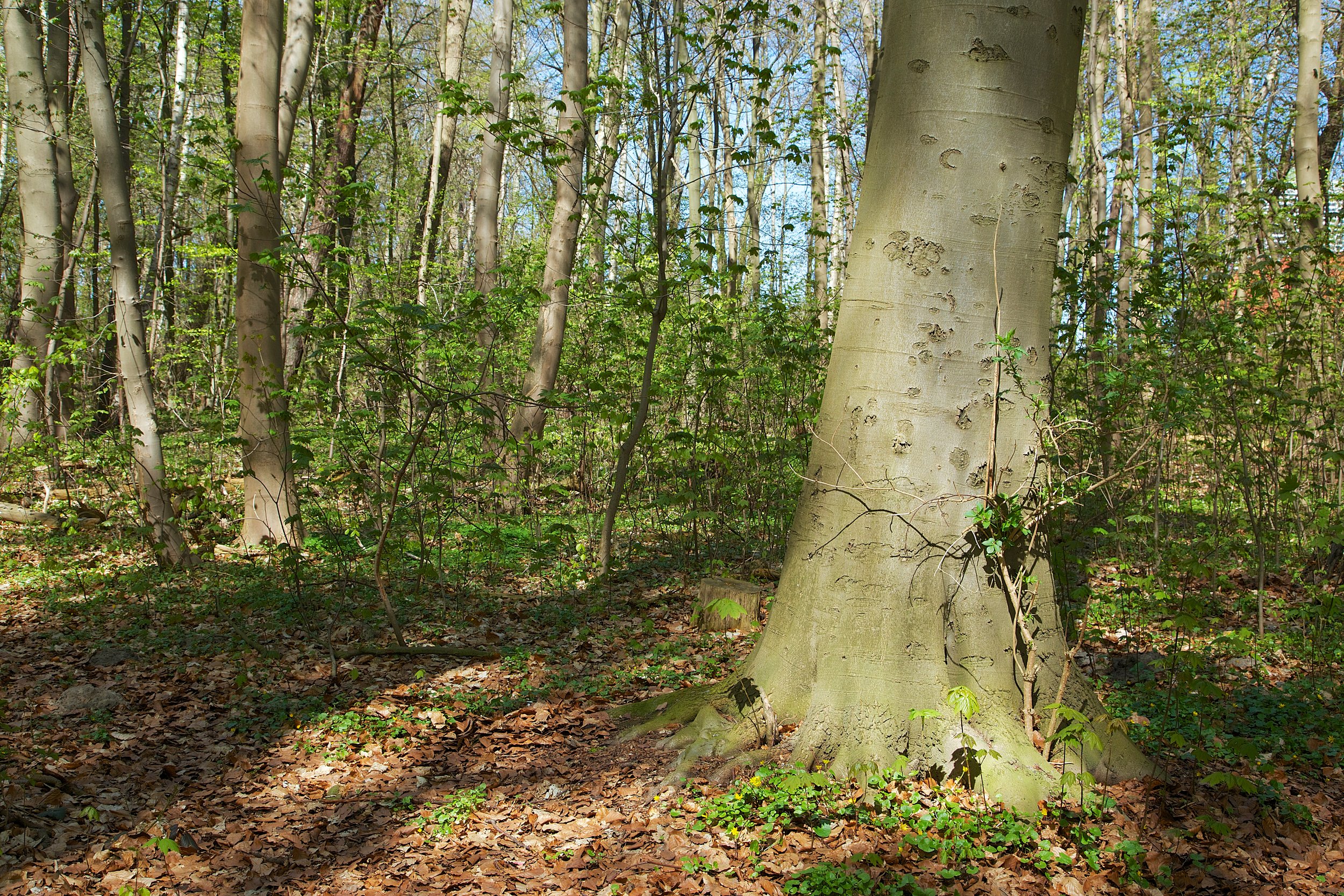
The surrounding forest was lush and vibrant.
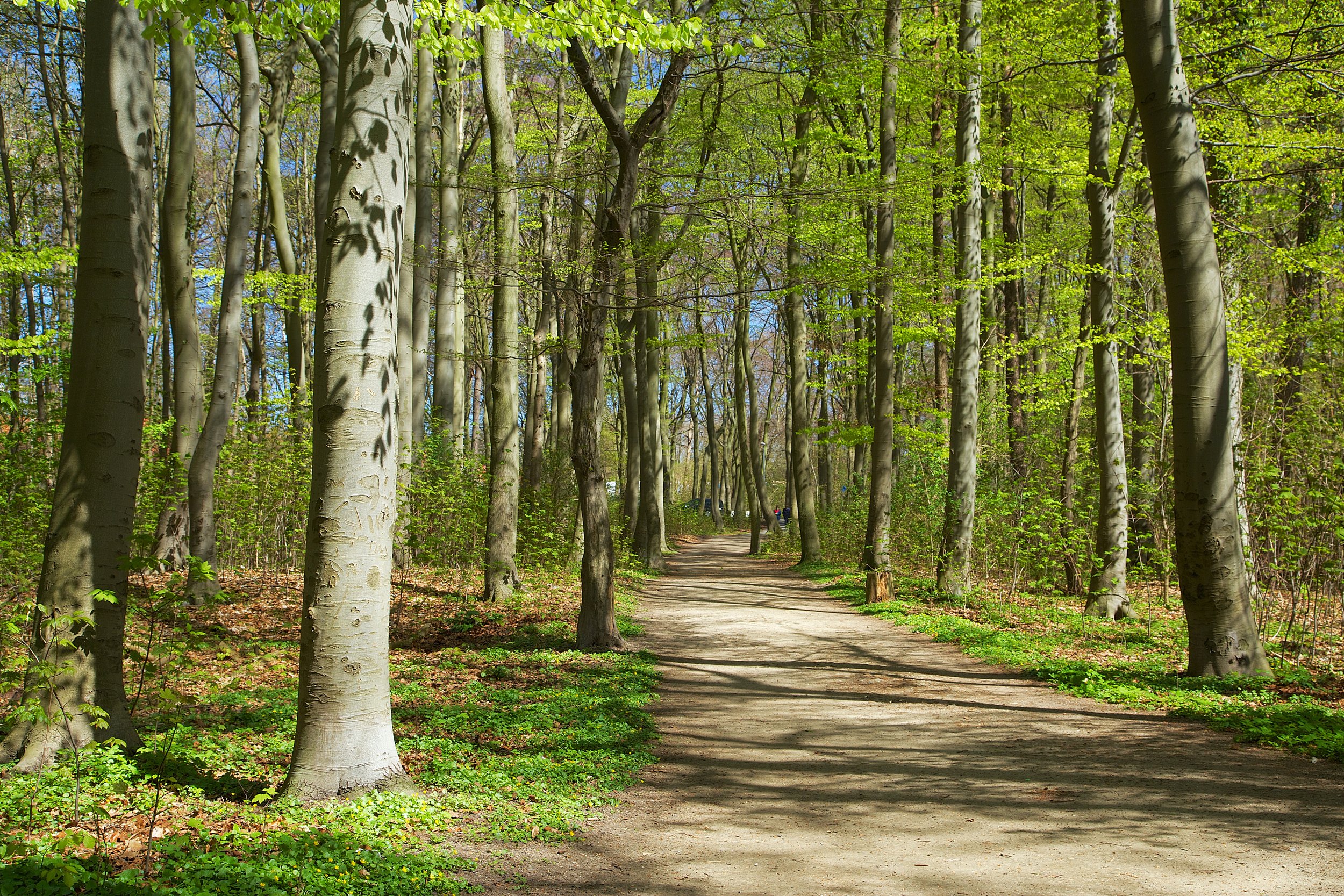
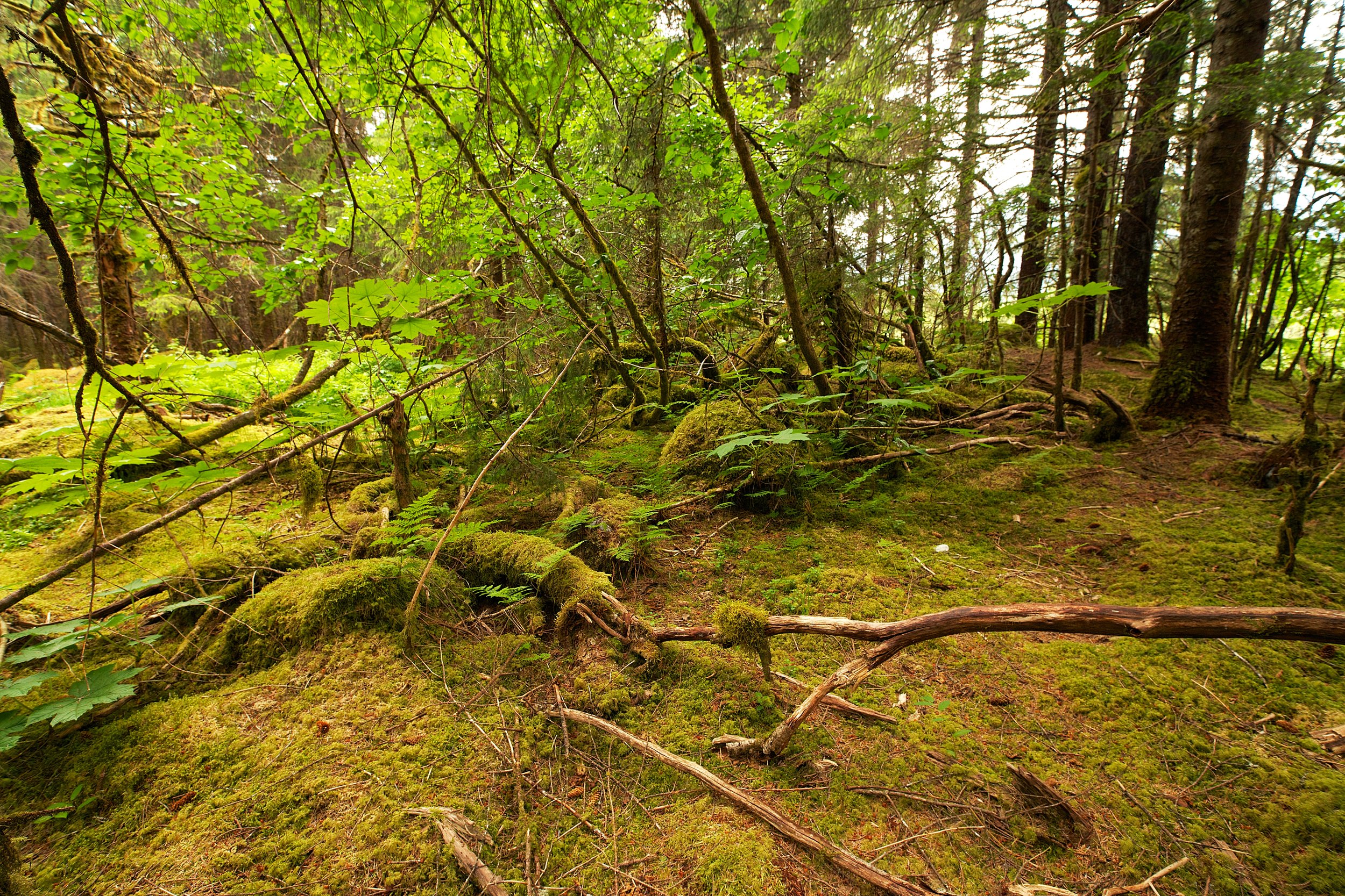
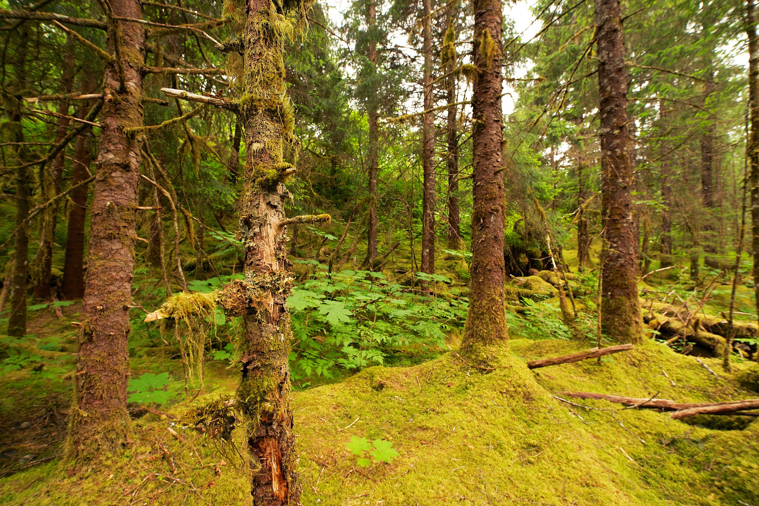
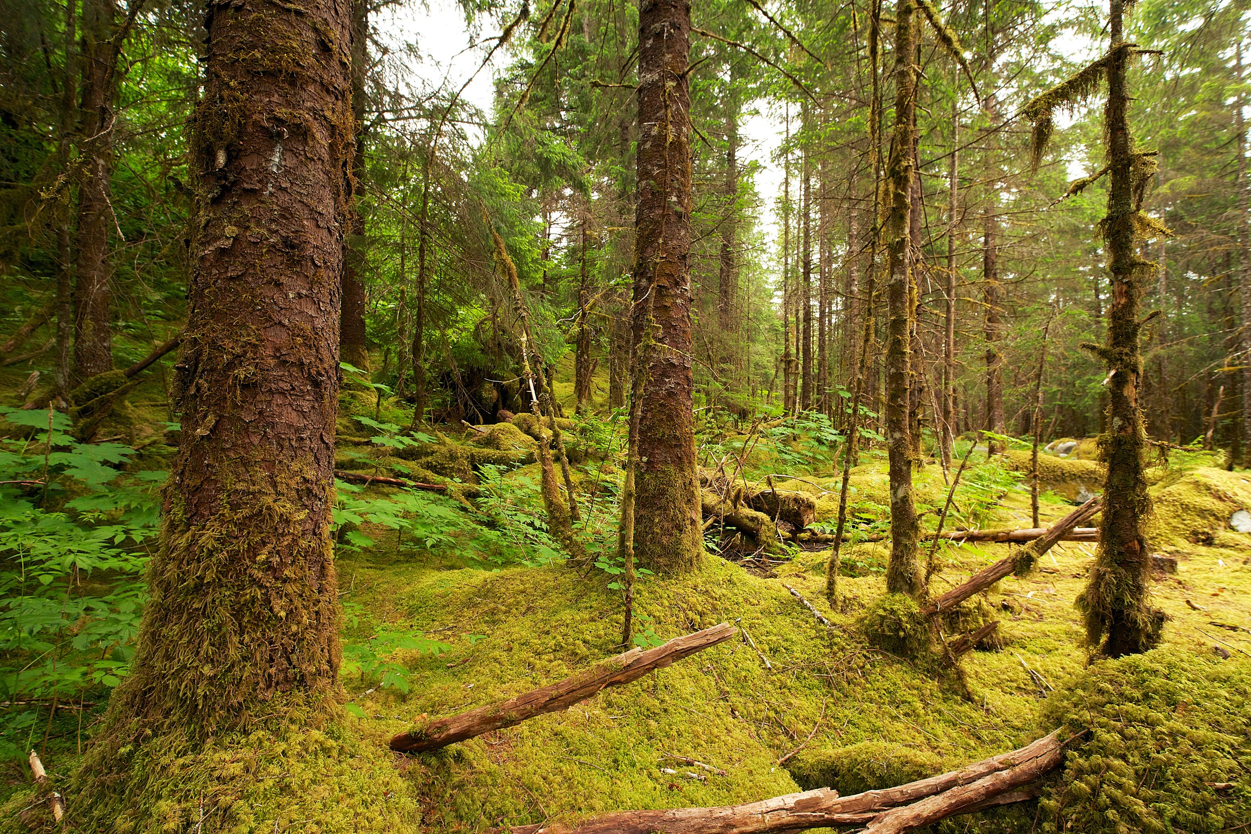
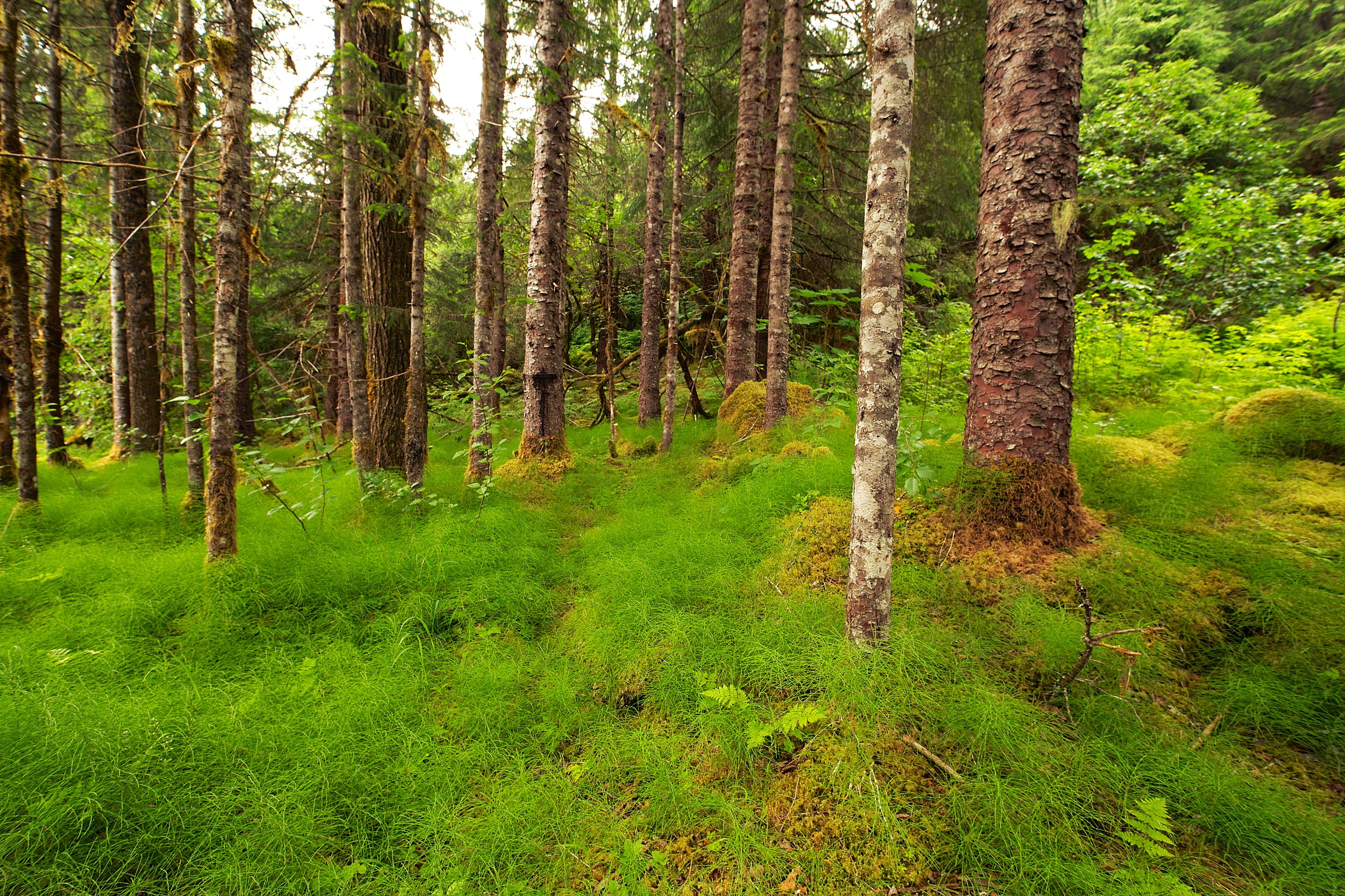
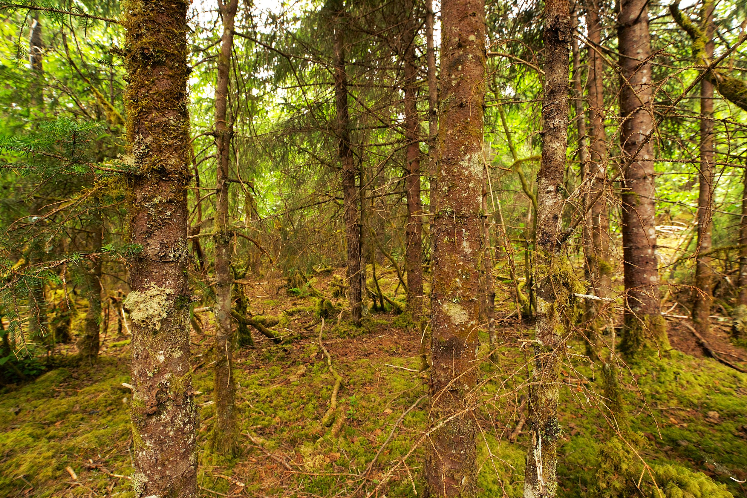
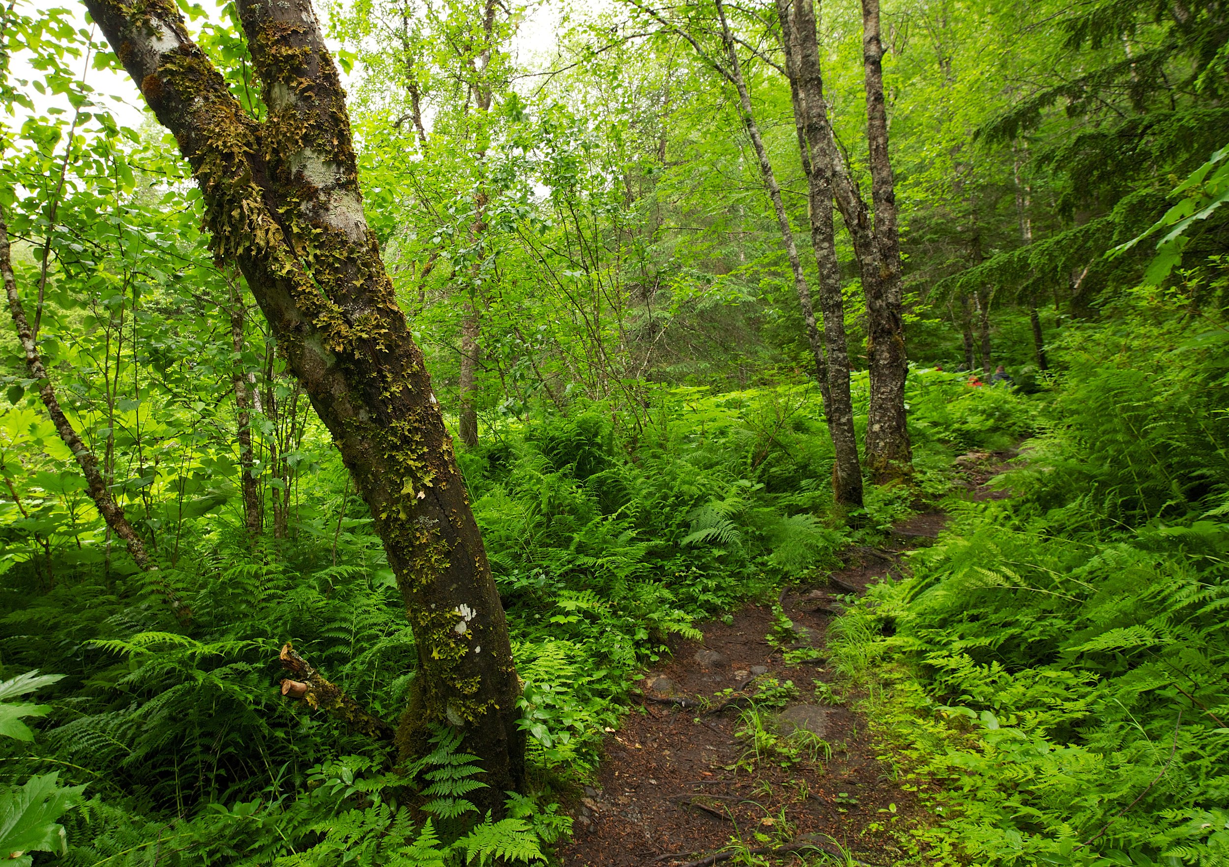
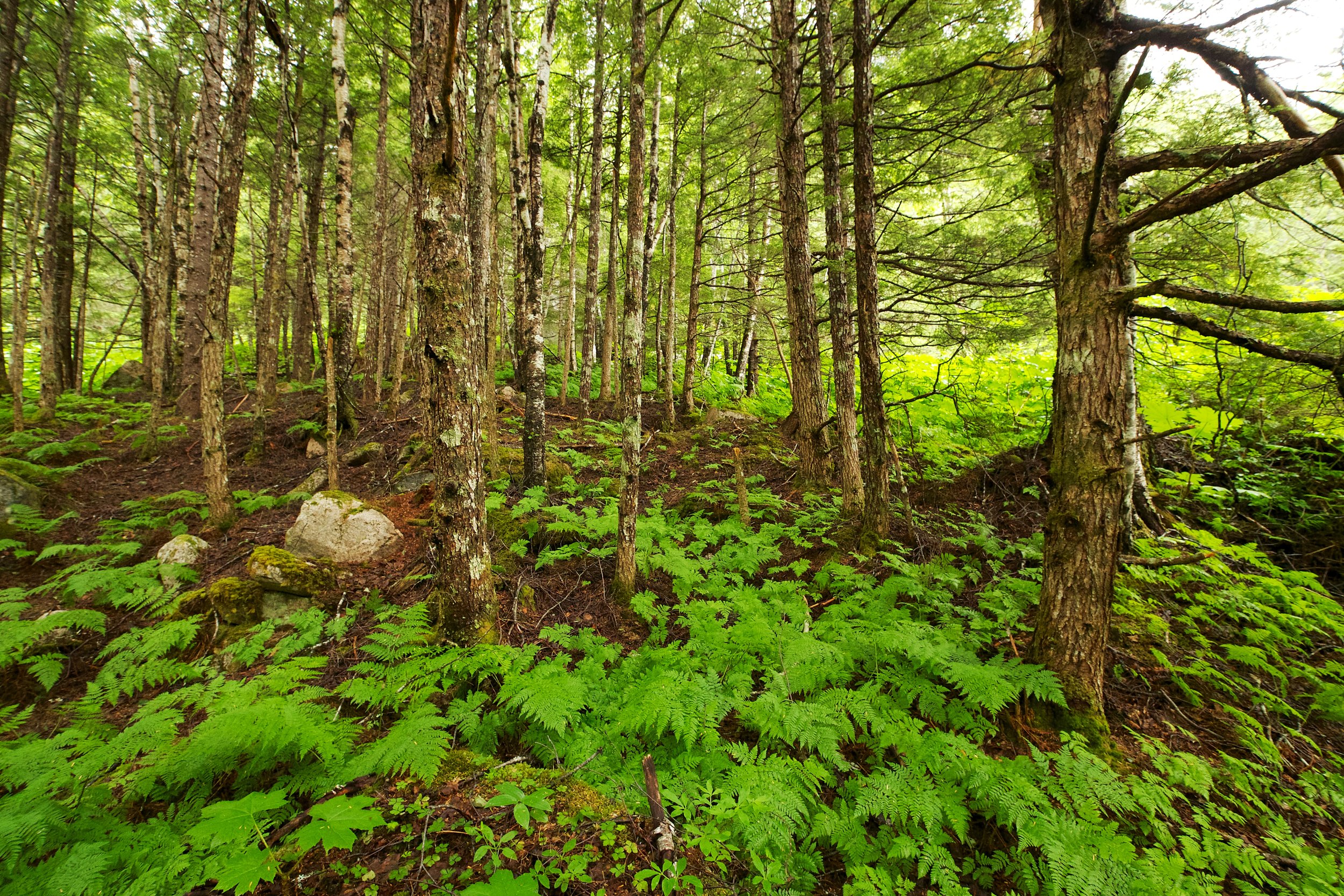
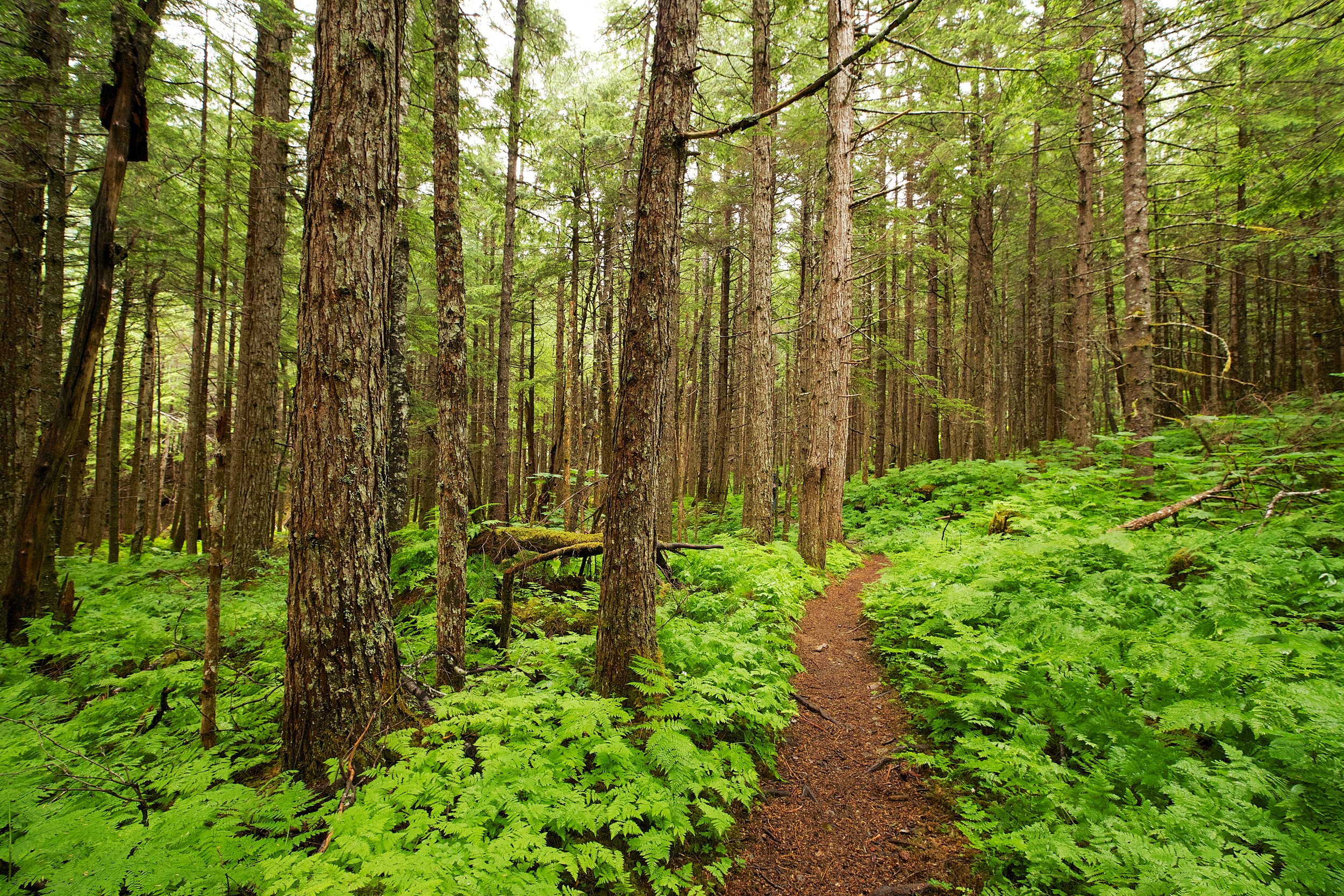
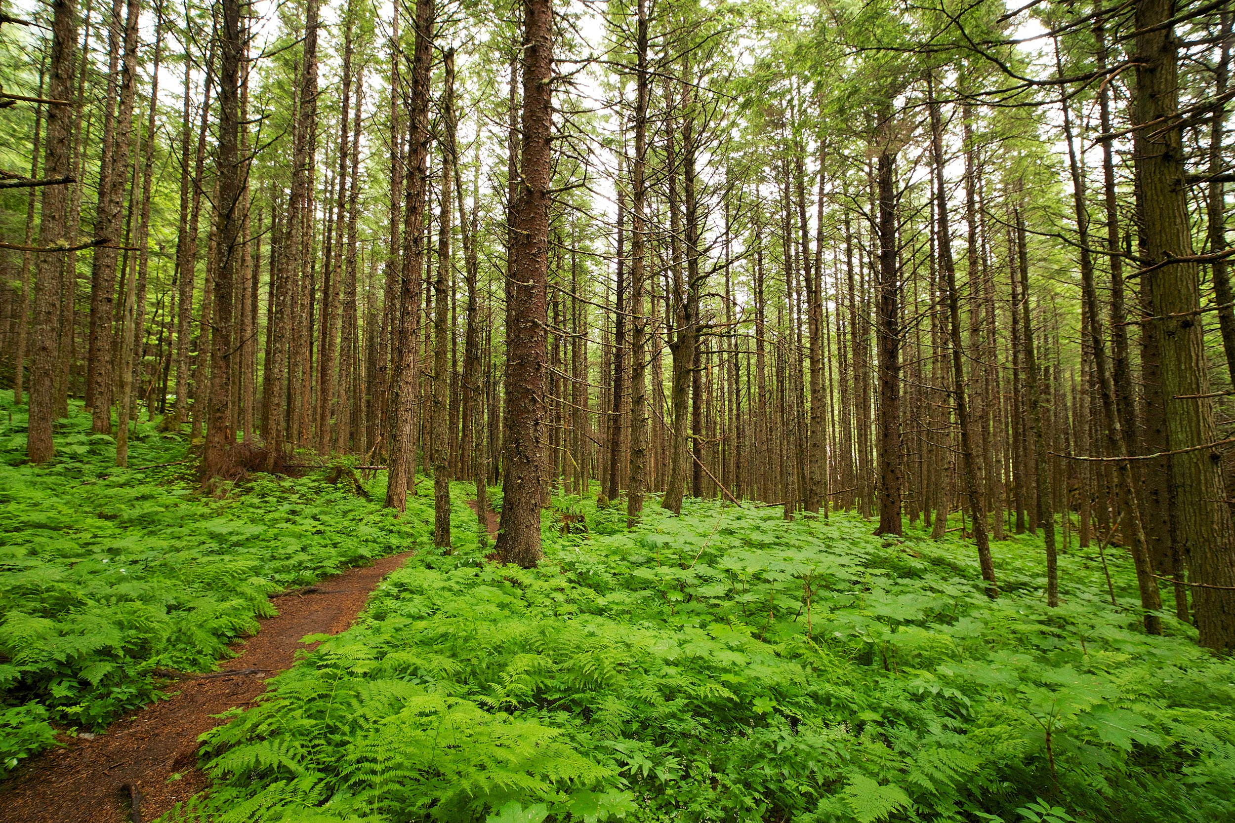
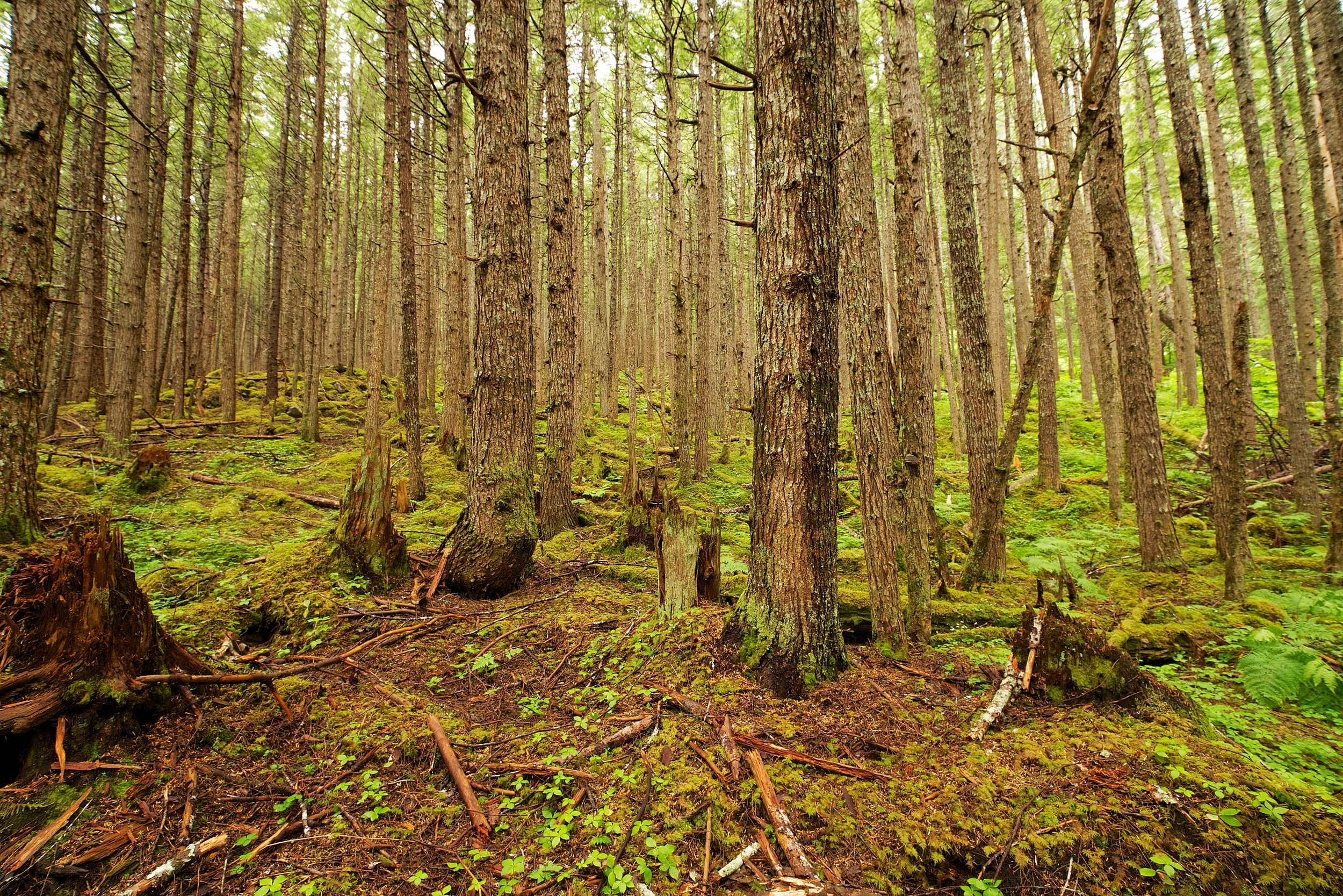
The next group of images are from the Tongass National Forest. We hiked the Denver Glacier Trail, and walked through some amazing old growth forest. These are probably my favorite images since I started this project.
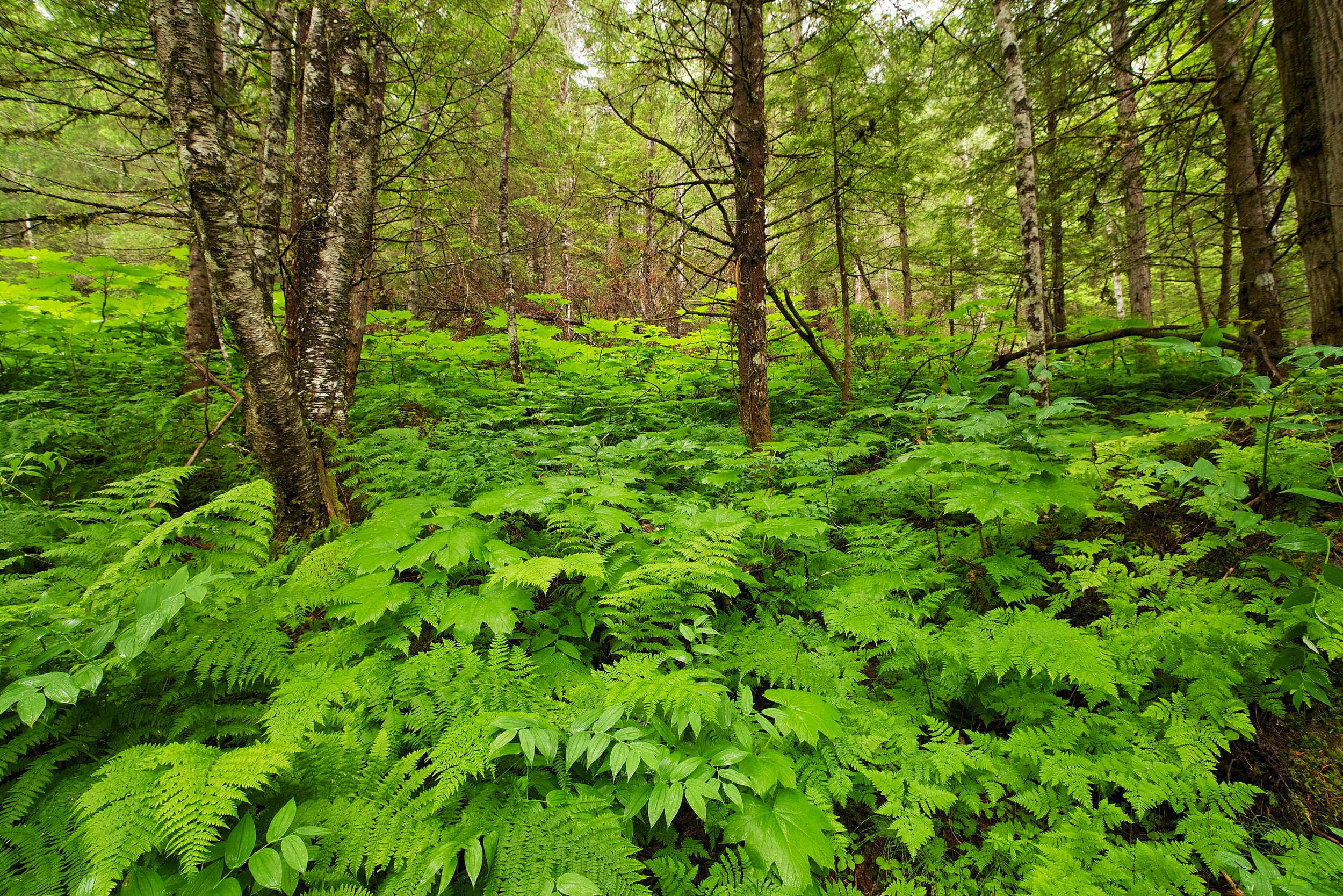

Glacier Hike
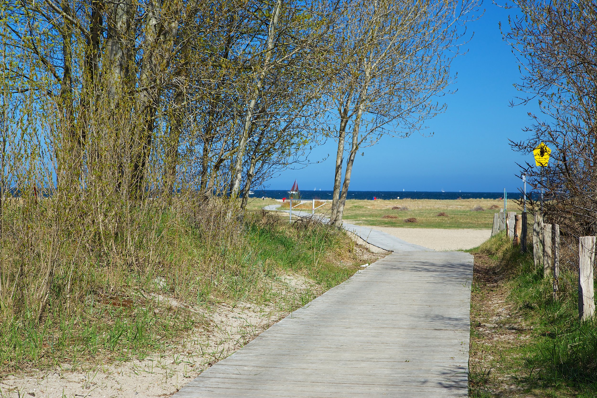
Mendenhall Glacier, Juneau Alaska

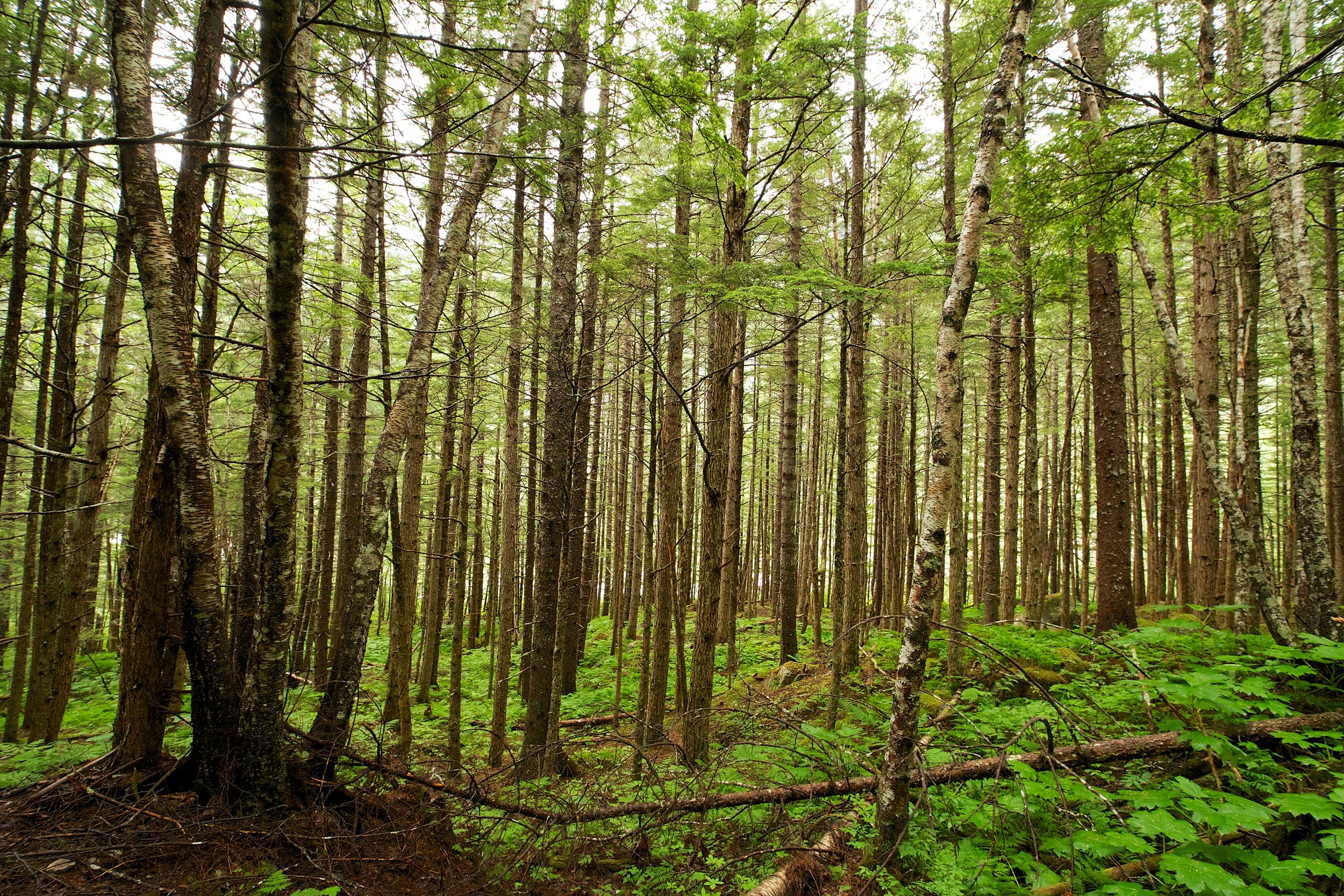
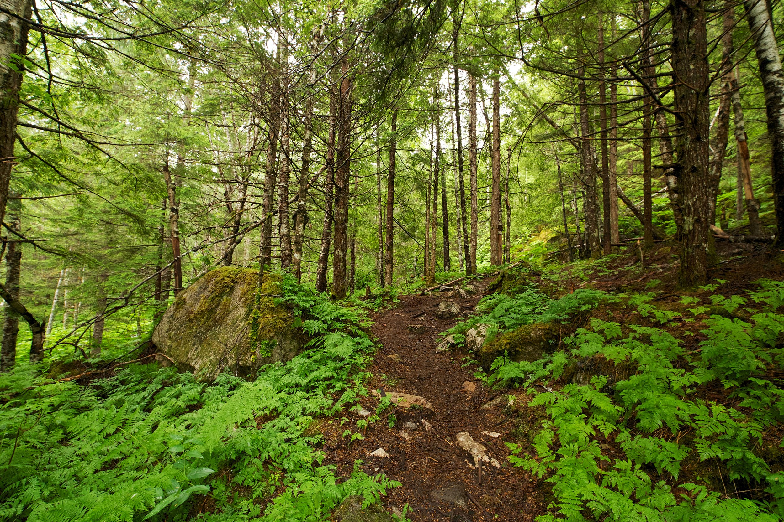
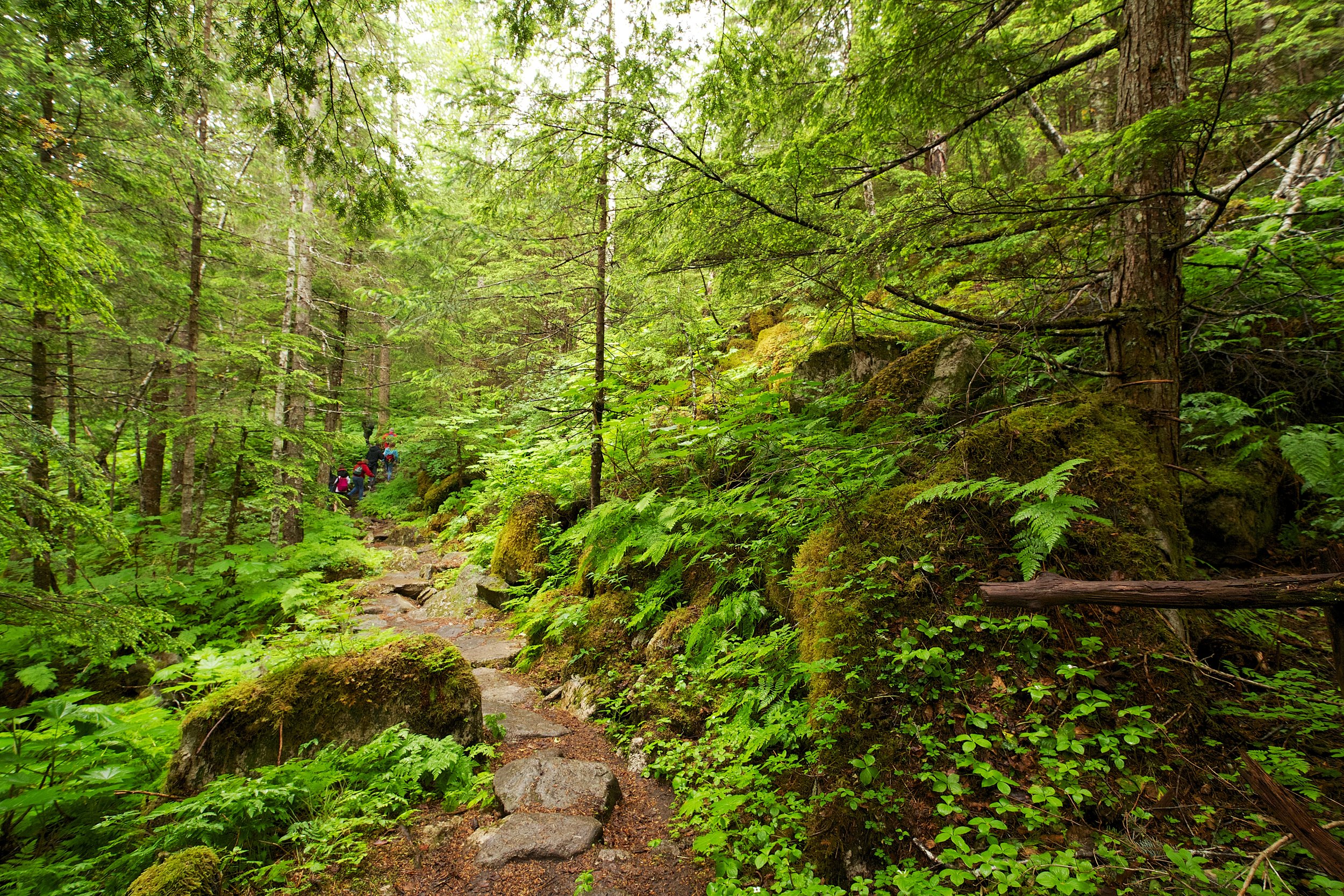
Denver Glacier Trail
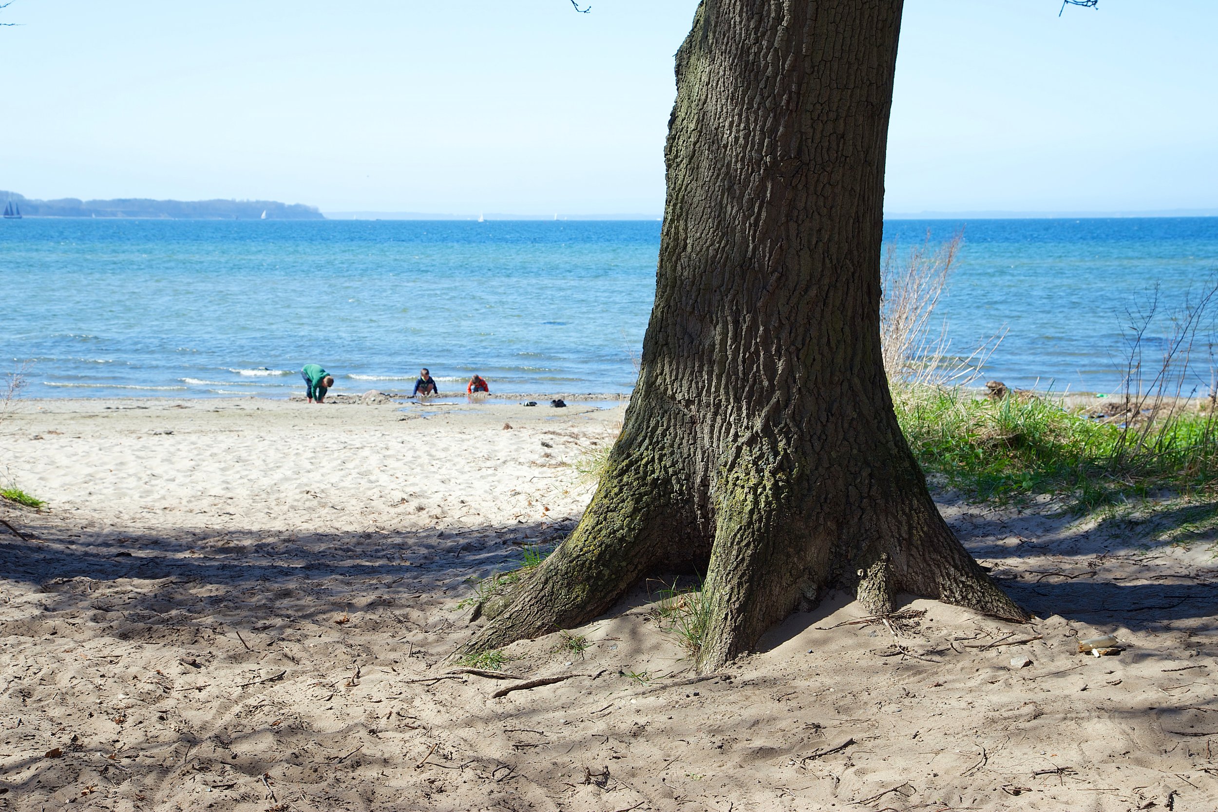
Skagway, Alaska