• Home
  • Trails
    • Trails and Hikes Blog
    • Photography
    • Trail and Hike Index
  • About
    • Background
    • Terms
  • Resources
    • Trail Safety
    • Trail Maps and Links
  • Programs
    • Corporate Wellness
    • Guided Meditation
    • Life Coaching
    • Personal Training
  • Contact
  • Menu

Find Your Trail®

Health and Wellness through Nature
  • Home
  • Trails
    • Trails and Hikes Blog
    • Photography
    • Trail and Hike Index
  • About
    • Background
    • Terms
  • Resources
    • Trail Safety
    • Trail Maps and Links
  • Programs
    • Corporate Wellness
    • Guided Meditation
    • Life Coaching
    • Personal Training
  • Contact
View from the Black Point Trail

View from the Black Point Trail

Black Point Trail Loop Hike - Each Direction

February 16, 2017

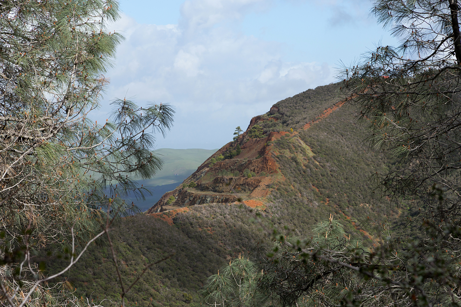
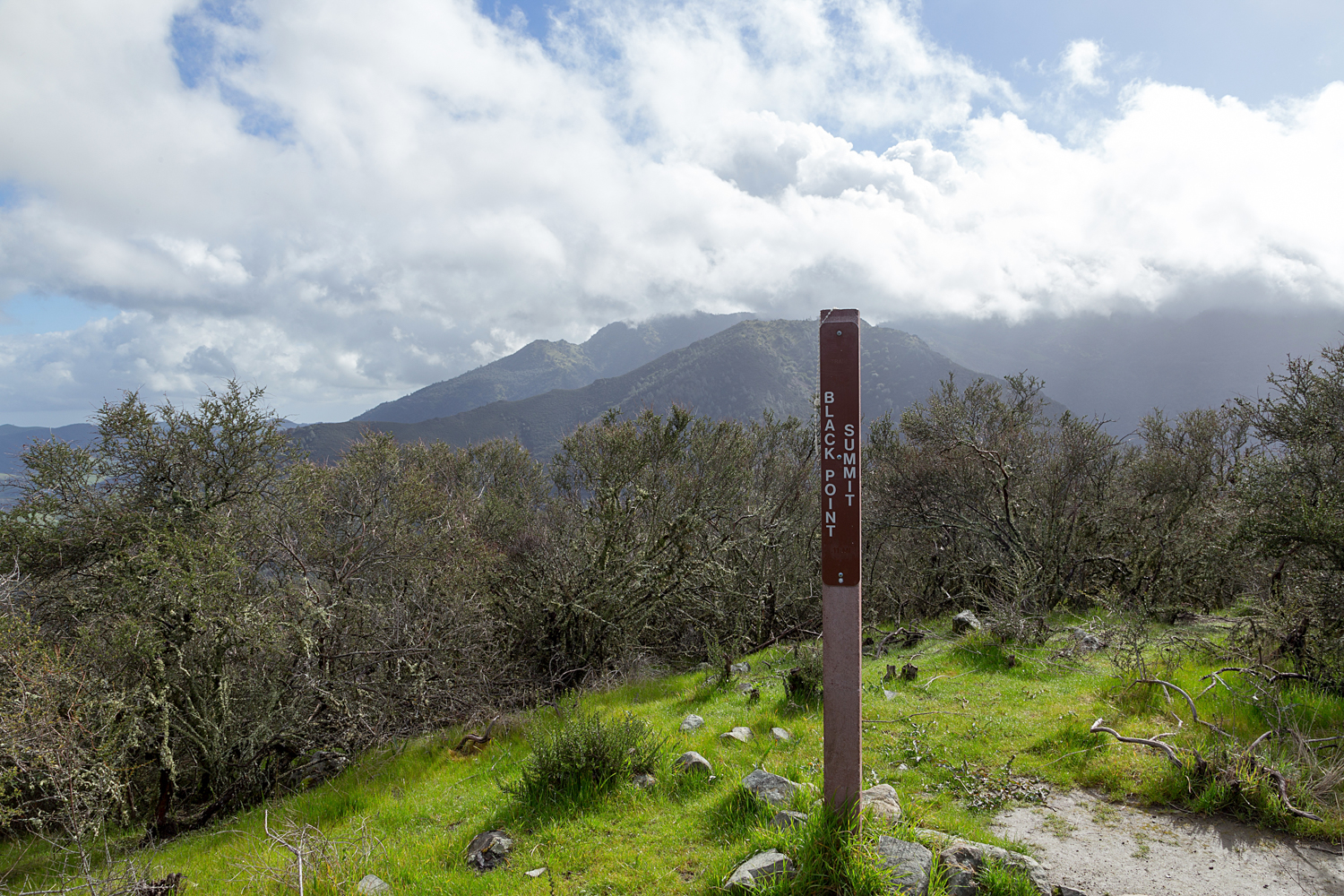
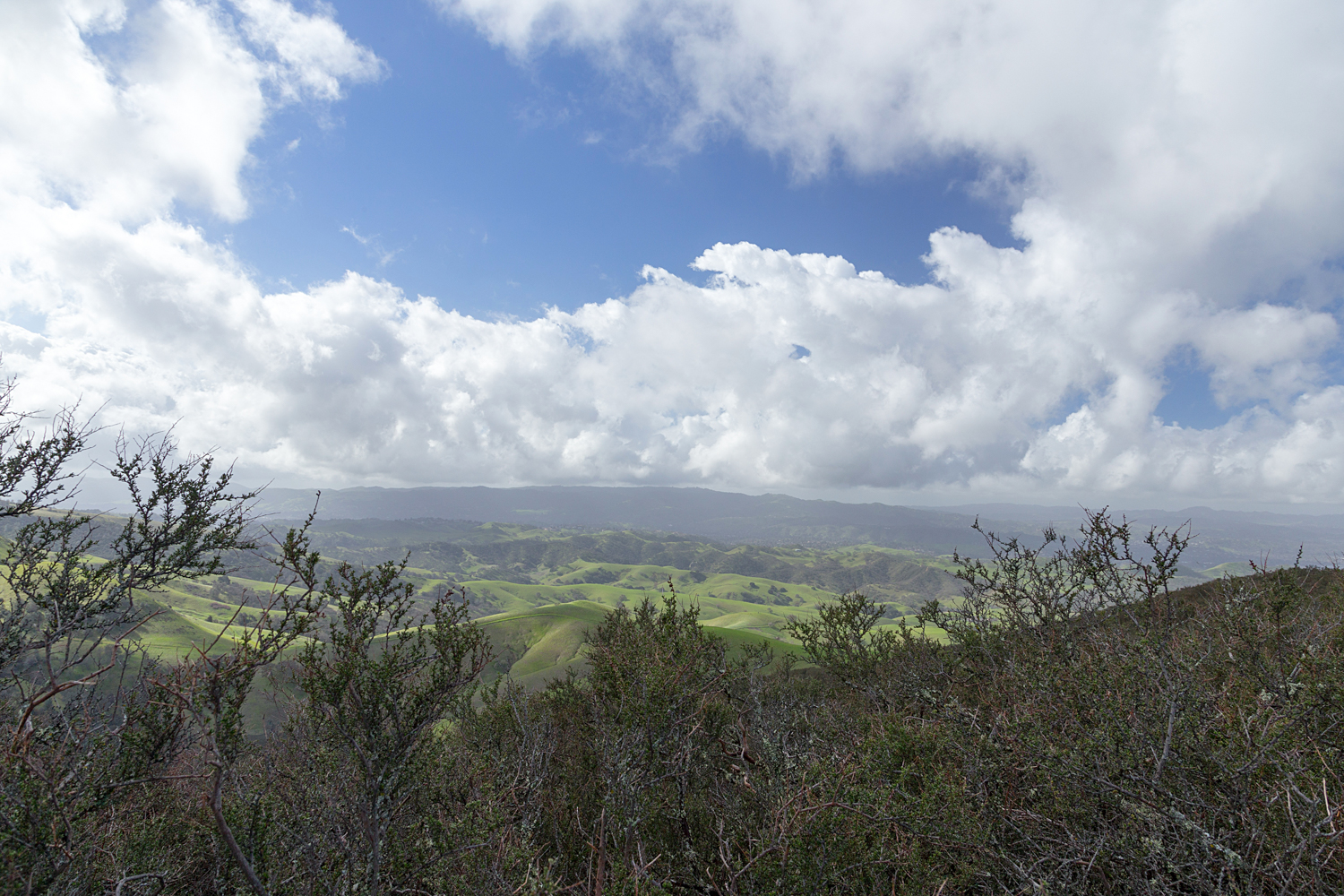
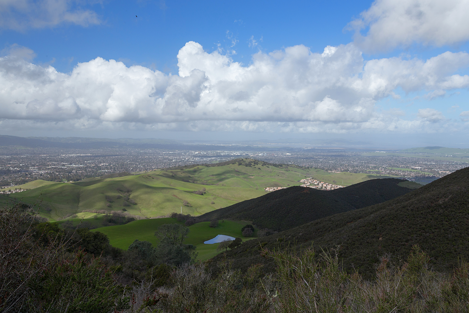
This is a route I decided to hike in each direction. Route 1 is a long, slow climb, followed by a shorter, steeper descent. Route 2 is the short, steep climb, with a long, slow descent. Each offers interesting views and perspectives. The ultimate goal is Black Point Summit, which offers views of the canyon below. You'll get a good look at the Clayton Quarry and the half eaten mountain.  The staging area and starts of the hike are the same, Mitchell Canyon Visitor Center.  State park fee applies. 

  • Location: Mount Diablo State Park
  • Trail Map

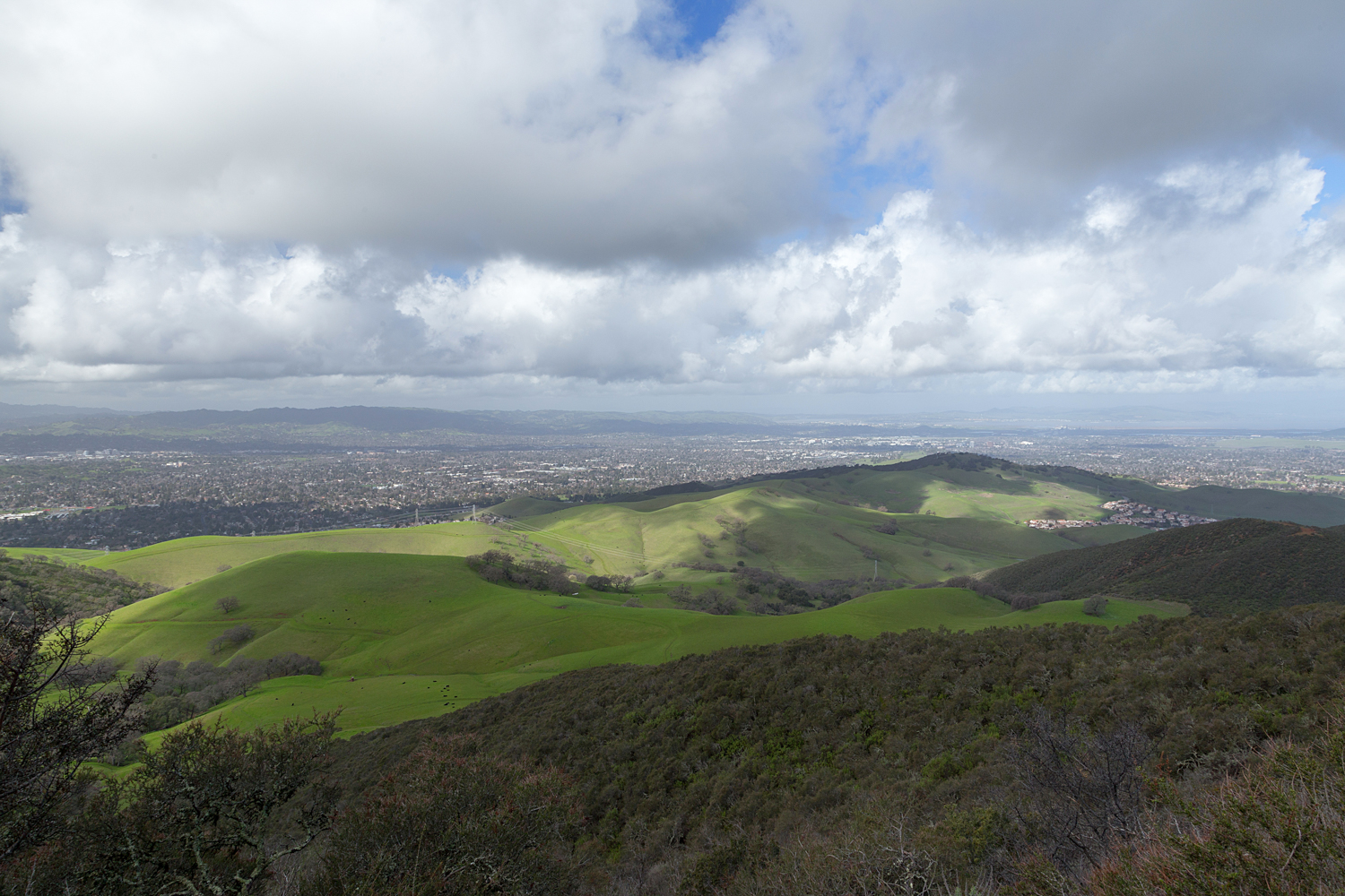
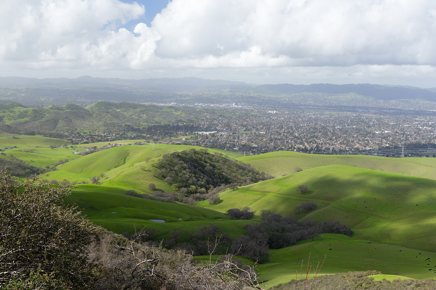
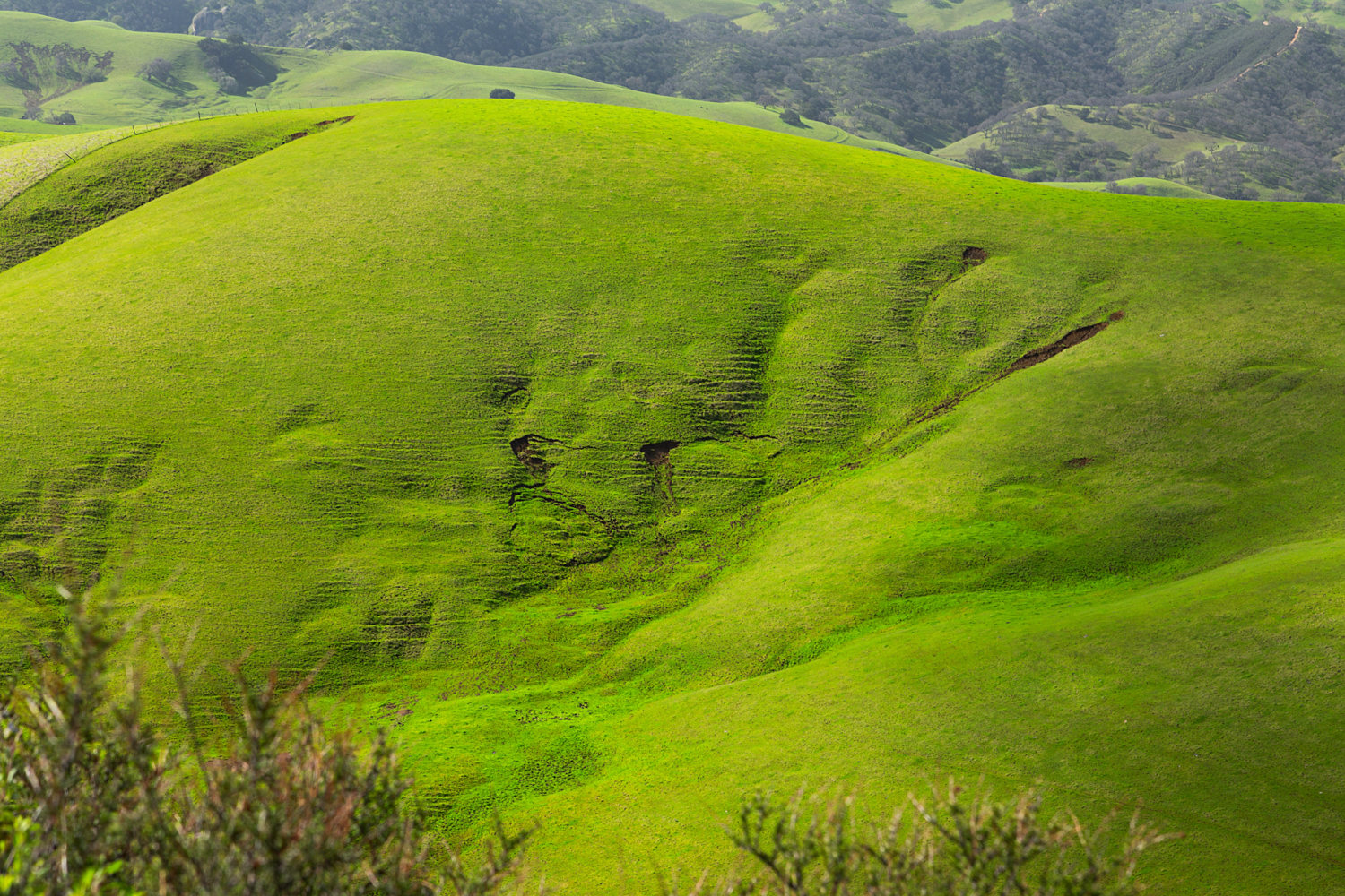
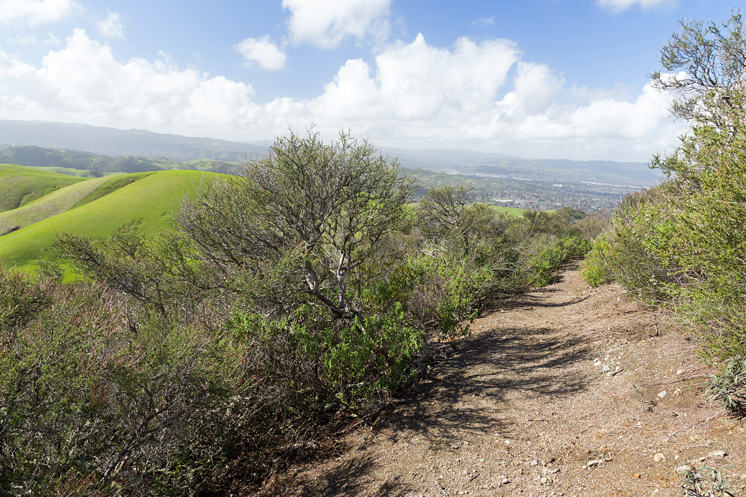
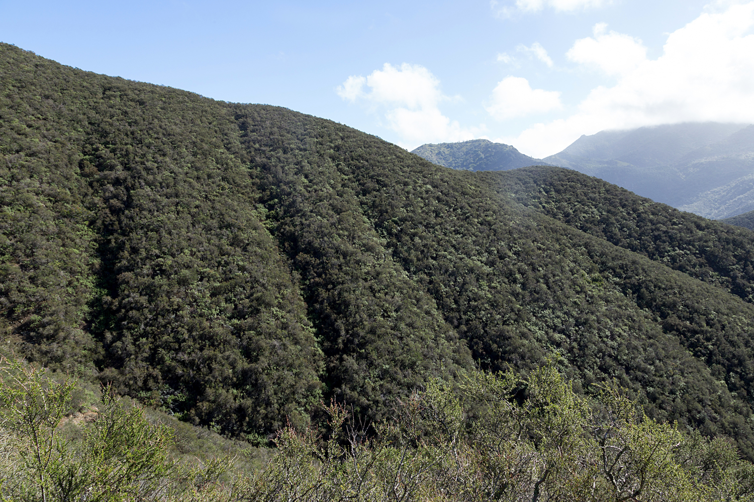
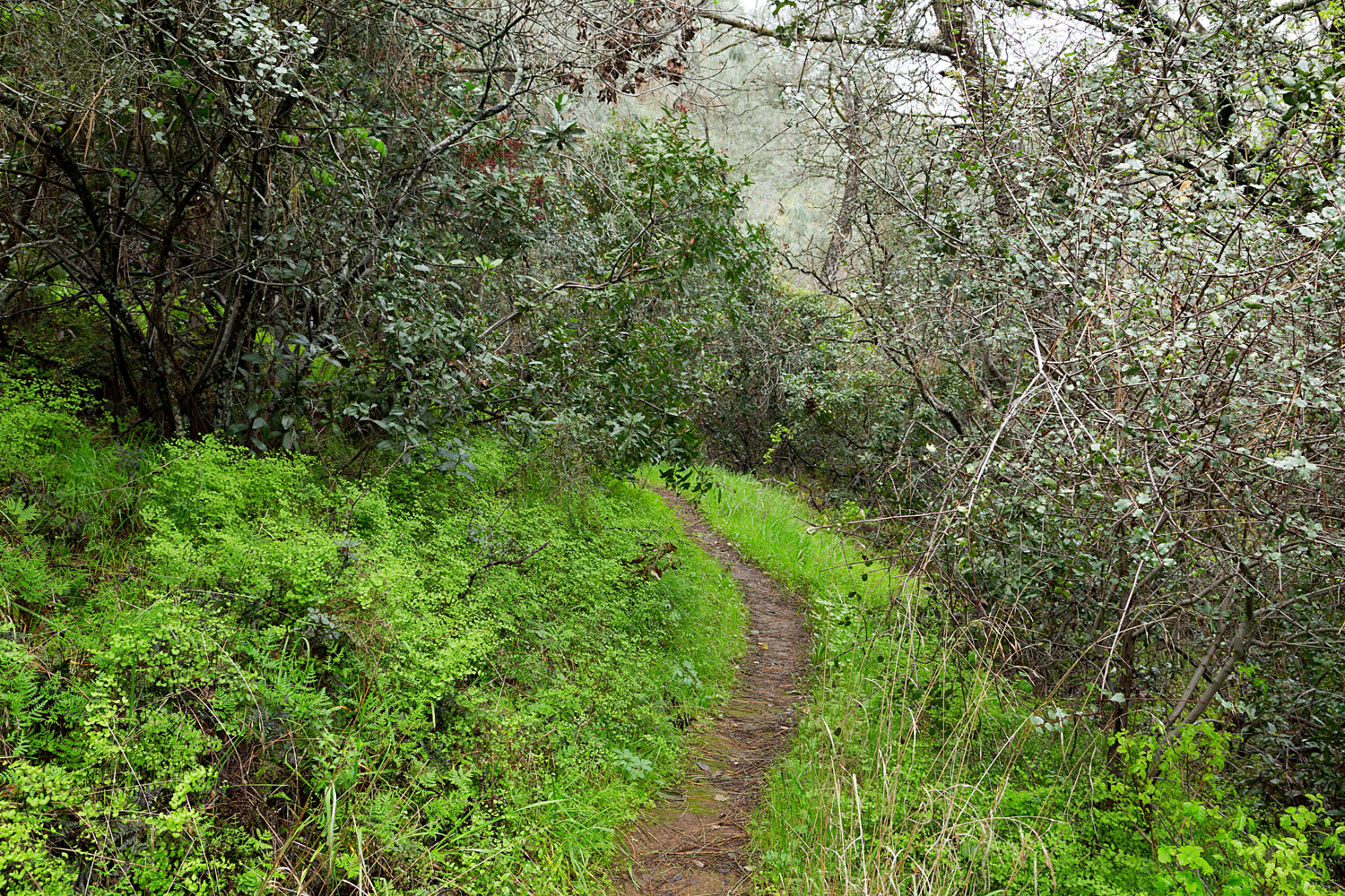
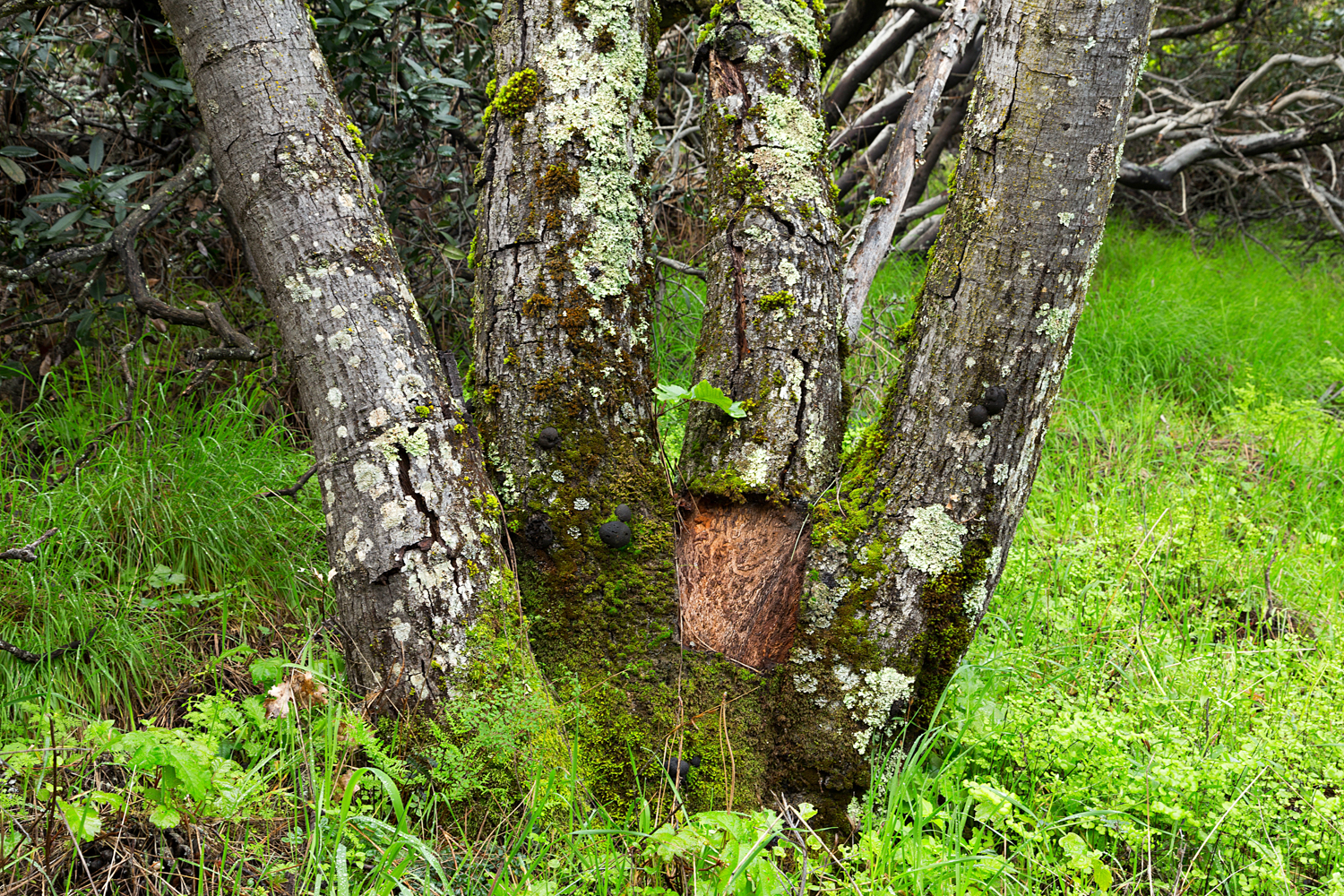
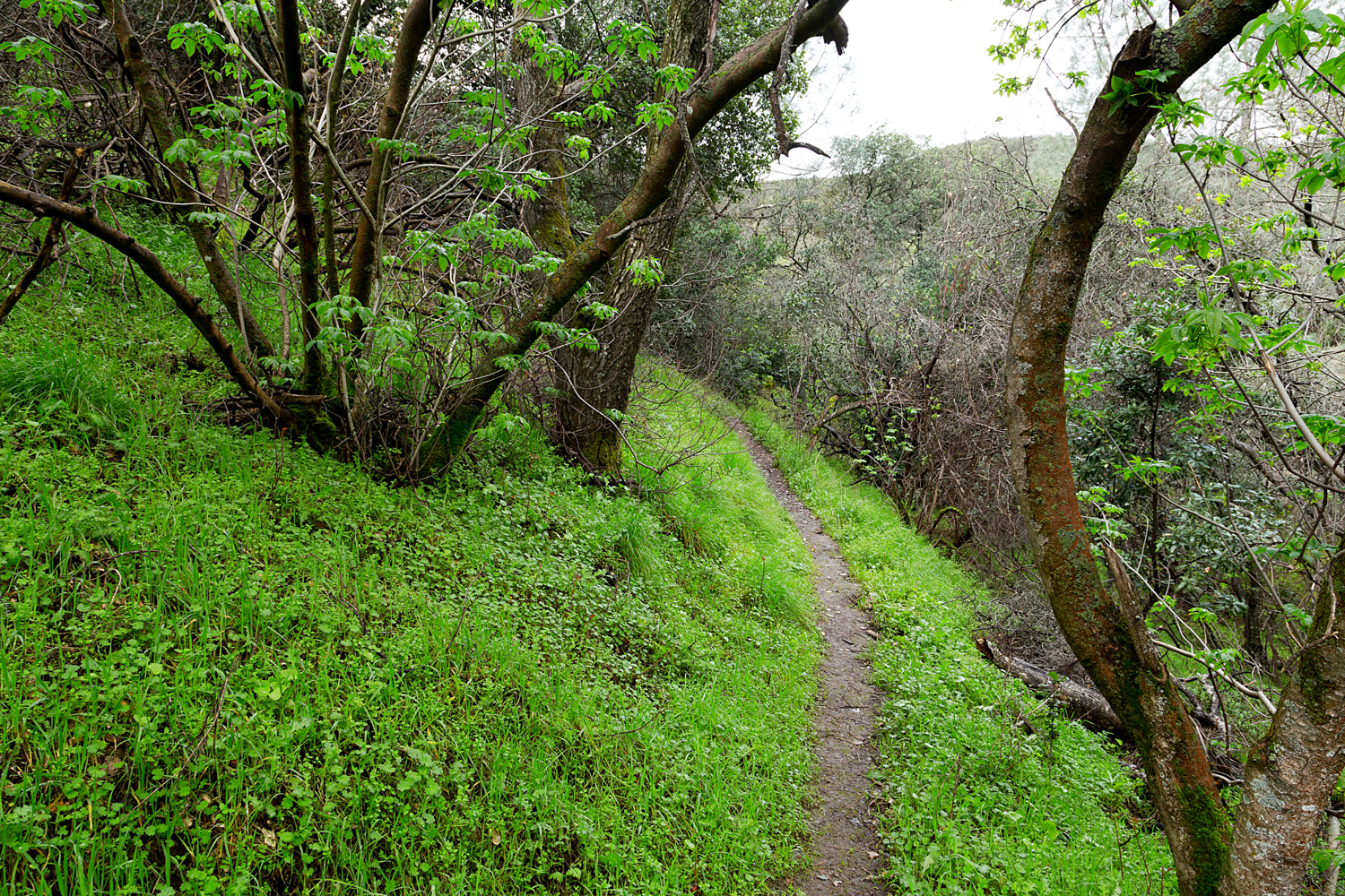
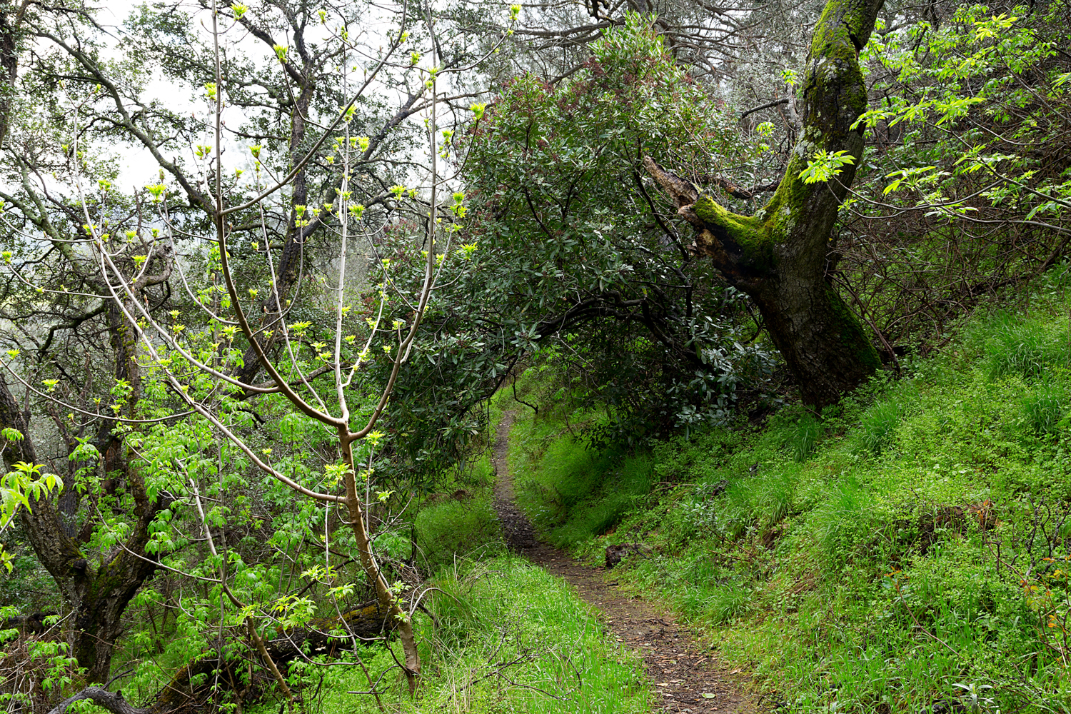
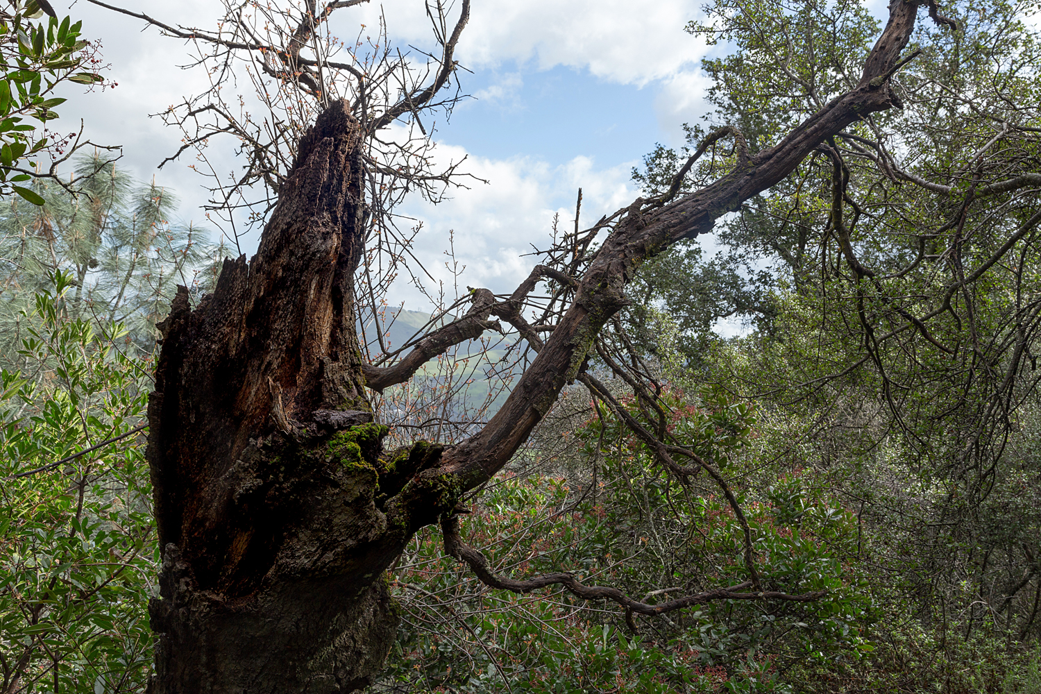
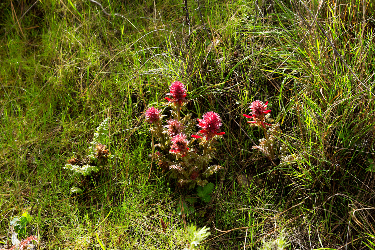
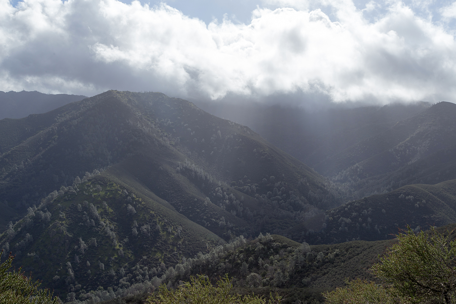
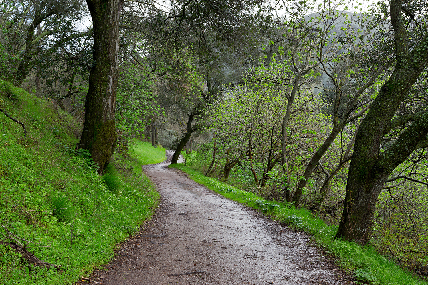
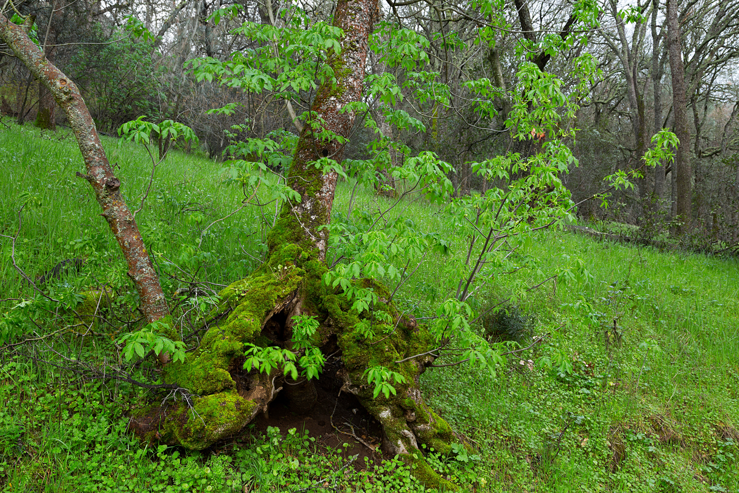
Scenes from Route 1:

mount diablo state park black point 1-2.jpg
mount diablo state park black point 1-3.jpg
mount diablo state park black point 1-4.jpg
mount diablo state park black point 1-5.jpg
mount diablo state park black point 1-6.jpg
mount diablo state park black point 1-7.jpg
mount diablo state park black point 1-8.jpg
mount diablo state park black point 1-9.jpg
mount diablo state park black point 1-10.jpg
mount diablo state park black point 1-11.jpg
mount diablo state park black point 1-12.jpg
mount diablo state park black point 1.jpg
mount diablo state park black point 1-2.jpg mount diablo state park black point 1-3.jpg mount diablo state park black point 1-4.jpg mount diablo state park black point 1-5.jpg mount diablo state park black point 1-6.jpg mount diablo state park black point 1-7.jpg mount diablo state park black point 1-8.jpg mount diablo state park black point 1-9.jpg mount diablo state park black point 1-10.jpg mount diablo state park black point 1-11.jpg mount diablo state park black point 1-12.jpg mount diablo state park black point 1.jpg

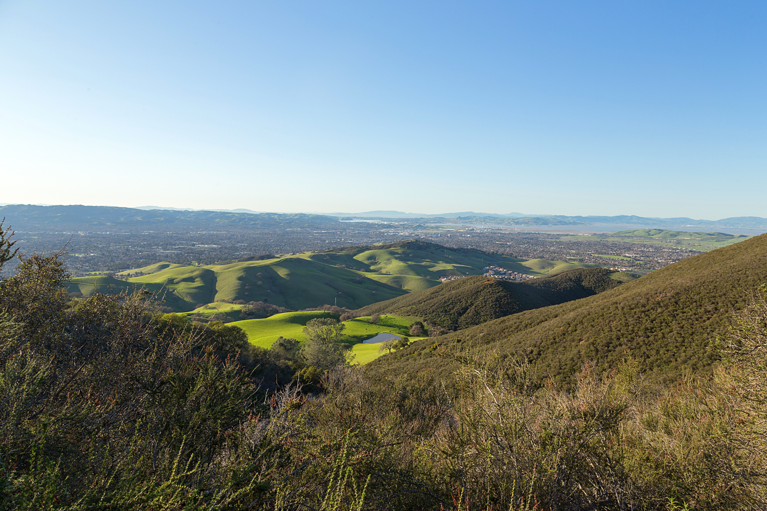
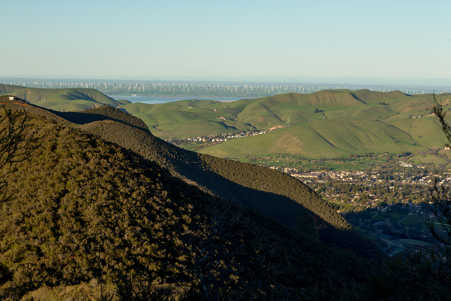
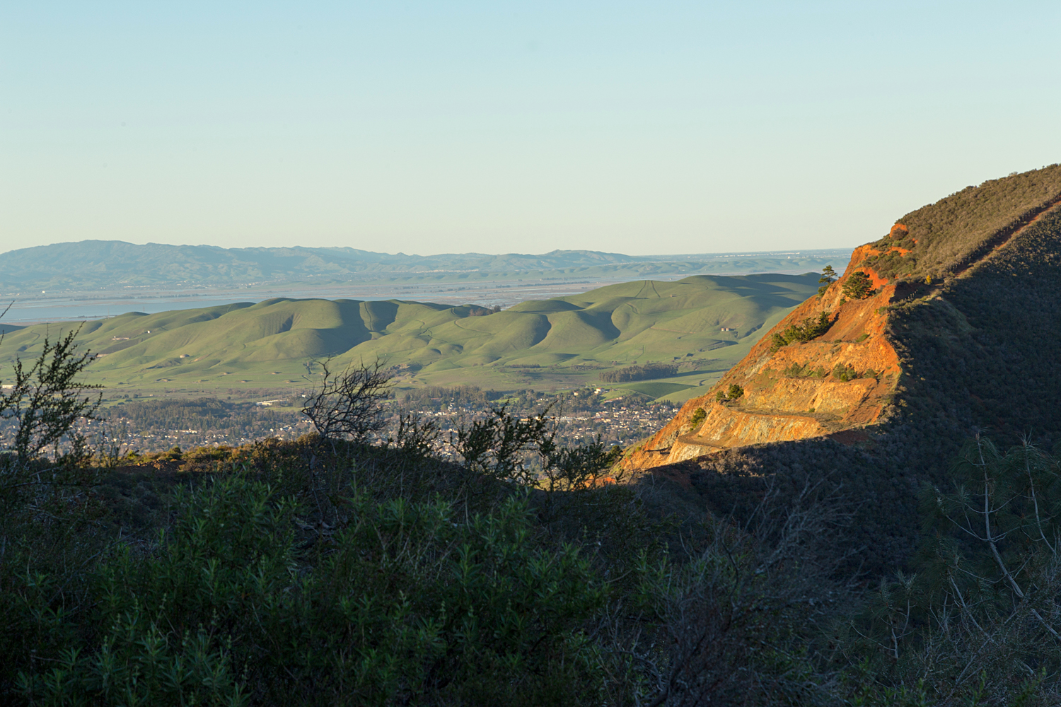
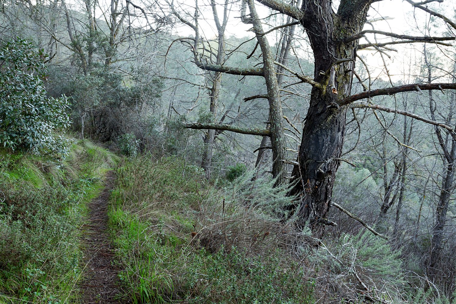
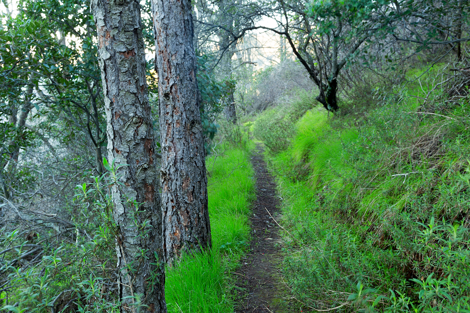
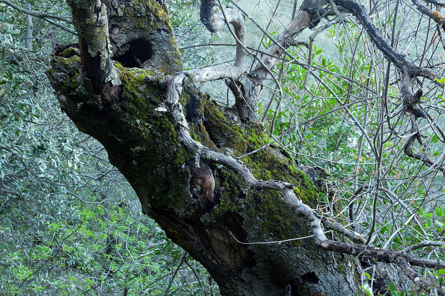
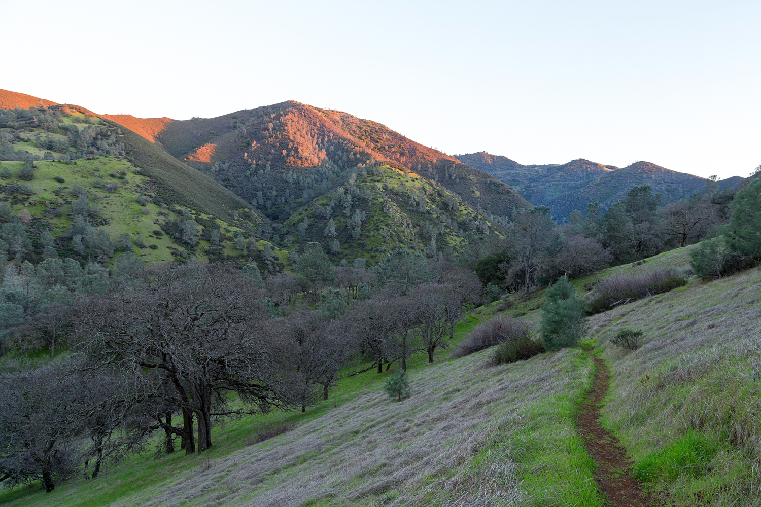
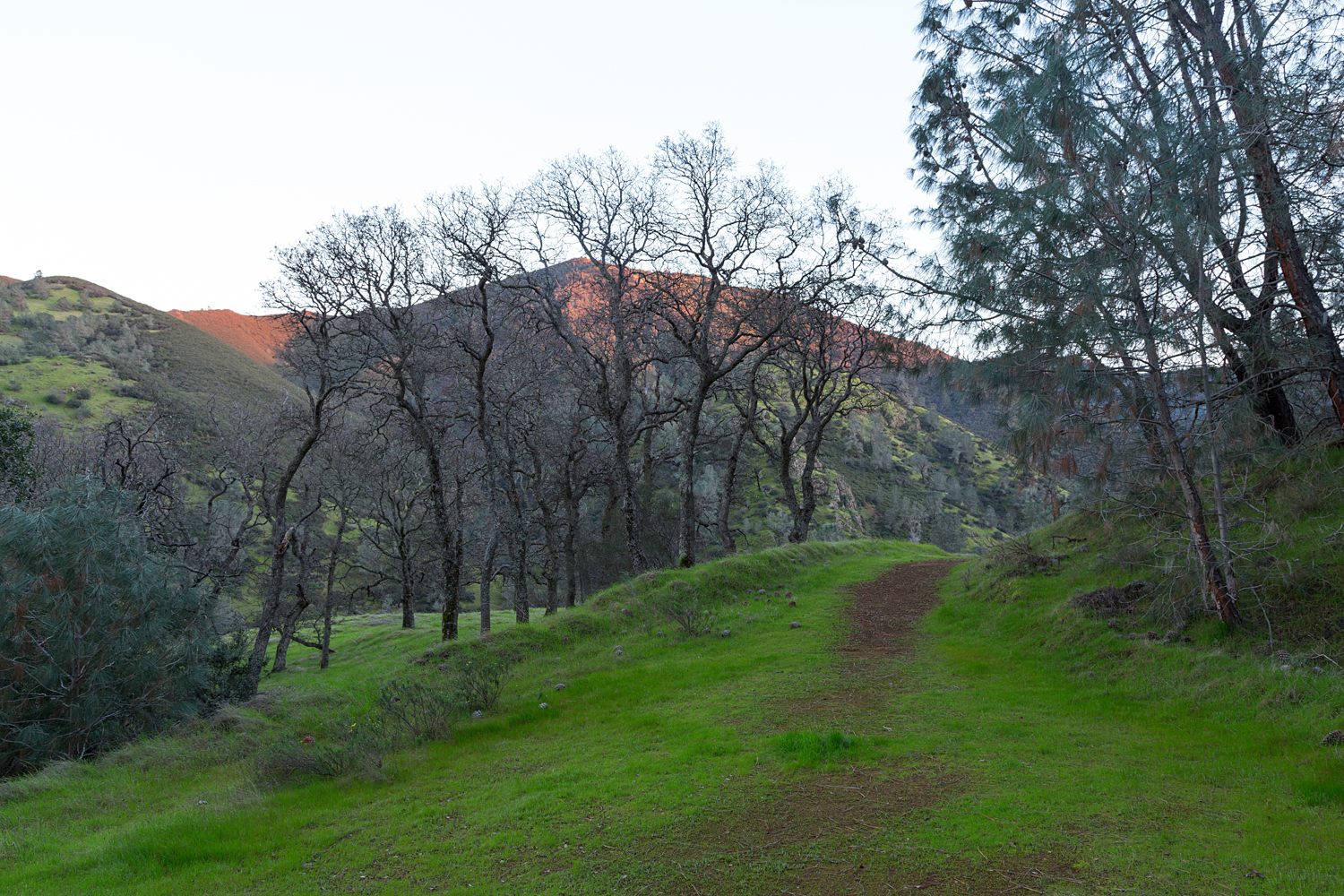
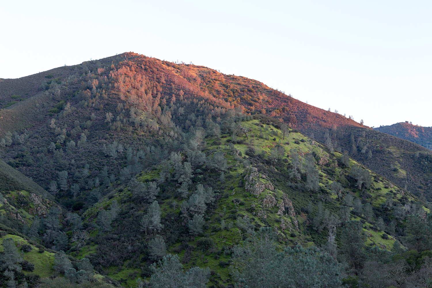
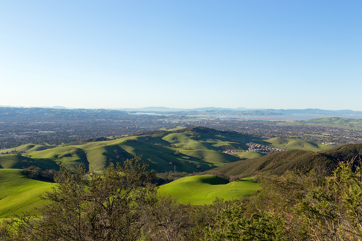
Route 1: From the Mitchell Canyon Visitor Center, follow Mitchell Canyon Road to Red Road. Turn Right on to Red Road, and continue to Black Point Trail. Turn Right on to Black Point Trail, and climb up to Black Point Summit. Follow the sign for the short summit trail. Climbing down from the summit, turn Right on to Black Point Trail, and continue on to Mitchell Canyon Road. Turn Left on to Mitchell Canyon Road, and follow to the staging area where you started. (Hiked February 11, 2017)

  • Mileage: 5.53 miles, 1115 feet elevation gain
  • Difficulty Level: Moderate
mount diablo state park black point 1-6.jpg

Black Point Loop

Mount Diablo State Park, February 11, 2017

Full Image Gallery

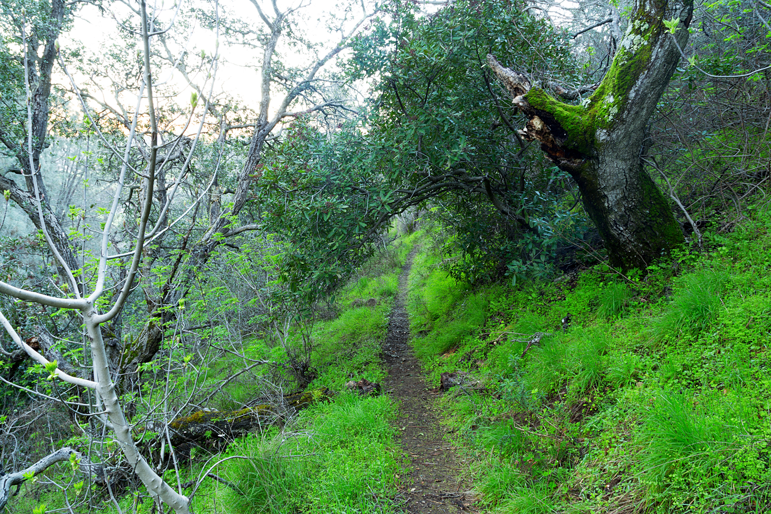
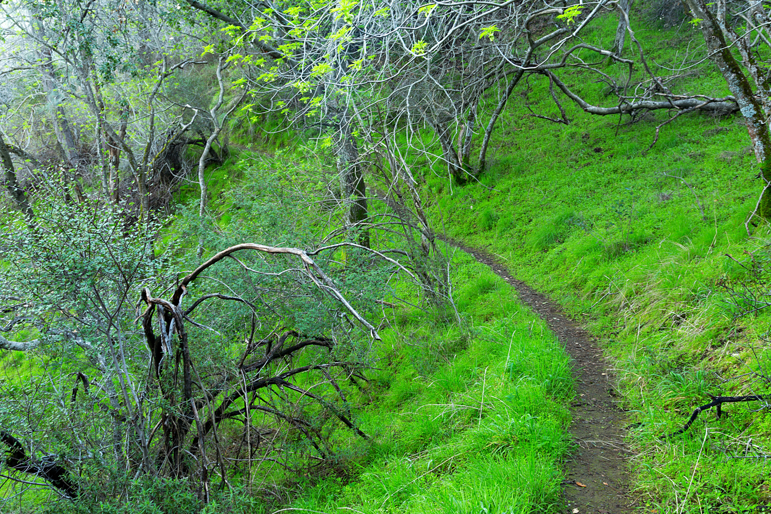
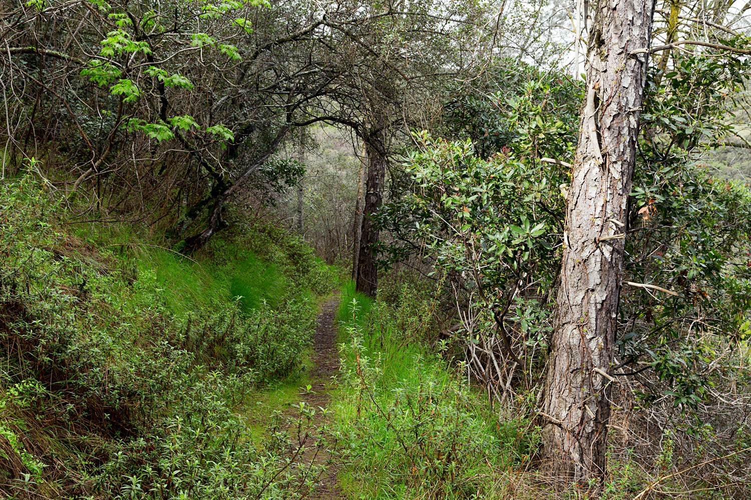
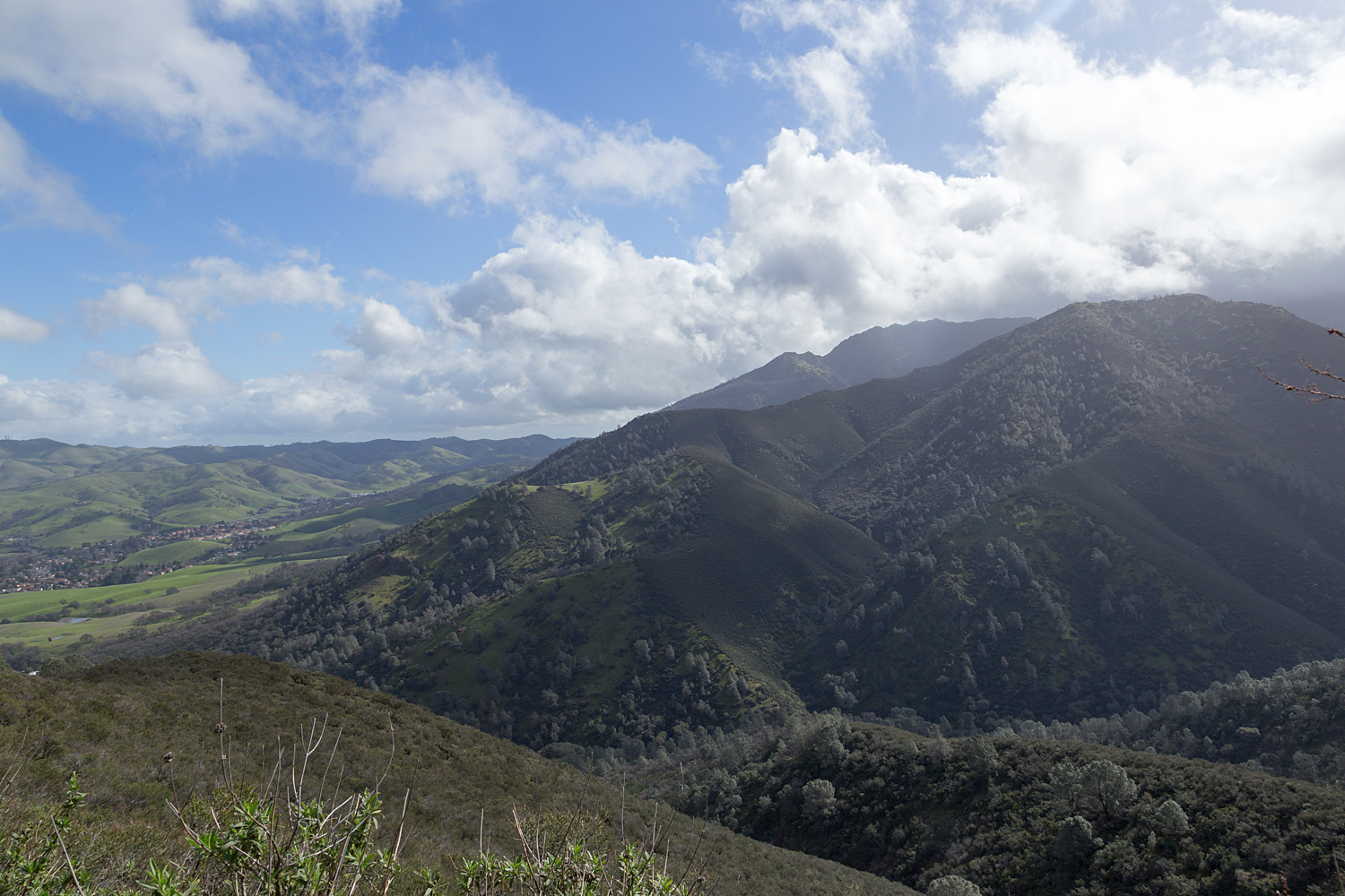
Scenes from Route 2:

2 mount diablo state park black point 2-2.jpg
2 mount diablo state park black point 2-3.jpg
2 mount diablo state park black point 2-4.jpg
2 mount diablo state park black point 2-5.jpg
2 mount diablo state park black point 2-6.jpg
2 mount diablo state park black point 2-7.jpg
2 mount diablo state park black point 2-8.jpg
2 mount diablo state park black point 2-9.jpg
2 mount diablo state park black point 2-10.jpg
2 mount diablo state park black point 2-11.jpg
2 mount diablo state park black point 2-12.jpg
2 mount diablo state park black point 2-13.jpg
2 mount diablo state park black point 2-14.jpg
2 mount diablo state park black point 2-15.jpg
2 mount diablo state park black point 2-16.jpg
2 mount diablo state park black point 2-17.jpg
2 mount diablo state park black point 2-18.jpg
2 mount diablo state park black point 2-19.jpg
2 mount diablo state park black point 2-20.jpg
2 mount diablo state park black point 2-21.jpg
2 mount diablo state park black point 2-22.jpg
2 mount diablo state park black point 2-23.jpg
2 mount diablo state park black point 2.jpg
2 mount diablo state park black point 2-2.jpg 2 mount diablo state park black point 2-3.jpg 2 mount diablo state park black point 2-4.jpg 2 mount diablo state park black point 2-5.jpg 2 mount diablo state park black point 2-6.jpg 2 mount diablo state park black point 2-7.jpg 2 mount diablo state park black point 2-8.jpg 2 mount diablo state park black point 2-9.jpg 2 mount diablo state park black point 2-10.jpg 2 mount diablo state park black point 2-11.jpg 2 mount diablo state park black point 2-12.jpg 2 mount diablo state park black point 2-13.jpg 2 mount diablo state park black point 2-14.jpg 2 mount diablo state park black point 2-15.jpg 2 mount diablo state park black point 2-16.jpg 2 mount diablo state park black point 2-17.jpg 2 mount diablo state park black point 2-18.jpg 2 mount diablo state park black point 2-19.jpg 2 mount diablo state park black point 2-20.jpg 2 mount diablo state park black point 2-21.jpg 2 mount diablo state park black point 2-22.jpg 2 mount diablo state park black point 2-23.jpg 2 mount diablo state park black point 2.jpg

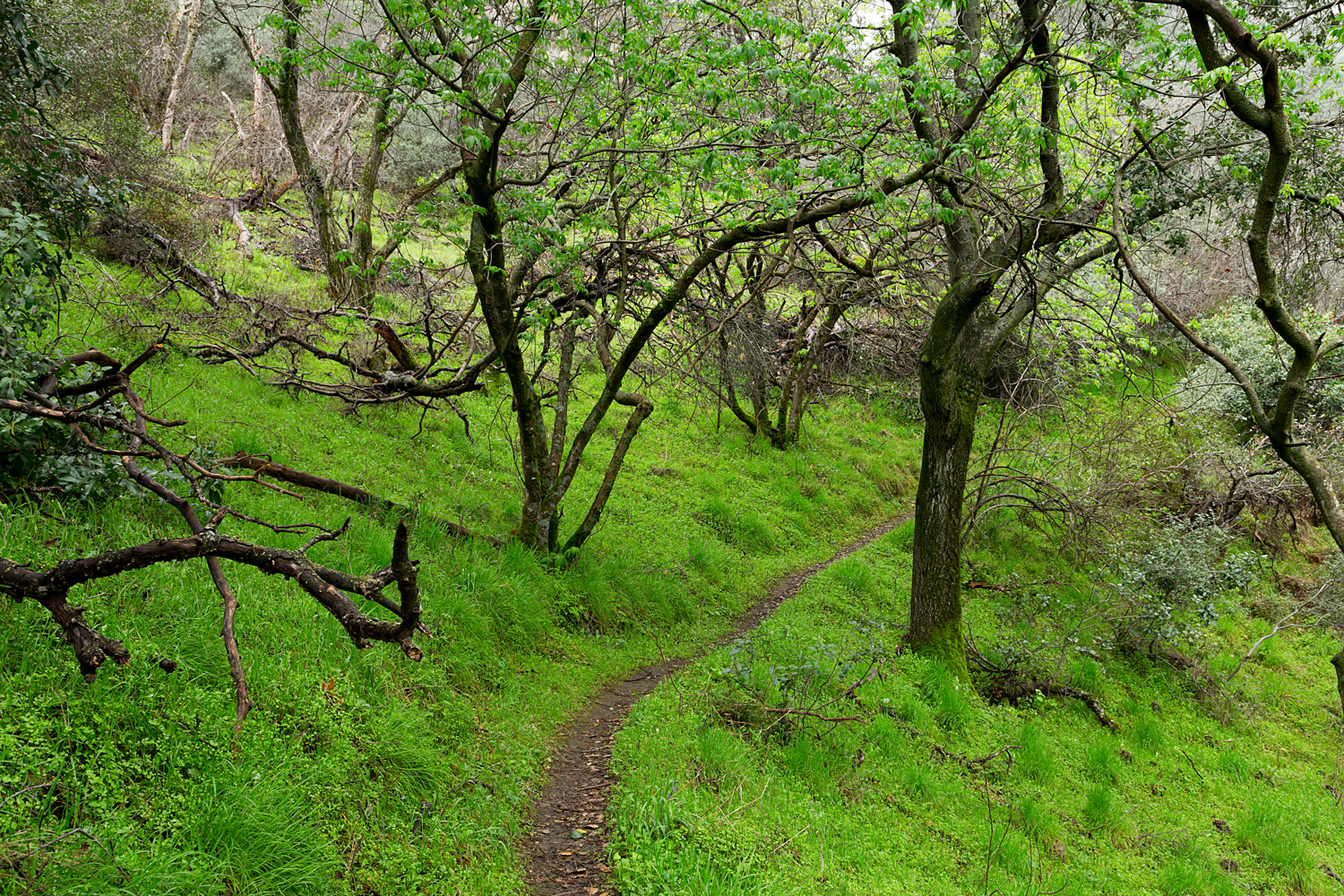
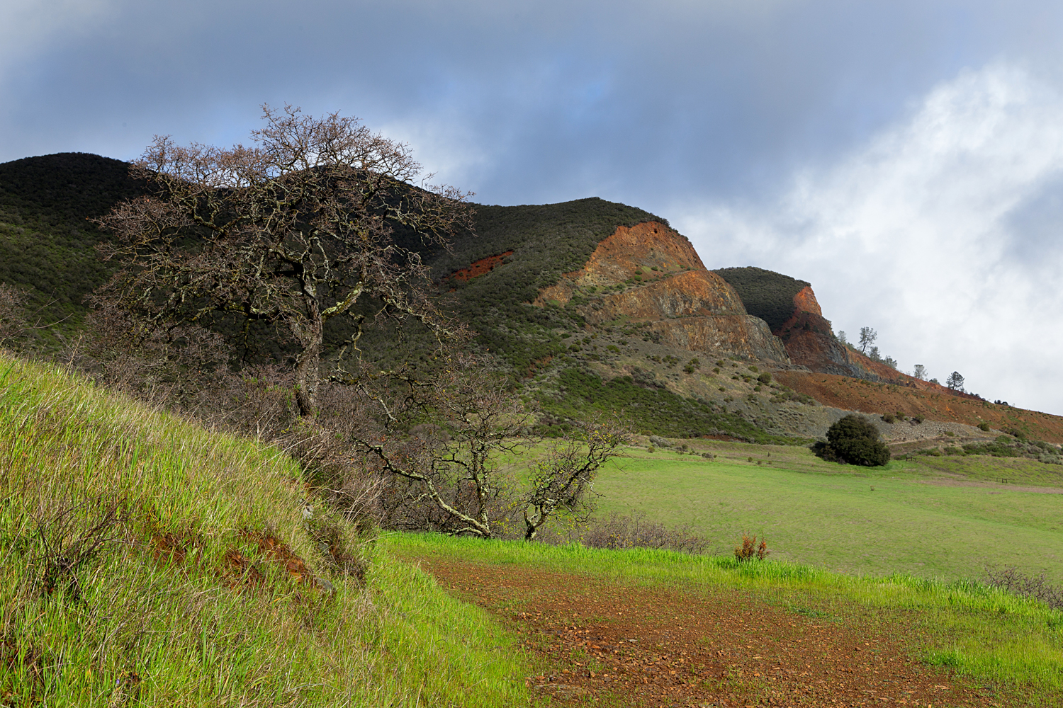
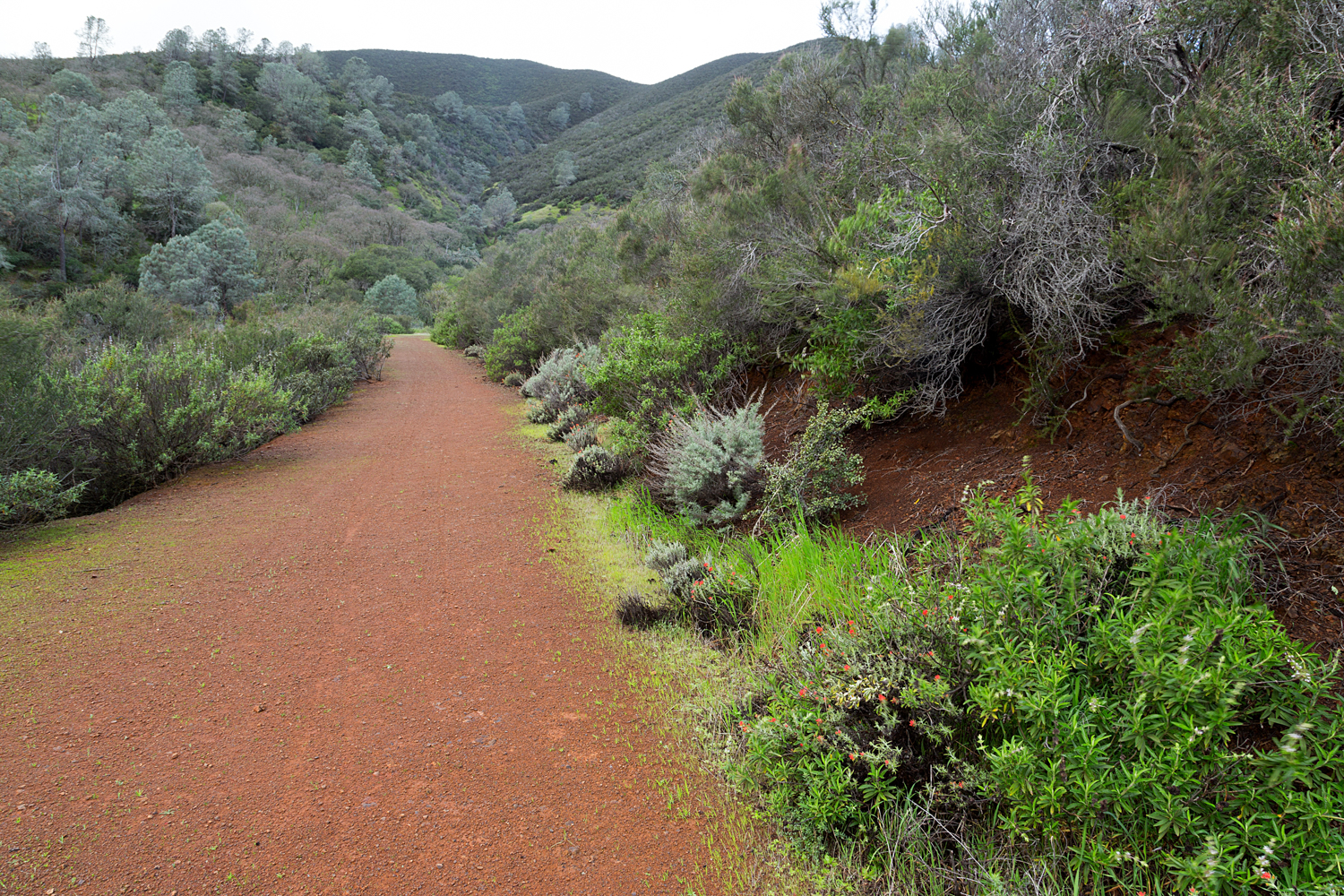
Route 2:  From the Mitchell Canyon Visitor Center, follow Mitchell Canyon Road to Black Point Trail, and turn Right on to Black Point Trail. Climb and turn left on to Black Point Summit Trail for the short climb to the top of Black Point. Climb down from the peak and continue Left on to Black Point Trail. Follow Black Point Trail down to Red Road, and go Left. Continue on Red Road to Mitchell Canyon Road, and turn Left. Follow Mitchell Canyon Road back to the visitor center. (Hiked February 16, 2017)

  • Mileage: 5.53 Miles, 1115 feet elevation gain
  • Difficulty Level: Moderate
2 mount diablo state park black point 2-5.jpg

Black Point Loop

Mount Diablo State Park, February 16, 2017

Full Image Gallery

Trailhead and Parking:

 
Prev / Next