Dipsea Trail - Mt. Tamalpais State Park

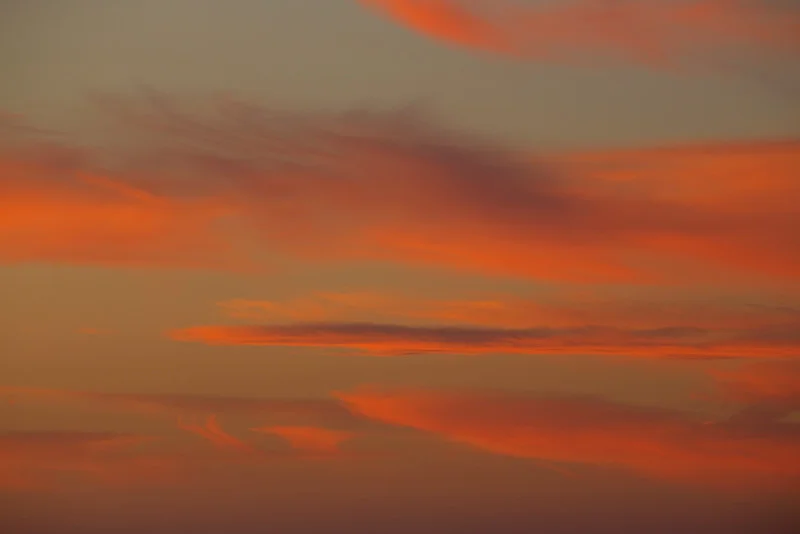
Most people who have hiked or run trails in Northern California have heard of the Dipsea Race. This challenging 7.4 mile race starts in Mill Valley, and ends at Stinson Beach. One of the nicest sections of the race is the Dipsea Trail, between Panoramic Highway and Cardiac Hill. The route of the race passes through Cardiac Hill, and down the Dipsea to Stinson Beach. A few weeks ago, I hiked and photographed this section, starting from the trailhead at the corner of Panoramic Highway and Highway 1. This hike offers a rich and stunning canopy, dramatic views of the ocean, and full on cardio and muscular endurance training. 

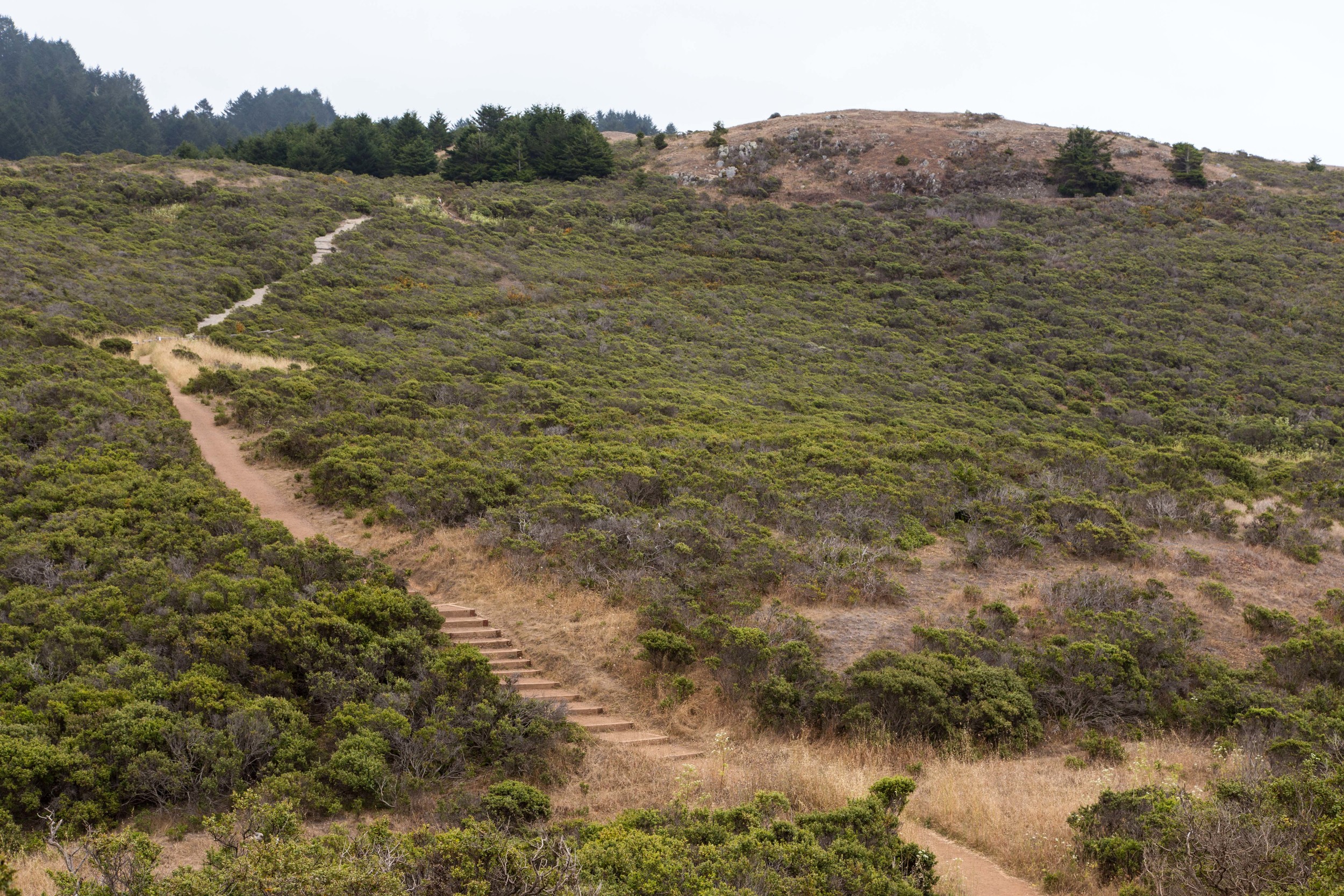
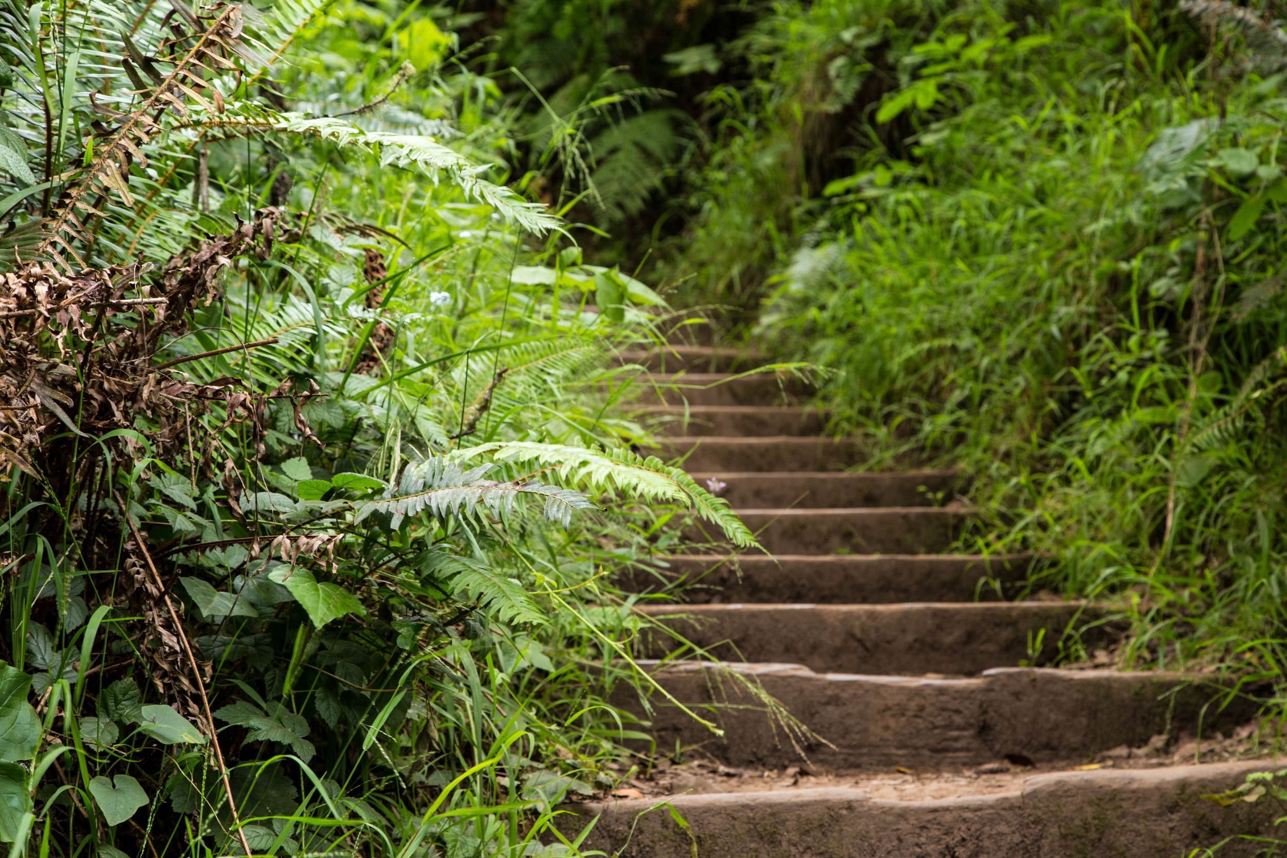
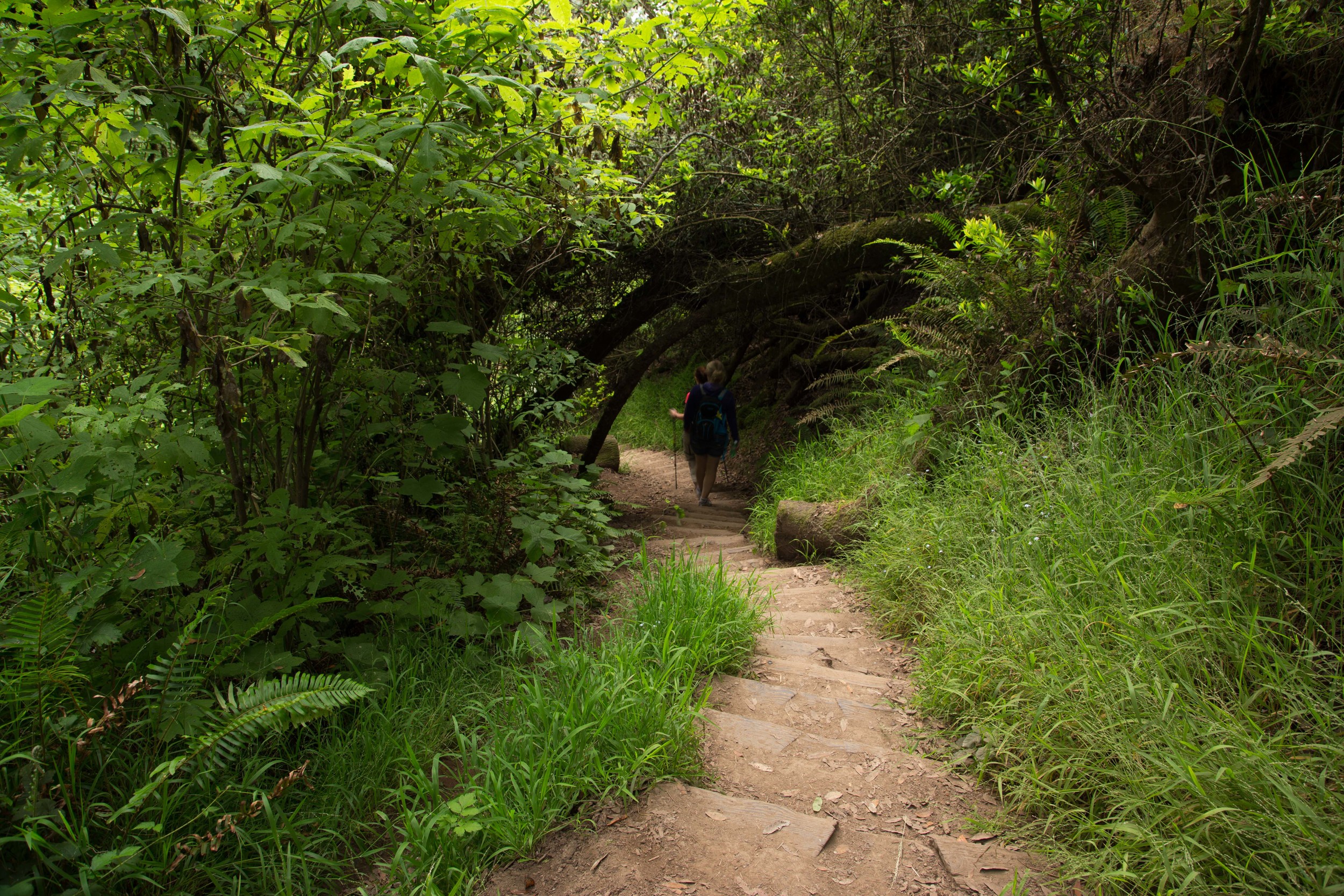
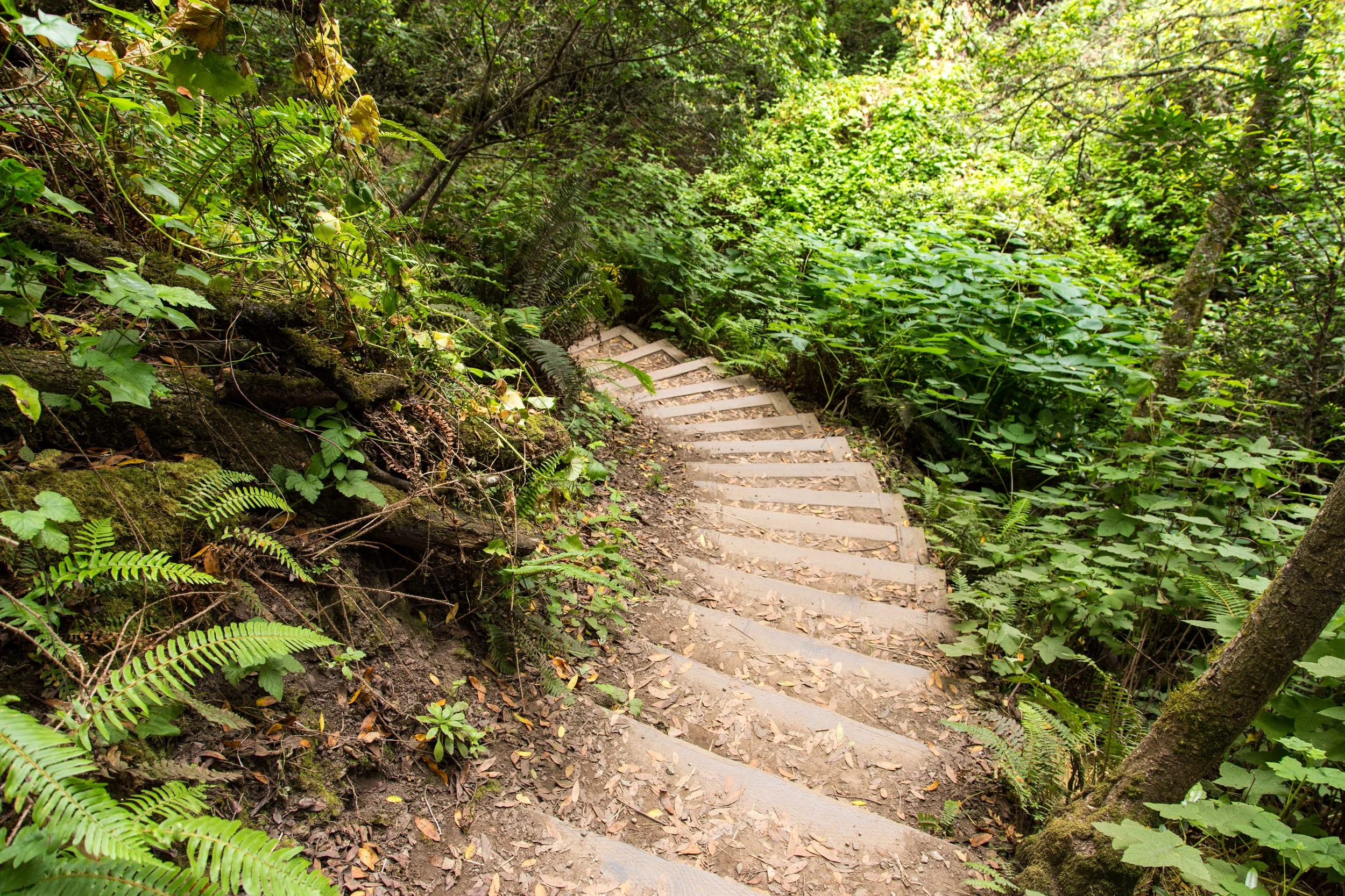
Climbing stairs is a big part of this hike!

Just at the intersection of Panoramic Highway and Highway 1 is a tiny and treacherous little parking lot that eats cars with low clearance.  Park here at your own risk, or drive another quarter mile below to Stinson Beach, where the parking lots often fill up early.  Just across the street from the intersection of Panoramic Highway and Highway 1,  you'll see this sign, which starts the hike. 

Starting the trek to Cardiac Hill

This hike is a climb that will challenge you, especially if approached at a fast pace. This makes it ideal for people seeking a hike that will allow them to dump their mental detritus while their brain fills with the beauty of the forest and the pain in their legs. 

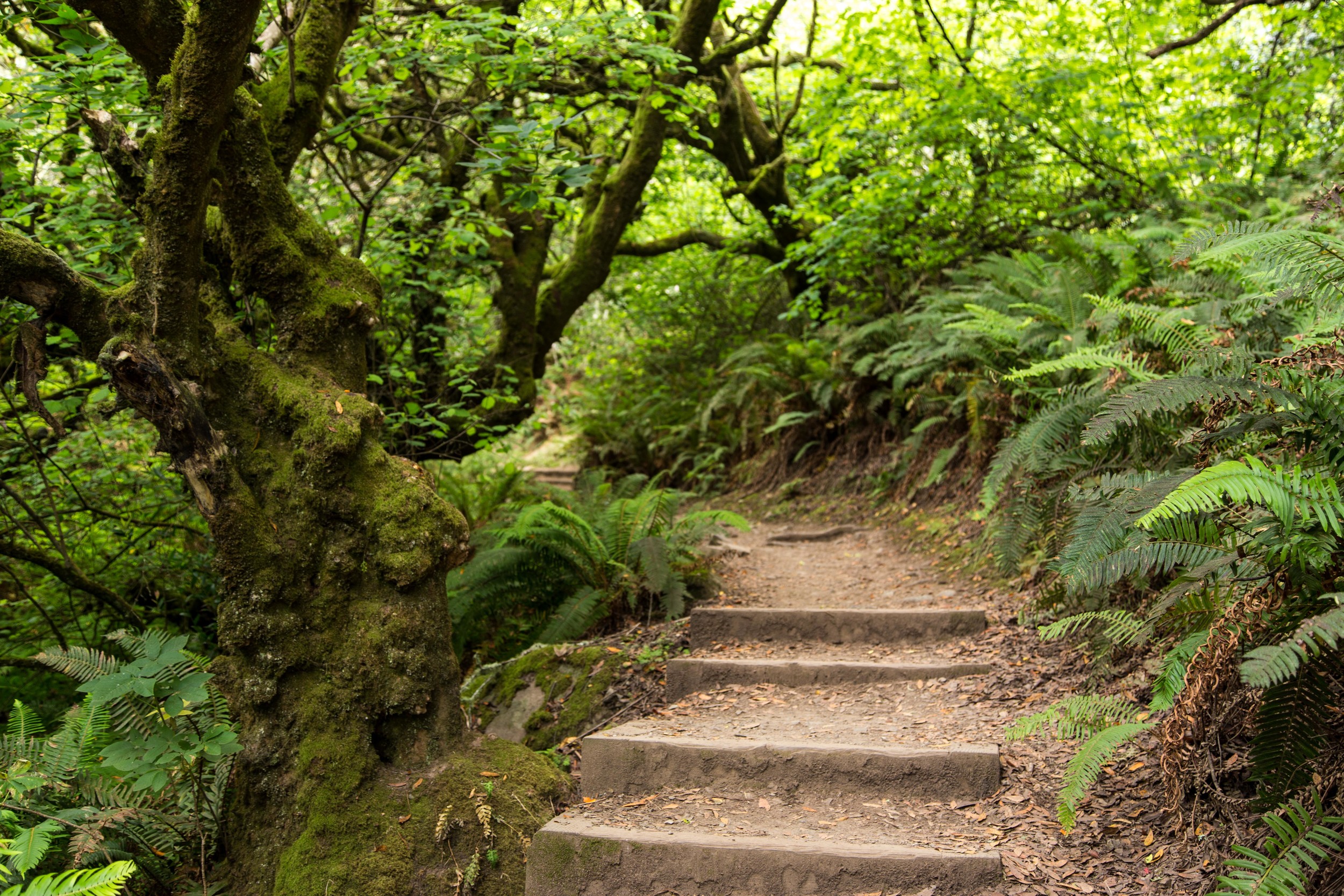
First taste of the stairs

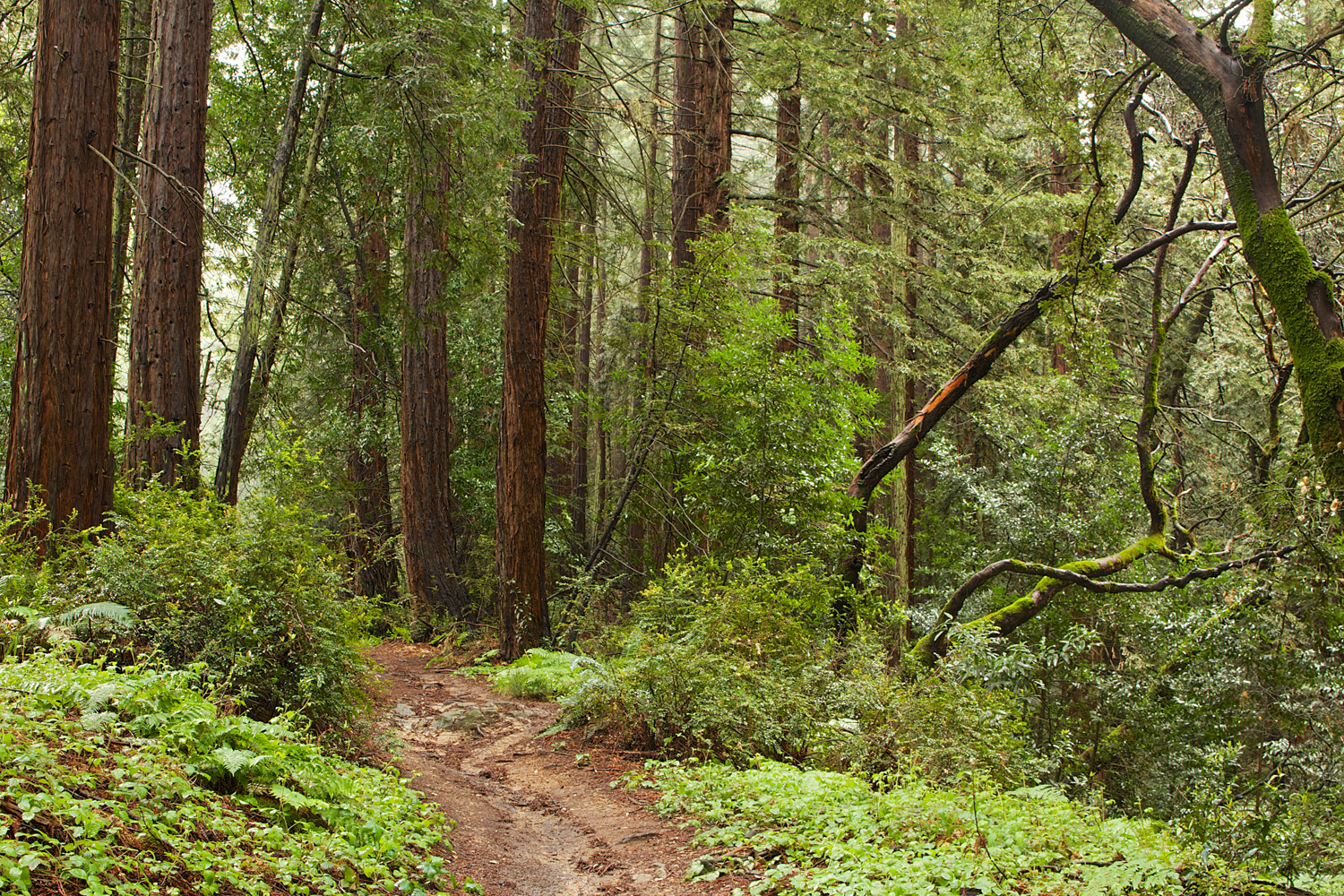
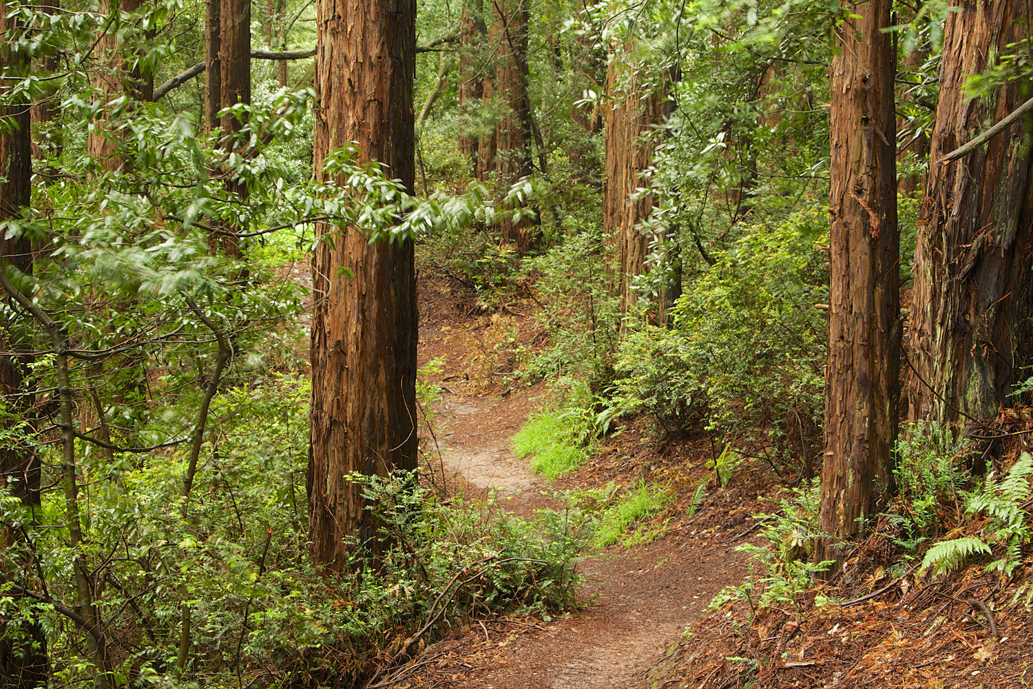
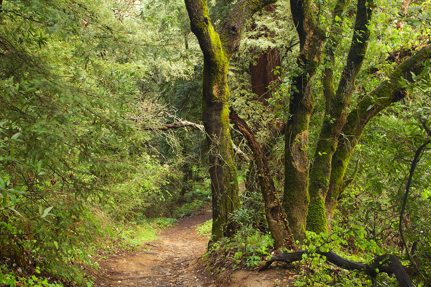
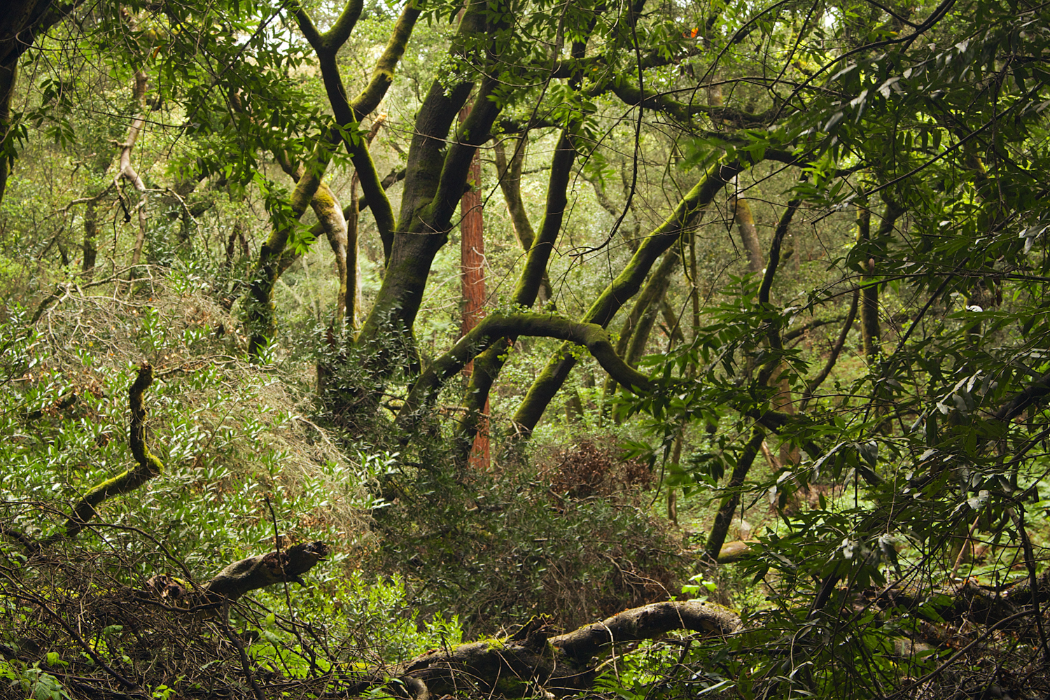
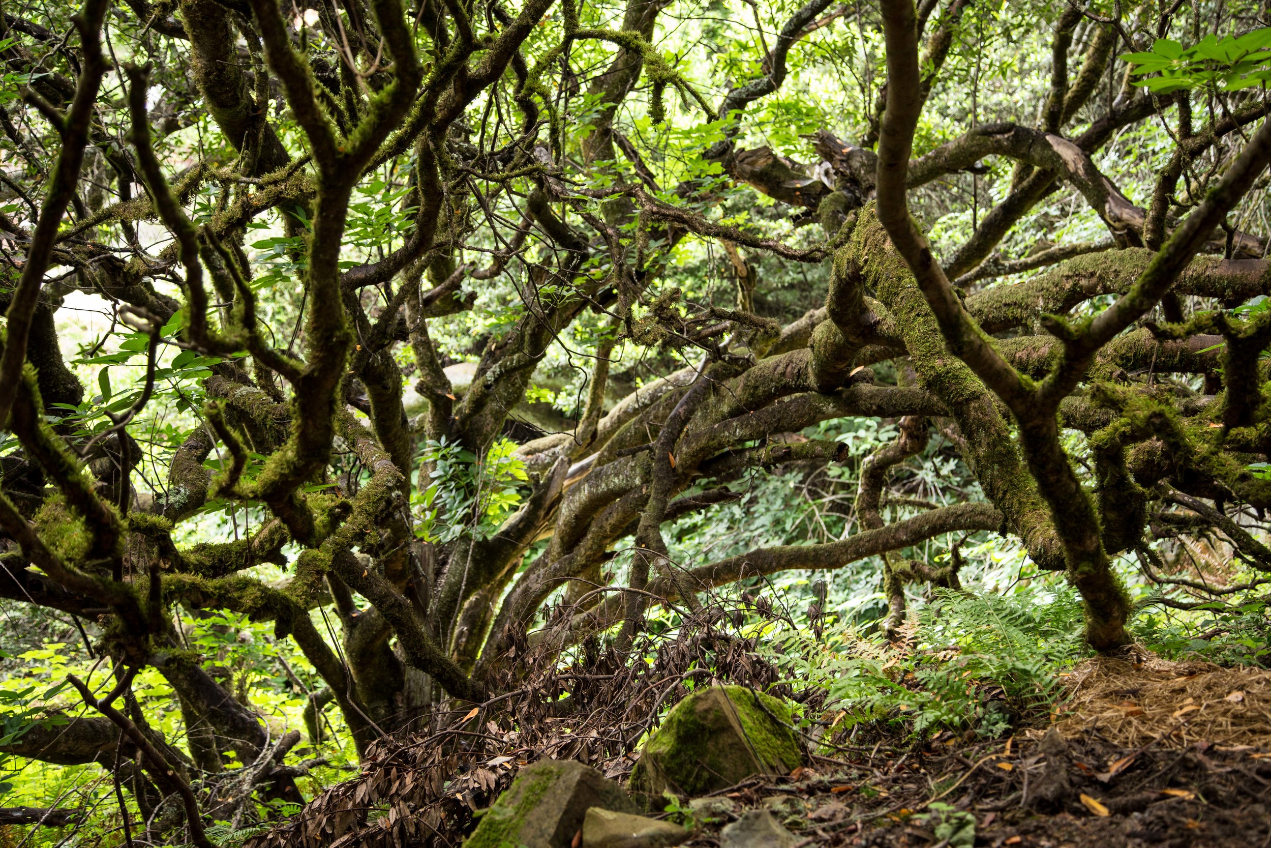
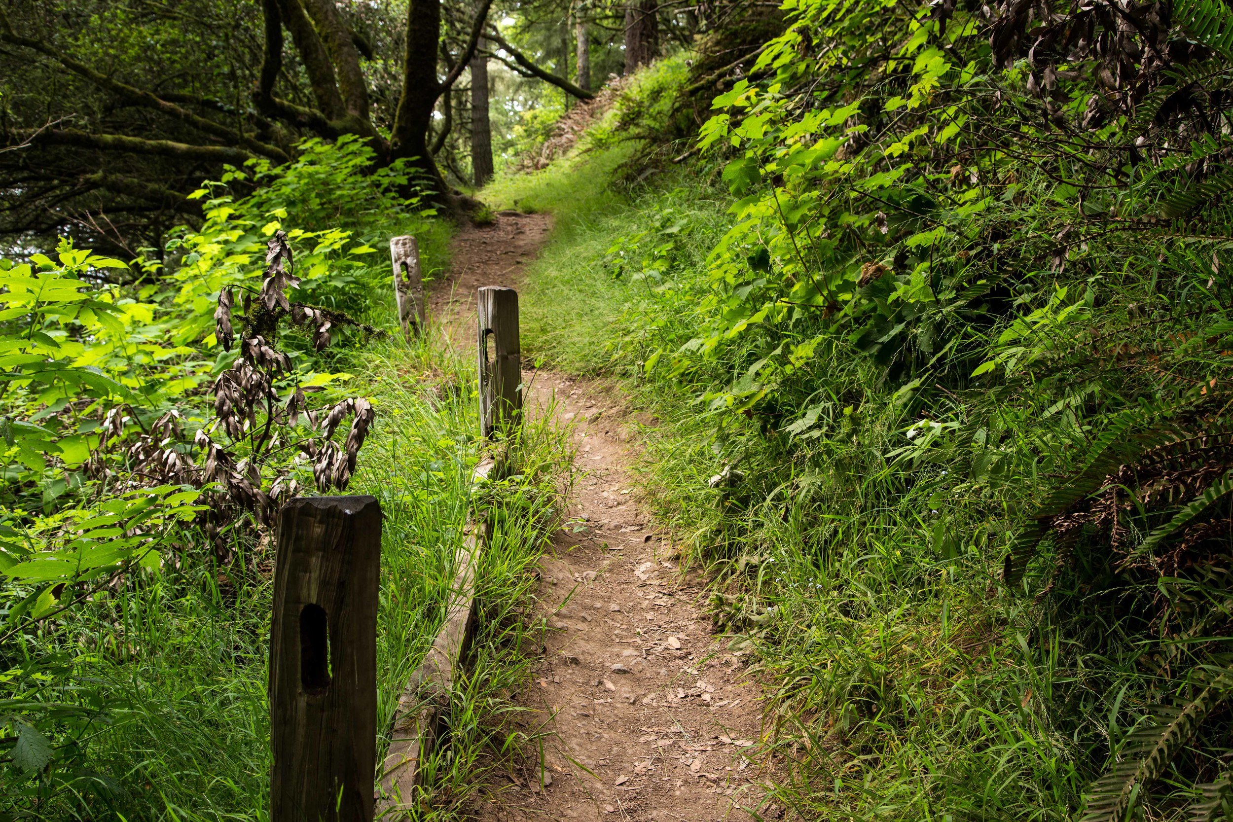
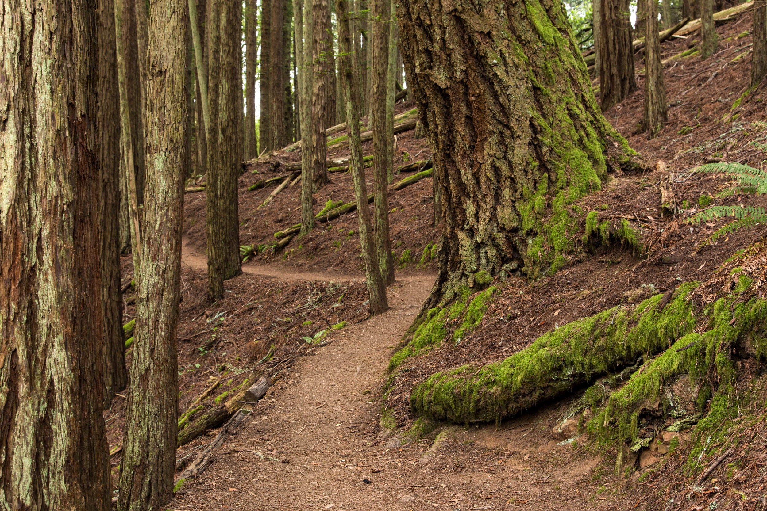
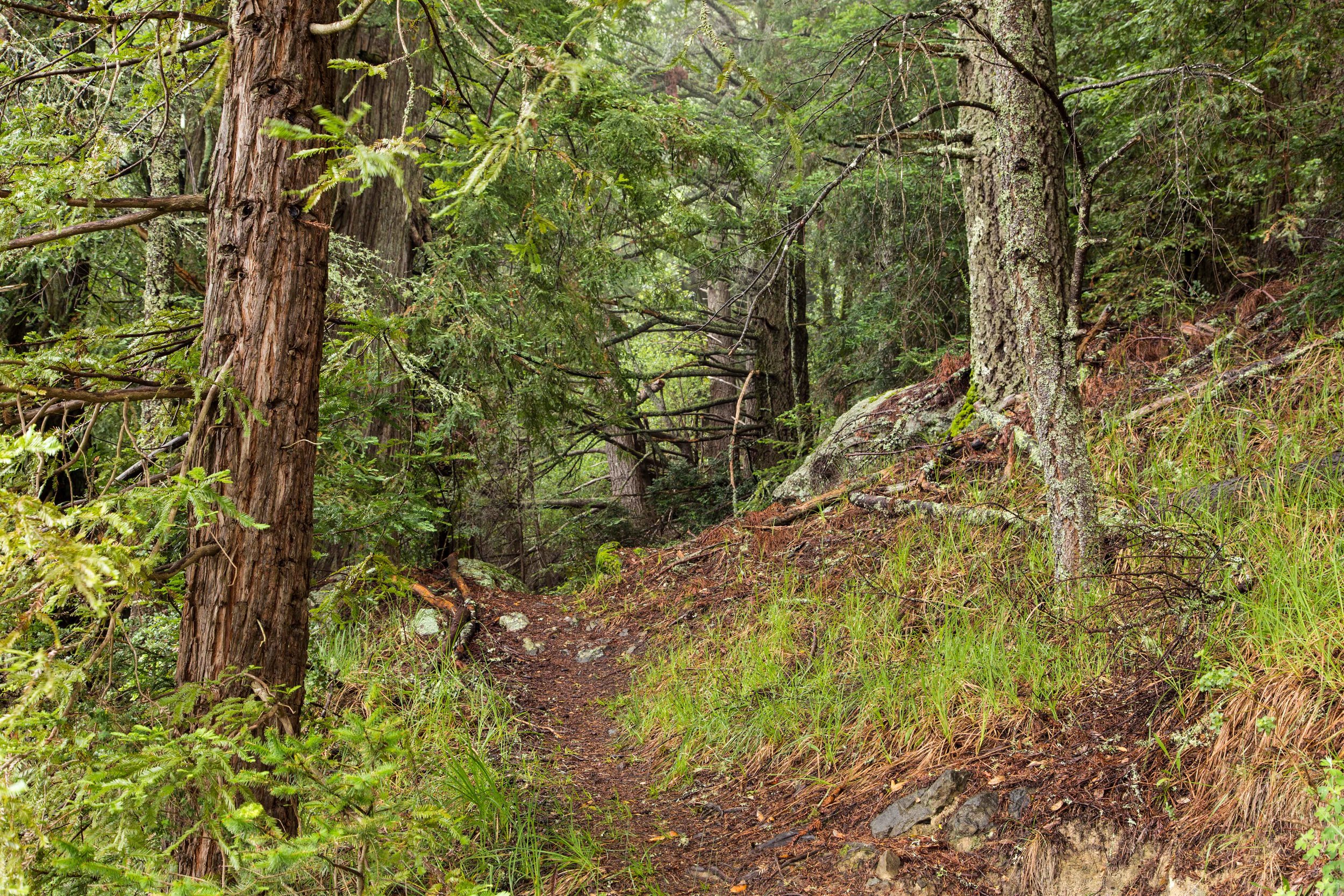
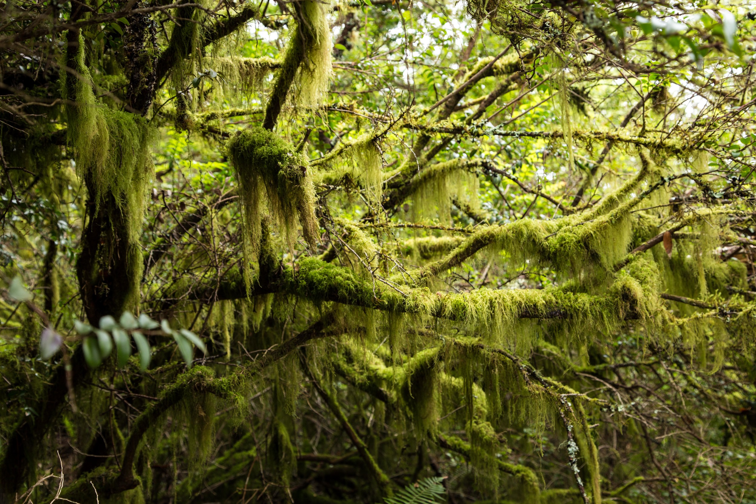
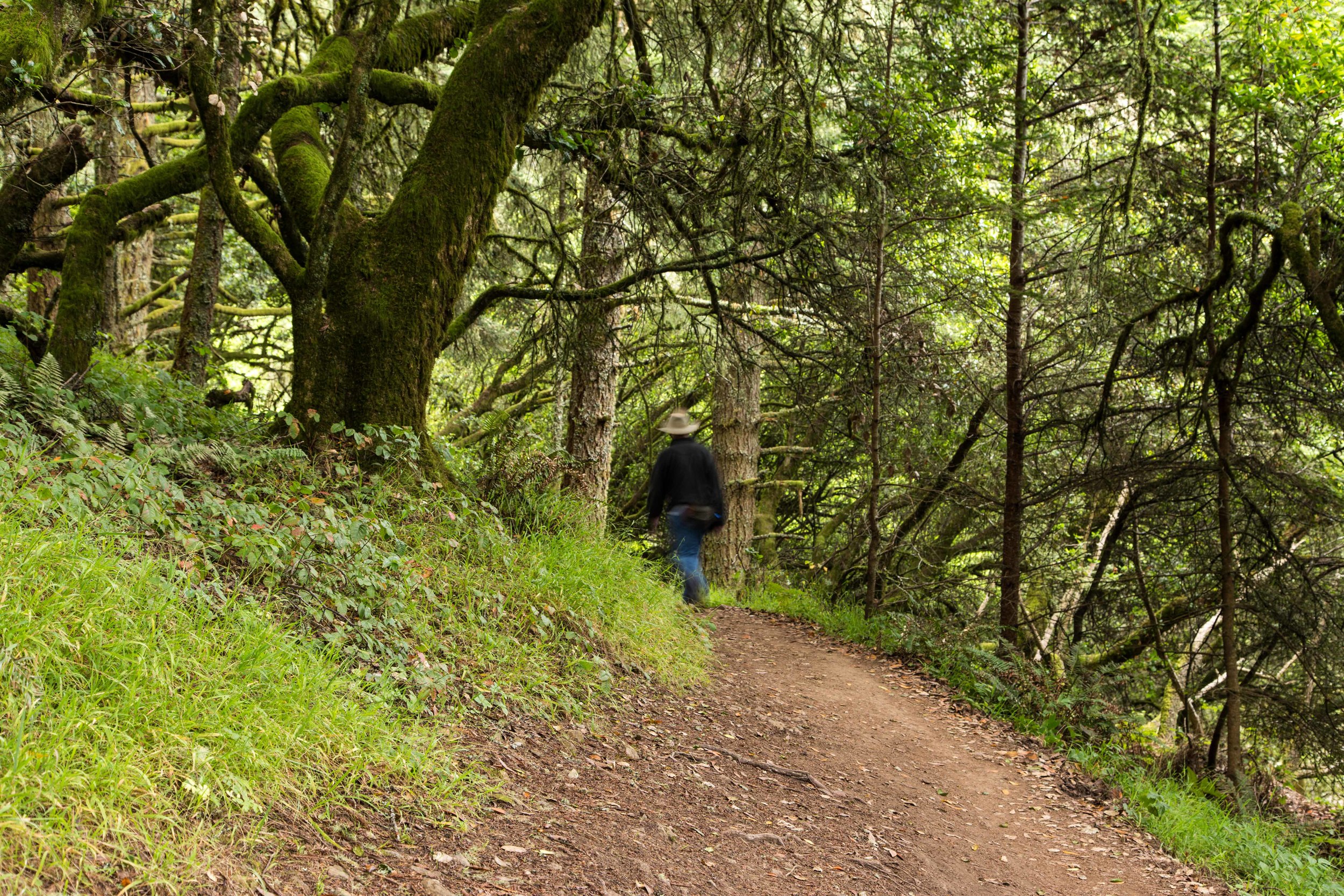
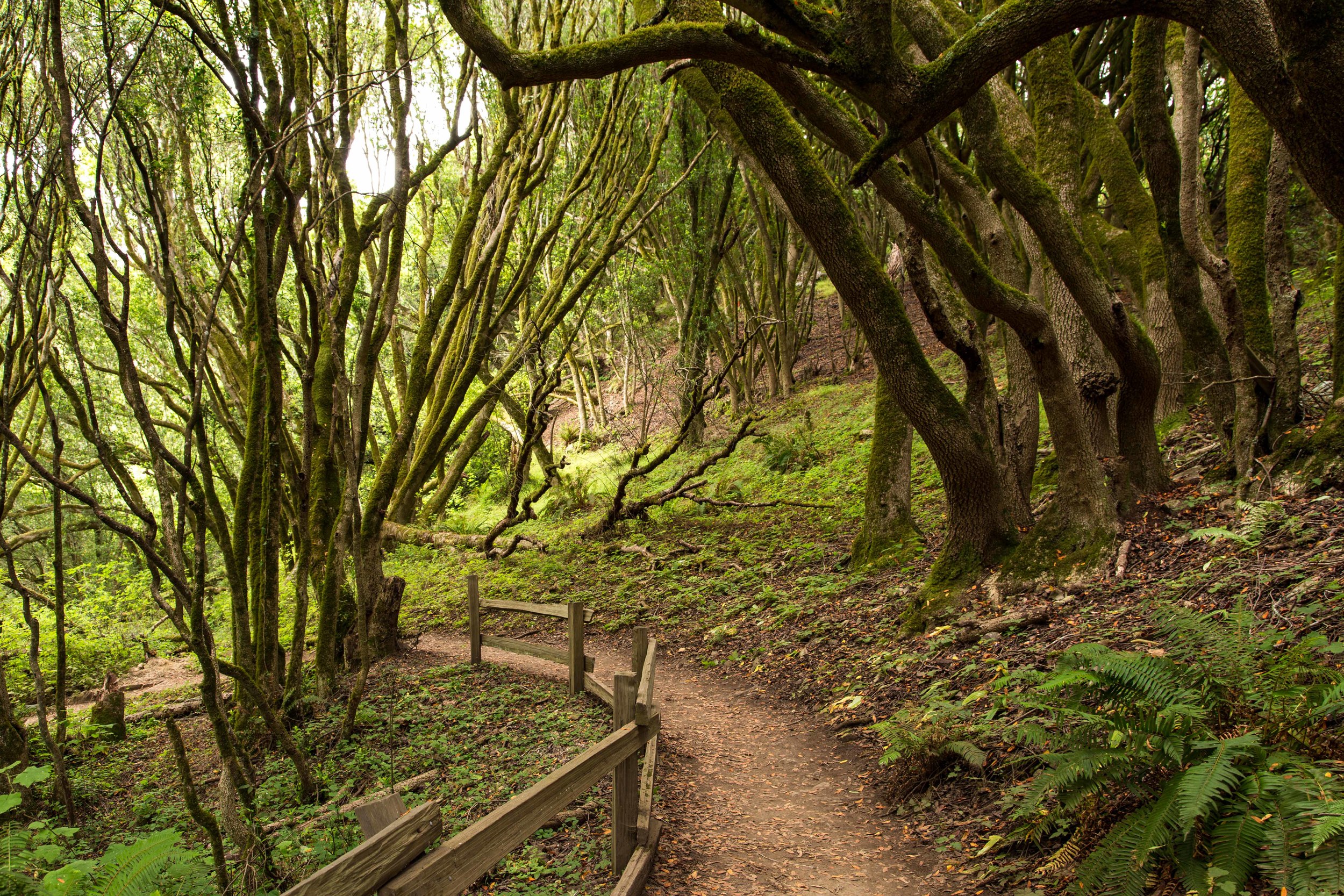
The first section of the hike begins with stairs, and climbs through a forest of tangled and twisted bays and oaks costumed with moss and lichen and posing as nature's runway models. Dusty sword ferns reach out to tickle hiker's ankles, and poison oak is weaved heavily throughout the underbrush. 

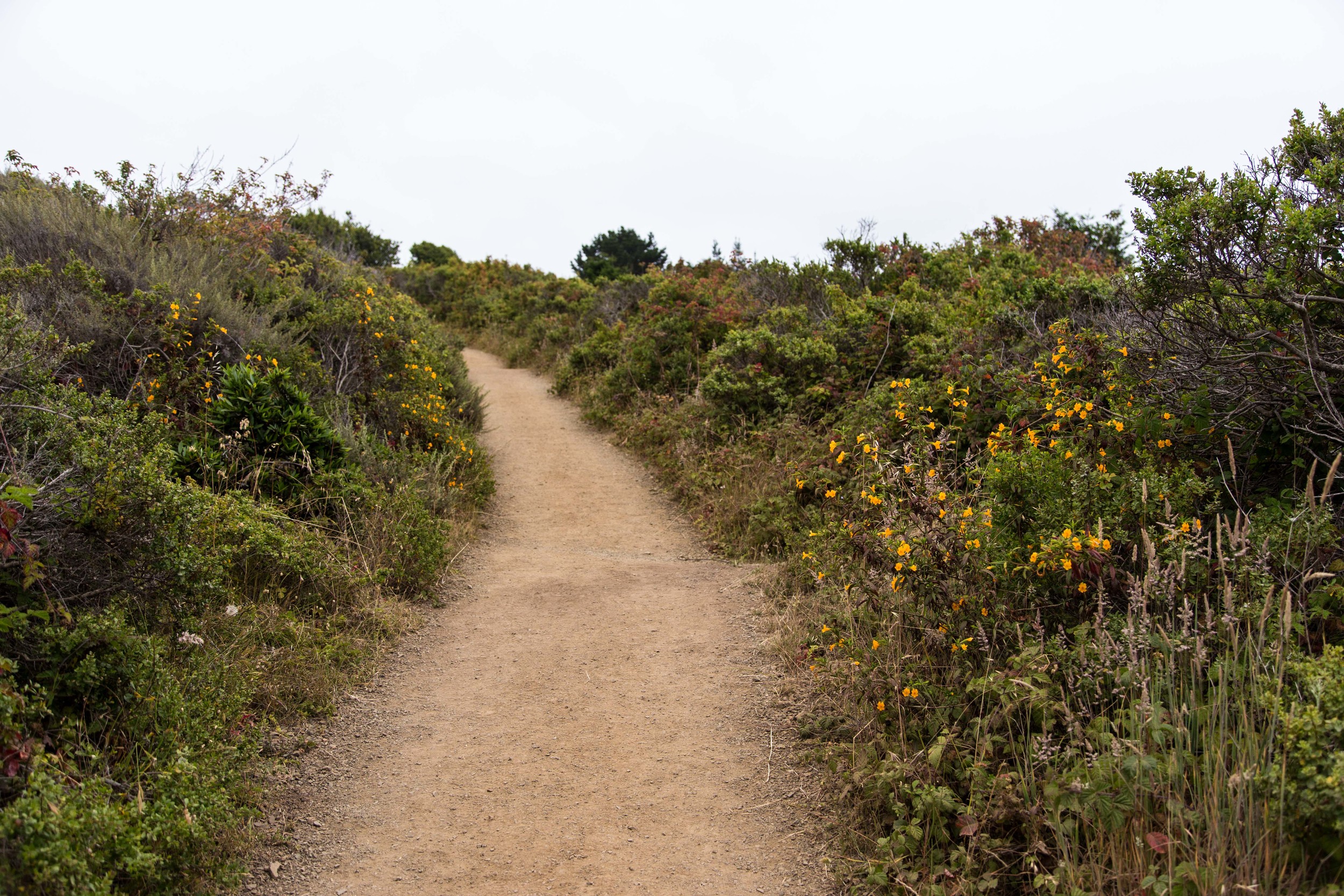
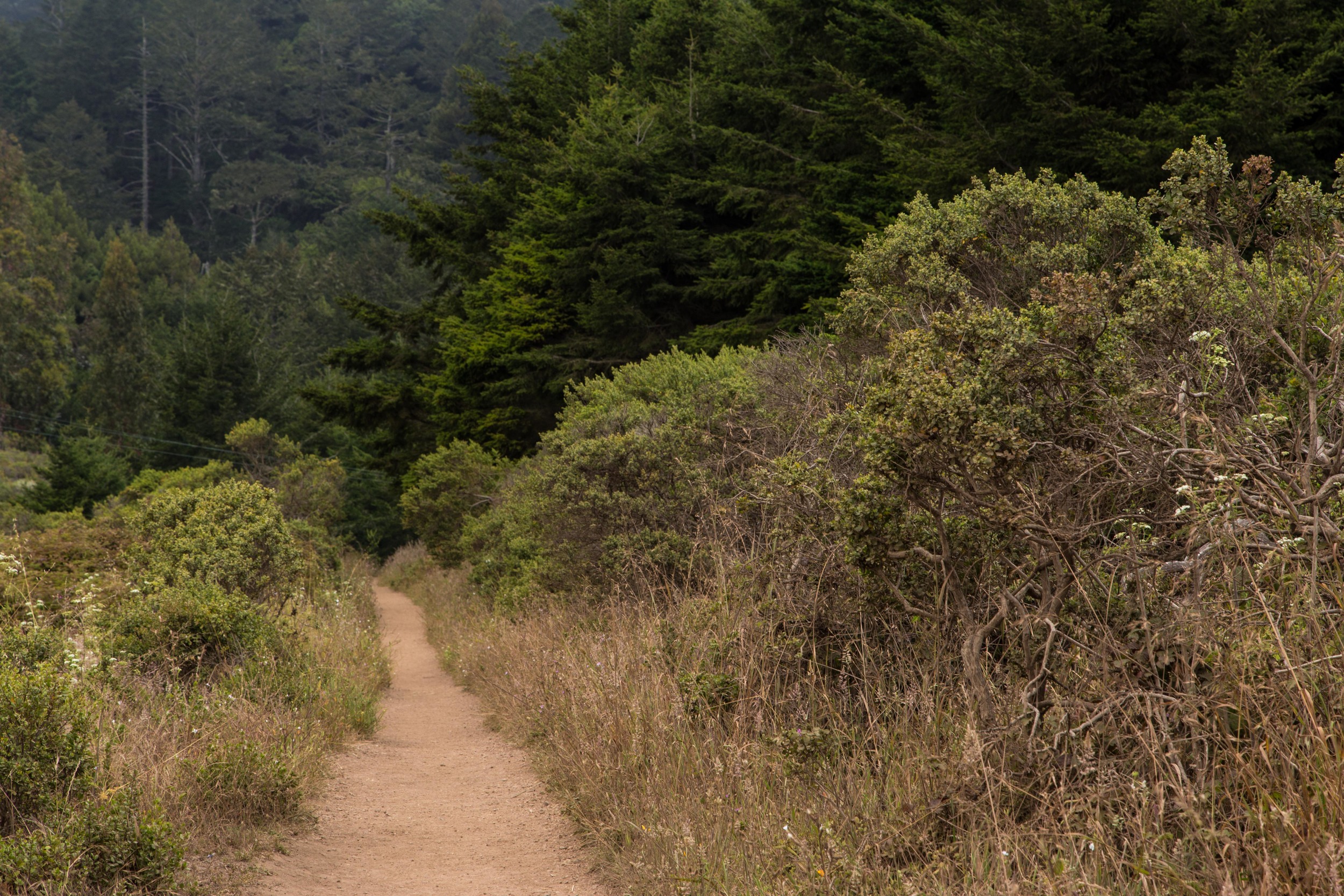
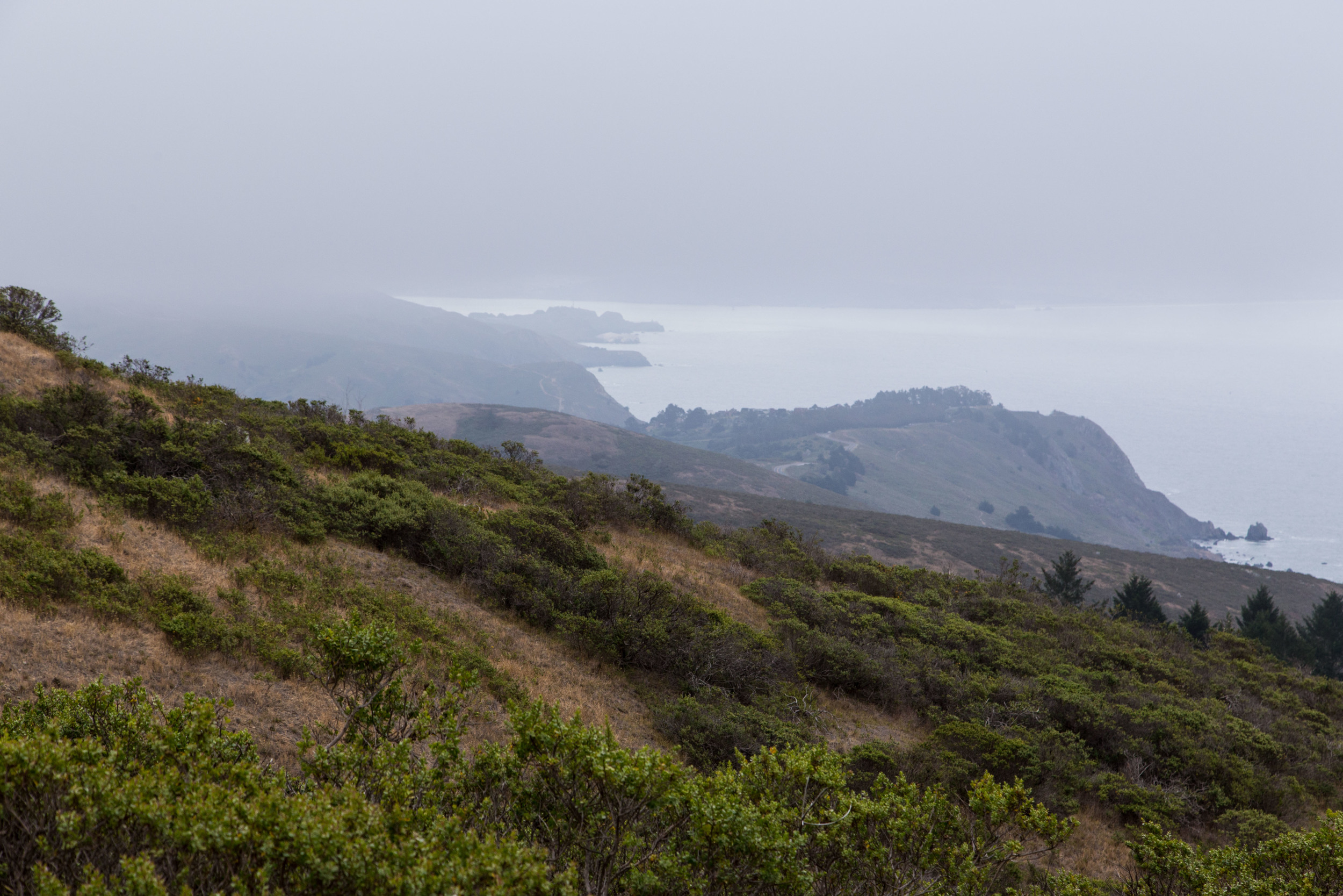
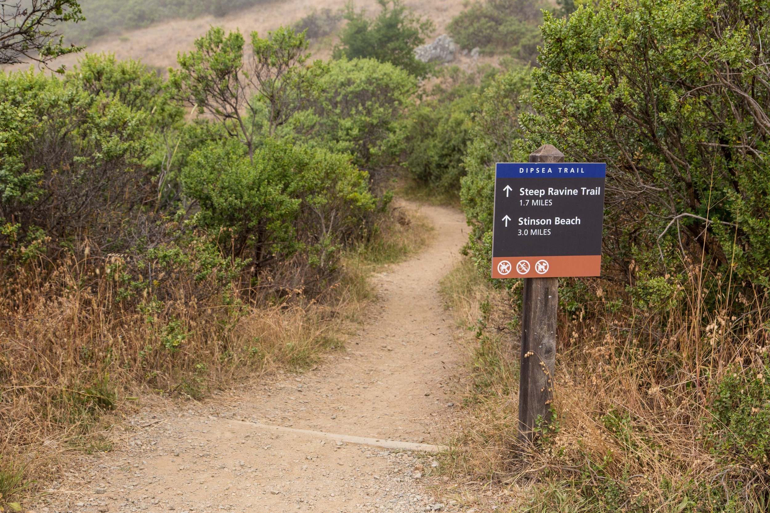
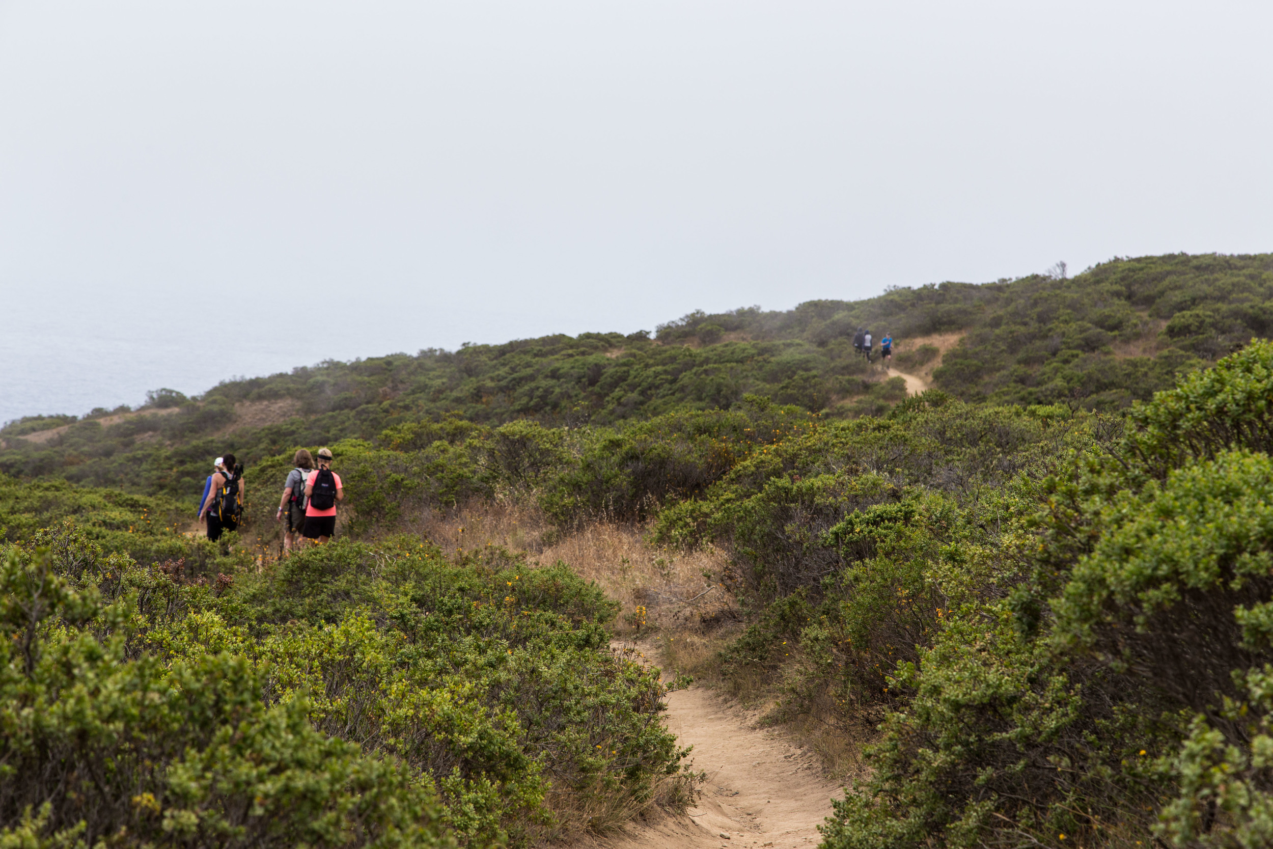
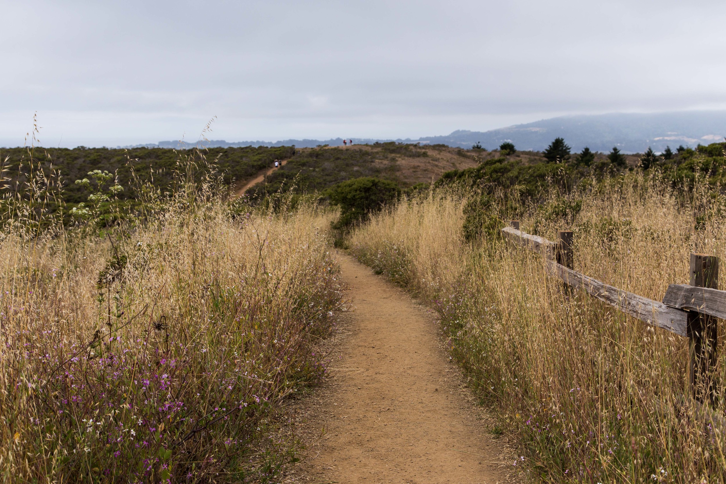
A little past a half mile in, the trail opens up, and the canopy is replaced by coastal scrub and wildflowers. The ocean mist tastes salty, and the trail widens enough for rabbits and runners to share. Clicking quail sound off along the way here, though their stealthy habits make them hard to see. Up at the split, about 1.25 miles in, stay straight and continue on the Dipsea Trail. 

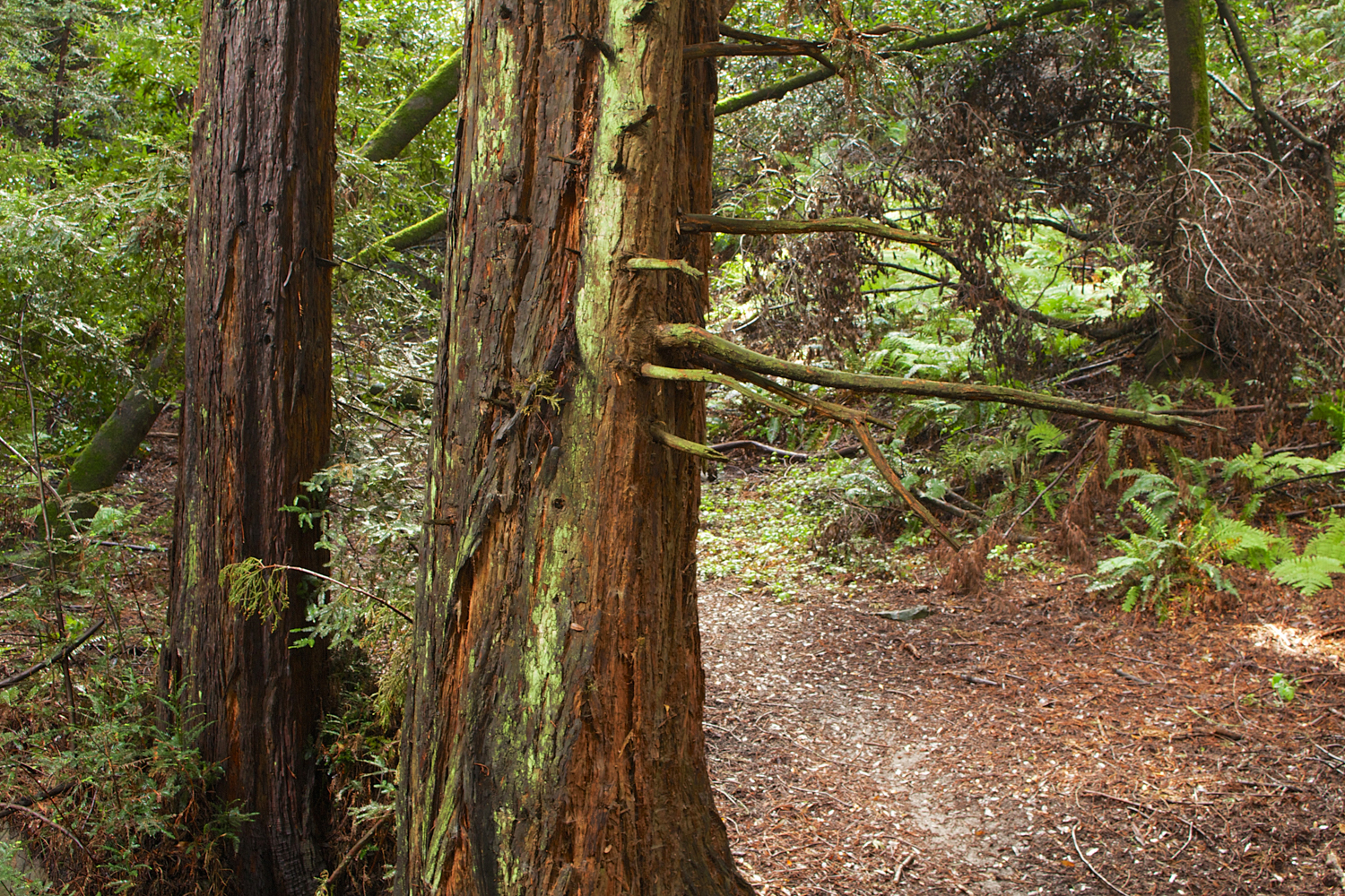
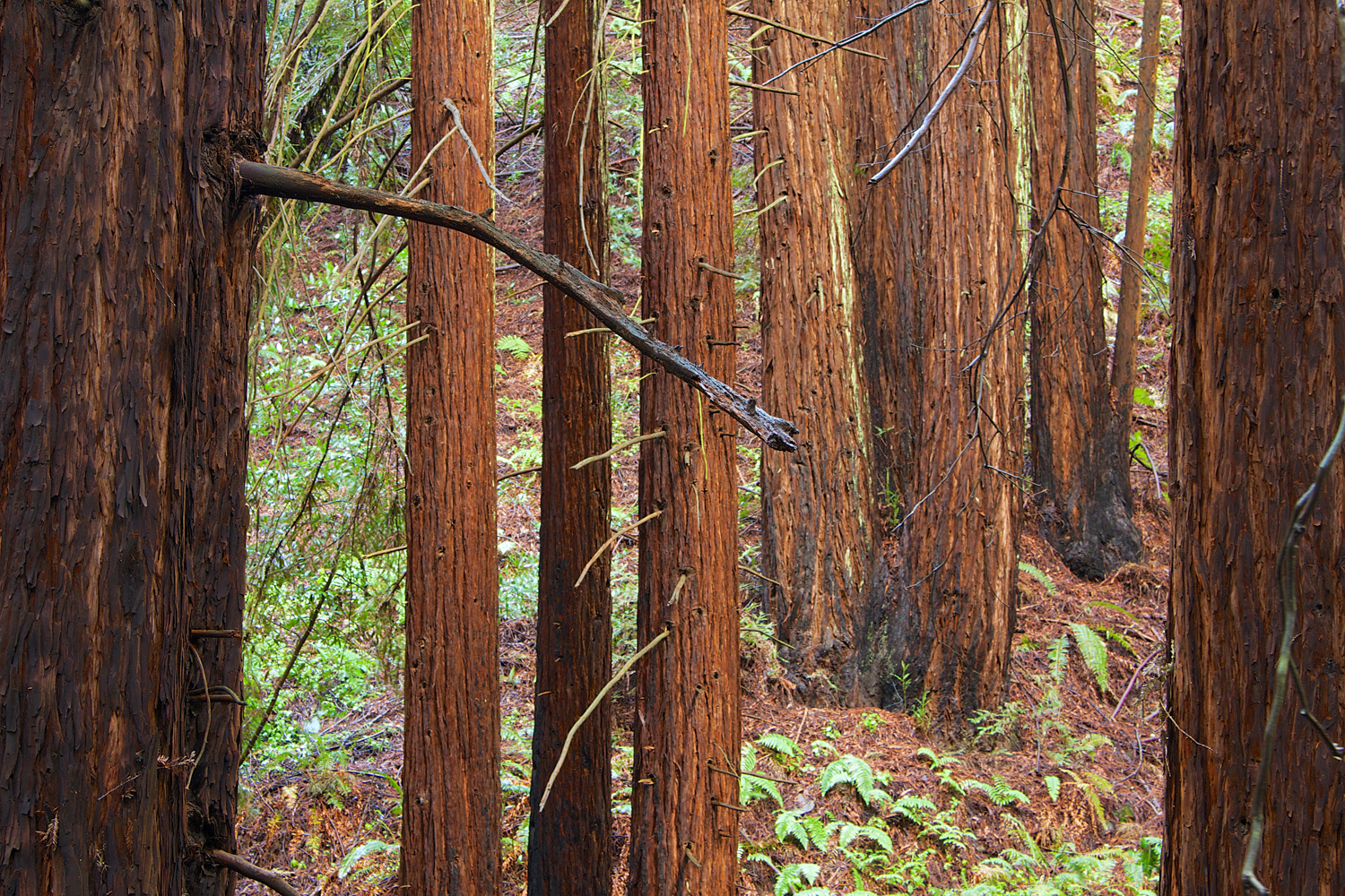
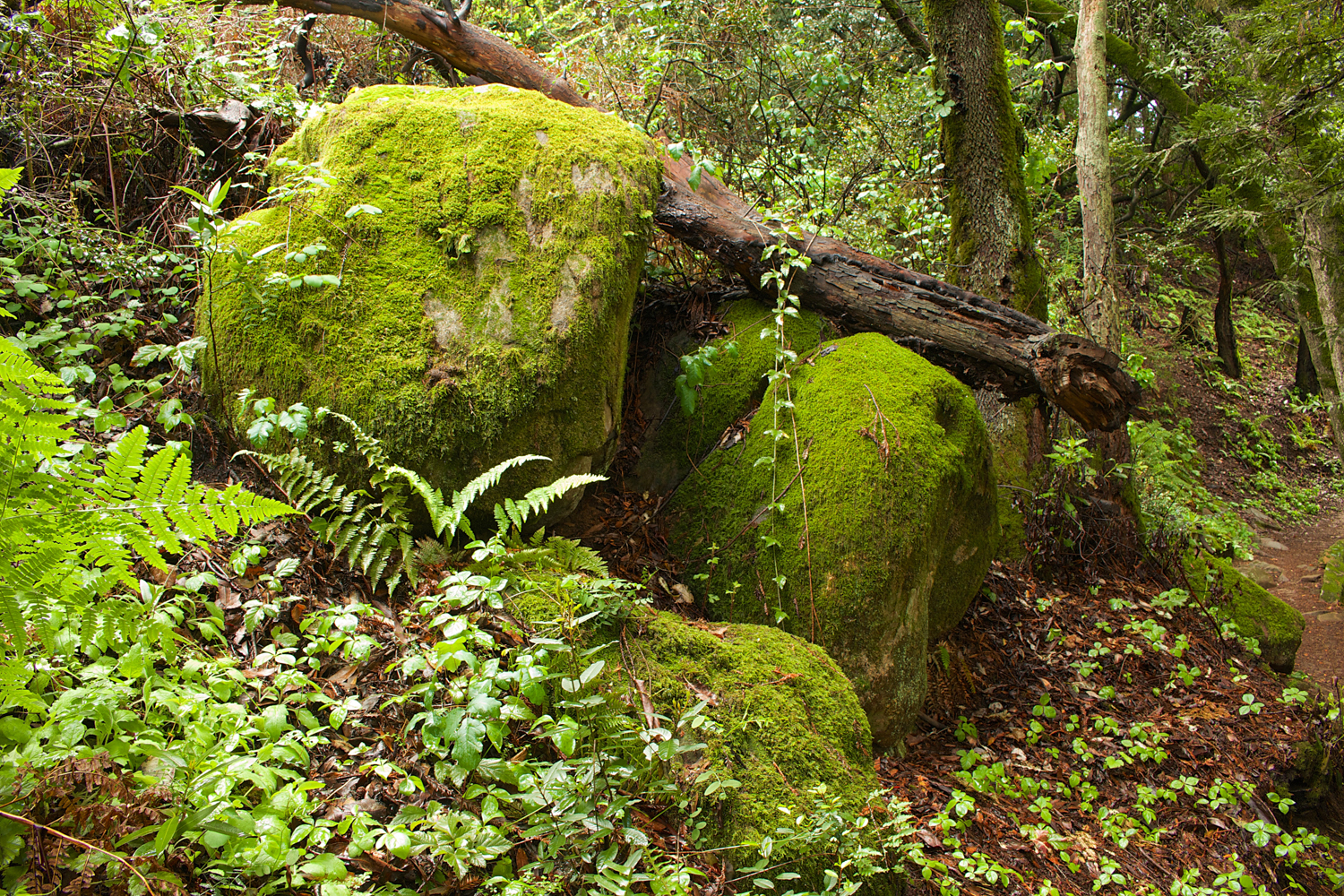
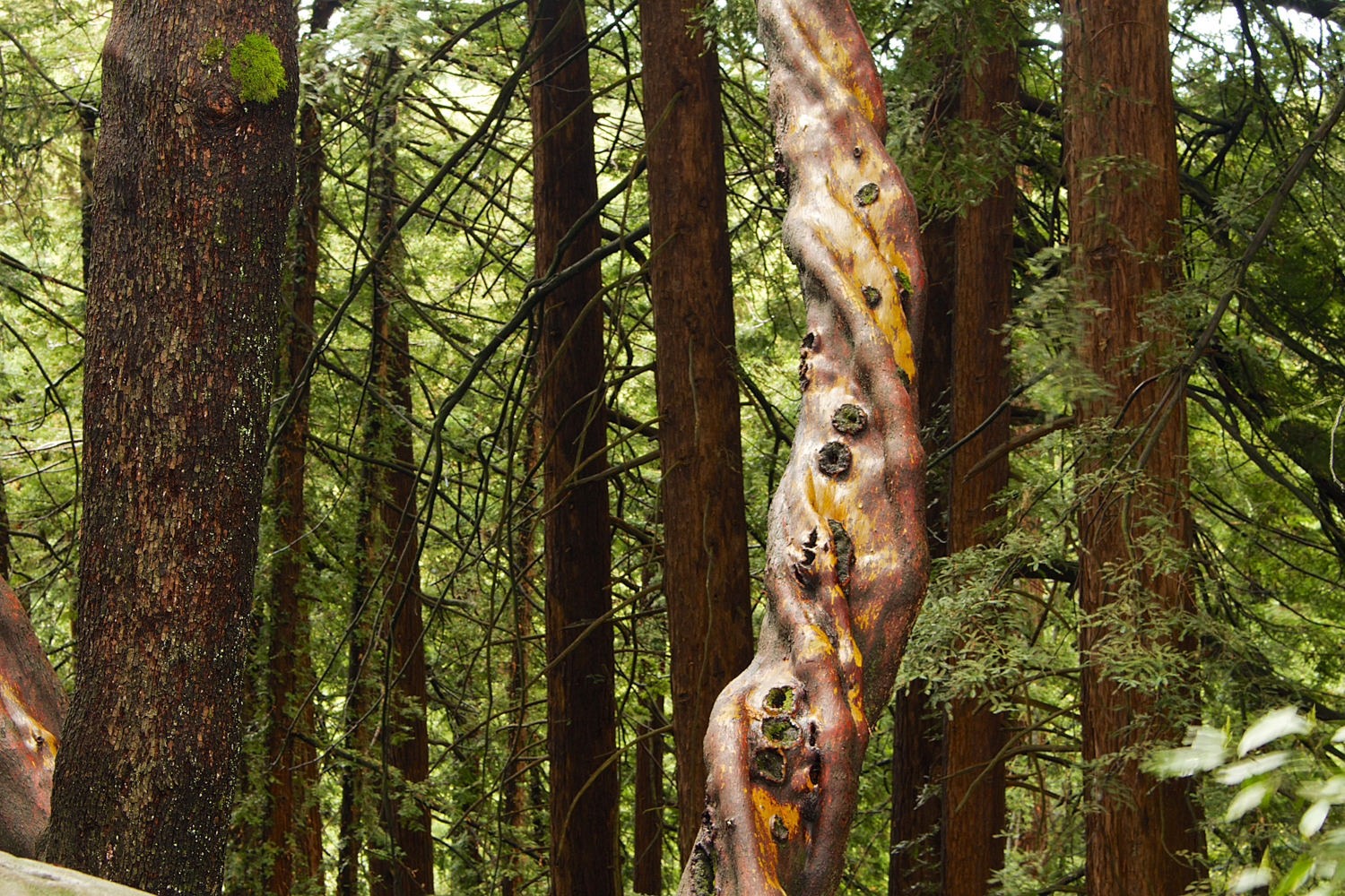
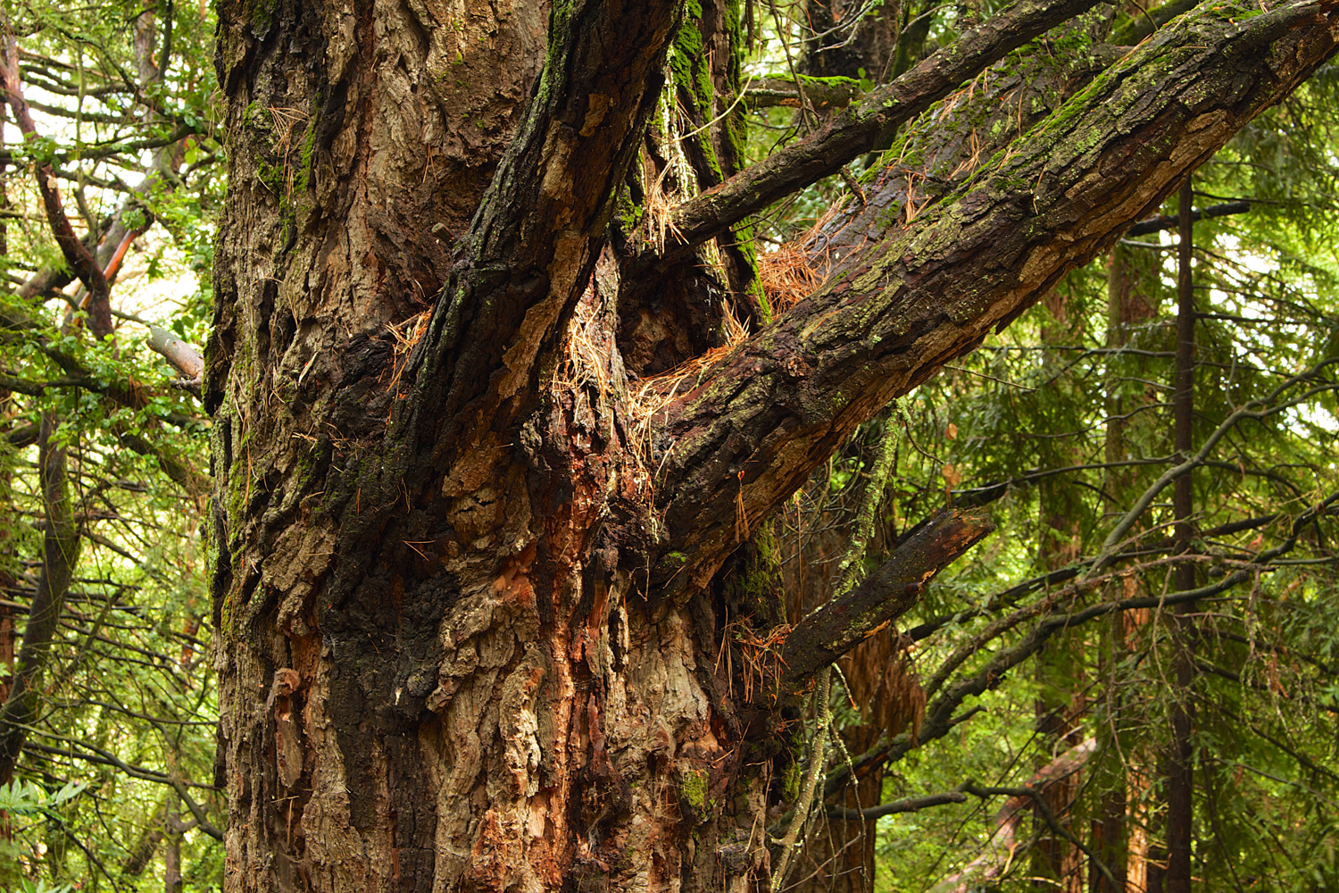
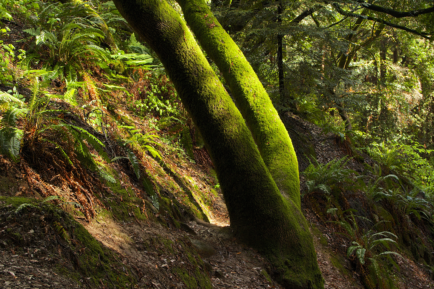
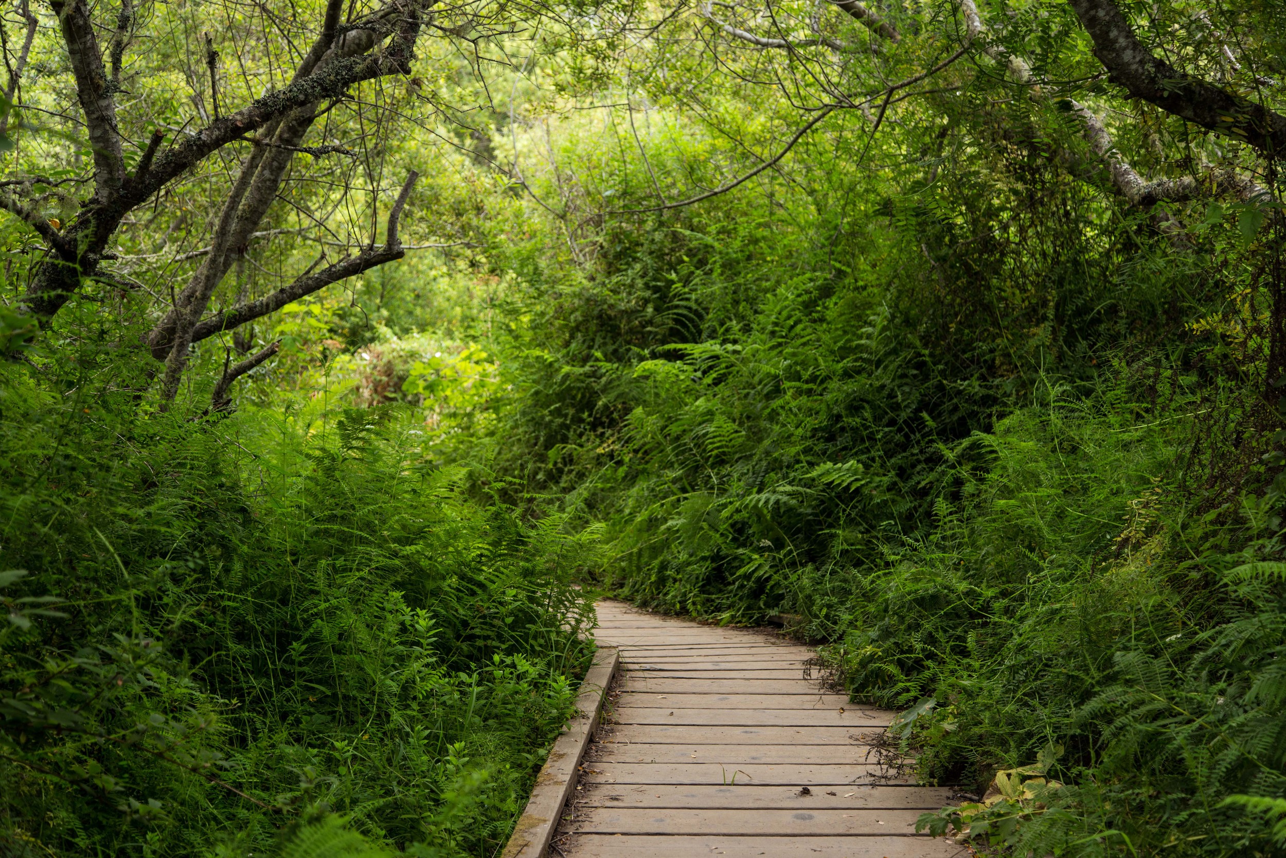
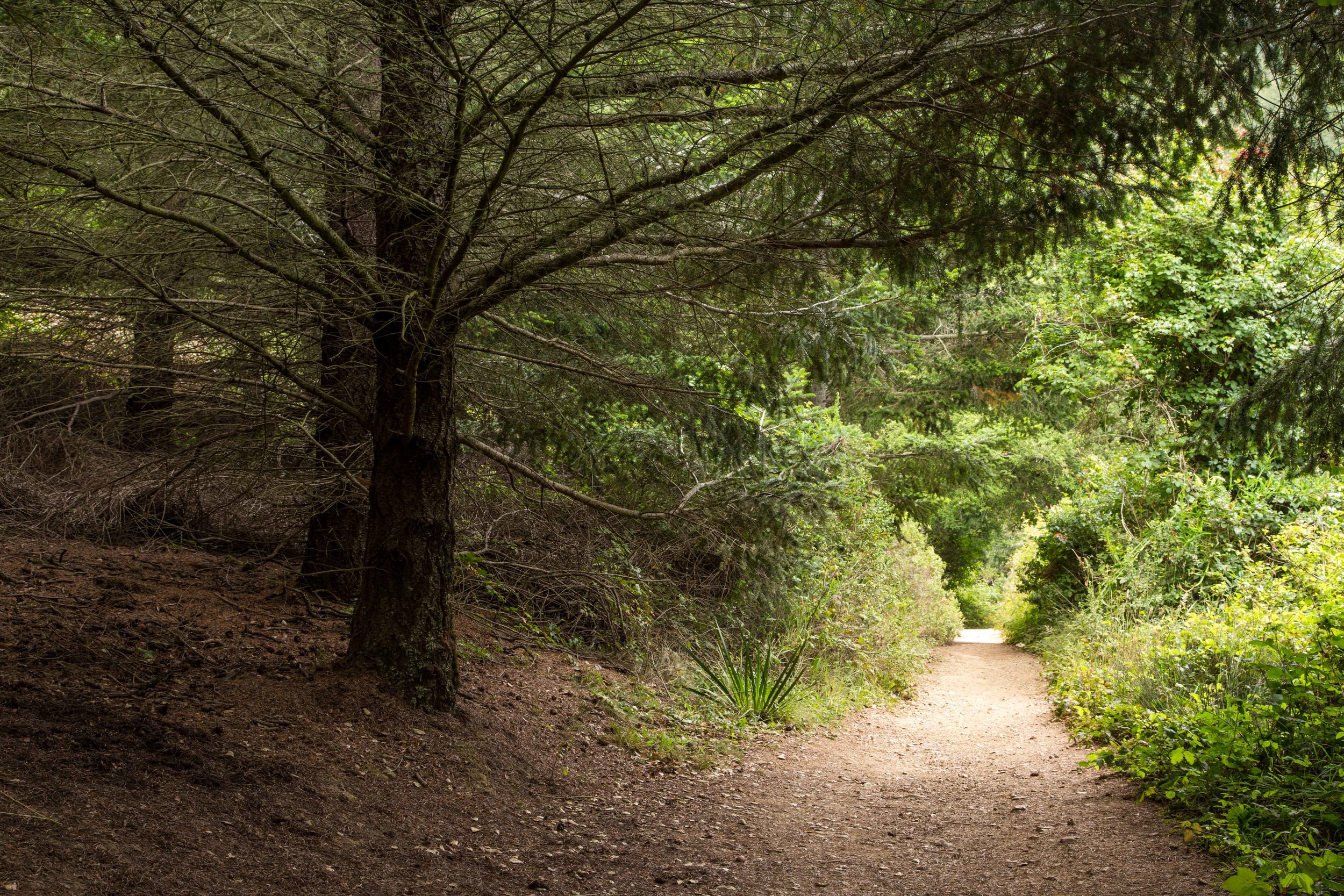
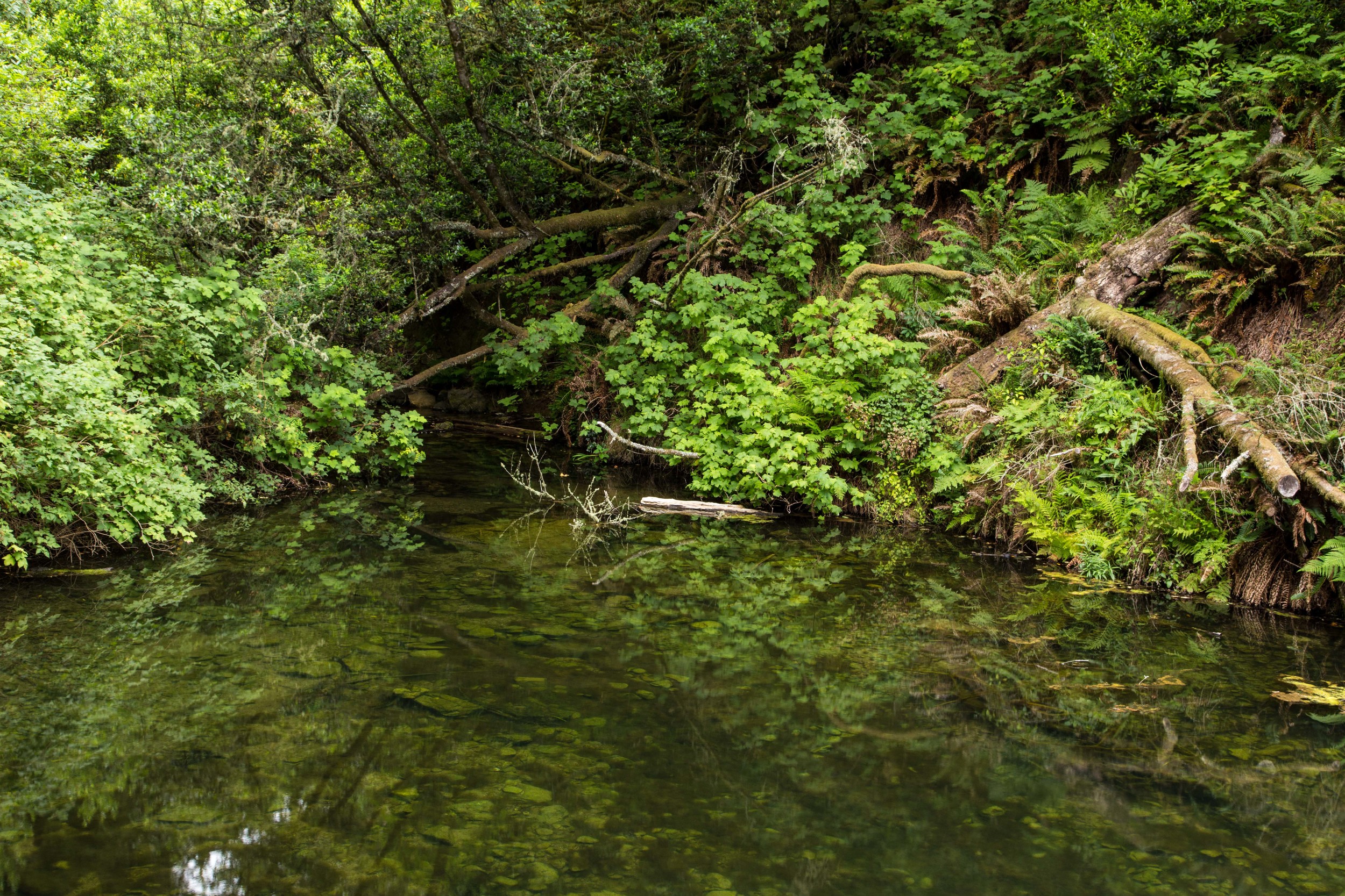
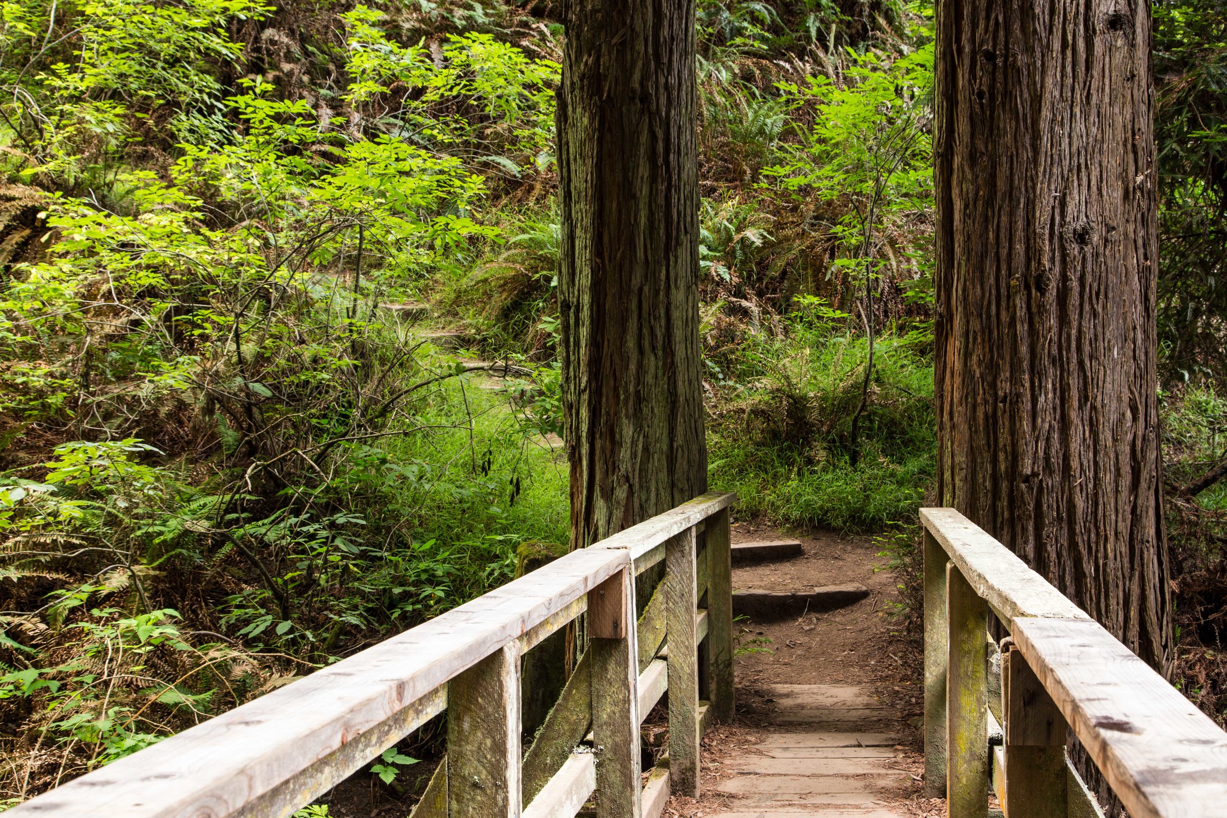
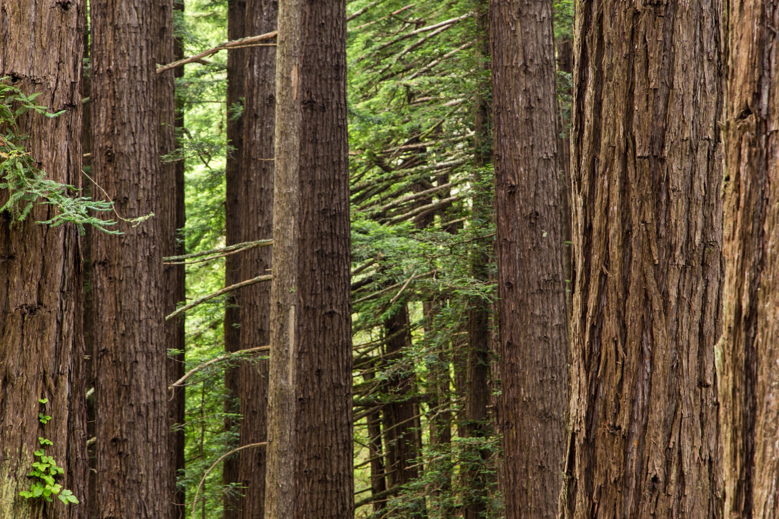
The trail turns woodsy again here. At about 1.4 miles, continue right onto the Dipsea Trail, and then follow the narrow single track to the left at the confusing and unmarked split. At 1.5 miles continue left on the Dipsea/Steep Ravine Trail. There is a little pond here, with tiny fish swimming around. Across the pond are a few towering redwoods; one with a fat burl bursting from its belly. The tangled bay laurels are mossy and mysterious, and seem vibrant even in the dryness of a California Summer.  Continue on through the shaded trail, past the pond and to the wooden bridge. Cross at the bridge, and continue the climb.

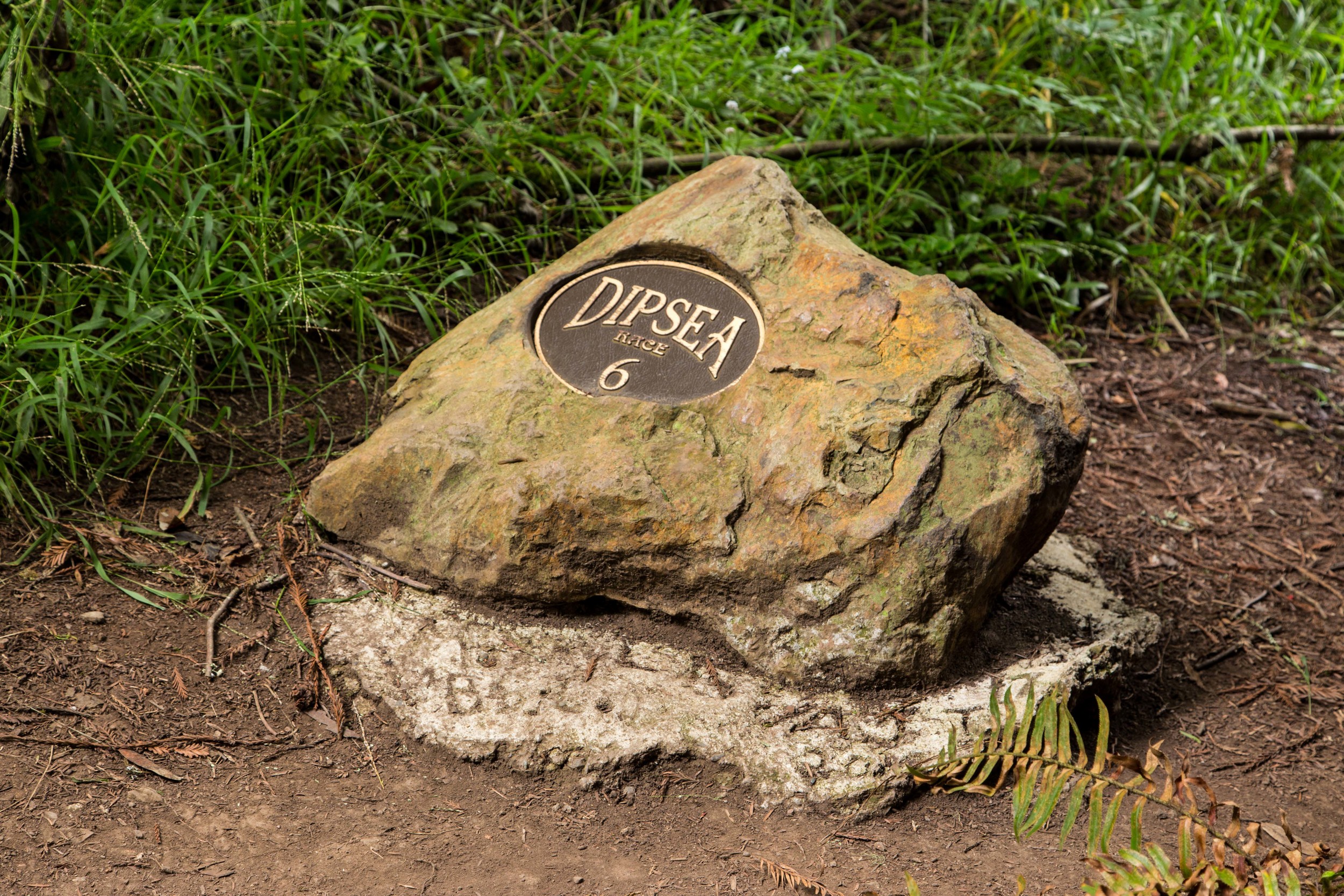
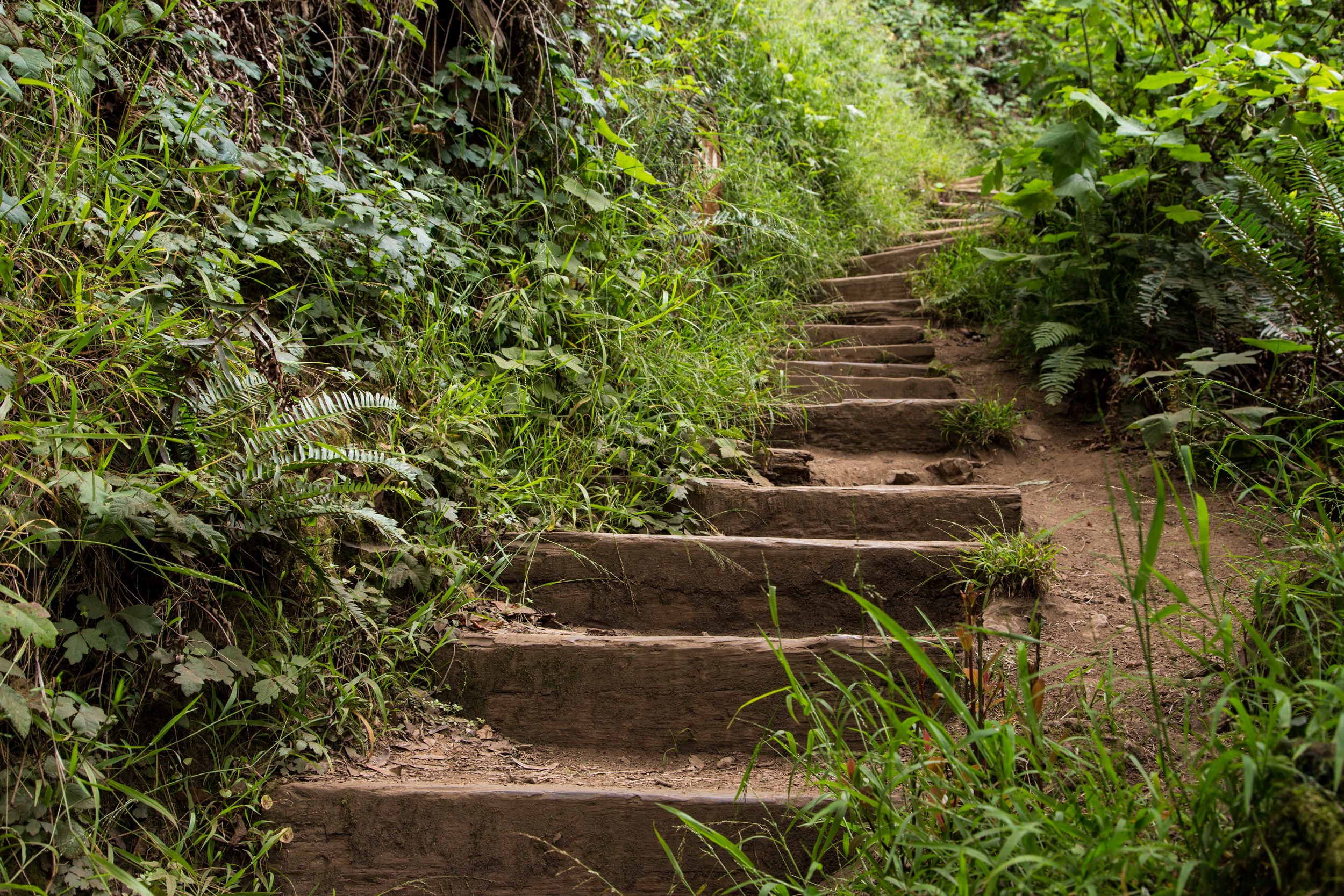
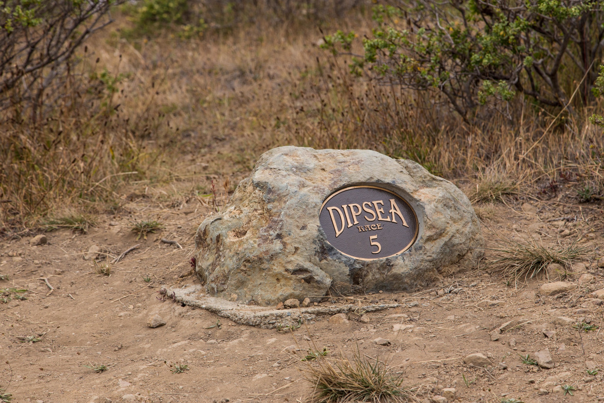
Just on the other side of the bridge is one of the Dipsea Race mile markers. Runners come down this trail, and by this point are almost done with the race. But our climb is just beginning. Every step resonates through the body. Soon, your heart might feel like a prisoner shaking his cage. But you'll eventually realize that the prisoner is doing cartwheels. The pounding heart and heavy legs are really gifts, reminding us where we are, and what we are accomplishing. The morning mist hydrates much of the green here. Marin is much wetter than much of the rest of the bay area, and the natural foliage still seems fresh and verdant.  Gaps in the steps stand out like missing teeth, a reminder to pay attention and avoid falls. 

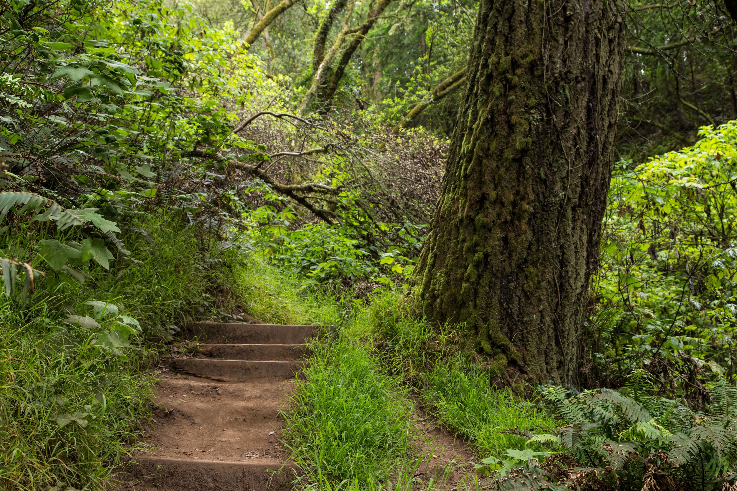
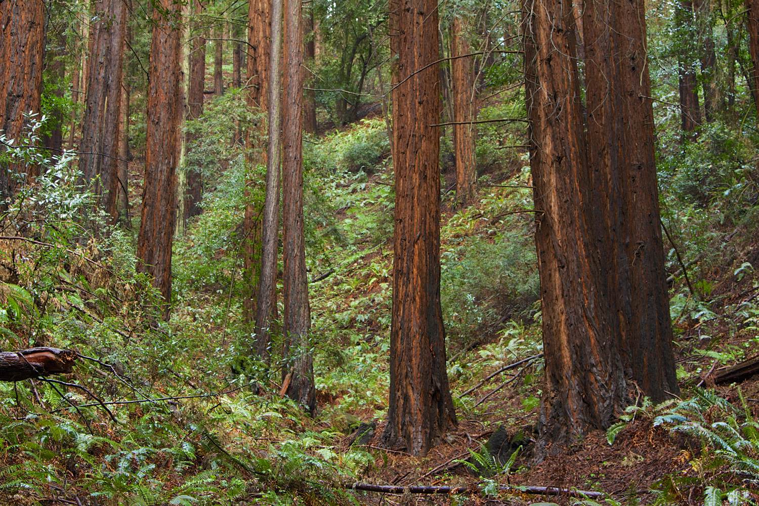
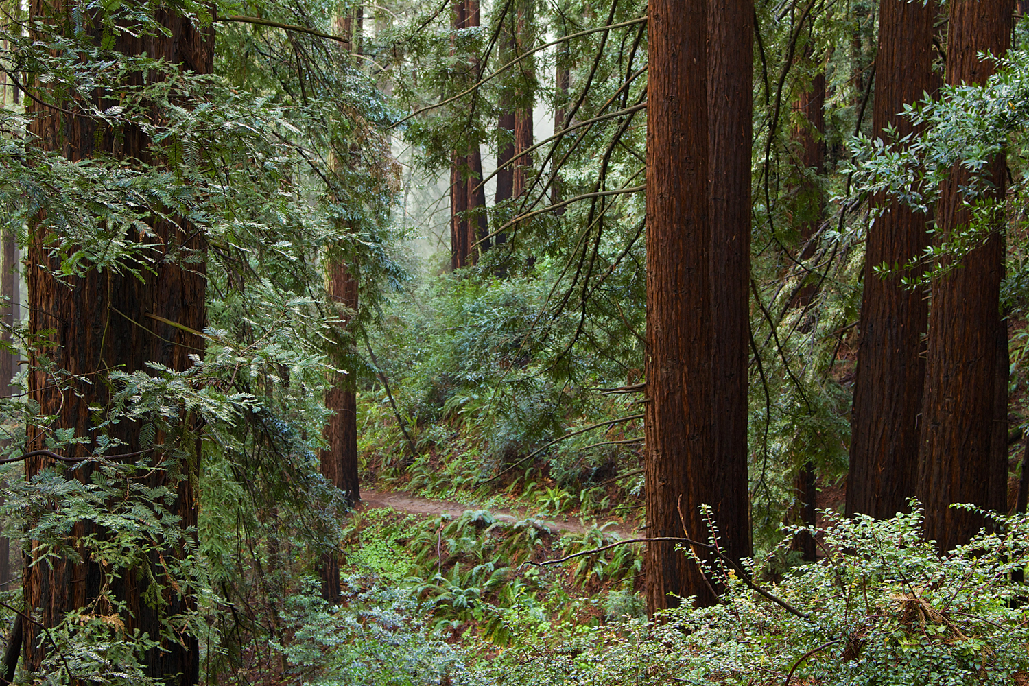
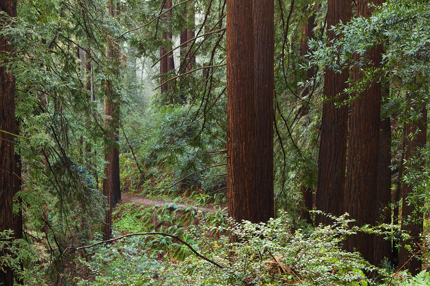
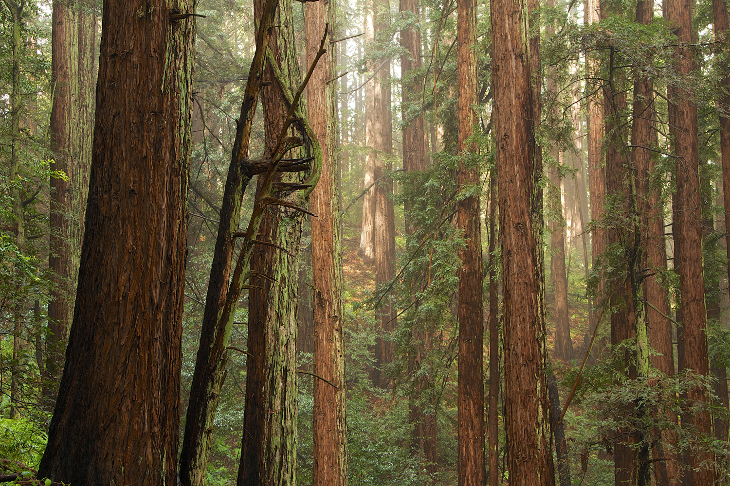
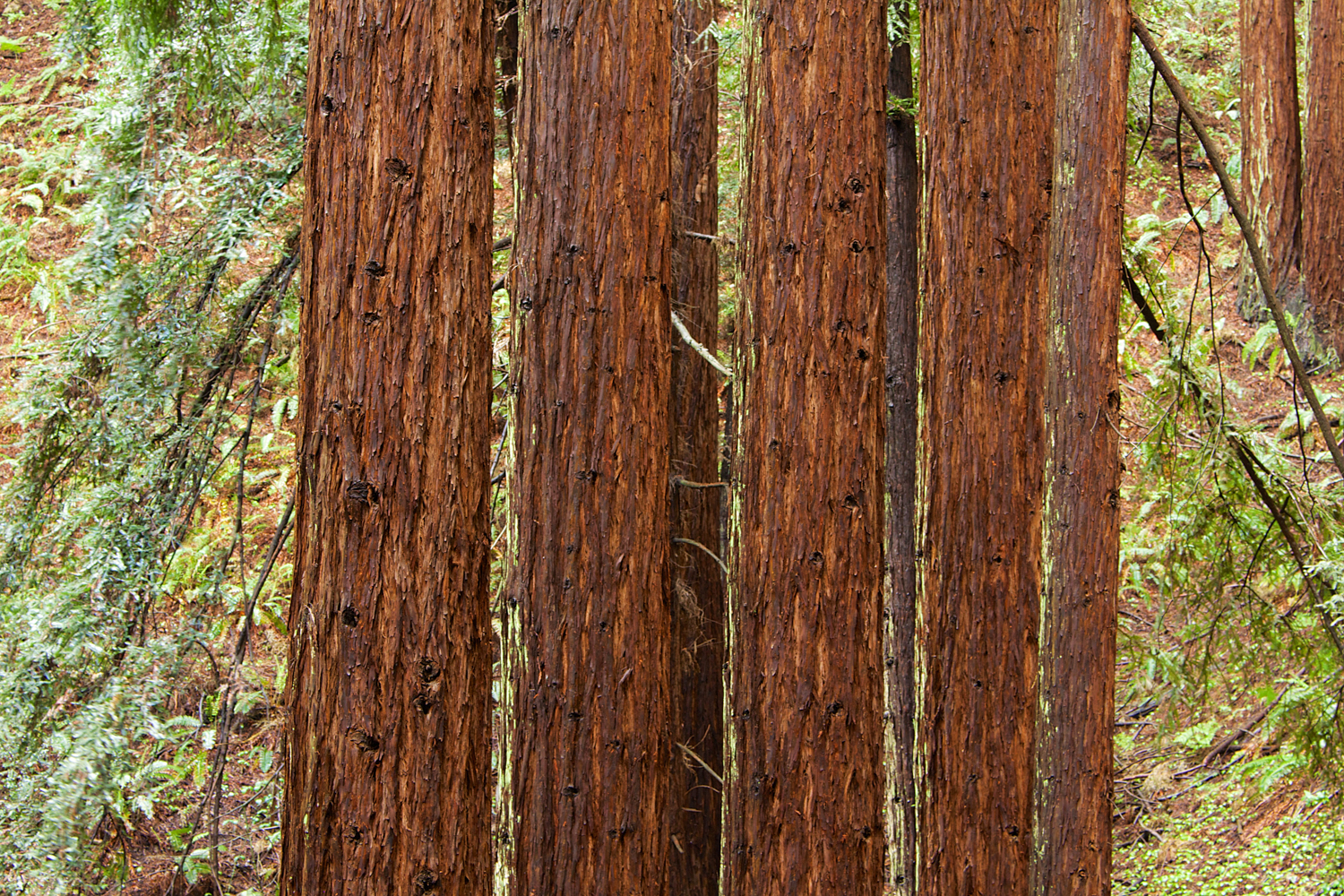
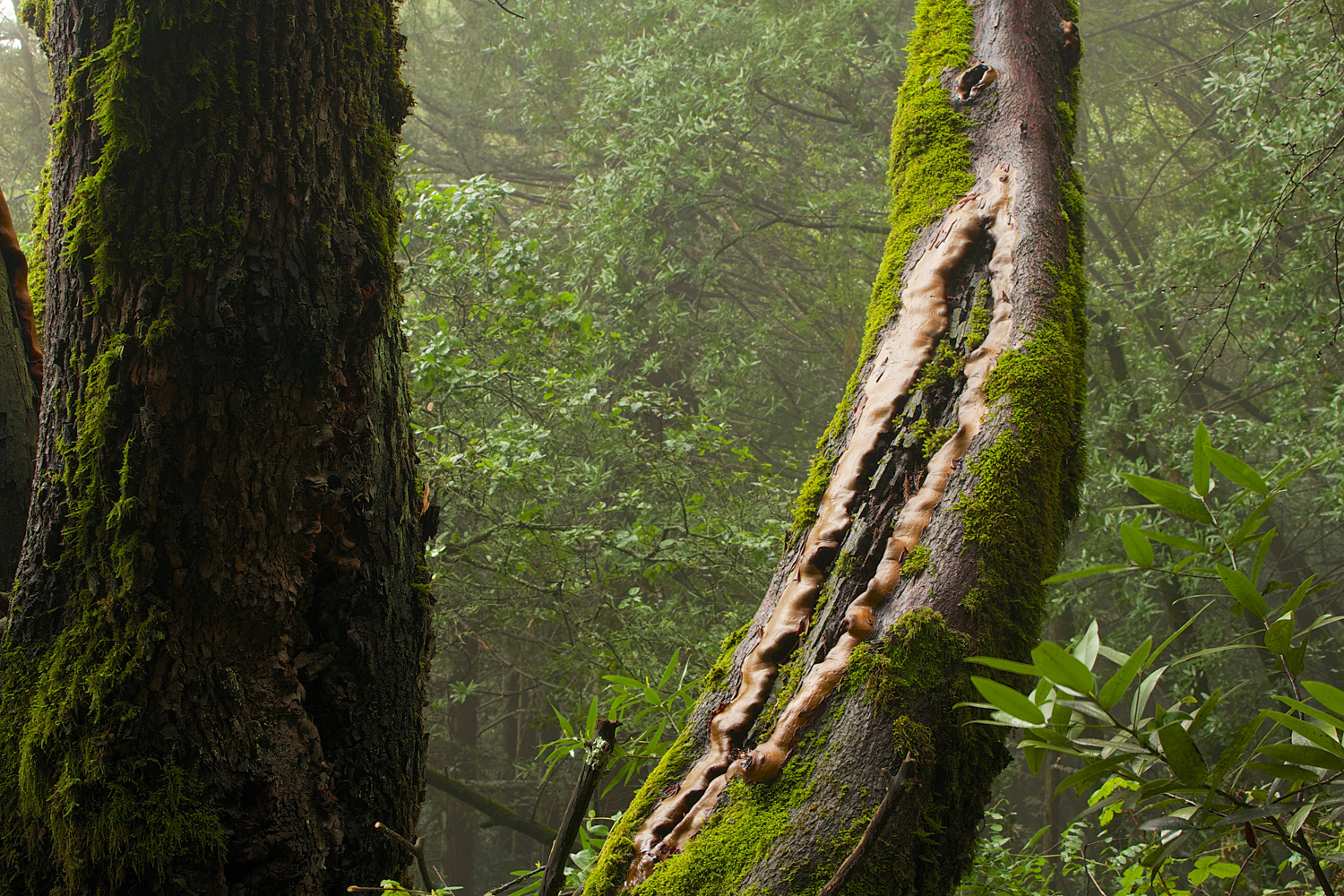
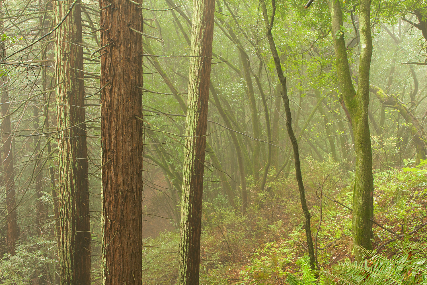
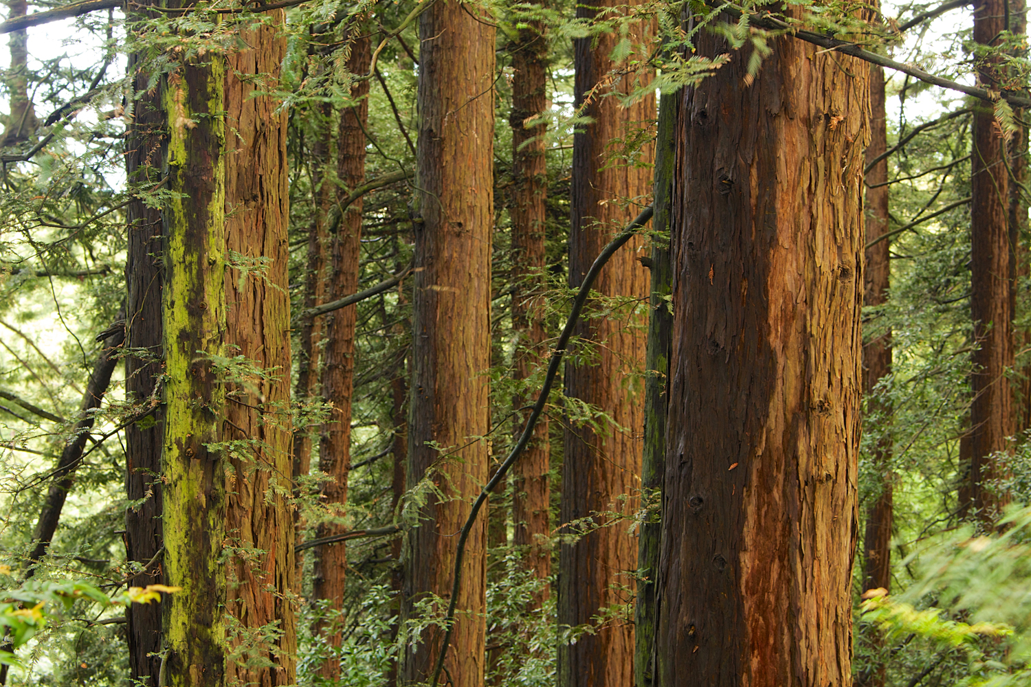
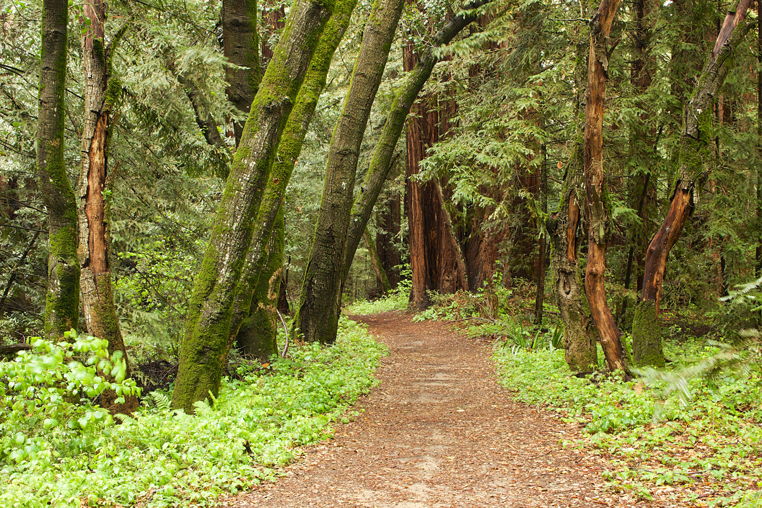
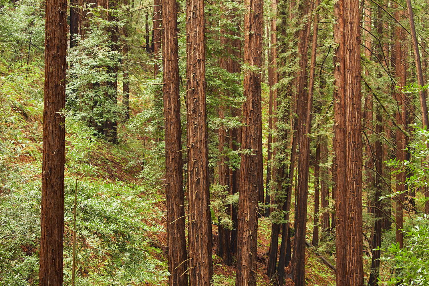
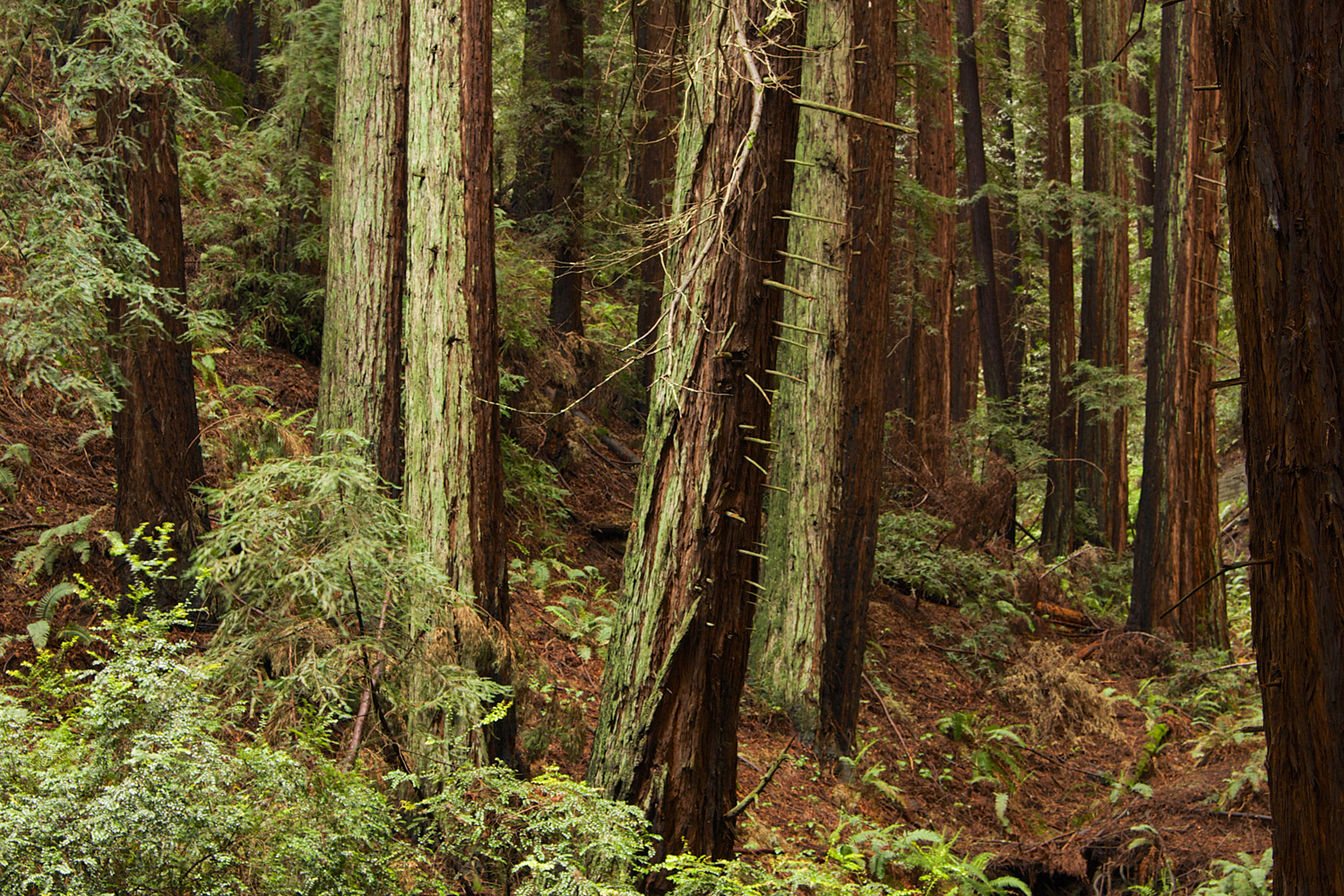
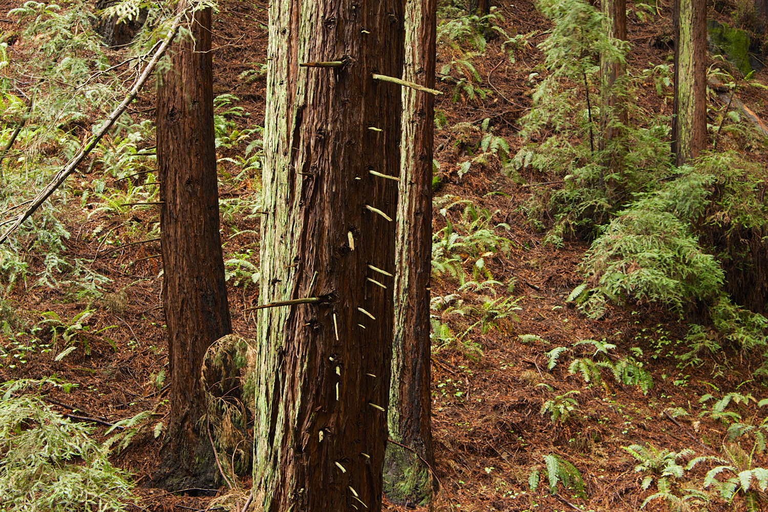
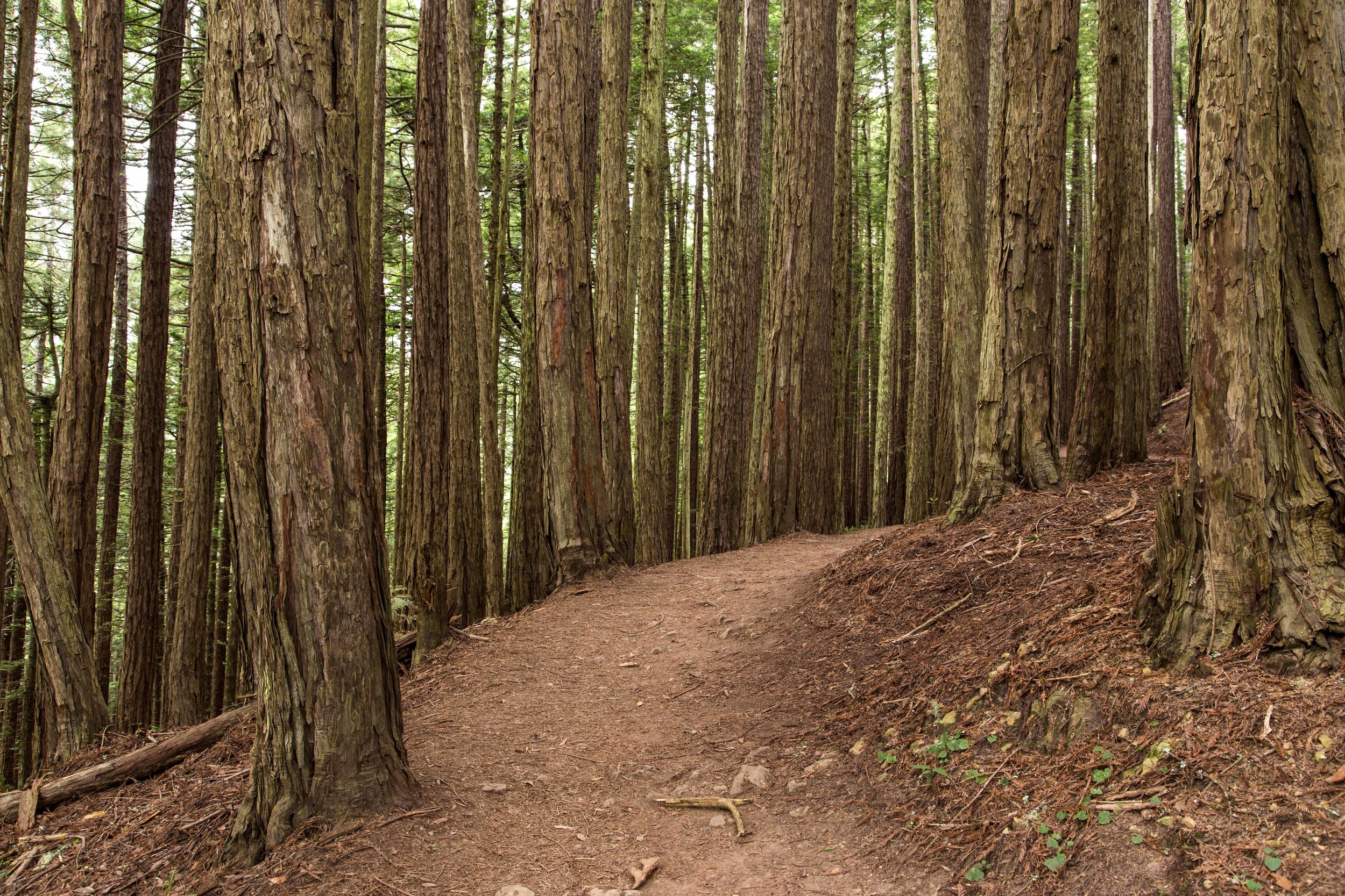
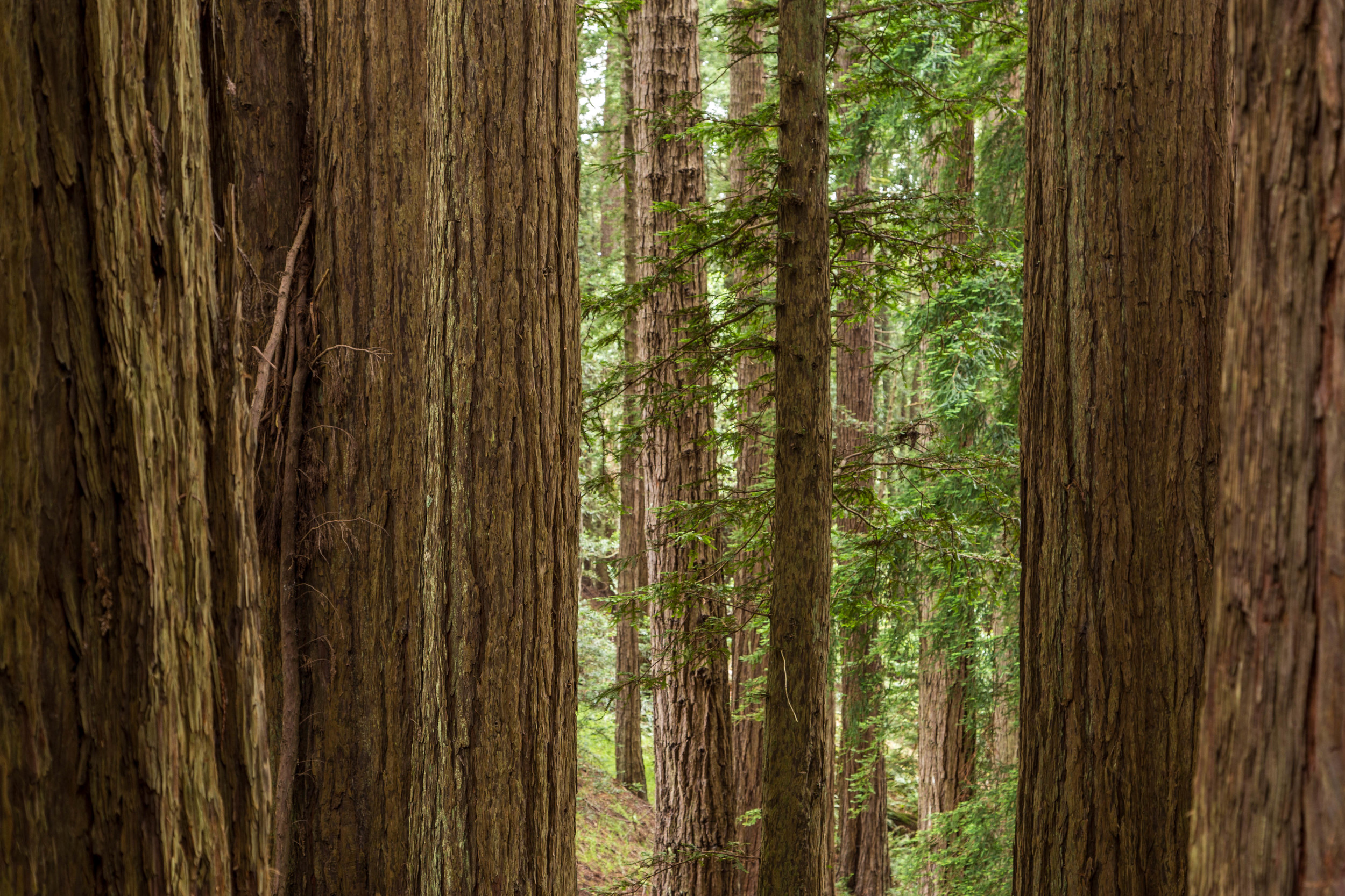
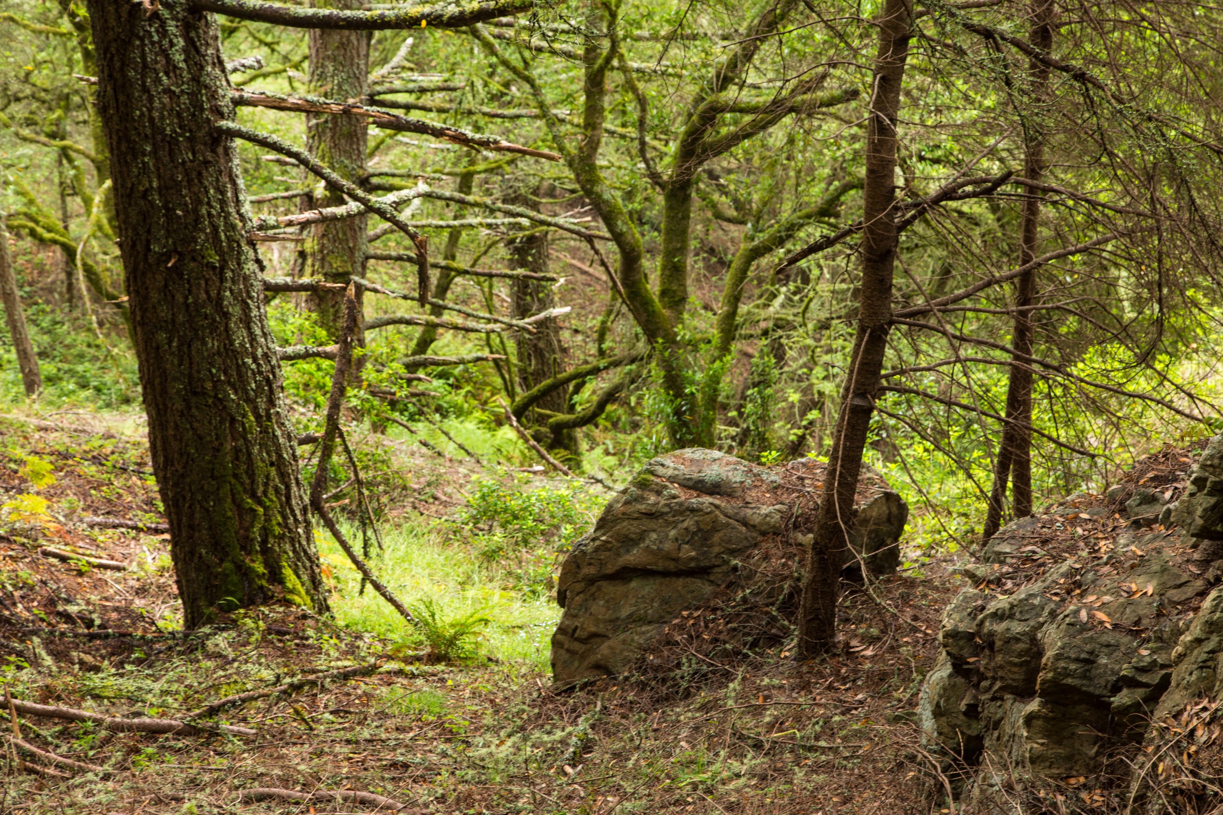
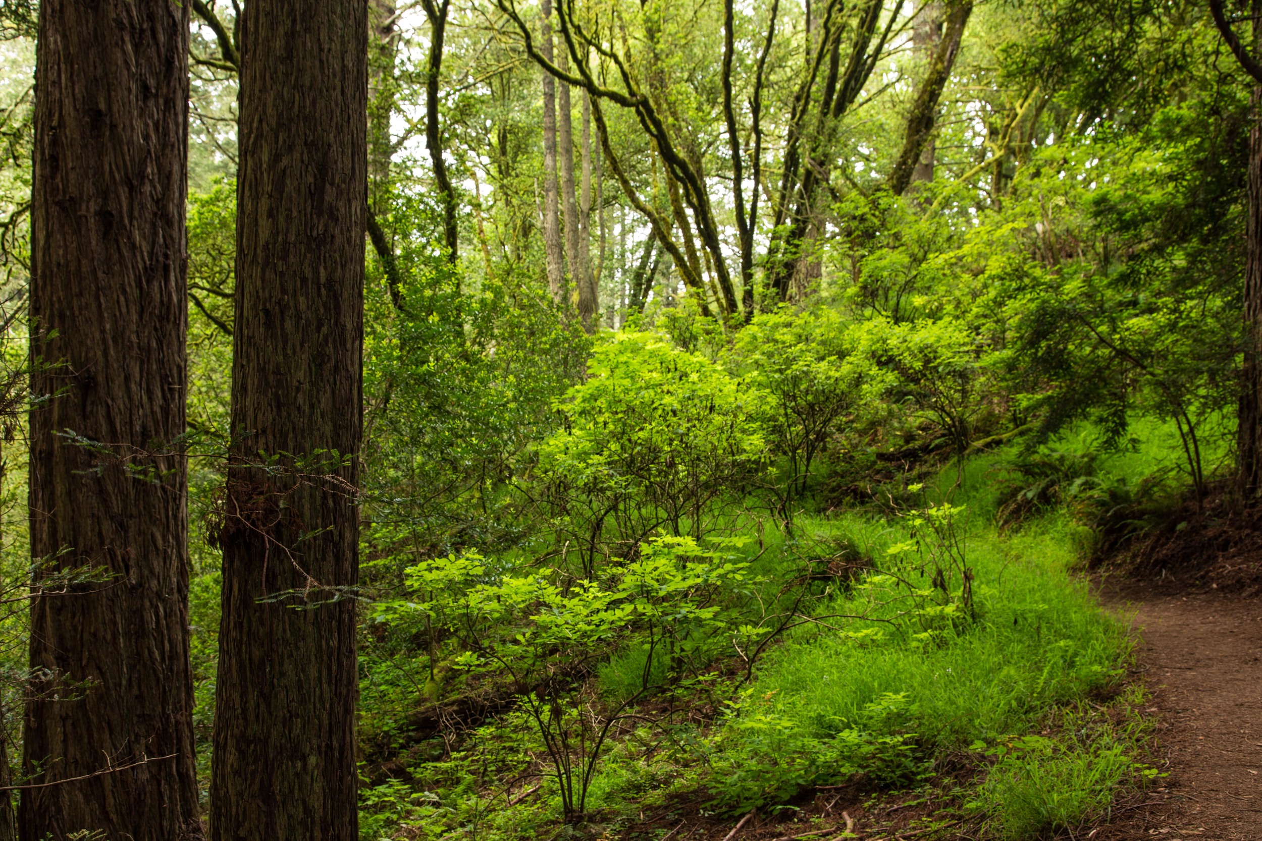
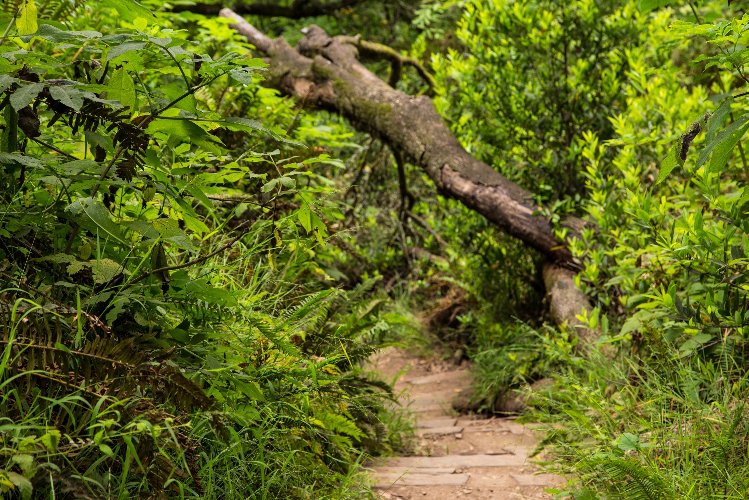
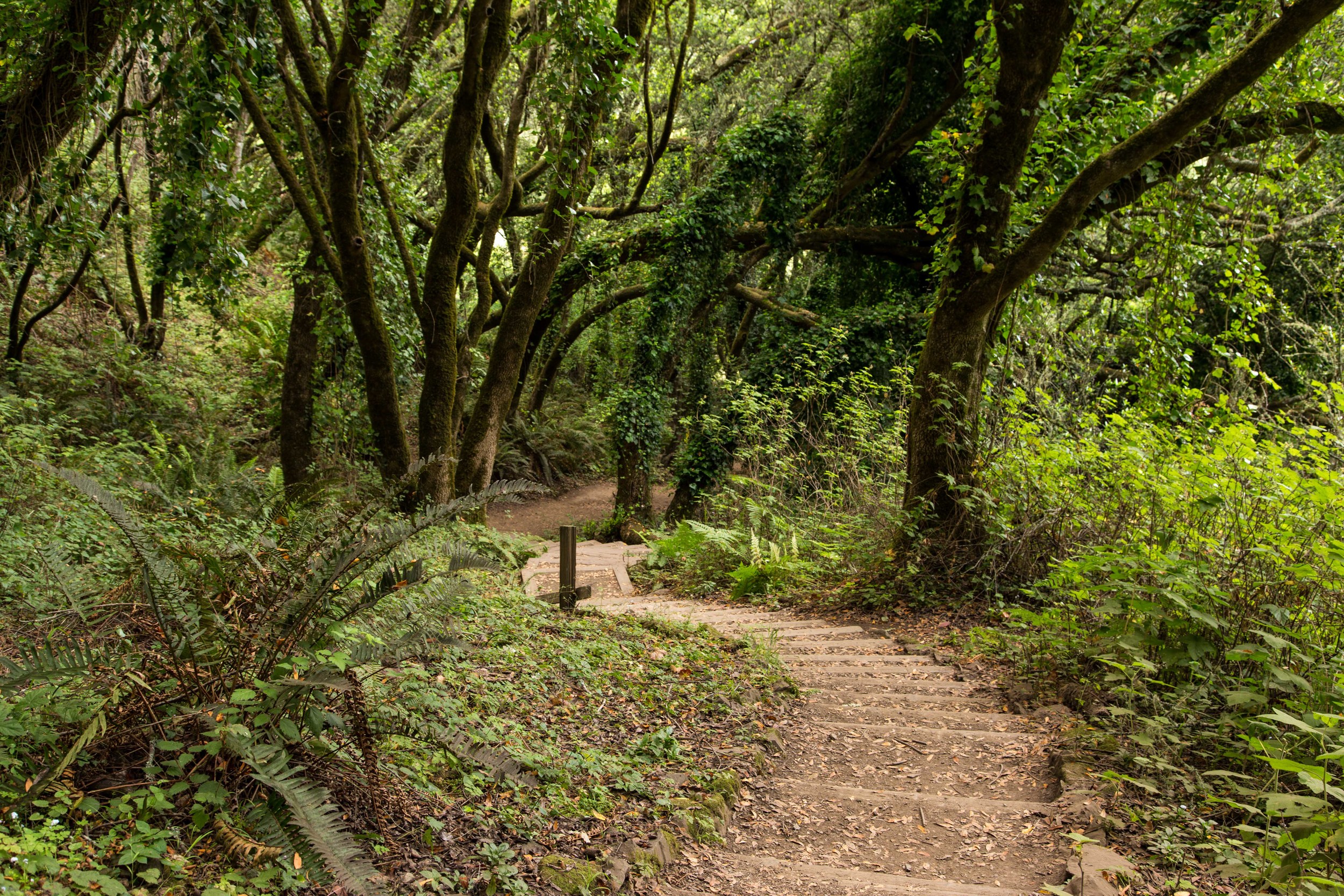
The trail enters a densely packed grove of redwoods. The forest floor in this section seems unusually void of plant life, with only a scattering of green here and there. This passes quickly, and the forest abruptly transitions back  to a mixture of redwoods, bays and oaks, with thick undergrowth.

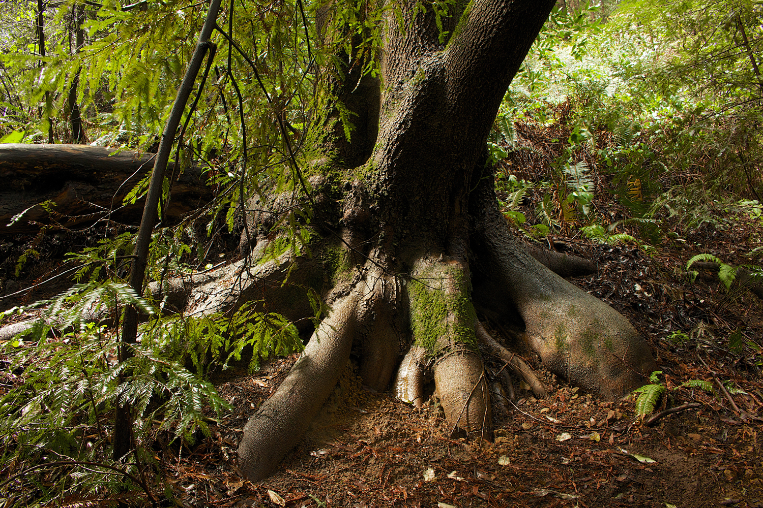
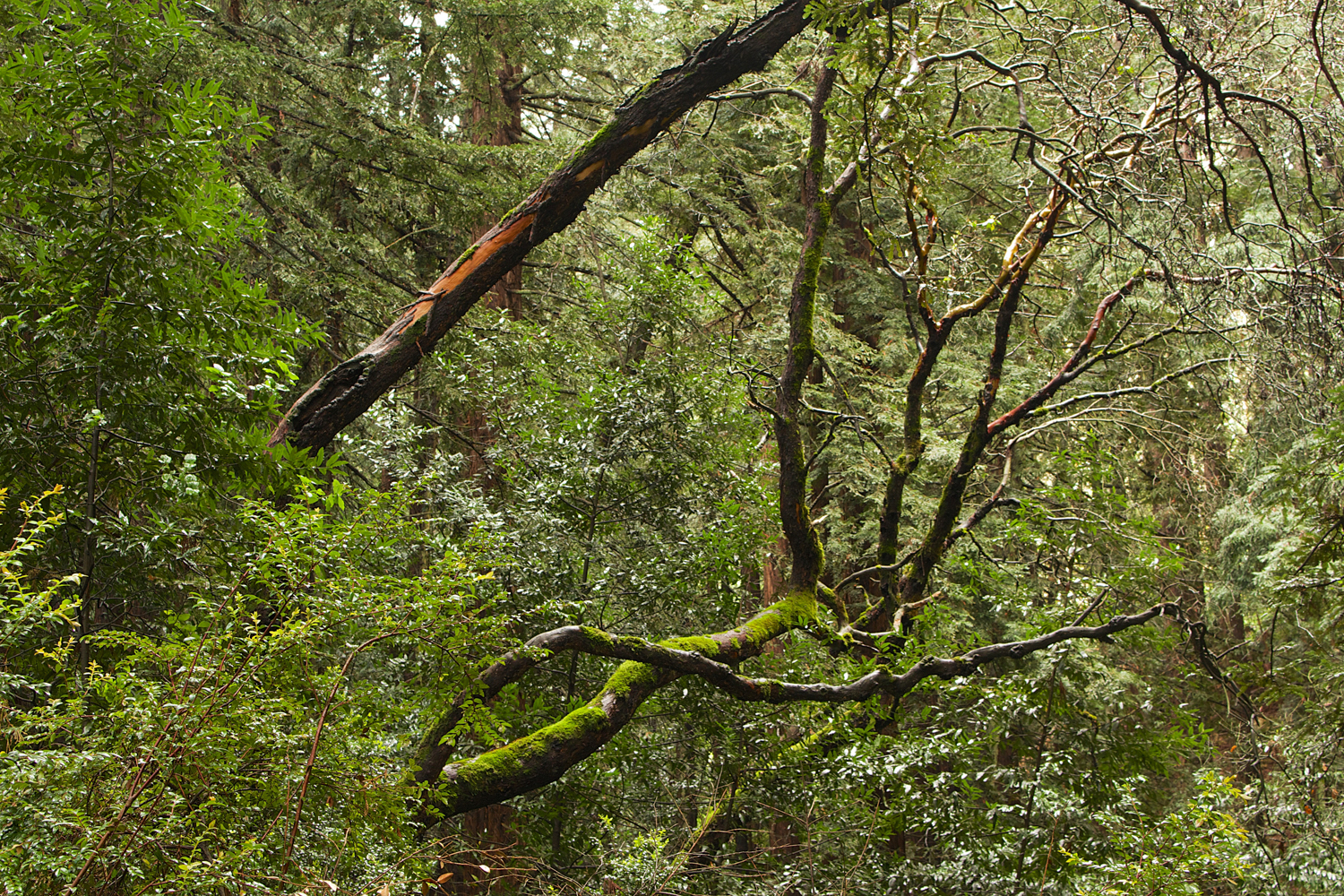
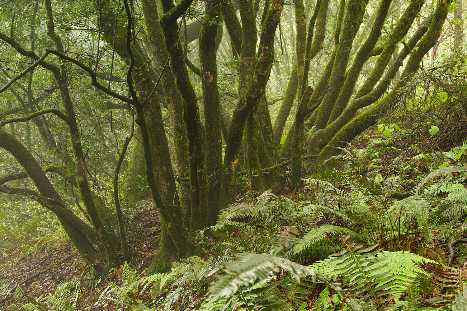
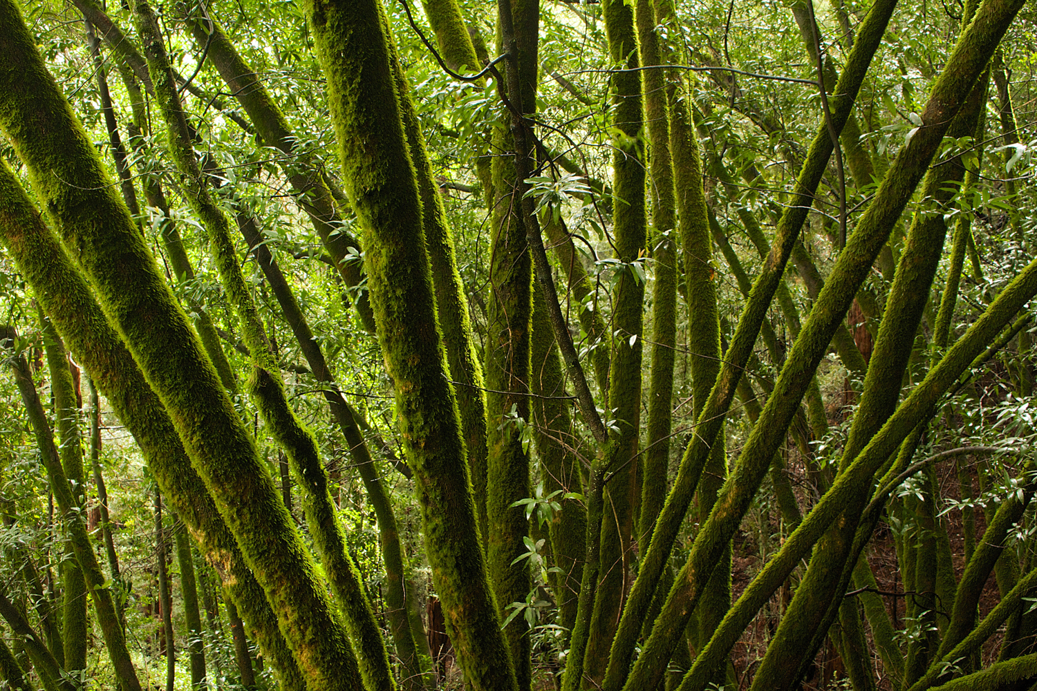
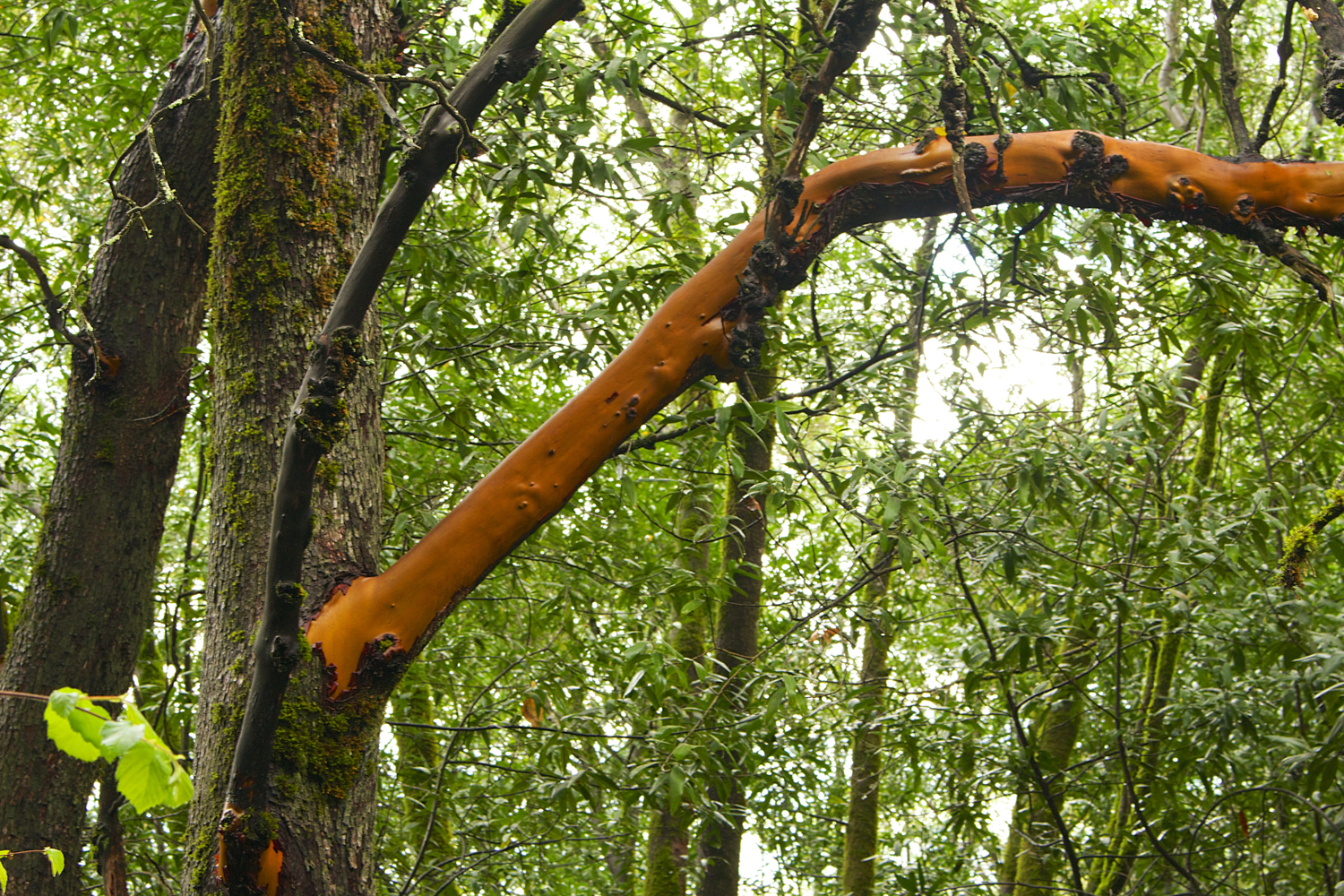
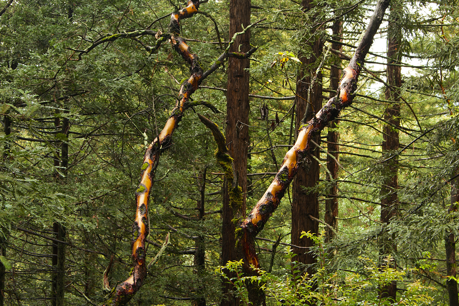
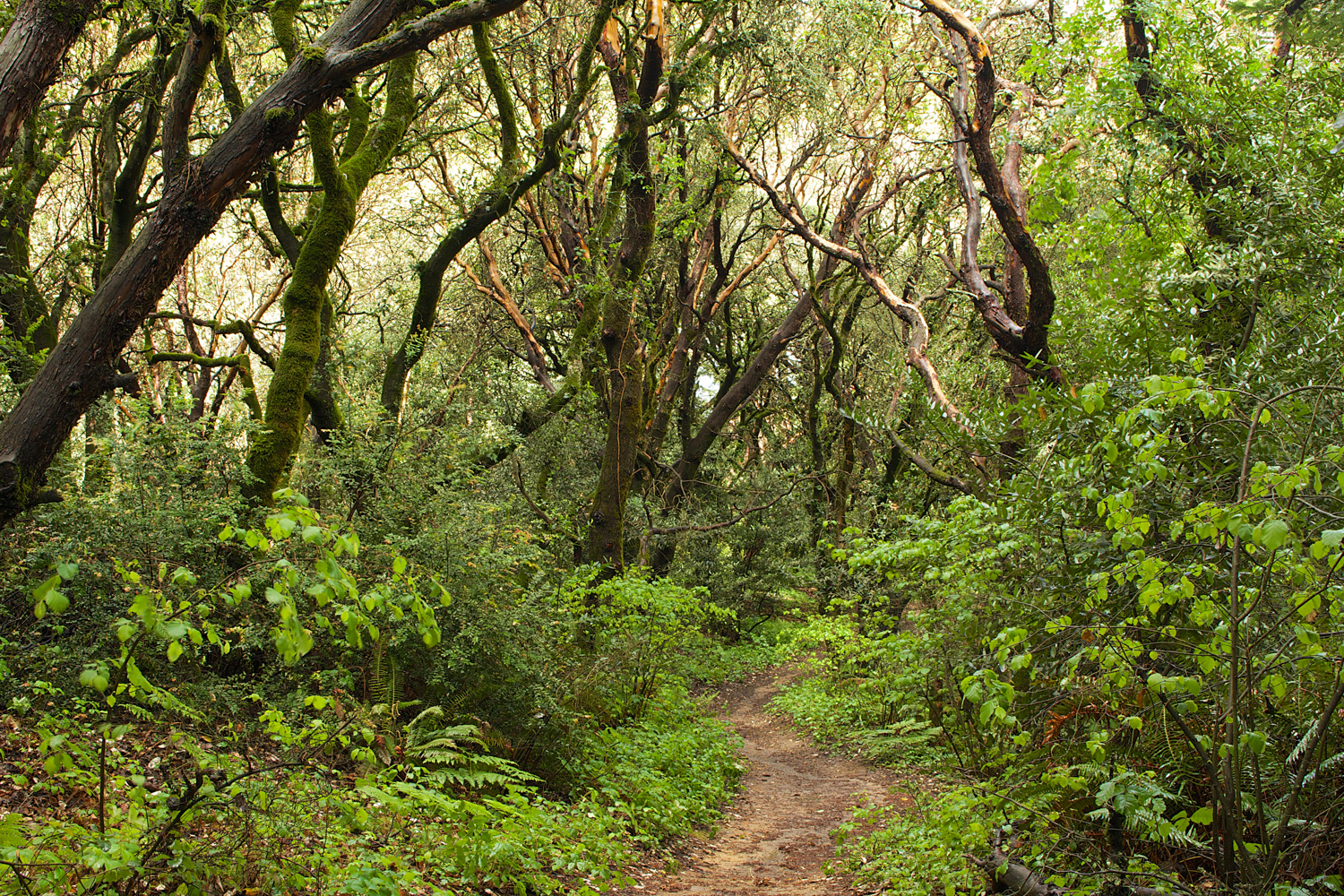
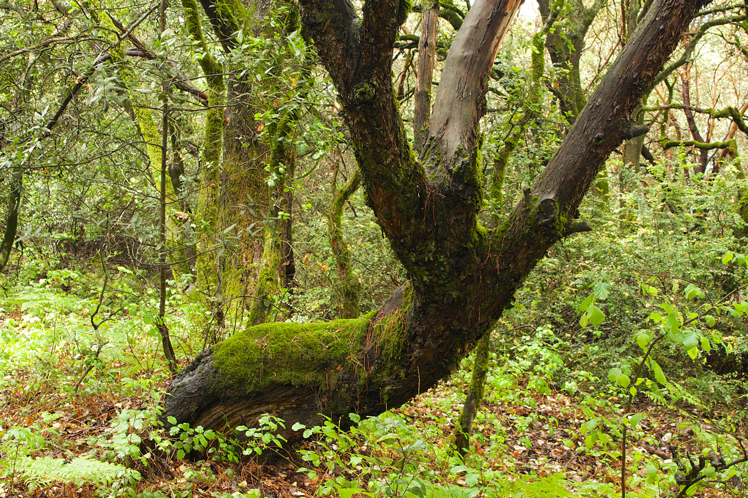
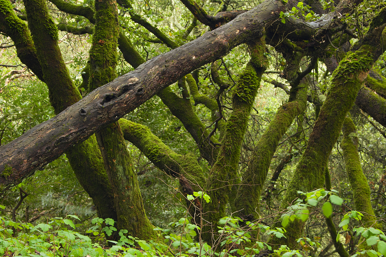
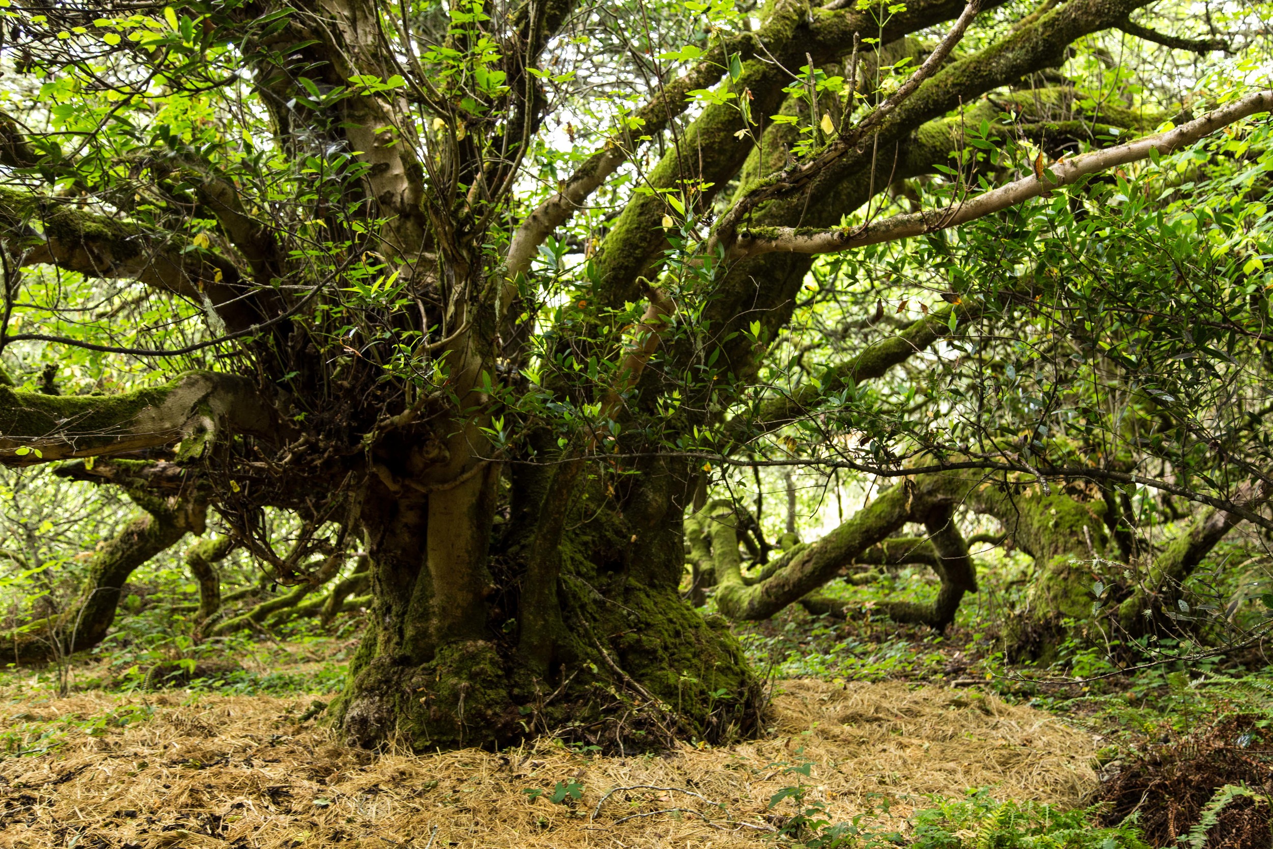
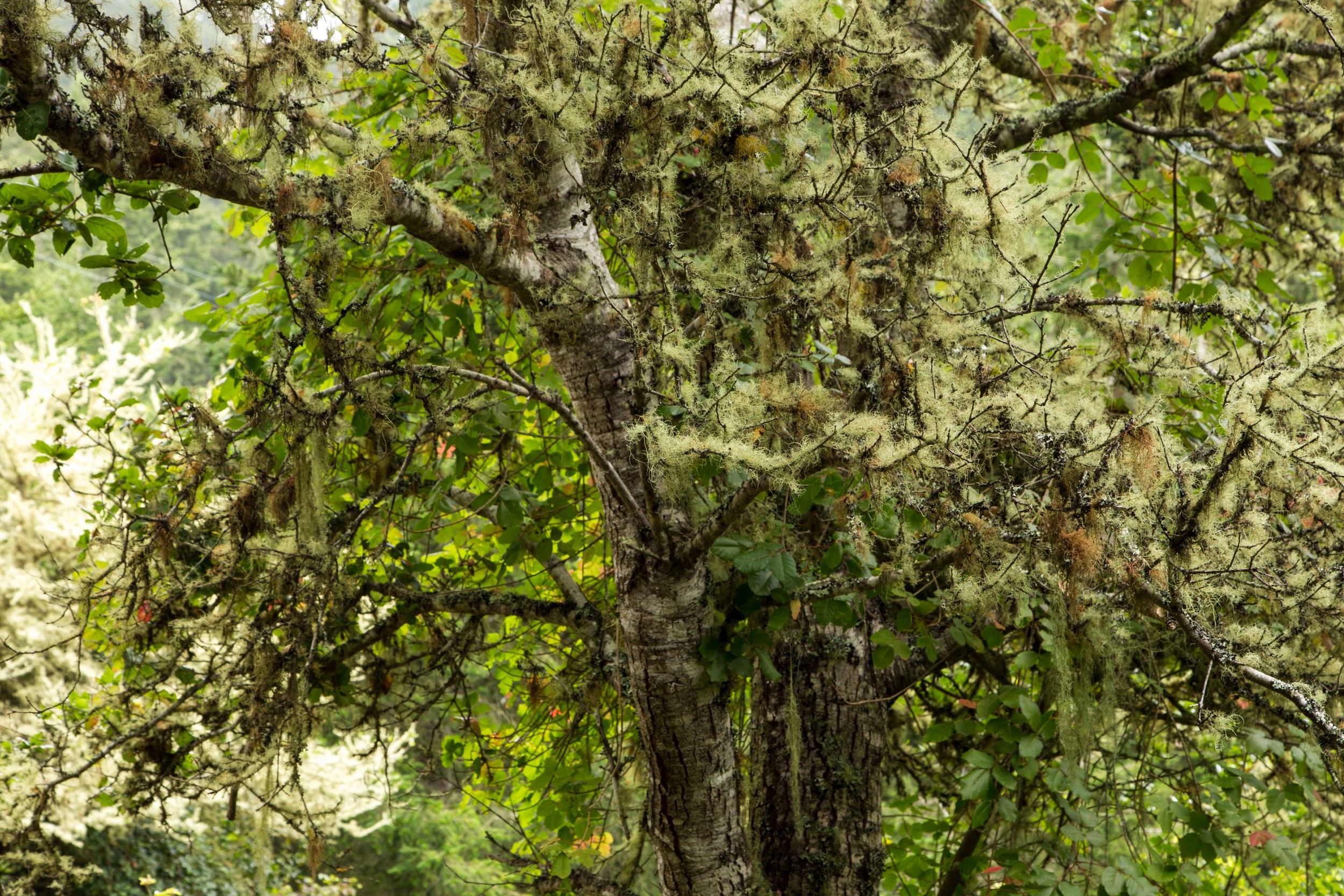
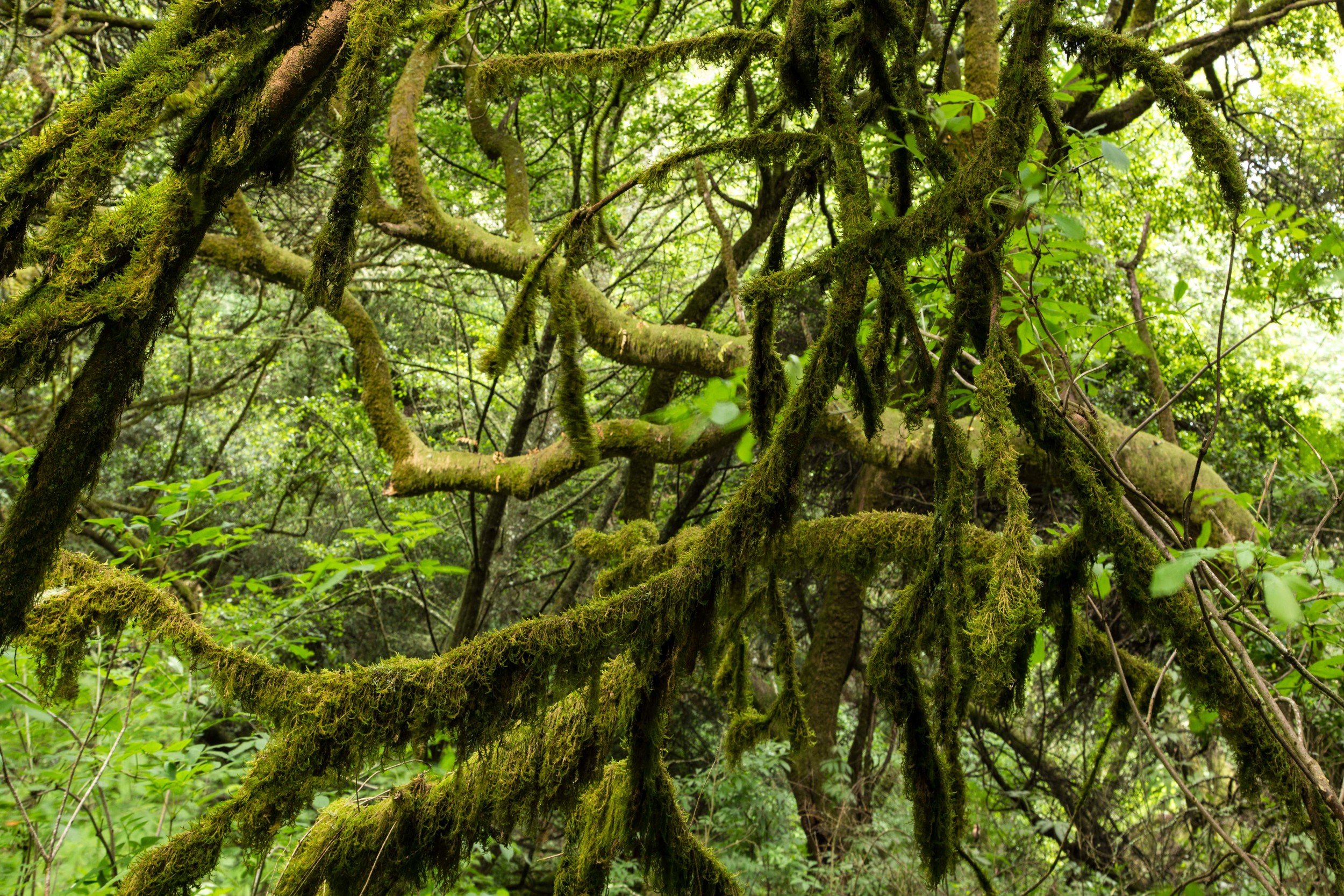
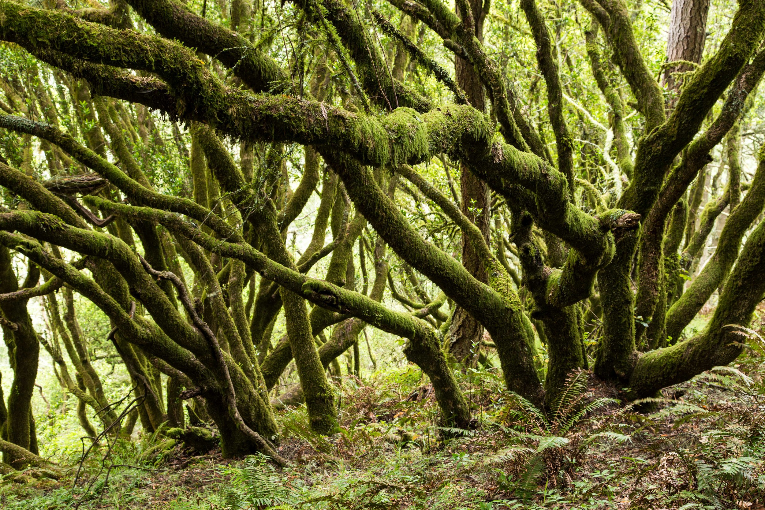
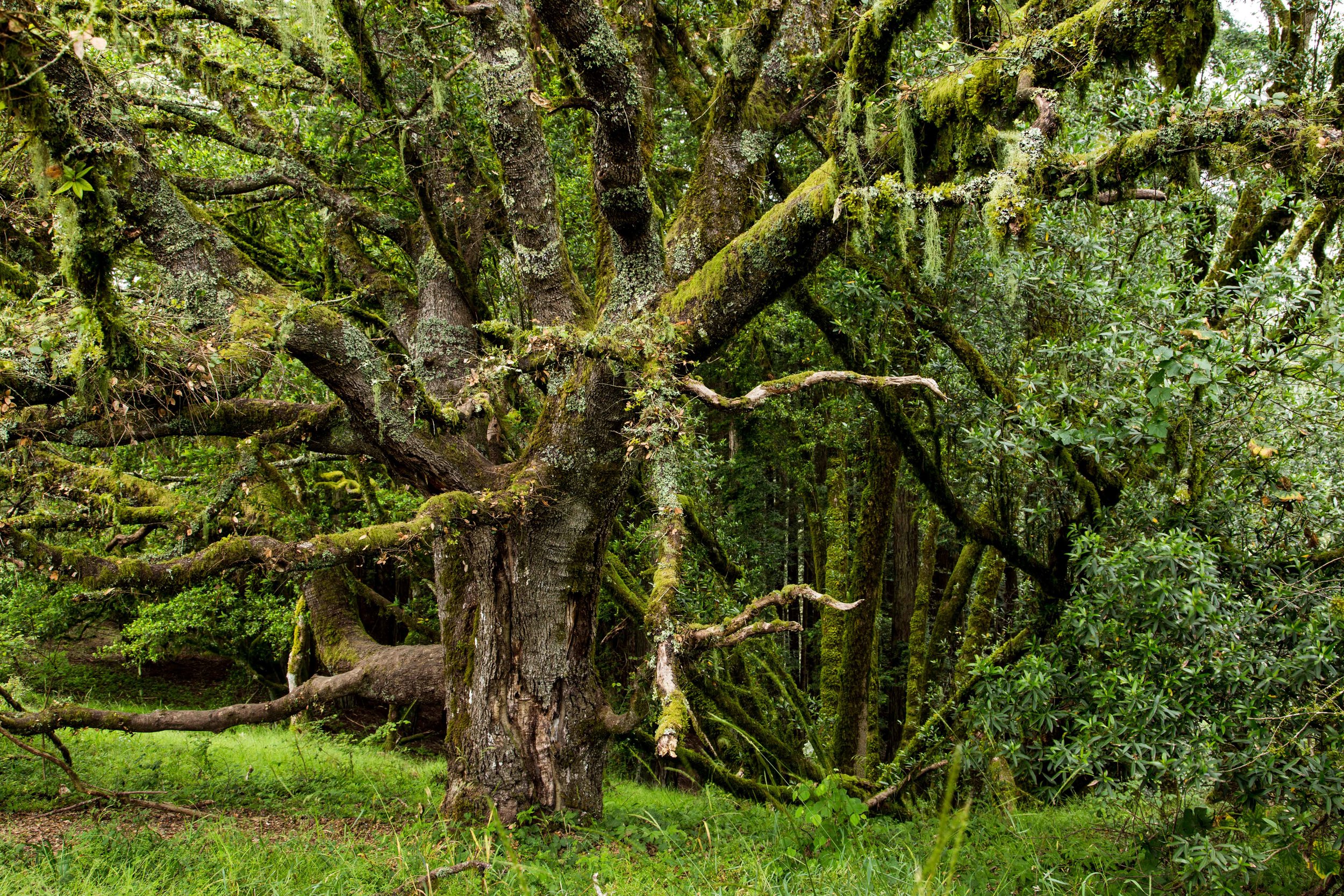
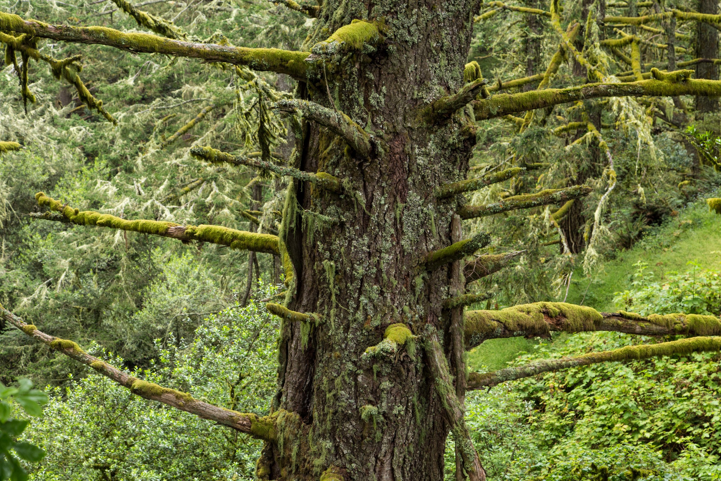
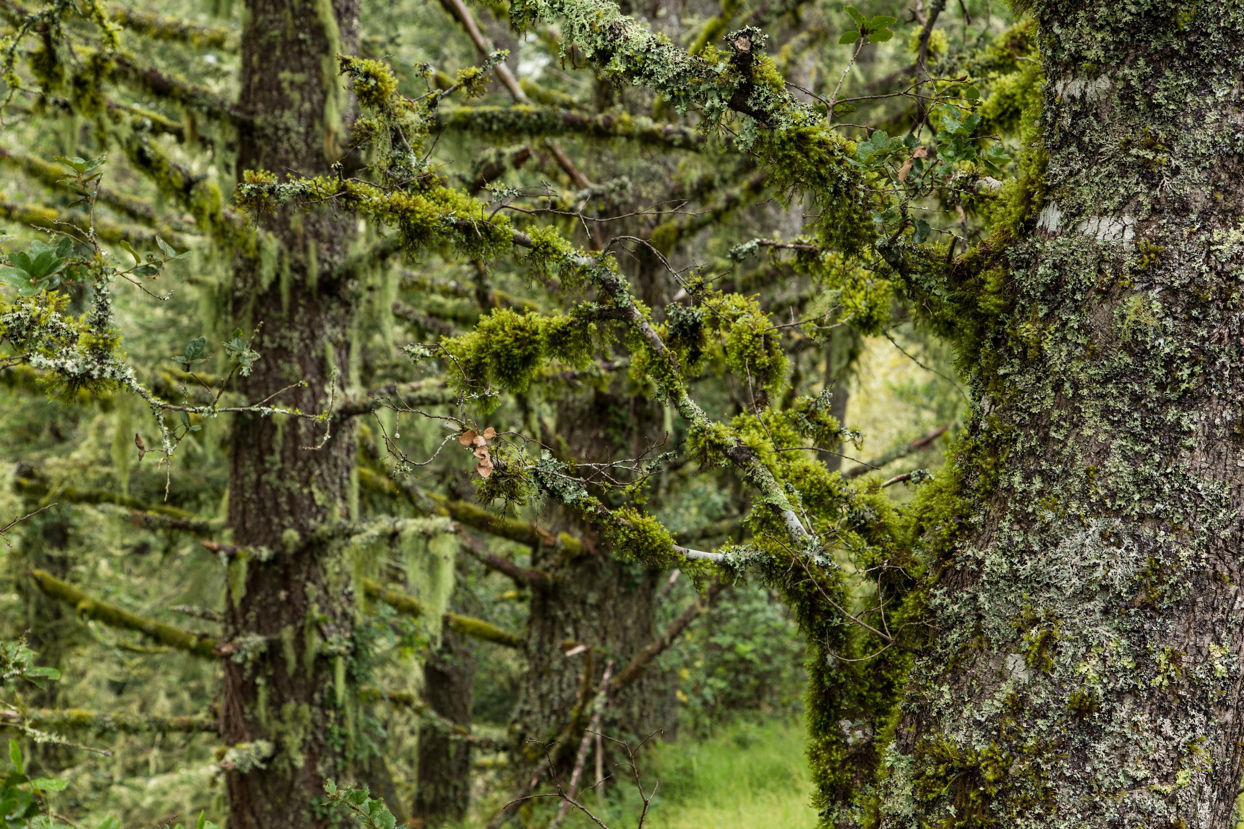
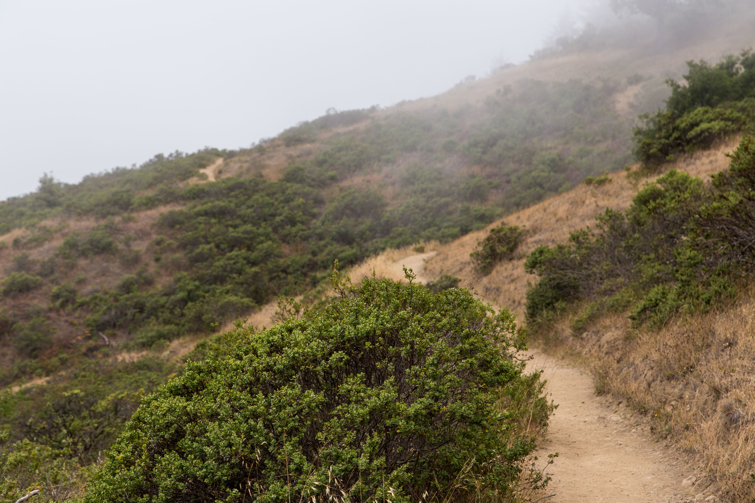
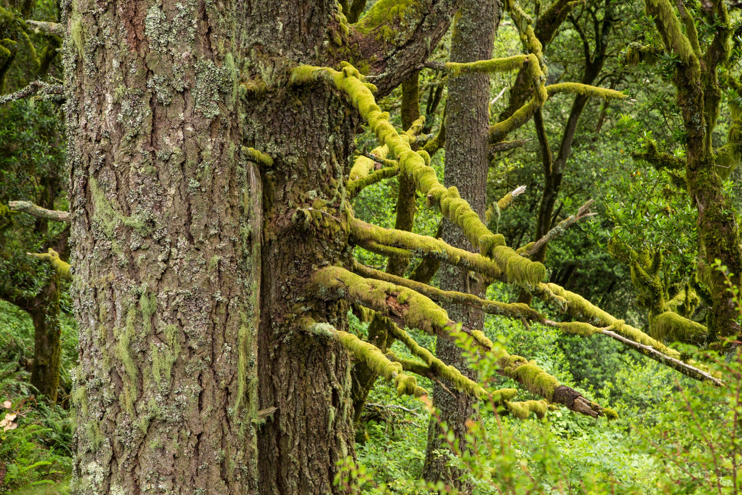
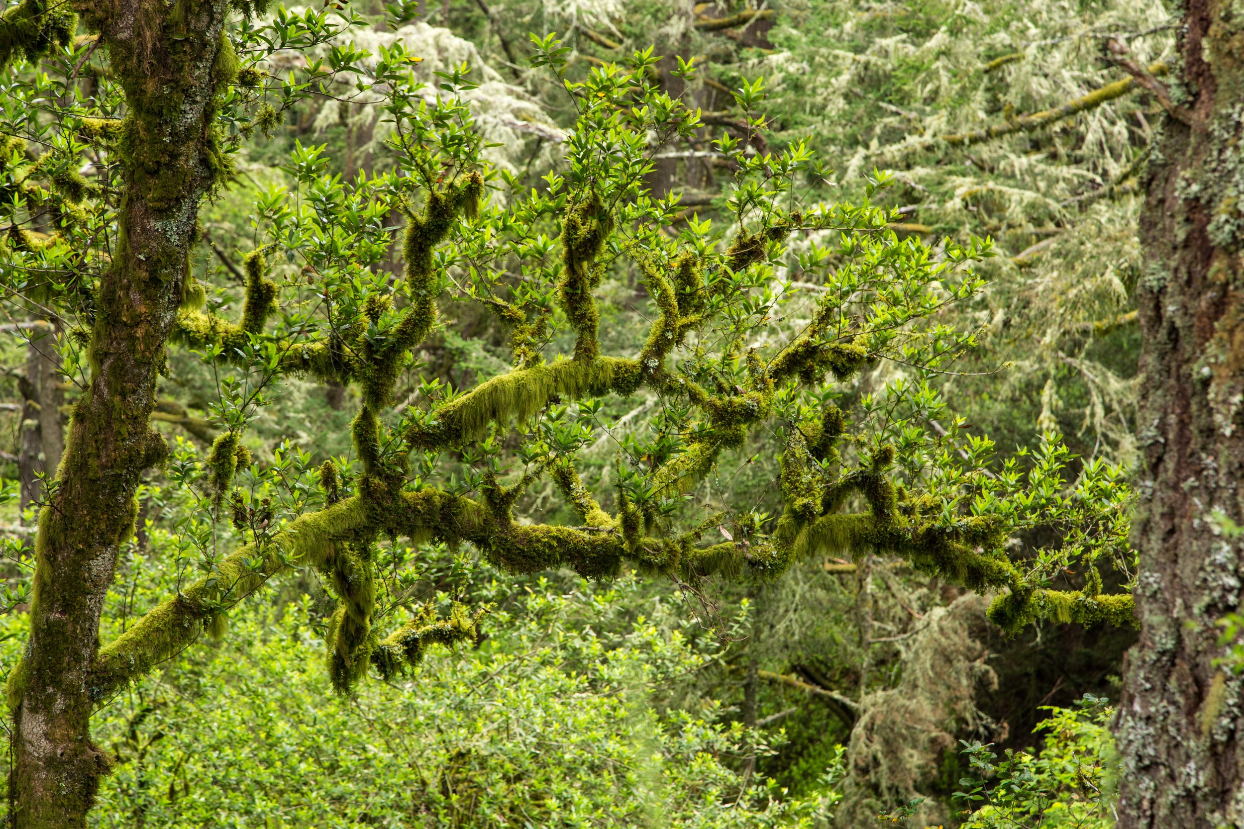
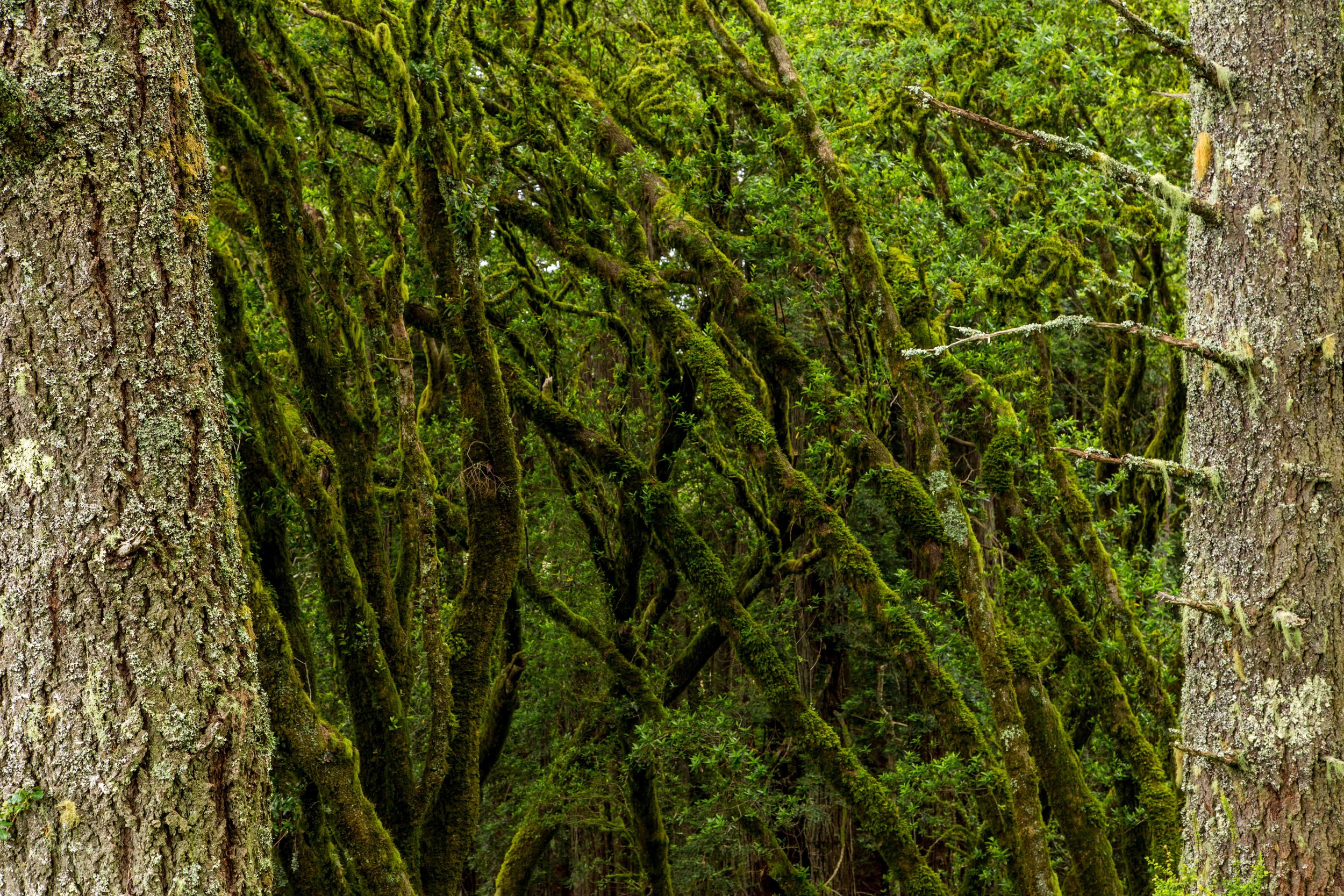
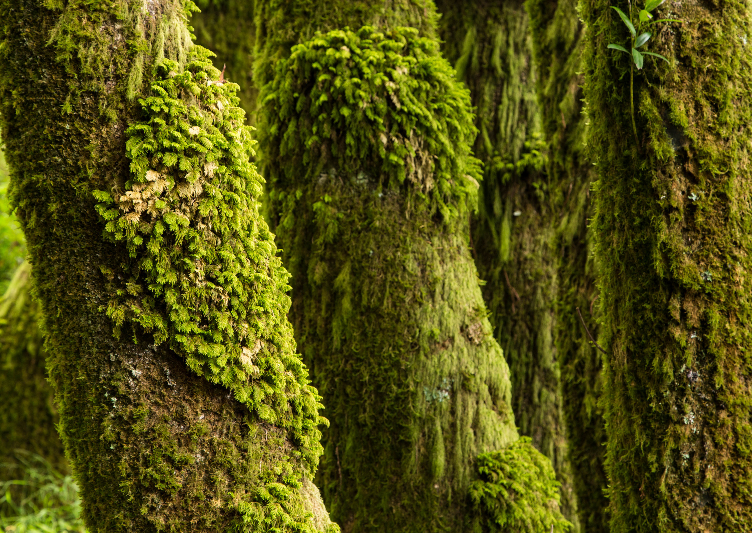
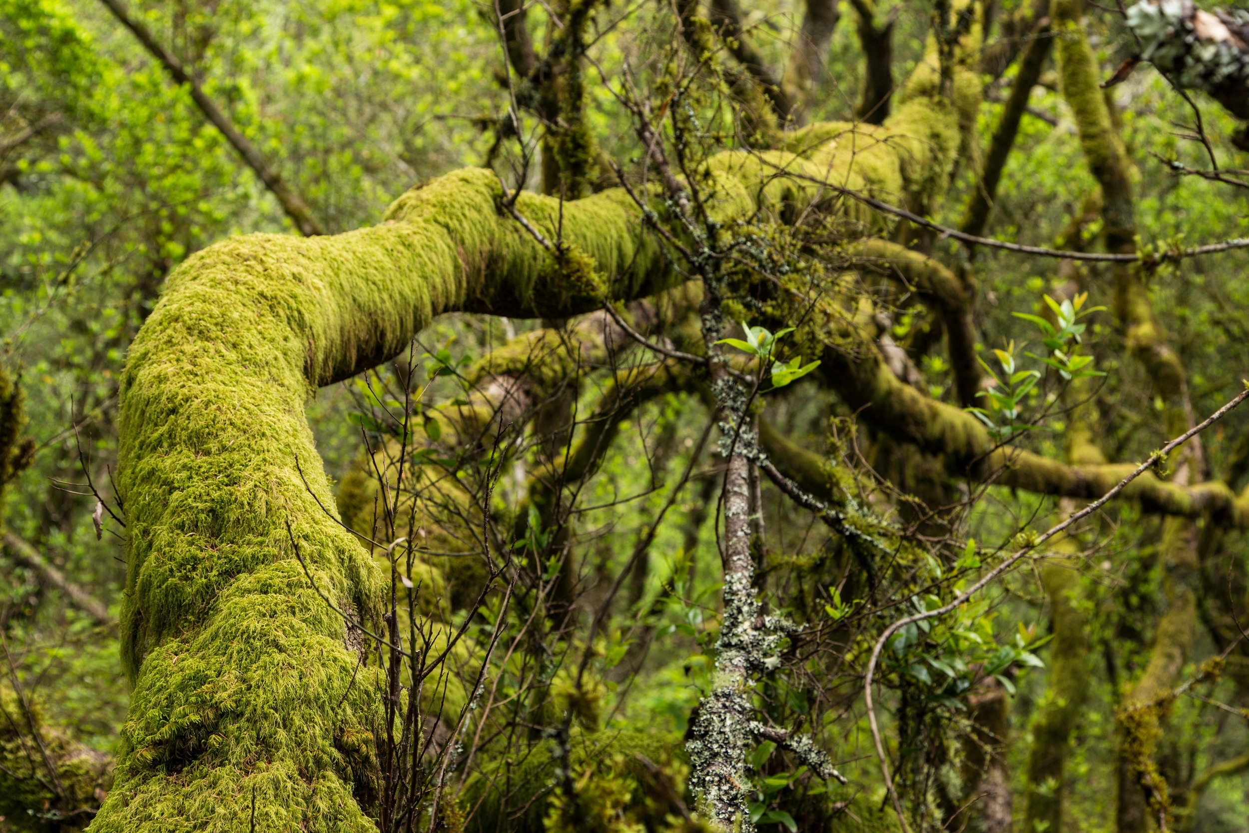
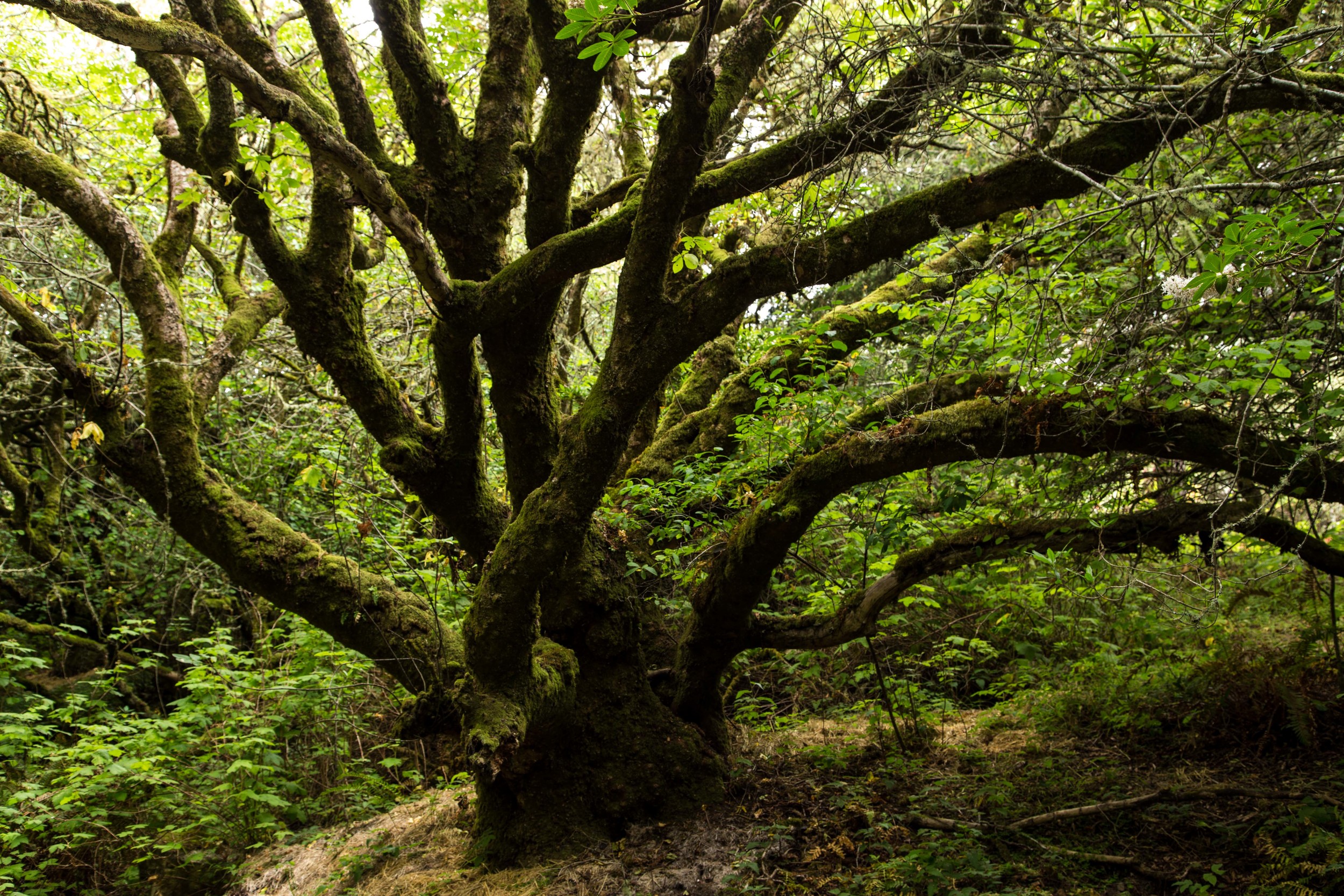
Past the redwood grove, the forest becomes vibrant and green again. Twisted moss covered bays and oaks tangle and dance with each other. Tufts of grass battle with ferns and ivy for ground supremacy. Moss and lichen add more depth and character to the trunks and branches. Odd shapes and contortions create mysterious illusions in the moss, and the lack of oxygen in your cells at this point of the climb contributes to an additional abstraction, as your brain works to coordinate muscular function. Take a break and stay hydrated. Soak up the air, which is filled with the molecules of defensive weaponry put off by the trees. These molecules stimulate the production of NK (Natural Killer) white blood cells, which help fight cancer in our bodies. 

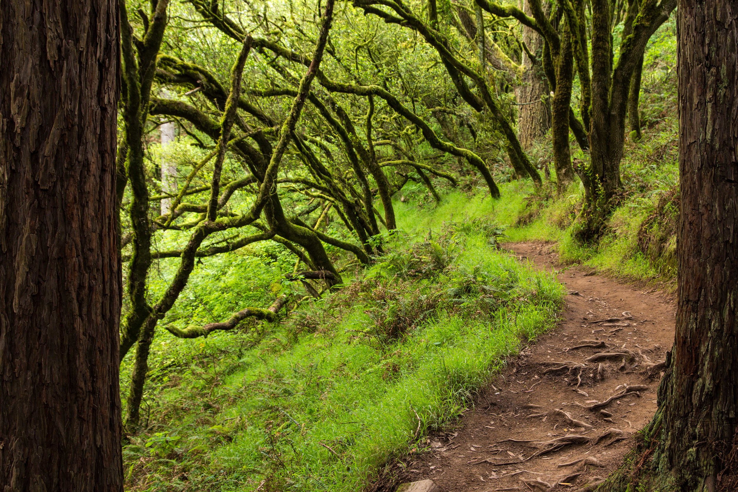
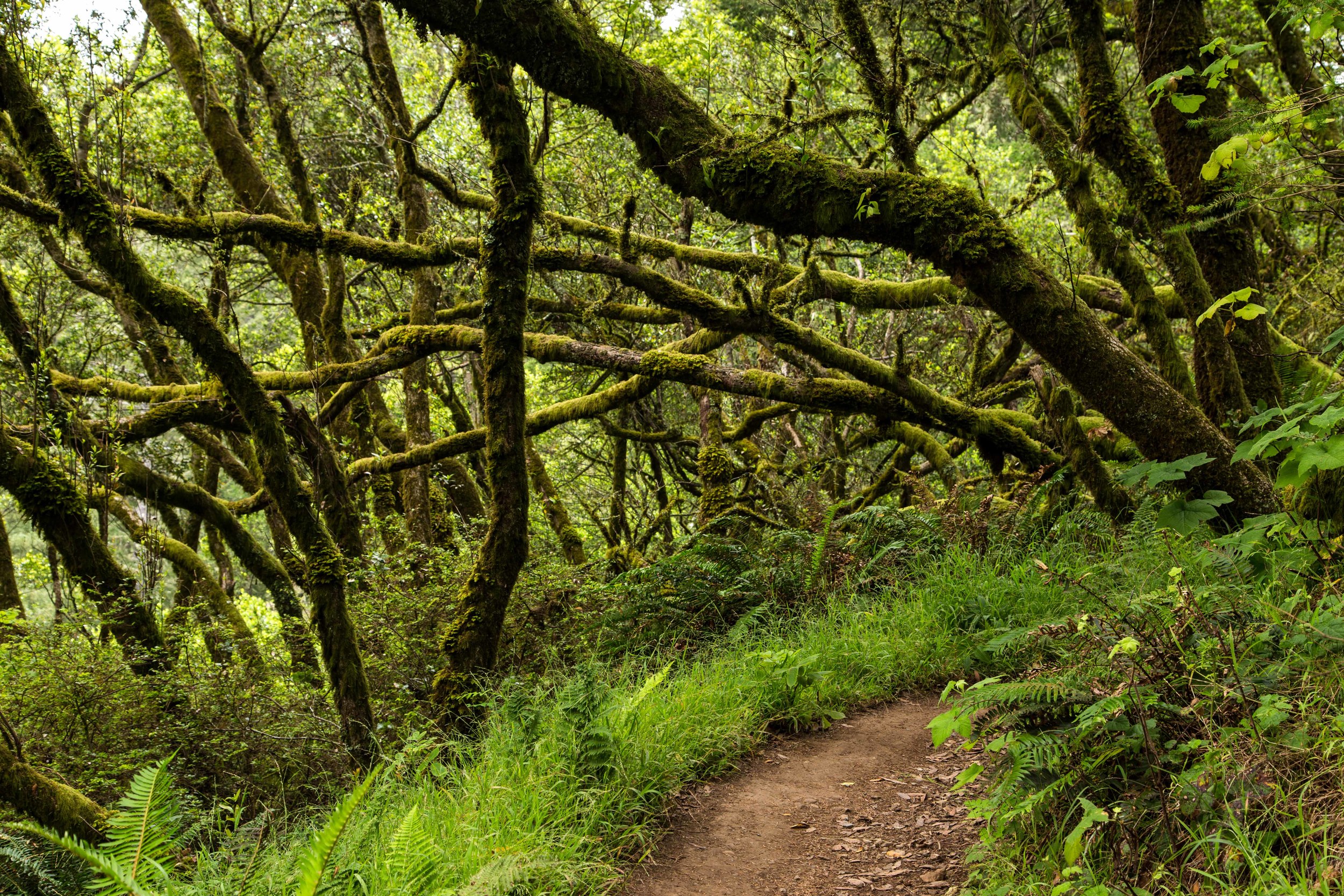
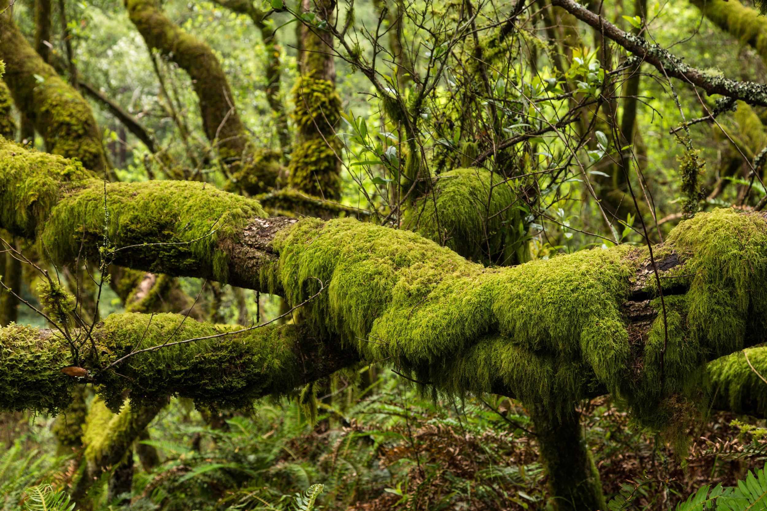
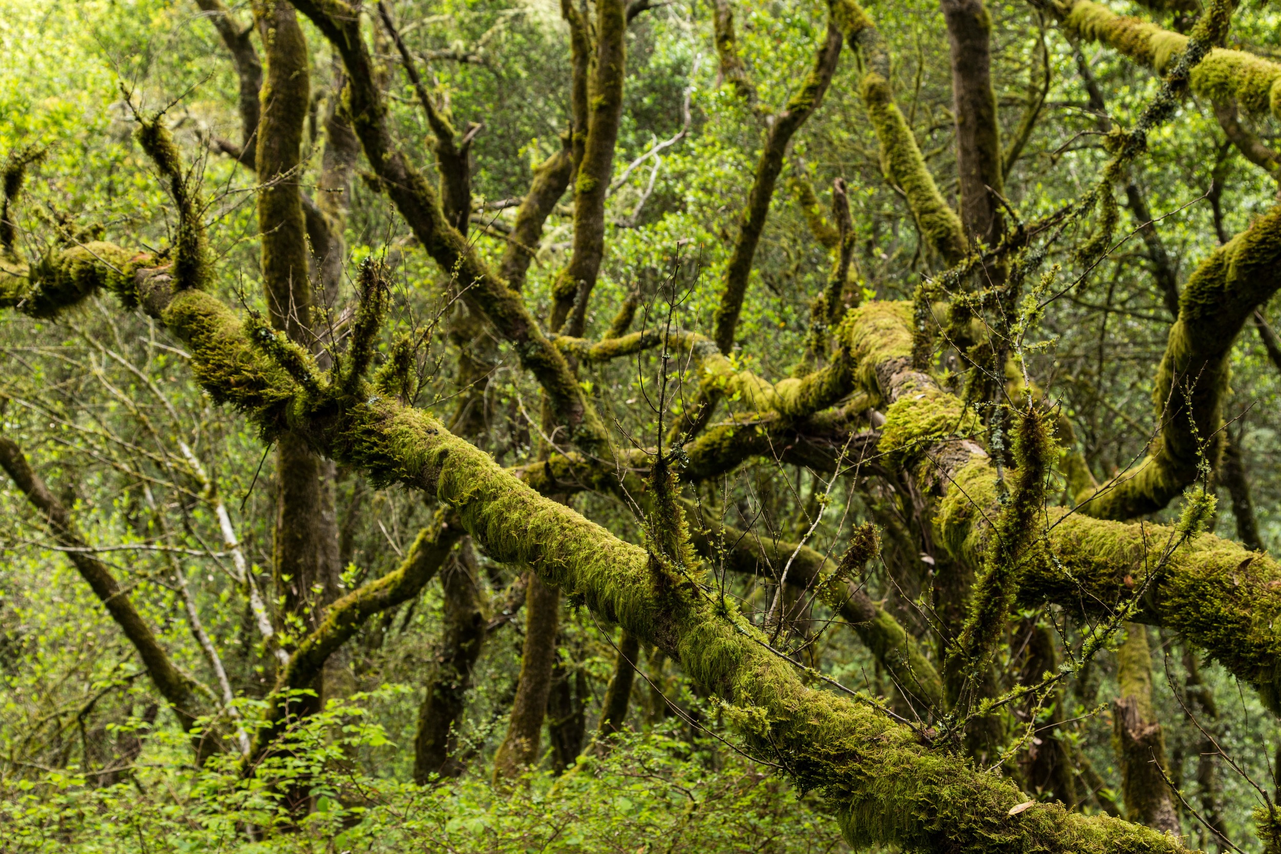
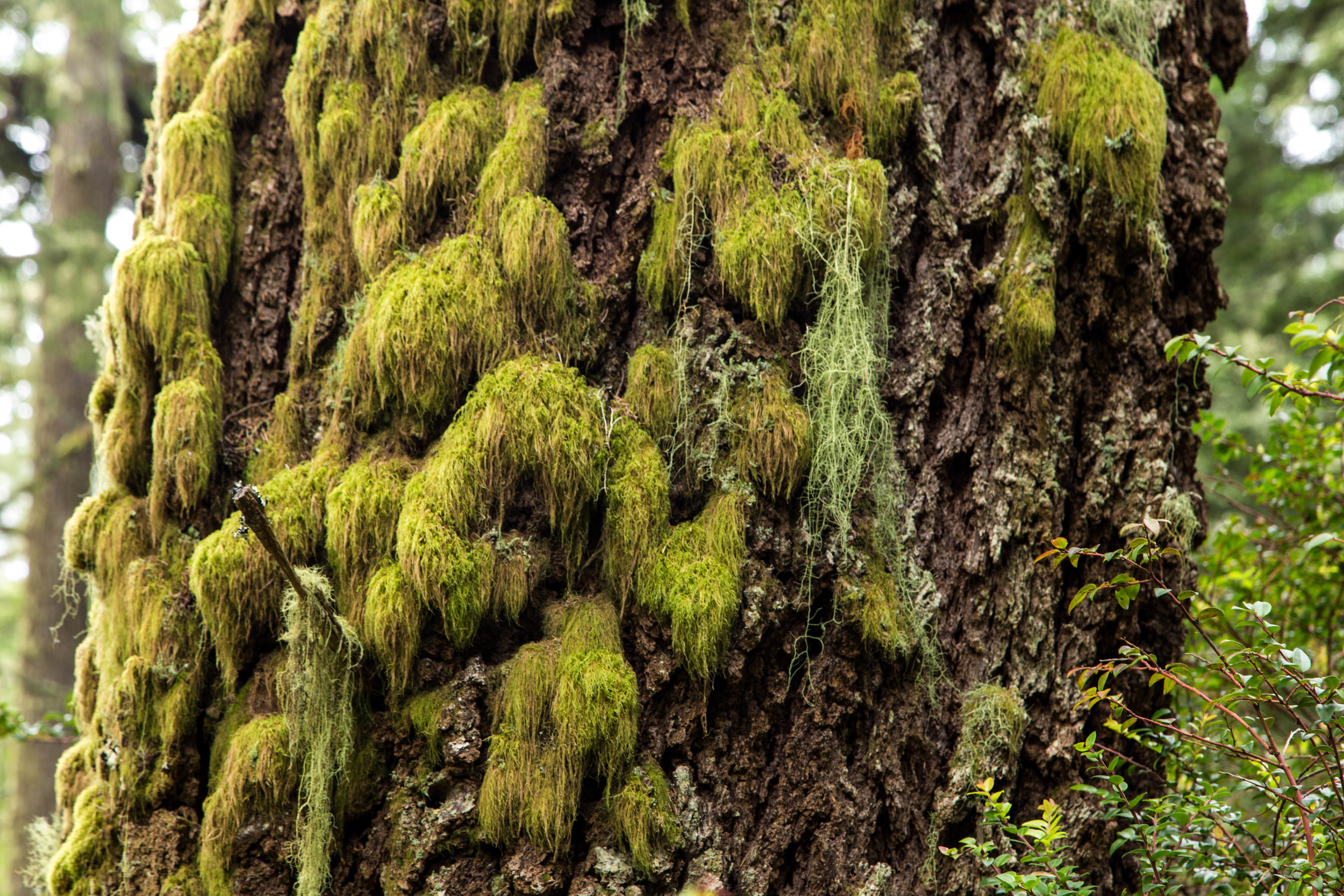
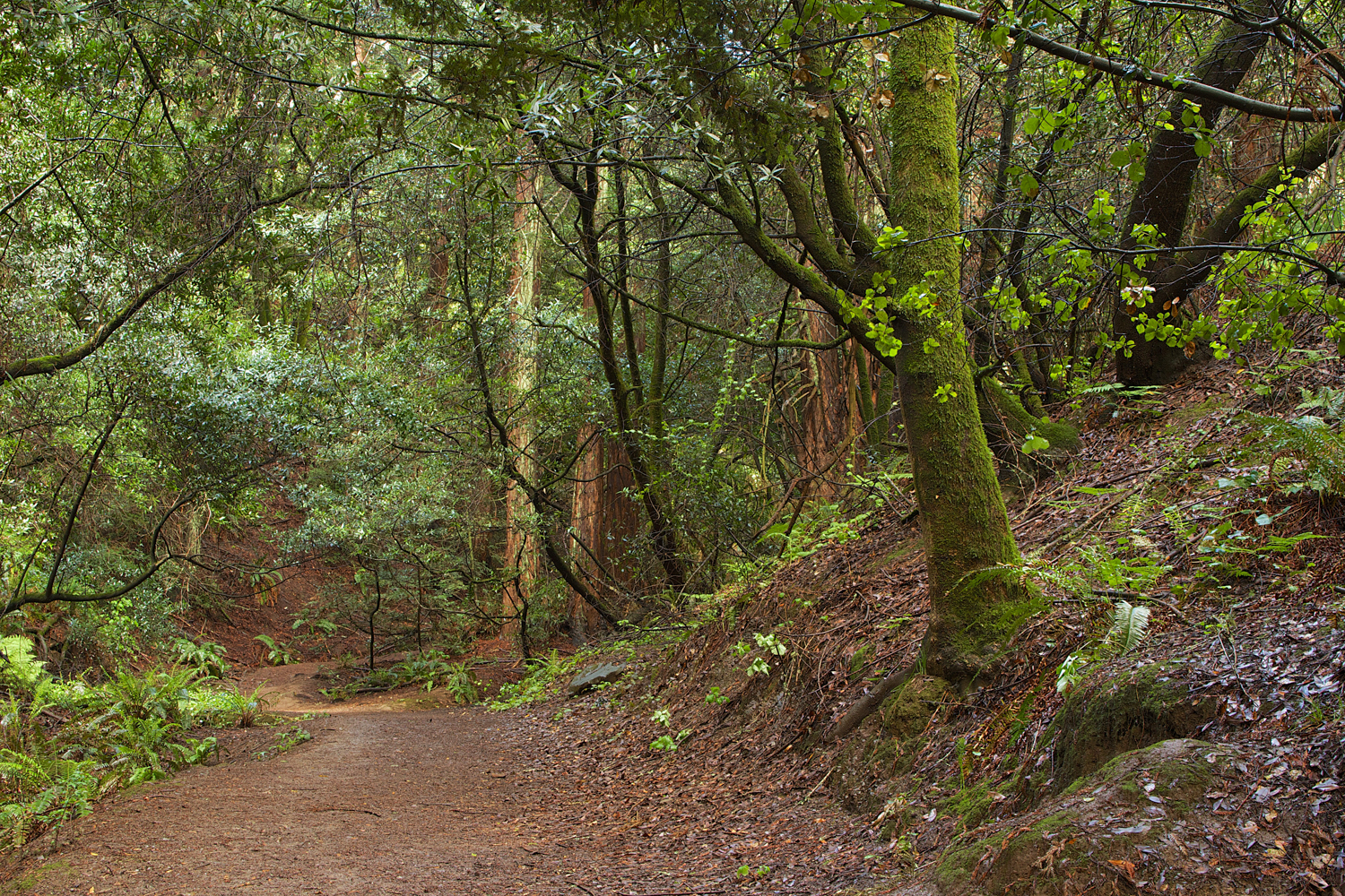
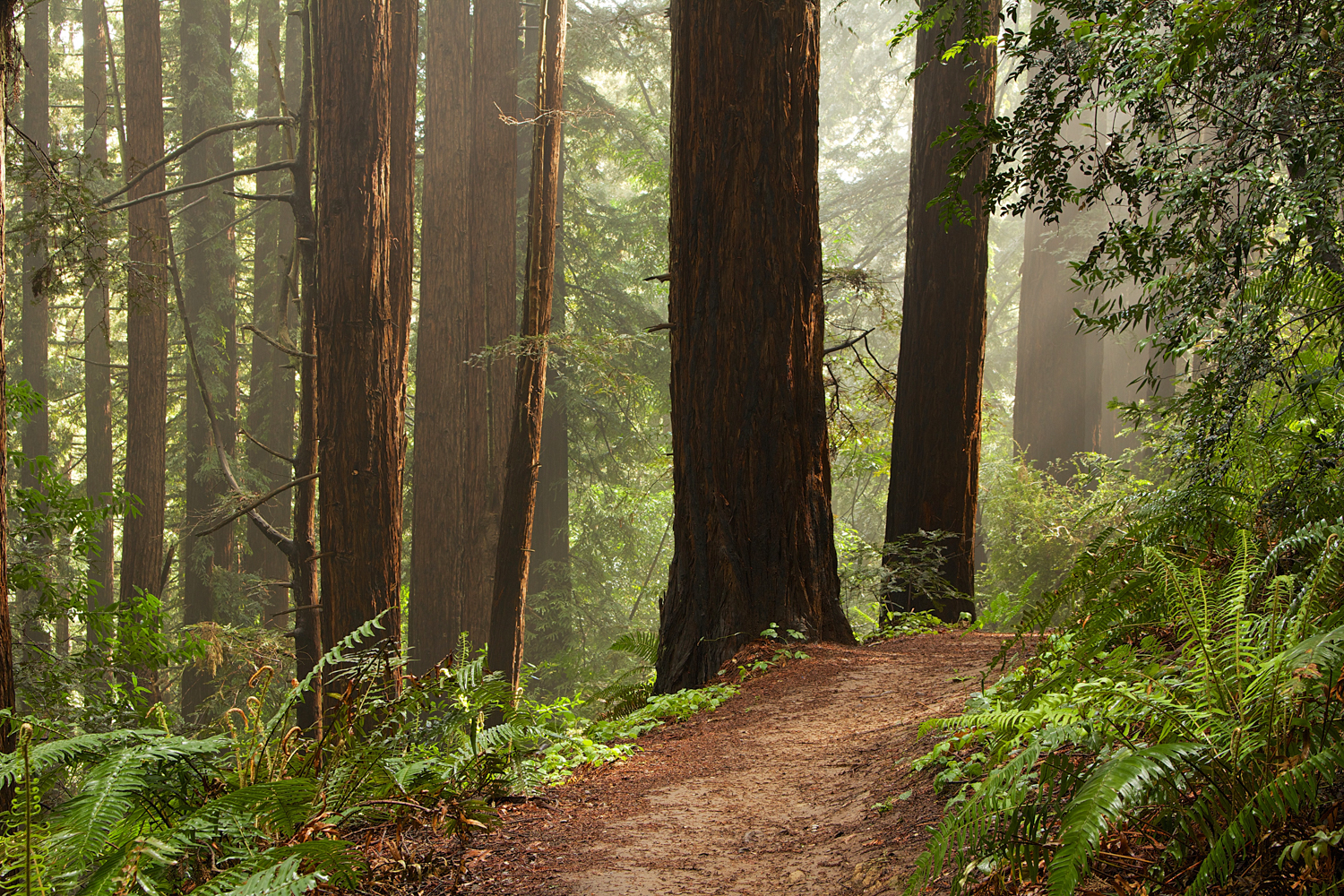
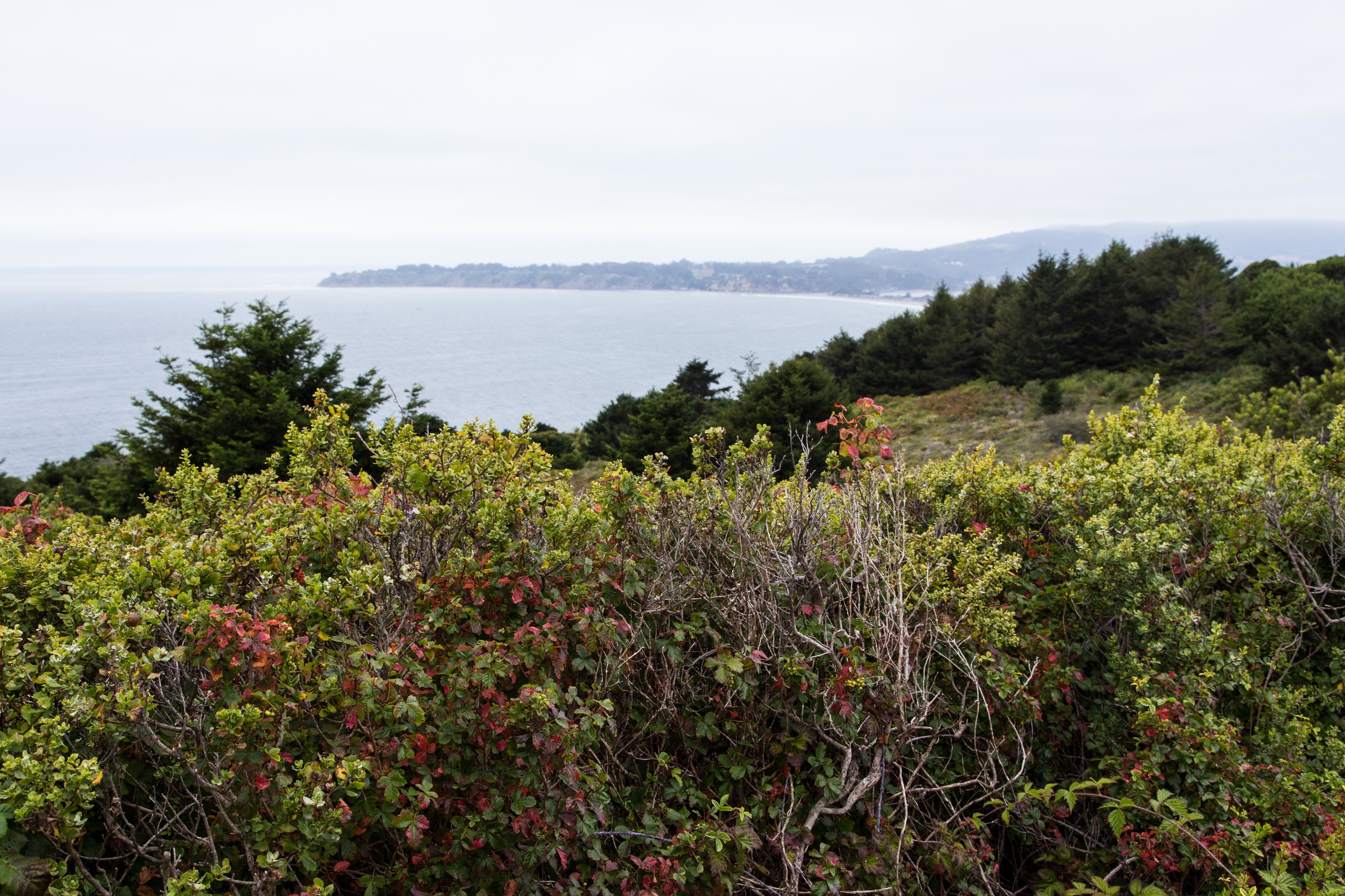
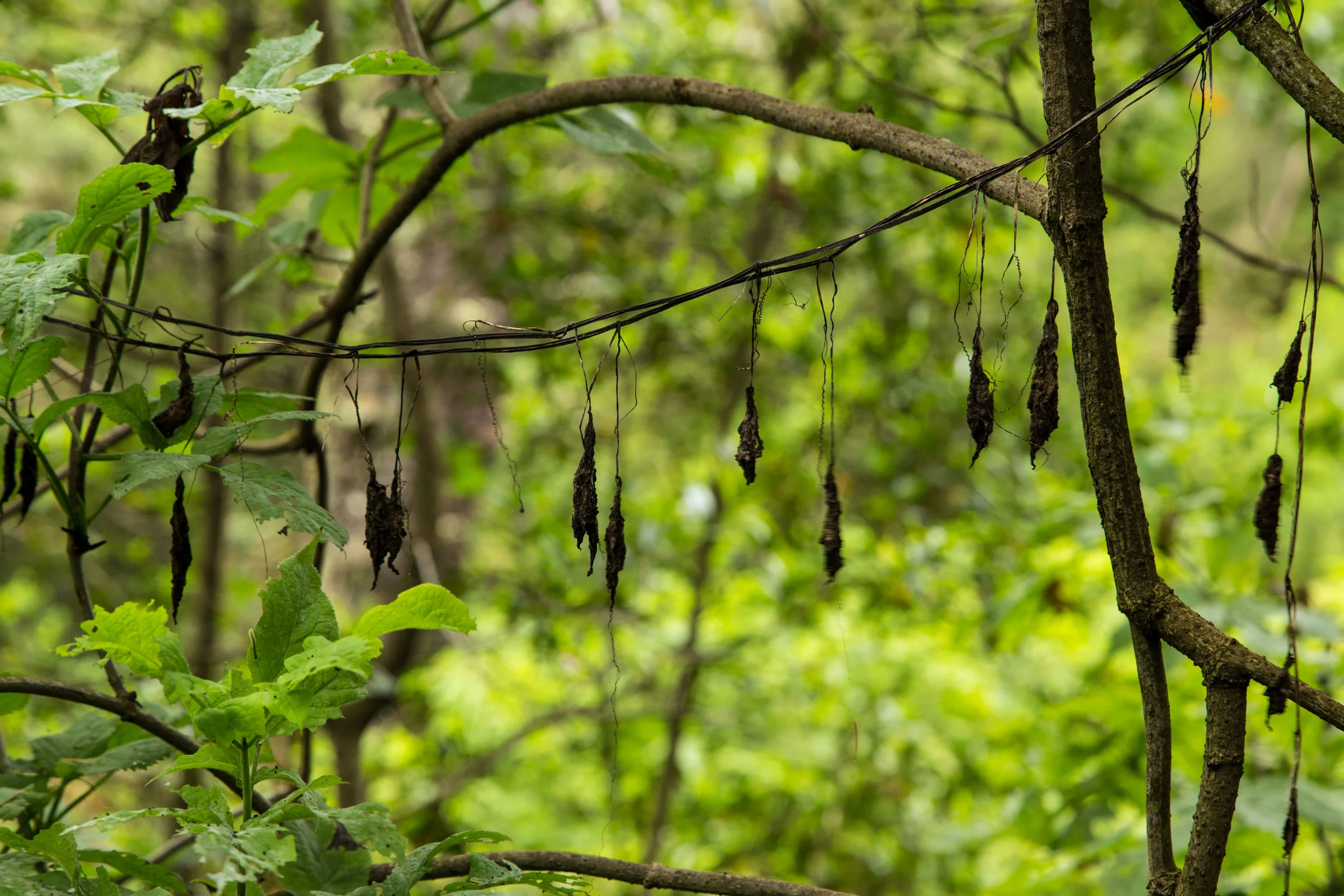
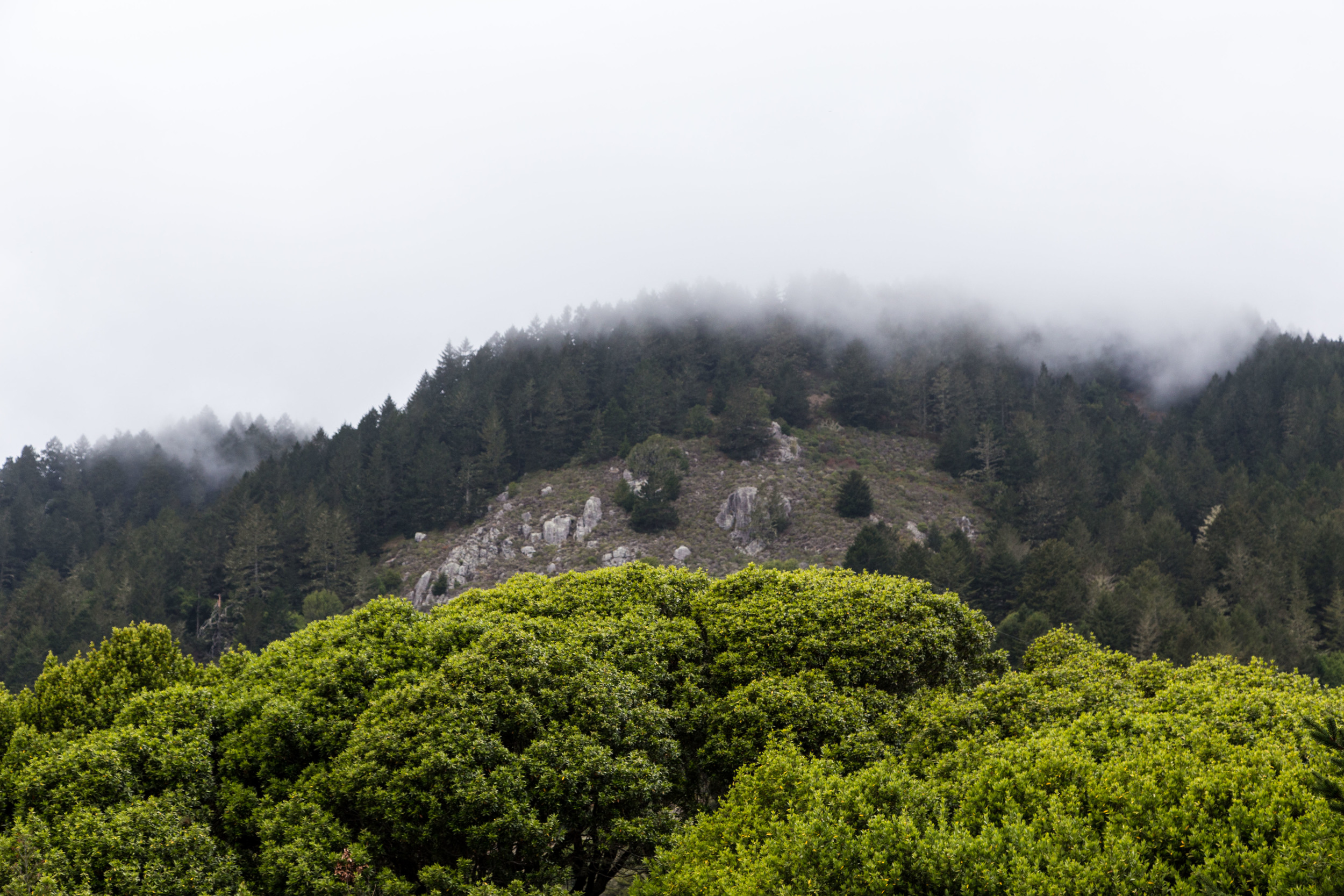
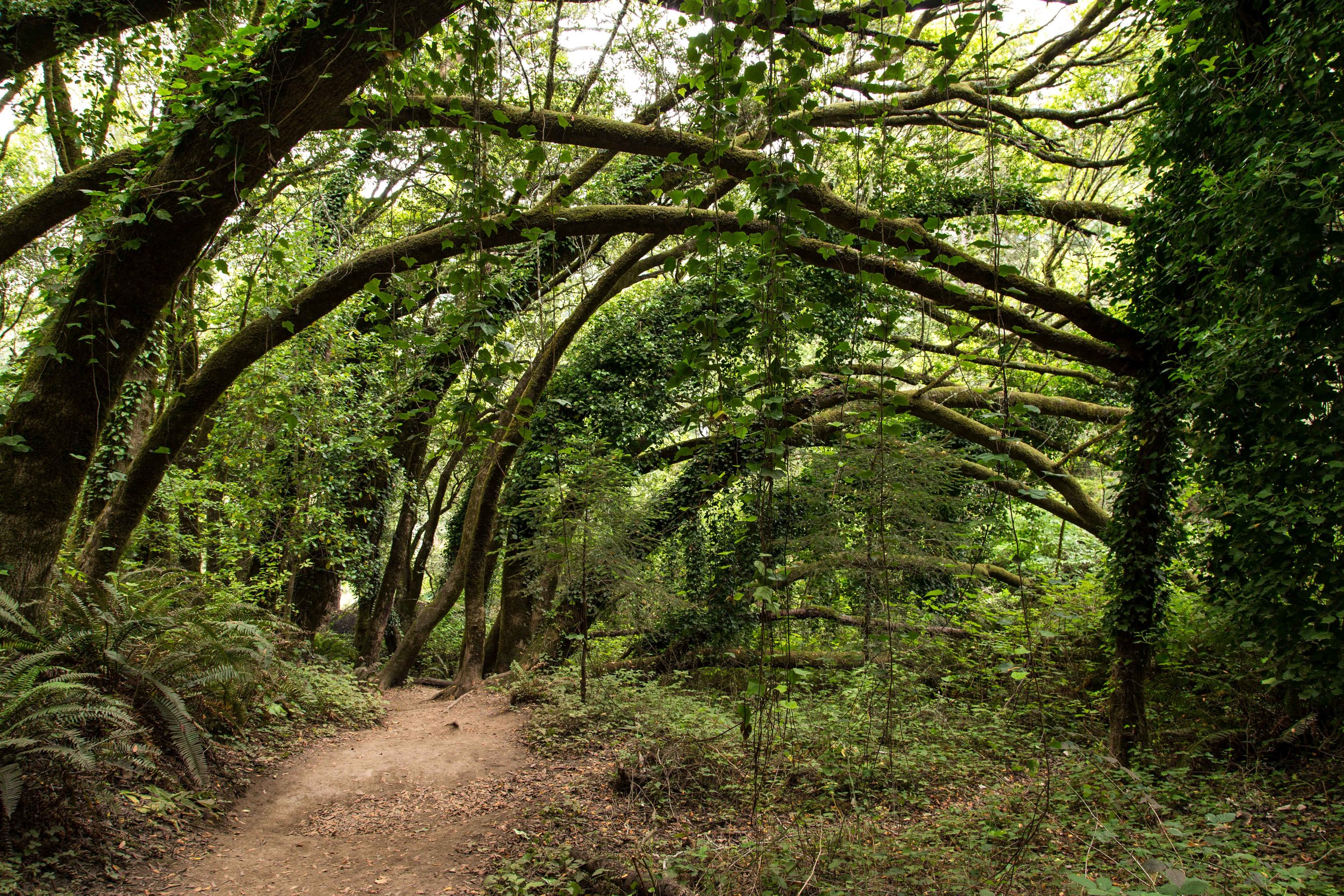
Approaching the last wooded section before the trail opens up again, the trees and branches become even more verdant and twisted. In the winter, the moss gets a steady diet of mist and rain. Draping lichen hangs like nature's laundry, and little sentries seem to be dancing on outstretched branches. All around, the trees reach and twist, adjusting to the endless ocean breeze and often sheltered from a searing California sun by a rejuvenating coastal fog. 

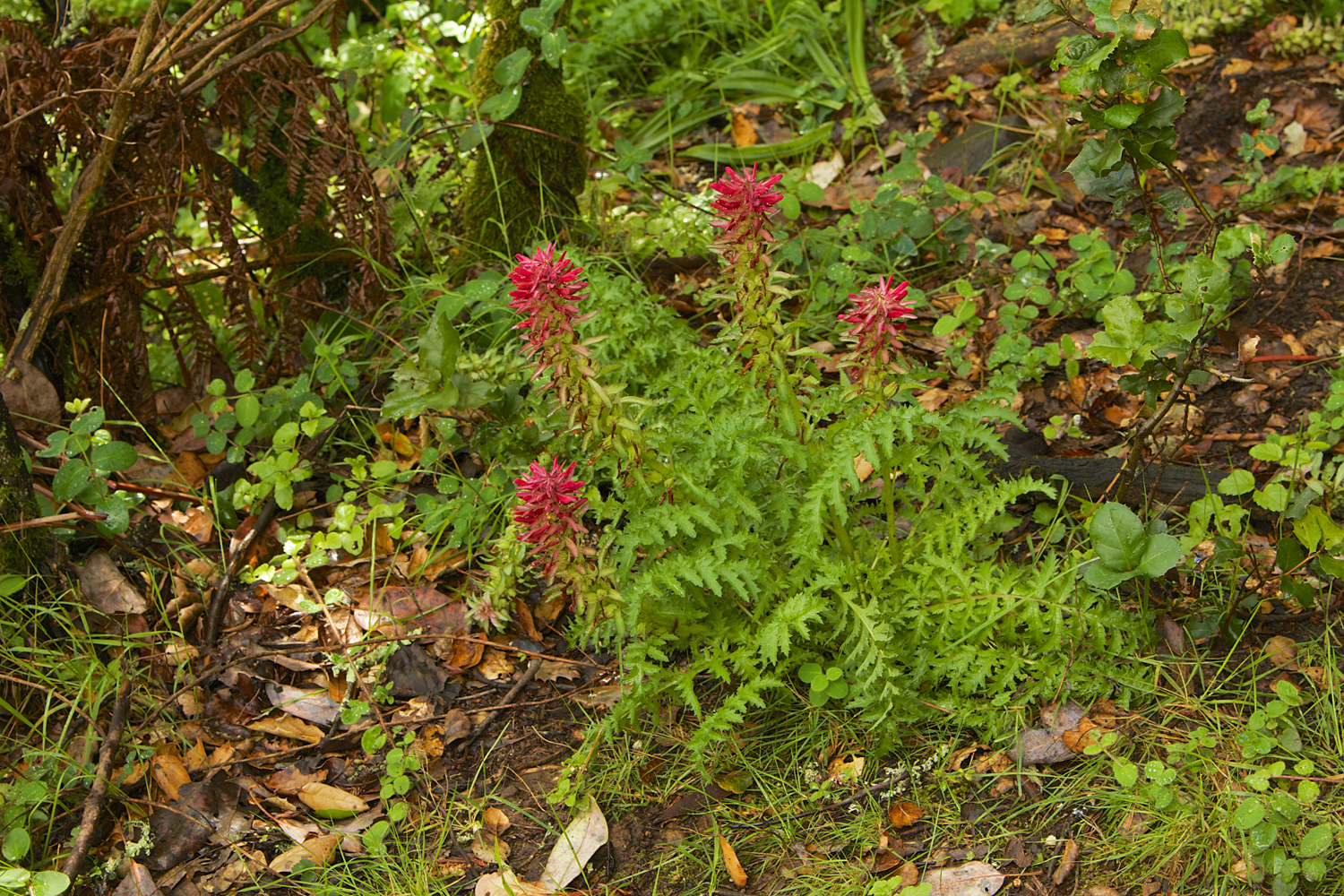
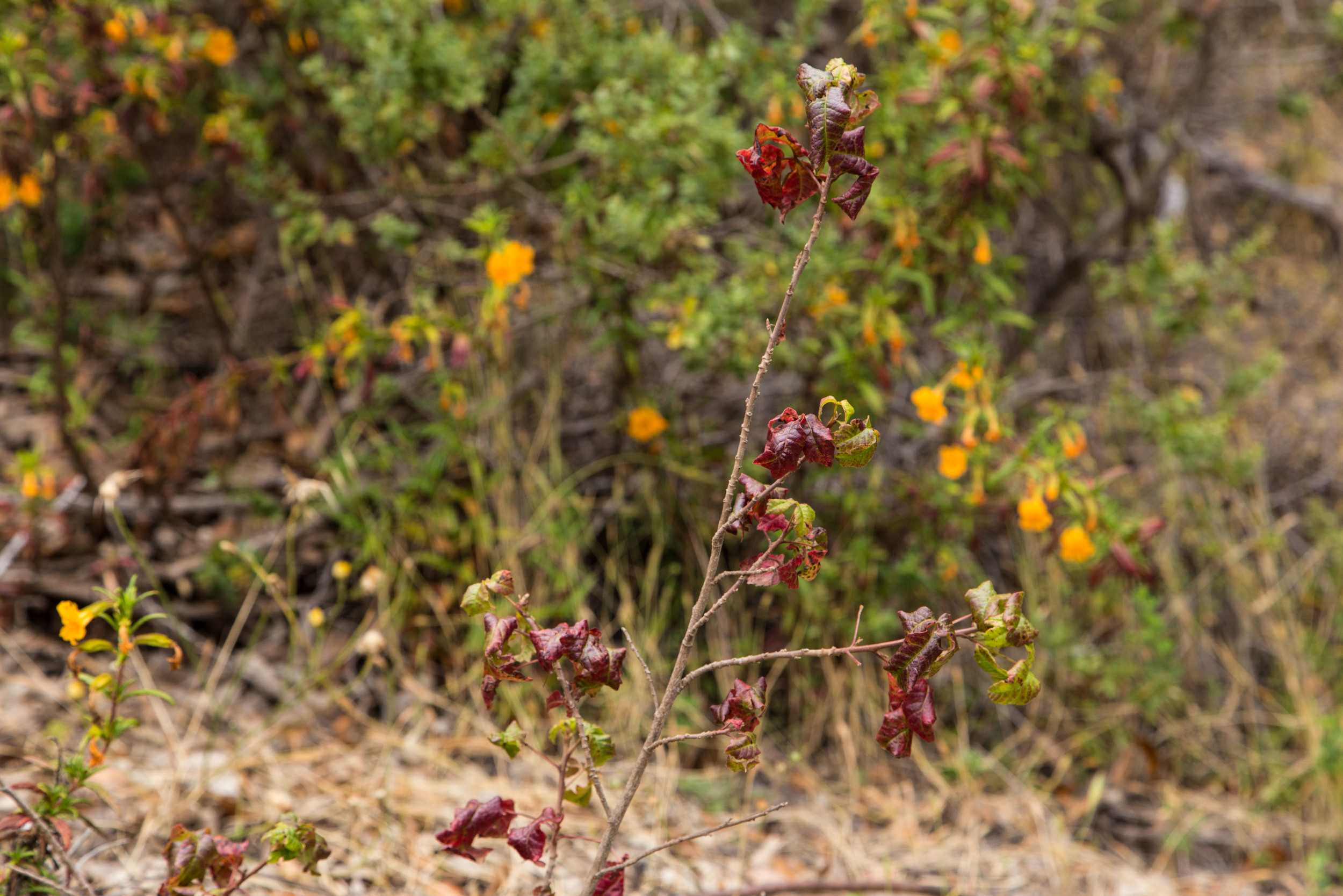
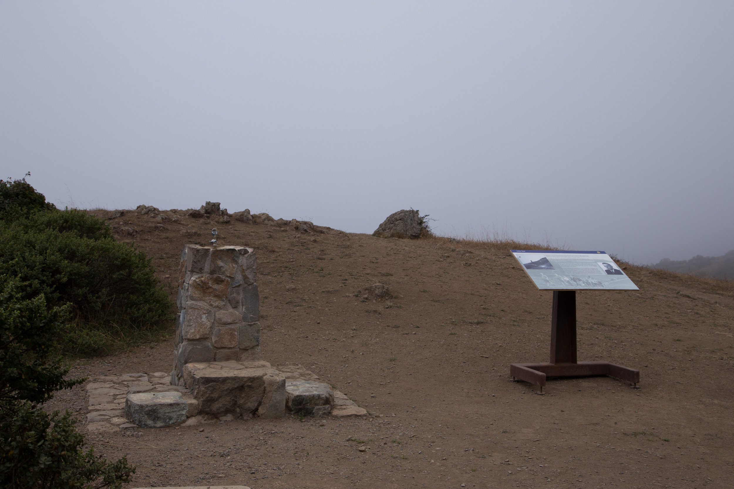
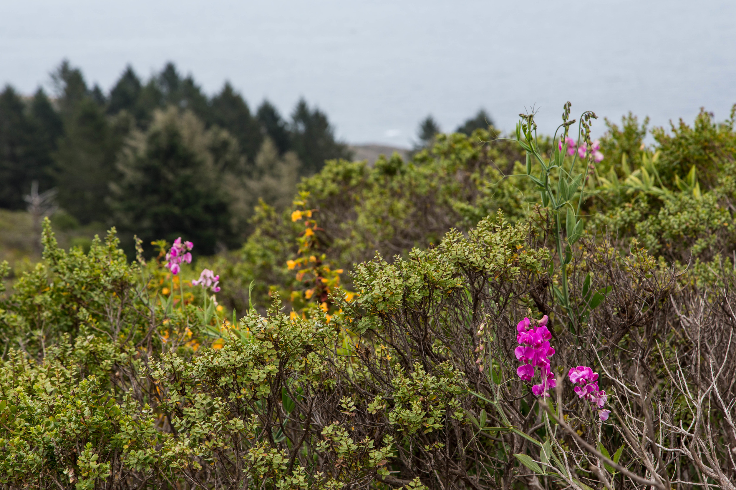
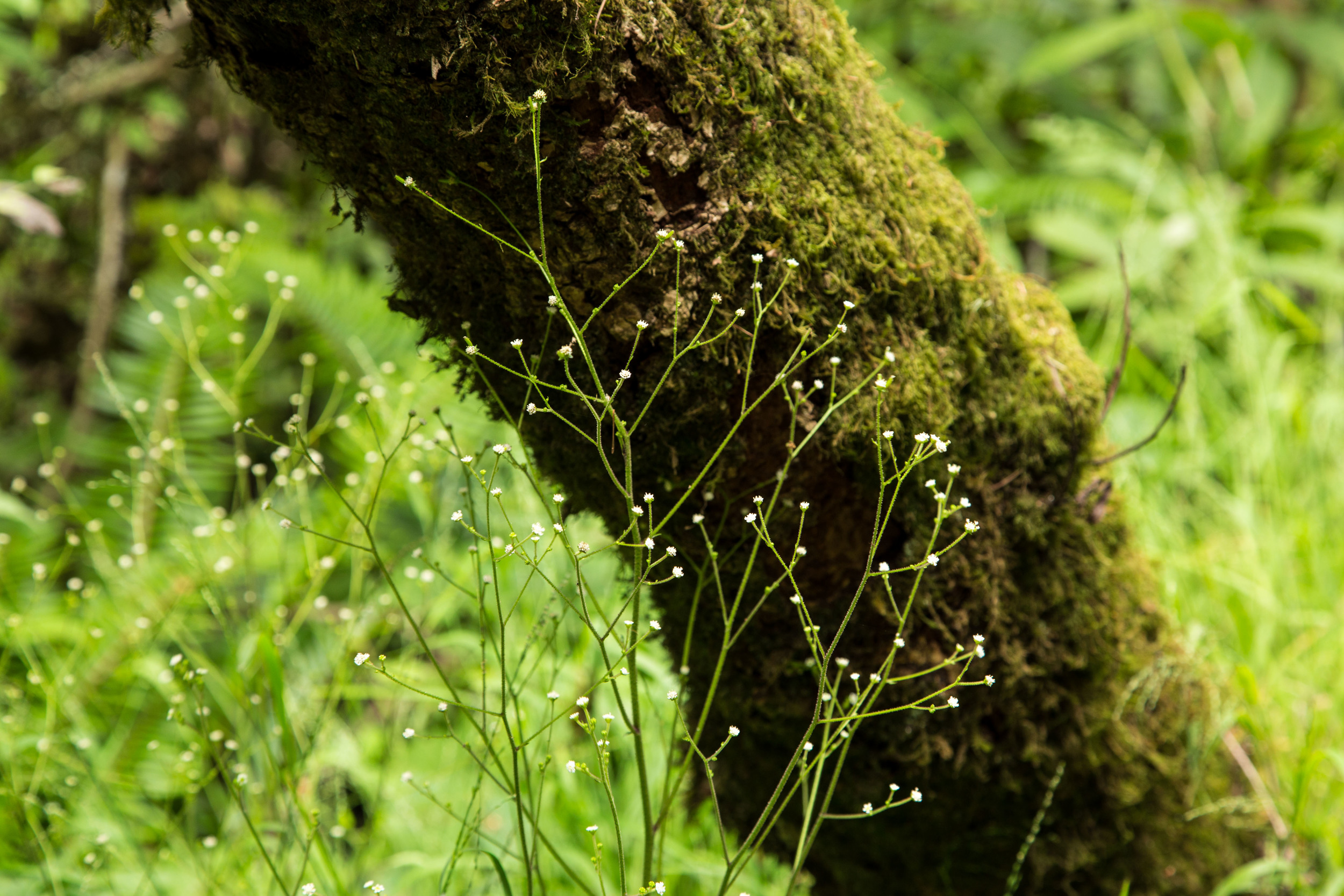
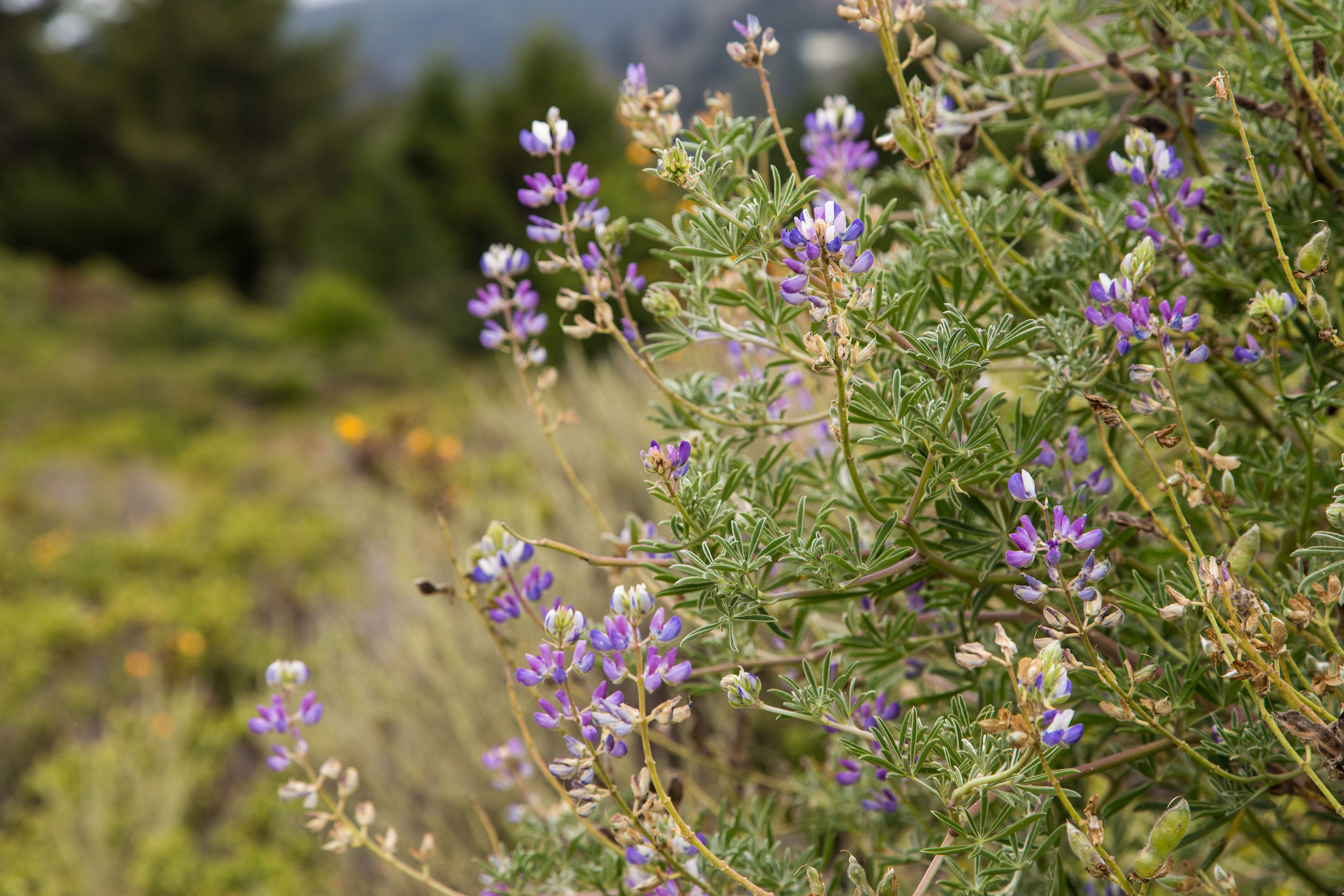
The last stretch of trail before opens up to more views of the coast. The mist sustains the flowers that bloom here even in June, during the fourth year of a drought. At Cardiac Hill, an interpretive display describes the history of the Dipsea Trail and race. The working water fountain is surprising to see, and fresh water saves me from sipping the flat bland water in my Camelbak. 

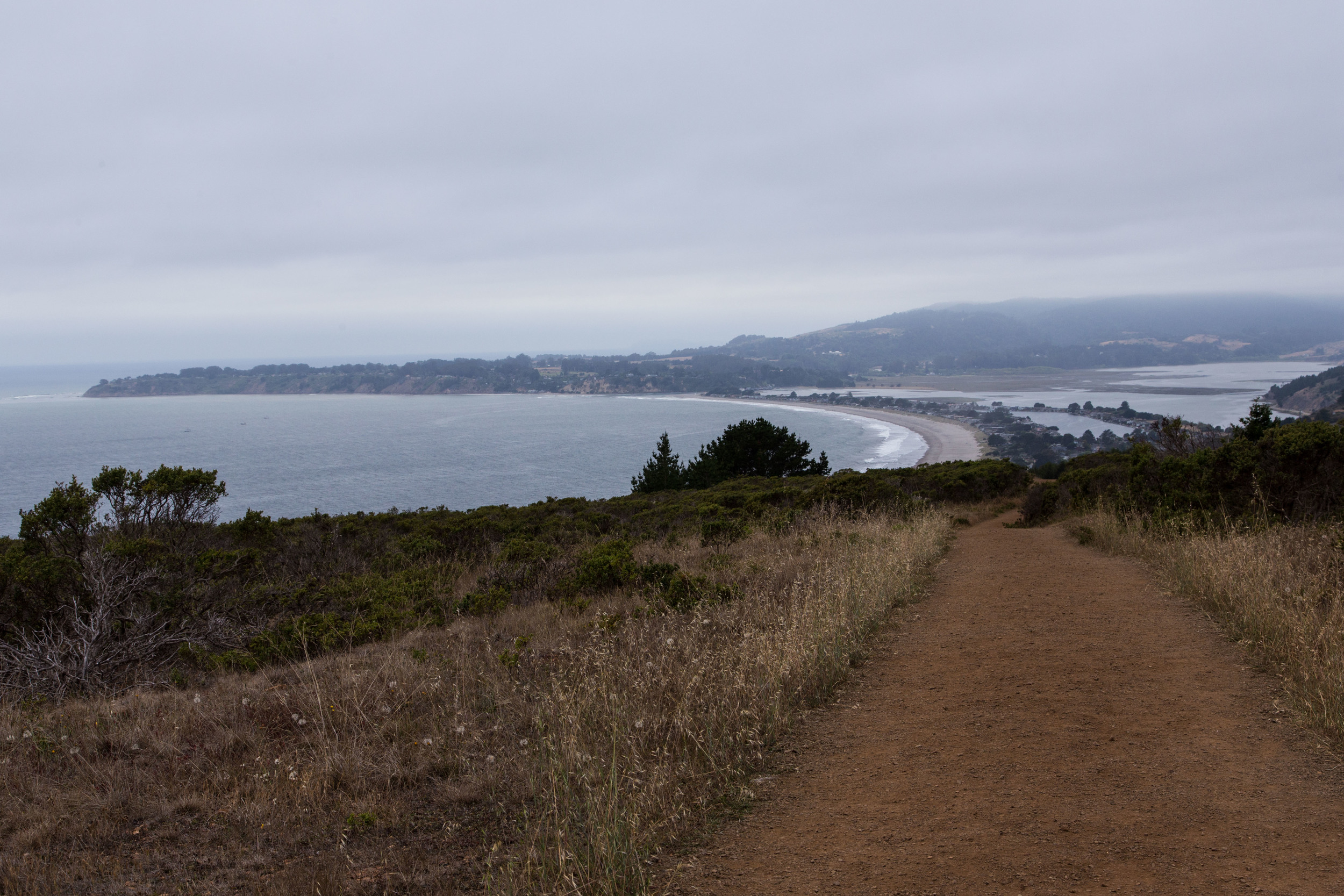
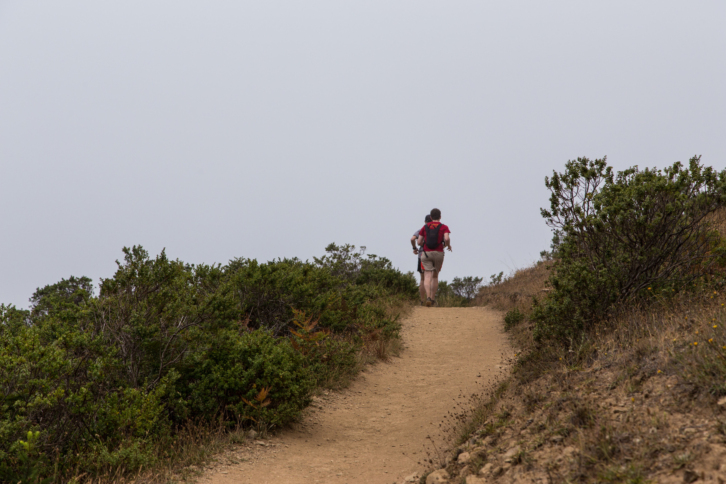
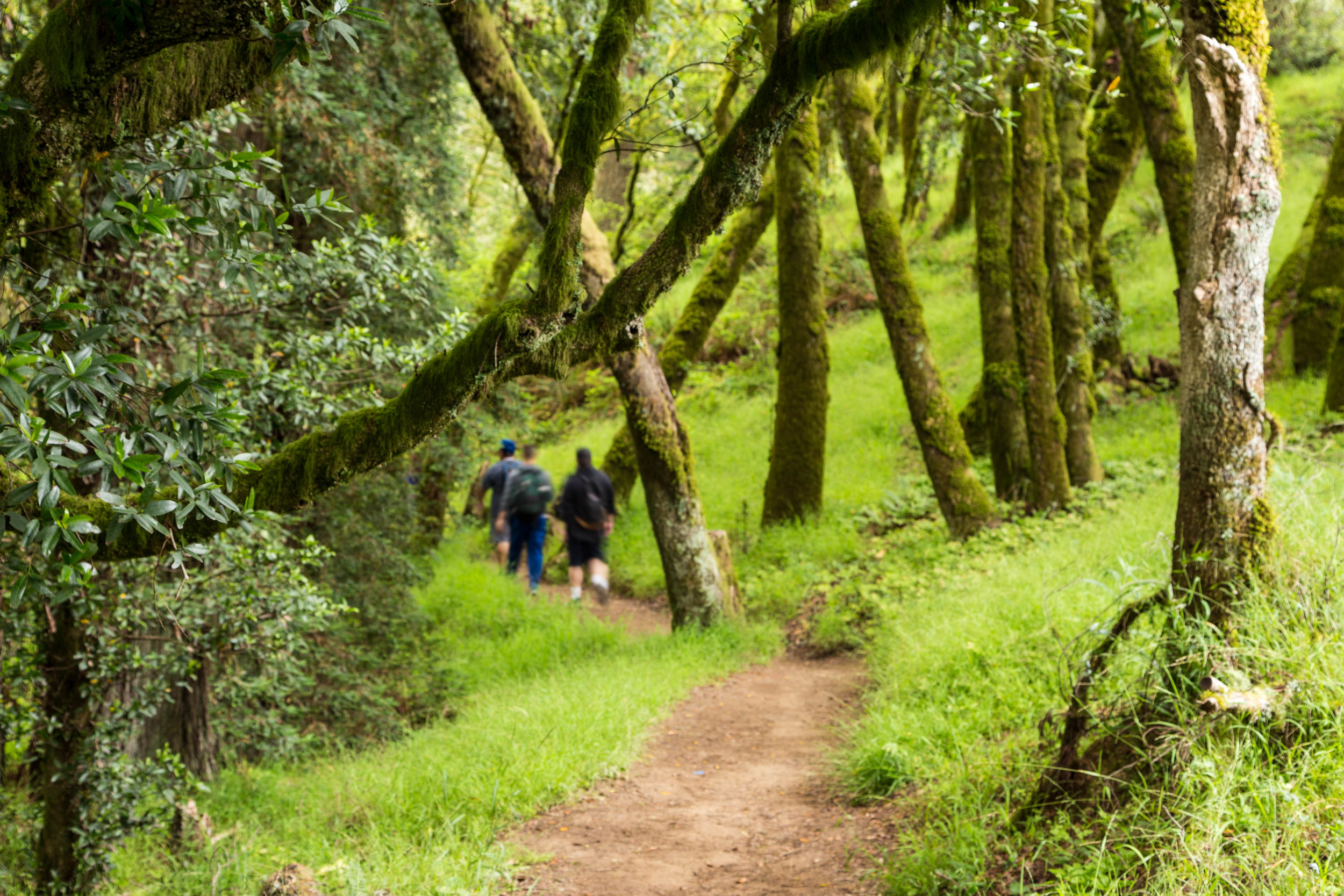
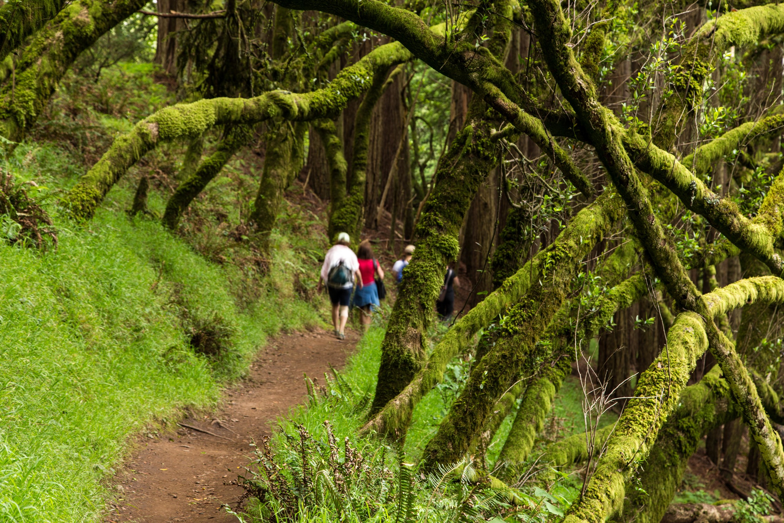
From here, there are many hiking options. The Dipsea Trail continues on to Muir Woods National Monument, and other trails at this intersection offer interesting alternatives. For this hike, I turned around and returned to the Dipsea Trail, and headed for Stinson Beach. As the day progresses, these trails get progressively more populated with hikers and runners. Dipsea runners in training fly by on the downhill, bounding from rock to step to trail. The more experienced runners make it appear effortless. 

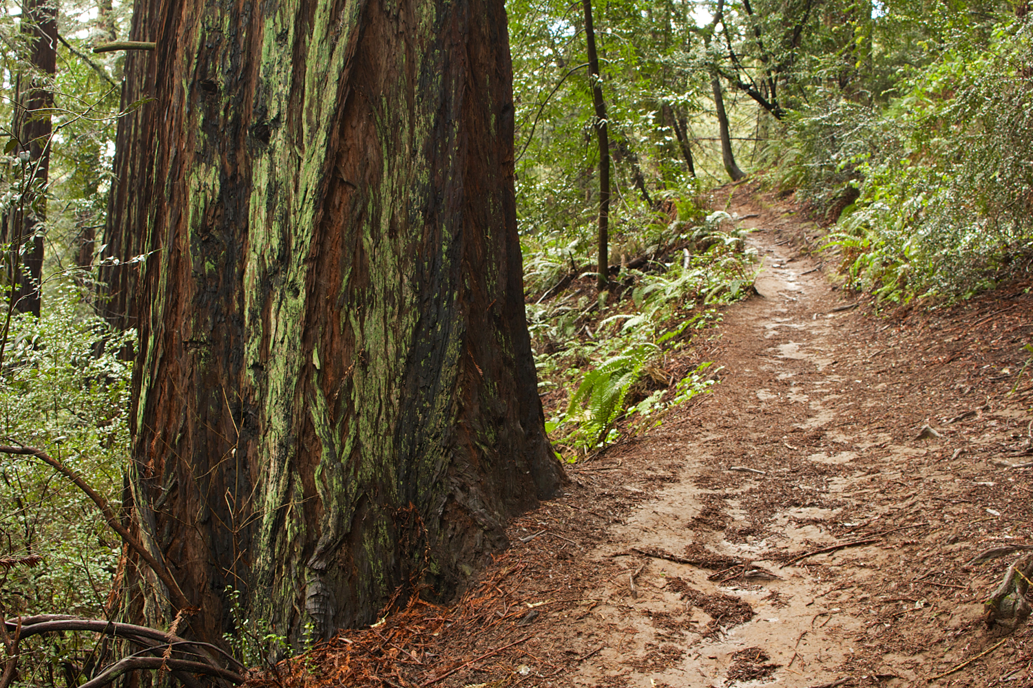
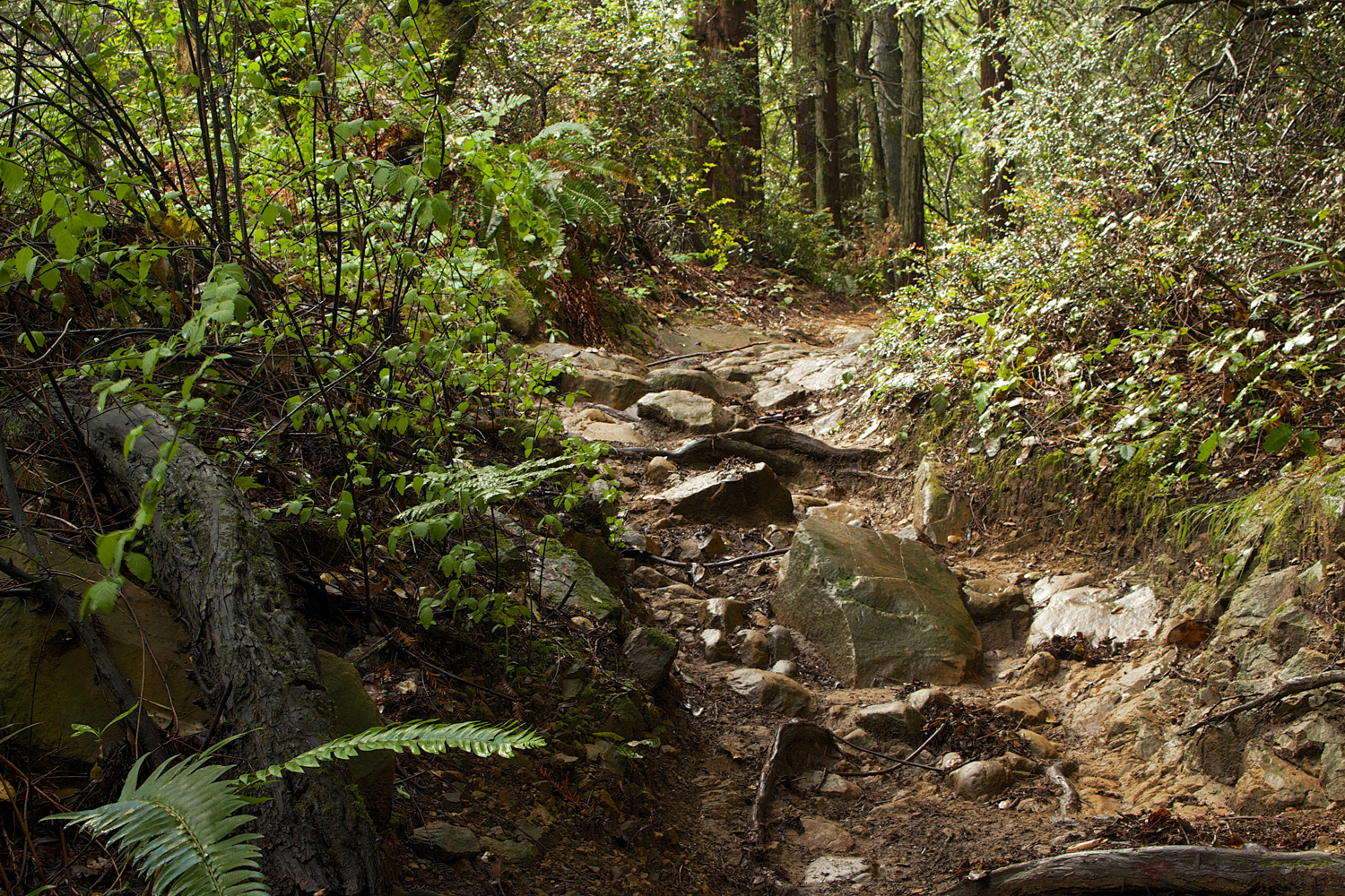
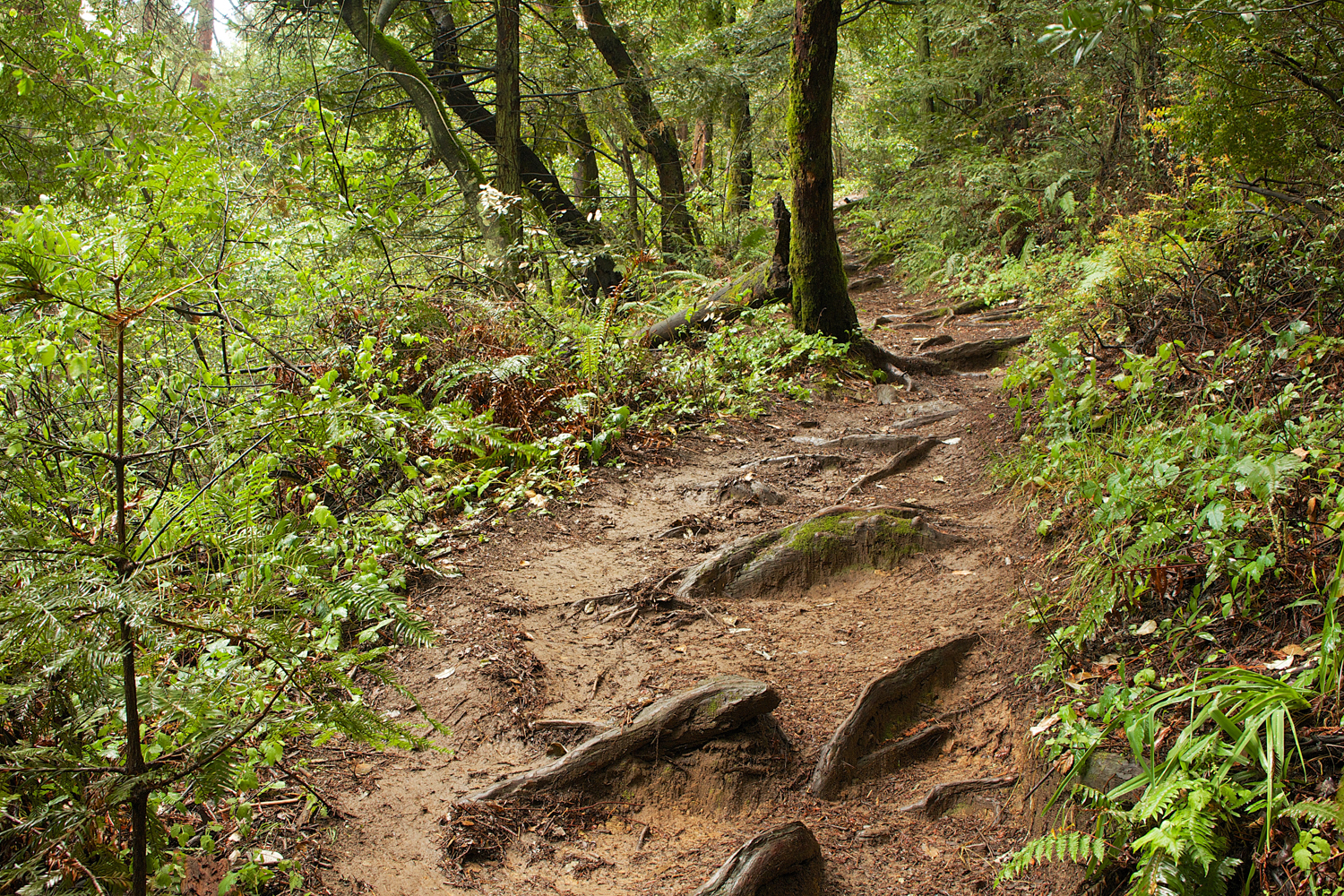
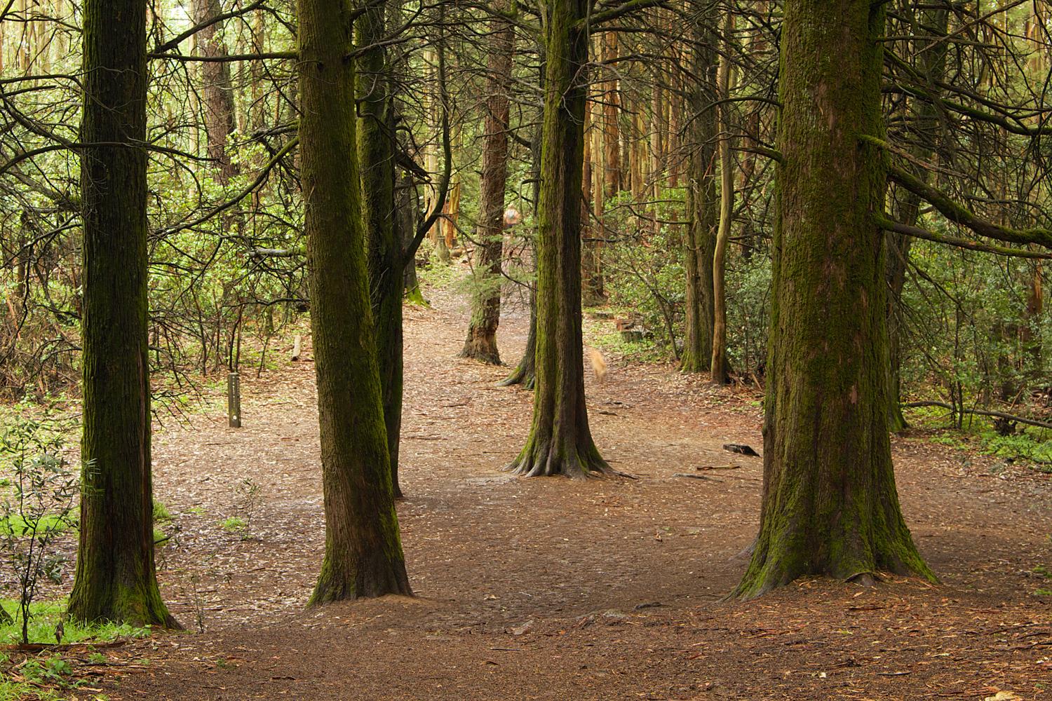
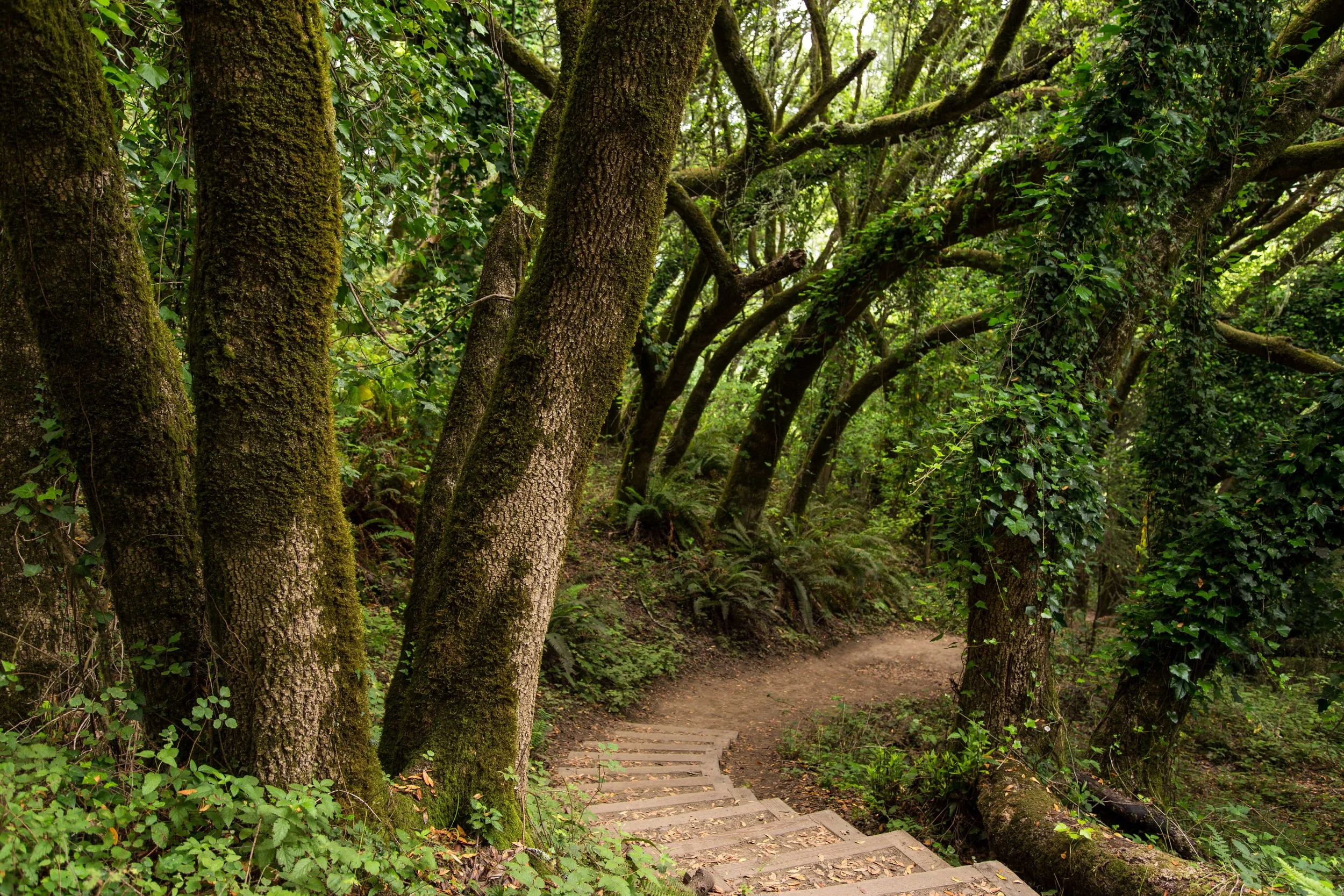
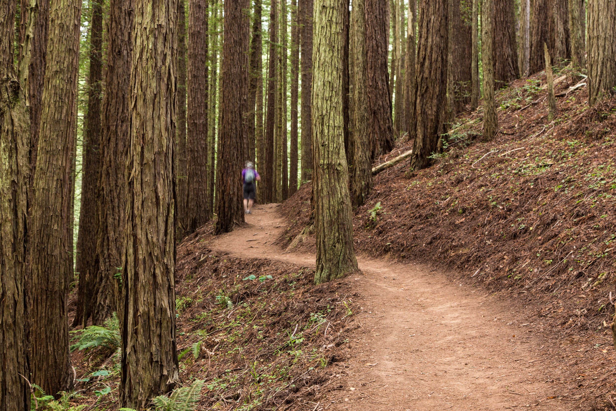
Returning to the canopy, the downhill is faster and easier. Things missed on the climb due to fatigue and visibility become more apparent. This is the view the Dipsea racers see as they descend. The steps start later. This part of the trail is still narrow single track. Roots and rocks on the path add additional obstacles to the runner and hiker. 

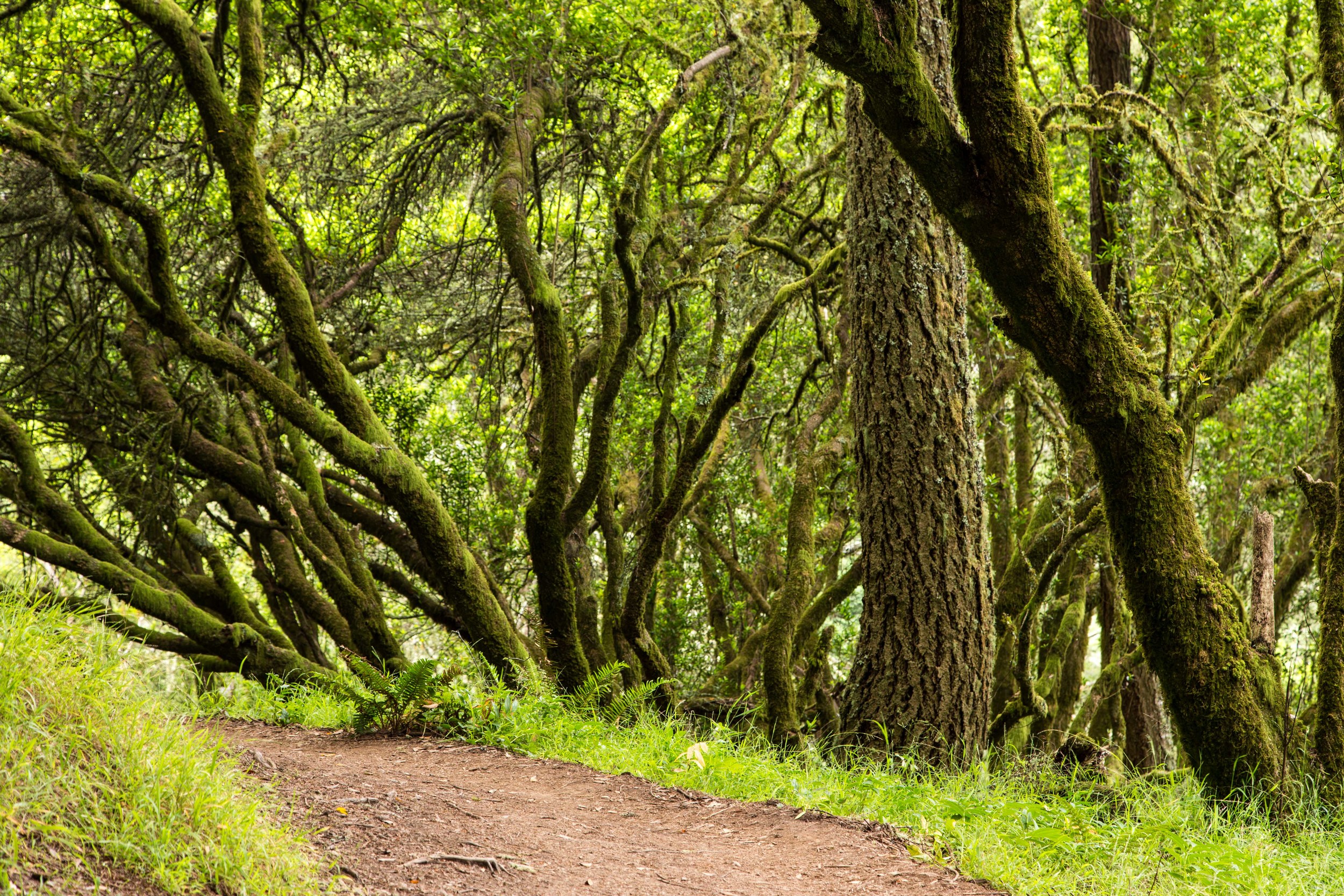
The descending elevation showcases the different topography. The weather, elevation and location each have an impact on the aesthetic display of the forest, and each is like a unique brush on the canvas of this hillside. 

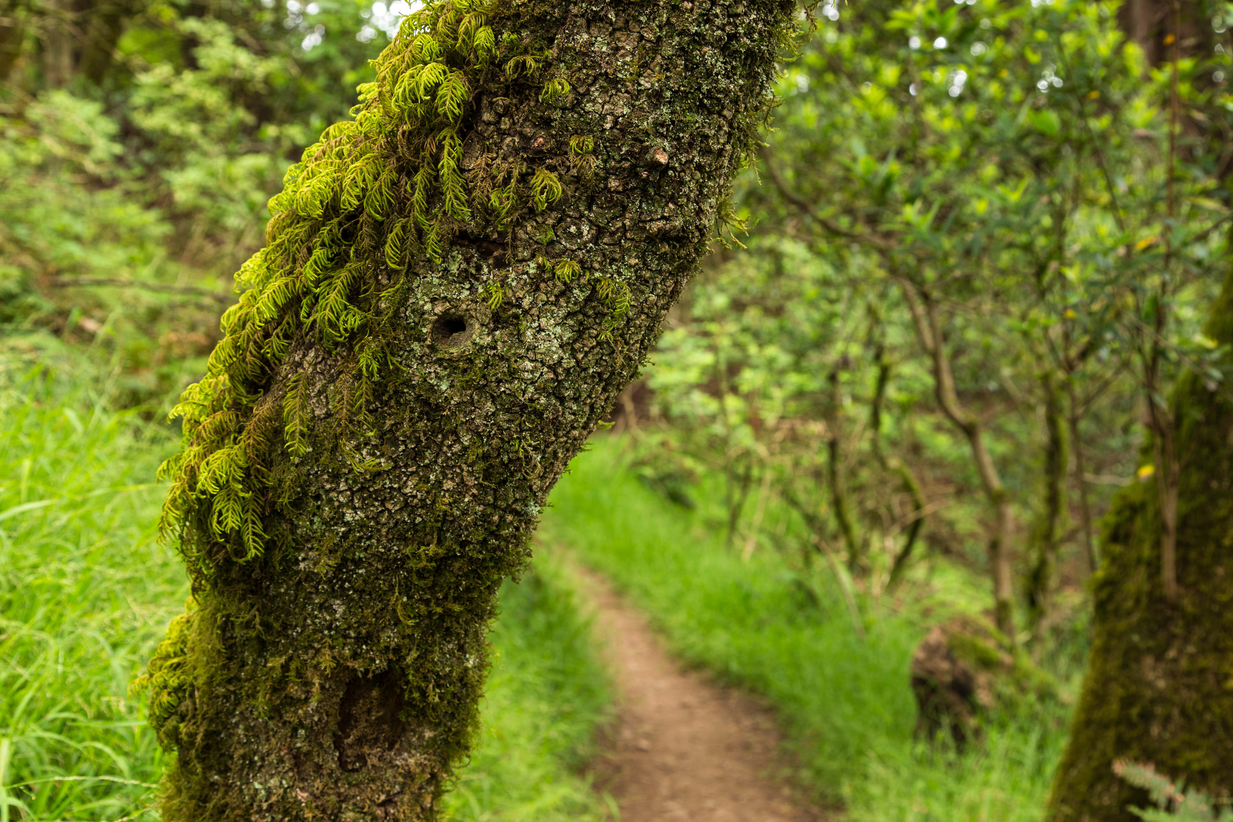
It's easy to overlook the elegant beauty of this forest due to the speed of the descent and the focus on observing the ankle twisting rocks, roots and steps. Pausing often and allowing time for observation and contemplation is a good idea. There is a free show going on all around you here. Take the time to appreciate the effortless beauty of nature. 

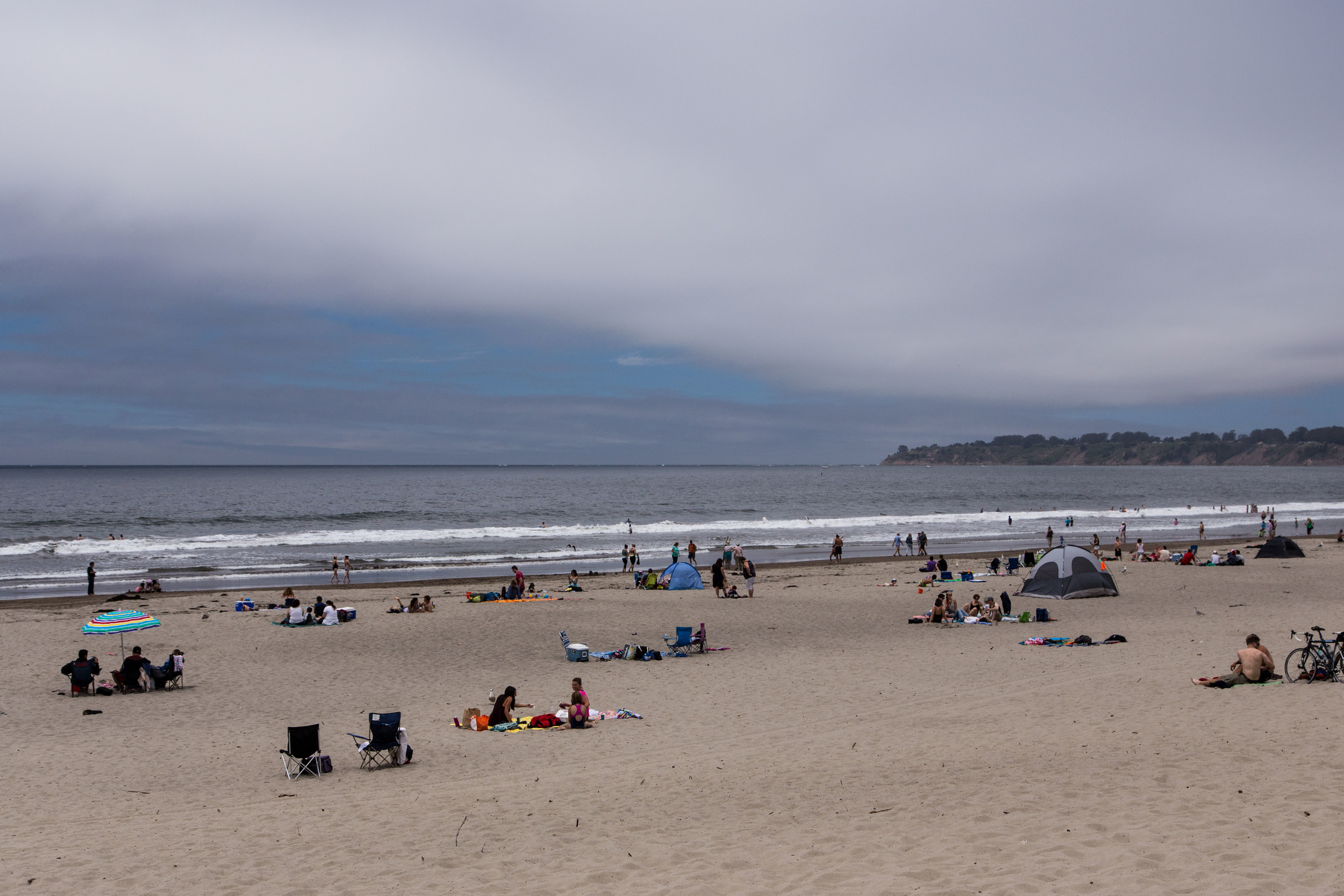
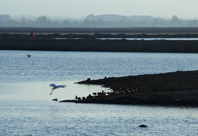
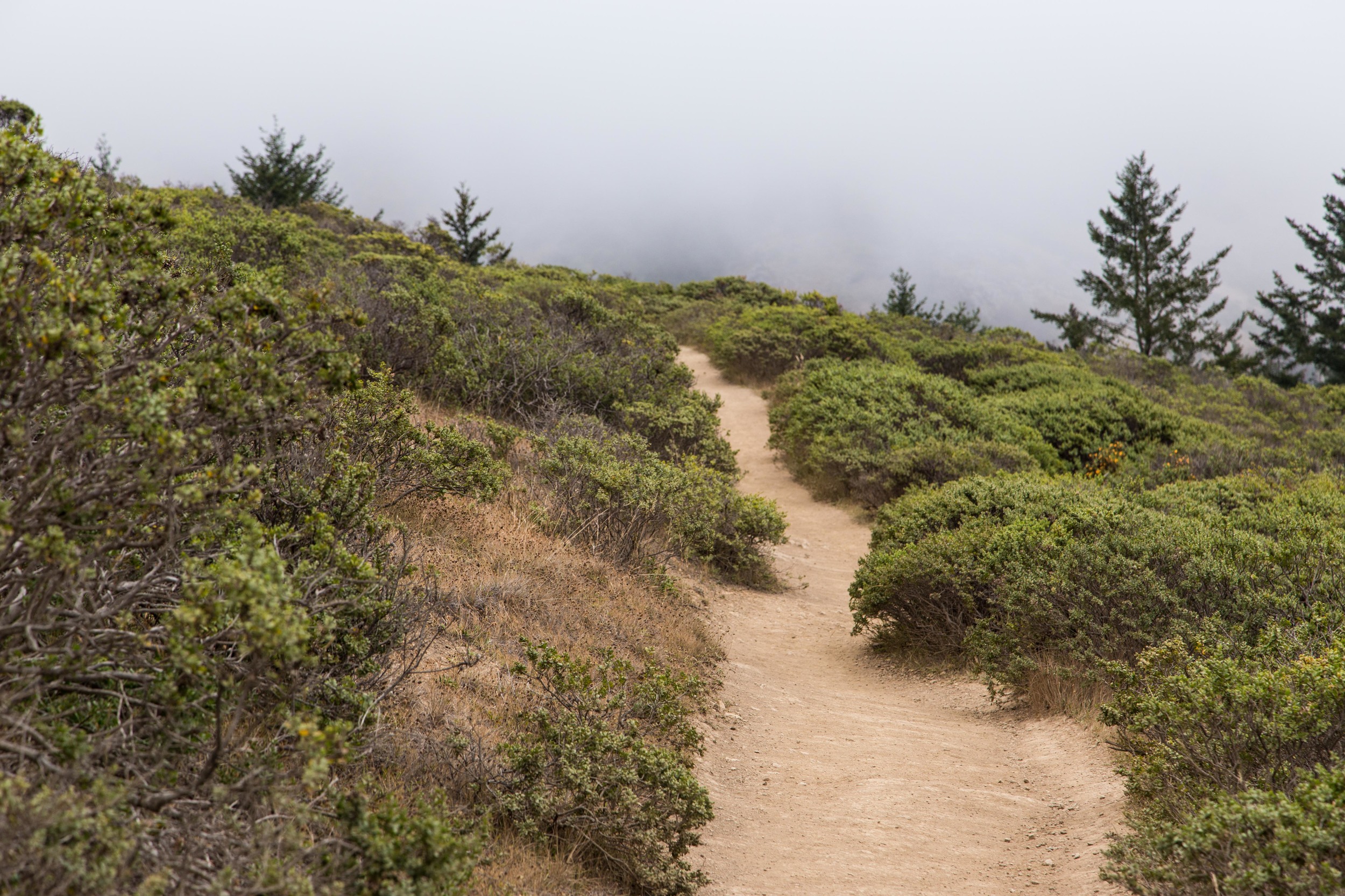
Soon, the trail opens back up again, and off in the misty distance, Stinson Beach seems like a very welcoming destination. 

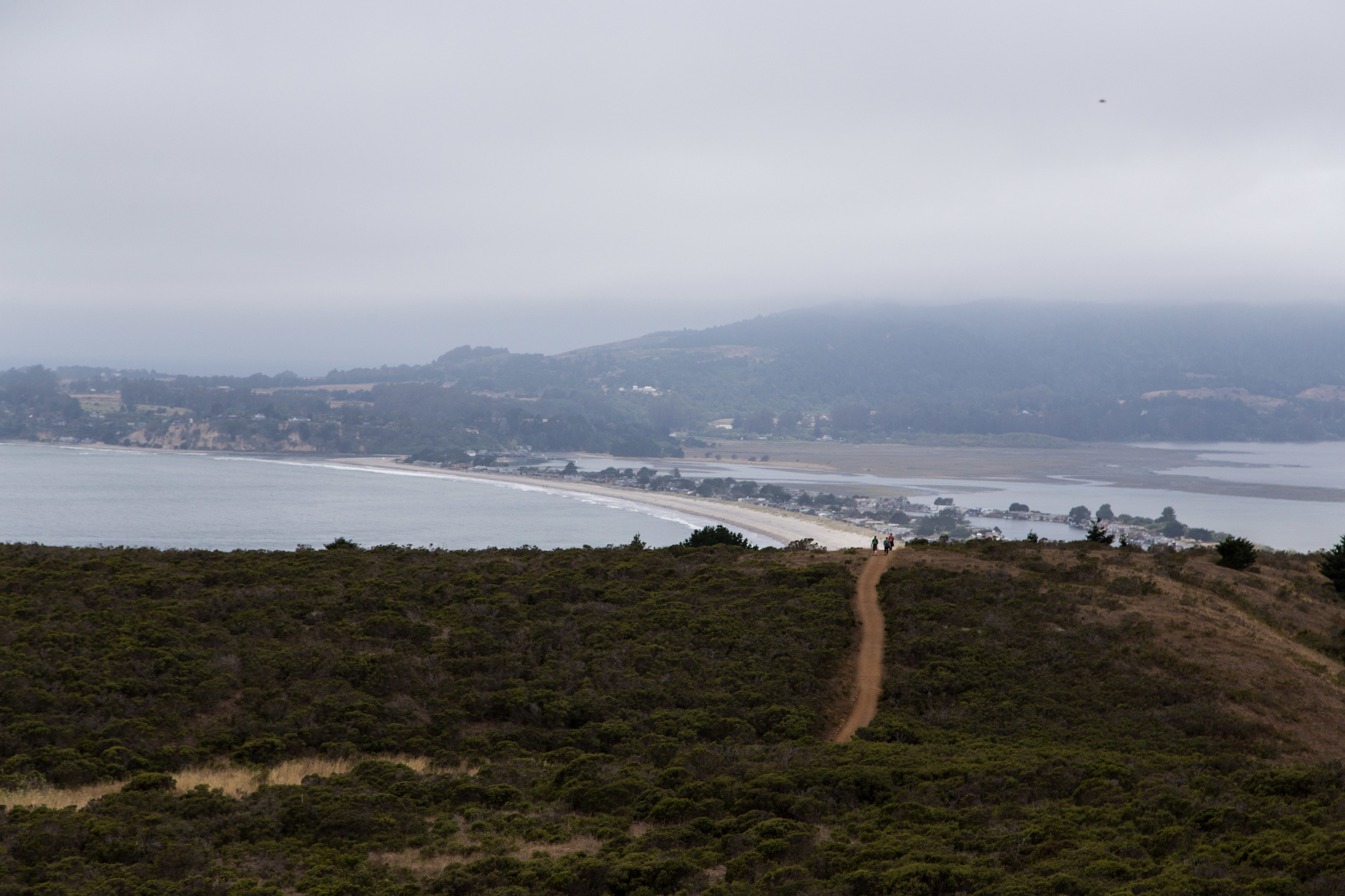
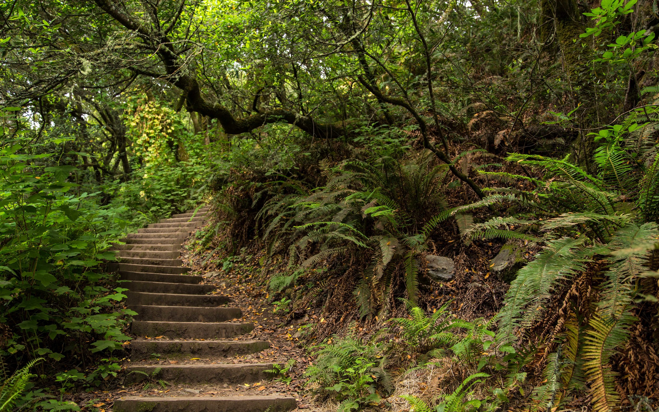
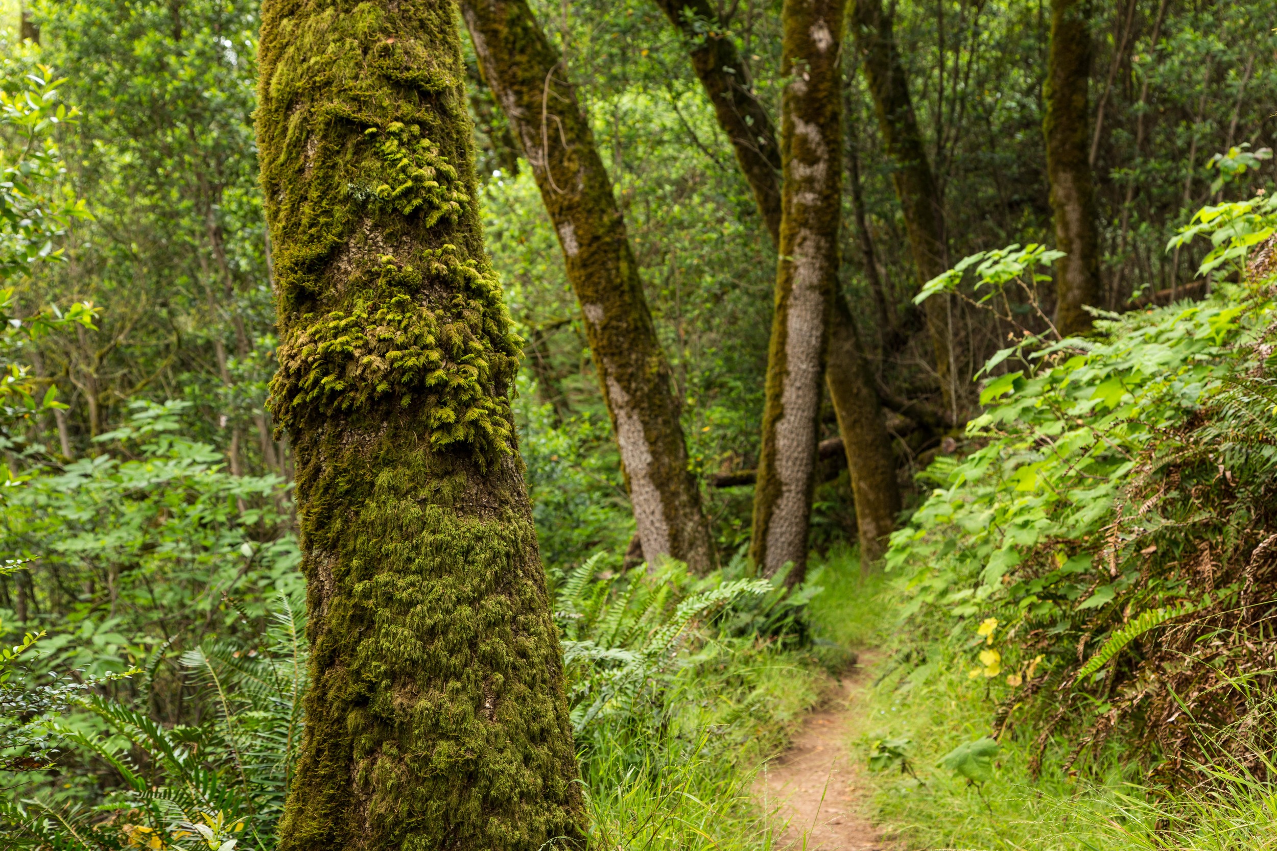
The last section of canopy before the trailhead is some of the nicest. The curves and lines of the stairs are graceful but precarious. They twist and turn and disappear mysteriously into more canopy, and new beauty is revealed around every curve. 

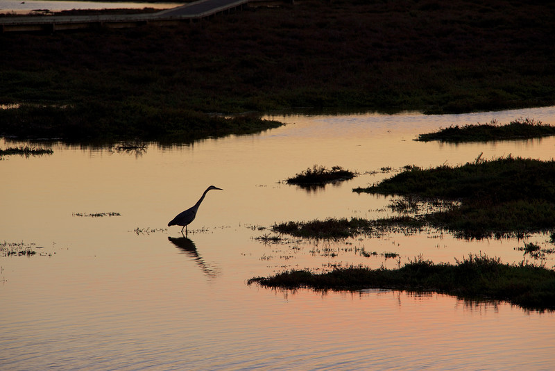
Across the street from the trailhead, and at the back of the parking lot, is the path that leads down to Stinson beach. I walked down the .3 mile gravel and dirt path and headed for the beach.  I snapped a picture and went over and got an ice cream cone at the diner by the beach. Yes! A great finish to an awesome hike. 

Total Distance: 8.87 miles, 19,506 steps

Elevation Change: 1426 feet

Park Brochure and Trail Map

Gallery 1

Gallery 2

In the Foothills of Mt. Diablo

There is something special about this place that keeps calling me back. I've been to this park numerous times in the last few months, and I've led others there too.  It's close enough to be accessible, yet remote enough to maintain its sense of wild. 

Because of the verdancy and spring energy of the place right now, I've been starting out my hikes with an intention, and more specifically, an expectation.  I intend to be overwhelmed with the beauty of nature. I expect to experience something spectacular and unexpected. I am open to seeing the chaos and change happening right in front of me. 

The first time I visited, it was a beautiful morning, but cool and foggy. Low fog is good for a photographer. I am able to minimize the harsh contrast of full sun, and the beauty of the hike is revealed slowly. Nature uses fog like giant stage curtains. The density hides, then teases, and finally reveals. Often, little shards of sunshine pierce the fog and dapple the hills with a dancing light.

I parked in the Orchard Staging Area. Surrounded by rolling hills and horse farms,  Diablo Foothills Regional Park is a popular place, but quiet in the early morning. Near the trailhead, horses whinny and snort, and it feels like the old west. Riders saddle up, and a little breeze brings the stables closer to me. The gate to the trail is on the south end of the parking lot. Right through the cattle gate, I took an immediate right, and climbed up the cattle pocked Castle Rock Trail. At the split, I noticed this old black oak, starting to awaken from his winter slumber, he still seemed to be in a fog.

I took a left and climbed up the Diablo Scenic Trail. An almost orderly oak forest stood tall on my right, while the hills off to my east were dark with fog and water heavy clouds. 

The fog made me feel like I was sitting with a theater audience before a show. The curtains are closed, but there is a buzz of anticipation and excitement.  Once, I made a mistake of thinking that the fog hid things.  Now I know that it reveals.  

A third of a mile up the trail is a bench. It's a good place to contemplate the mysteries and history of the place. First settled by the Bay Miwok natives, it was later claimed by the Mexican government in 1821. This was part of a ranch called Arroyo de las Nueces y Bolbones (Creek of the Walnuts and Indians).  

Stories and mythology abound here.  As I continued my hike, I came across El Corazon Roto, The Broken Heart. According to the legend, you can only see El Corazon Roto when you are ready, and in the proper light. It must be foggy, a kind of fog they call Niebla de la Desesperacion, The Fog of Despair. In bright light, the stone is flat and almost colorless. The pinks and reds that bleed through in the fog, and the hole in the heart, are the signs of a transitory state. The legend claims that if you see El Corazon Roto, the healing love you seek will enter your life soon. 

In this park, the oaks cover the hills as they have for countless generations. The beauty of the season is the revealed structure of the many leafless forms. The young have simple lines, while the old giants showcase the corkscrew curls of their distant reach. Hiking along these Oaks can be amusing. If you can speed up the progression of time in your mind, you can almost see them waving their arms and blinking at you.

Half a mile in to the hike, I started a steep climb up the hard, rocky trail. Bees and hummingbirds buzzed the flowering bushes along the edge, while off in the distance the valley opened up. Far away, the Castle Rock giants blinked their ancient eyes.

I took a left on to the Shell Ridge Trail. Up here is another memorial bench, with an interesting quote. If you make it to this bench, and take in the view, you will be validating the quote on the bench. 

Families of quail, squawking scrub jays, and northern mockingbirds took note of my visit. The jays annoyance made me feel aware of the distance between myself and the environment around me. However, we can sometimes experience moments of greater awareness and recognition in nature.  It happens when we allow ourselves to escape from the artificial boundaries we've created that separate us from the natural world. It is an experience that connects the senses like converging streams, and for as long as the moment lasts produces a flowing river of connection. 

I have these moments more often now, because I seek to invite them, and recognize them when they arrive.  The secret of escaping in to these moments is to open your senses. Visually, we become filled with overwhelming beauty. We hear the conversation of the creatures; breathe in the oak, the wildflowers, the mosses and the lichen. The fog and the air have a sweet taste, and everything we touch is an experience. Out in nature, all is alive, or is the structure or nourishment of new life.  

We see the change happening right in front of us, and we can’t ignore it. Is that old oak still in its ascendancy, or is declining now? The hills are green only for a moment. Boulders have tumbled here and there. Their resting place is temporary.  

Up along the ridge line, an observer rests silently, maybe knowingly. The face is blank but alive. The mossy beard changes with the light and fog, and the face is revealed only to the aware observer. Is the face an accident of nature or the aged creation of distant ancient hands? 

Off in the distance, other hikers give some scale to the scene. It is a humbling reminder of our physical significance on nature’s scale. We can let go of our hubris out on the trails. It serves no purpose other than remind us of nature’s indifference to it. 

This area has interesting boulders and rocks, tossed and scattered a hundred or a thousand or many thousands of years ago. I follow the lines of the boulders, study their mosses and lichen. I seek shapes and faces in the trees and rocks. They're everywhere if you look.

 The rocks and boulders seem scattered around like forgotten toys. The trees wrap their roots around the buried boulders for stability, and even absorb minerals from the leeching rock. Sometimes it appears that the trees are using the boulders to guide their growth.

Shell Ridge trail has hearty climbs and steep descents. Every step is an opportunity to balance. I slid on the surface layer a few times, especially during steep descents. The trails pass through beautiful oak groves full of black oak, coast live oak, canyon live oaks and others. Oaks are a necessary and vitally important part of the food chain, and acorns were a major component of the native Ohlone and Bay Miwok diets. 

I walked down a steep hillside. Up on my left, a small herd of cows looked at me lazily. I turned around and saw a few interesting trees. I put down my tripod and bent over to compose a shot. Out of the corner of my eye I saw movement. 

When I focused, I saw a beautiful Bobcat. I sensed it was female, but don't know for sure. I didn't move. I wasn't frightened at all; it was only a bit larger than a house cat. She paused for a few moments, seeming to ignore me. The only movement I made was to take a few steps to my left, for a better view. I only had a wide angle landscape lens, so I couldn't zoom in any further. I stood there and let her be, and just appreciated this beautiful gift. 

The cat stood, framed by the dead branch of a tree. I took a few pictures and moved little. She became comfortable with my presence, and to my surprise she settled down. I watched her for a while as she looked around. I stayed as still as the oaks around me, moving only slightly to press the camera shutter. 

She was such a graceful and confident little cat. I don’t know exactly how long I watched her there, but she heard them before I did. She stood up lazily and sauntered off up the hill, as a loud cacophony of hikers approached from the other direction. 

The bobcat was in the valley, and I continued on to climb the Shell Ridge trail back up to the ridge line. I took some time to view the unveiling of the hillsides. By now the sun's rays were puncturing the fog, breaking through in points to illuminate the valley below.

I watched in awe as a hidden brush painted the hills with light, adding a glow here and there and smudging it back over again with the fog. The invisible artist put on a live show for me, and I took it in. It's what I do every time. 

Diablo Foothills Regional Park

Route of this hike:

From the Orchard Staging Area

Start at the Castle Rock Trail

Immediate Right on Castle Rock Trail along the fence

.09 miles, keep left at split

.12 Left on to Diablo Scenic Trail

Oak Forest on the right as you climb

.28 Right to climb up Diablo Scenic Trail

.33 Bench with scenic vista

Climb here

.48 Start of steep climb

Views of the valley of the oaks and Castle Rock in the distance

.54 Bees and hummingbirds all over the flowering shrubs

.61 Top of hill

Left on to Shell Ridge Trail

.66 Walk along the ridge line and then sit on the bench and enjoy the views of Castle Rock and the rolling hills

.71 Keep Right at the split

.75 Quail startled, and they chatter

.84 Right on to Shell Ridge Trail

.94 Ridgeline, views and poppies

.97 Face Rock, Start Descent, Views of Castle Rock

1.17 Beautiful Oak Forest and views of rolling green hills

1.28 Bobcat, valley floor, squirrels

1.38 Left at split to stay on Shell Ridge Loop Trail

Ground is sandy like a beach

Start climb again

1.54 Farm house in distance

1.69 Keep left at split

Climb here

Busy squirrels on hillside

1.78 Right on to Shell Ridge Trail

1.93 Rolling hills in the distance

2.01 Keep left on Shell Ridge Trail

2.28 Keep Right at split

2.41 Left at Castle Rock Trail

2.53 End


Contemplation on the Blue Oak Trail

Here, hiking the rolling hills covered in twisted, mossy oaks, contemplation comes easy. Nature whispers in our ear, or pounds us over the head, and says, "pay attention!"

Just feeling the crunch of the soil under our feet can wake us up from our detached slumber. Are we of this, or outside of it? The Blue Oaks are sleeping now. Perhaps they are dreaming in a way we can not know. If we allow that there is a correspondence with all things, we can imagine that their process of dormancy is similar to ours, in a way.

In the fall, deciduous trees like the Blue Oak lose their leaves in a process known as abscission. The trees reabsorb the nutrients from the leaf before starting a cellular process that detaches the leaves from the tree. 

As we drift off to sleep, we reabsorb the nutrients of our day. That which we gave out comes back to us. In our own abscission, we drop the facade of our posture for the embrace of the mattress. We are not the vibrant, colorful crown of our day. We become the bleary eyed structure that needs to rest and regenerate. The tree absorbs the nutrients from the leaves and stores them in its roots for later use. The nutrients and toxins of our day are absorbed too, and stored in our roots as we sleep, for later use. Will they allow us to grow, or will they weaken our structure?

Maybe we recognize a tangle of confusion, not unlike the chaotic flow of our own current of thought. We can see where thoughts change direction, break off, twist, turn and gather their own moss and momentum. 

Then, rounding a corner, we might see a crown that teaches us to stretch and reach in every direction. Even in repose, the slumbering giant still holds life delicately in its embrace. 

Often on the trail, we can meet trees that have lived, stretched, reached and grown, and now their shells are the foundation and nutrients for new growth and new life. And the tree is oblivious to this of course. It knows only its life. But now we can see that the sharing and growth continue long beyond the life of the structure.

A little patch of earth shows both decay and growth. The cycle is both visible and invisible, because profound changes are happening at every point along the spectrum of life. Trillions of bacteria nibble away at the leaves, breaking them down in to new structures of contribution. Mosses, fungi and lichen, along with green shoots, come out the other end of the process. 

All the while, the trees reach and explore. They twist and stretch to experience their own environment. 

There is nothing in isolation in nature. There is growth upon growth, and life and worlds live on small and vast scales. On the surface of a tree, we can see a whole new forest of moss and lichen, with little streams, and whole generations of spiders and other insects live and die here, knowing only this world.

We can see how easy it is to change our perspective. Perhaps we can learn how to focus on different views of the same scene. 

Maybe we can understand that the impact of a moment can be changed by simply looking at it differently.

Even at the surface level of observation, we can still enjoy and experience tranquility. We can see the gentle rolling slope of the hills, the vibrant green of winter grass, the lazy ramble of a hungry cow. 

Every observation is a gift, and can be experienced as a whisper or a roar. Nature speaks. Do we listen?

Blue Oak and Spengler Trails

Full Gallery

Directions to Trailhead

Park Information

Don Edwards San Francisco National Wildlife Refuge - Mallard Slough Trail

Sometimes you feel a breeze from a thousand years ago, and it wakes you up to what once was, and what might still become. The native population once observed the bay skies clouded with millions of migrating birds. We can now see the descendants of those birds carrying on the migration, though in fewer numbers, in the Don Edwards San Francisco Bay National Wildlife Refuge. 

California Brown Pelican

California Brown Pelican

Here, you can see giant brown pelicans float on by like ancient pterodactyls, and great egrets launch with effortless grace and power. The beauty of the refuge is that it allows nature to continue its patterns and processes in a protected space, and gives us a front row seat to the show. 

Great Egret

Great Egret

The 3.3 mile Mallard Slough Trail  gives you access to a variety of habitat in the refuge's 30,000 acre space. There are 15 different types of habitat here, each one hosting a variety of different plant and animal species. Each season brings new life and opportunities for visitors. 

The trail is a wide, fire road size levee that navigates a wedge of the refuge. Occasionally, a big lumbering Caltrain commuter shuttle roars by along the west stretch of the trail, but the birds seem to be used to it. 

Great Egrets on the island, along with Double-Crested Cormorants. Brown Pelican taking off in the foreground.  

Great Egrets on the island, along with Double-Crested Cormorants. Brown Pelican taking off in the foreground.  

There are man made islands in the refuge, and many of the birds roost and observe from these places. I hiked the trail in late afternoon, looking to watch the end of the day activities. Pelicans were flying in and settling on the islands. Sandpipers were whipping by like a fast moving cloud. Their movements seemed choreographed in advance, like a high speed flying ballet. 

Flying cloud of Sandpipers

Flying cloud of Sandpipers

Gulls dropped lightly out of the sky to roost on little plate sized patches of mud. They cleaned and warmed as they watched the sun drop.

California Gull landing

California Gull landing

All along the way Great Egrets flew and flapped their giant wings and looked like slim white sheets on a windy clothesline. 

A Great Egret joins the party

A Great Egret joins the party

On the western stretch of the Mallard Slough Trail, I looked up to see a big Brown Pelican coming in for a landing. Like a mirage, he just appeared before my eyes, and grew larger as he approached. 

As he came close, he took a look at me, then he banked to his left and posed with the blue sky behind him.

I really got the sense this Brown Pelican was observing me. You may notice a sense of wary acceptance of visitors from the birds. They were quick to launch and get distance as I observed them. Parts of the refuge are open to waterfowl hunters during certain times of the year, and my camera and tripod may have looked like something else to these birds. 

Brown Pelican

Brown Pelican

Fortunately, I had a long enough lens to capture moments like this below. Among this group of Northern Shovelers, some were landing and some were taking off. 

Example of the speculum (wing) of the male shoveler flying.  The light blue on white on dark green is specific to the shoveler...Northern Shovelers (male and female in water), Green-winged teal flying (small duck with black and green on wi…

Example of the speculum (wing) of the male shoveler flying.  The light blue on white on dark green is specific to the shoveler...Northern Shovelers (male and female in water), Green-winged teal flying (small duck with black and green on wing, green stripe on head) and possibly a male gadwall peeking up from the pickleweed. American coot in background. 

Nestled in the deep grasses are pockets of open water, and Shovelers drift and float about.

Female Shoveler

Female Shoveler

Approaching the end of the western part of the trail, I came across a Great Blue Heron standing with a pocket of Northern Shovelers. I stood for a while on the trail, waiting to see if he would move. He was off the trail to the right, just on the shore. He gave me a side glance and ruffled his feathers. I lowered my tripod off my shoulder, placed it on the ground and stood behind my camera. He lowered himself, and launched, cutting through the air with powerful downward thrusts of his giant wings. As he flew by me he let out a haunting jurassic screech. 

Great Blue Heron

Great Blue Heron

And just moments later the last light of the day touched down, warming the roosting White Pelicans on one of the little islands. 

Sun sets on White Pelicans

Sun sets on White Pelicans

There was last minute chatter and negotiation for space as they took their places to observe the sunset. 

Enjoying the last light

Enjoying the last light

The sky had a campfire glow, with the cloud's orange flames dancing in the high winds. 

Evening show of color

Evening show of color

The sunset's pink orange color lit up the water for this hunting Great Blue Heron.

Great Blue Heron

Great Blue Heron

Please respect the wildlife and habitat of this beautiful area, and consider volunteering here at the refuge. There are many interesting and fun things to do, and you'll be helping to preserve and protect an amazing sanctuary.

To learn more about visiting the Don Edwards National Wildlife Refuge, click here. 

Special thanks to Carmen Leong-Minch of the National Wildlife Refuge for her help in captioning the photos.

Resources

Full Photo Gallery of this hike

Don Edwards San Francisco Bay National Wildlife Refuge

Trail Map of the Mallard Slough Trail

Directions to the Don Edwards National Wildlife Refuge

Free Pocket Guide Books for Western Birds (PDF files)

The State of the Birds - San Francisco Bay - 2011