

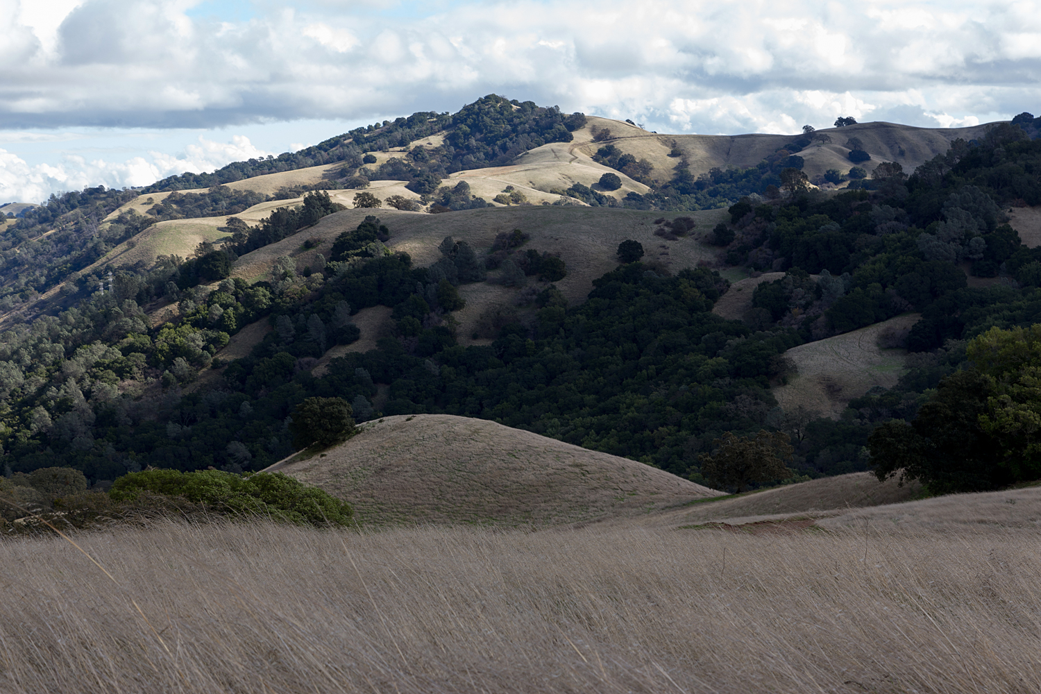
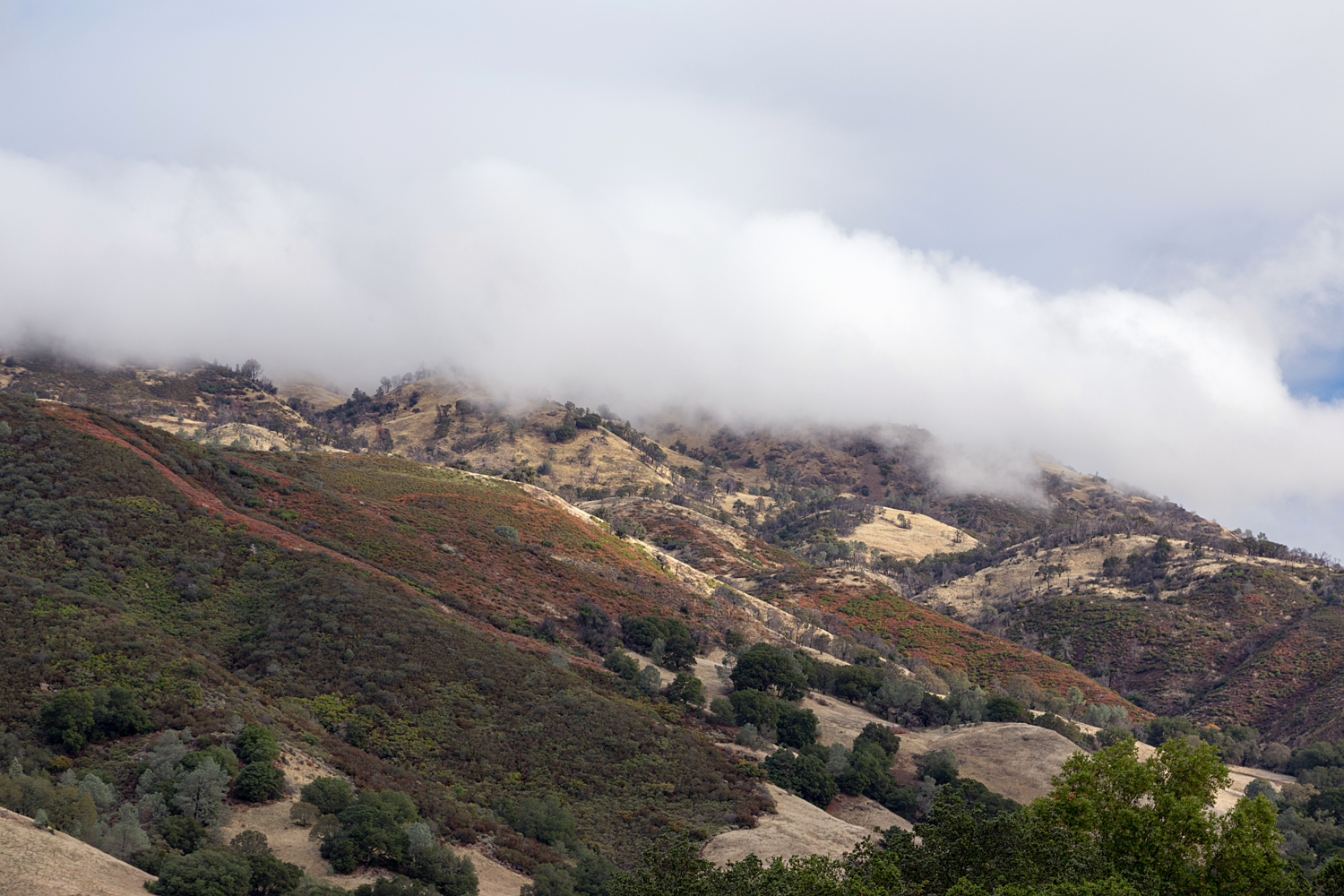
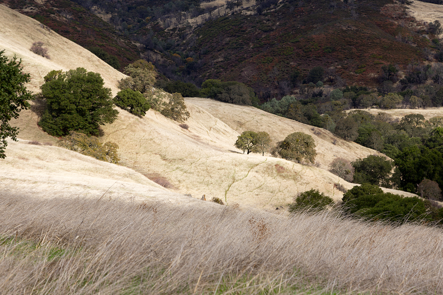
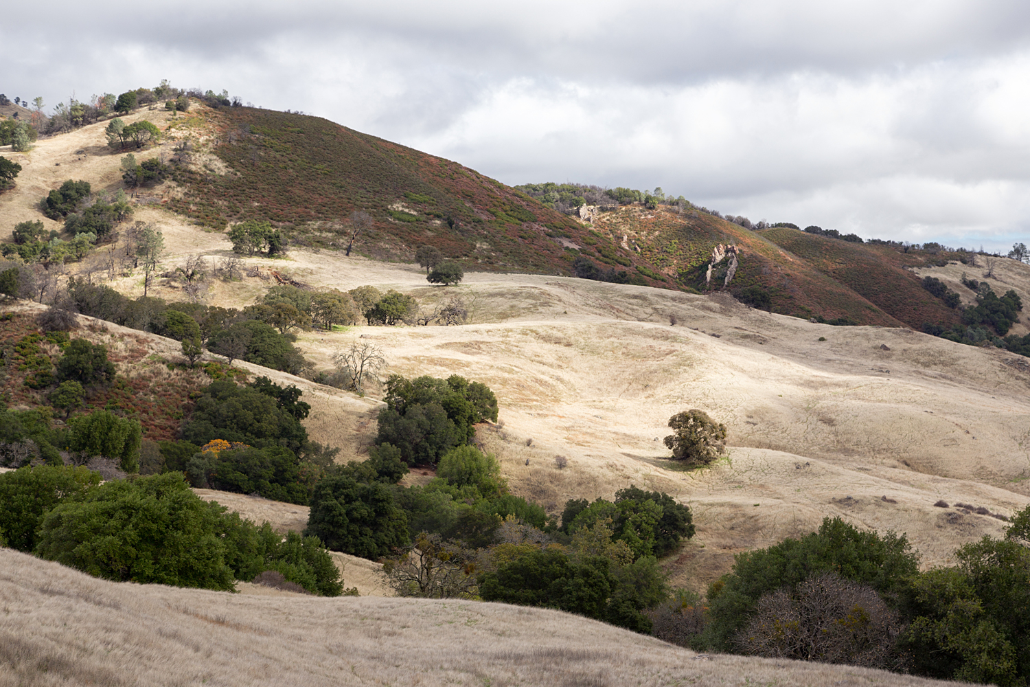
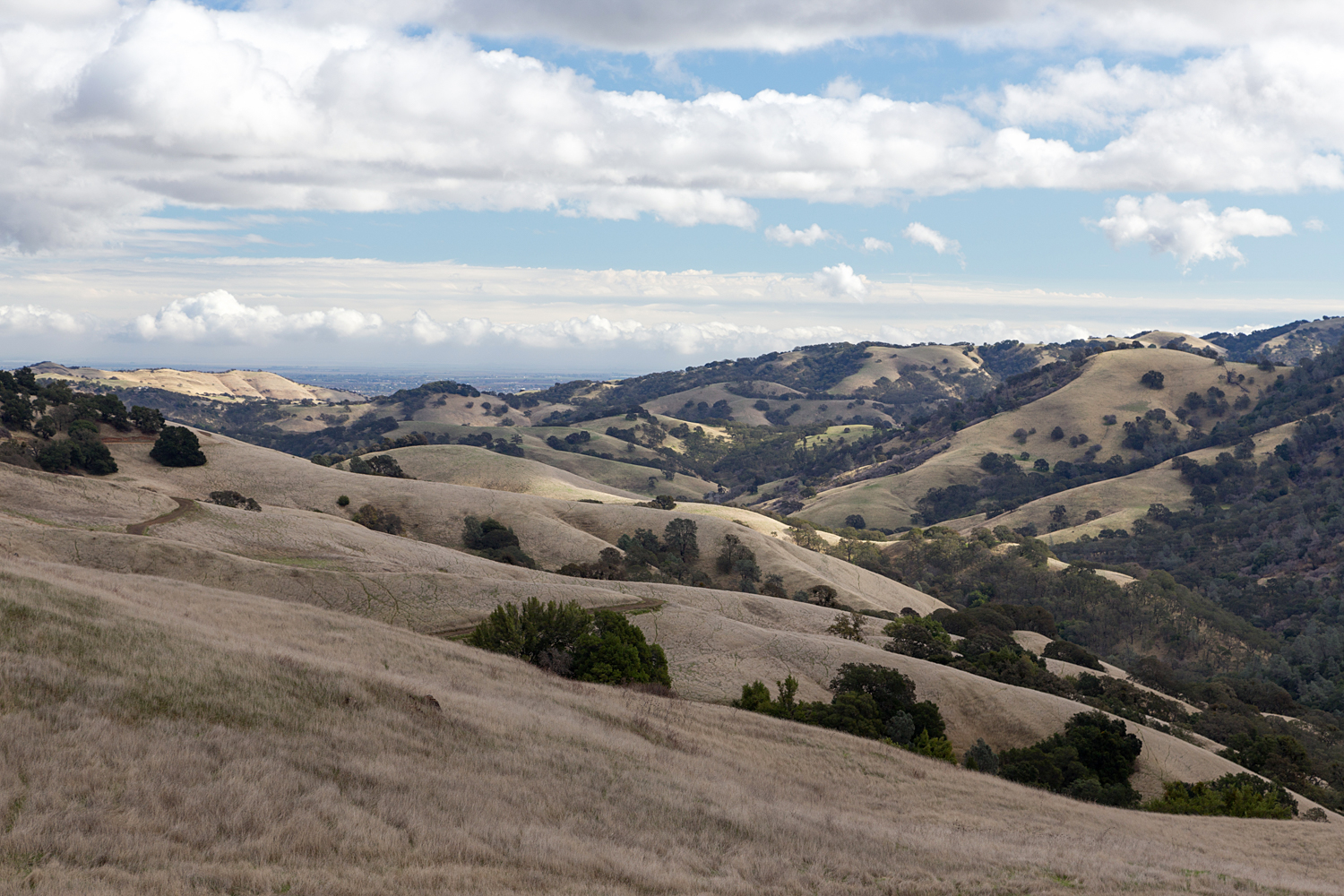
- Location: Mount Diablo State Park
- Route: From Curry Point, Follow Curry Canyon Road 1 mile and take a Left on to Frog Pond Road. Keep on Frog Pond Road for .5 mile, and take a left on to Chase Pond Road. Continue on to the end of Chase Pond Road, and return the same way. The route descends down to Frog Pond Road, and then climbs to Chase Pond.
- Mileage: 6.18 Miles, 1137 feet elevation gain.
- Difficulty Level: Moderate to strenuous due to elevation gain and distance
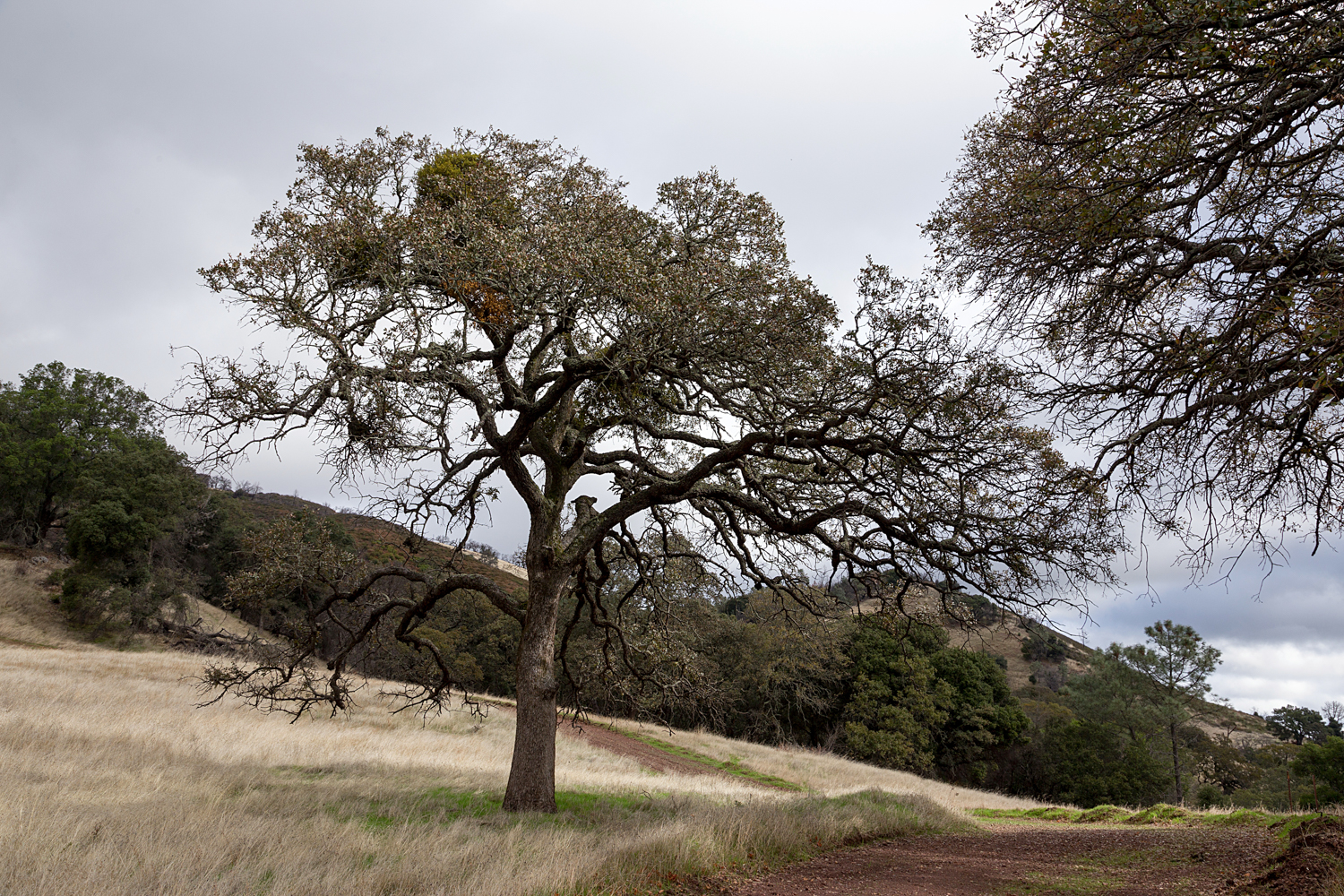
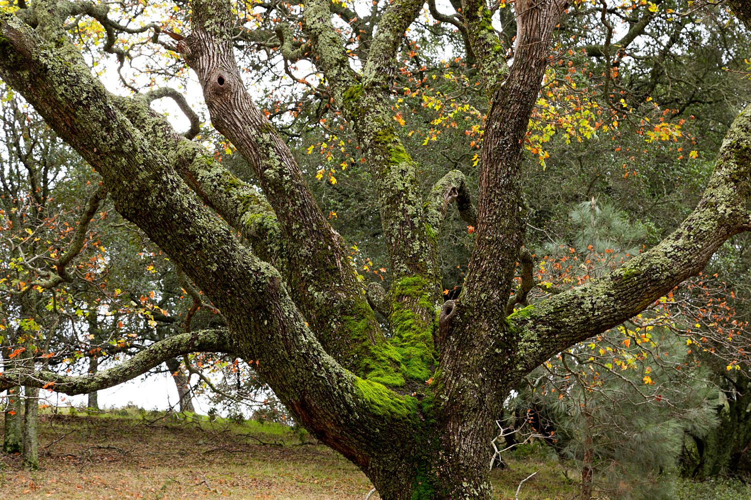
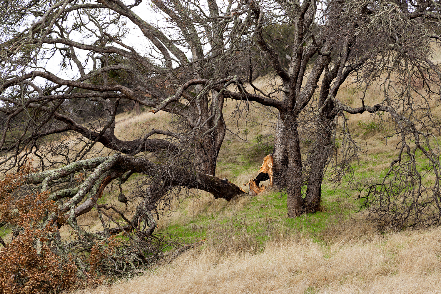
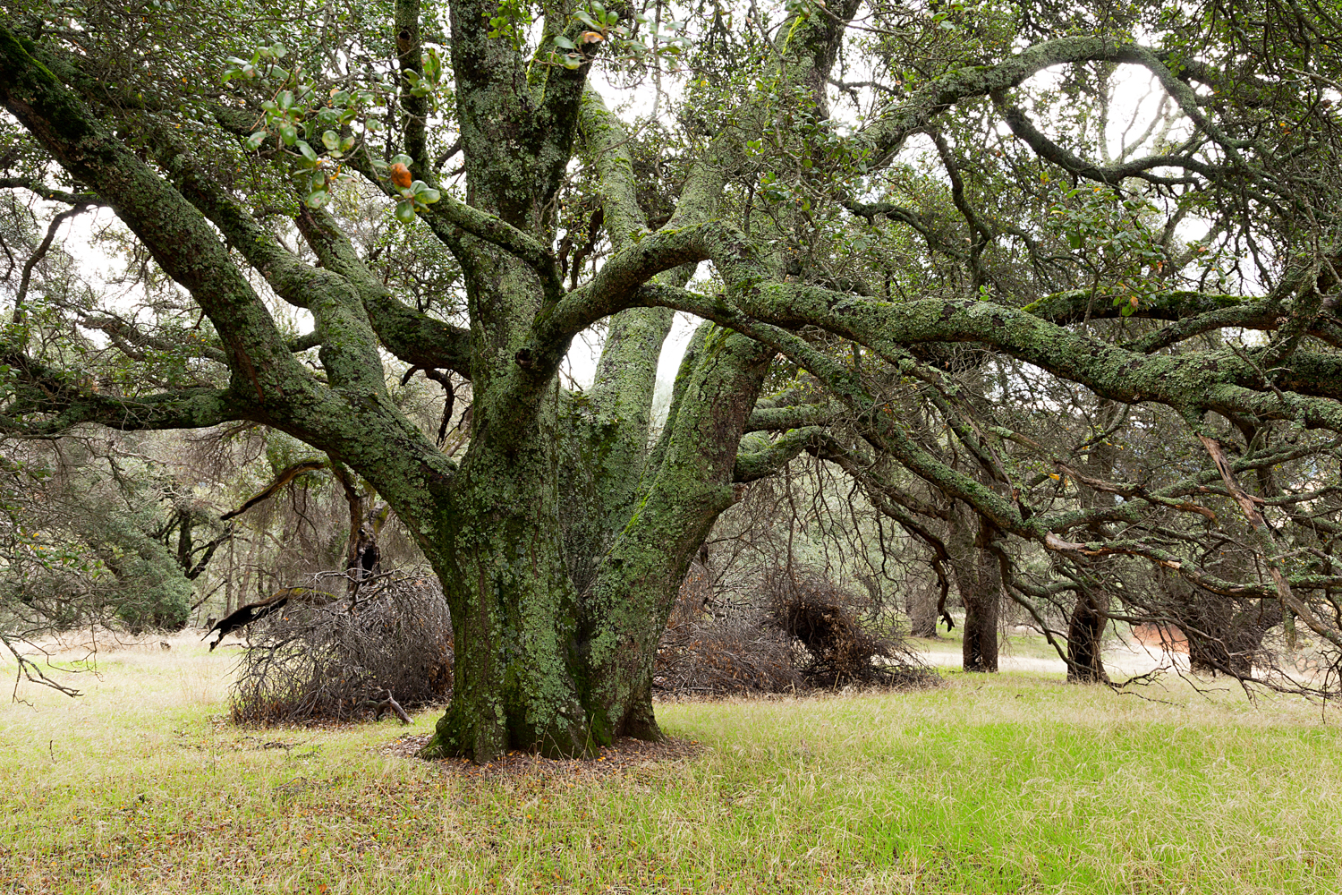
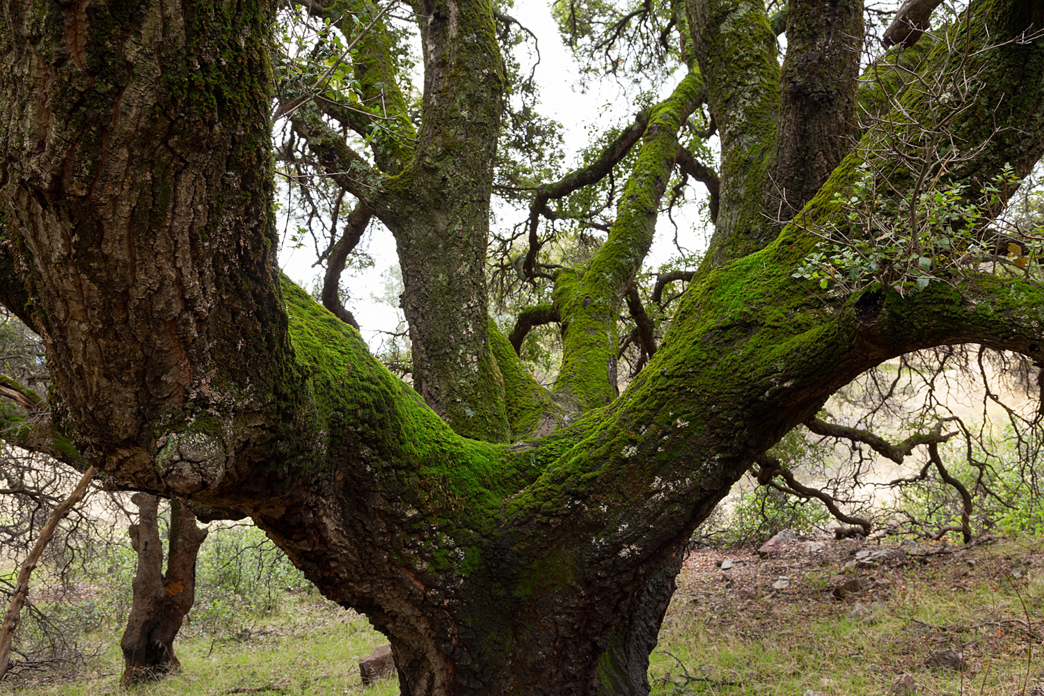
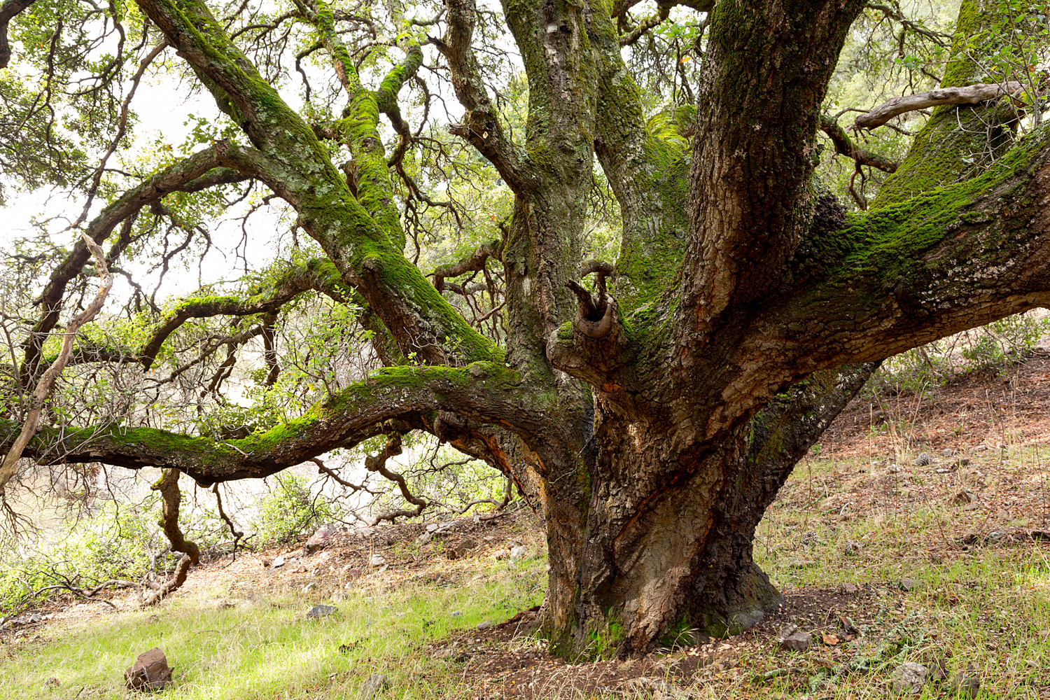
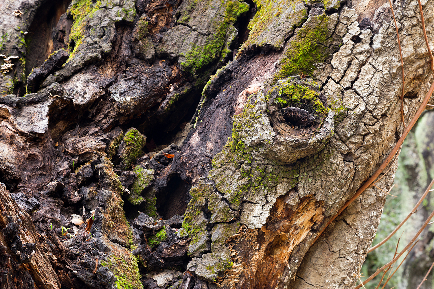
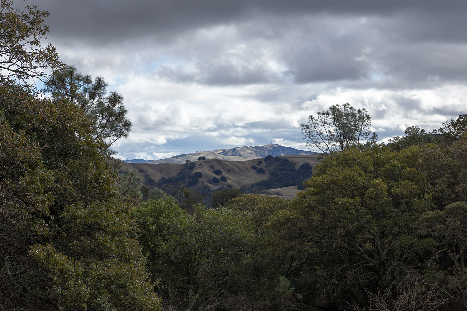
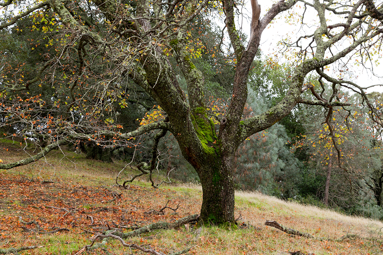
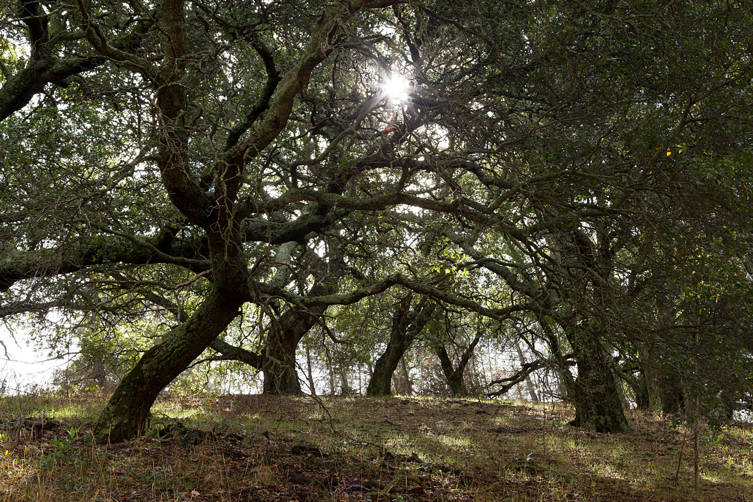
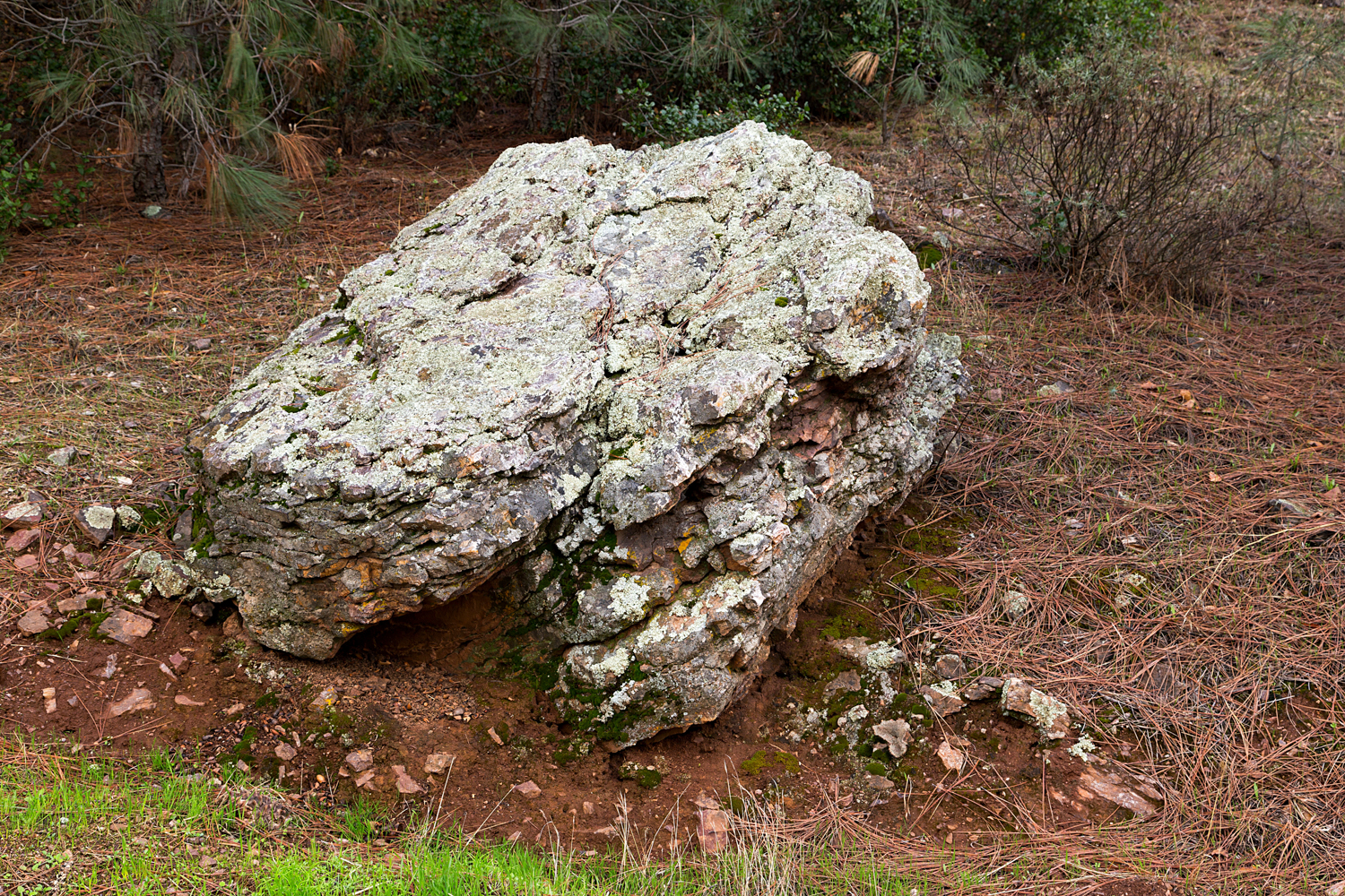
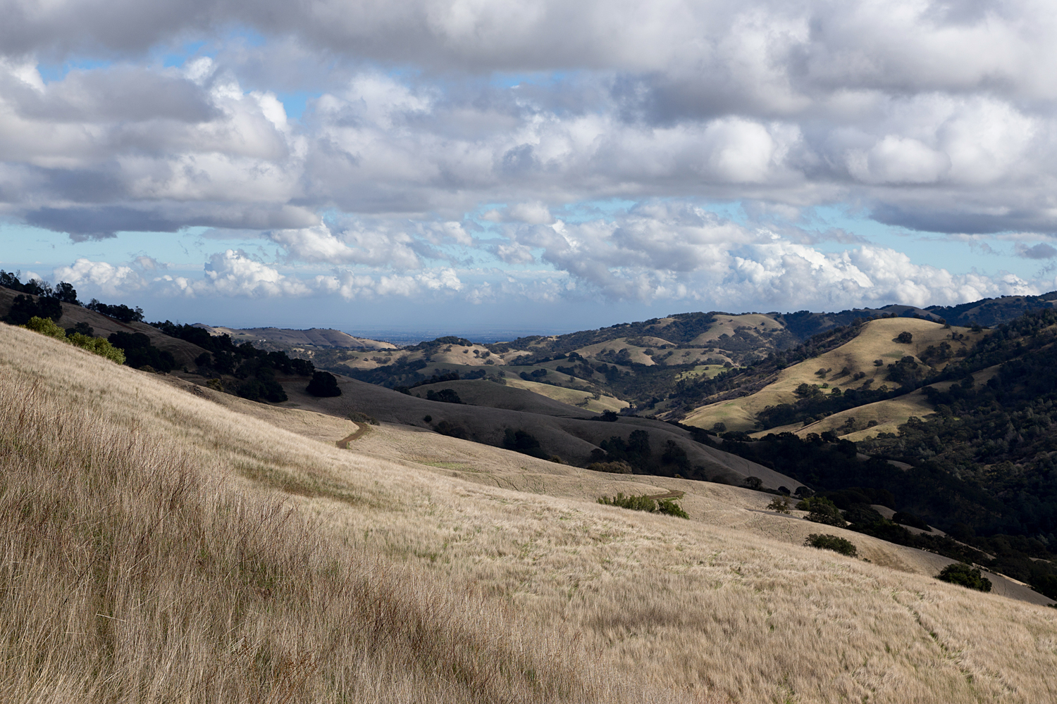
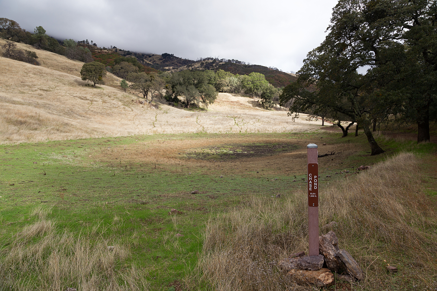
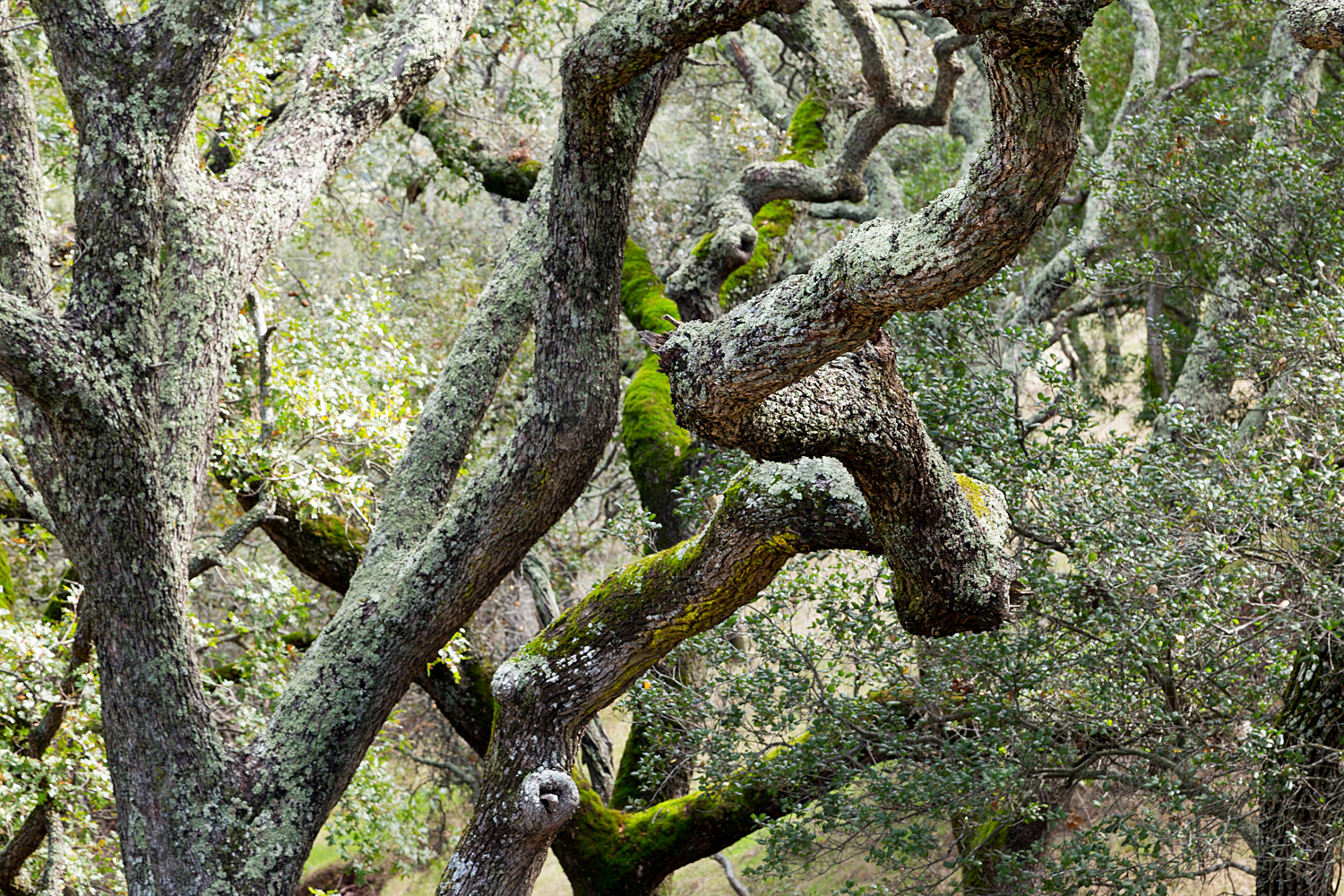
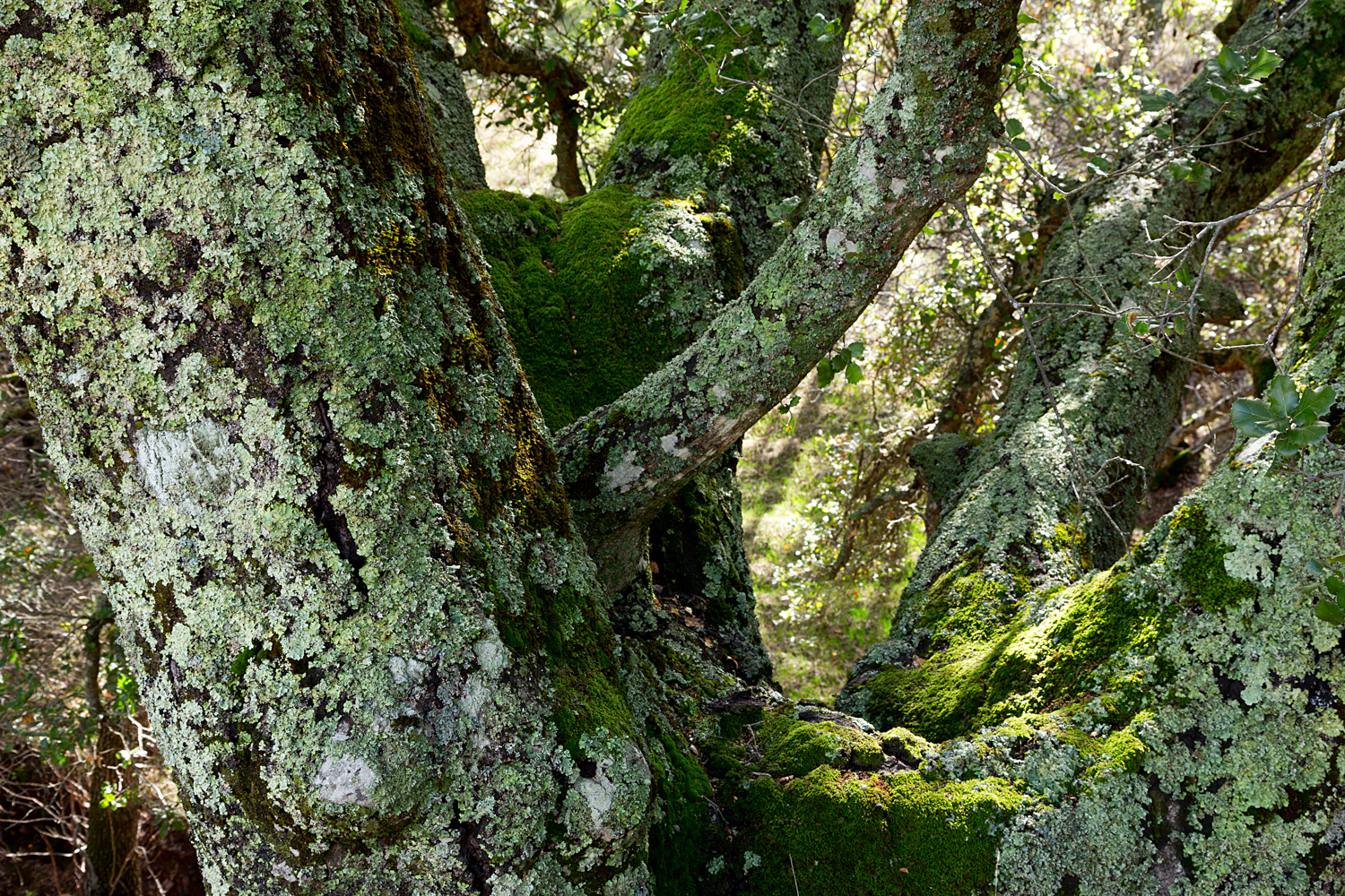
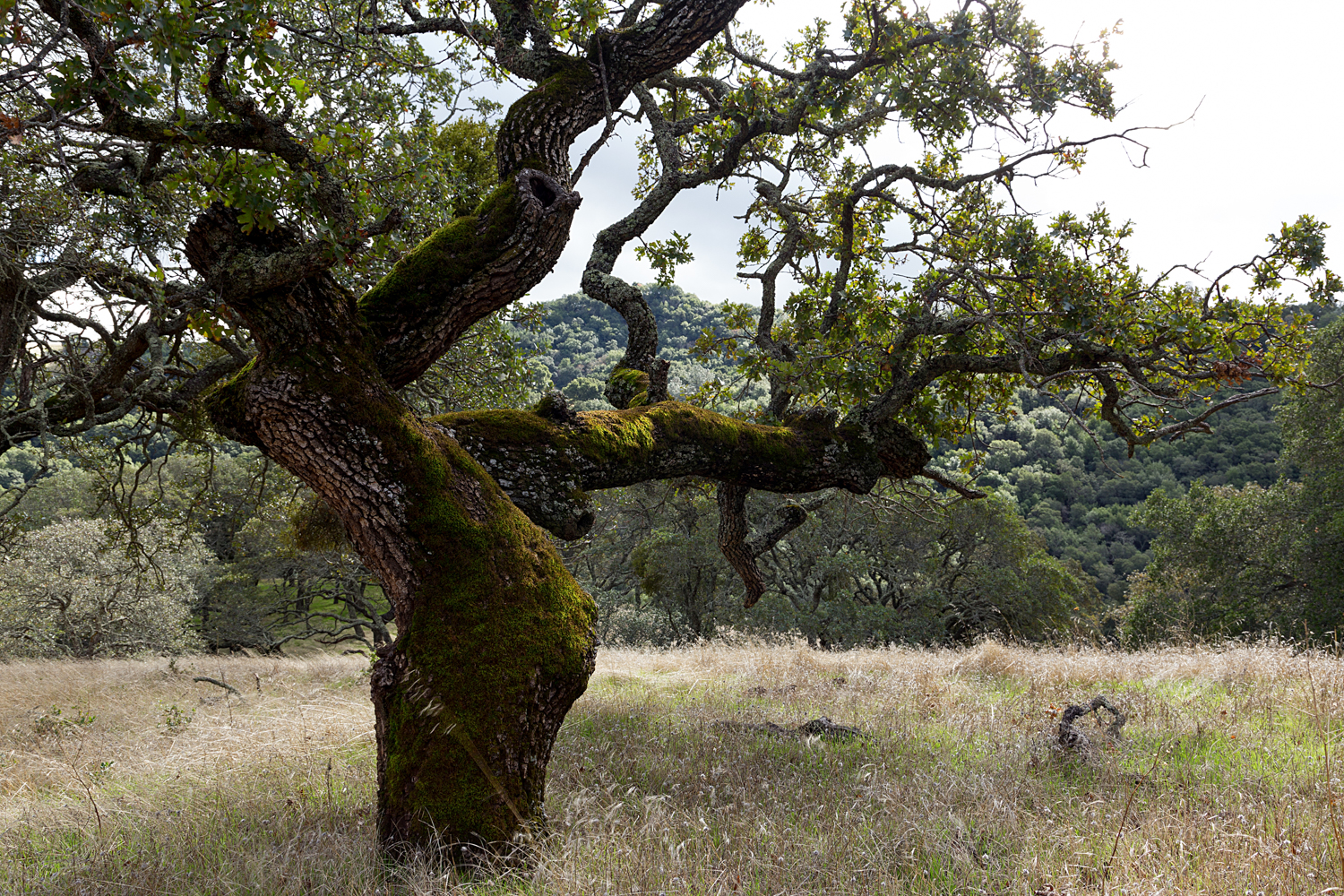
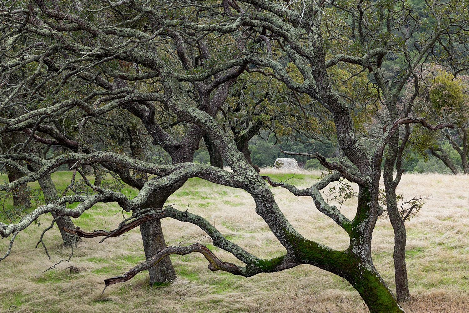
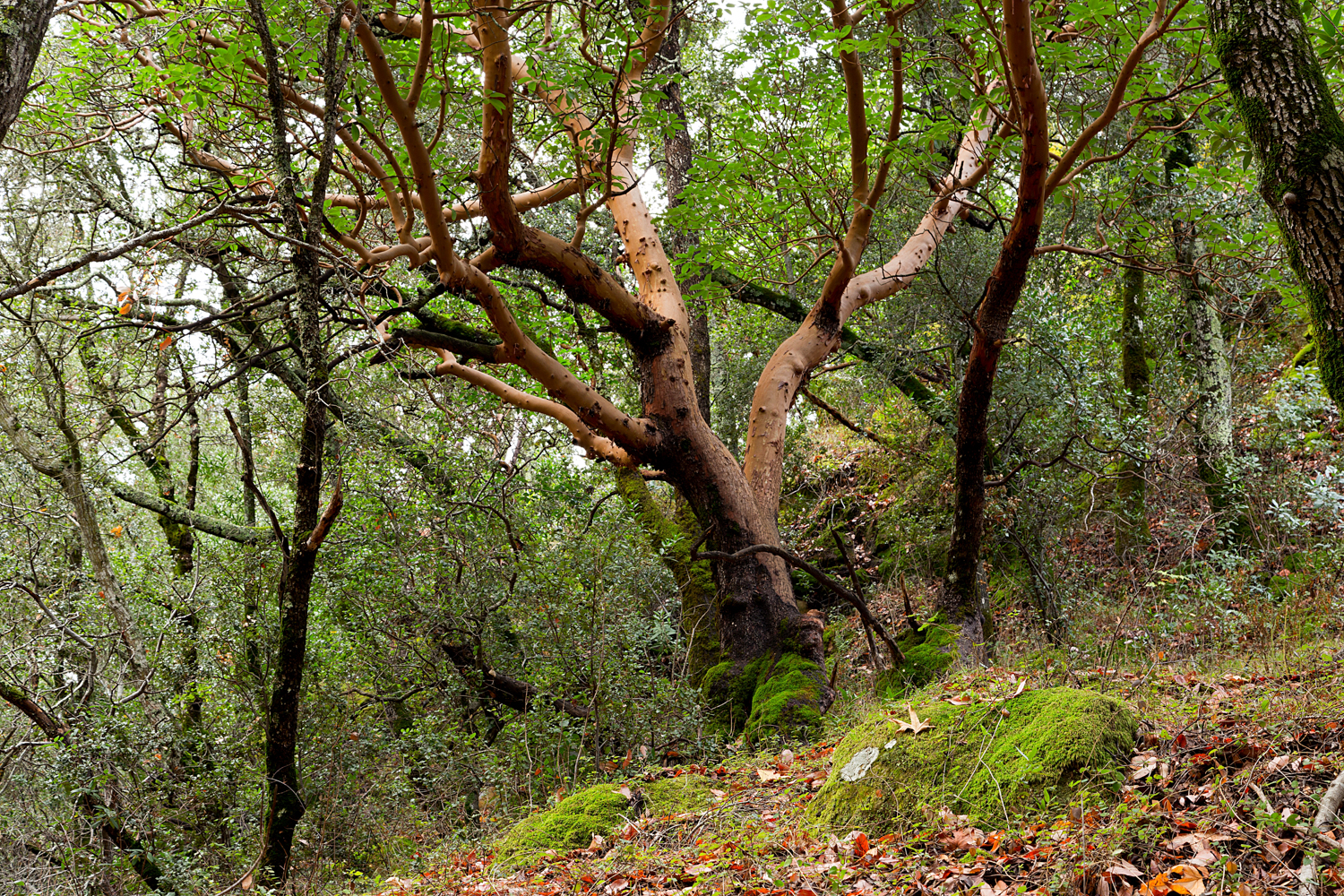
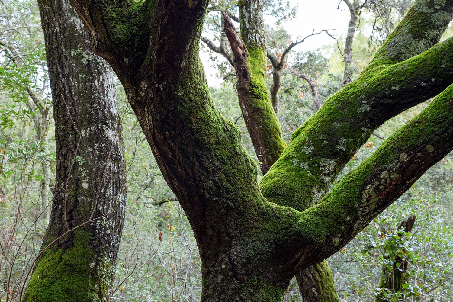
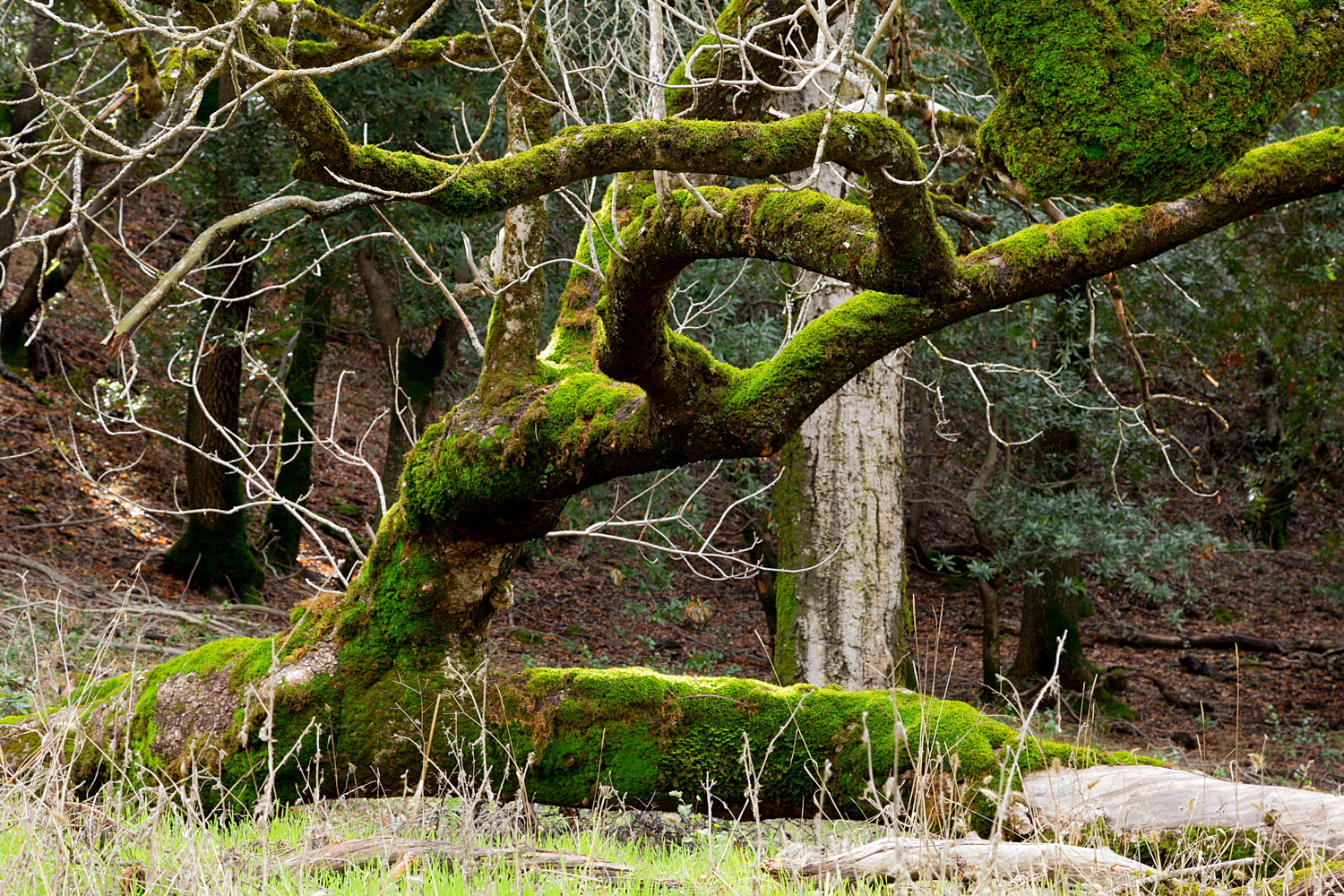
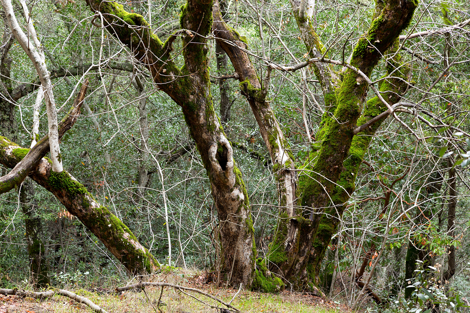
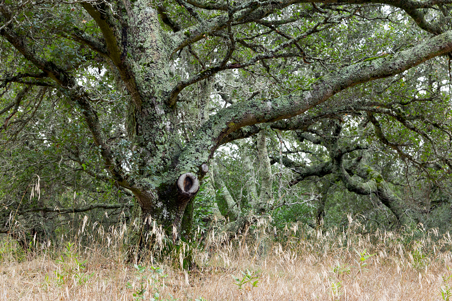
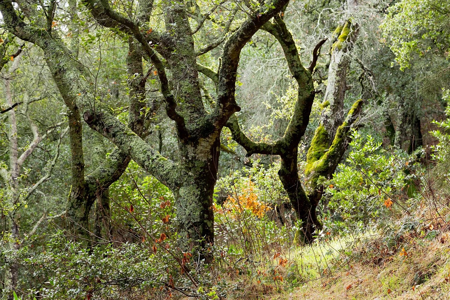
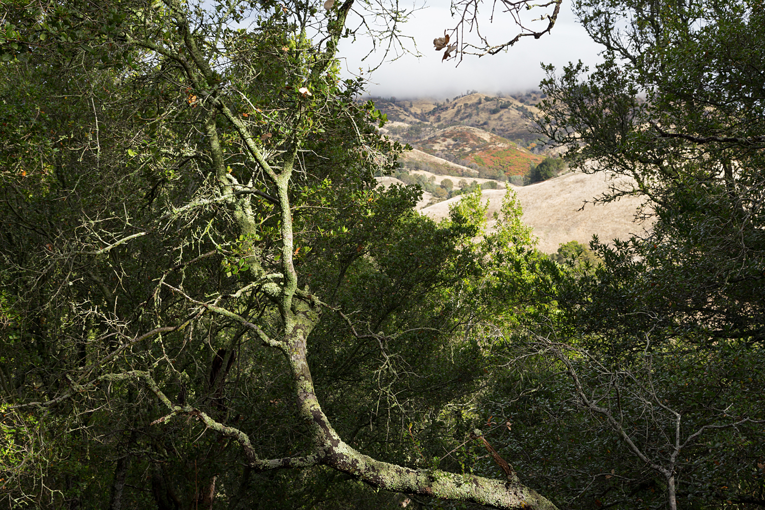
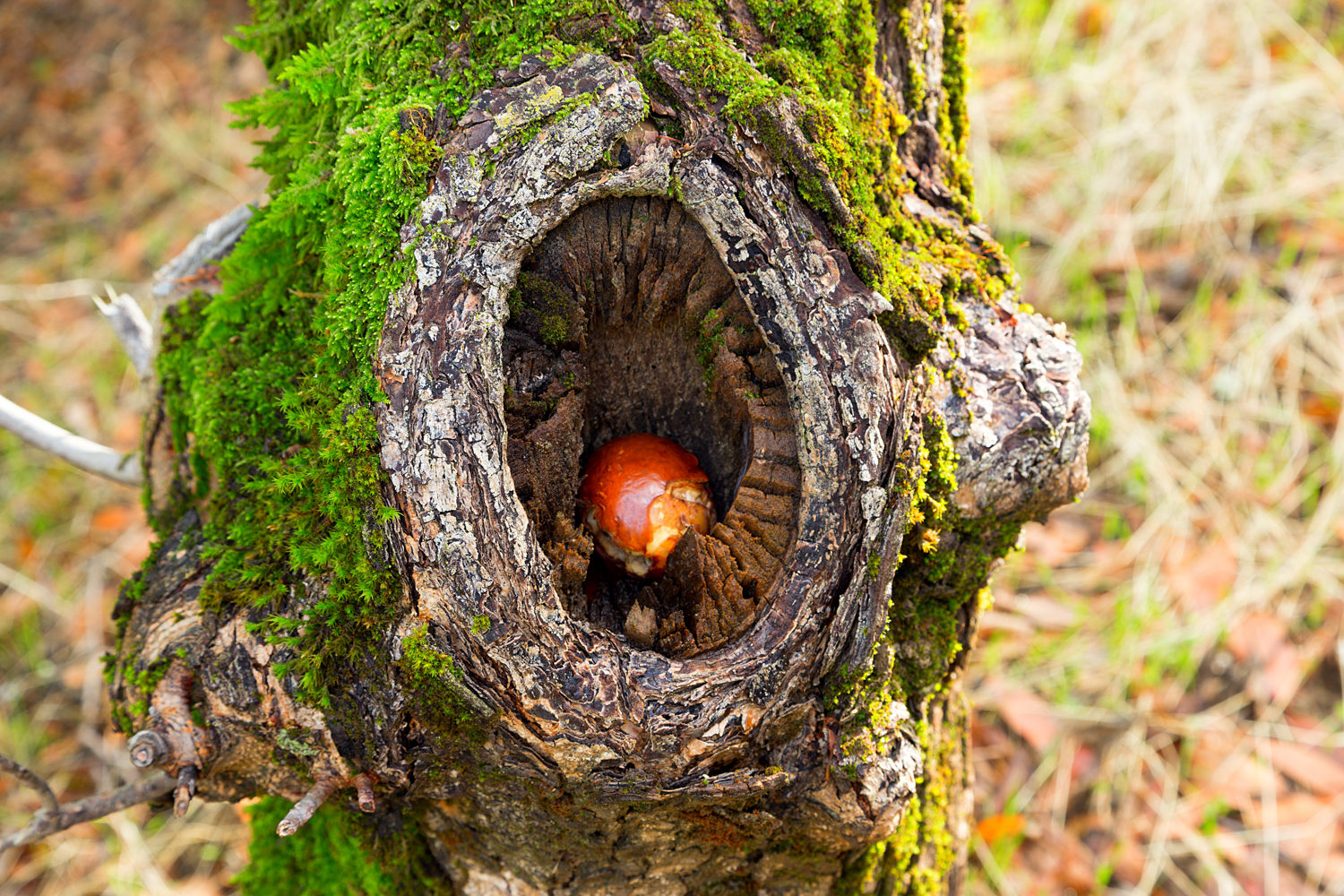
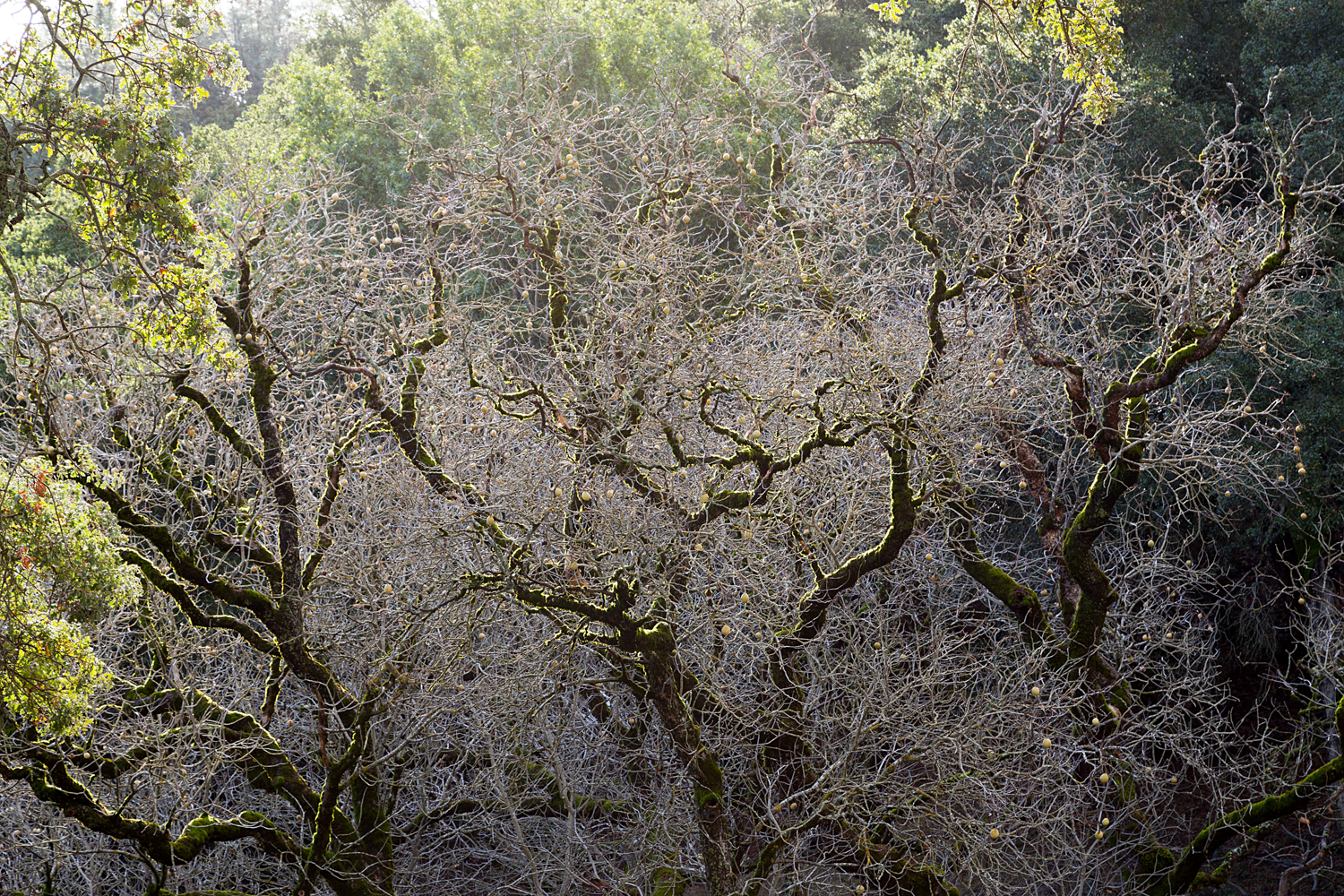
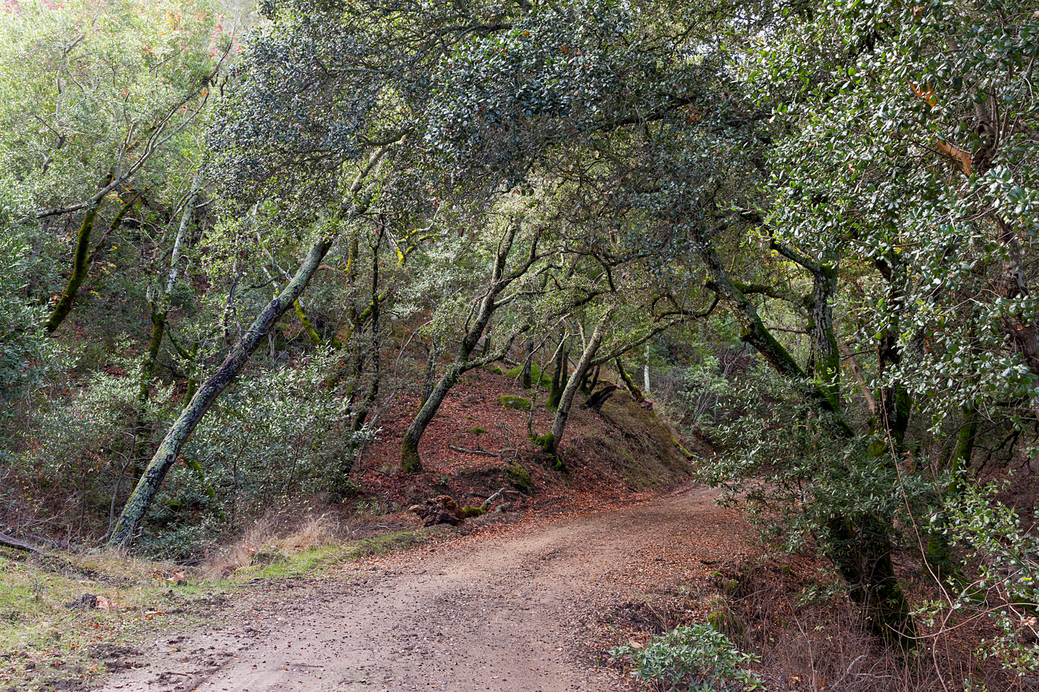
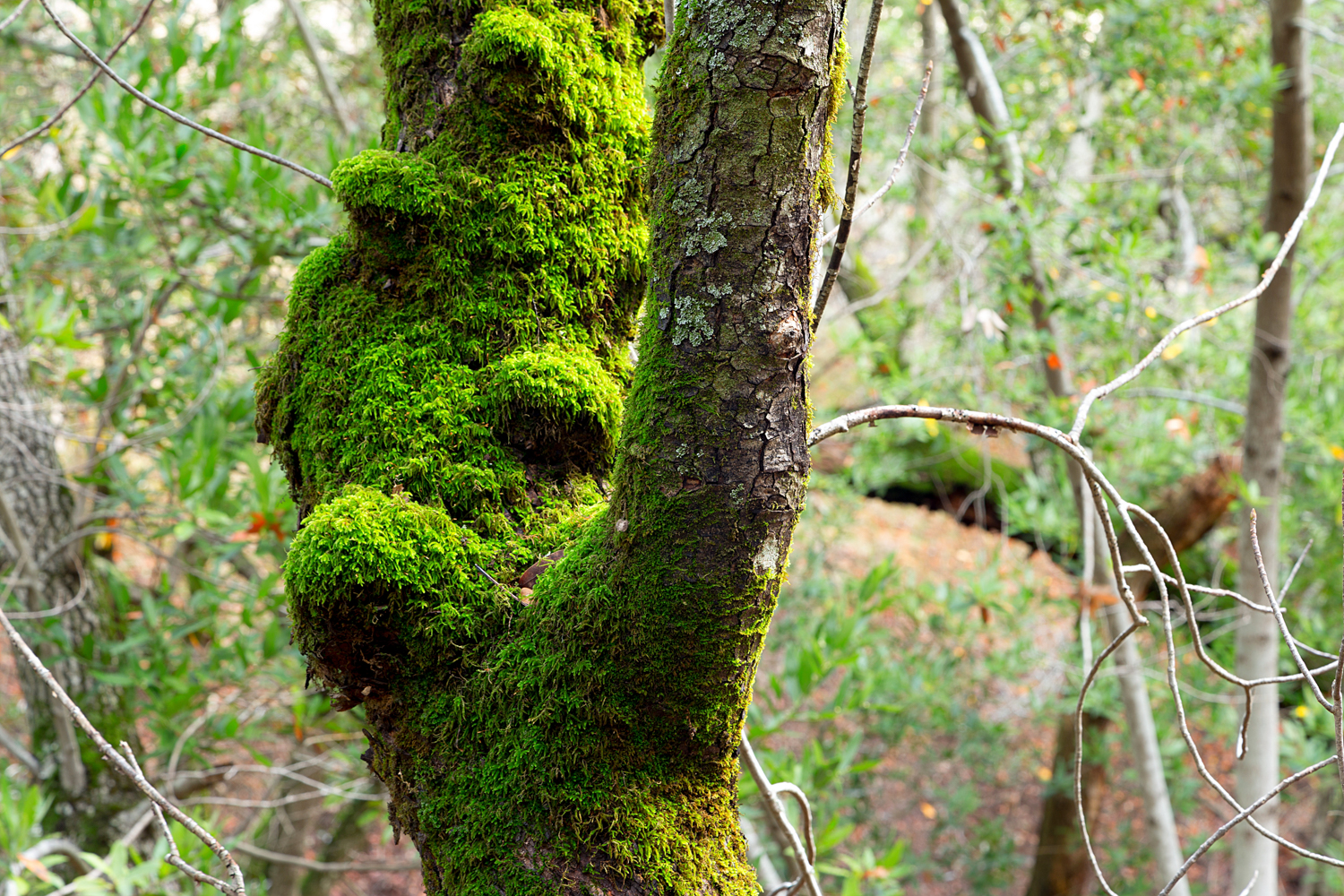
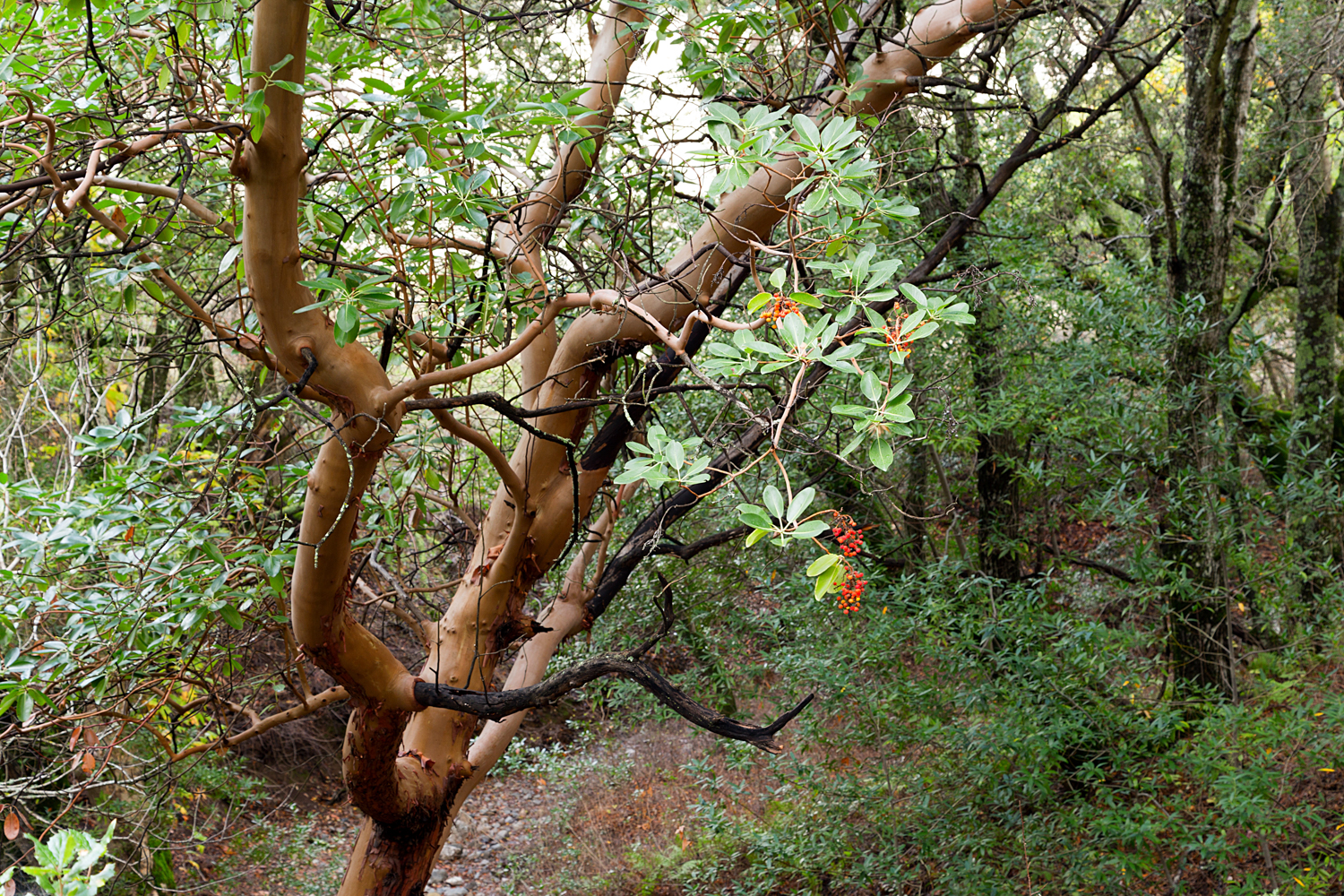
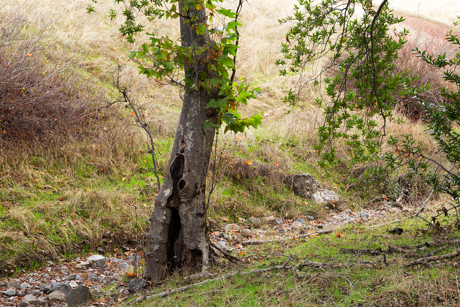
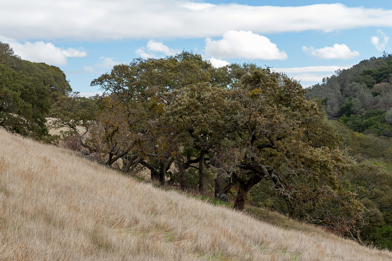
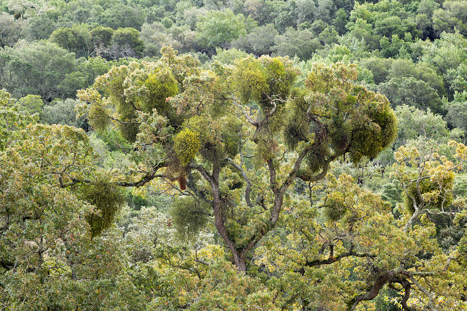
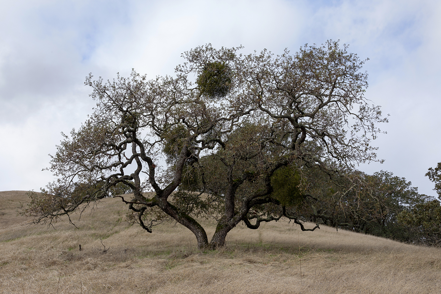
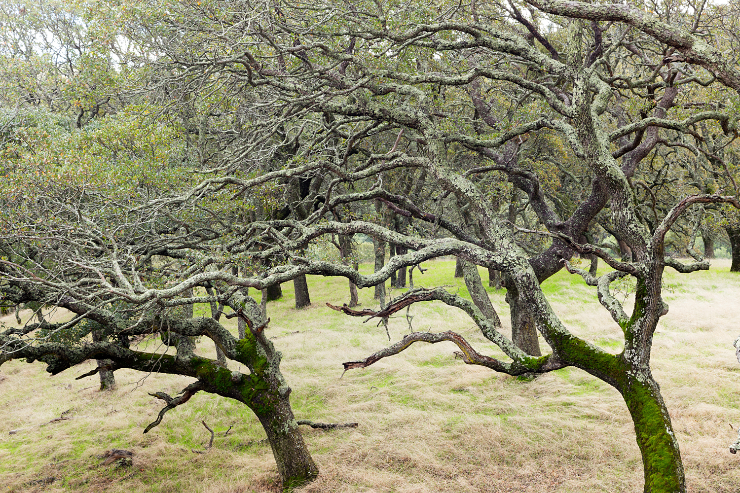
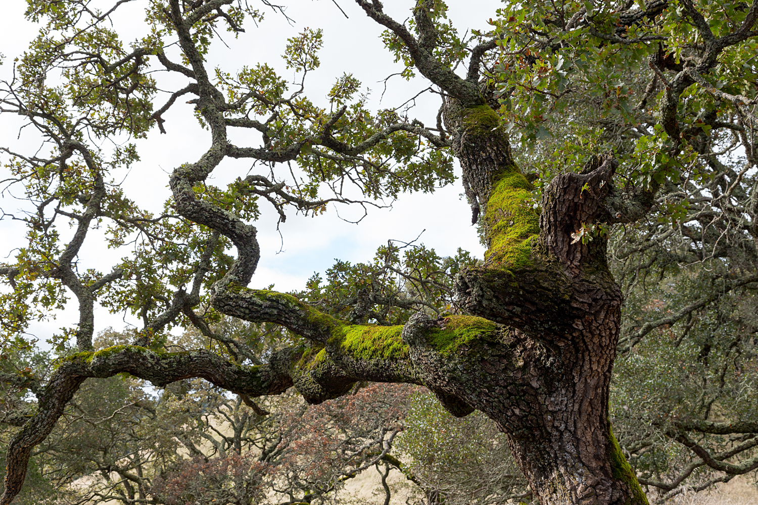
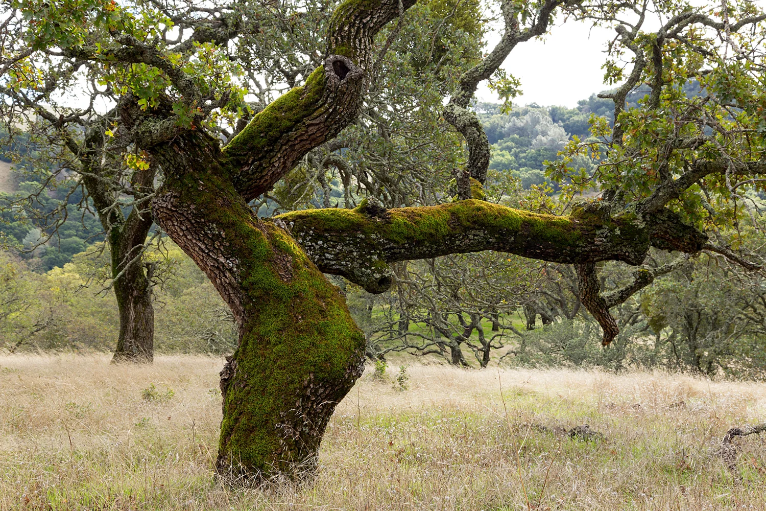
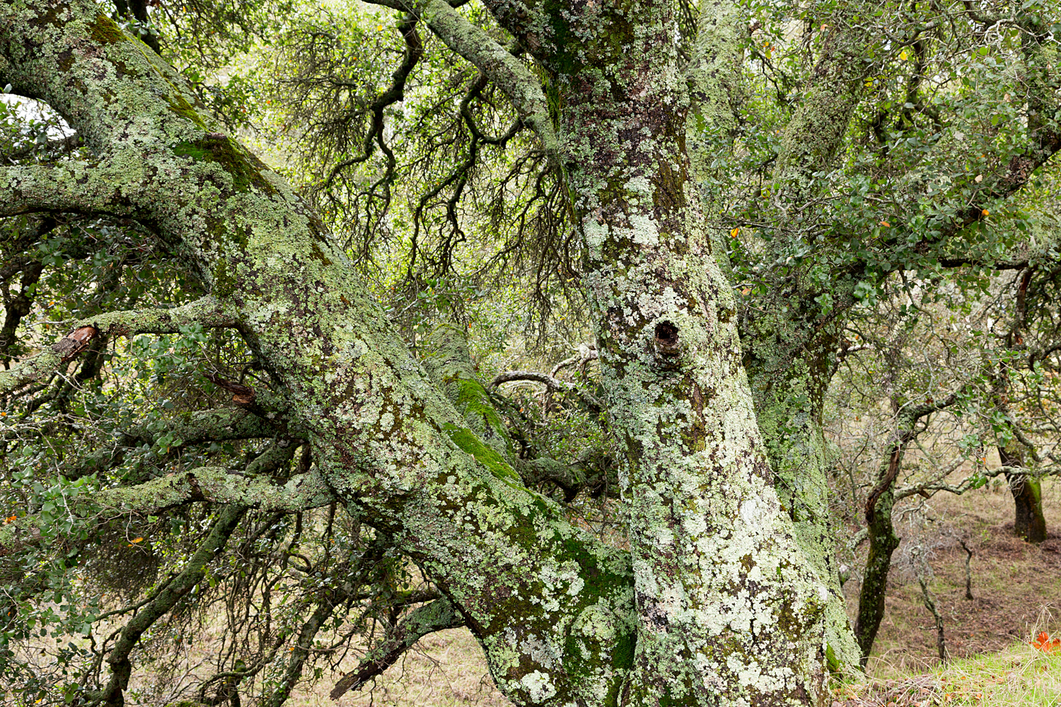
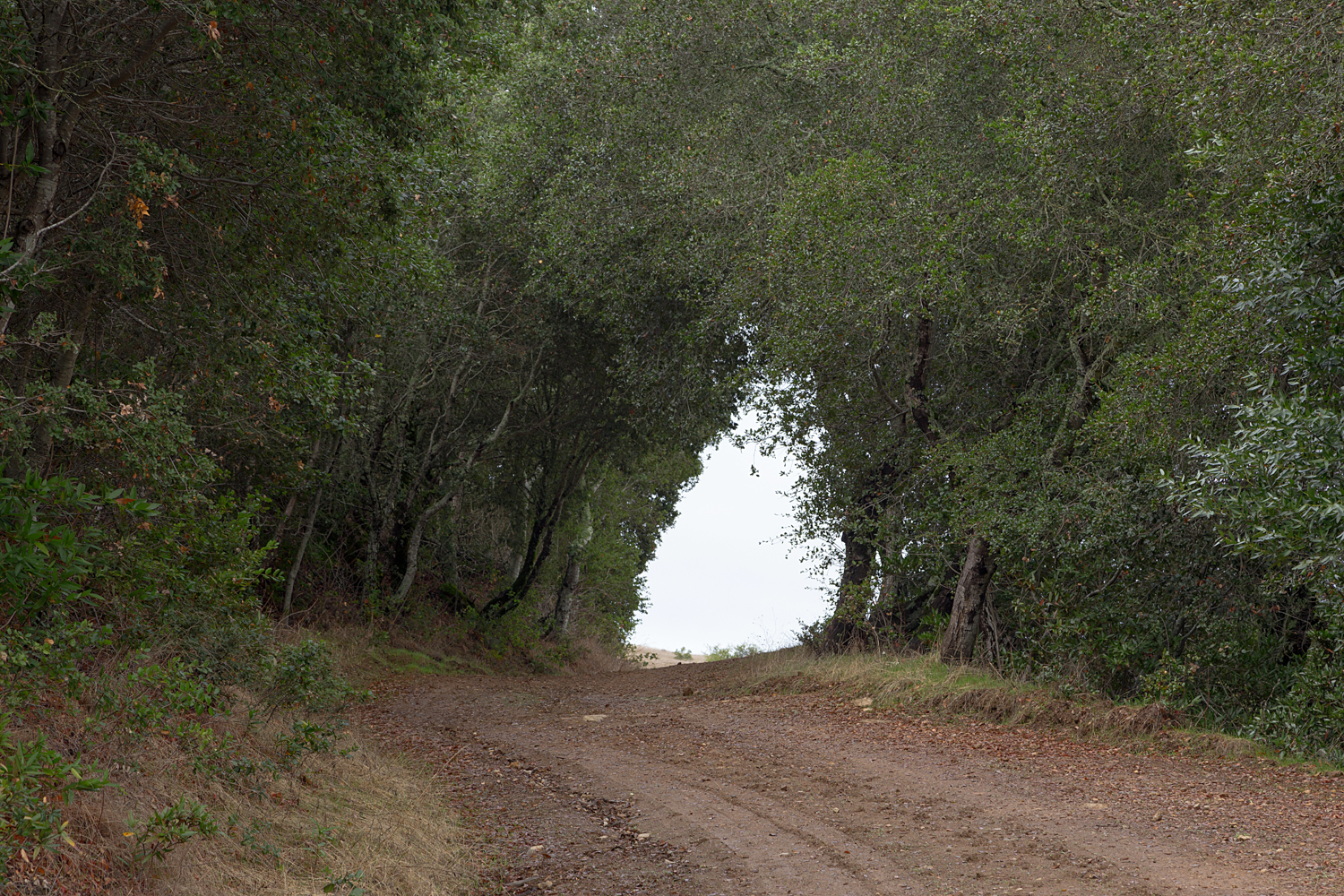
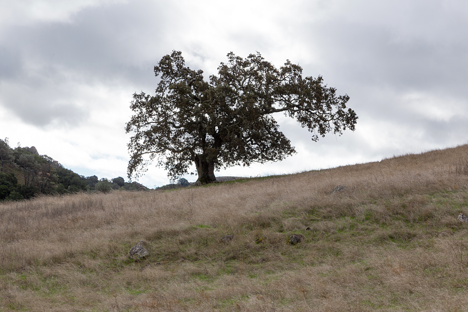
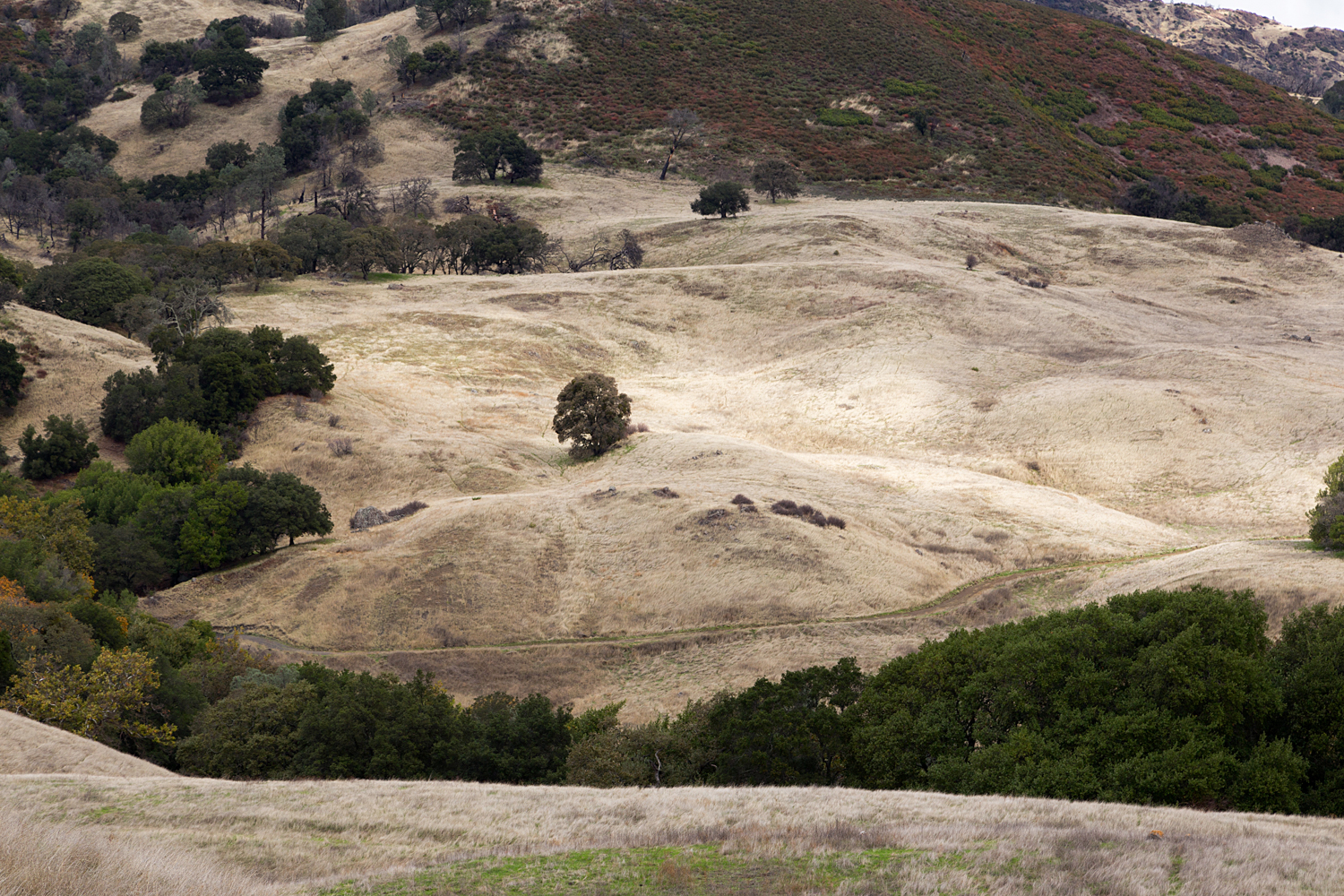
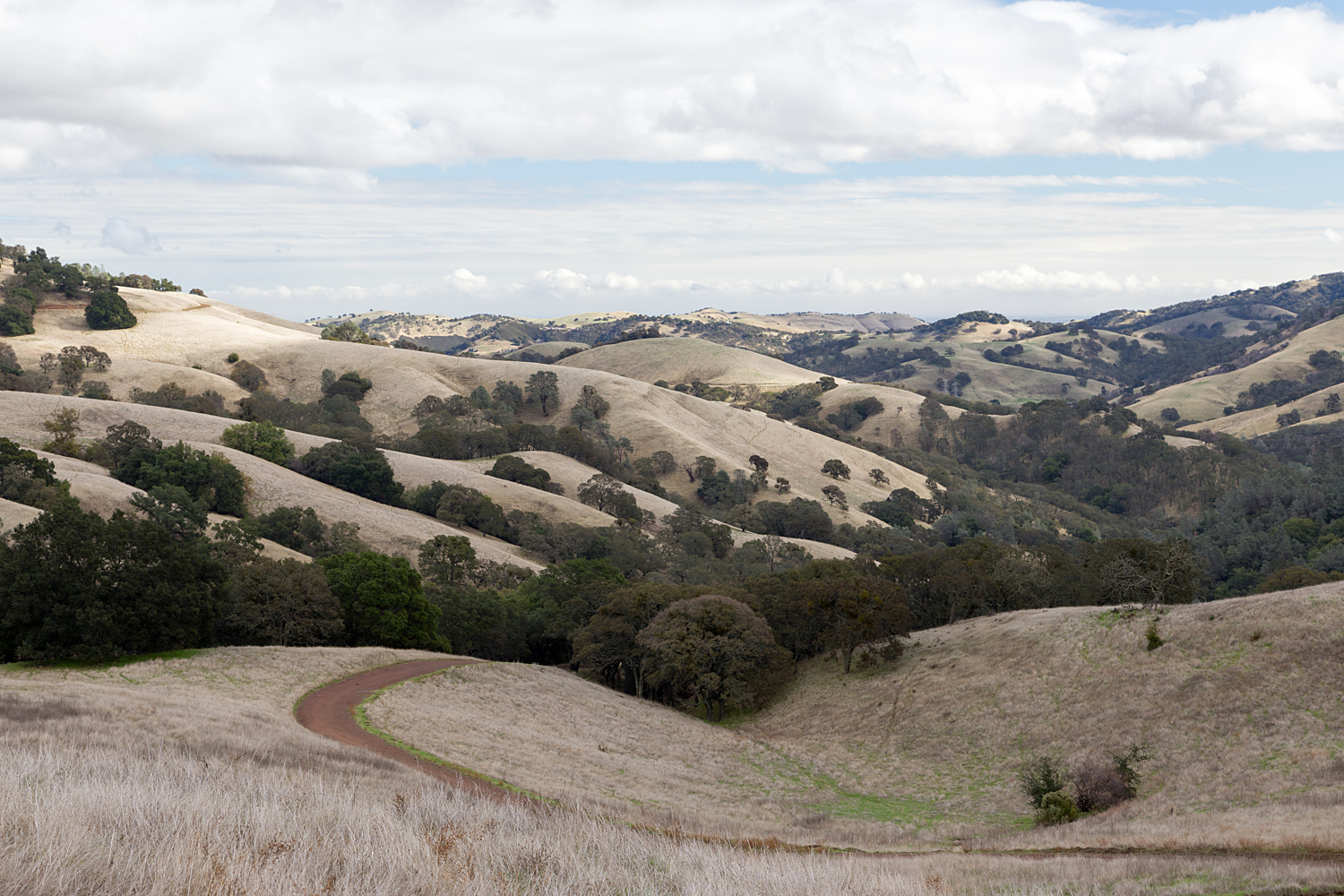
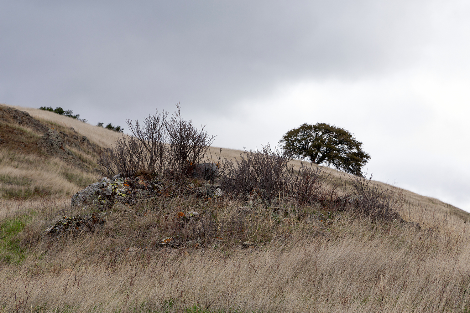
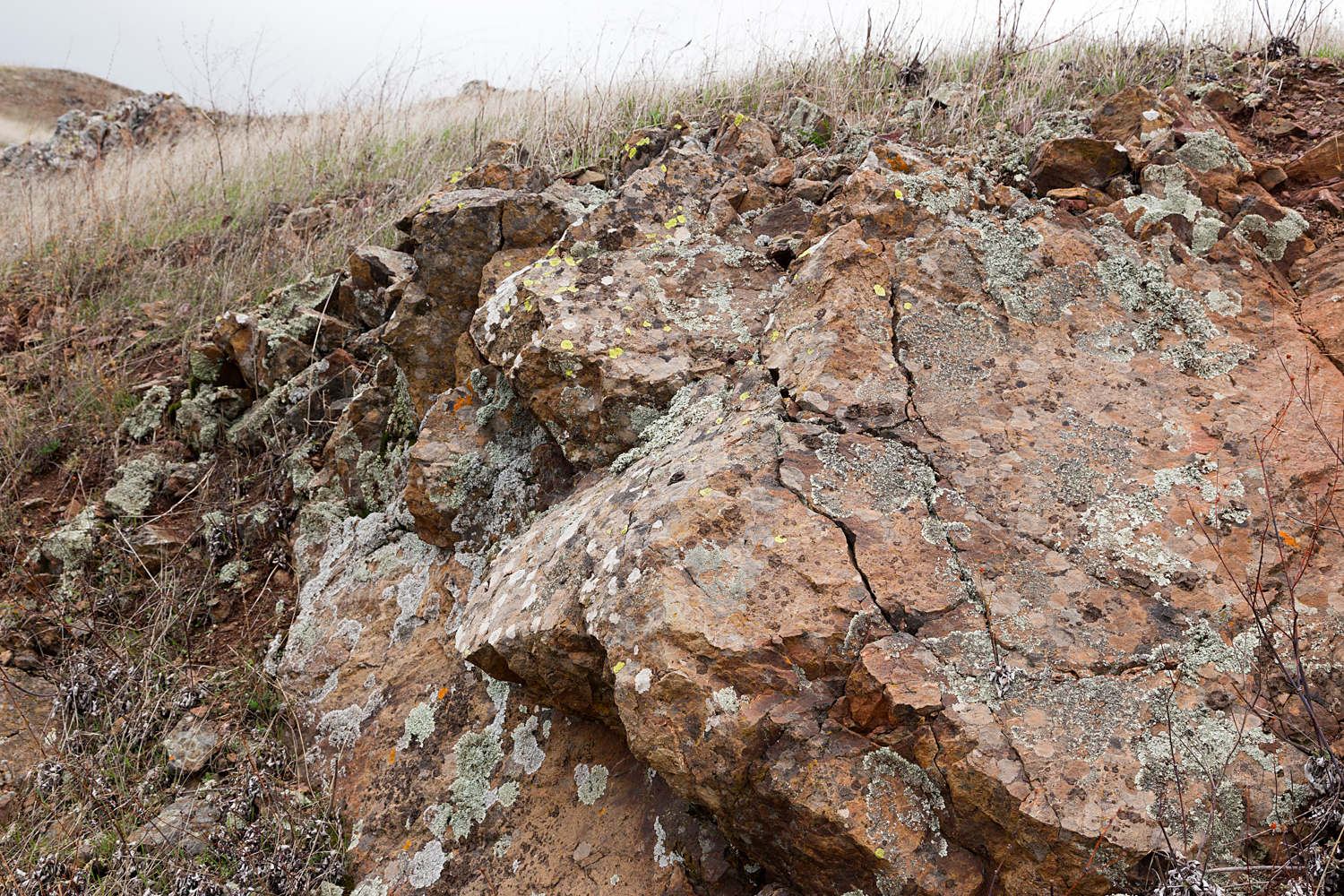
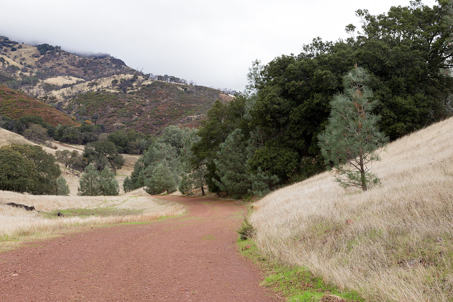
- Description: The hike descends and climbs, and repeats on the return. This part of the park is rolling hills, oak woodlands, with jutting rocks and boulders. In late October, don't expect much water in Chase pond. The trails are simple and wide, so enjoy the quiet solitude of this part of the park.
- Trail Map
- Trailhead and Parking: From the South Gate Entrance, park at Curry Point. State Park Fee applies.

Trailhead and Parking:
Take the South Gate Entrance to Mount Diablo State Park. (Map Below) From there, continue on to Curry Point, a parking area past Rock City on South Gate Road.

Hike to Chase Pond
Mount Diablo State Park